
Day 1 – 20 Jun, Nordkapp to Knivskjelloden
(19.5km, total 19.5km, 4h15, 1245-1700)
Video of the day is here: Video for Day 1
I woke once during the night but otherwise had a great sleep. I got up at 0745 and after a shower and packing I walked the 2.5km from the hostel into Honninsvag town. It was pretty hot with the bright sun
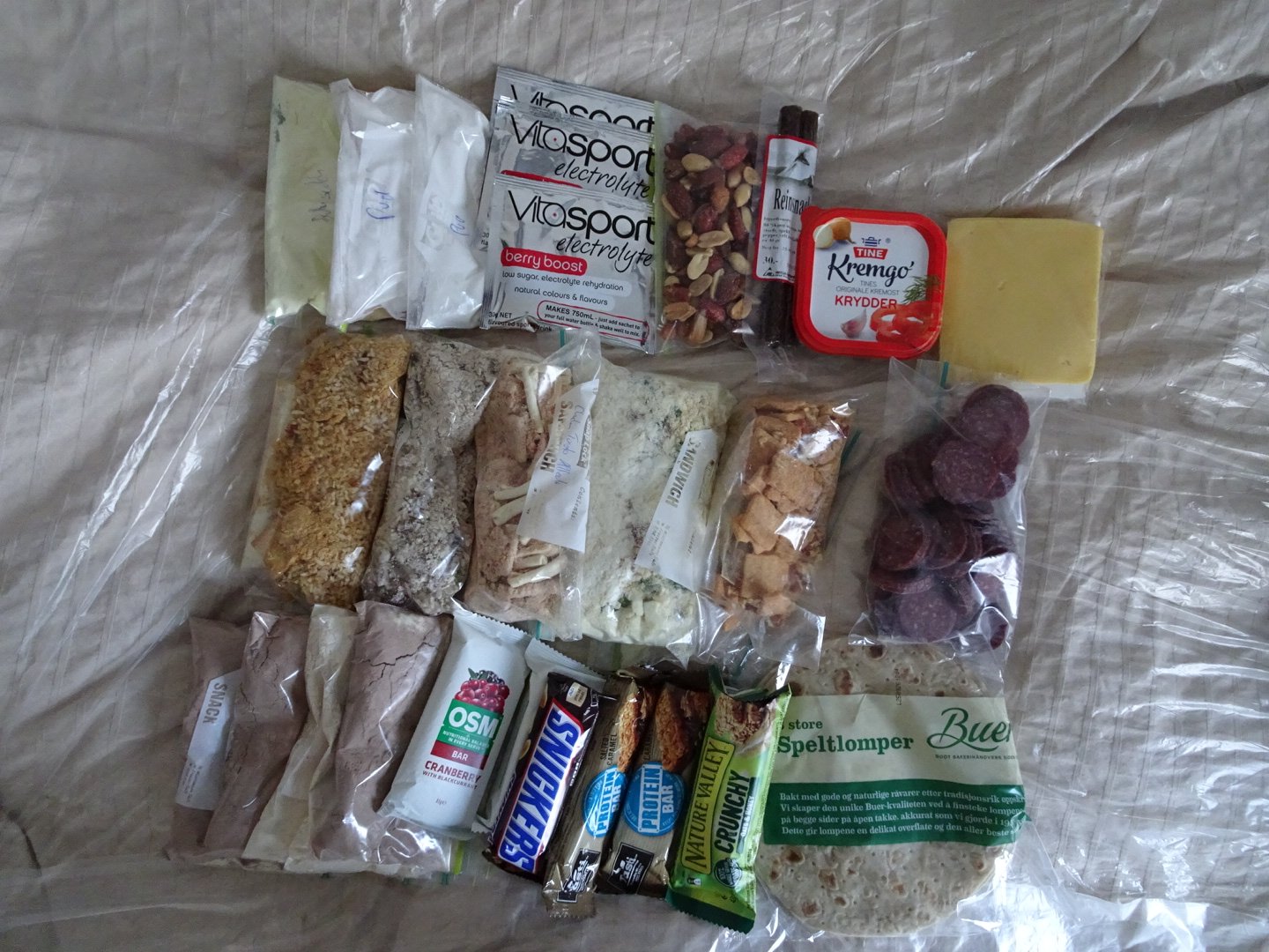
Food for the next 6 days
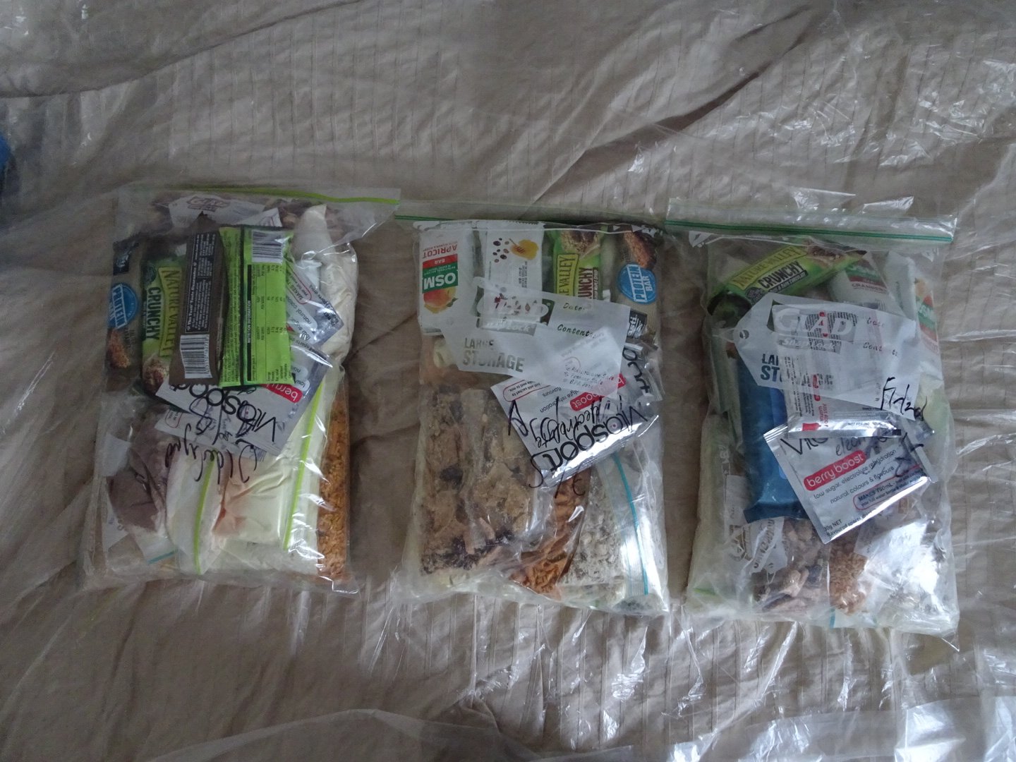
Resupply packages for 20 days
The first stop was Intersport were I was able to pick up a stove and gas canister. The stove is a Primus micro. I have no idea of the weight but it should be fine. It does not fold up as compact as my MSR pocket rocket but should still fit in my cup for storage. Next was the post office where I sent resupply packages to 4 locations and my shoes to another.
Finally rid of the heavy and awkward box I felt light as I walked to the information office to purchase tickets for the bus to Nordkapp. The normal price, including the bus and entry to Nordkapp, is normally 650 NOK (5.6 NOK to NZD) but as I was going one way and was walking the length of the country they only charged me 250 NOK. I had an hour and a half to fill so I went to a cafe for an early lunch and sipped on a couple of coffees very slowly while I waited.
At 1145 I was back at the information centre to catch the bus. The temperature had dropped and there was now a heavy fog. Little did I know the sun this morning was the last I would see for five days.
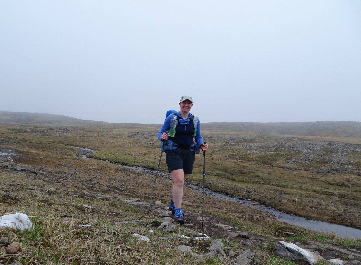
I was really surprised that I was the only one on the bus as we are getting close to peak tourist season. There were 5 buses which departed just before us as the Hurtegruten Ship had docked. The driver was friendly and pointed out some things as we drove such as crossing 72 latitude. There were quite a few reindeer so I definitely feel like I am in the Arctic circle now. There were a couple of patches clear of the fog but generally there were no views. I was surprised but sitting in the bus I was feeling really nervous. I had been excited before but now that I was nearly at the start the doubts started about the scale of what I have set myself to achieve, in a tight timeframe, in a strange country, with very little information.
At Nordkapp I made the most of my last flush toilet for a while. I then headed outside to the globe for mandatory photos.
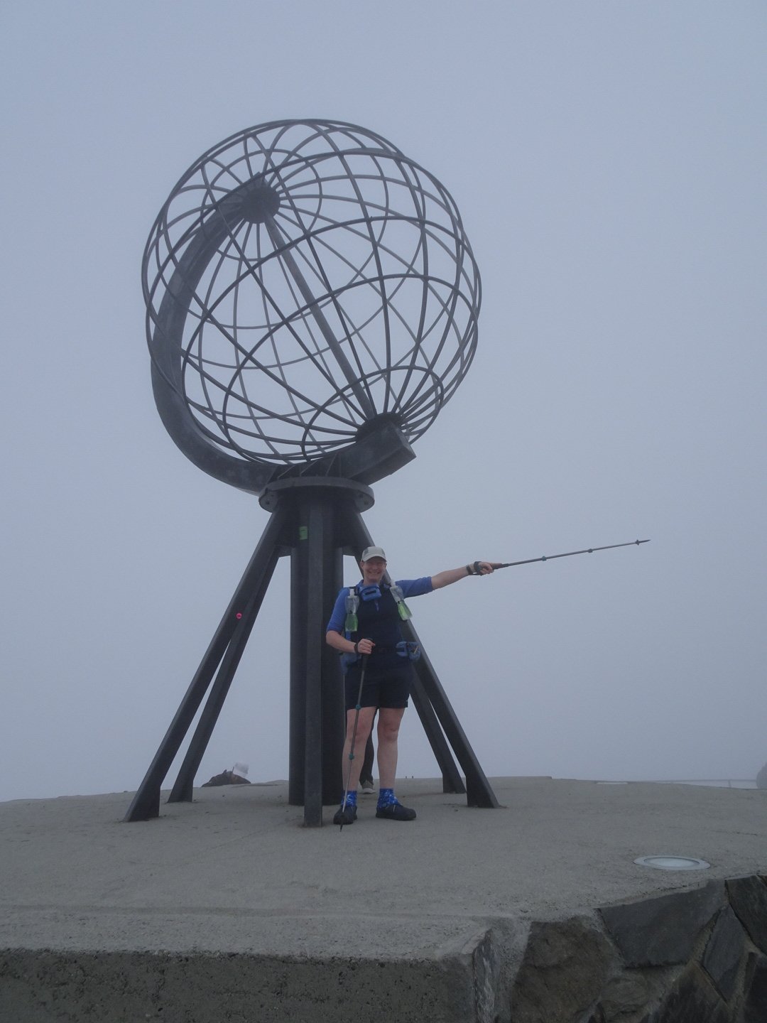
That way to Lindensnes- only 2,600km to go.
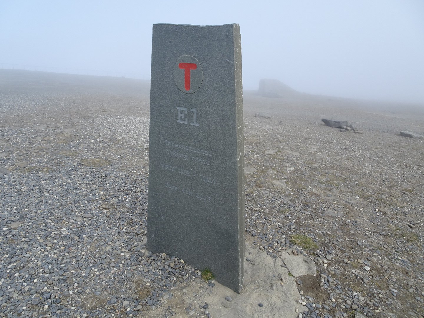
Start of E1 trail to Spain, I follow this for a way
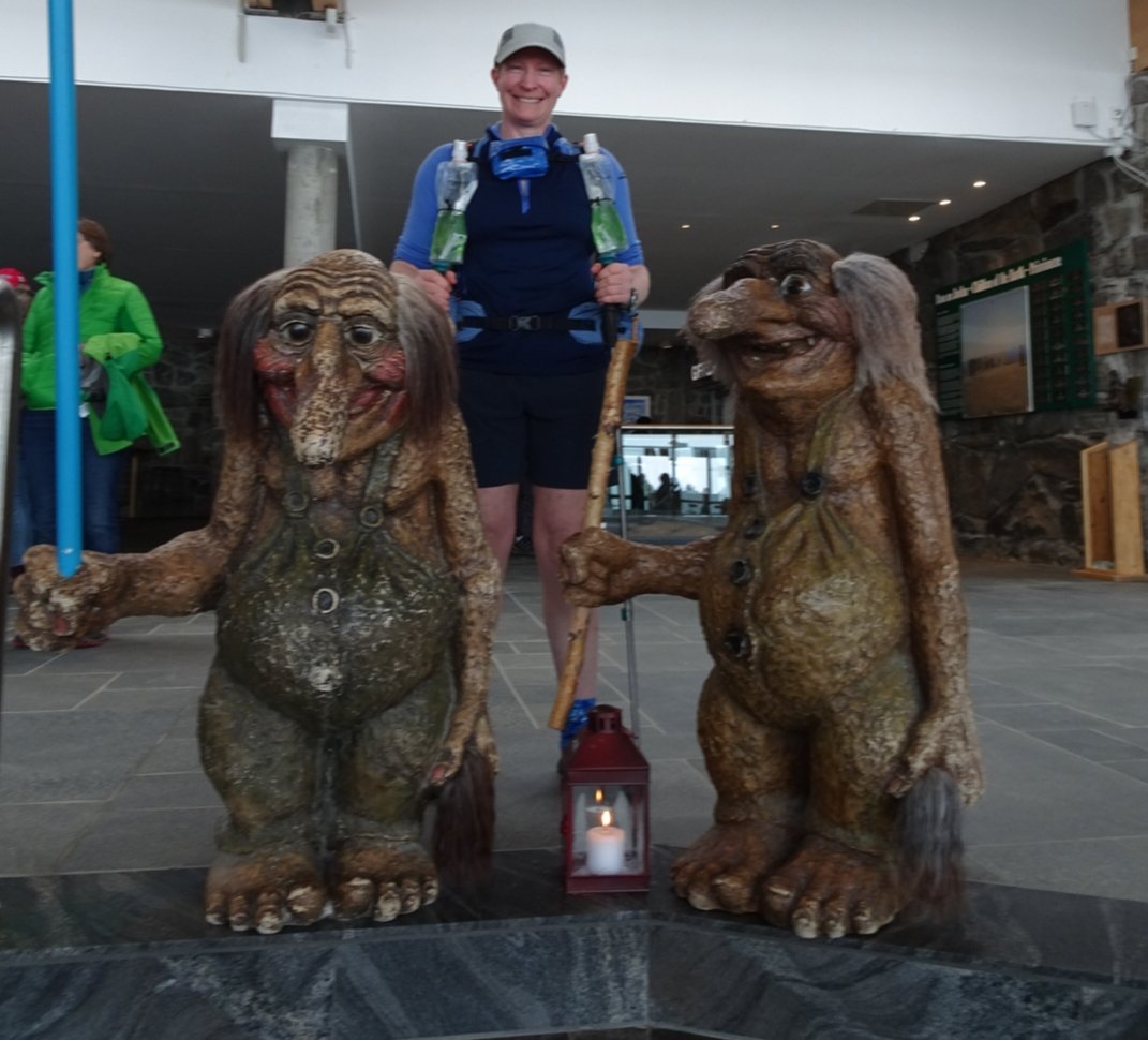
I was stared at by heaps of people and I am not sure if it was because of my pack and trekking poles or the fact I was in shorts and had my sleeves pushed up while everyone else were dressed as if they were in the Arctic – imagine that. They all looked cold but I was fine. On the way back through the reception I could not resist a troll photo.
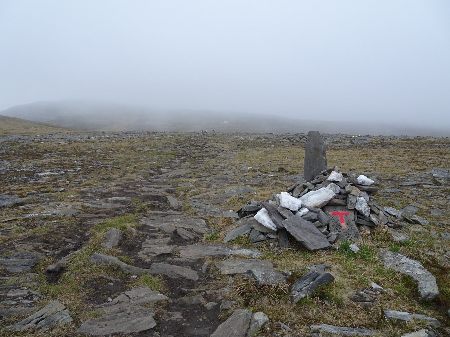
I headed to the children’s monument to pick up the trail which was marked by cairns for a couple of hundred meters and then nothing.
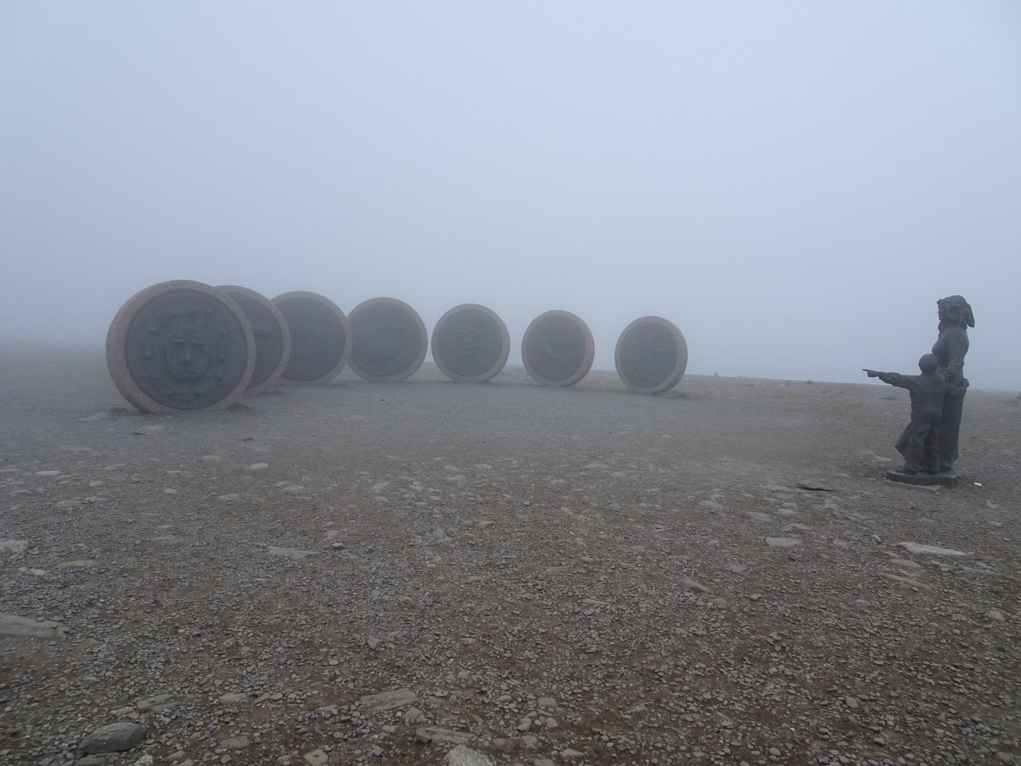
Childrens Monument
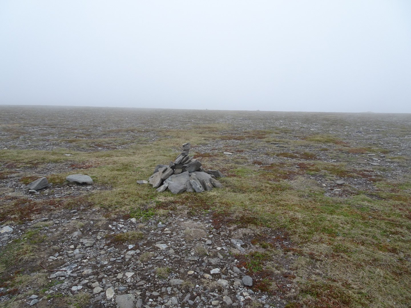
Cairn marking the way
I am not sure if I just couldn’t see the cairns in the fog or if there were none. It didn’t really matter and I just stayed within earshot of the road.
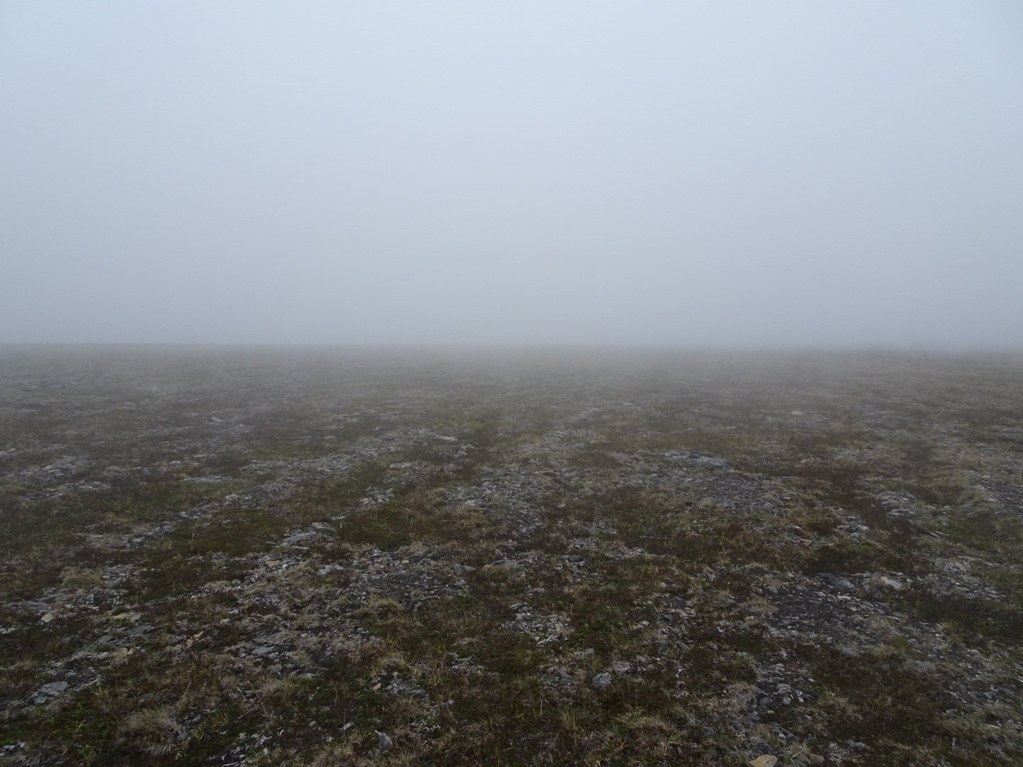
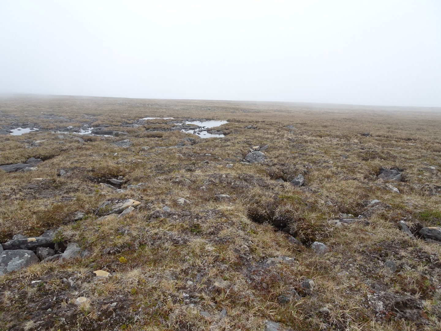
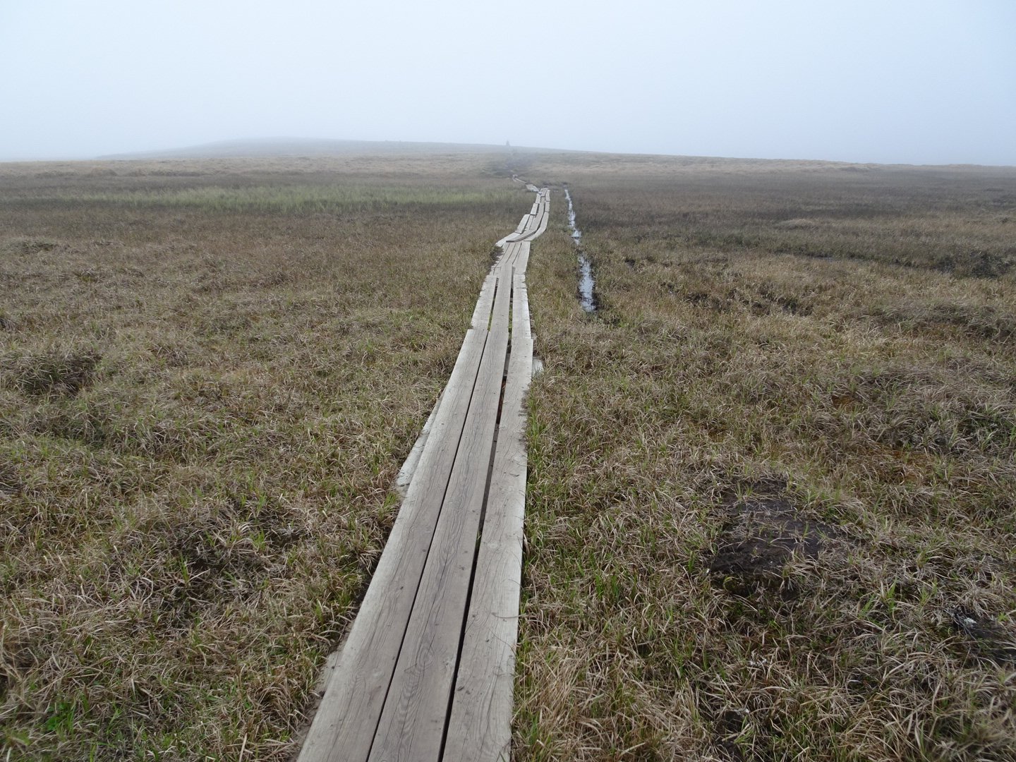
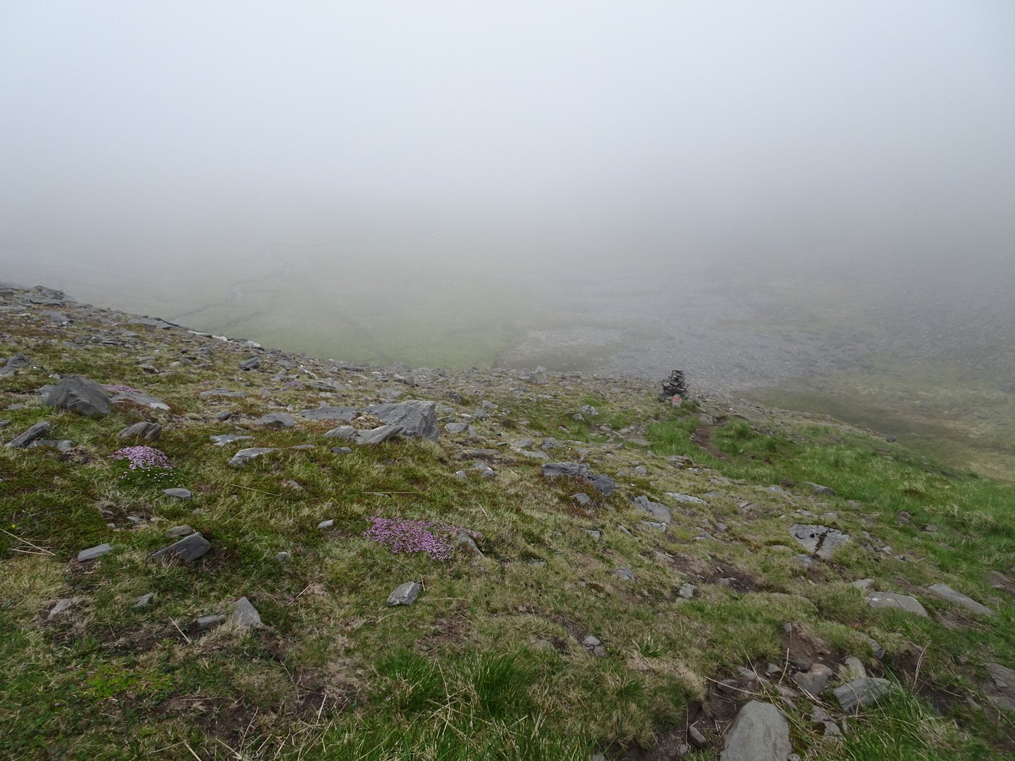
After a km I crossed the road and continued but I still couldn’t see any trail markers. Passing a side road meant I knew exactly where I was so Iooked a bit more for a trail but still nothing. The trail gets a it further away from the road according to the map so I made my own way through the alpine grass. Not having a trail wasn’t a big issue as the grass was really short and it was easy to walk on. There were several rocky patches and slightly swampy areas but still easy walking.
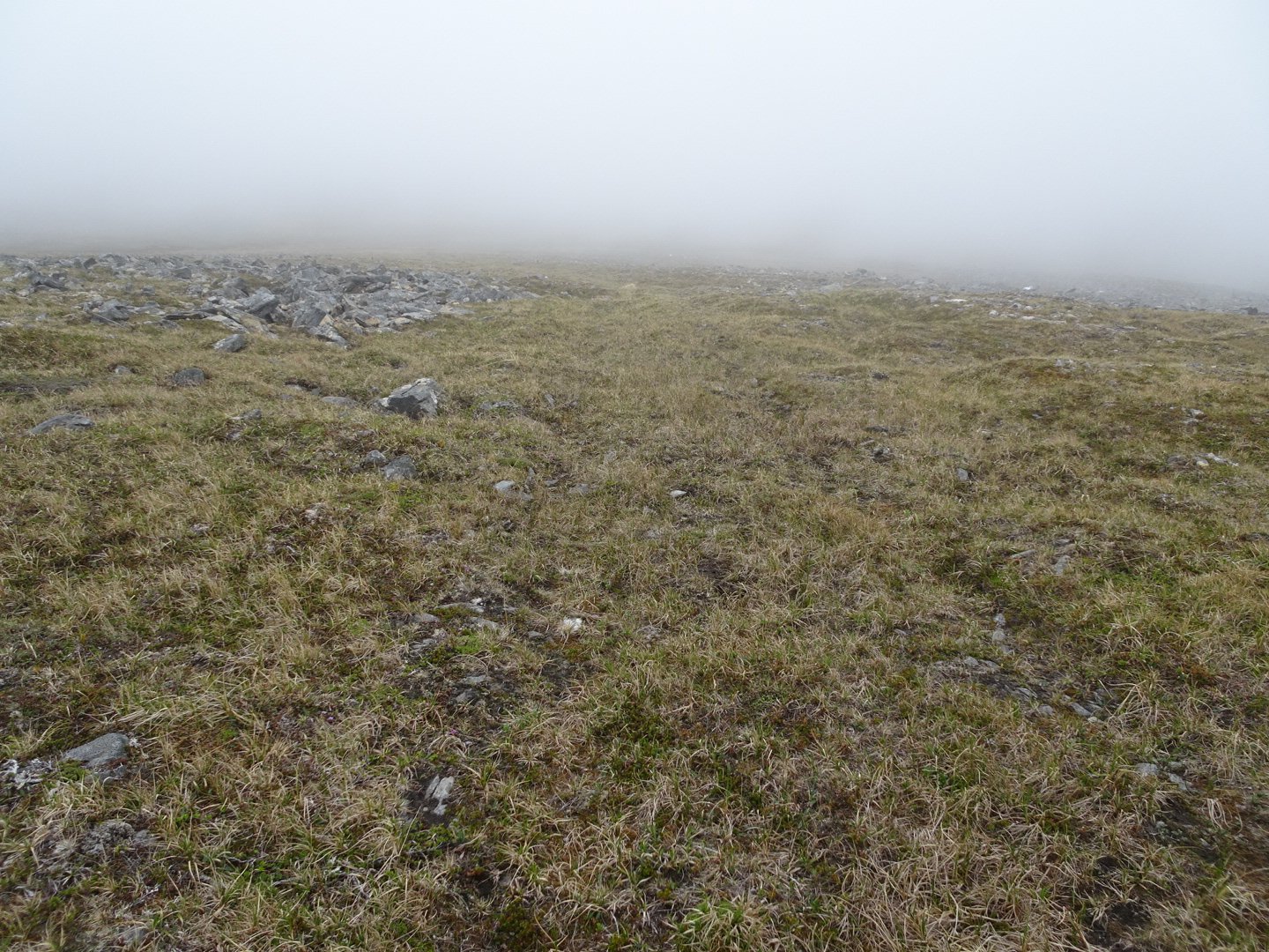
At one point I came across a cairn with a metal pole in it. I saw one more cairn then lost them again. It was actually difficult to find the cairns. Not only was visibility changing between 20 and 50 meters but there were natural rocks that stuck up and also bright white rocks which I headed towards a couple of ties thinking they were trail markers.
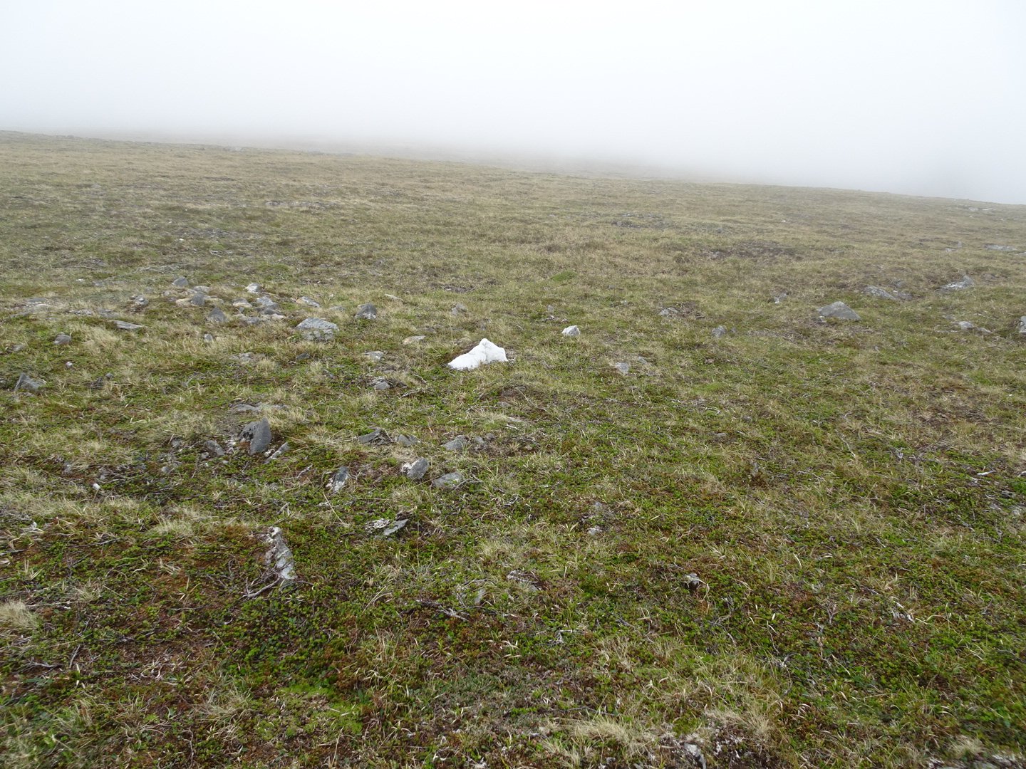
White rocks stand out
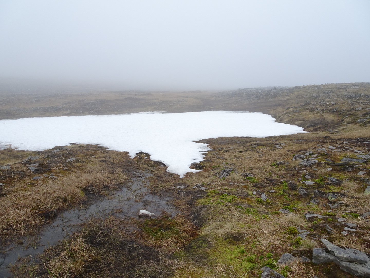
My right archilles was starting to hurt a little so I stopped and did some stretches which seemed to help. After about a km and a half I came across a faint vehicle track and followed that for a hundred meters to a swamp. I edged around the swamp but then couldn’t avoid it and got wet shoes. The track reappeared on the other side of the swamp and then there was a junction with no indication of which was the best way to go. I then noticed a orange marker pole lying on the ground and after looking around saw another 20 meters away. These headed straight so I ignored the vehicle tracks and started following the marker poles. The poles were quite close together but were all broken off at the bottom or just lying on the ground I am assuming they fall down when there is heavy snow.
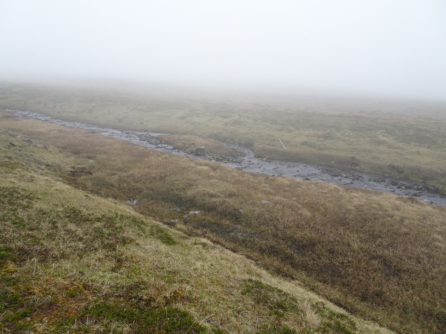
White pole just visible across the creek
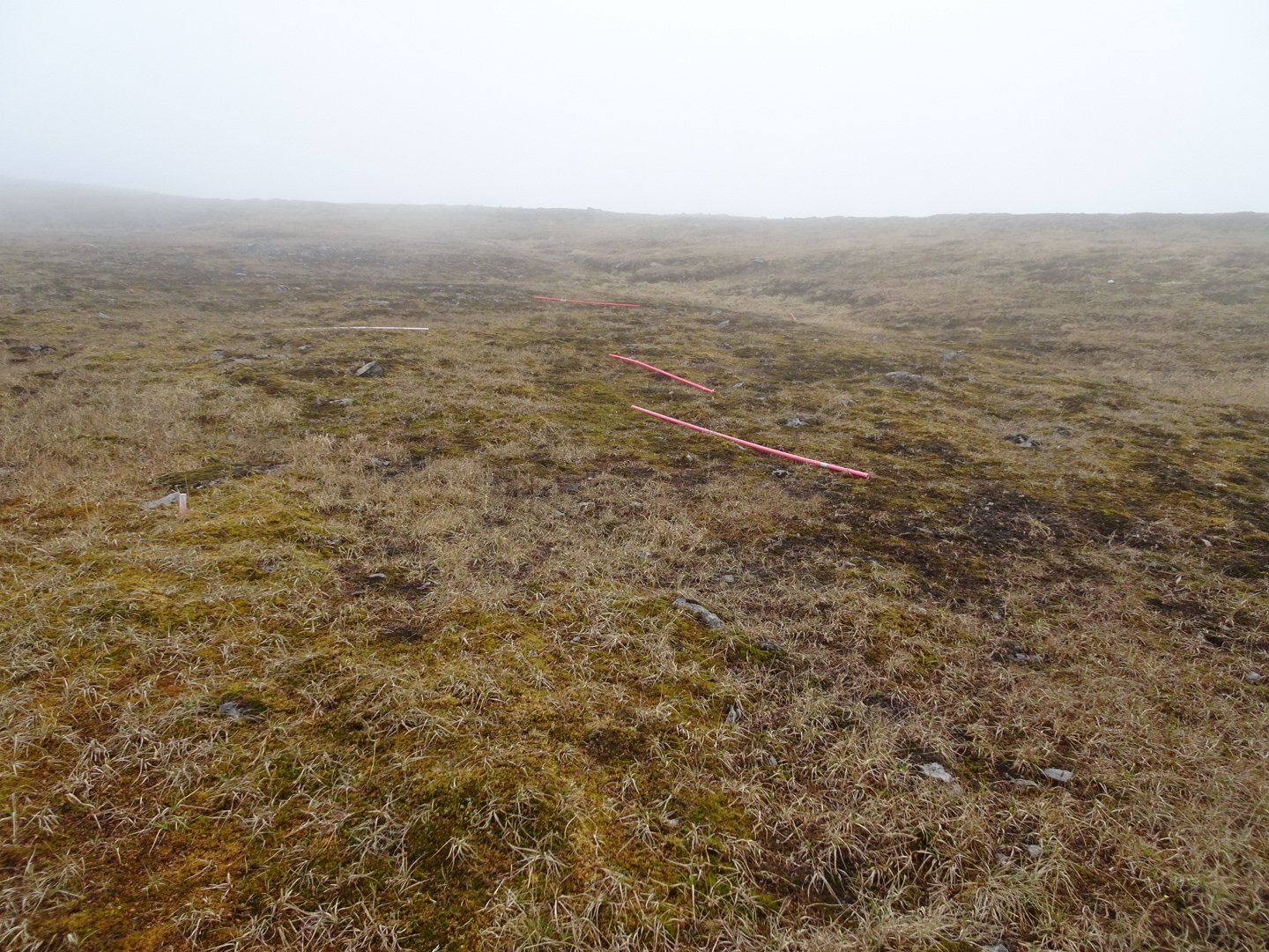
Marker pole graveyard
I followed the poles up the hill until I lost them again. They started to get further apart and guess they changed direction but as they were only visible when standing next to them it was not easy to follow them. I could hear the traffic on the road so I kept heading in the same general direction. My archilless started hurting a little and I was getting a little worried. I have never had a problem with my achilles and having this on the first day was not a good start. After another round of stretching the pain went away and I did not notice it again for the rest of the hike.
I was walking along when I felt a rush of air and then a shriek in my ear. I wasn’t sure what had just happened and looked around into the fog but didn’t see anything. I kept walking and the same thing happened again but as I was looking around I saw a shape coming at me at a rapid speed and managed to get my pole up to protect myself. With a shriek the bird veered away and I relaxed until the second wave came in and another bird swooped. I was being dive bombed by two birds and they kept up the attack for a good 5 minutes.
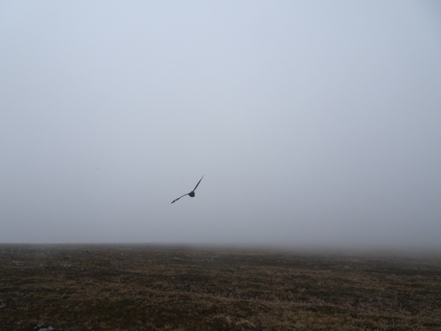
Bird attack!
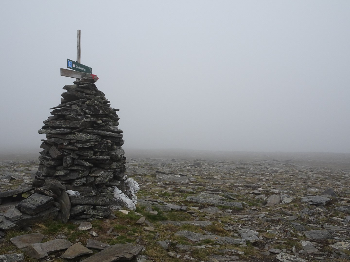
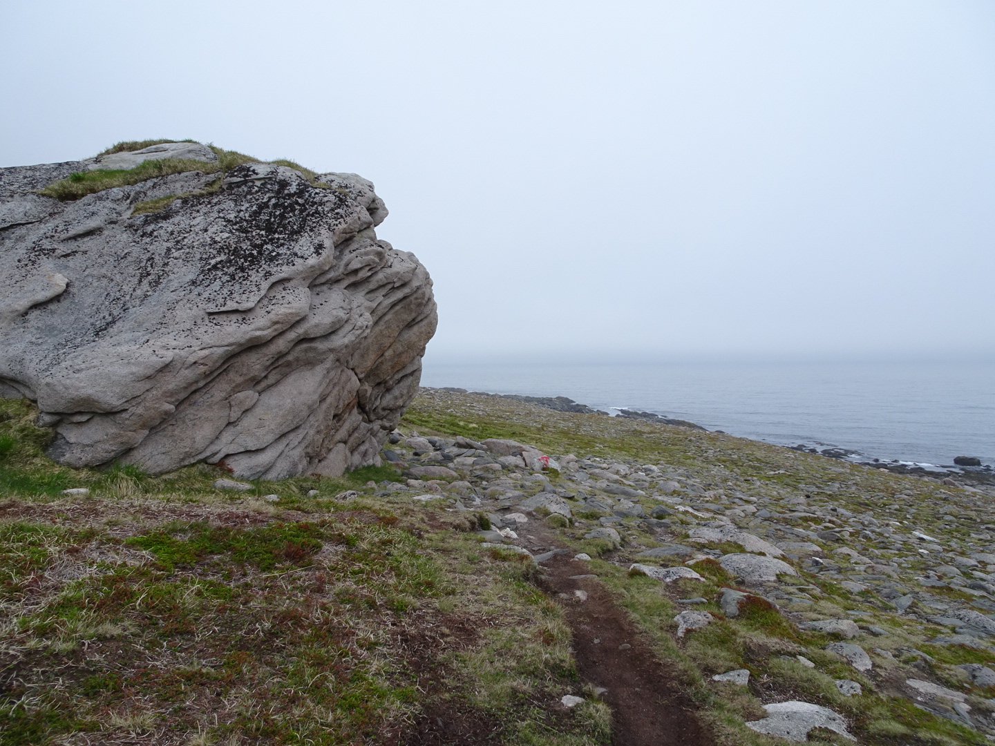
After a while I got closer to the road and managed to pick up the marker poles again which I followed for around a km before seeing a park full of campervans appear though the mist. This was the carpark for the trail to Knivskjelodden.
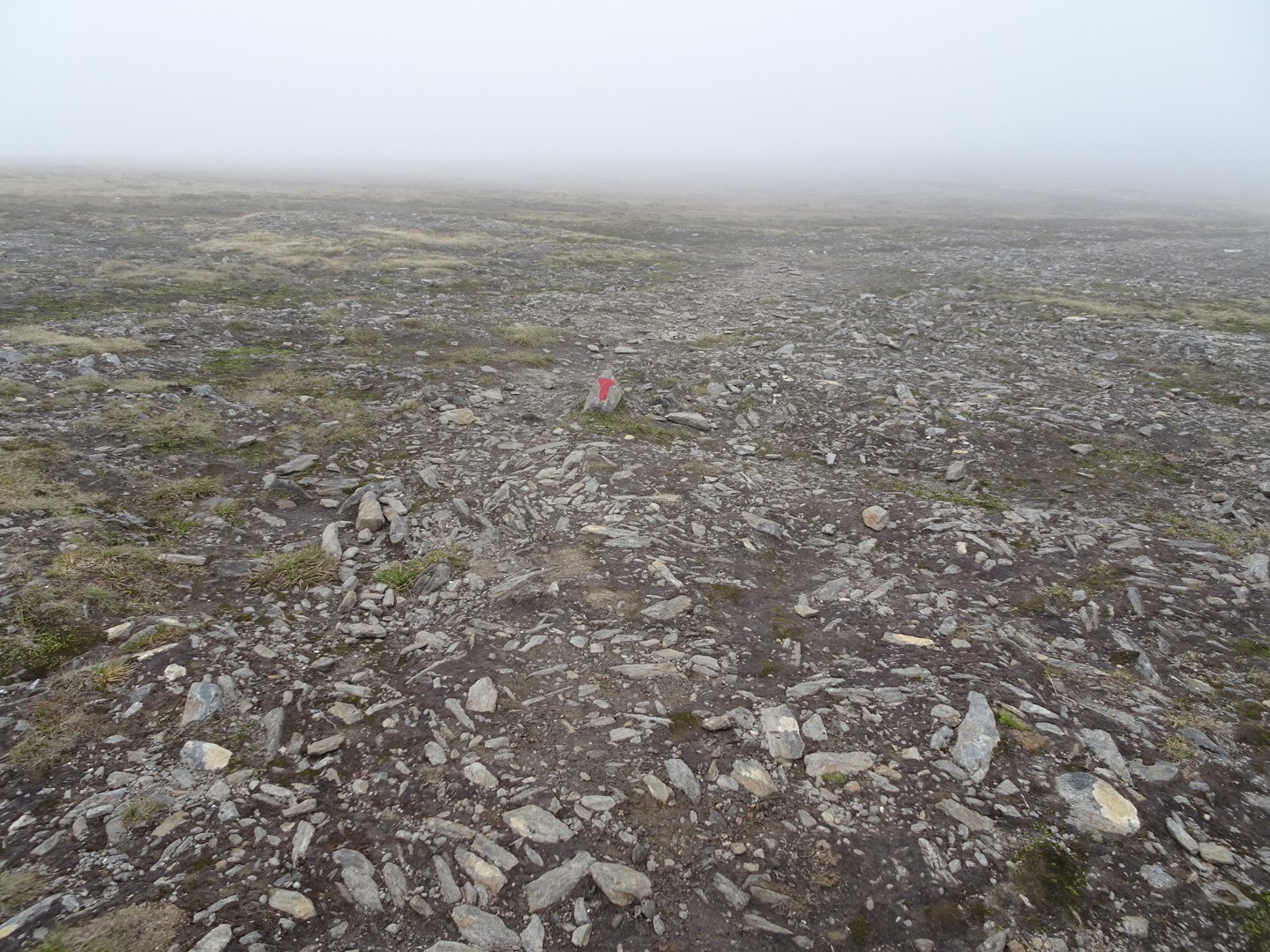
After a quick look at the information board I headed down the track. This was a proper track and very easy to follow.
Every 5 minutes there were people retuning to their car. There were quite a few people who did not look like they were returning form a 18 km walk. The track gently headed downhill to a lake. The track was rocky and there were a couple of muddy bits but overall it was fast walking.
Not long after the lake I crossed a stream and the track headed up hill and then to a junction.
The wind had increased and it was starting to get a little cold. The fog was so heavy water drops were forming on my face. I was debating whether to stop and put something on when I went around a corner and suddenly it was warm again. After a bit of undulation I could see a lake in the distance (distance being relative to the fog thickness) and the trail was flat for awhile before there was a steep drop.
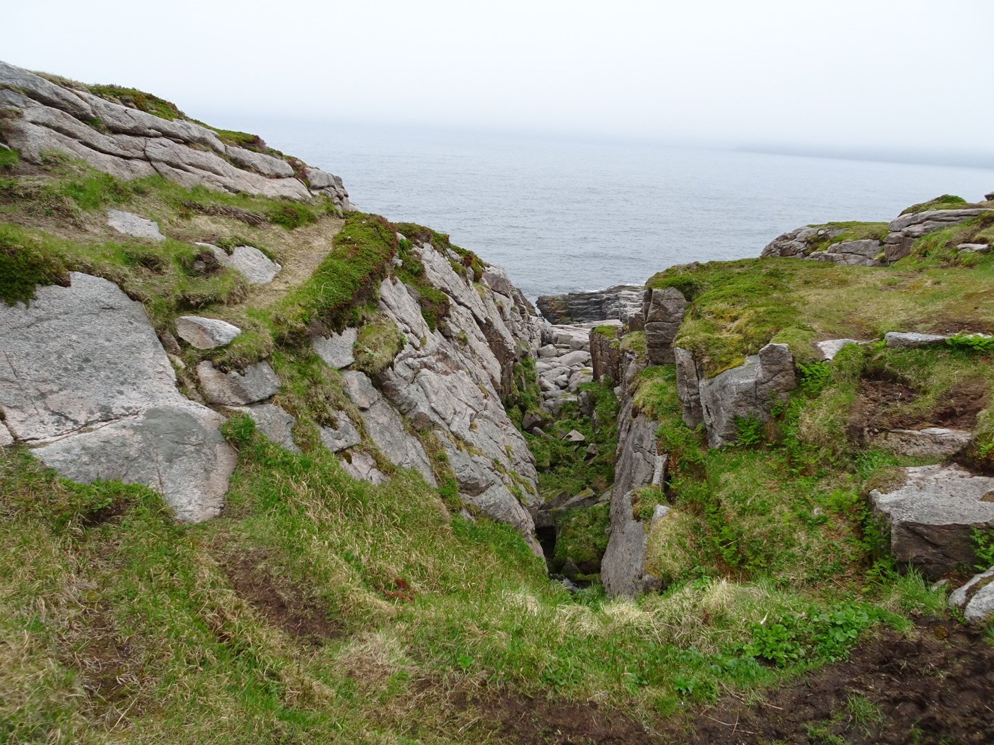
I could hear a noise and I was not sure if it was a waterfall or waves in the ocean. Not long afterwards I dropped below the fog into a wide valley with a stream going through it to the ocean at the end of the valley. The temperature was now nice and warm. There was a bridge crossing the stream and I stopped to fill up my water. There were lovely potential tent sites but I wanted the option to camp further on if I found a nice spot.
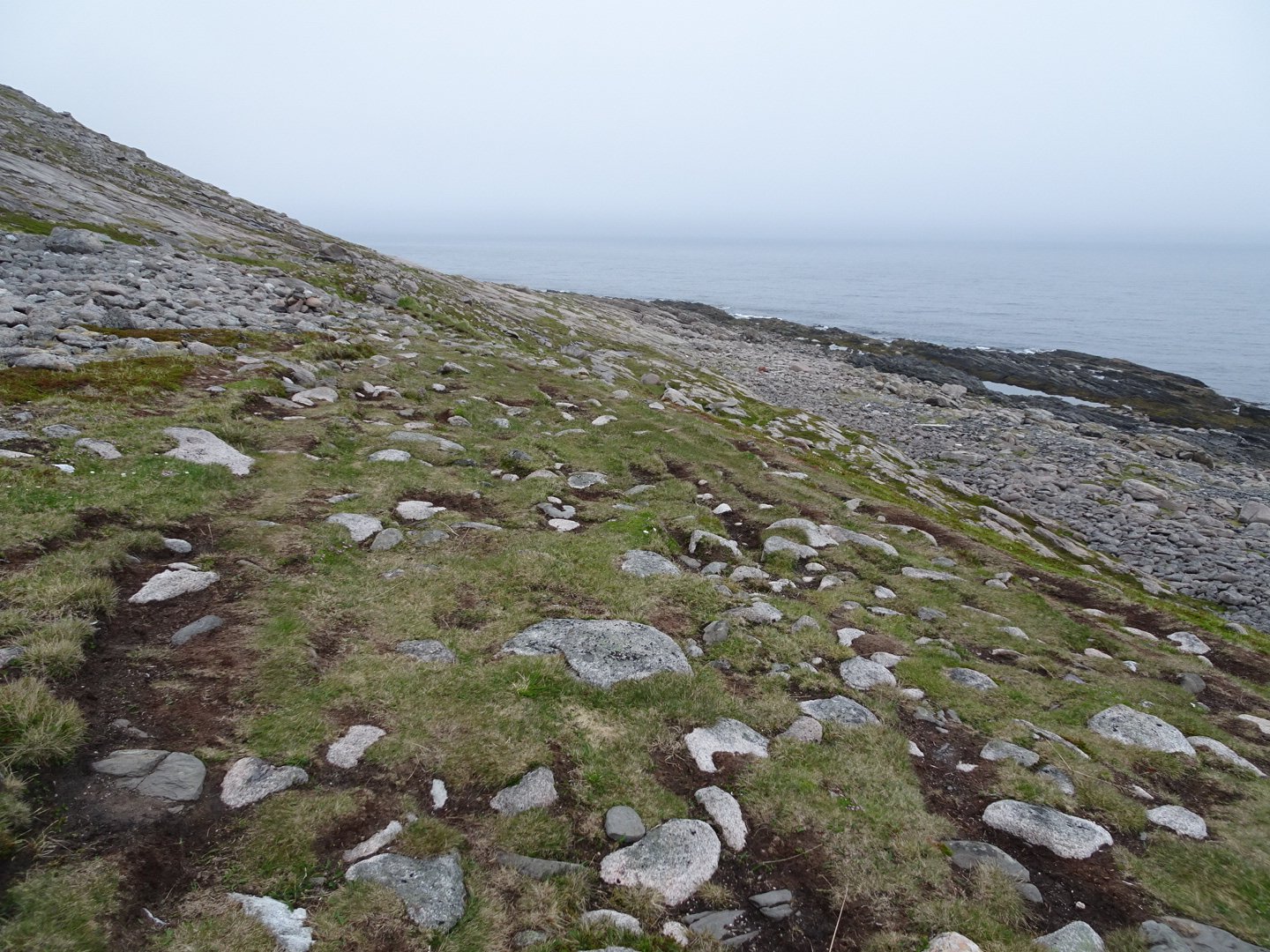
The trail headed to the left end of the valley and edged between the steep hills on the left and the ocean on the right. There was a really neat area where there were large slabs of rock to walk over.
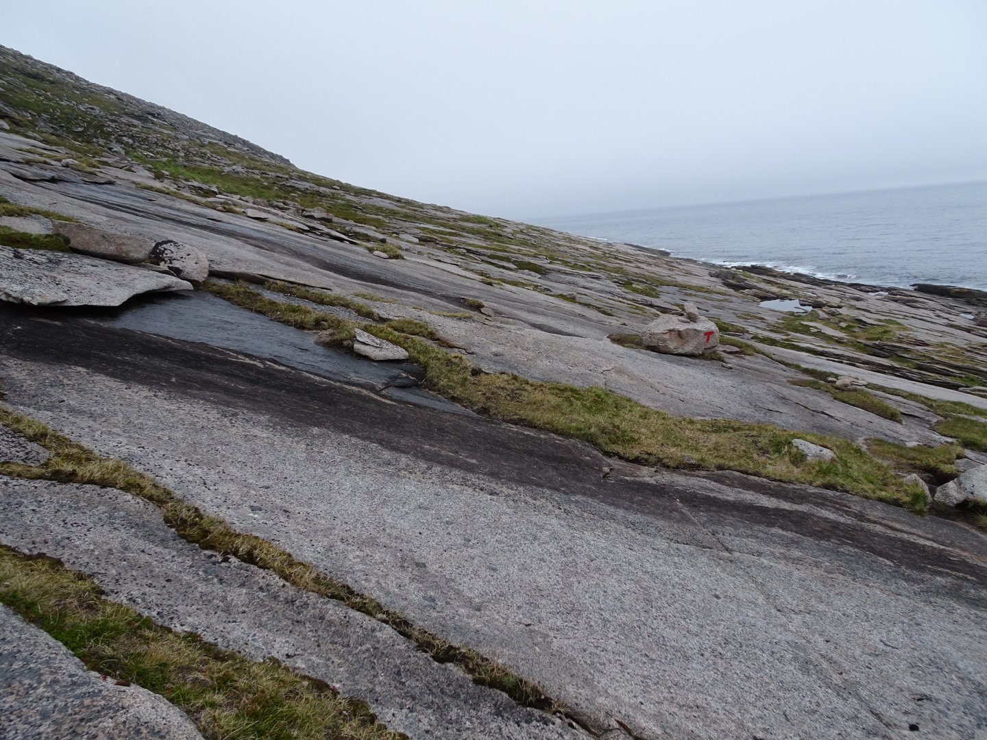
Then I spotted a rectangular cairn which seemed to have very defined edges. As I got closer I was it was concrete and there was something just up the hill from it. When I got close enough to read I realised it was the marker for Knivskjjellodden, the northern most point of continental Europe. I was a little underwhelmed. I am not sure what I was expecting but I guess not this.
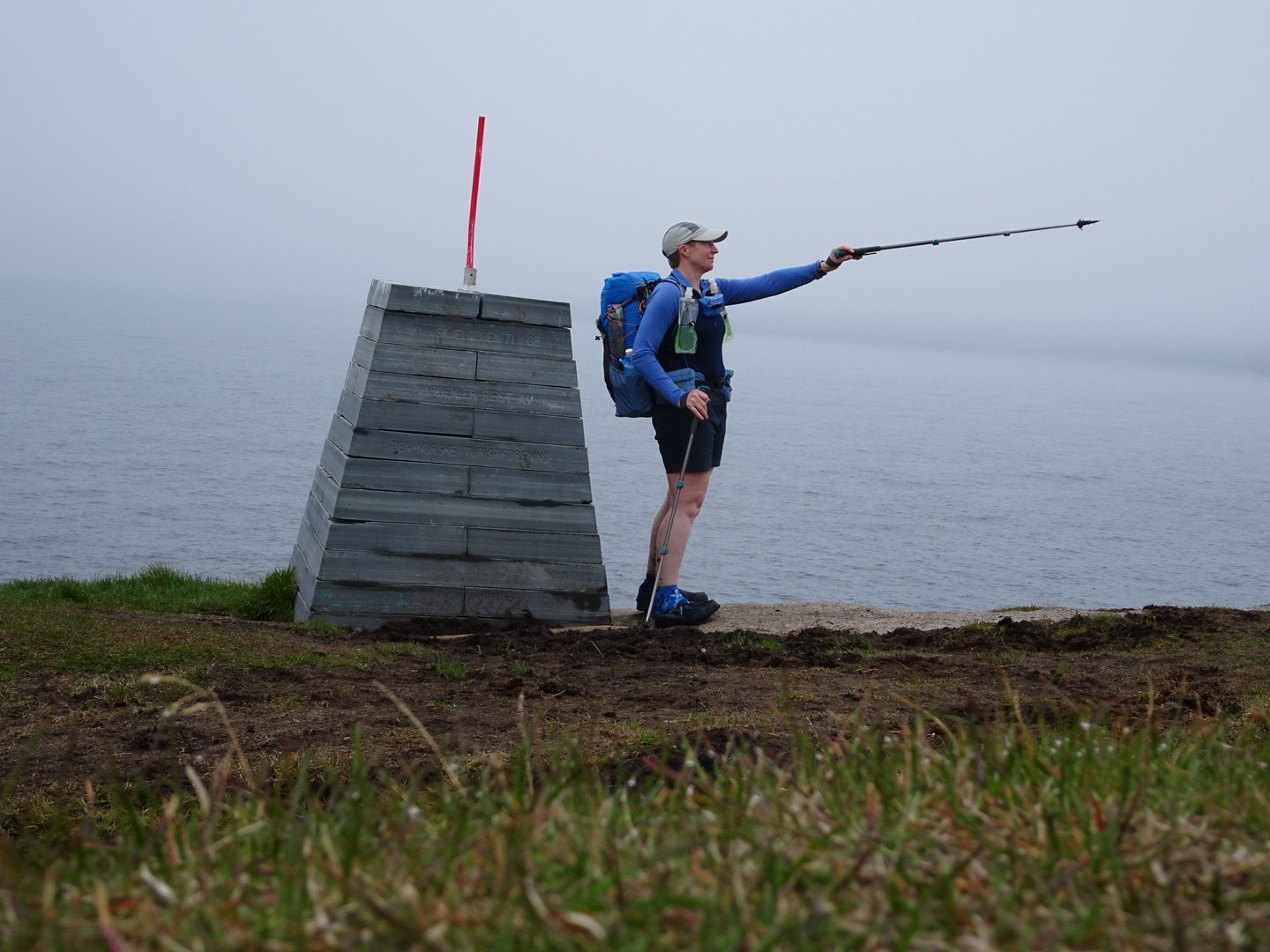
Just up the hill from the marker was a small box with a register to fill in. I noticed a faint trail continuing on so I followed it and it lead to what I think is a shipping light/cell tower.
Heading back towards the marker I saw a great tent site so set up for the night.
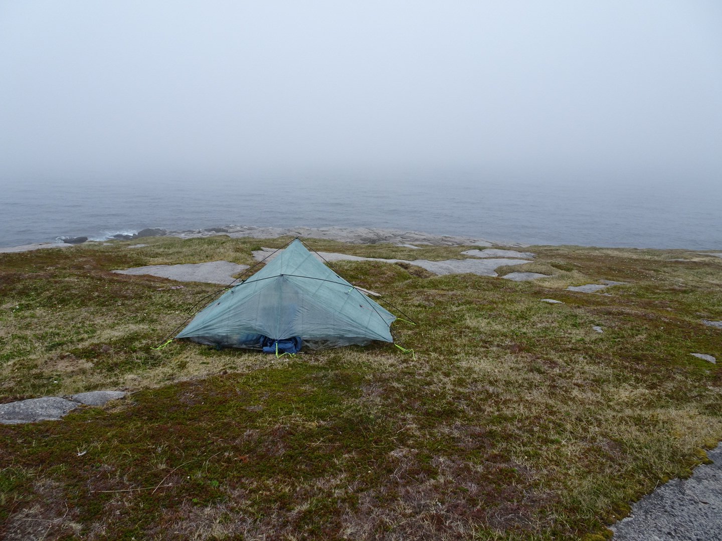
I had just finished dinner (Chicken Tikka Masala) when it started to rain. This lasted for about 20 minutes and was pretty light.
So after walking for the longest that I have done in nearly a year I feel good physically. I though I was starting to get blisters on my instep for the last couple of km but once my feet dried out and unwrinkled there were no marks on one foot and a sight red mark on the other.
Now I will sleep in full daylight with the sounds of waves crashing onto the rocks.
Views: 607