
Day 29 – 18 Jul, 2km south of Altevasshhytta Hut to Track aboove Lake Bekajavri
(36.5 km, total 745 km, 10h 25, 0720 to 1745)
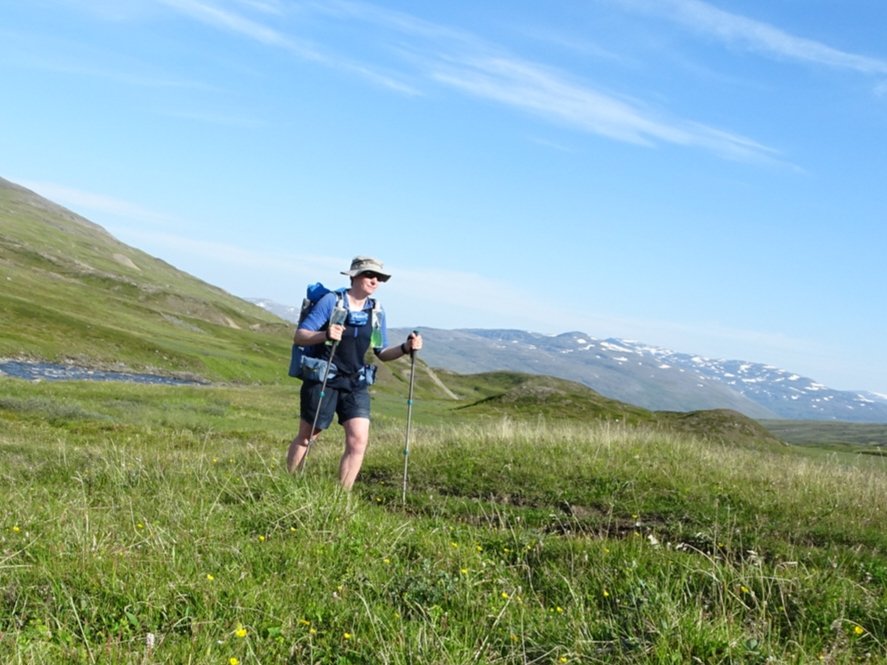
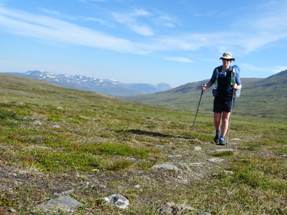
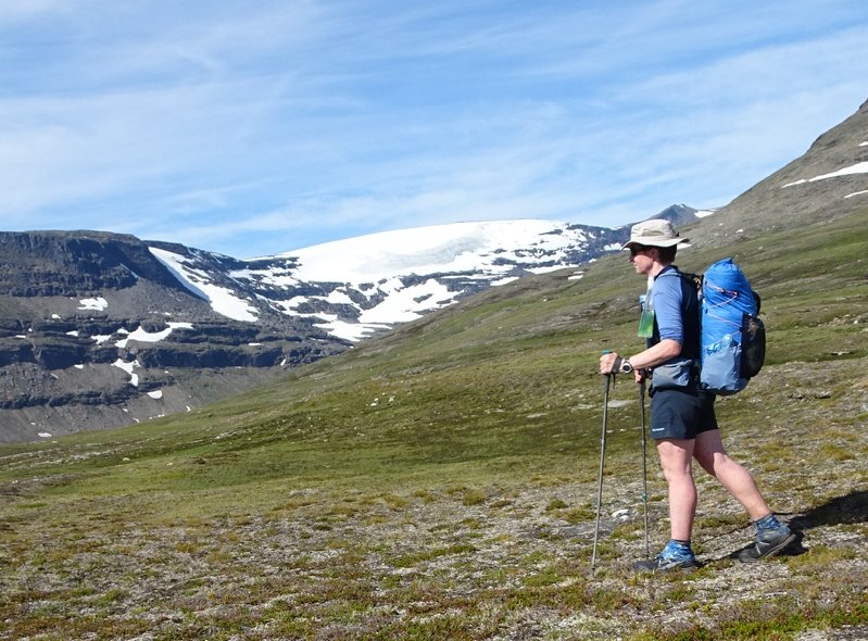
Once again the sun streaming into my tent woke me but I snoozed until my alarm went off. I was quickly packed and headed back to the gravel road and straight into a climb.
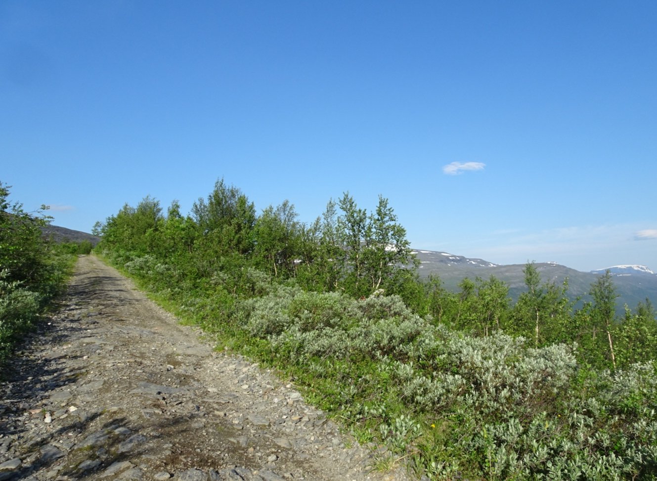
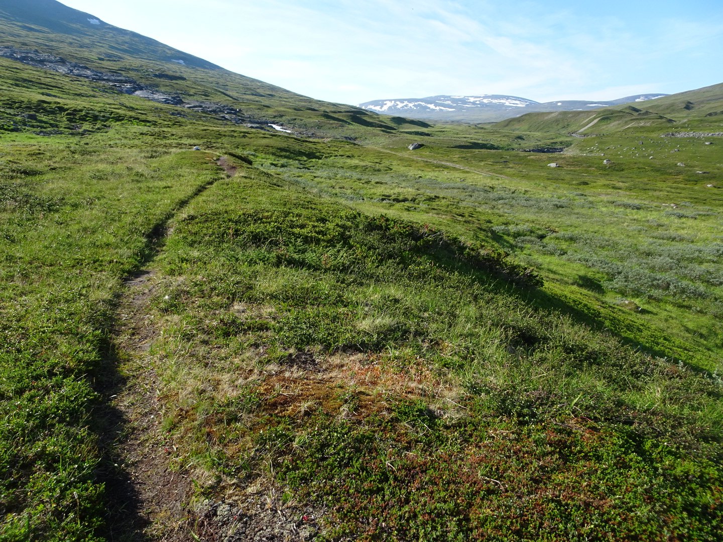
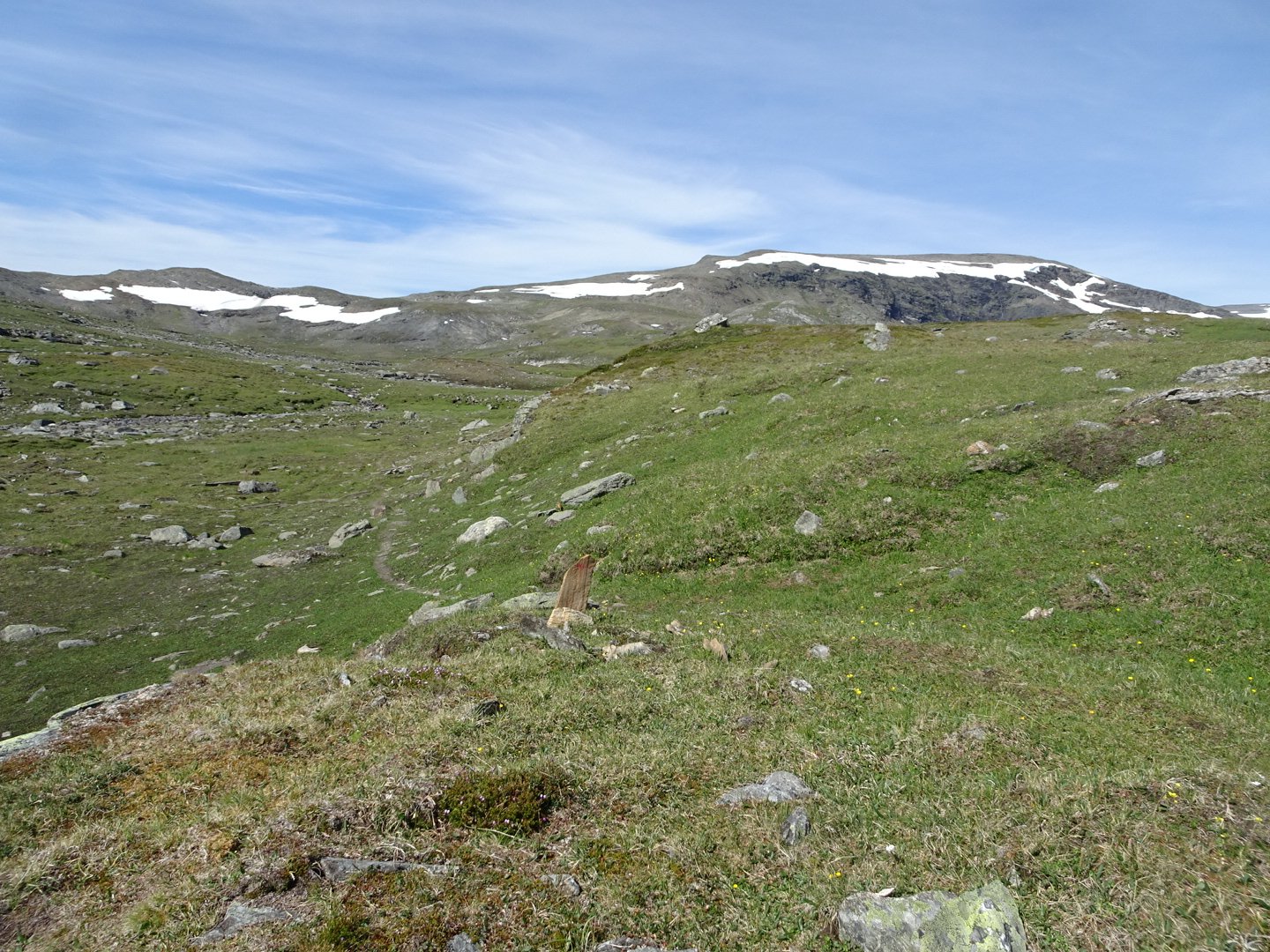
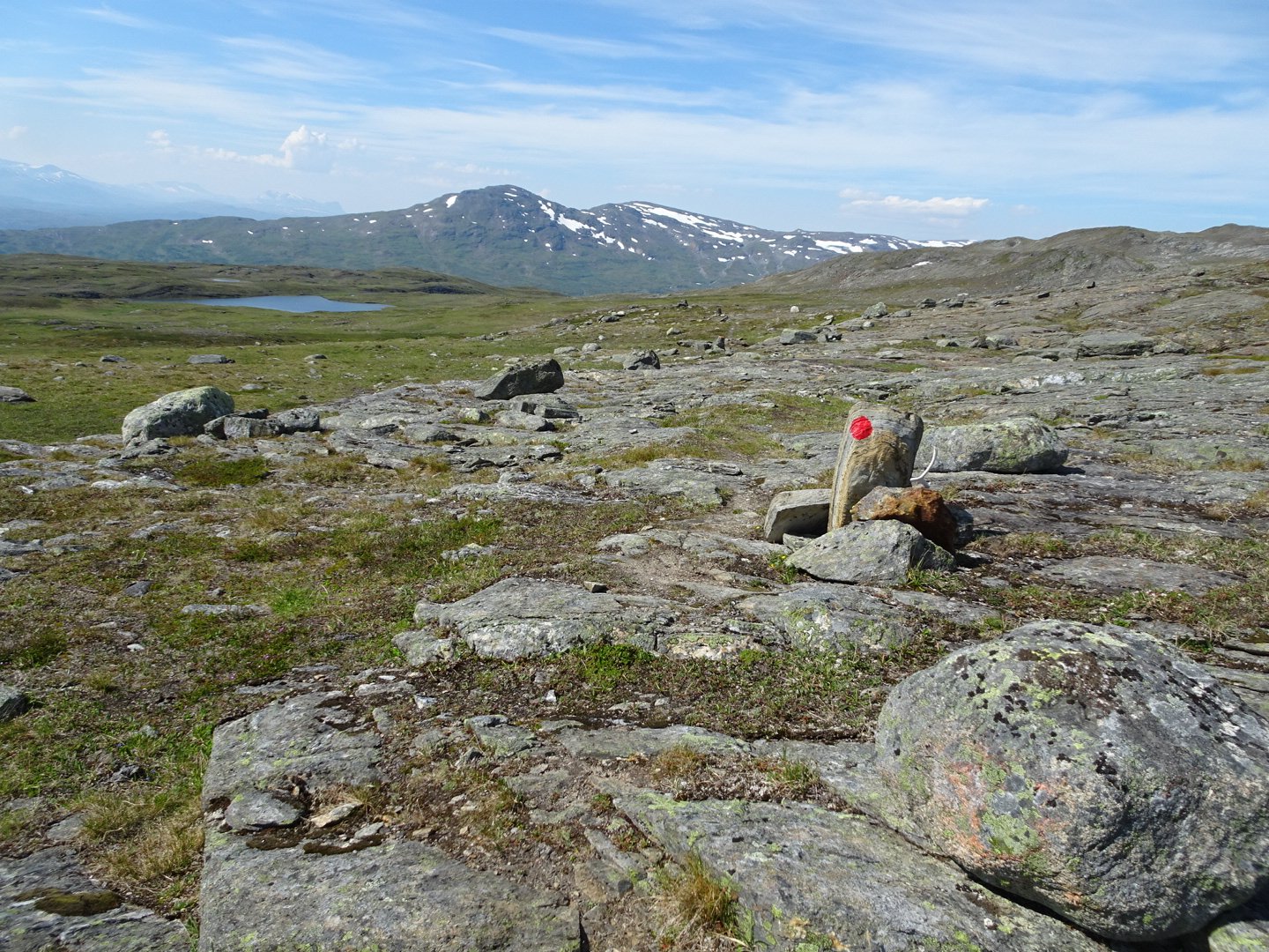
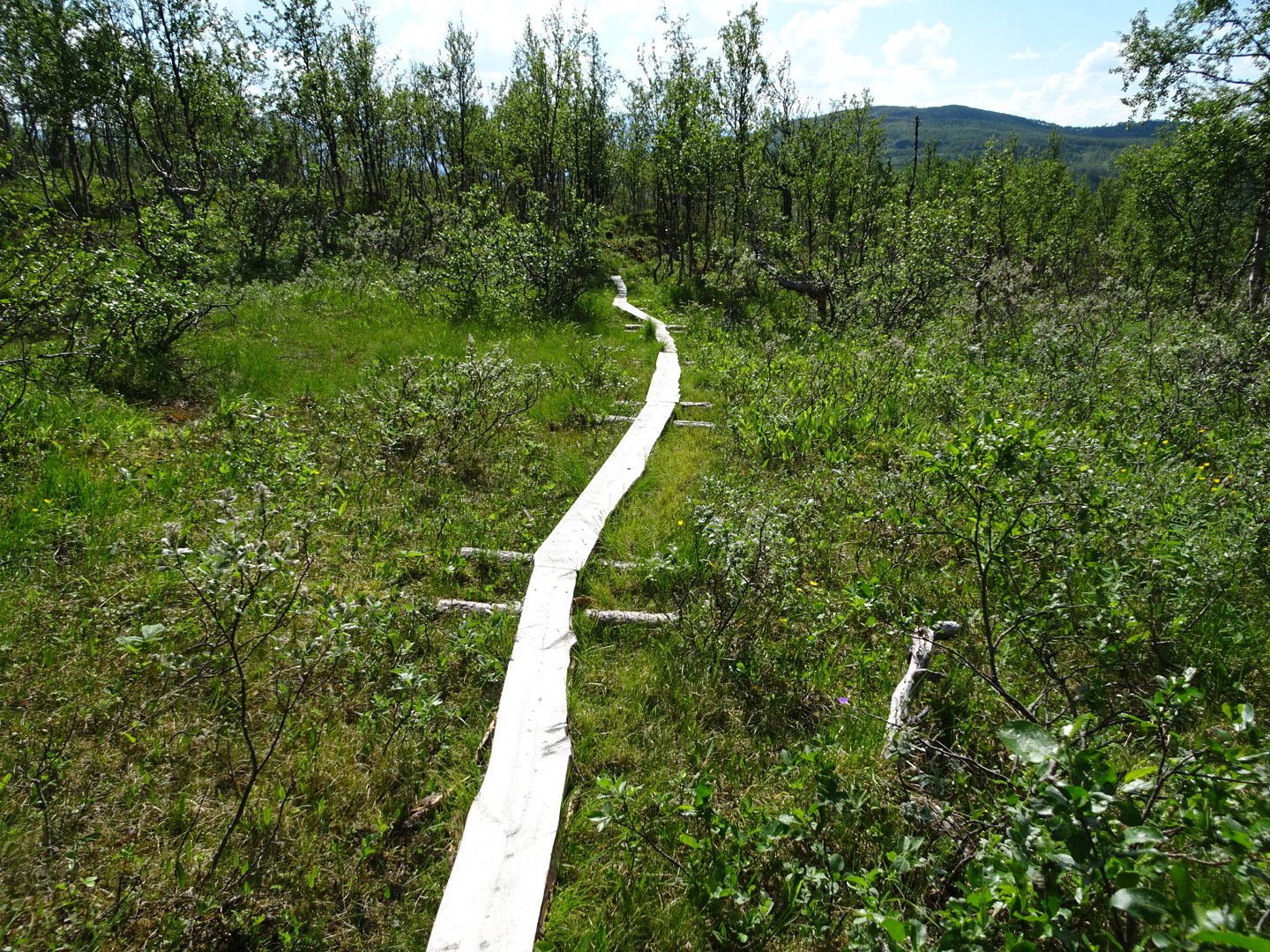
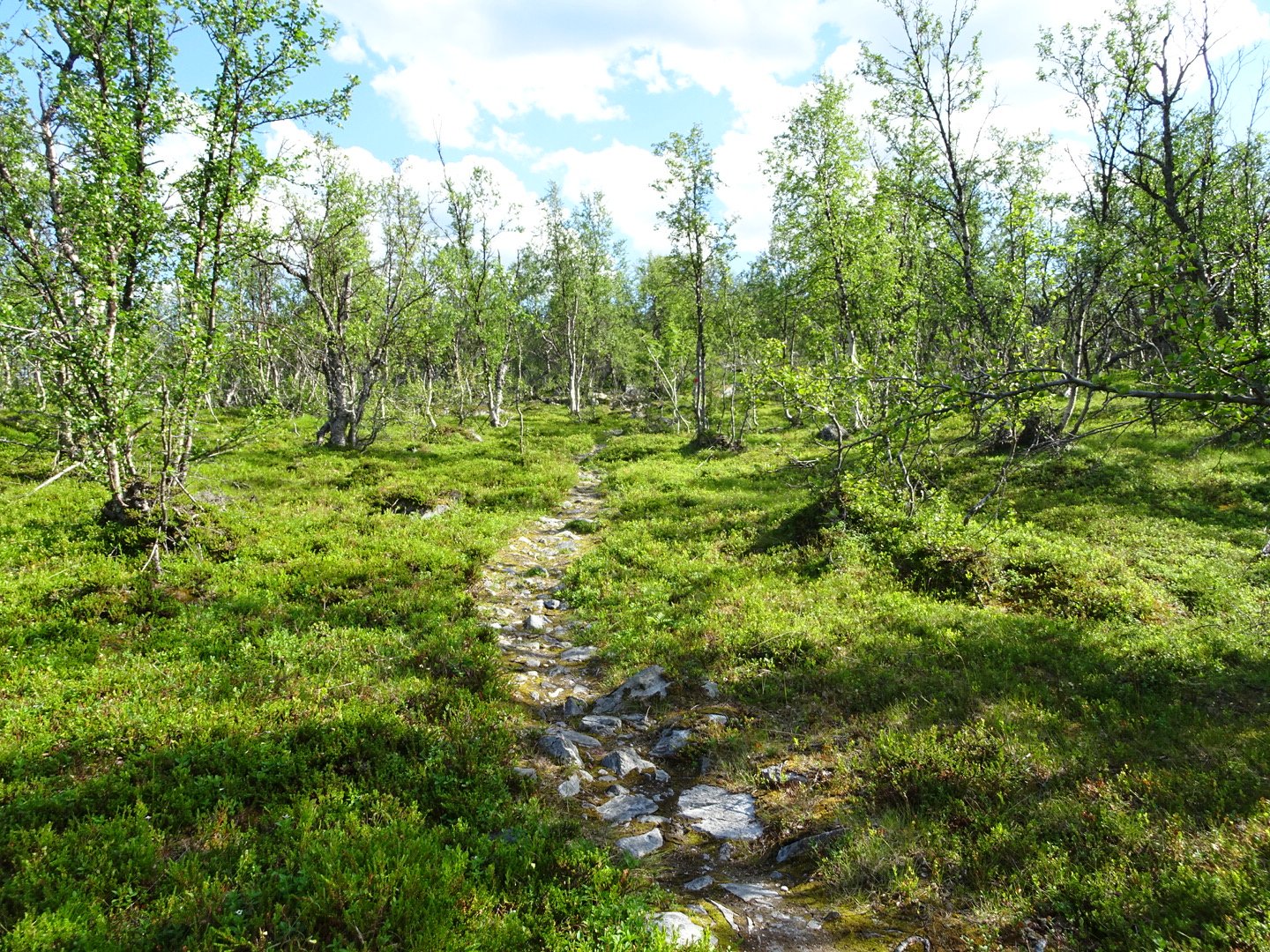
The road turned a corner and from my map I was expecting the vehicle track to stop and a trail to carry on but the vehicle track lost the gravel and got rougher but it looks like I am on a 4WD track for a while. The quad bikes went through last night so the ground was a bit cut up but the track was ok to walk on. I was heading up a valley following a river. Occasionally markers would lead on single track away from the vehicle track, to avoid bogs and hill tops.
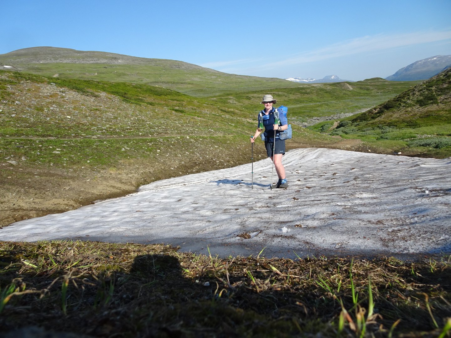
The trail was on the snow so I am not just playing
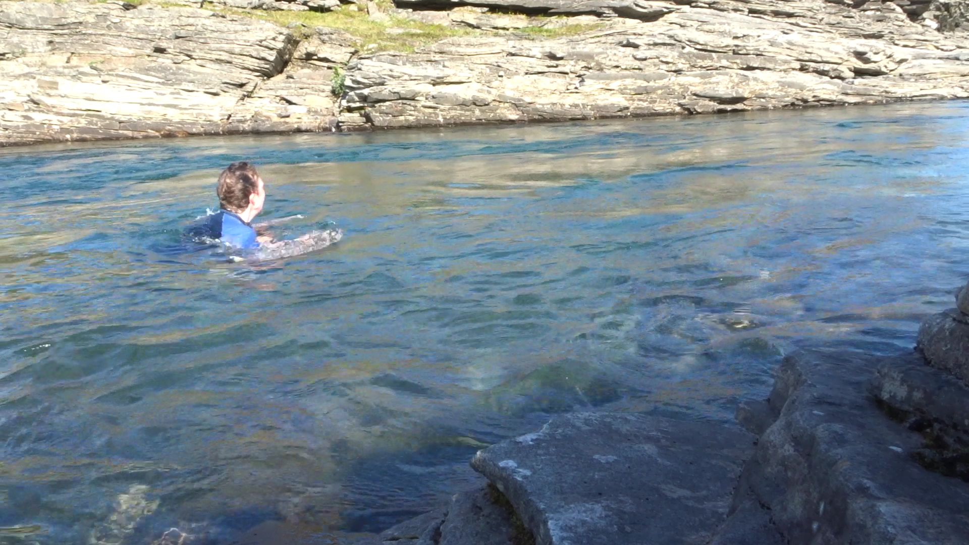
It was really hot and when I spotted the perfect swimming hole in the river I had to take advantage. I took off my shoes and socks but kept everything else in. It was cold but lovely and refreshing and it was nice to get the salt out of my clothes.
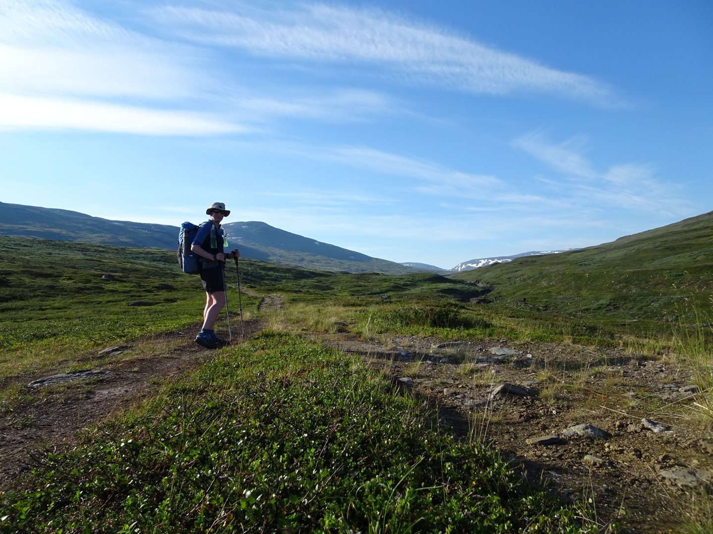
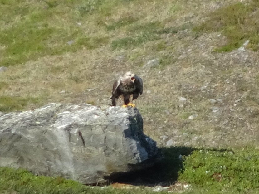
Now refreshed I continued the gradual climb up the valley. I watched some sort of bird of prey soaring above me and later there was another being chased off by a smaller bird. It didn’t seem to care and just ignored the other bird.
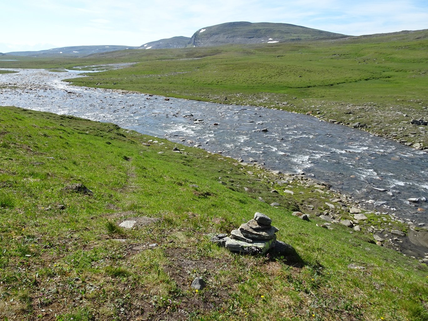
Nearer the top of the valley the trail left the vehicle track. I crossed a river that was too wide to jump rocks across so my feet were wet already. Just over the river was a huge tent and I stopped to talk to a German Couple who were doing a 10 day hike. Their tent was definitely roomy.
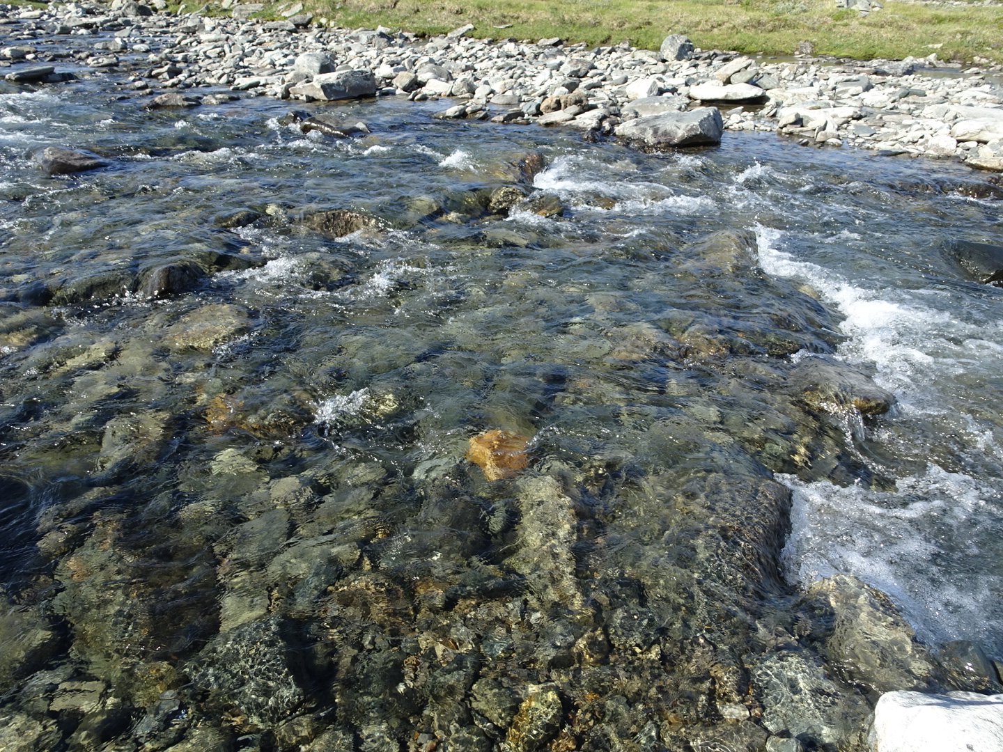
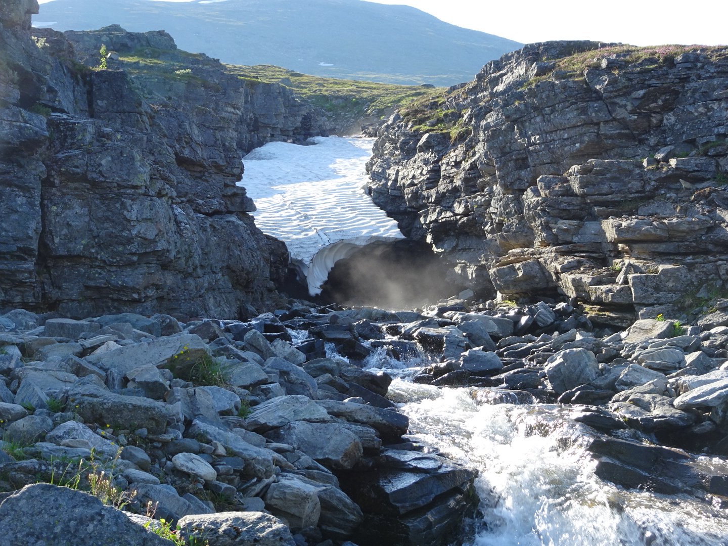
Wet feet crossing
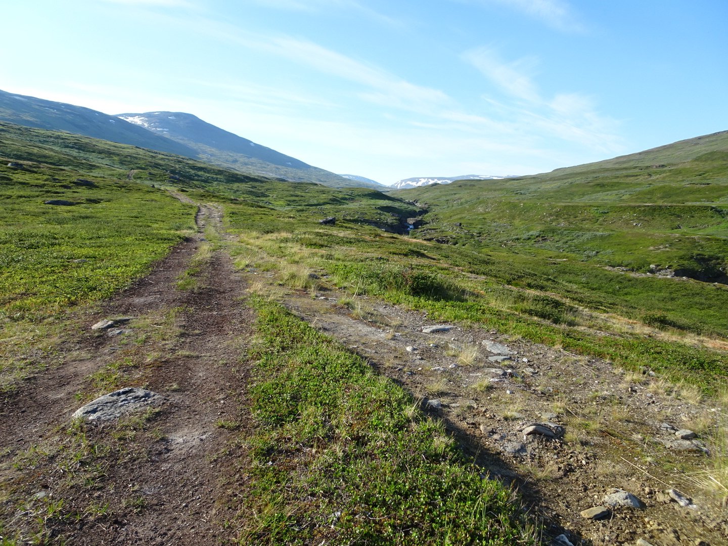
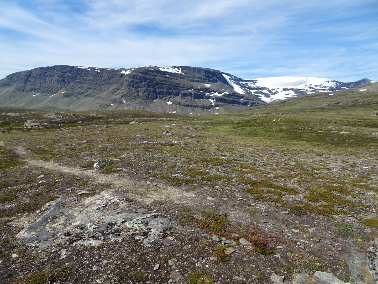
Now the track started getting steeper as the saddle started getting closer. I was happy that while it got a little more rocky it wasn’t the solid rock barrier like yesterday.
There were a whole lot of huts near the top on the left and I guess this is where the quad bikes all went.
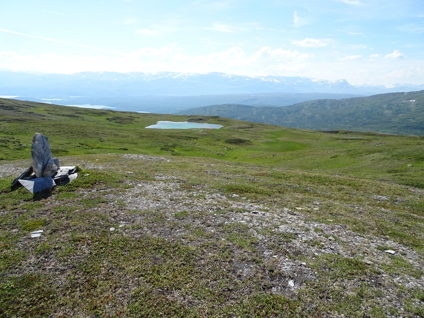
Nearing the top of the saddle on the right were glaciers. I thought it was normal snow but then saw the ice and looked at the map and they were glaciers. They were pretty glistening in the sun.
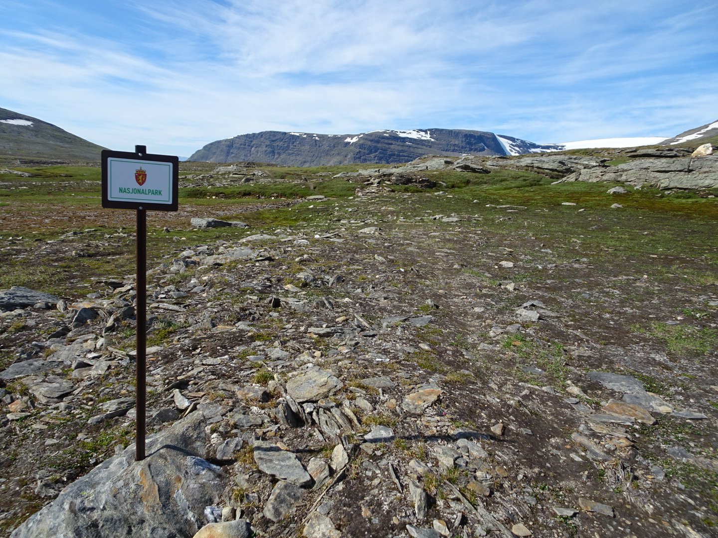
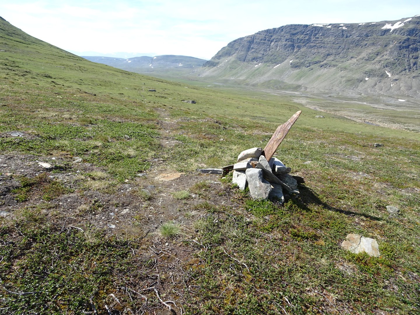
Officially in the National Park
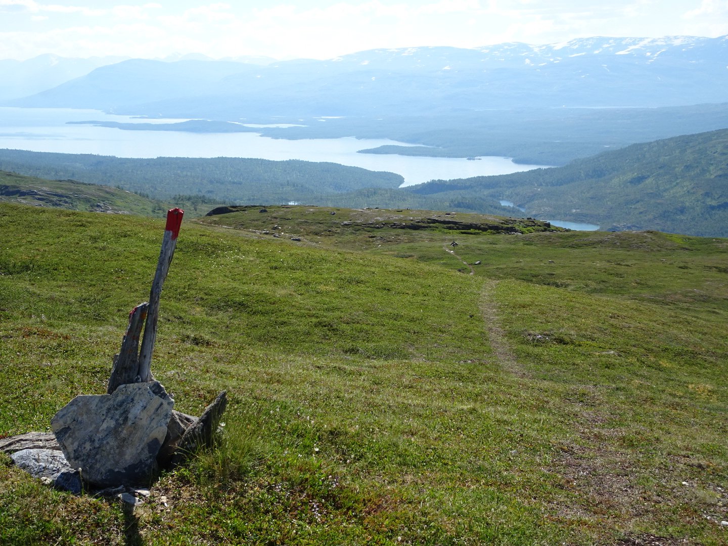
Now there was a lovely descent, not too steep and on track that was not too rocky so I was able to speed down the hill.
At the bottom I saw a large group of hikers in the distance and they seemed to be moving very fast. As I approached them it was 2 teenagers and 2 preteens all with relatively small packs and in trail runners, and an older man in bots, but still with smaller packs. They were going hut to hut which accounted for reduced packs but still the first lightweight hikers I have seen, and their speed reflected this.
After a slight uphill the track dropped to cross two large rivers and then another climb up to a saddle.
From there it was a lovely downhill. I approached two older ladies who were in just their bras and trousers and they scrambled to put tops on as I approached. I called out “Hei Hei” earlier than normal to try and relax them that it was a female approaching. They were doing an 8 day trip, going from hut to hut.
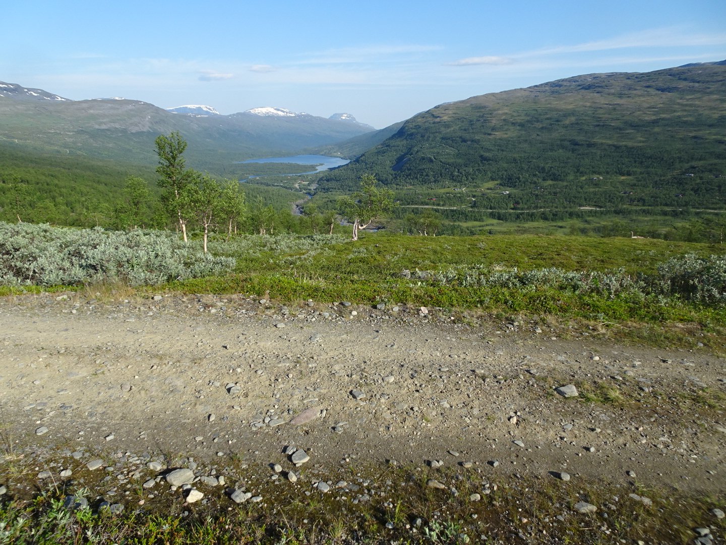
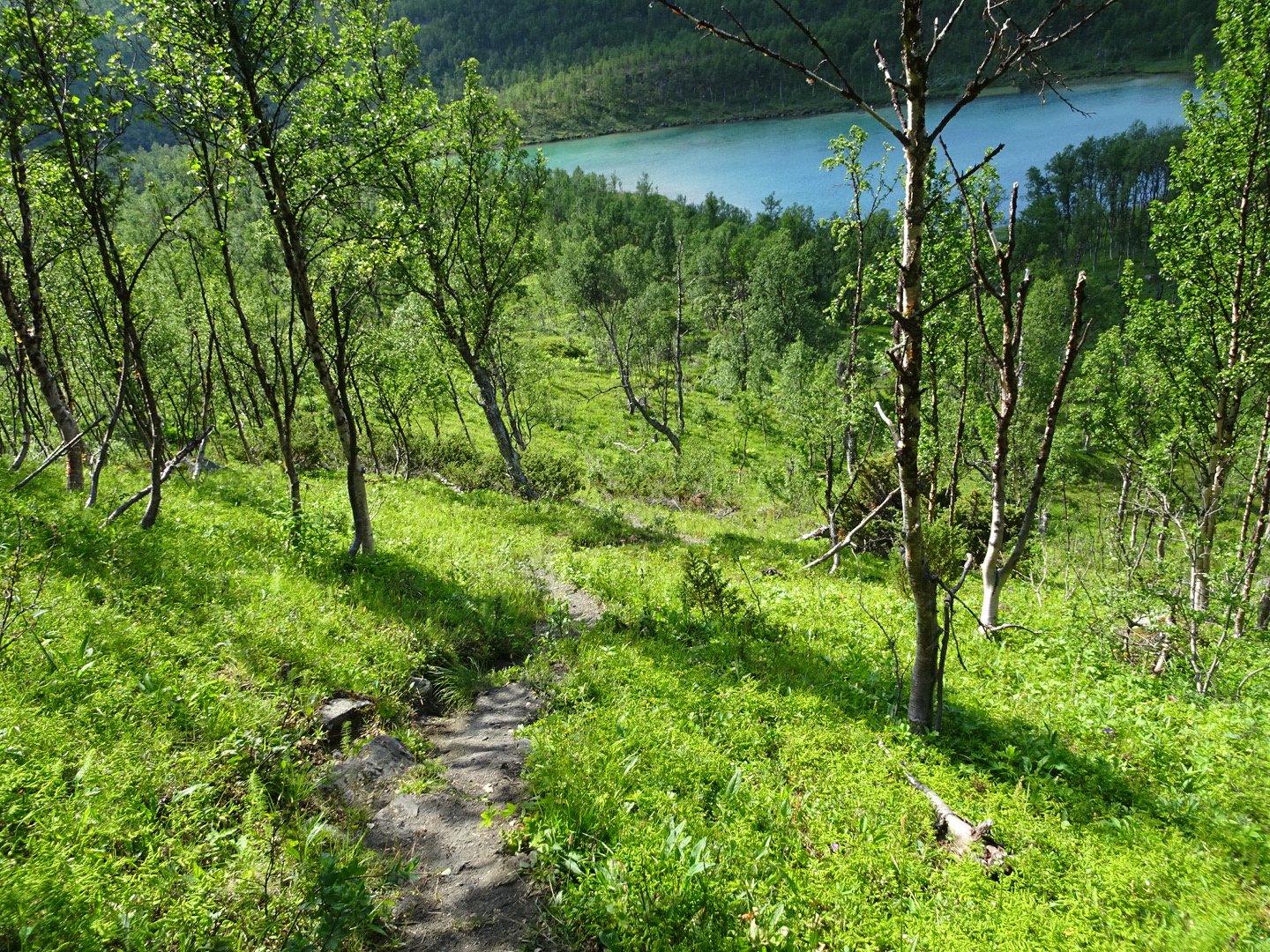
Now it was solid downhill, however I took it easy as my knees started to ache when I went too fast downhill. Once over the crest of the hill the views blew me away. The trail dropped steeply past some small lakes before entering the forest There was a large lake at the base of the hills and a chain of snow capped mountains visible behind the lake.
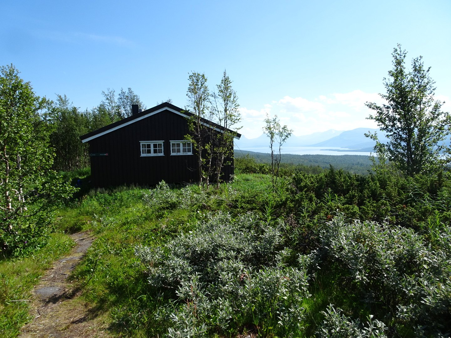
I dropped quickly and reached Lappjrdhytta Hut where I had lunch. In NZ I prefer to have lunch away from huts but here it is nice to have relief from the insects and the heat.
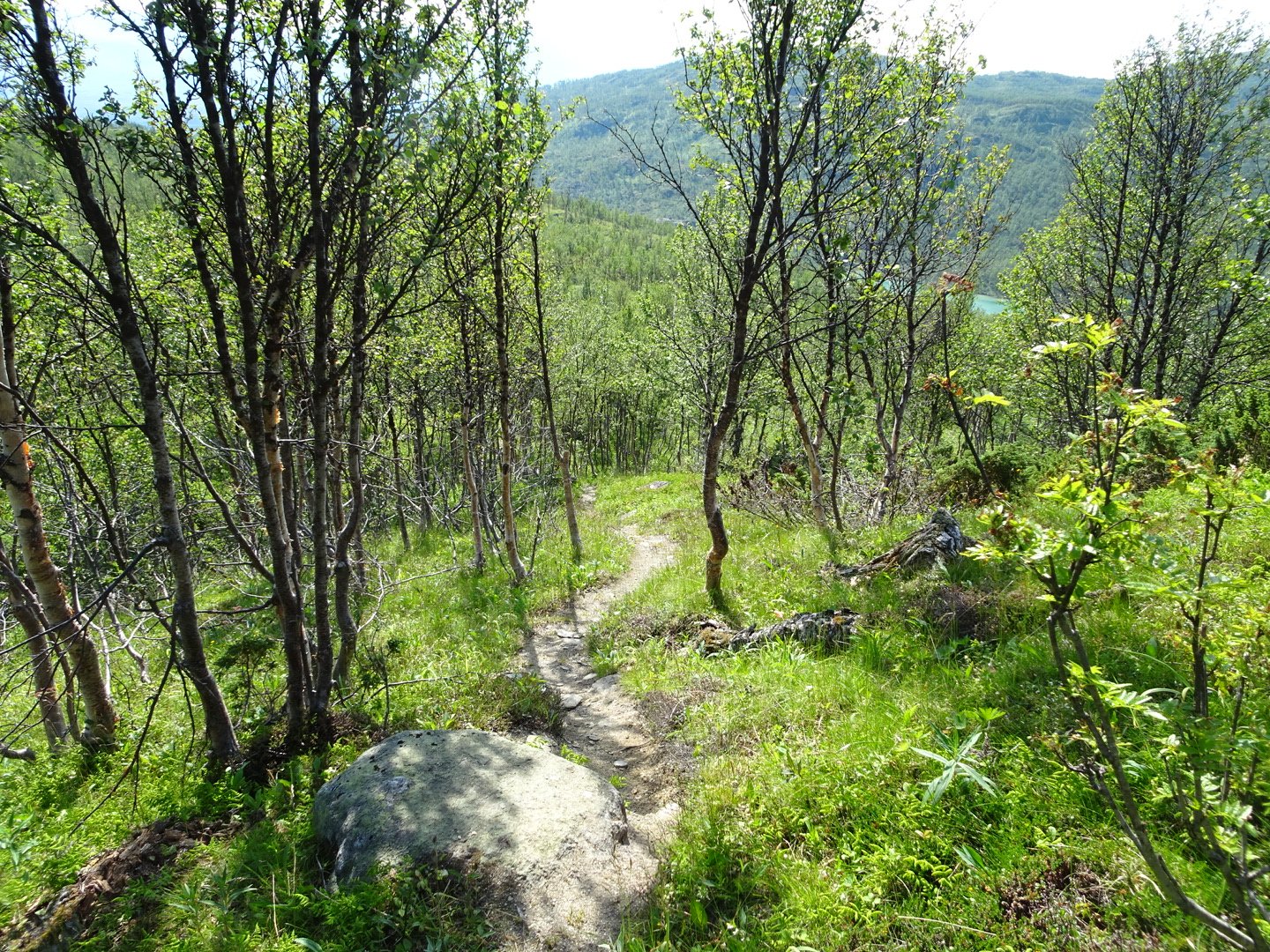
After lunch I continued dropping steeply through the trees, through areindeer fence gatte that I thought was the boarder until going between two lakes and seeing the proper boarder marker. It is interesting that the Norwegian and Swedish track signs had different distances to the next hut and the road.
Then there was a bit of up and down to reach the Swedish hut Palnostugan.
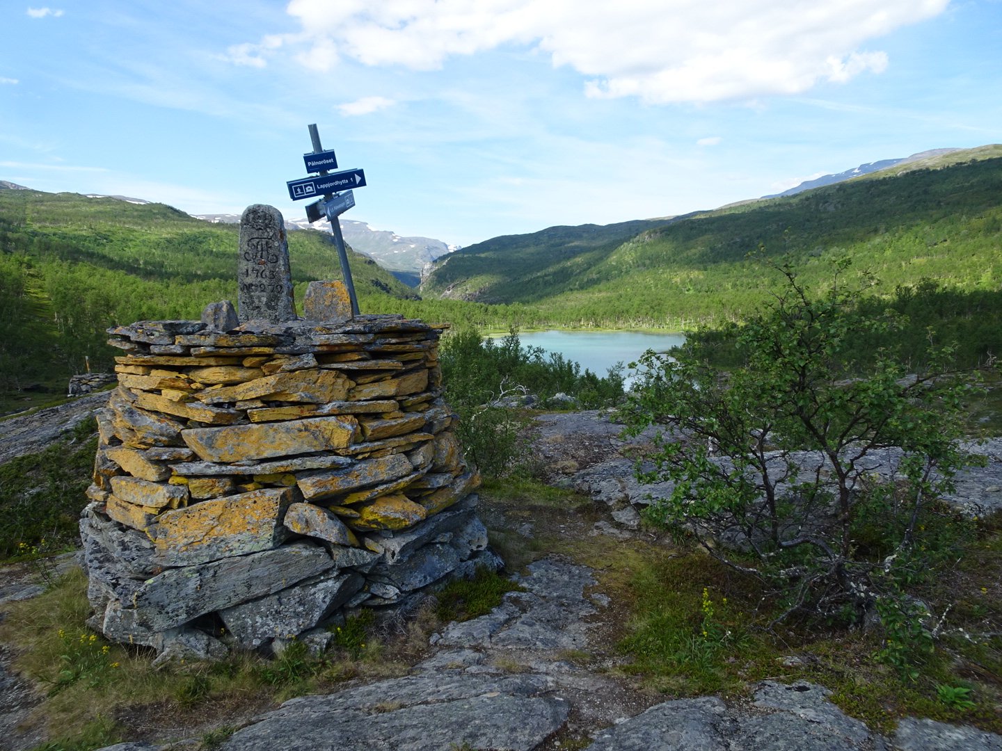
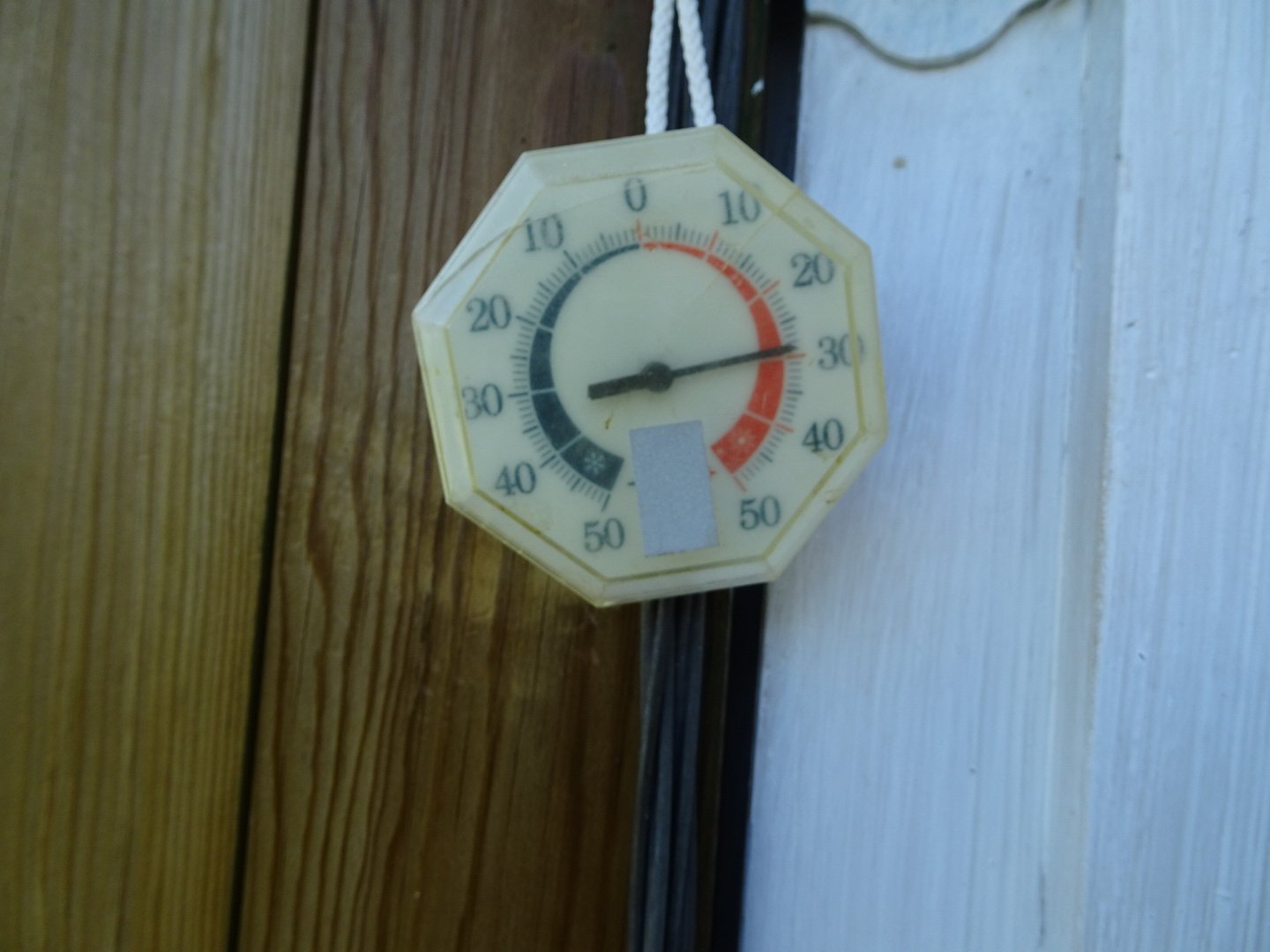
The border
I did not go in but did look at the temperature gauge that was in the shaded doorway and saying 29 degrees. No wonder I was hot.
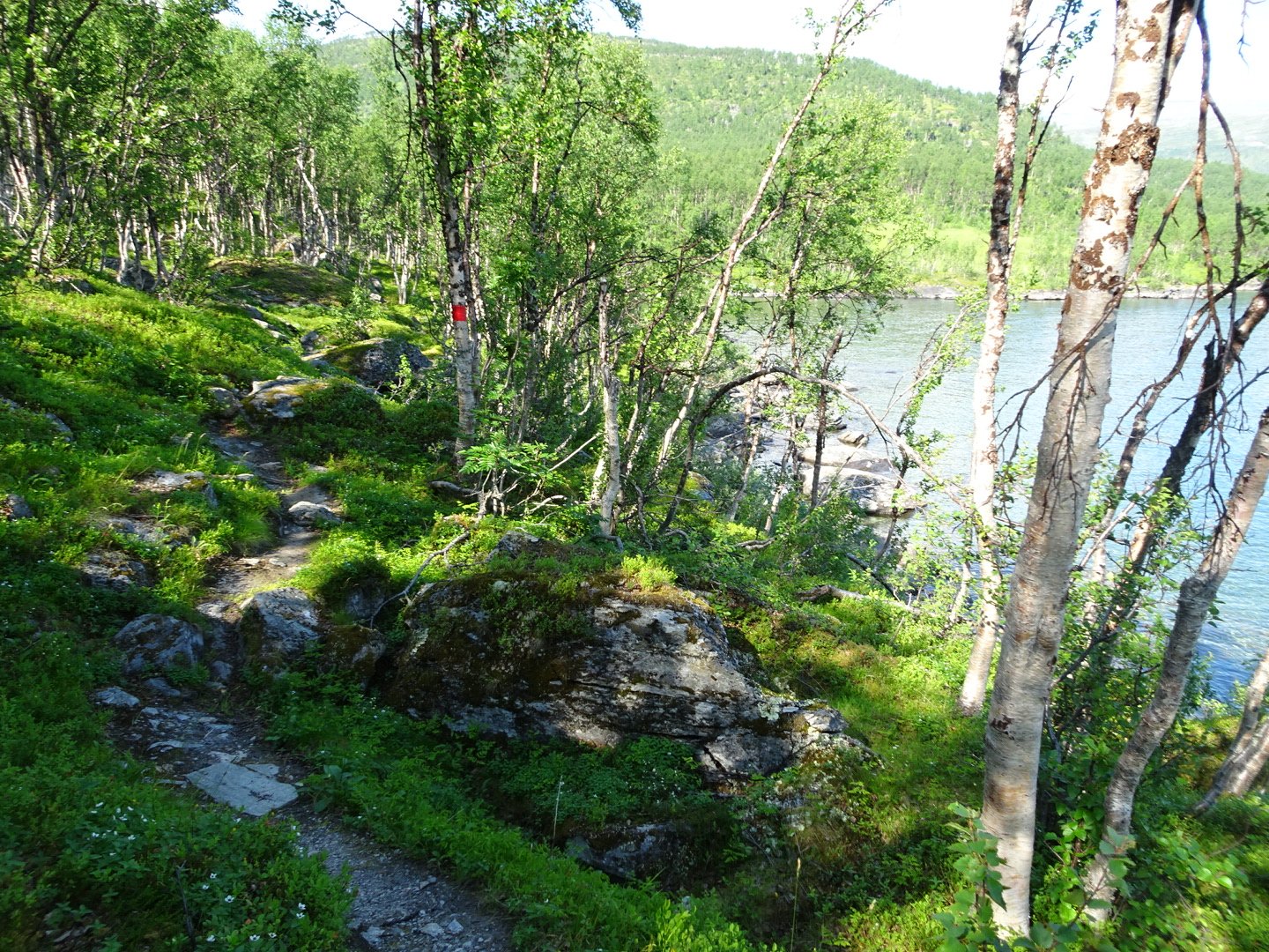
I expected the next bit of the trail to be easy and fast as it looked flat on the map and was close to the main road. I was wrong. The track followed the lake edge on a narrow rocky trail going up and down and then dropping right to the lake. I filtered some water and drank as much as I could, something I would come to appreciate later.
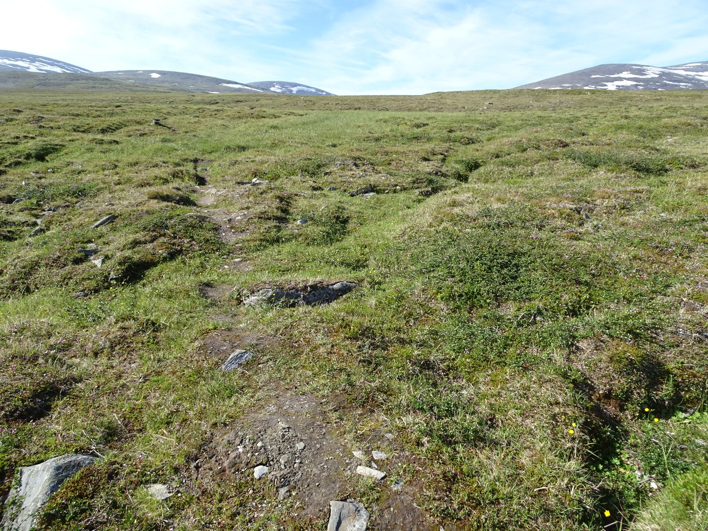
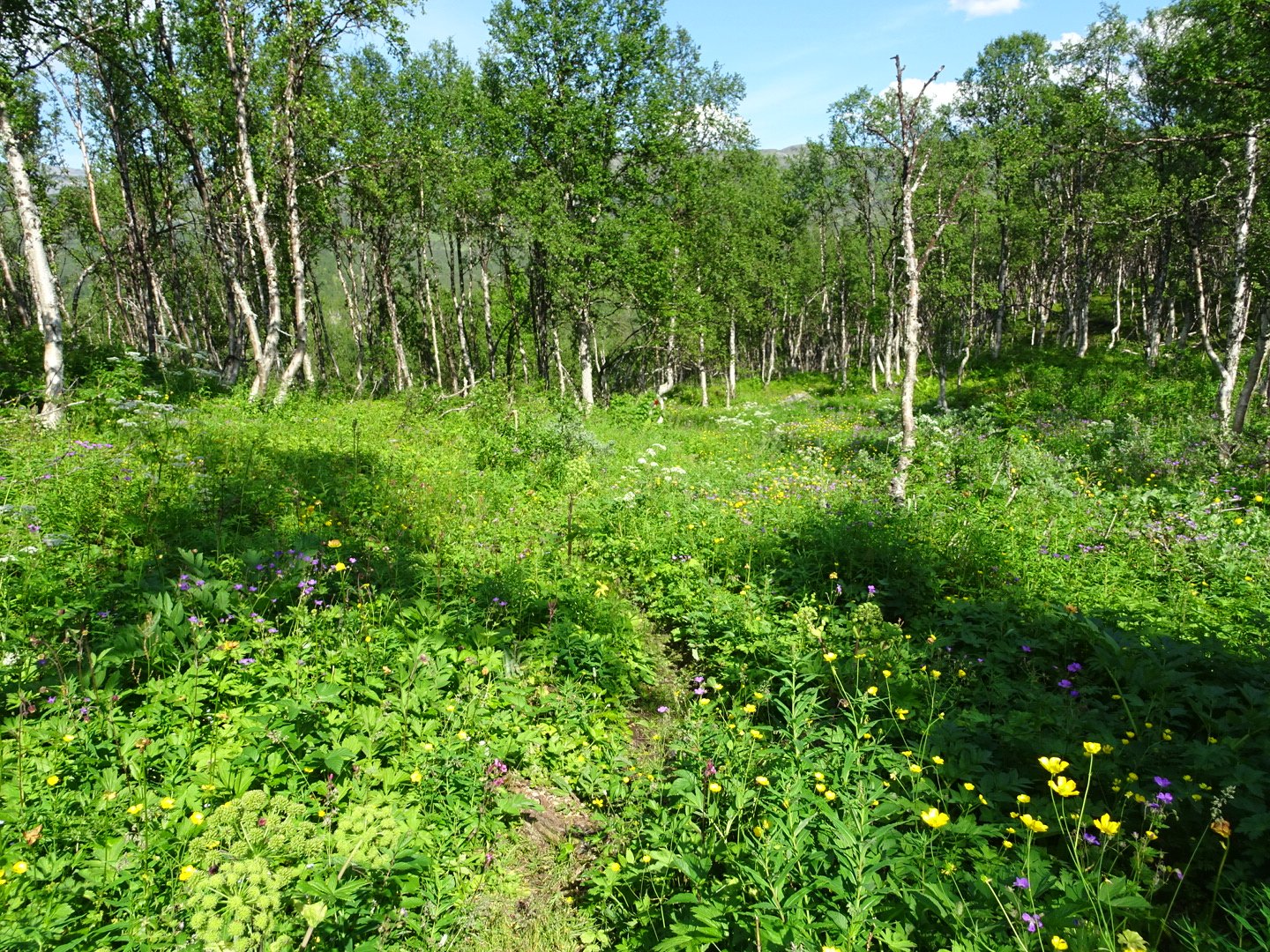
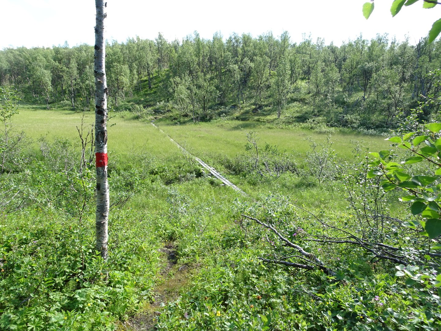
The track left the lake edge and I thought now it will be smoother but no. It seemed like the track makers looked for every hill they could find and put the track straight up to the top of it, even changing direction to find a new hill. There was a brief period where the track was in nice condition but the bulk of it was really rocky. The summary is; climb hill, descend hill and cross swamp on boardwalk then climb hill and repeat, sometimes having a couple of hills to climb.
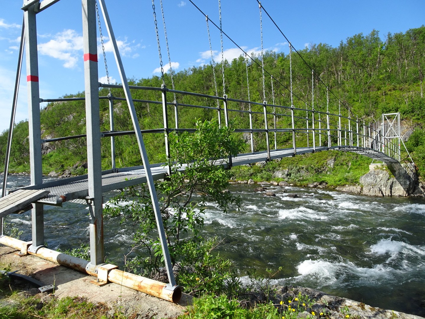
I was really feeling the heat and the trees were annoyingly blocking the wind but not providing any shade. I went through my water very quickly and there were no more water sources apart from one stagnant looking lake. For excitement there was one bridge over a fast river.
From being an easy quick walk to the road turned into a difficult walk. I was going slowly and did not expect to reach the end until 1800 so was surprised when I started hearing traffic noises and reached the road at 1700. I crossed the road straight onto the next track and only a couple of minutes later there was a young Norwegian girl having lunch beside a stream. I wanted to be polite but was so thirsty so after only brief conversation I got water from the stream to filter and our conversation was interrupted by me getting more water. I filled up my two water bottles on my pack and another 1.7 litres for camping, as well as having a lot of water there.
The girl has been hiking one month and has another month to go. She said she walks very slowly because of her heavy pack. She is also having a rest day in Narvick but will be catching the late train and I will ry catch the midday train.
She had a larger version of the map so I could see clearly the trail ahead and I am glad I did as I may have turned the wrong way without it. I carried on and followed the trail until it reached a bridge then before the bridge turned right which took me to the road. There were no signs at the intersection.
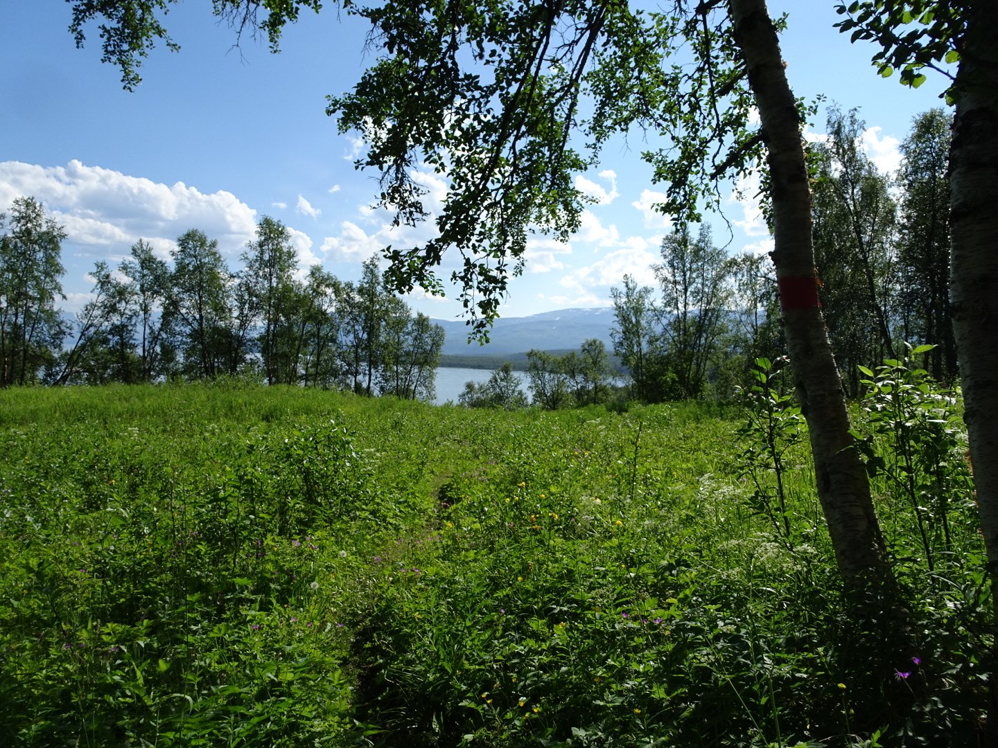
On the main road I walked across a bridge then another 800m, past a parking area full of campervans. There was a gravel road, not marked on my map. on the left and 20 meters up this road I spotted some stairs. I climbed them and there was a small sign for Riksgransen. This was the trail for the next 20 km.
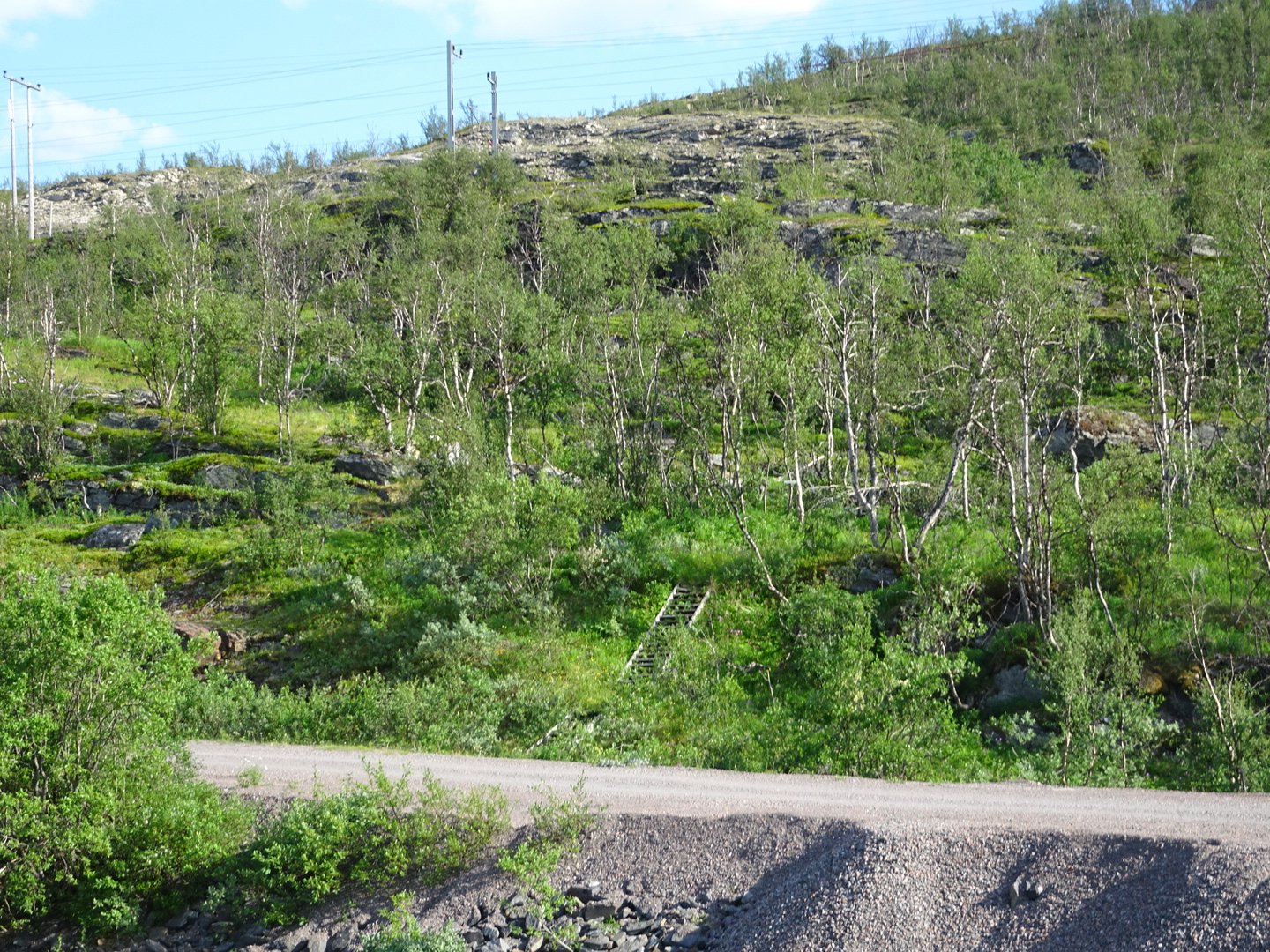
You can just make out the stairs going up from the gravel road, this is the start of the track.
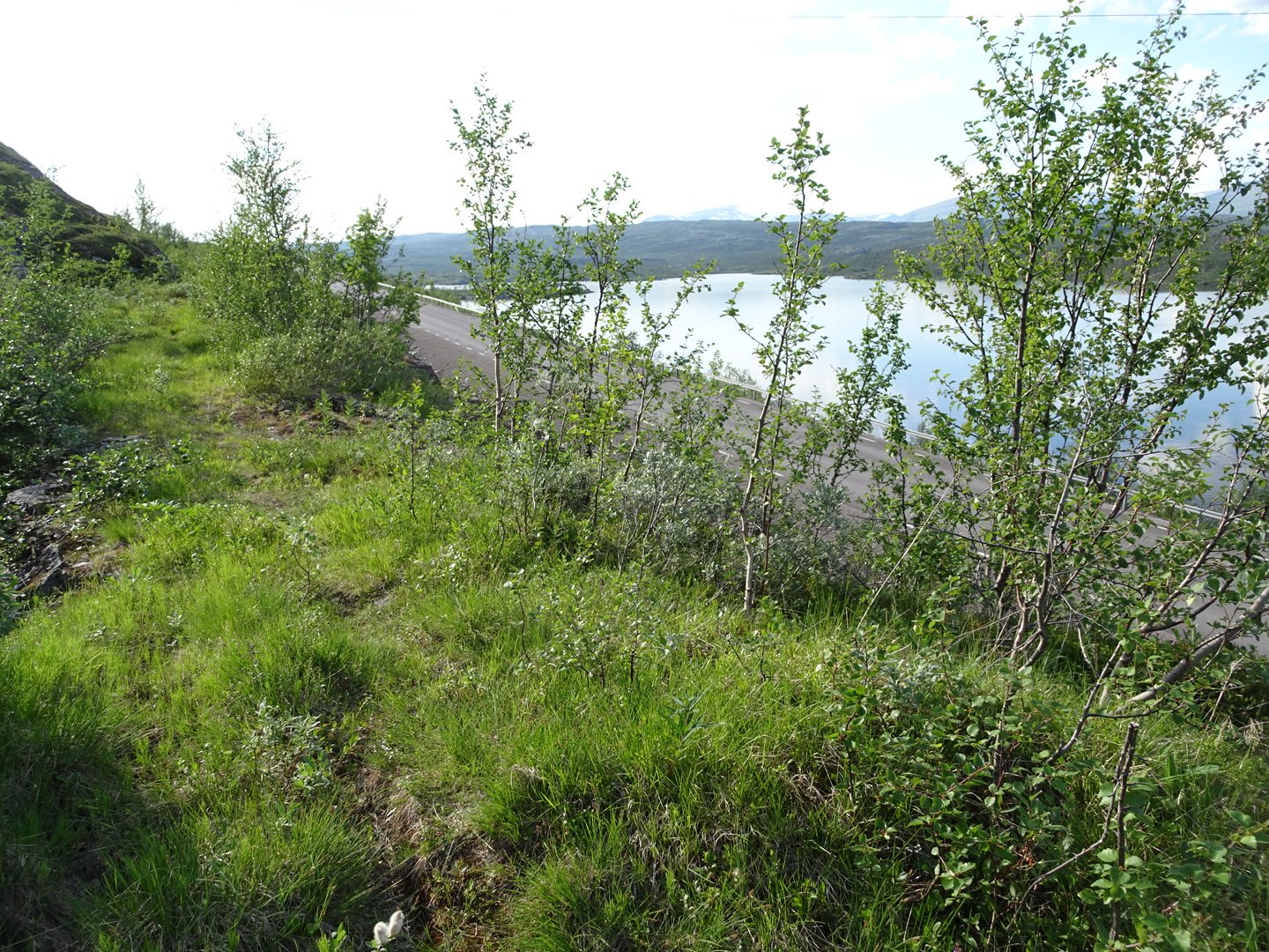
It was an old railway access road, now overgrown and lovely walking. Just as the trail headed uphill I found a nice campsite with some trees providing shade and settled in for the evening.
The girl walked past probably 30 minutes later and she wanted to get closer to Riksgransen as she was worried about missing the train.
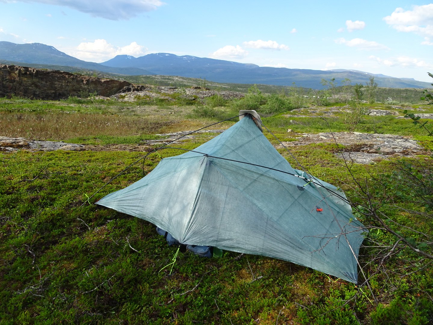
It wasn’t the quietest spot with cars to my front and train behind me but it was hidden from the traffic and I looked out my door at mountains so I was happy.
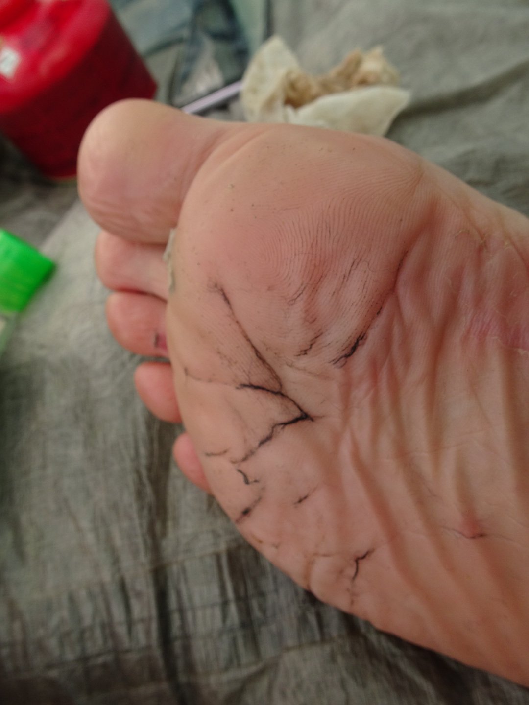
Wet feet and socks at the end of their life mean the wool gets stuck in the wrinkles and needs some force to clean them out.
At 2200 I heard a rumble of thunder in the mountains behind me, though there was still blue sky. Then the thunder got closer and the sky quickly turned dark grey. Lightening started and the really long rolls of loud thunder sounded like they were heading my way. As the wind started to pick up I went outside and found large rocks to reinforce my tent and closed the doors which were open because of the heat. The wind continued to rise but I was well sheltered by the trees I camped by thinking more of shade than wind. There were a few scatters of rain on my tent and then the thunder started moving off again and 10 minutes later it was blue sky again. There was a lot of build up for a massive storm and then nothing.
Views: 347