
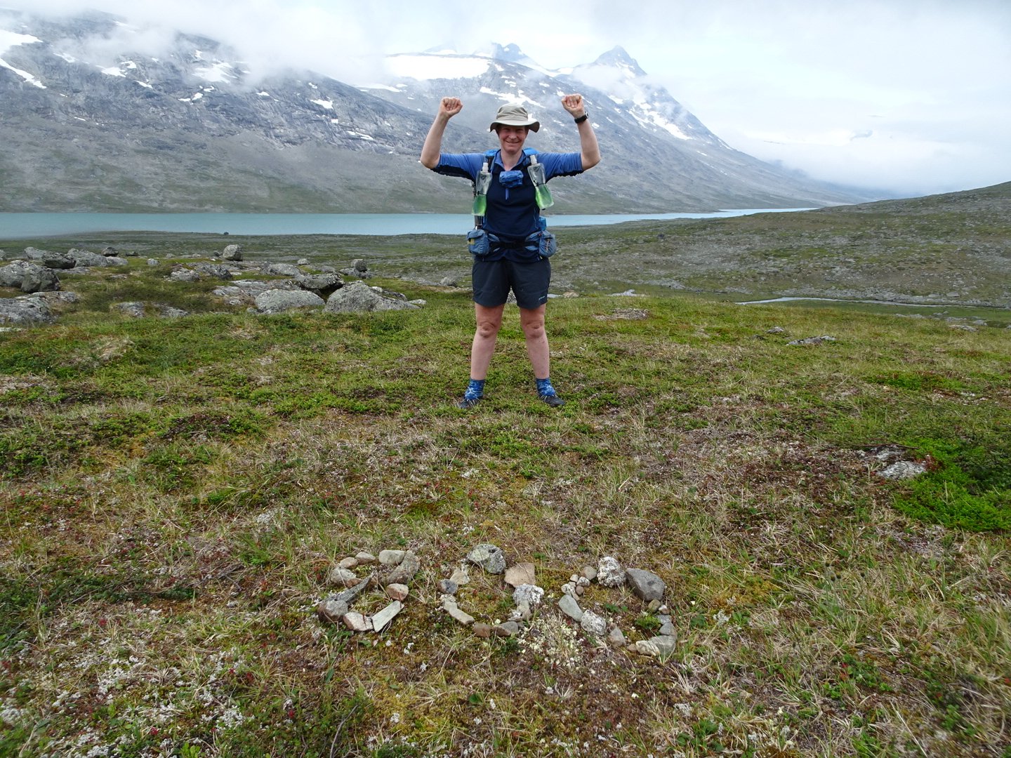
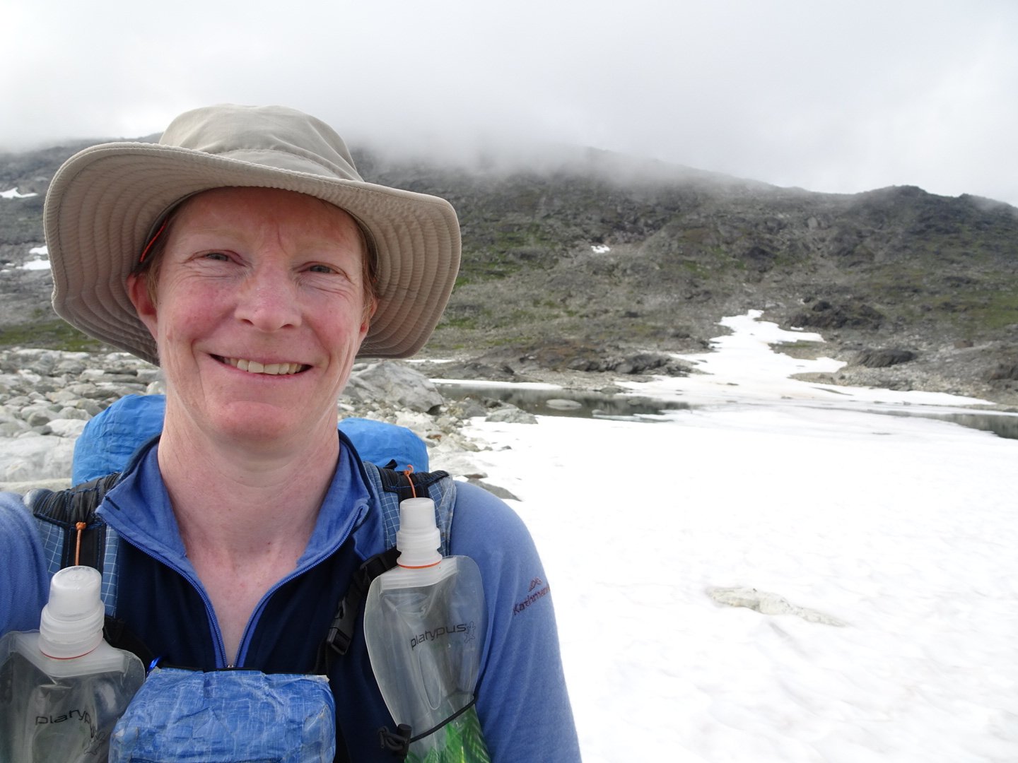
Day 33 – 22 Jul, Oallajohka to N of Gautelisvatnet Lake
(36.5 km, total 827.5 km, 12h 5m, 0740 to 1945)
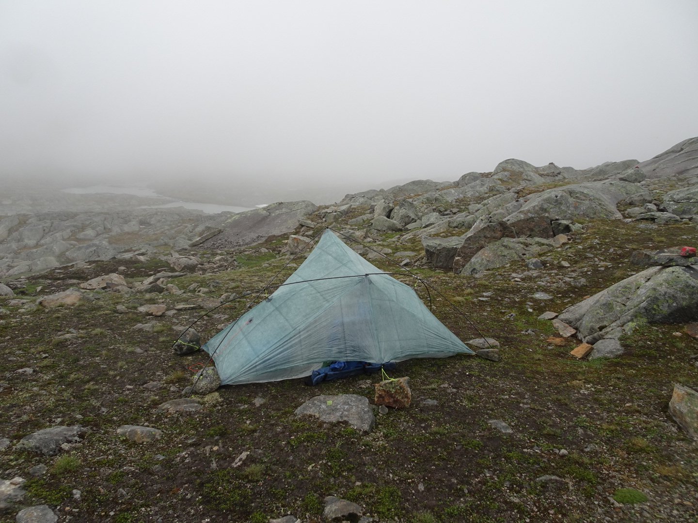
I slept well, probably the best sleep in my tent so far. I had left one of my tent flaps open and when I woke up I looked outside and saw white. There was a heavy mist with visibility at around 20 meters. I had water droplets on the insect mesh at the back of my tent and I think the mist had come through the front and stopped at the first barrier. Some went through the mesh and the back peak was soaked, as well as my pack. Lesson learned, close the doors when at altitude (around 850 masl).
I tried my porridge I had soaked during the night and it was edible mainly because of the cranberries I put in but not what I would call nice. Also the water had not got through to the bottom so it was still dry. I think I will have to try it with hot water.
I dried my tent with a cloth before taking it down. My tent footprint was also quite wet.
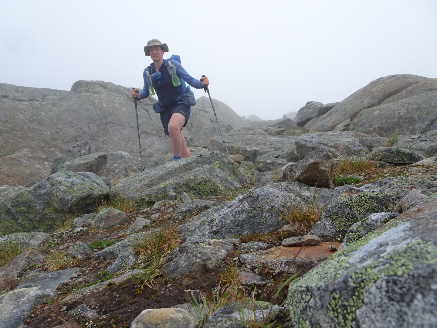
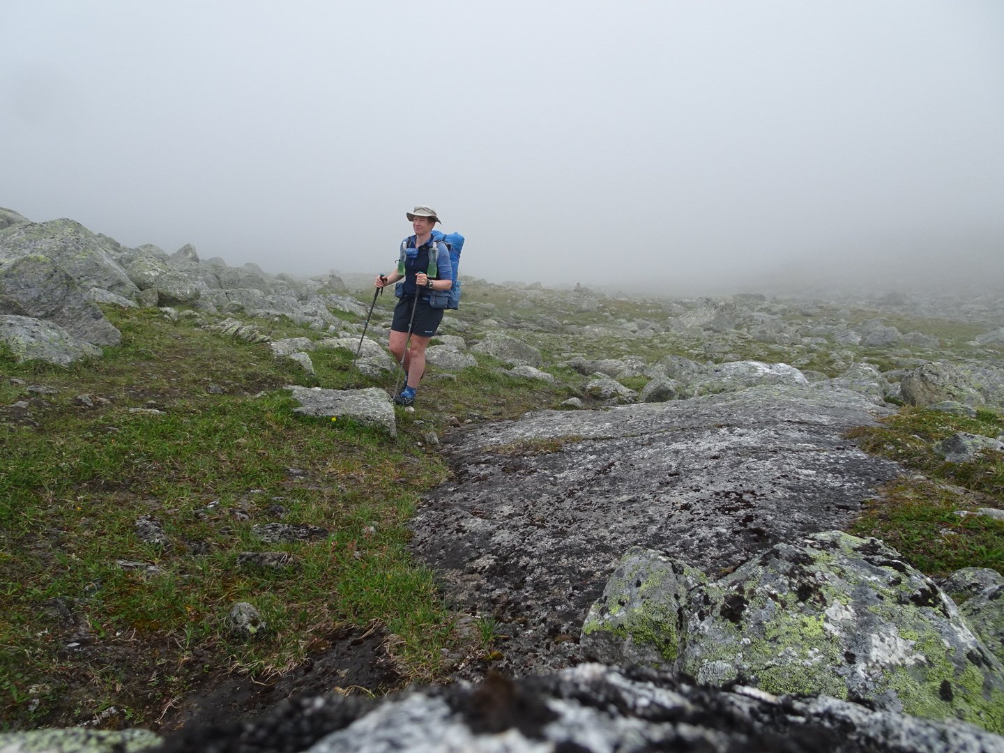
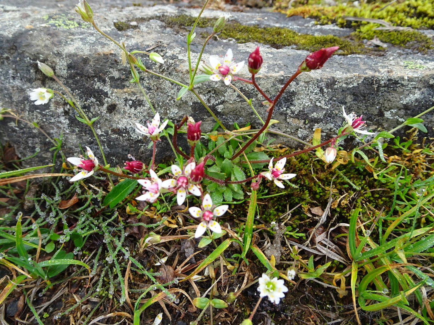
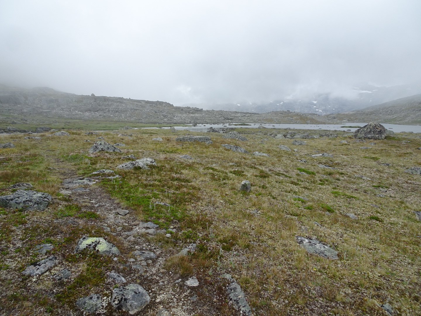
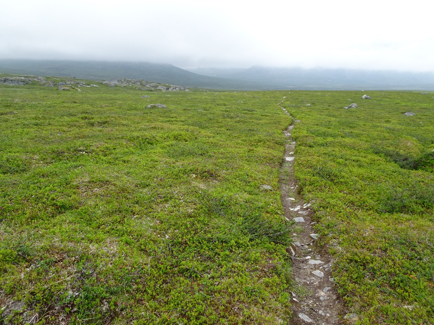
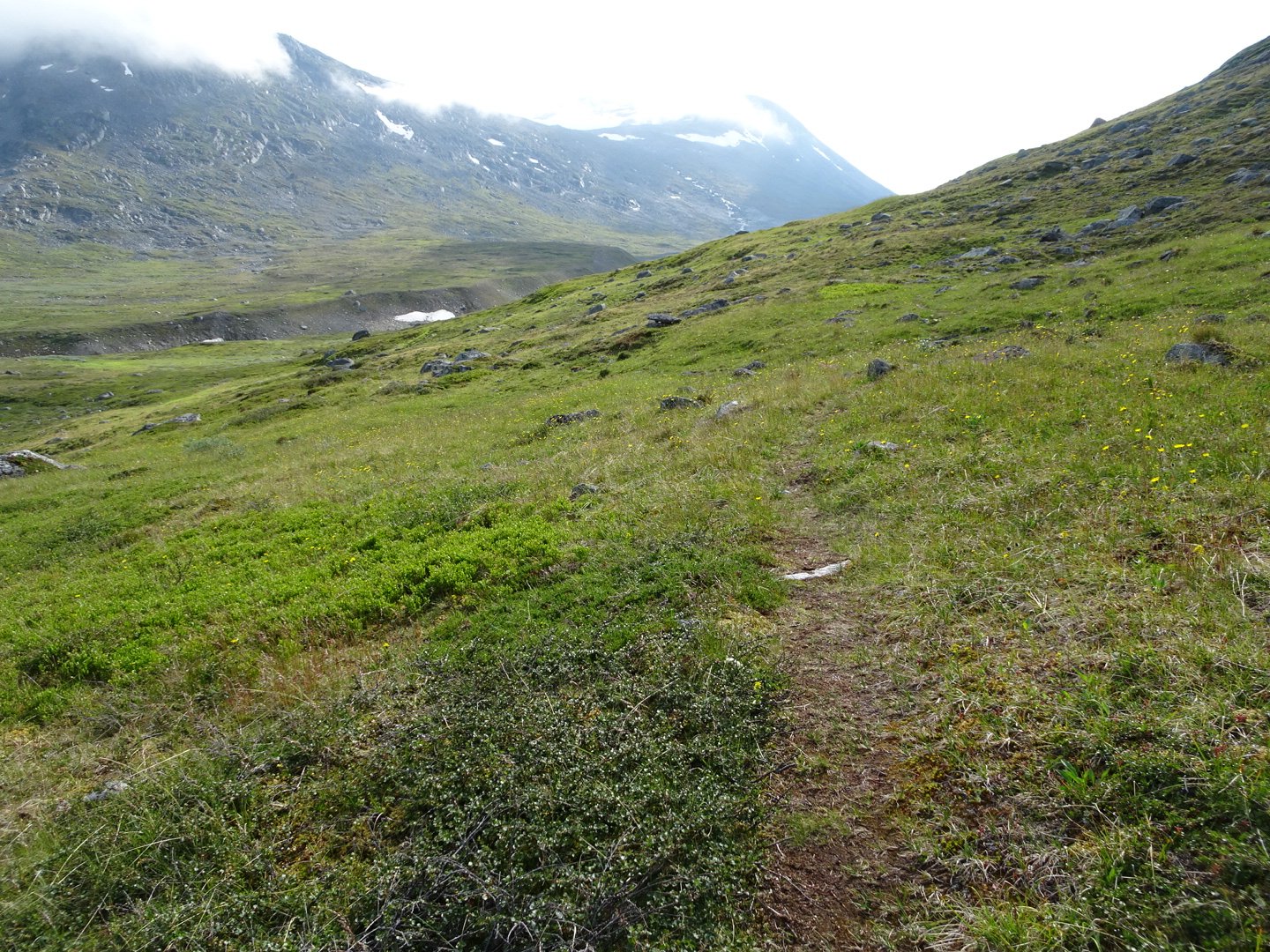
I started walking and it was quite neat being in the mist with such limited visibility. There was enough of a foot track or markers to see where I was going but I find limiting your visibility makes you pay more attention to what is immediately around you like the mosses and water droplets on flowers and spider webs.
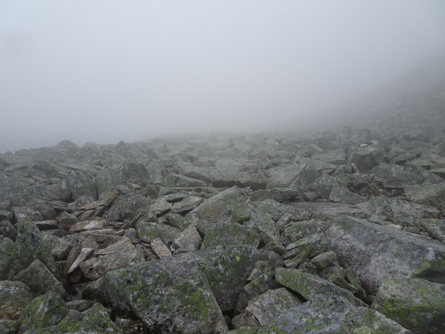
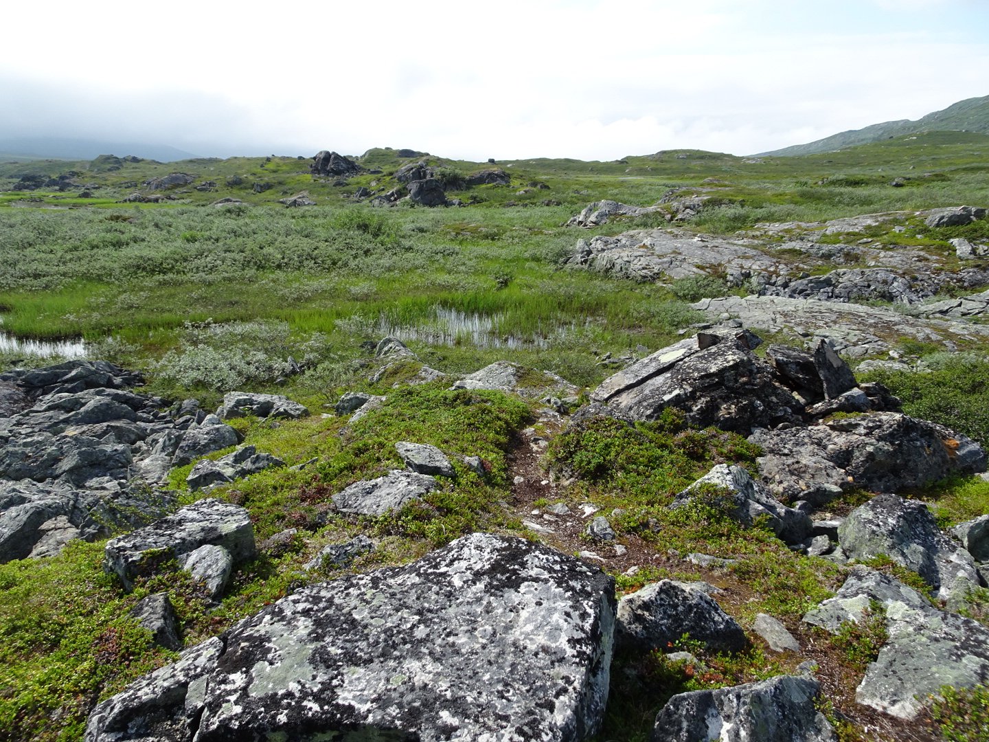
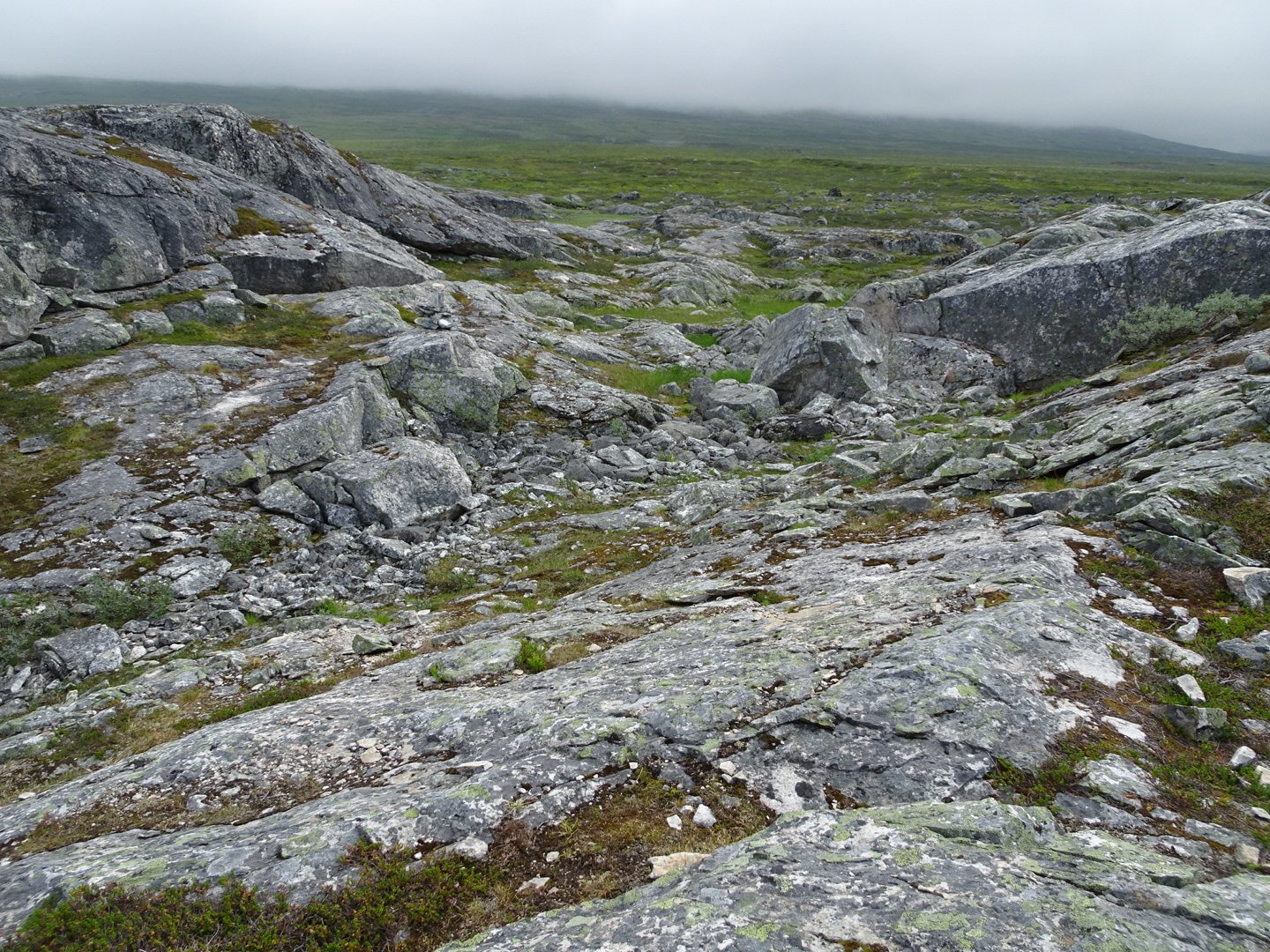
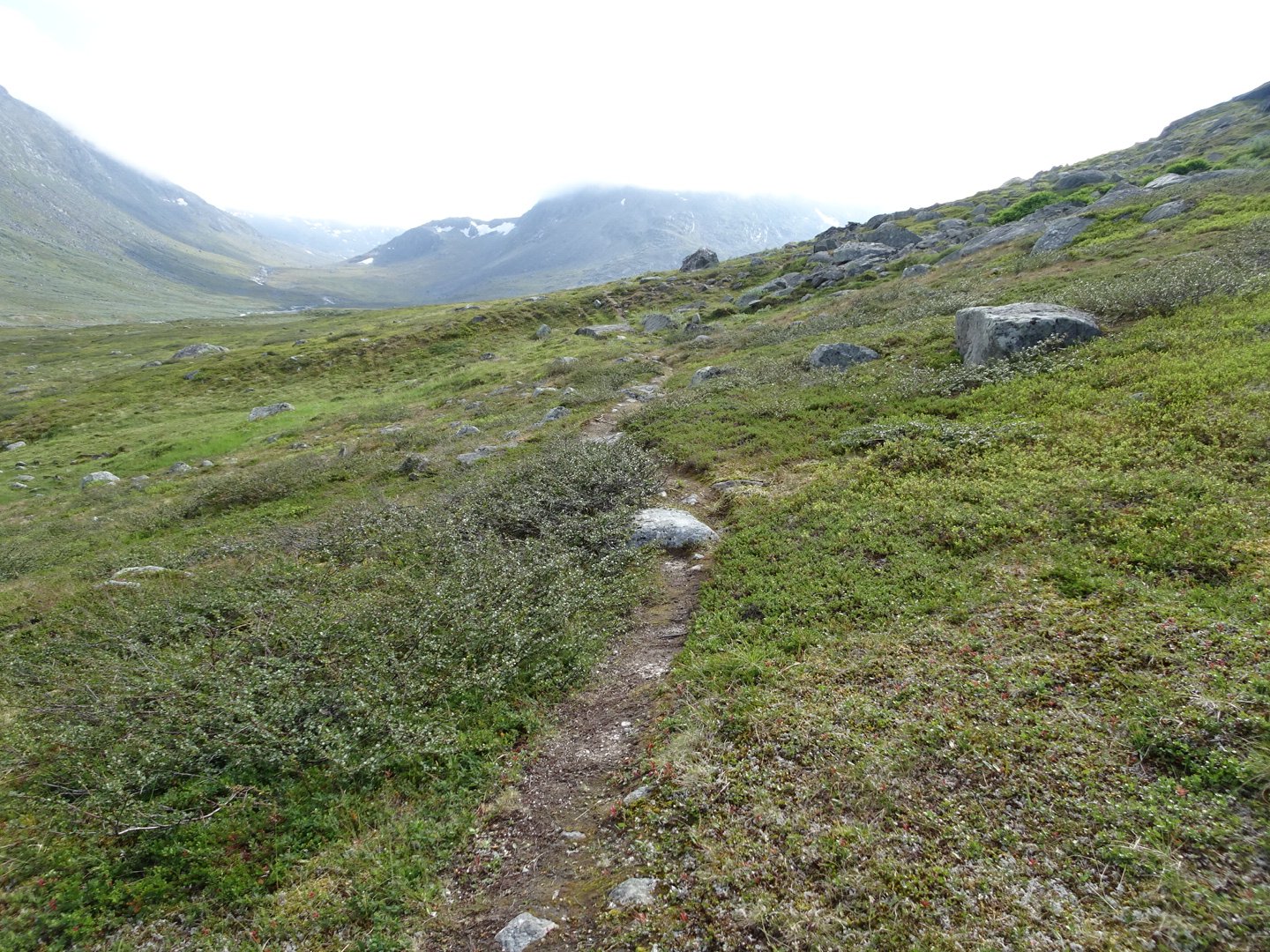
The track started descending almost immediately but was still being rock slabs. Most of the time the track was on a dirt trail between the rocks but sometimes it was walking on the rock slabs or jumping from rock to rock.
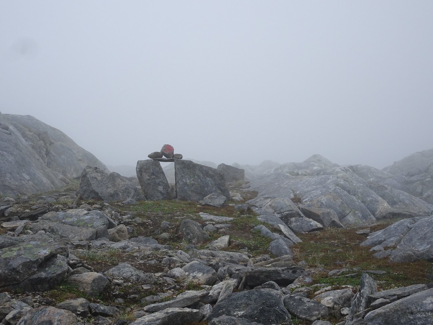
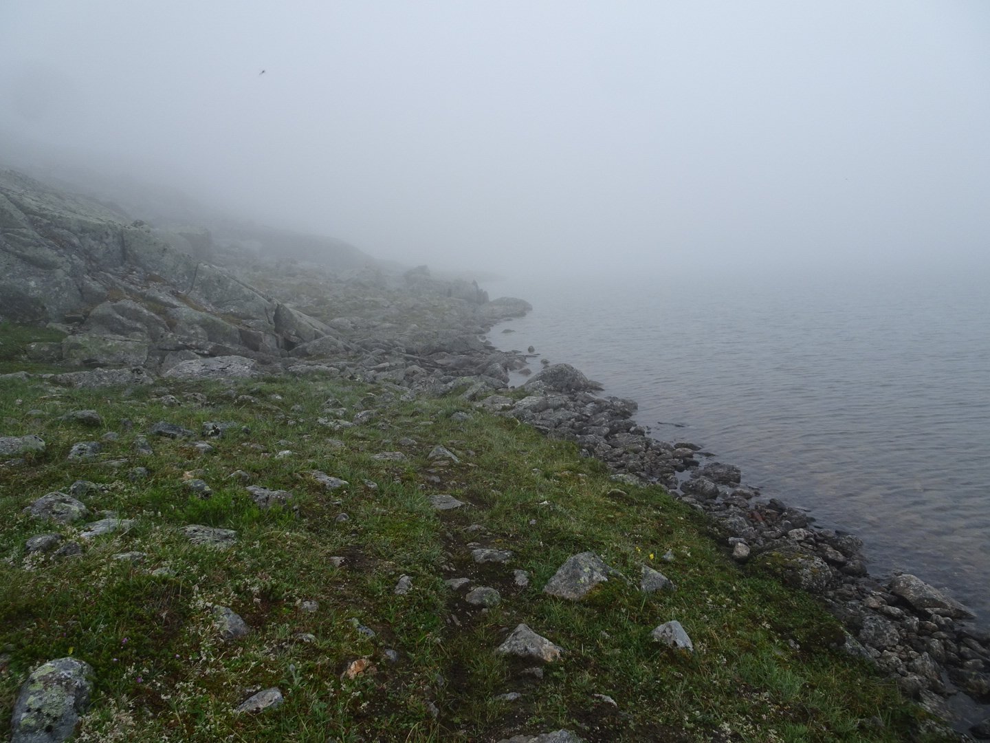
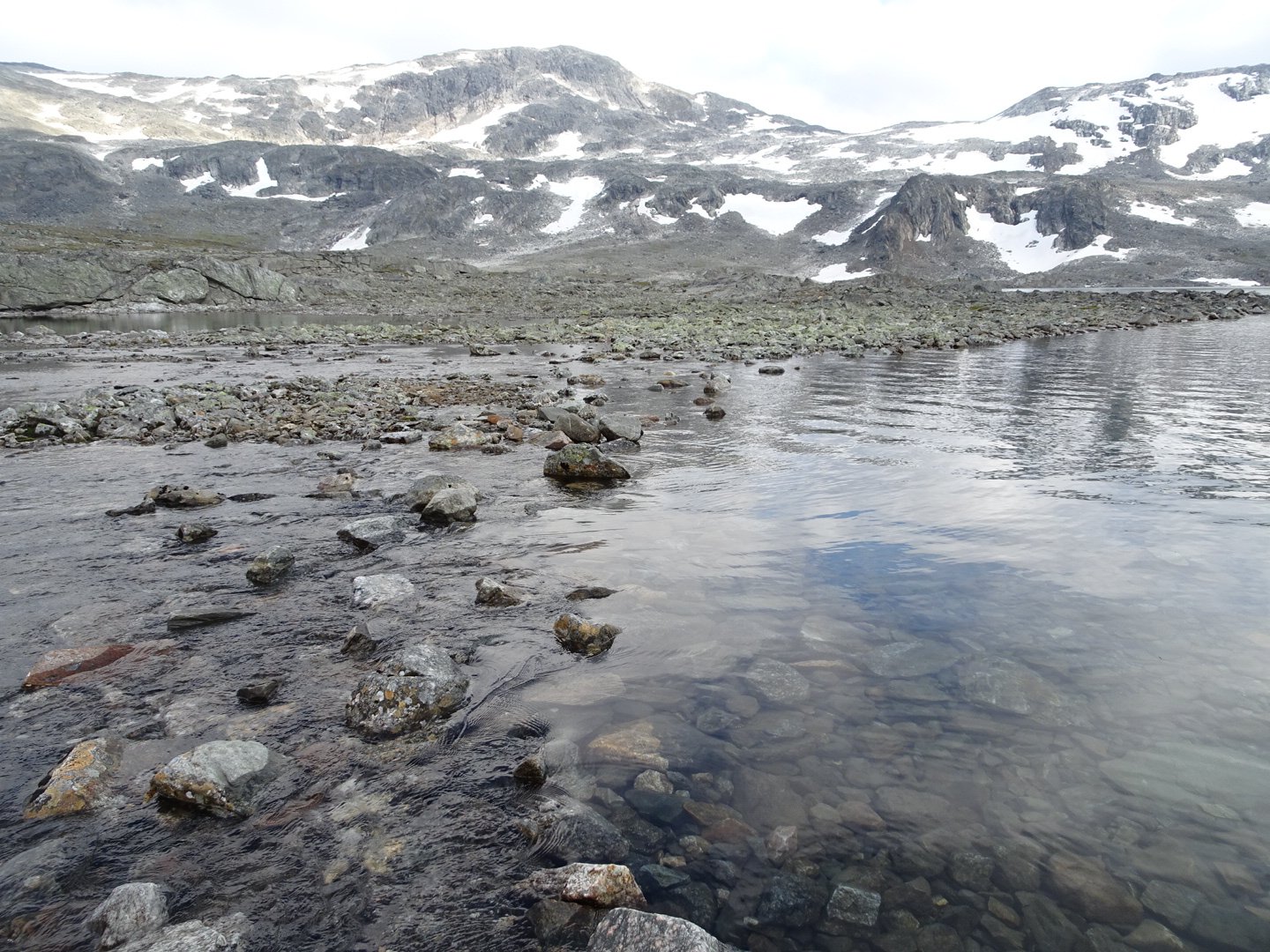
There were lakes at regular intervals but I couldn’t tell how big they were because I could only see the edge and a few meters in due to the mist.
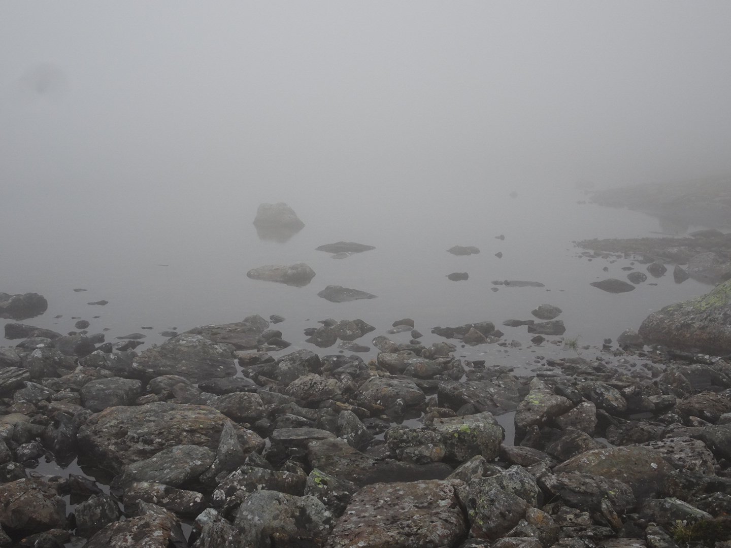
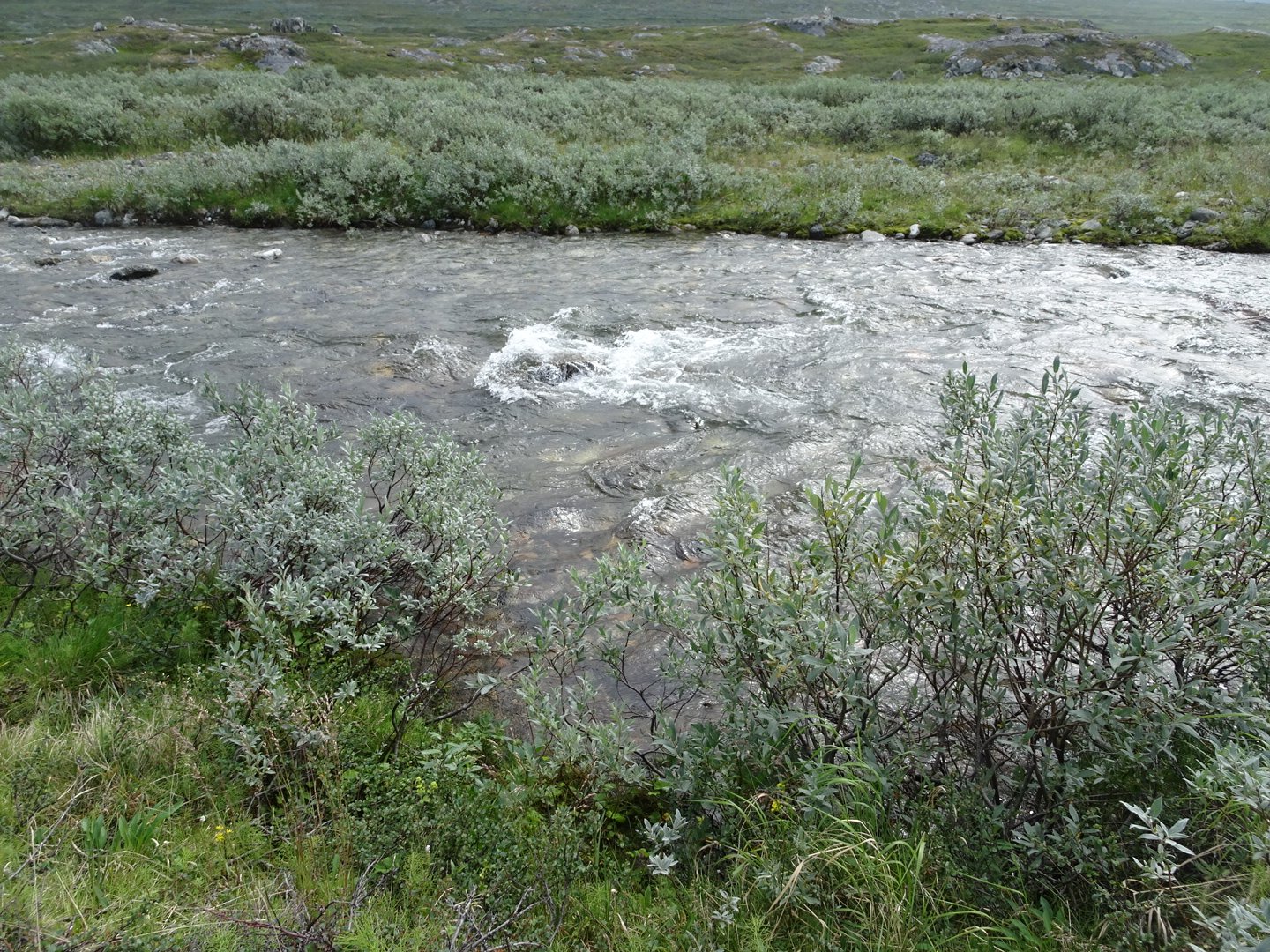
I reached a river and there was a marker at the river edge so I guessed I needed to cross. I could not see the marker on the other side until I was half way across the river. It was wet feet early today.
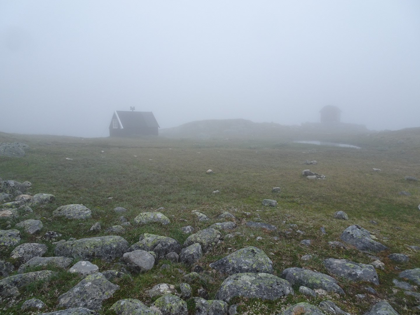
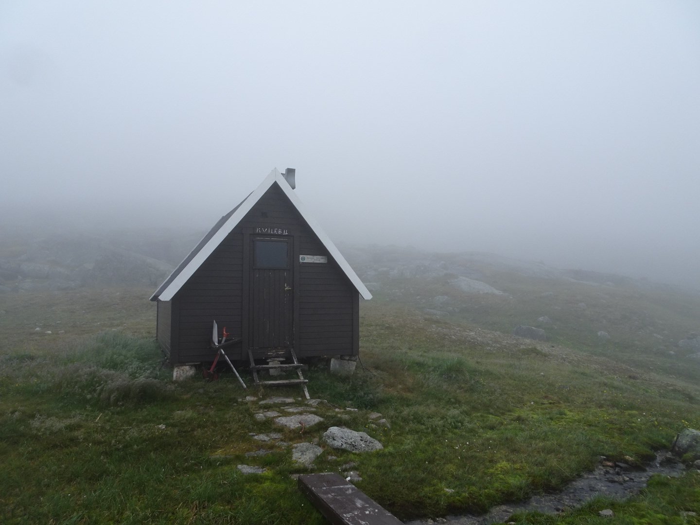
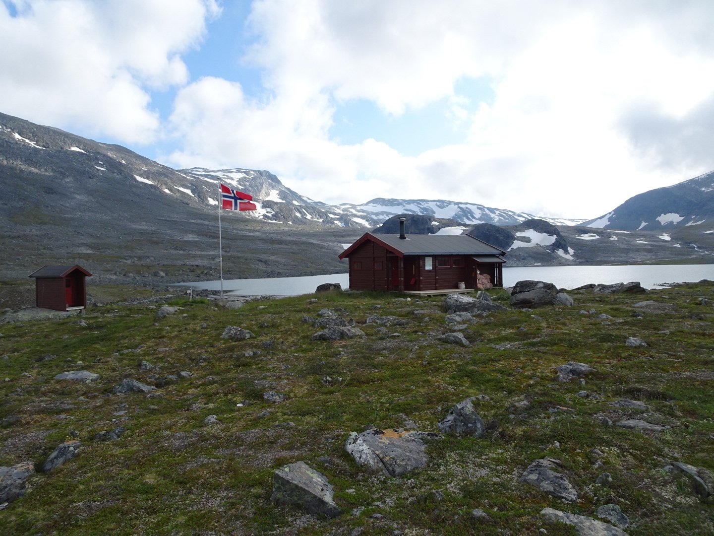
Now the track was loosely following the river. I reached the intersection with the other option for coming this way. Not long after this a hut appeared out of the mist. I had not noticed this on my map. It was a Narvik Hiking Club hut but DNT members could also stay. It was a very basic hut but the rate was the same as the large DNT huts I have passed.
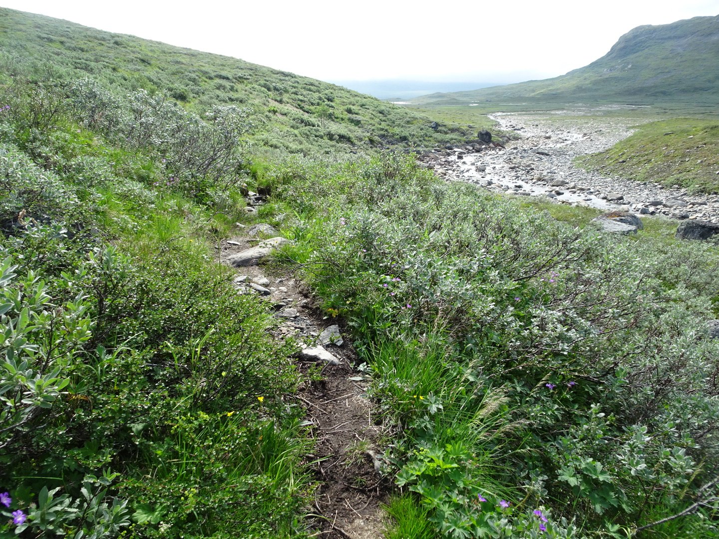
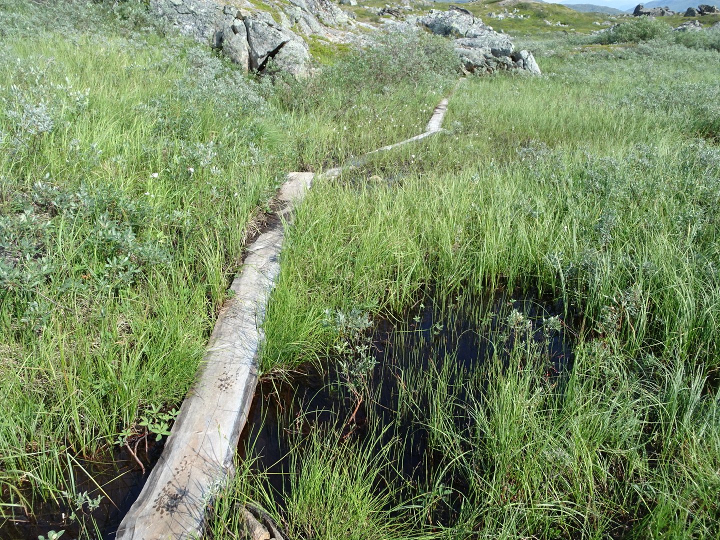
The track alternated between rocky, swampy and grassy but the gradient was gentle. I felt like I was going quite slow as I had to pay attention to the path so I did not trip over.
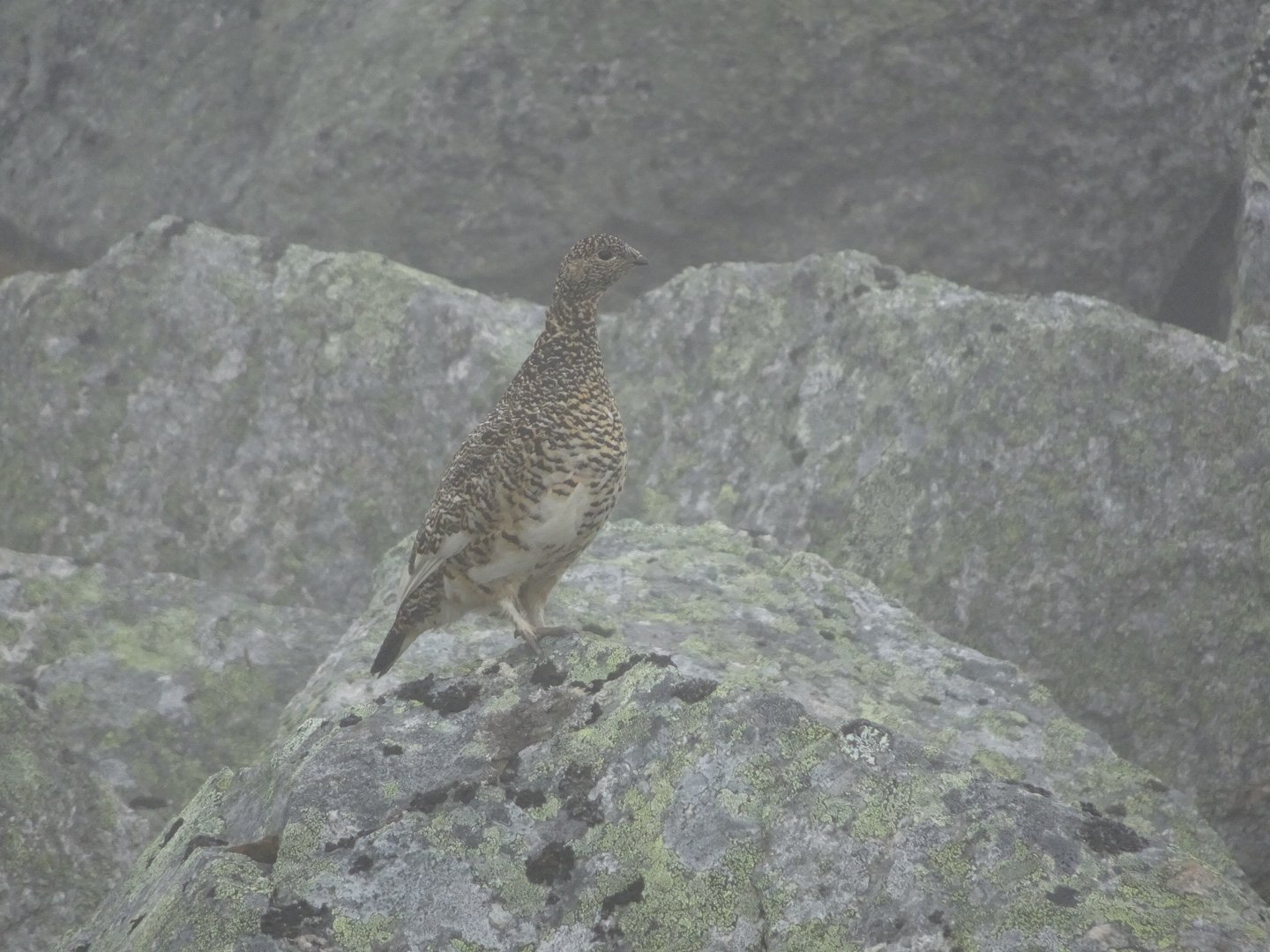
The annoying bird was back and I was in hysterics watching one bird. It had a baby with it and was trying to distract me. It would move a little to get my attention then it raced behind a rock and dropped low, hiding. Unfortunately the bird was bigger than the rock and I could still see it. The bird would then scurry to another spot and drop low. It reminded me of Pepper Potting in the army (advancing in contact you dash forward, drop down and then crawl a little to change your position)
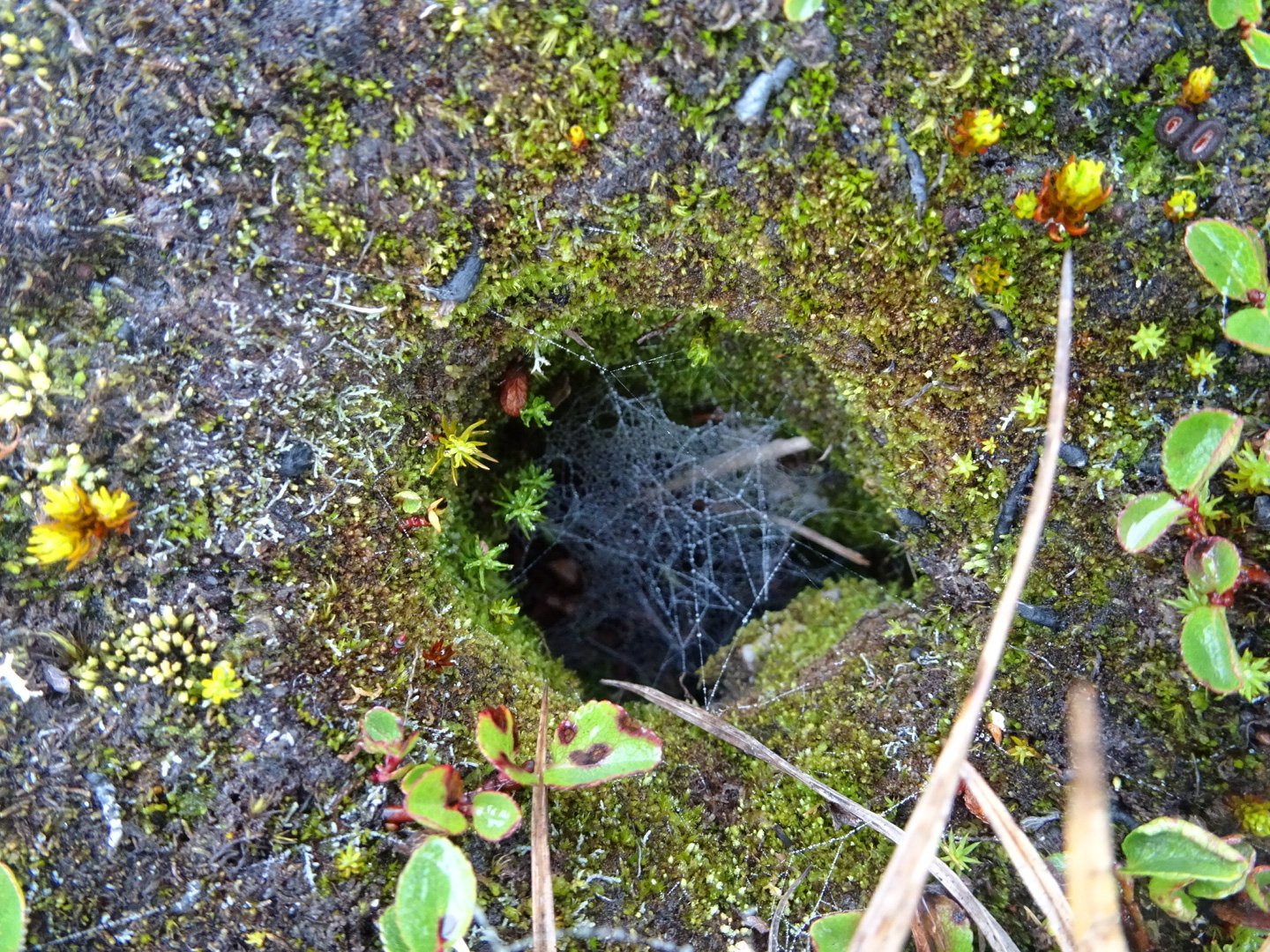
A
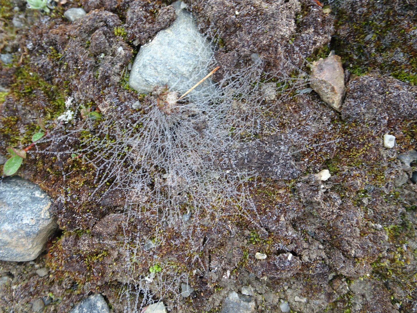
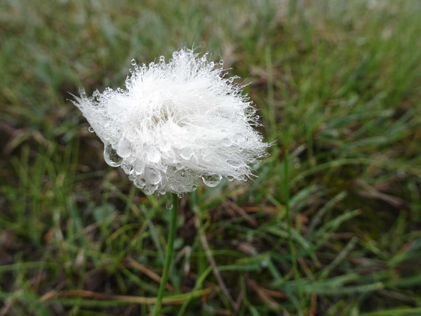
Looks like the rock is growing roots but just water droplets on a spiderweb
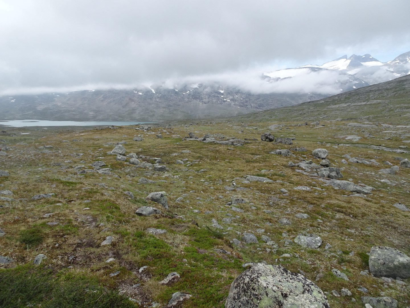
At around 0930 the mist started to lift a little. In front of me a dramatic steep snowy mountain revealed itself slowly, piece by piece. It was neat watching it appear and I was fascinated with its different sharp peaks.
The track dropped down at a junction with another valley and two young Norwegians came towards me. We had a very quick chat, mainly to do with how fast I was going. I just said I was going downhill when they saw me.
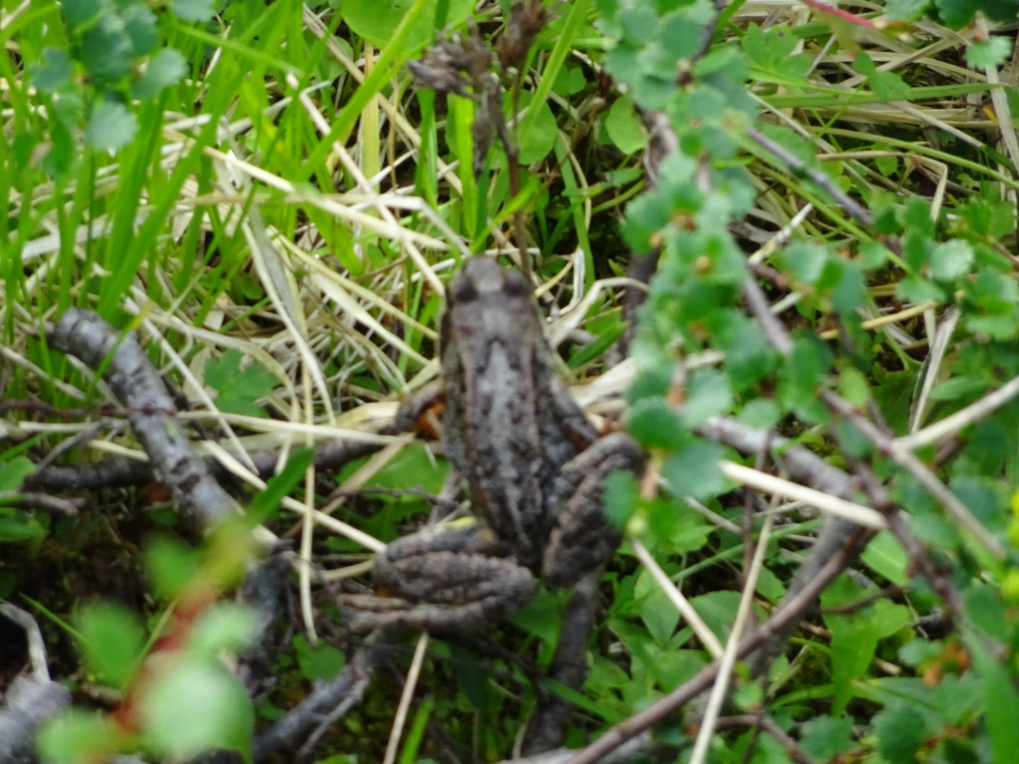
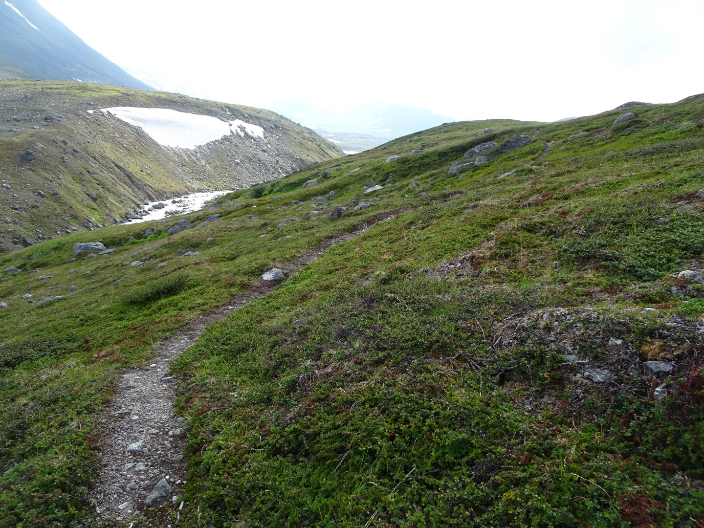
Now the trail followed along the side of a hill, well above the river. A lot of the track was now was easier walking but there were frequent patches of swamp and some areas of scrubby vegetation. There were heaps of frogs on this bit and they would surprise me as they would only move at the last second before my foot was about to come down near them.
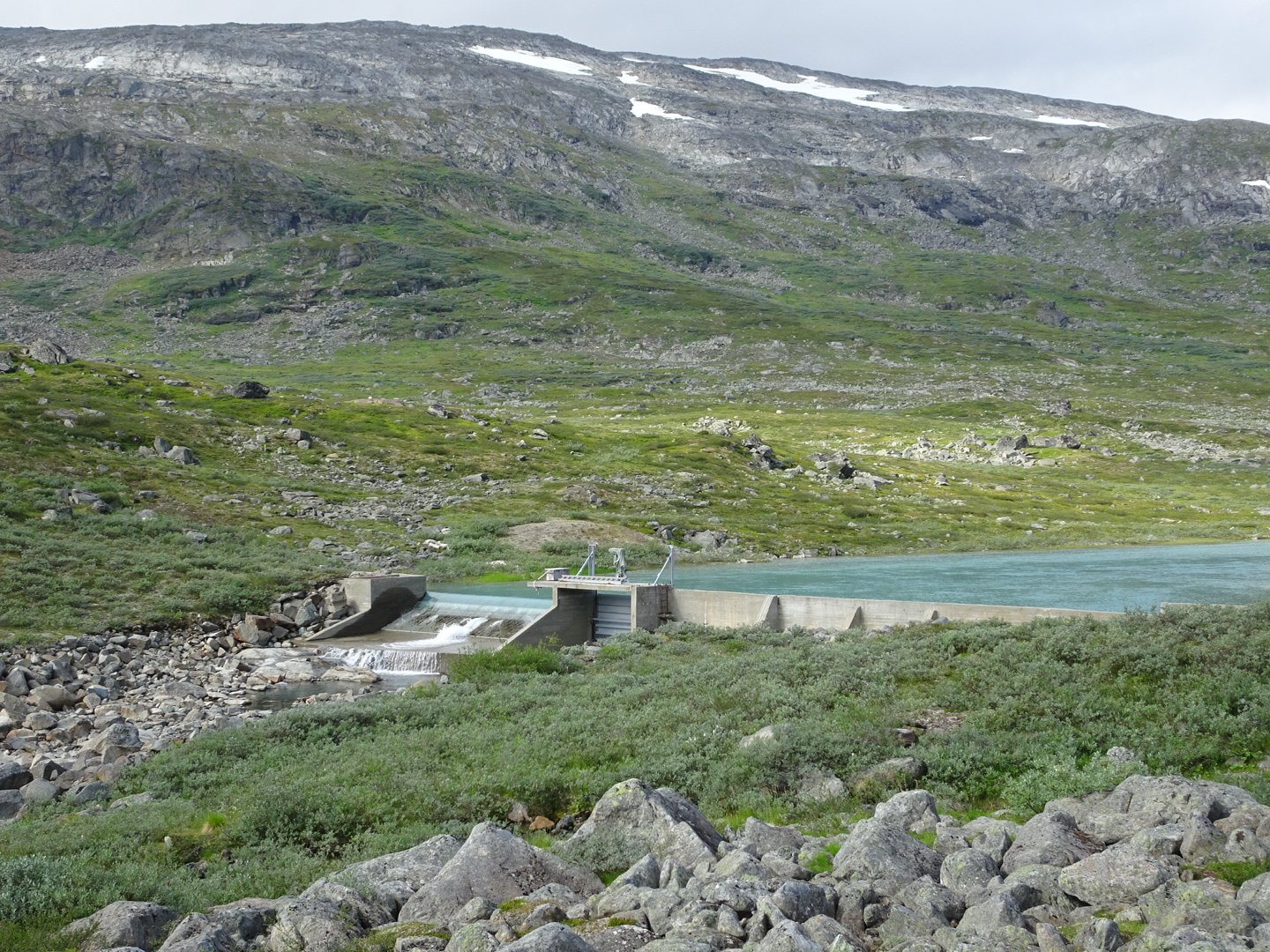
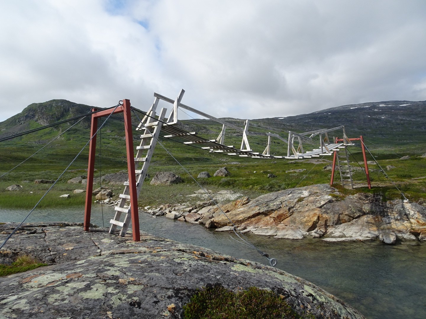
I saw a strange shape over the river and as I got closer there was a structure over the river. I was not sure if it was a dam or something to help the salmon get up river.
Not long after this a hut came into sight. I was sure this was not the hut I was aiming for but secretly was hoping it was. As it got closer I could see it was a private hut. I had been struggling with the quality of my maps and did not have an exact fix on my location. 10 minutes later I came to a junction and a bridge. I sat down to take a break and figure out where I was. Originally I thought I was at a location well back but I finally clicked where I was on the map and realised it was only a km to the hut. I cut the break short and was off.
The bridge looked very rickety and I choose to go through the river rather than over the unstable looking bridge.
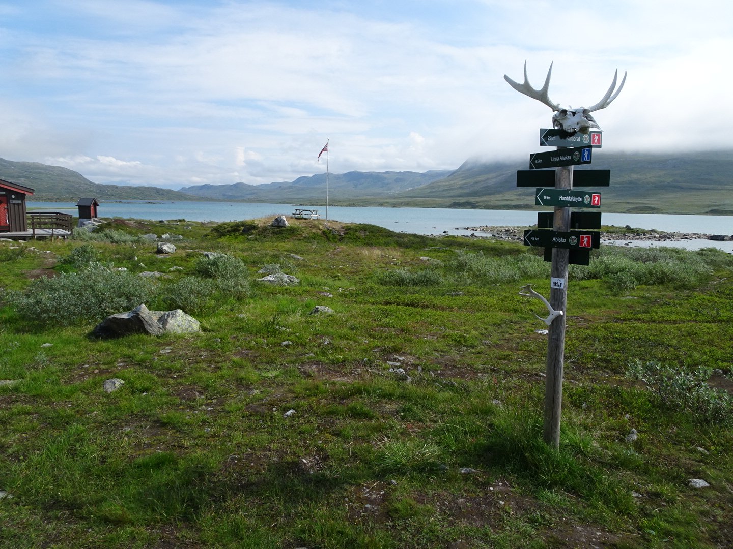
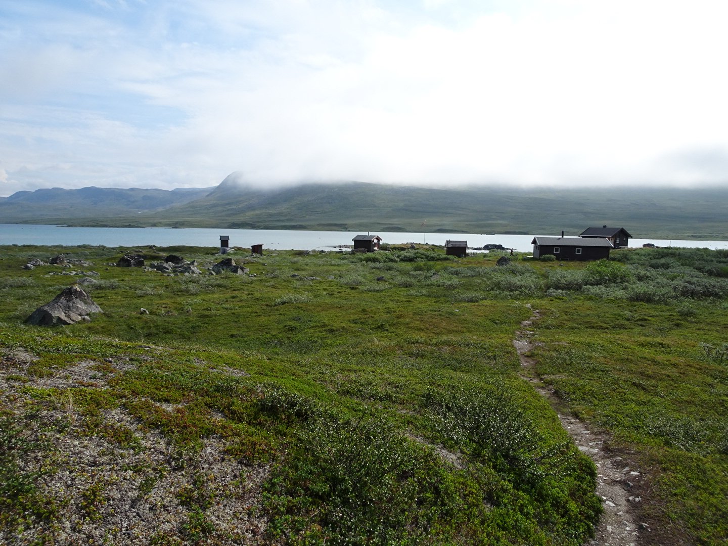
Then it was a quick walk to the hut, or rather huts. There were three buildings plus two toilets. There was a man at the picnic table so I dropped my pack there but took off to the toilet. It was quite far from the hut and I am glad I wasn’t staying there as it was very inconvenient.
Back at my pack I prepared lunch while talking to the Norwegian Man. He was doing an 8 day hike around the area. His pack was 130 litres and looked as full as it could get. We both finished lunch at the same time and left but I quickly left him behind.
Now it was up and down over little hills and across swamps that had boardwalk on them. This lead to a bridge and though it looked dodgy as well the river was really fast so I went over the bridge.
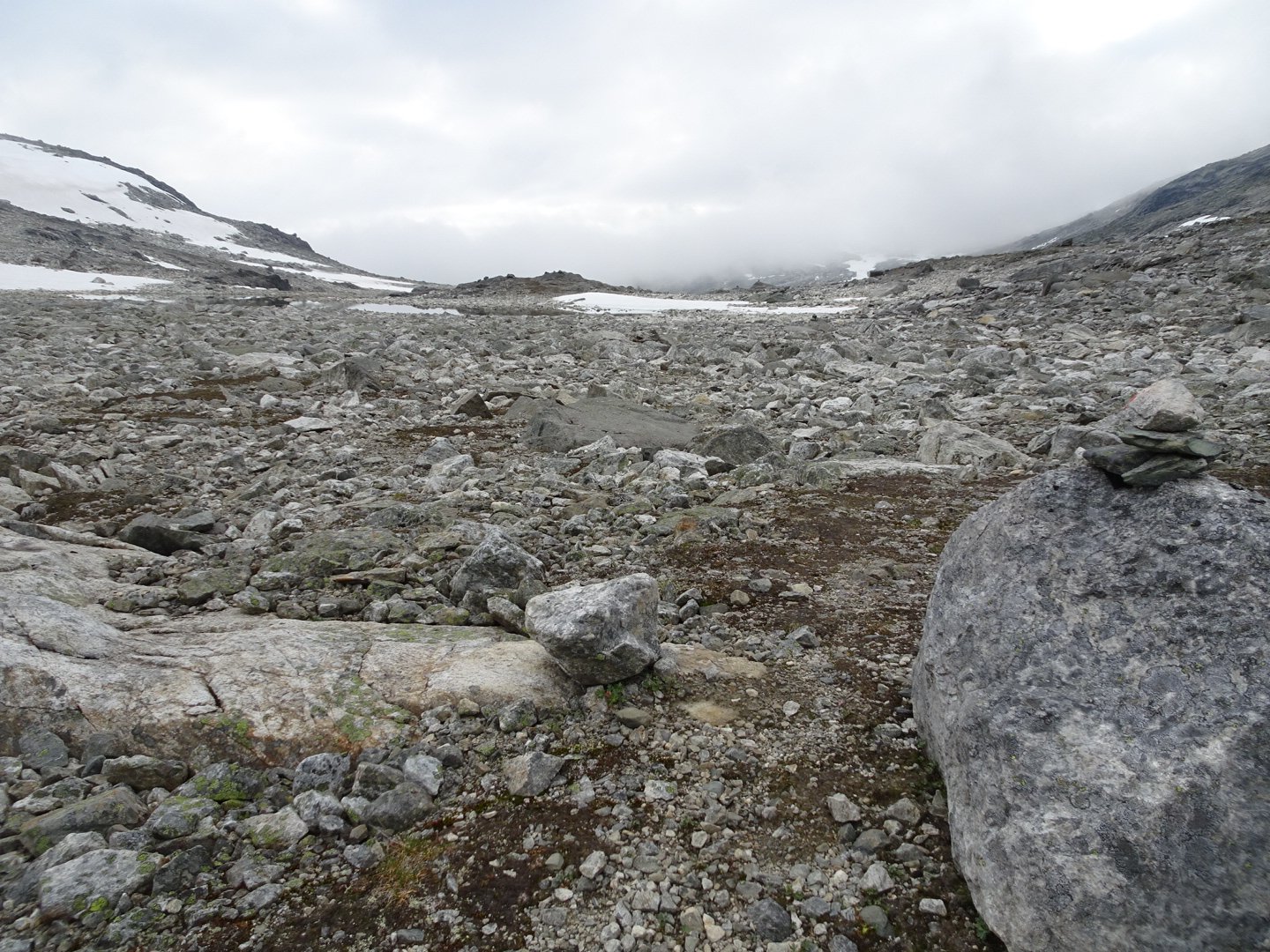
Safely across it was now a straight line for 4 km. The track on this part was annoying. It looked like a fast track but there were so many rocks that it was actually slow and I had to pay a lot of attention.
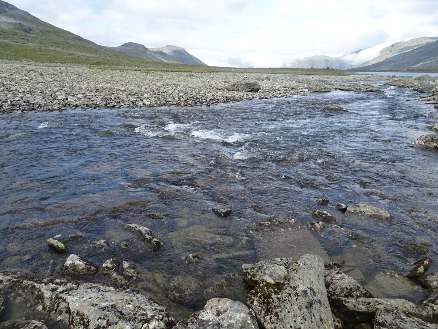
There was a river crossing and this was the fastest river I have crossed. My hiking poles were vibrating but it was only knee deep and I took it carefully.
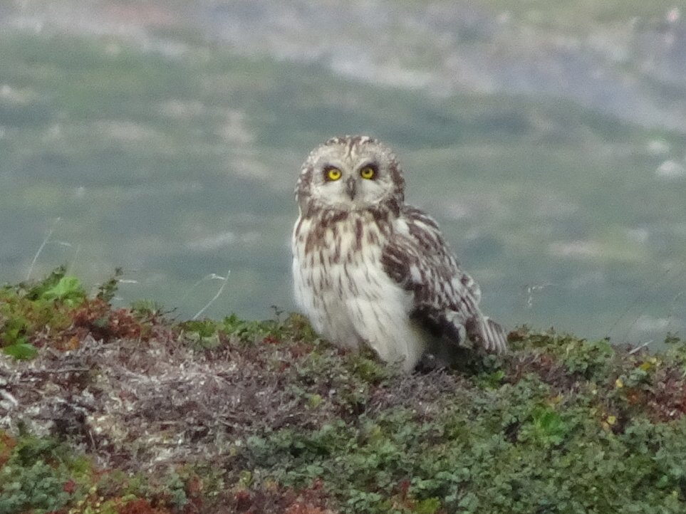
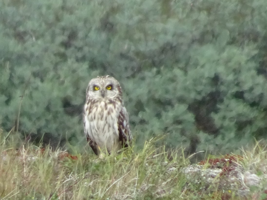
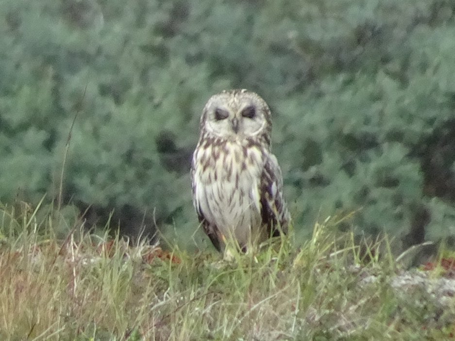
I had just crossed another little creek when I heard a weird noise and a large bird took off from near me. It only flew a little way and then stopped and looked at me. It looked like an owl and when it turned its head to look behind it I was now definite that it was an owl. It flew a little more but landed on a bank a little closer to me so I was able to get a better look. It would stare at me then look behind then stare at me. It watched for ages as I started walking again.
I was now at a point on my map where there should be an intersection. I checked with my GPS and I was where I thought but could only see a track going one way and that was the way I did not want to go. I could see a hut in the direction I thought I should be so I went cross country to the hut and then cross country to cross a river then bashed my way up the hill to reach the track I wanted to be on. Once again the map was not accurate with tracks.
Now the track slowly climbed and went around the side of a large hill. It was parallel to a river below then turned into a side river.
At this point my ankle suddenly became really painful. I had not gone over on it or jumped onto it and there was no reason it should suddenly hurt. I stopped and stretched my legs and the ankle and went to walk off but it was still really painful. More stretches and then as mysteriously as it arrived the pain was gone and never bothered me again.
A lake came into sight and the hut was visible on the other side of the lake but it seemed to take ages to get there and the terrain was becoming more and more rocky. At the hut I had a quick break and continued on.
The track went beside the lake and the dirt to walk on became less and less and the rocks started increasing in size. I crossed a river and now started climbing, with frequent pauses to try and see the next marker.

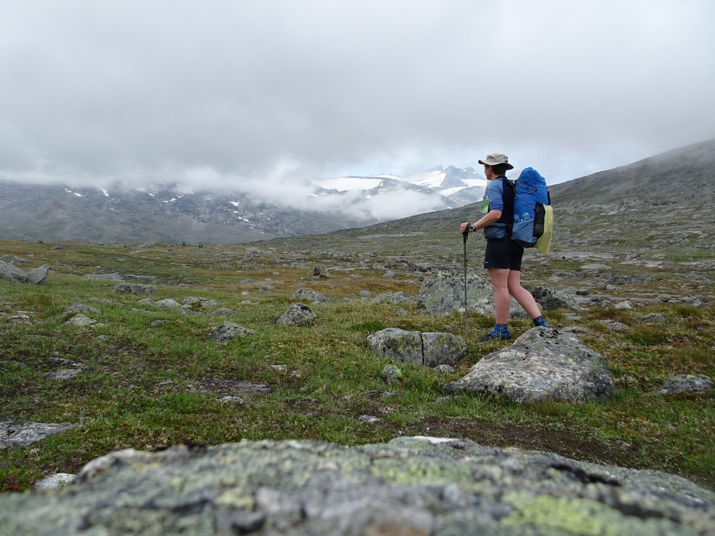
A hiker coming towards me helped when I was struggling to see where to go. They were above me and stopped for a break and when I reached her we had a quick break. She said the markers were going to get worse. Her partner arrived and then a man I had seen coming from a different direction onto the same track. The couple took off for the hut and I talked with the man. He had been hike where there were no tracks and was now heading towards Sweden’s highest peak and was then going to do some trail running. He had a large map of the area and I was able to see the big picture of where I was going and why I was about to start heading west rather than keep going south where several large lakes blocked progress.
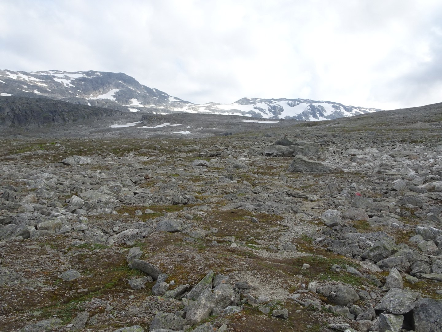
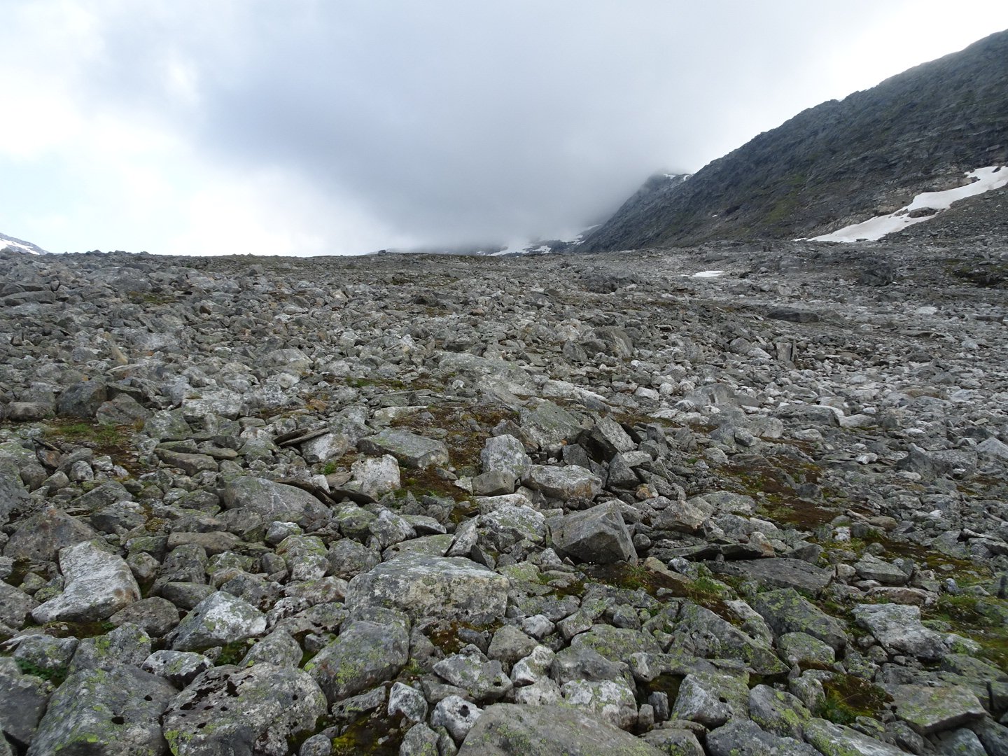
We then started walking and I quickly left him behind but at the next lake I followed the markers the long way around the lake and he took the unmarked short way. I was now really in alpine terrain with lots of snow visible.
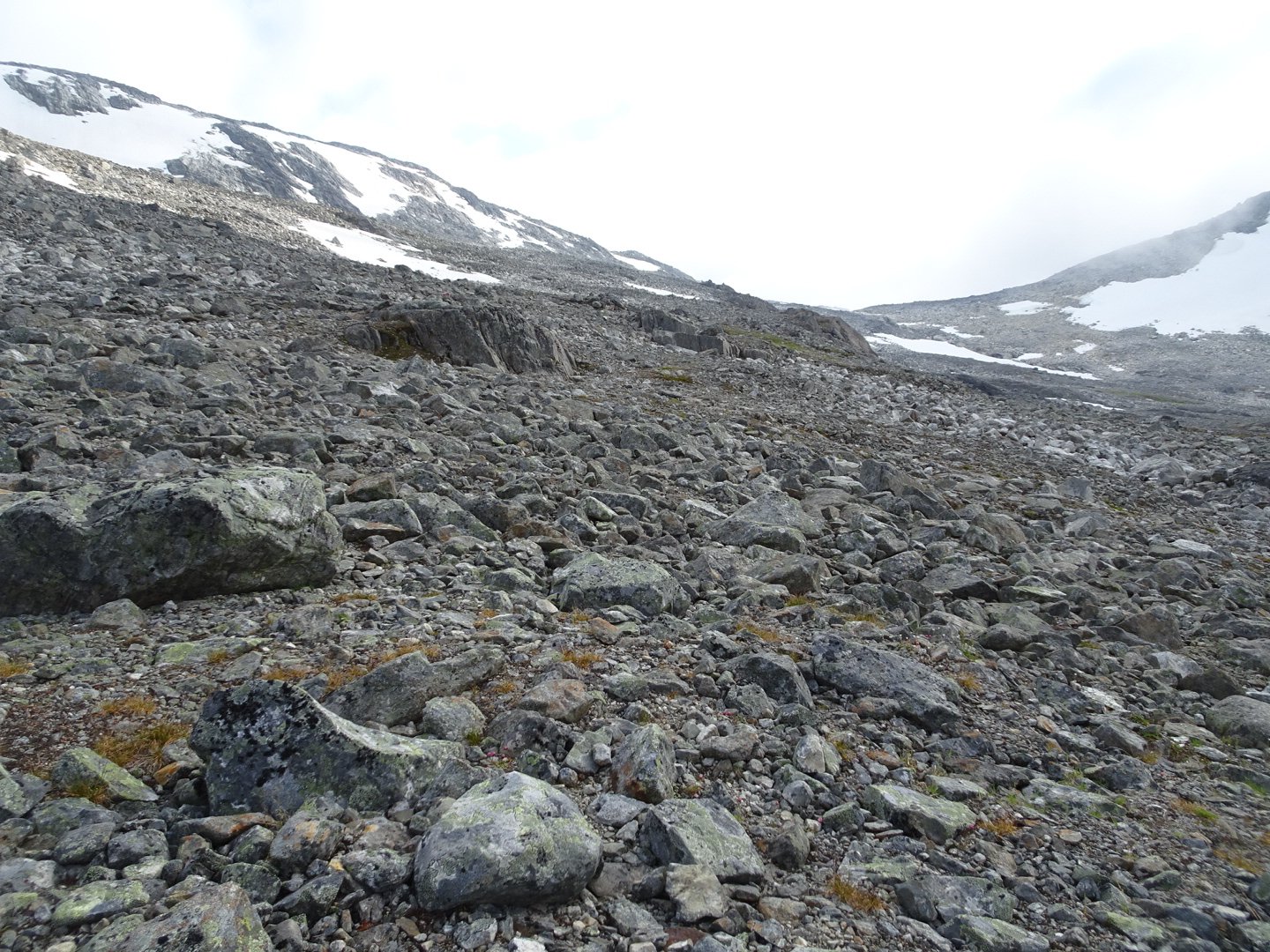
This was a really tiring part as it involved jumping from rock to rock while going uphill and the rocks were really big. I slowly made my way up to the saddle and I saw the other guy reach it well before me. I figured there must have been a reason the trail designers went this way.
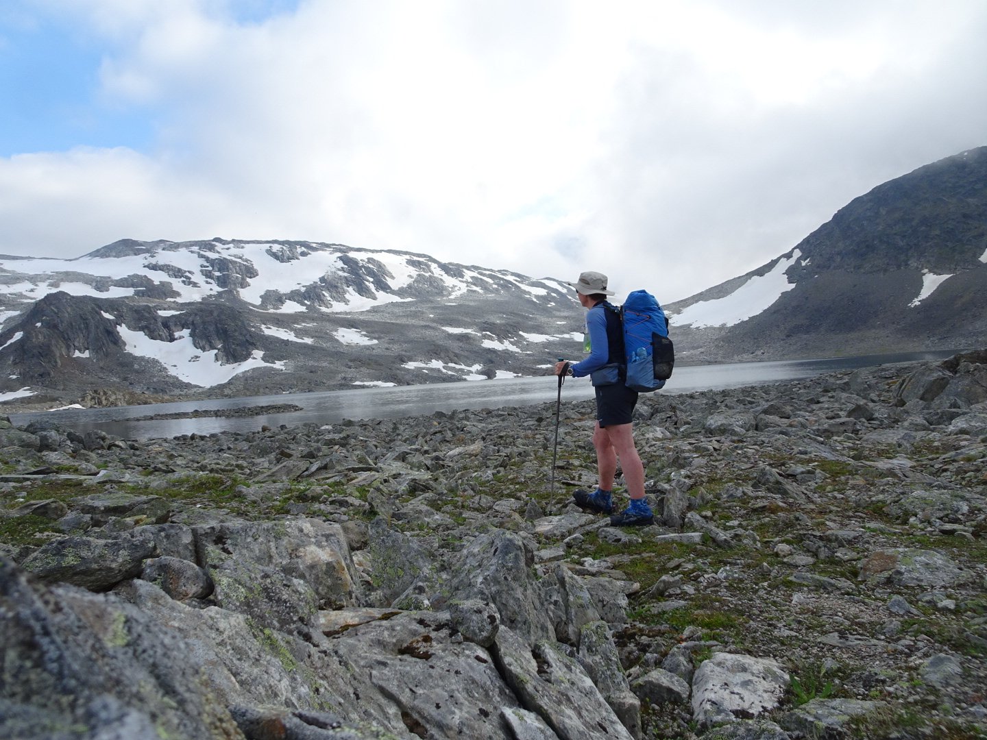
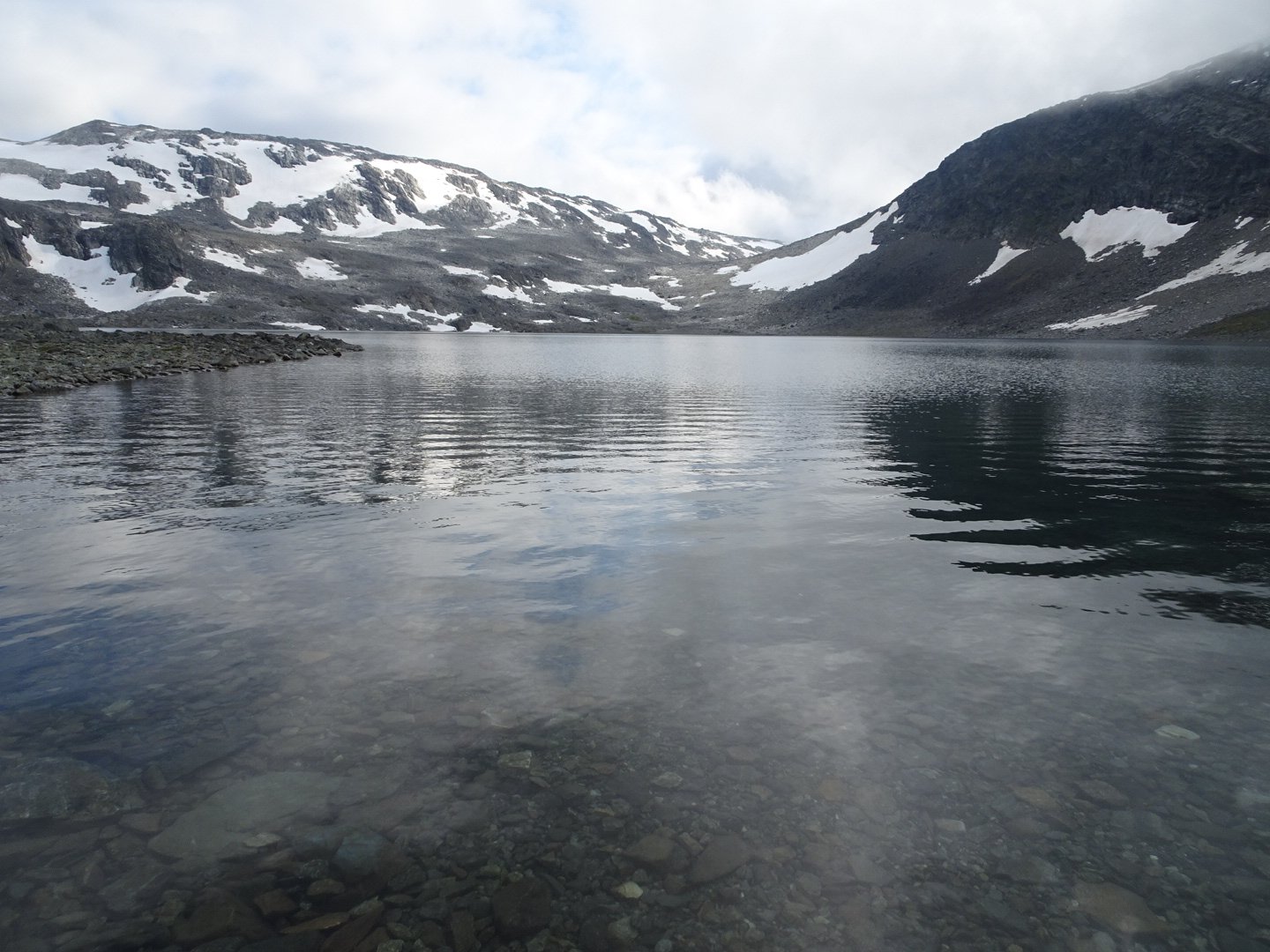
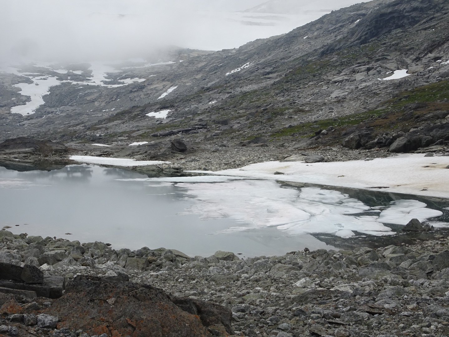
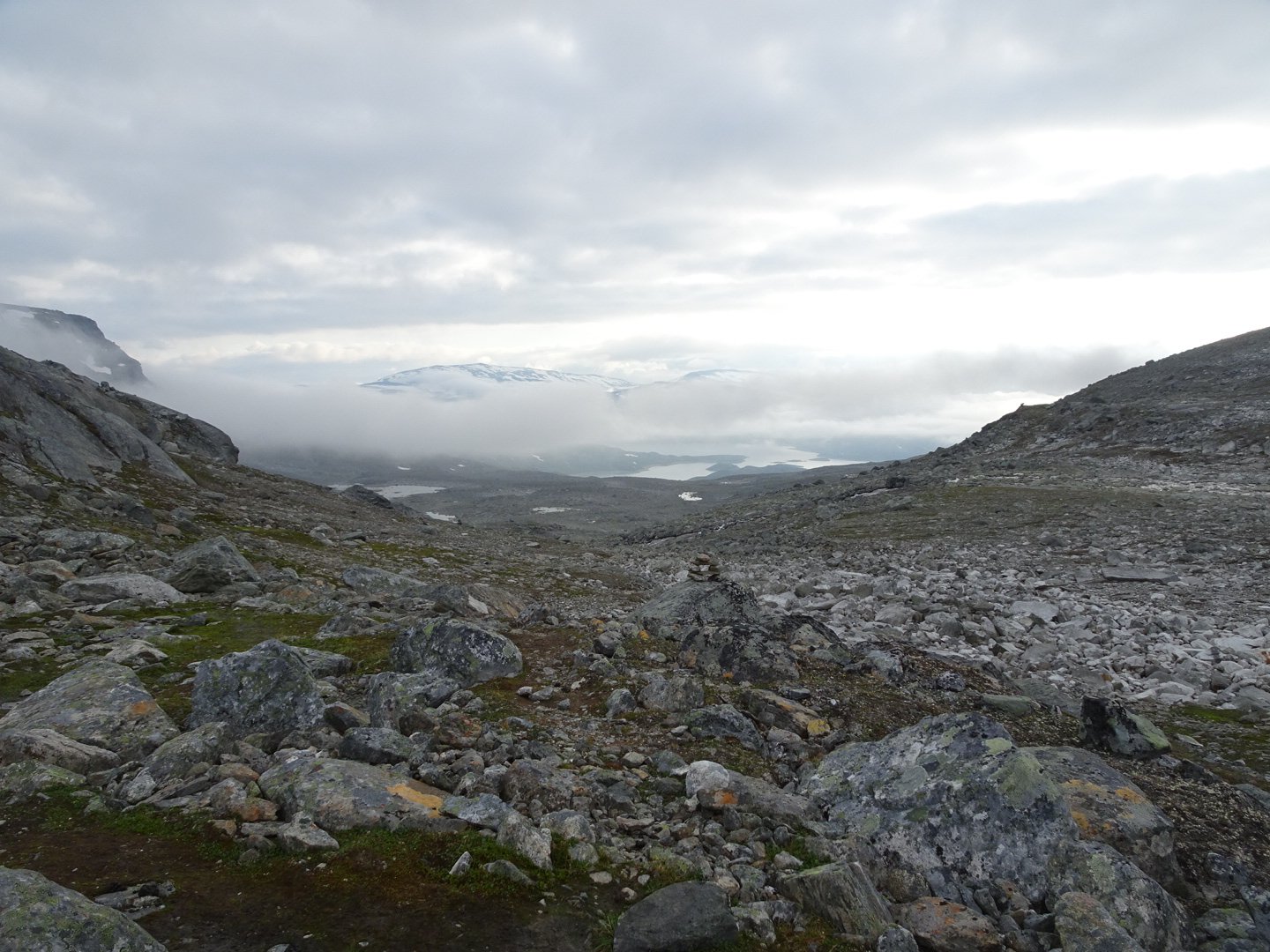
Up on the saddle were large patches of snow and a couple of beautiful lakes reflecting the peaks around. This was a new height record on this trail at 1197 meters.

A couple approached and said the other guy was looking for me. He must have told them what I was doing because we talked about the trail a bit. A strange question one of them asked me was if I had been hurt yet and seemed surprised I had not.
I continued and the trail dropped steeply to a river and a junction where I turned right to take me down to the lake. The rocks started to get less and the markers easier to see. I was feeling a bit tired now but wanted to lose some height before camping.
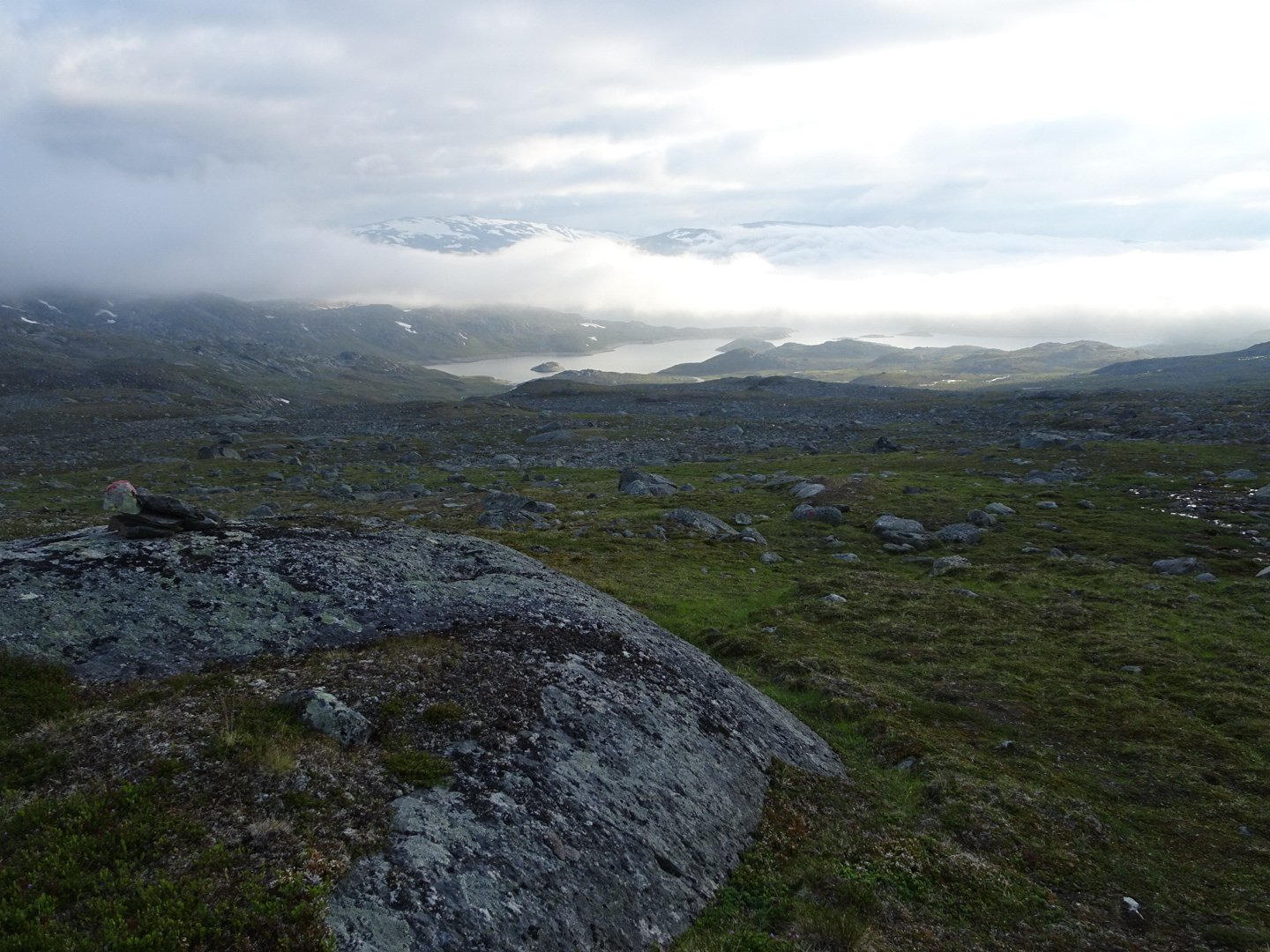
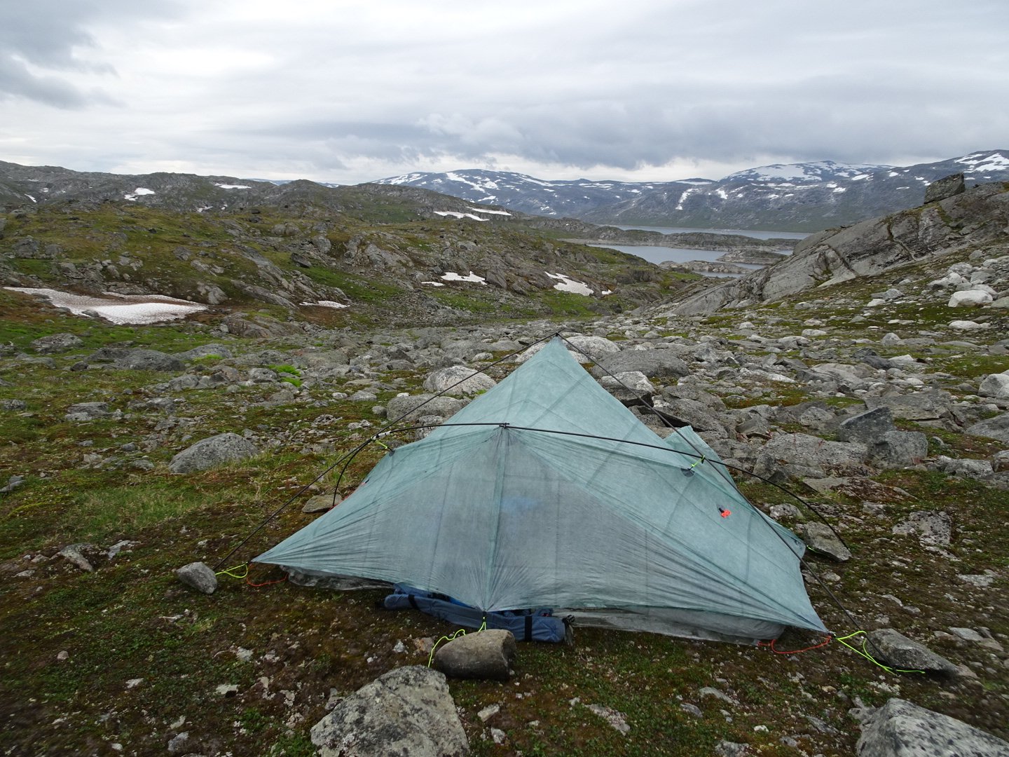
I filled up at the first stream I came to once I was down to 900 meters, shortly after the junction, I found a nice spot to camp with views down to the lake, and at a couple of snow patches.
 I was hungry so I had my Real Turmat as it is bigger than my other meals. This one was Reindeer Stew and was really good. Their process is obviously different from Backcountry Cuisine and the flavours seem more intense, or maybe I was just really hungry.
Views: 320