
Day 41 – 30 Jul, Valtarjakdaien Hills to Balvasshytta
(35 km, total 1113 km, 10h 50m, 0730 to 1820, distance and time to where I left the track for the hut which is 1km off track).
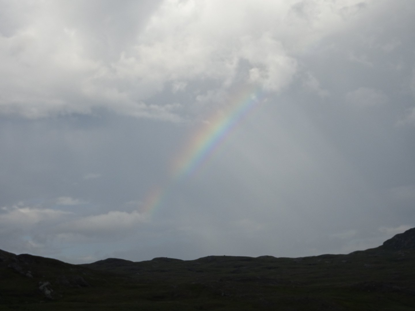
I had a very interrupted sleep as the rain was so hard at times it was waking me up. The rain is loud on my tent, sounding similar to rain on a tin roof, though I have full confidence in staying dry. I think it stopped raining around 0400 and when I woke my tent had dried off in the strong wind and there was a rainbow. It was back to porridge again for breakfast.
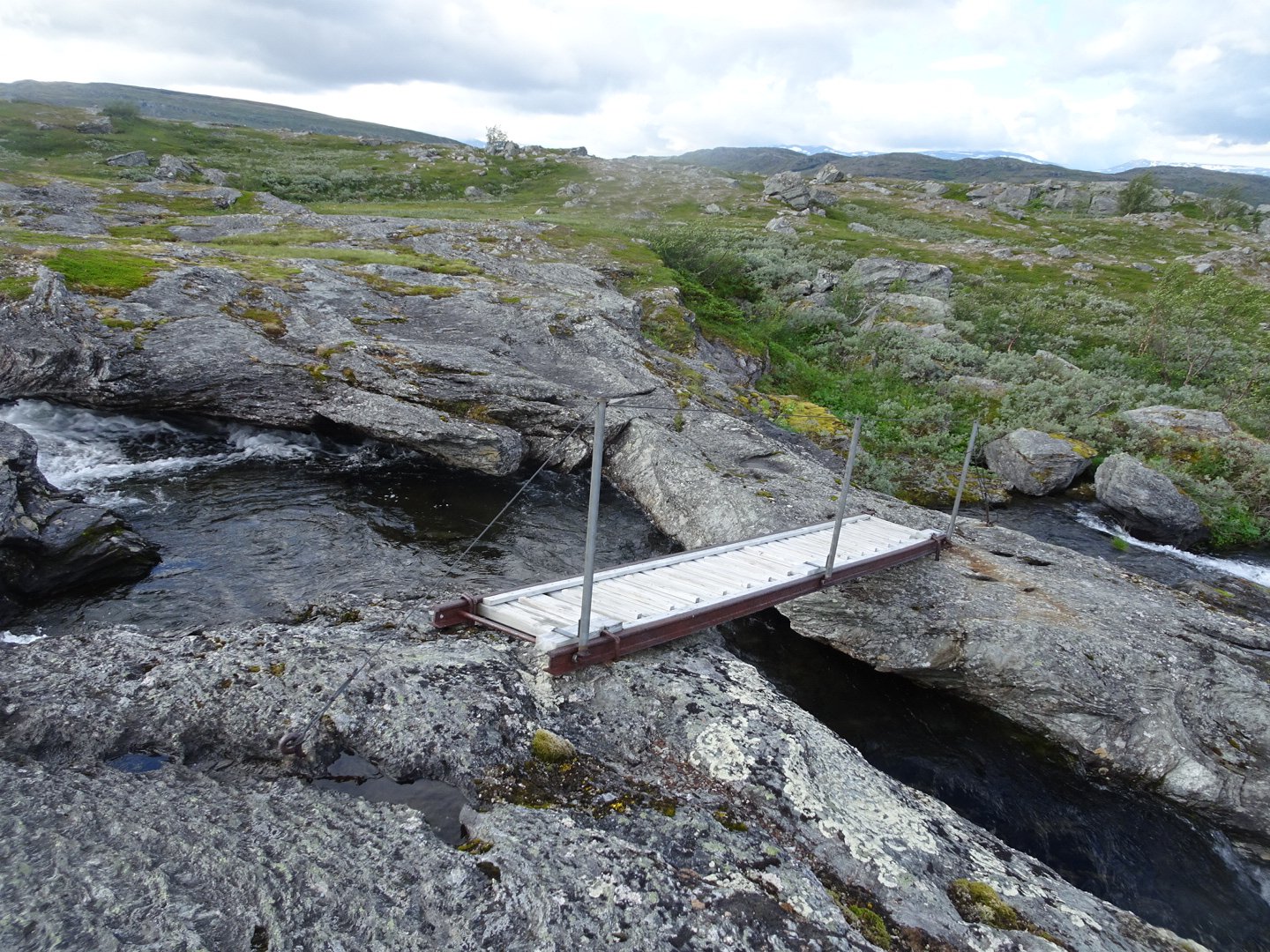
The trail crossed a bridge and then was mainly following markers with no track on the ground. It seemed like a strange route and the terrain seemed to be facing all directions.
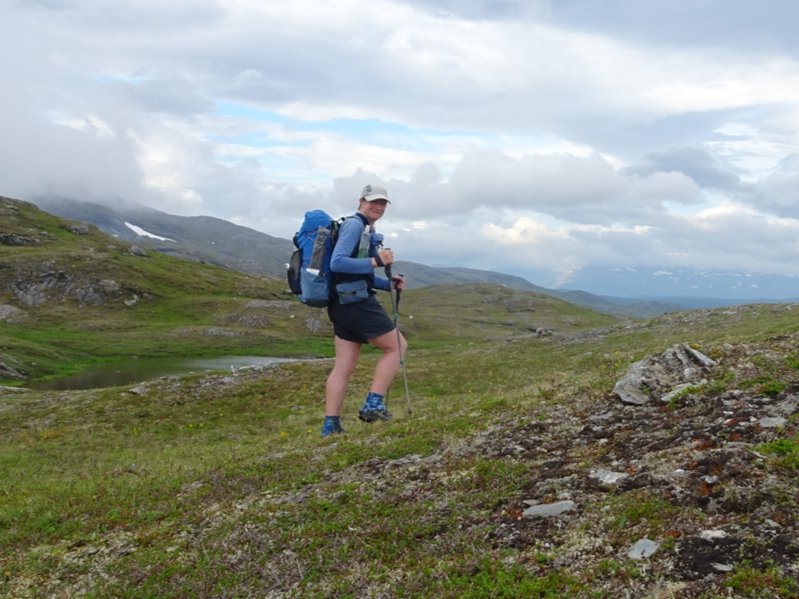
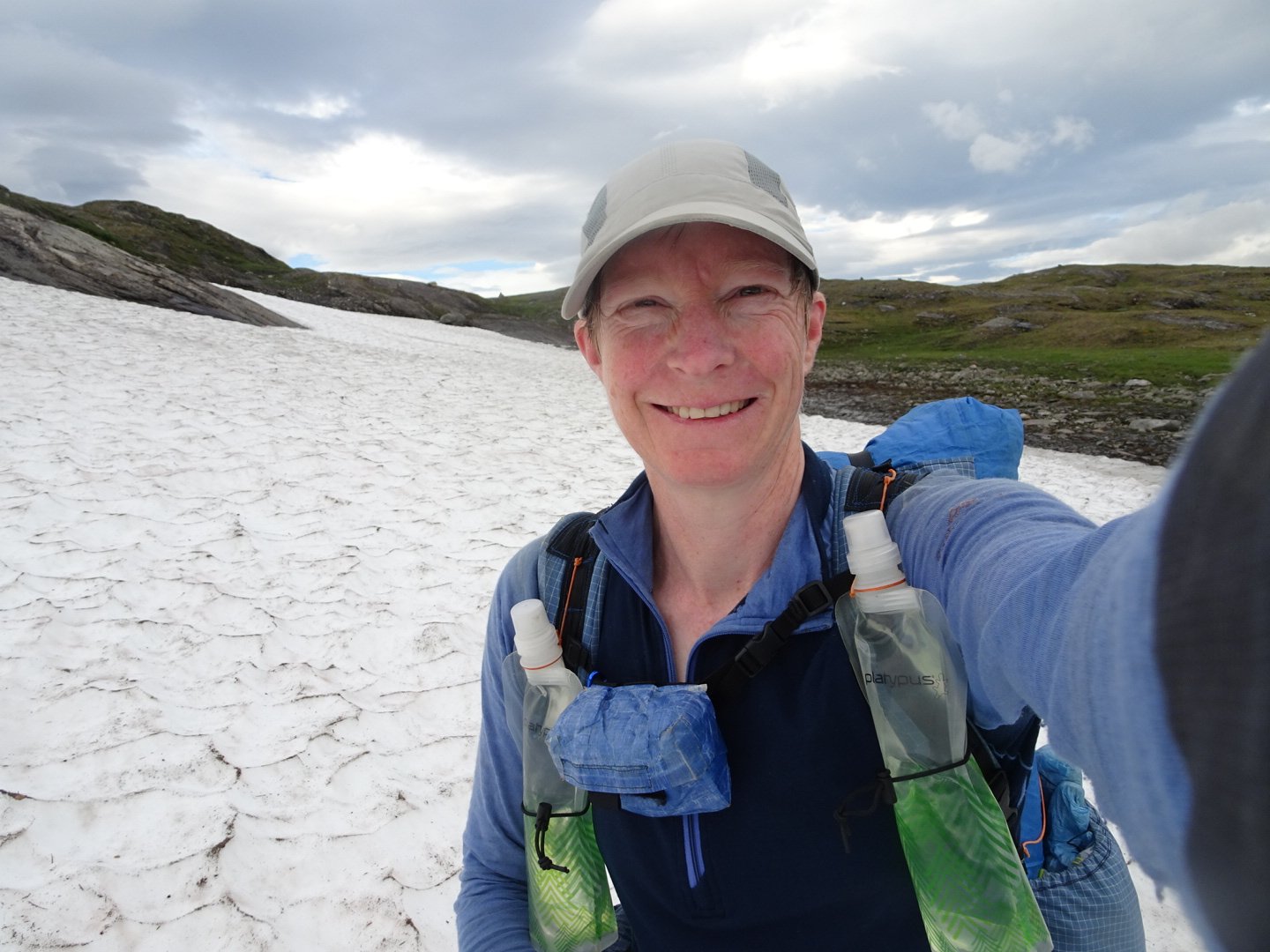
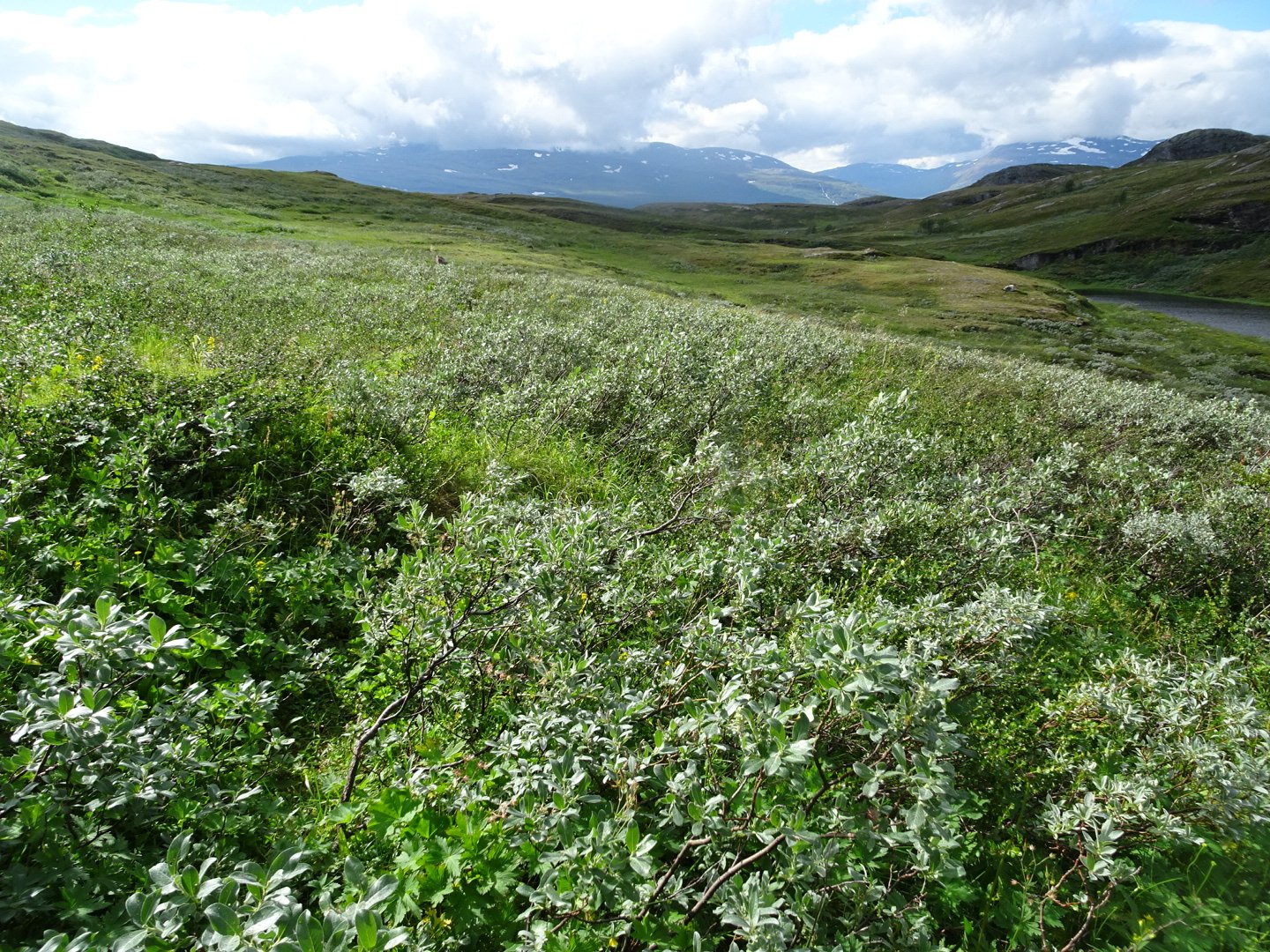
The first 5 min were ok, except my right foot which was sore but then my legs seemed to be drained and I felt tired. While there were no big hills it was a constant up and down and a lot of sidles along the side of steep hills. I felt like I was moving very slowly, and I was compared to normal, but it still was an ok pace. Despite being tired it was pretty scenery
The trail started dropping steeply to a lake through the trees. I did not go down the 300 meters to look at Tjalalvesytta Hut but continued straight at the intersection.
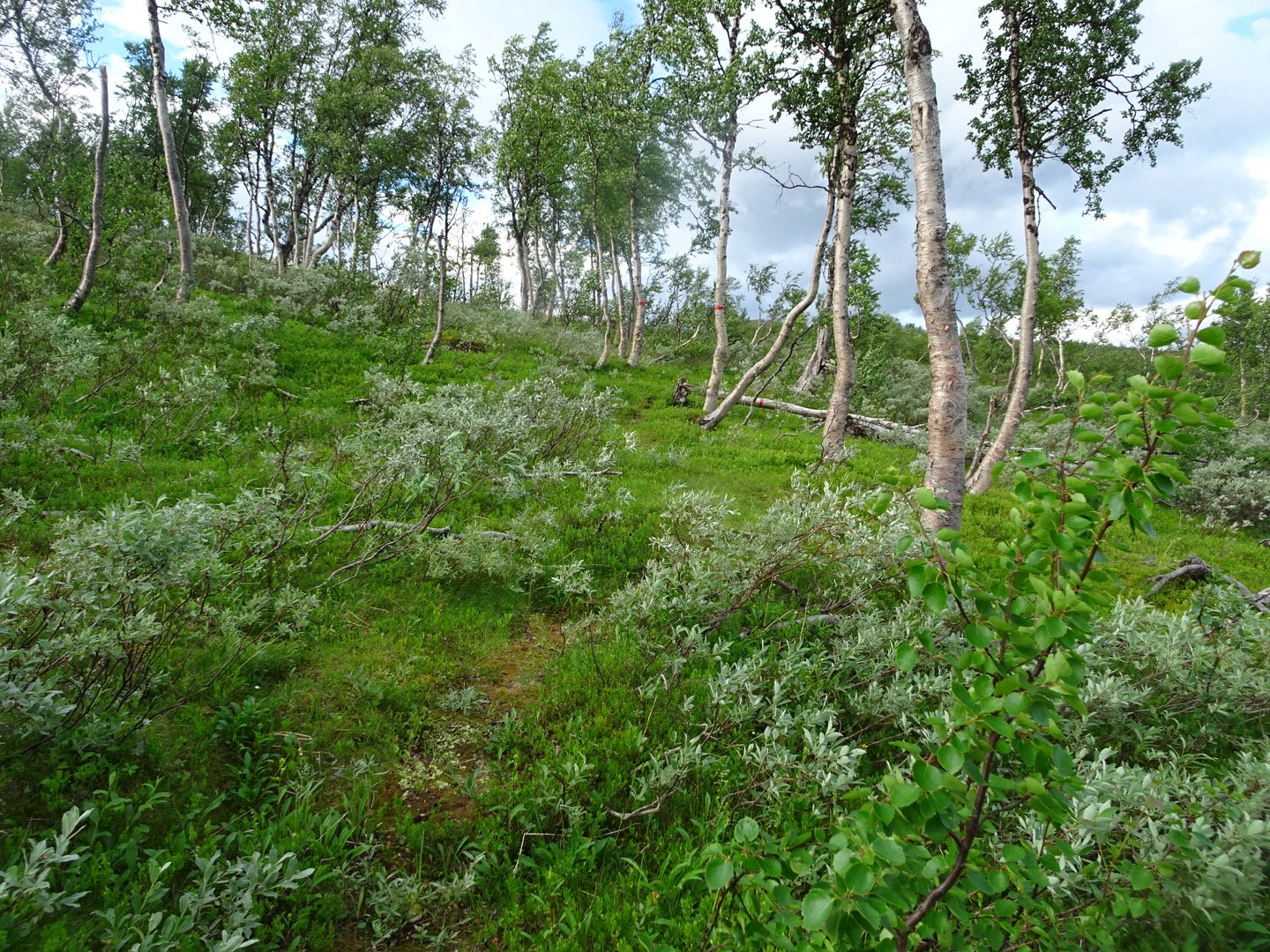
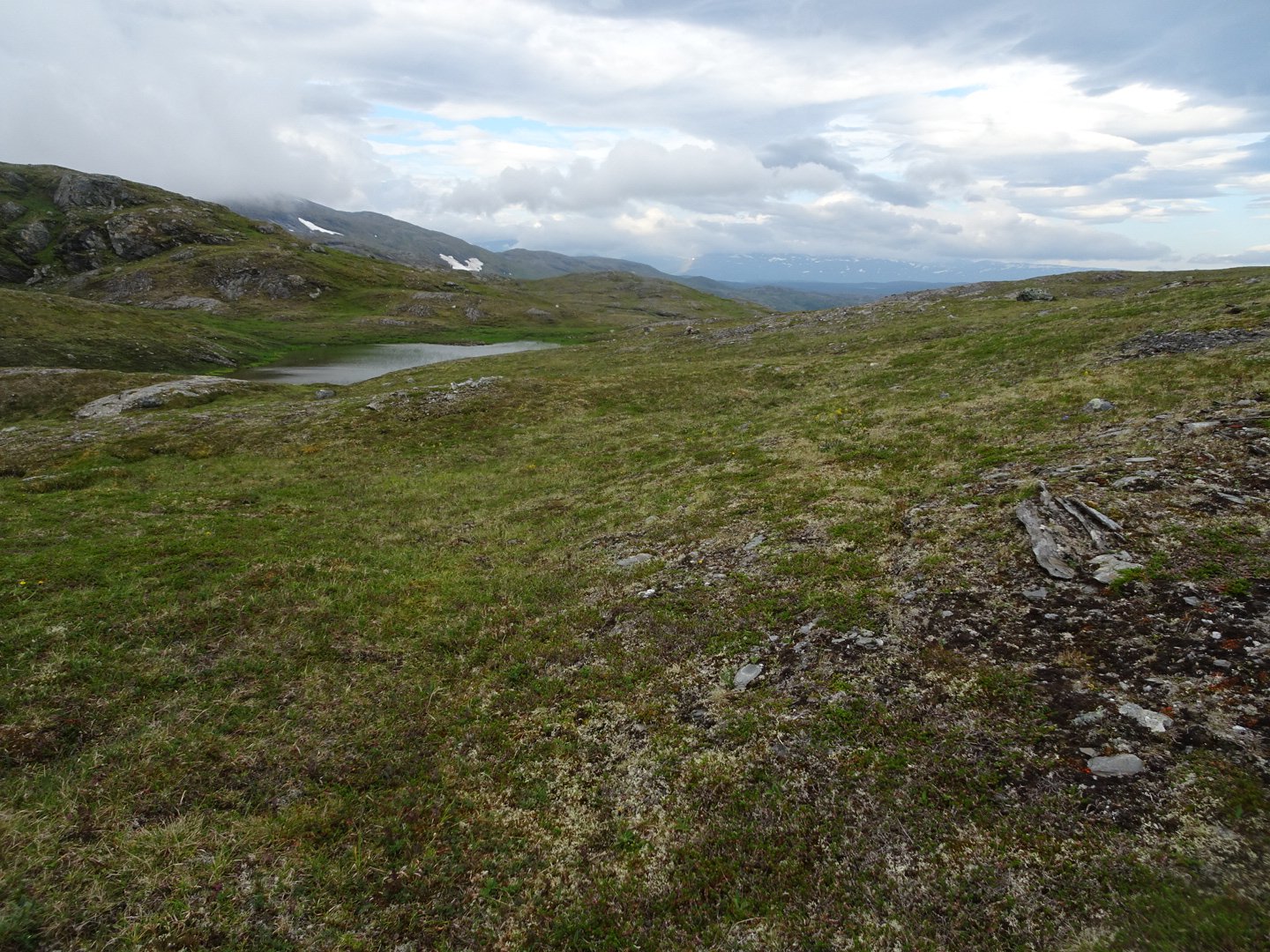
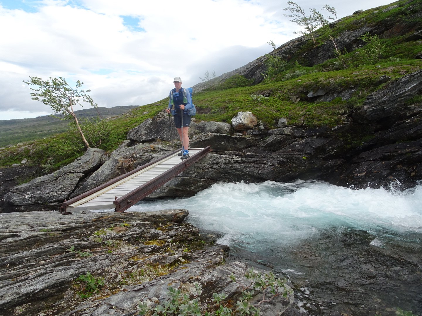
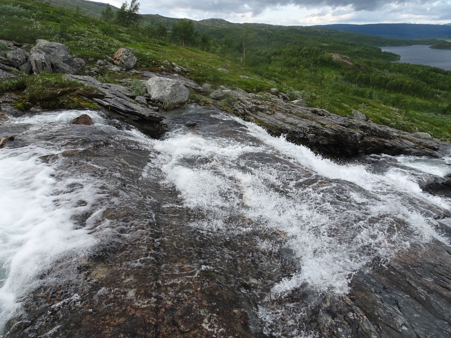
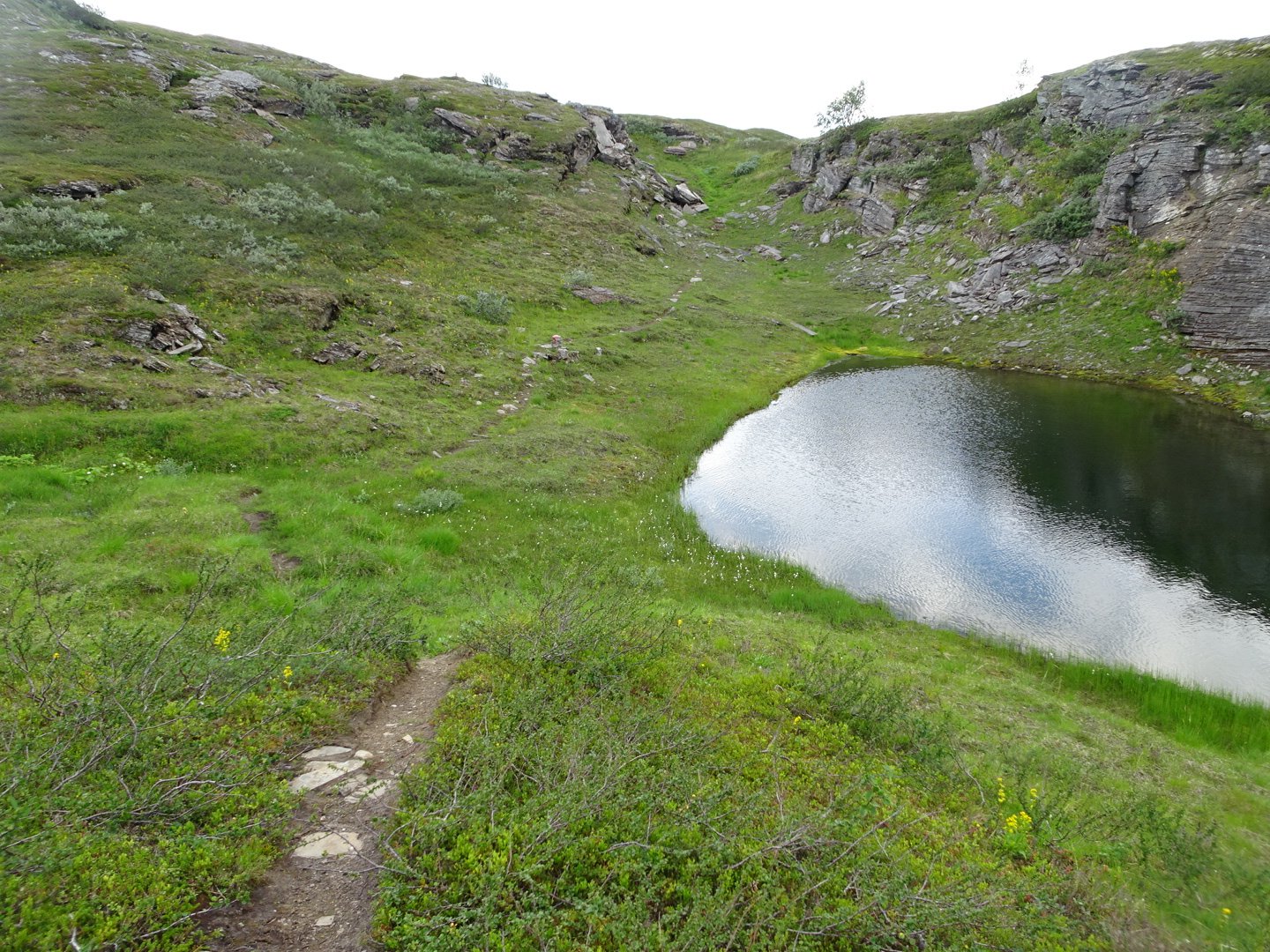
Now there was some faint tracks through the thick vegetation and the trail marking was generally good. I climbed above the vegetation and onto a ridge then followed to the right of the ridge down to a river which was crossed by a bridge. I had quite enjoyed that last part and enjoyed looking down at the tree filled valley to my right and as I got lower a lake to my left.
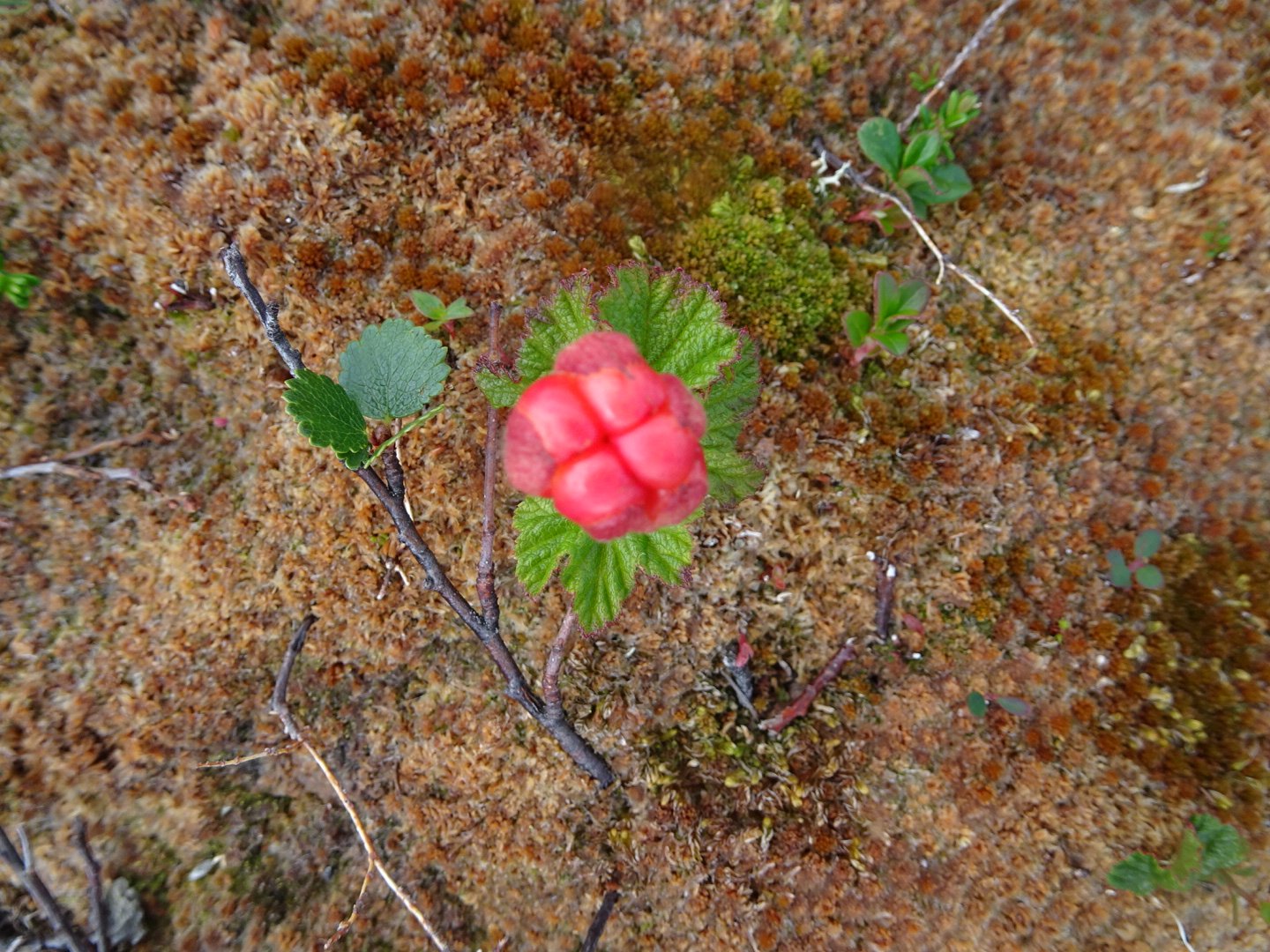
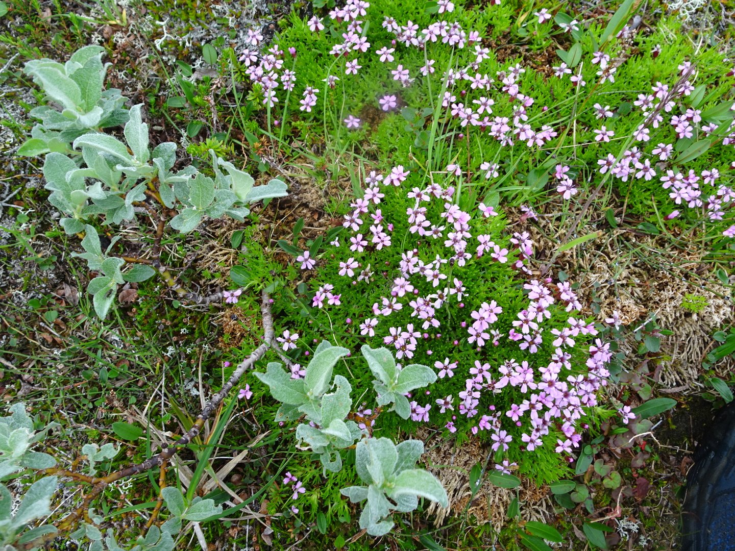
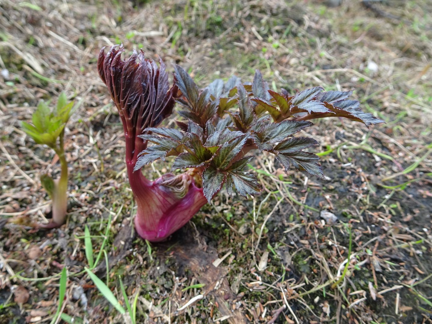
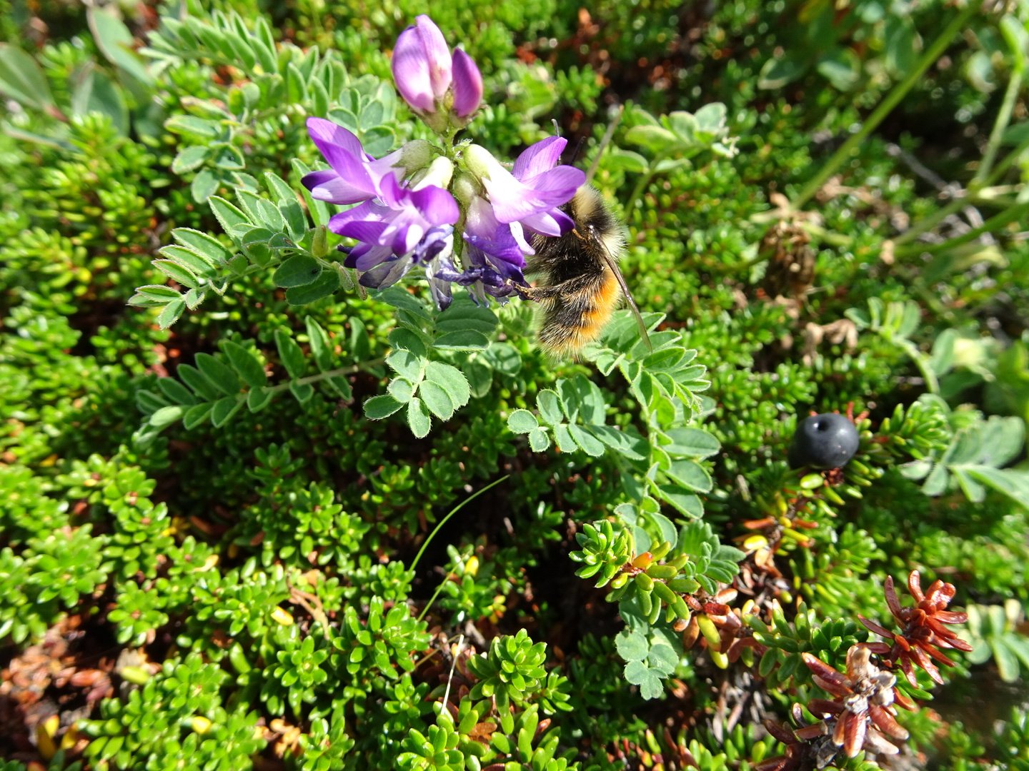
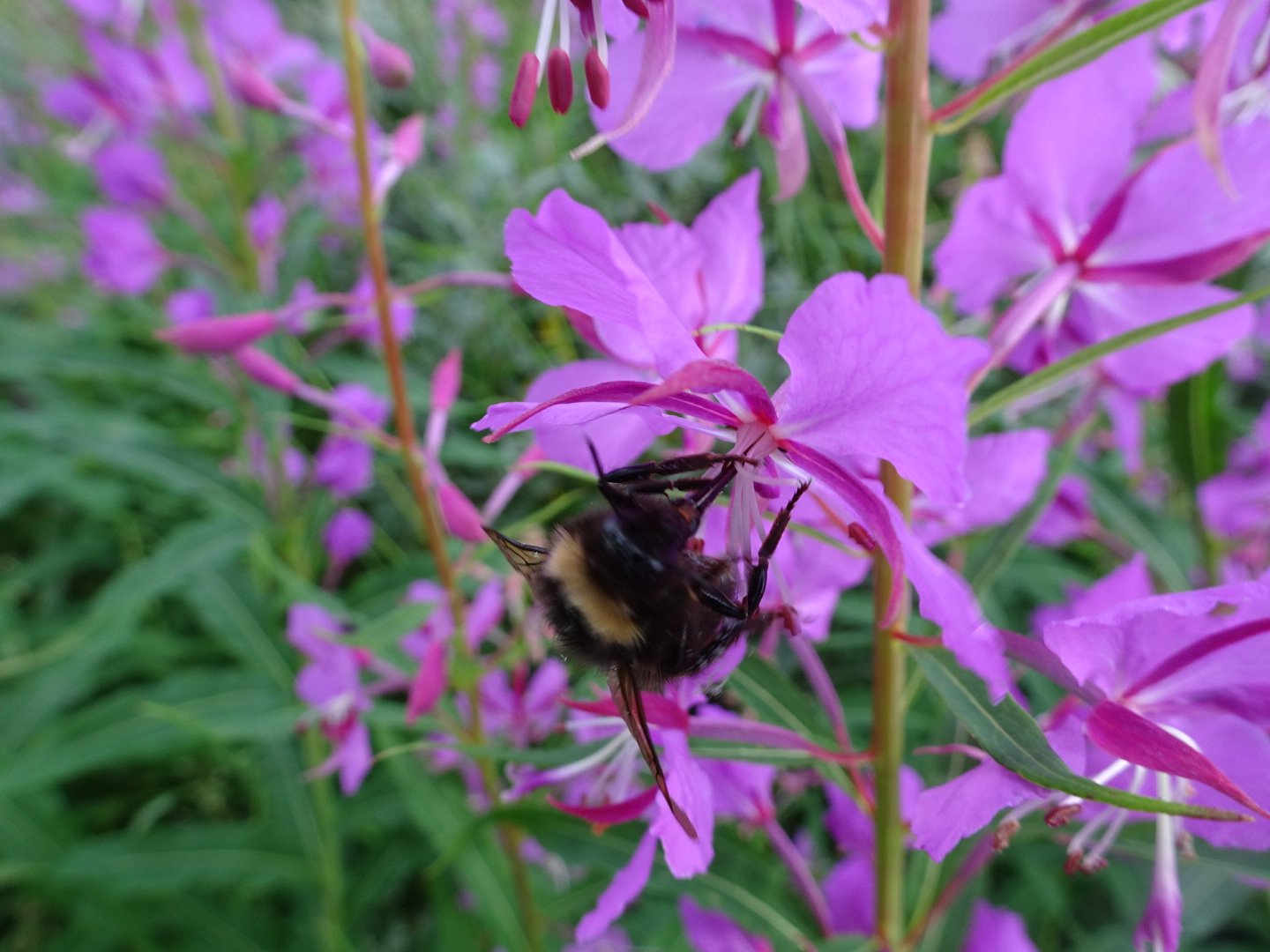
Unripe cloudberry
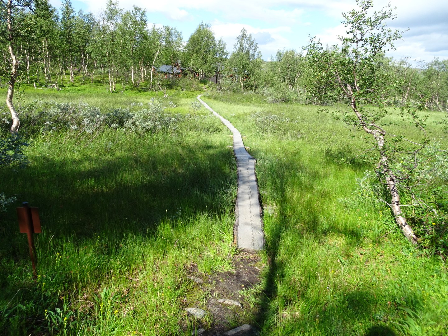
Just over the bridge was a signpost and from here there was a bit more of a track on the ground. The track climbed then followed the same contour around the hill, crossed to the other side and followed that hill.
Now there was another junction signpost and this must be a more popular trail as the track was now fully formed and easy to follow. I still didn’t pick the speed up preferring to keep to my easy pace. My foot was actually feeling much better for the last couple of hours.
After passing a couple of lakes the trail dropped into the trees and came out at Tjoarvhytta hut. I had written it was a 4 bed hut but I think I missed a number in front of the 4 as it was actually a large hut, probably 24 beds.

I had lunch here and stayed to rest for one and a half hours. When I left I was surprised to see cars parked and a road as I had missed that on my black and white map. I was on the road for a hundred meters before turning off on the track marked for Bavasshytta in 19km. Not long afterwards was another intersection and the sign now said 18km, even though I had only come 200 meters.
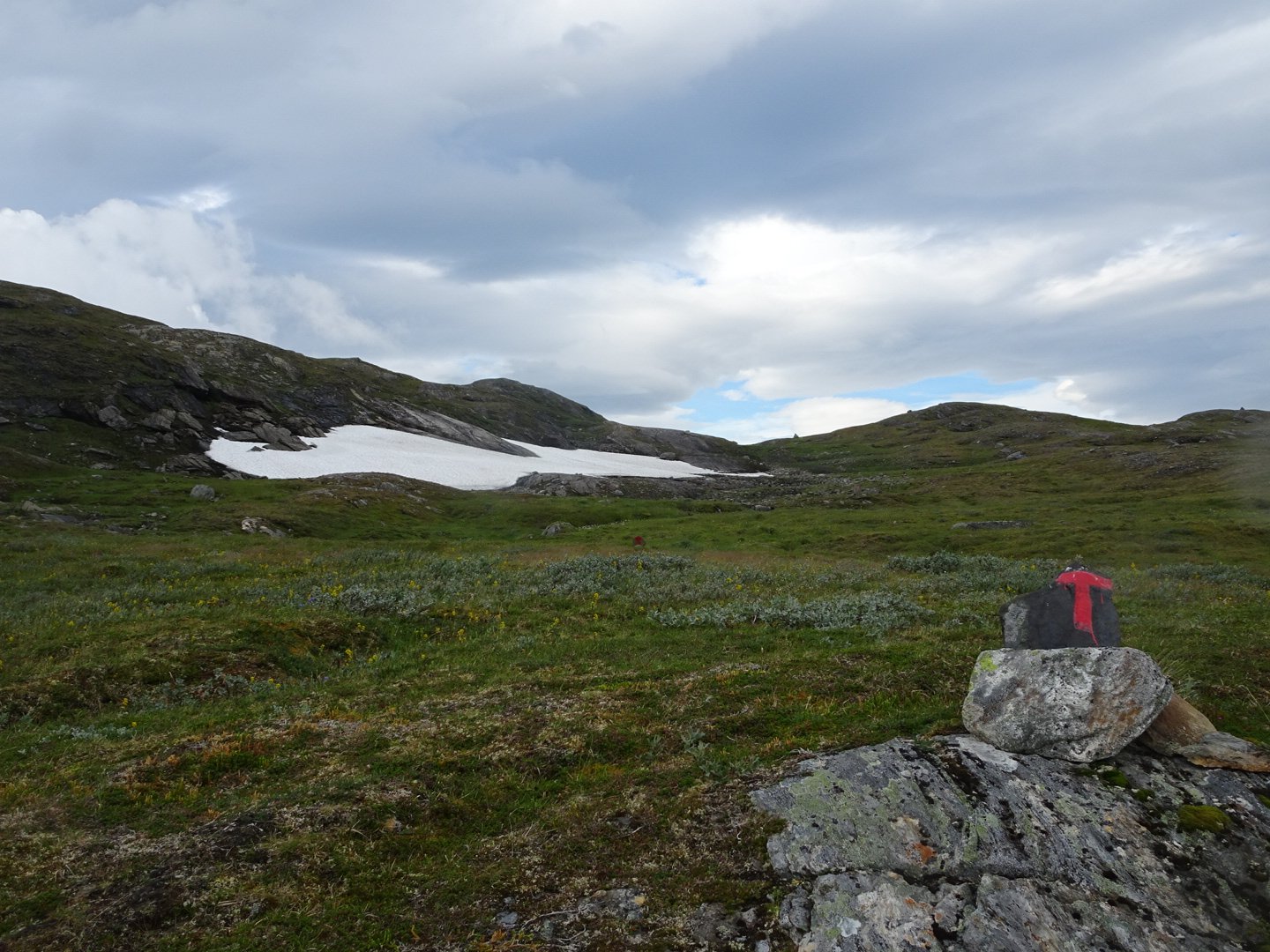
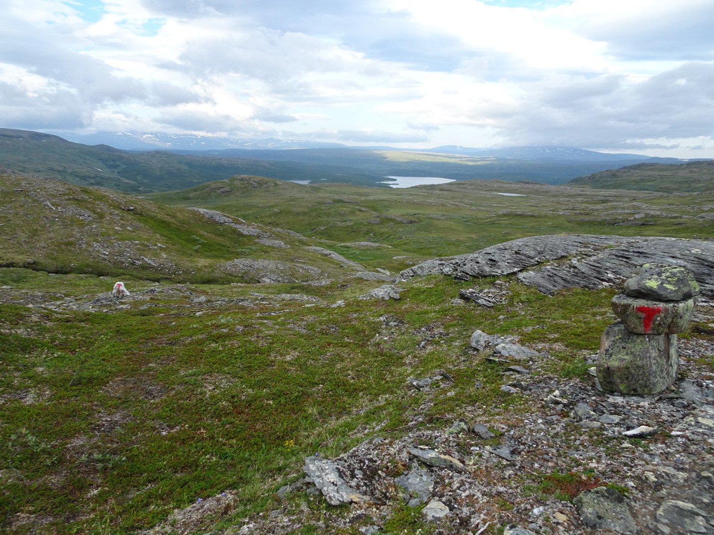
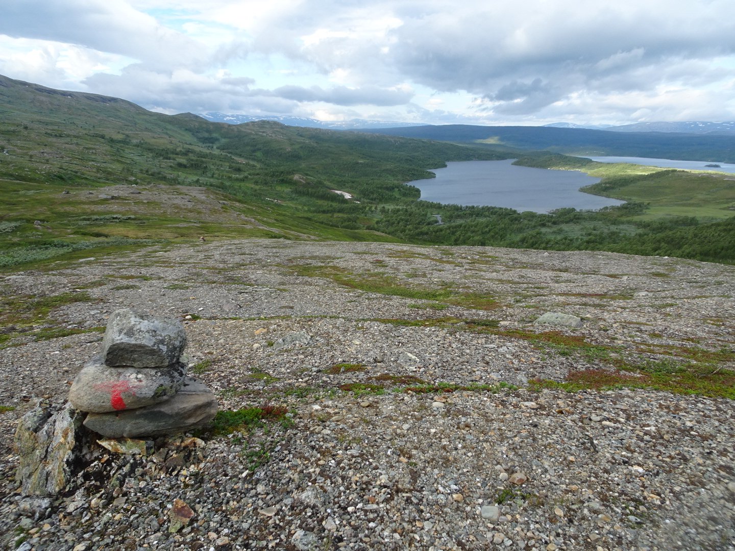
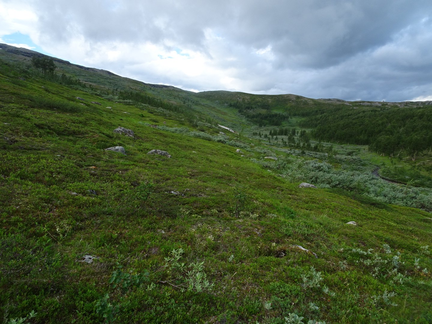
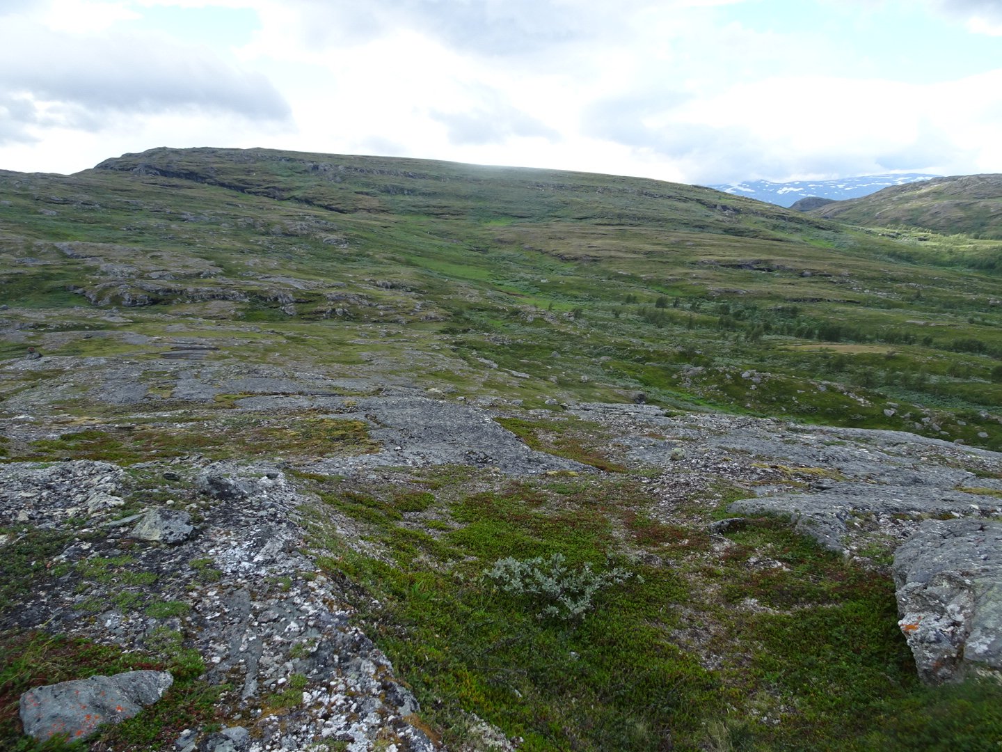
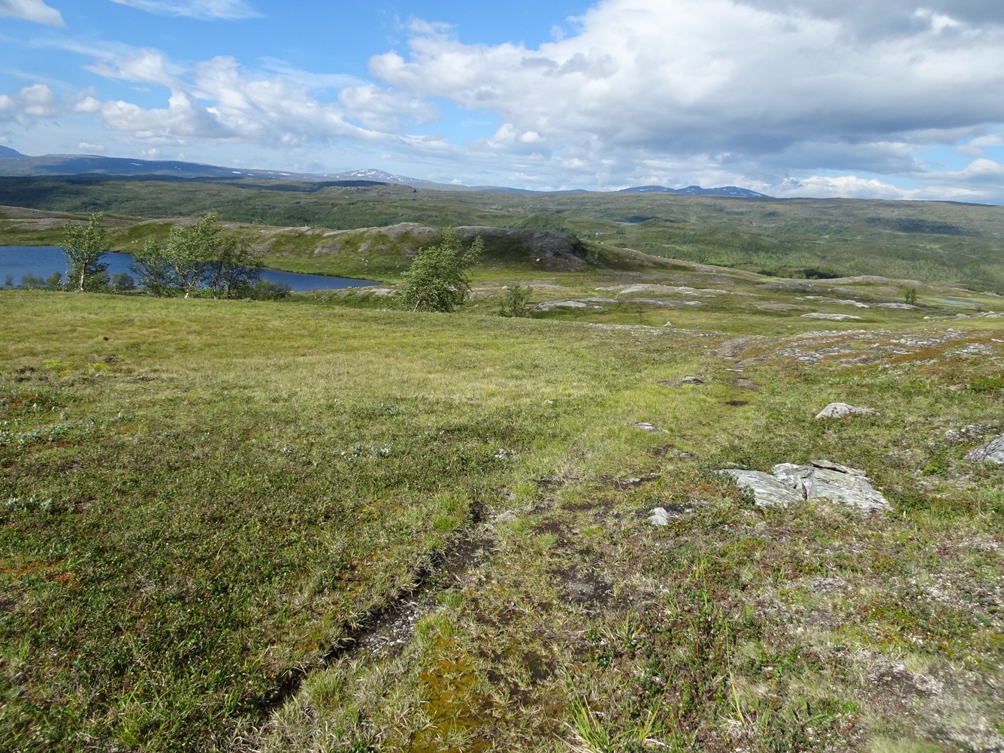
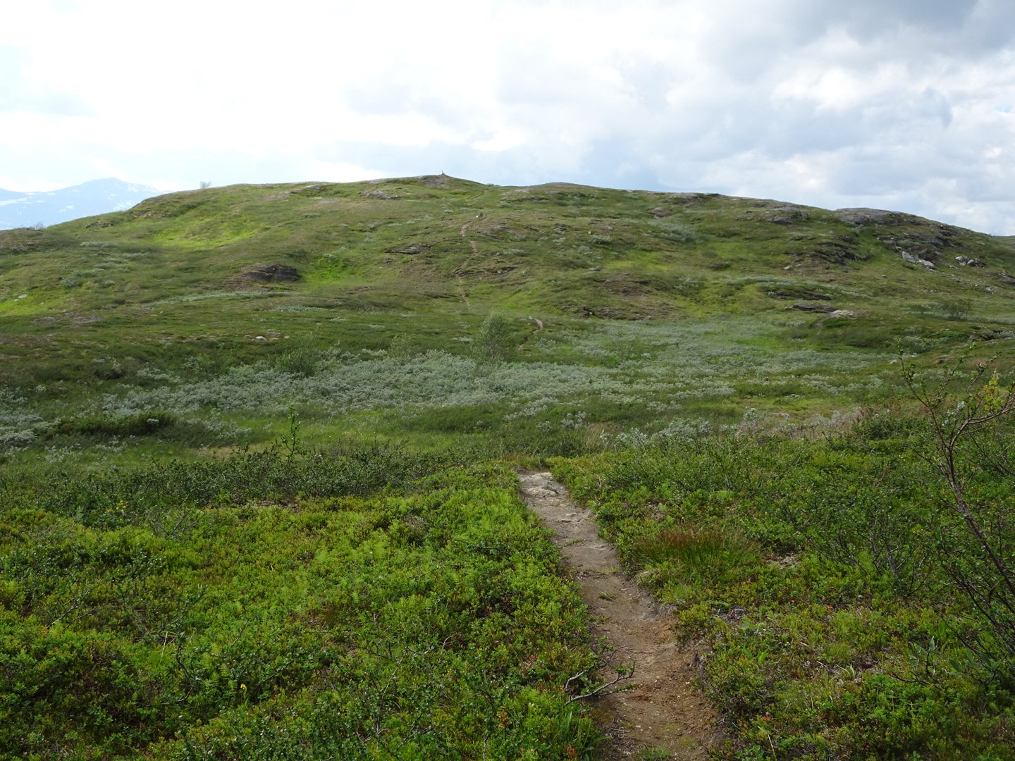
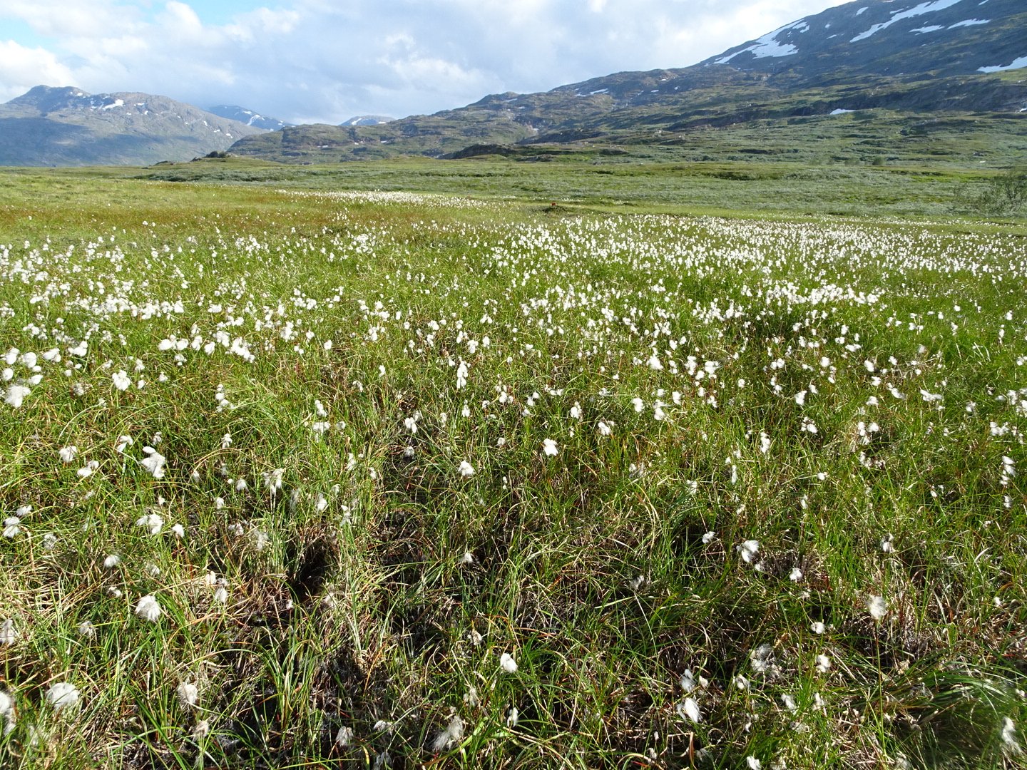
Now the trail climbed up through the trees back onto the open and for the next 11km it was a constant up and down from ridge to swamp valley and back to ridge. There was a bit of a track but only through the vegetation around the swamps and nothing on the tops, not that it was needed on the short alpine vegetation.


After a junction the track improved significantly and was now a well defined and well populated walking track, still going up and down constantly. In the distance I could see the mountains I was heading too but they never seemed to get closer. This is the frustration of wide open terrain that you do not get a sense of progress as things seem to take so long to get to. Along this part I crossed the 1100 mark.
I was feeling really tired and finished off my last OSM bar but this did not give me the energy push I wanted. My pace was pretty slow but it didn’t matter, it is not like it gets dark.
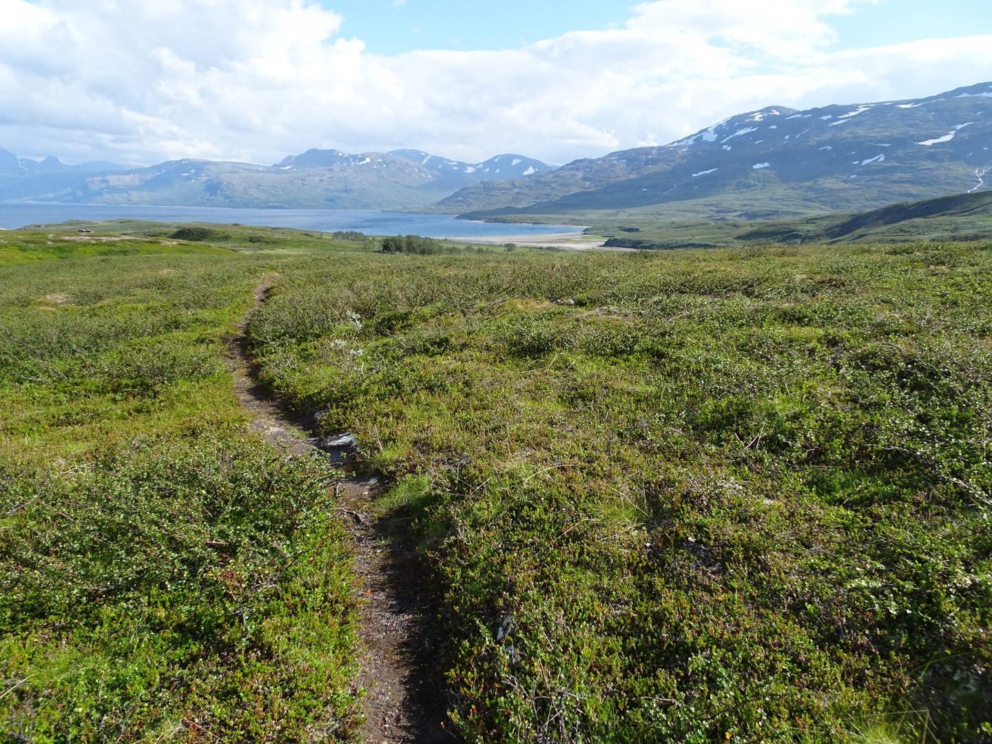

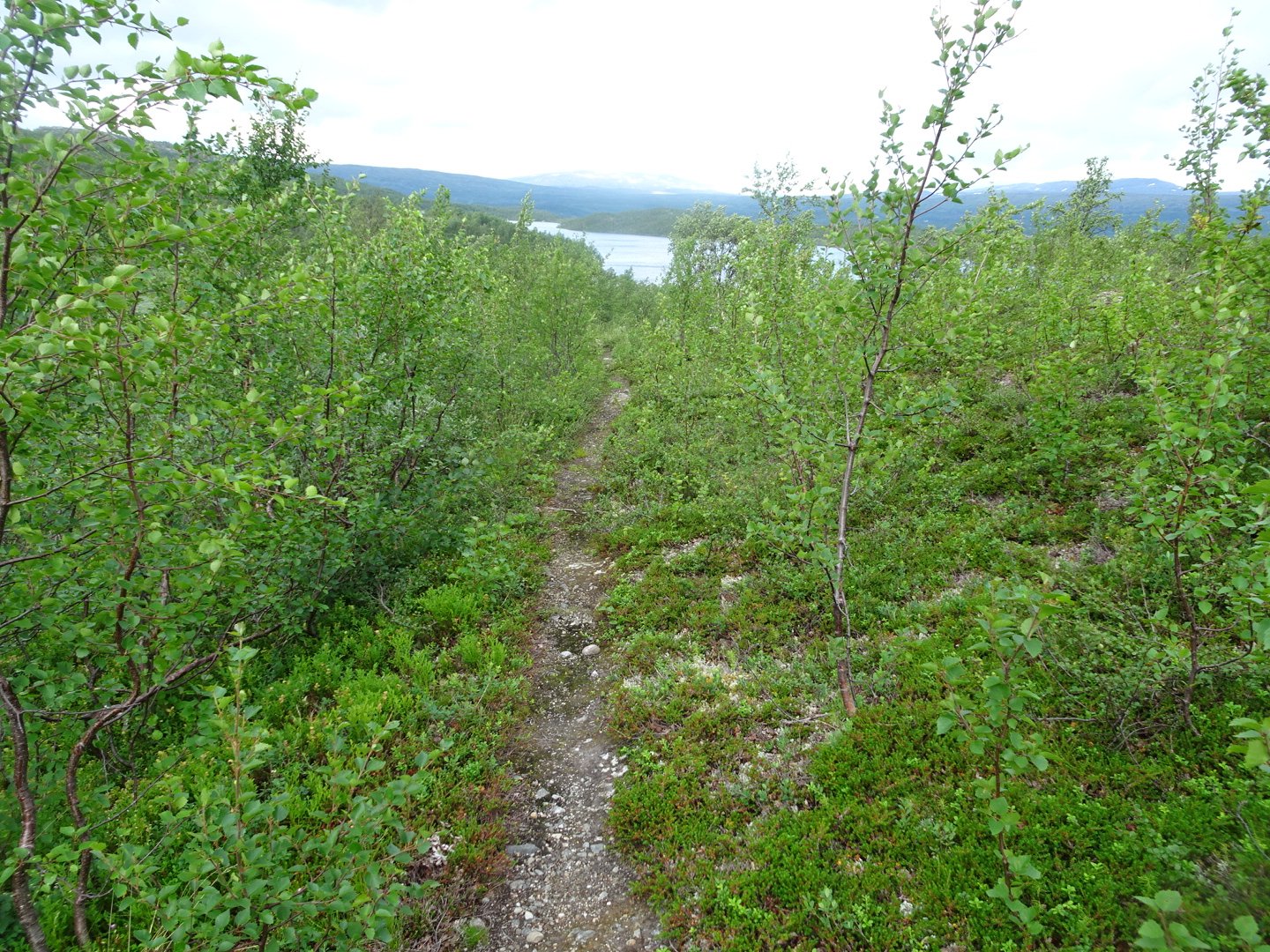
Once at the mountains the trail now followed the edge of Lake Balvatnet. It was good to start then went though a large area of swamp, some of which was quite deep. Also at this part the Kleg (biting Flies) made an appearance and were very annoying anytime I stopped, and even when I just slowed down. Once past the swamps it was onto a rocky part, then a lovely trail for a few hundred meters to a part with lots of vegetation about knee high which was overgrown over the track and scratching my legs as I pushed through. Finally through that part and it was a bit more open and a few swampy bits down to the head of a valley.
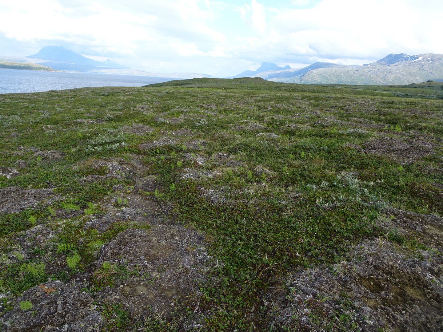
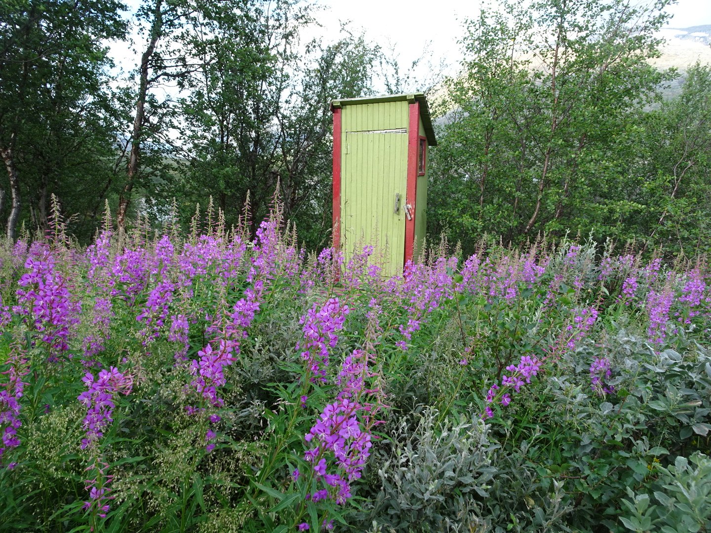
The wind was howling through the valley. It was a narrow valley for the next 17km and I did not like my chances of finding a sheltered spot for my tent so I decided to go to the Balvasshytta Hut just a km around the lake.
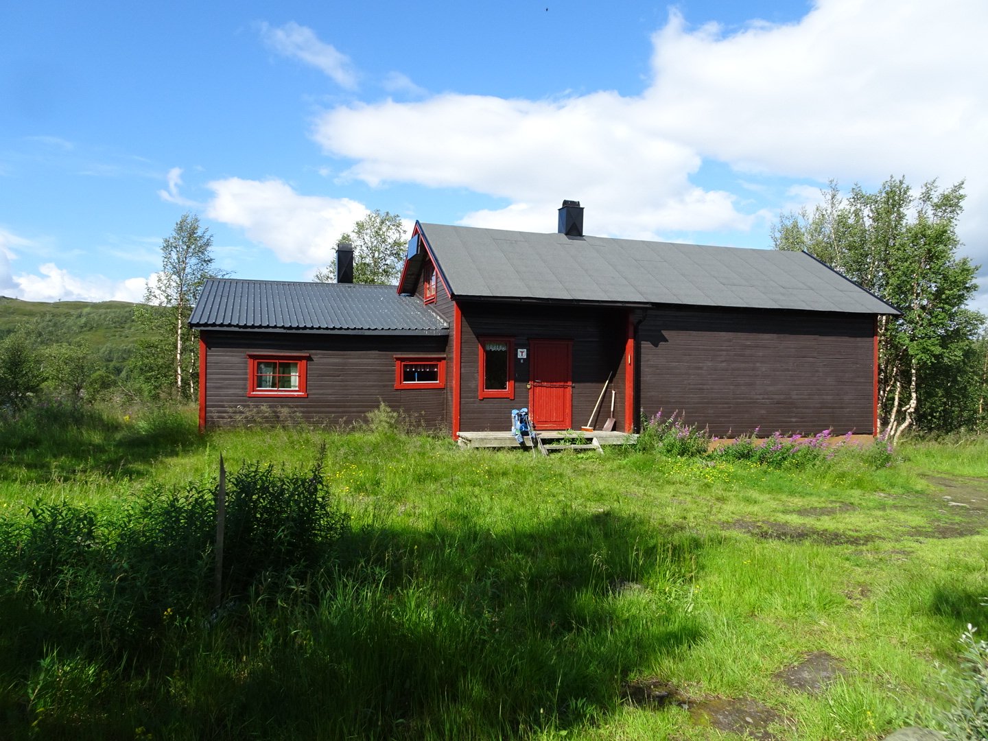
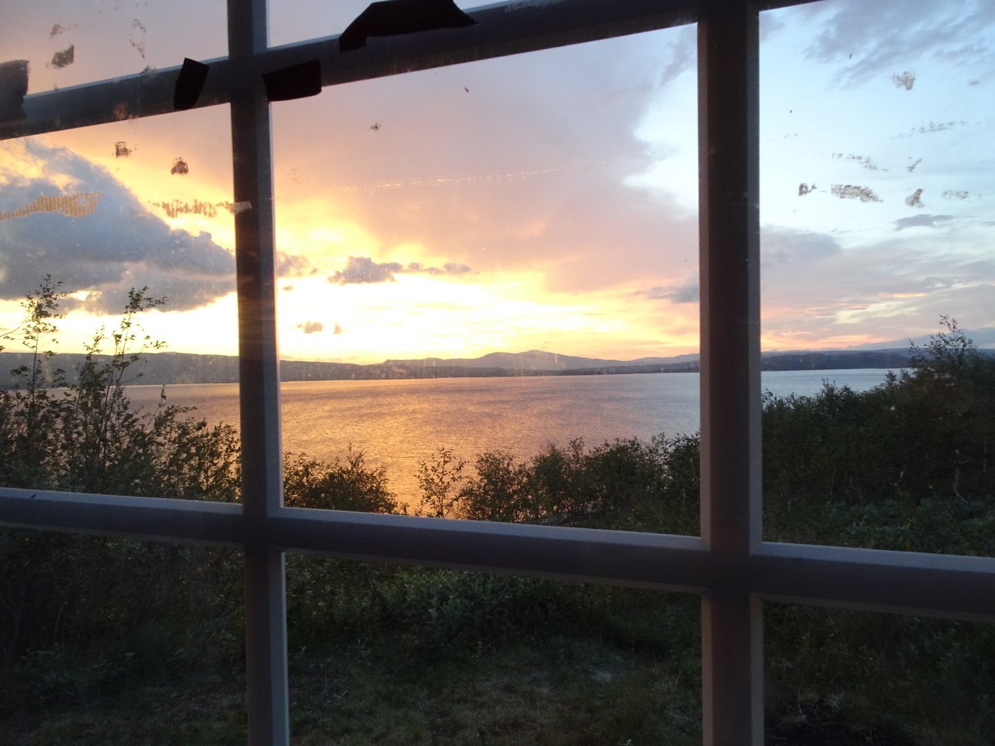
There was no one else there in the cute little 4 bed hut. I made the most of a larger pot for my improvised dinner of; instant soup, olive oil and instant potato. It filled me up but I am not sure if it will have the energy that a normal meal would have.
It was nice to pull out the last two maps knowing I was close to civilisation. Tomorrow will be around 30 km and then only 10km the next morning to the road where I can hitchhike to Rokland where hopefully my package will be waiting

Visits: 387