
Day 42 – 31 Jul, Balvasshytta Hut to Flatviskis
(28.5km, total 1141.5 km, 10h 10m, 0800 to 1810)
I slept ok, probably the best I have in a hut. It was a nice sunny day and I was packed up quickly, partly due to having no breakfast as there was none to be had, and on my way. I waked along the lake edge back to the bridge the back onto the trail to the intersection. The wind had died down and it was pretty hot.
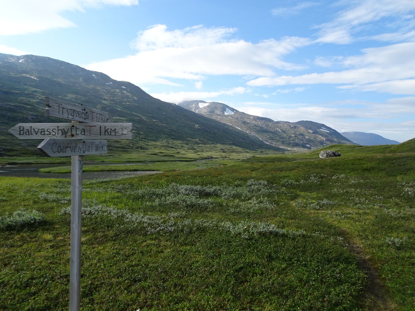
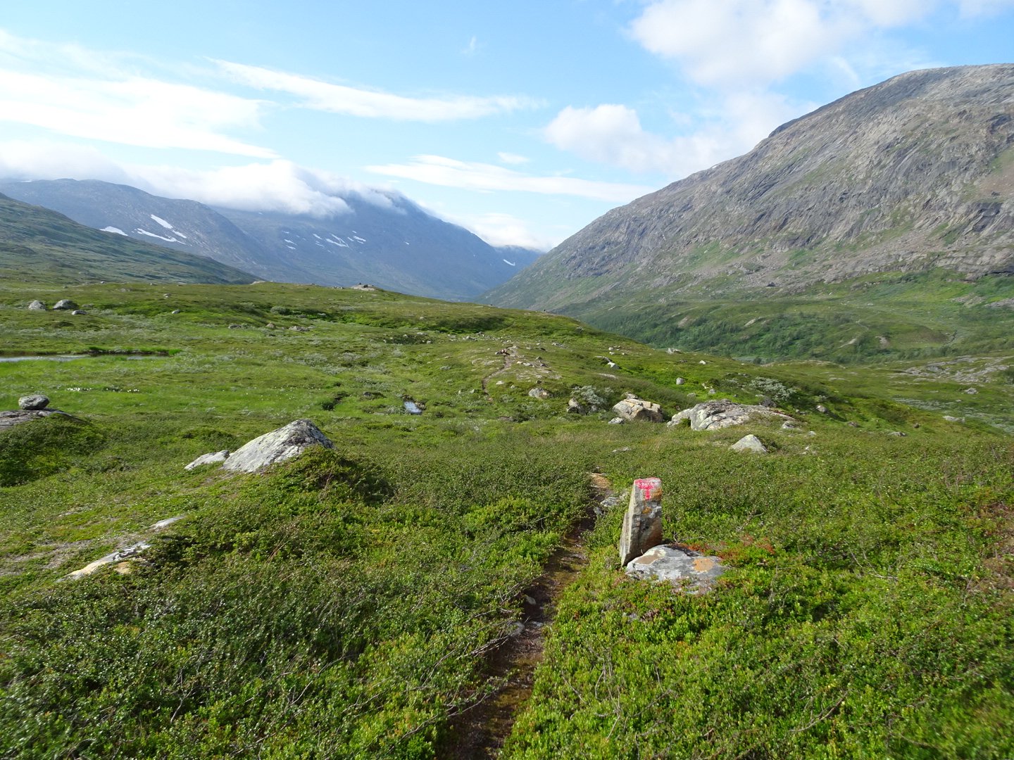
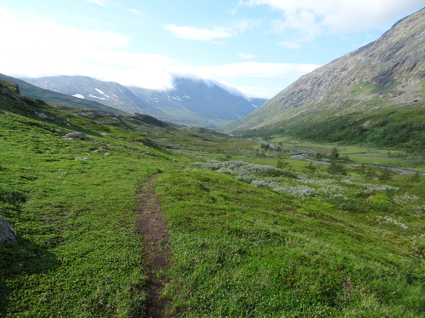
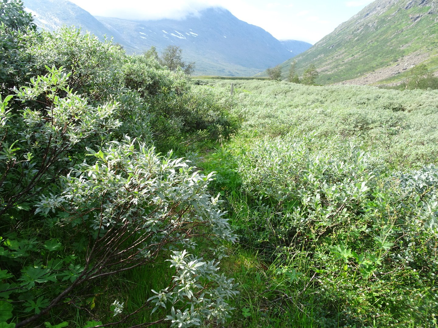
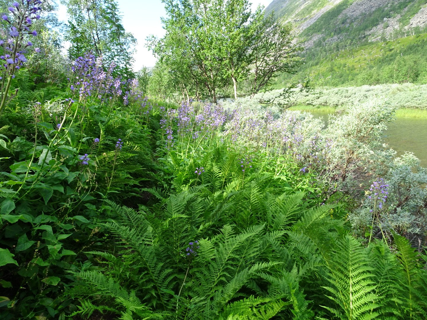
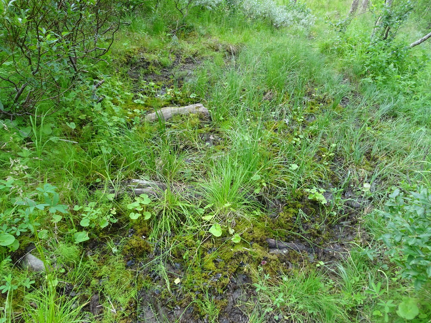
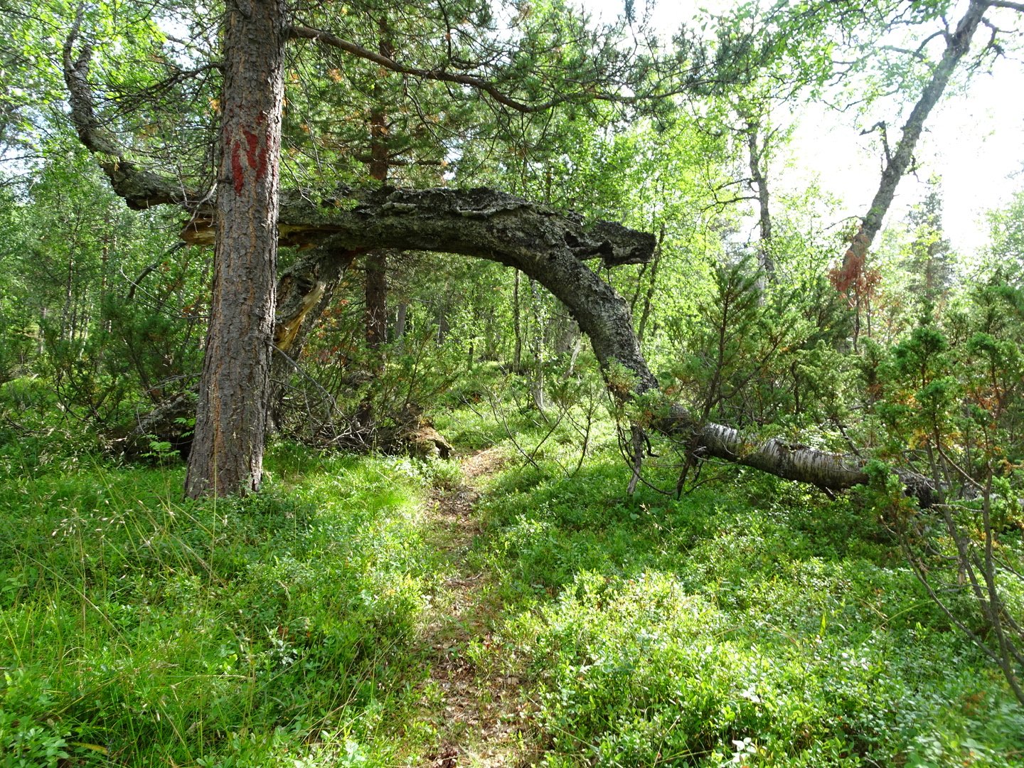
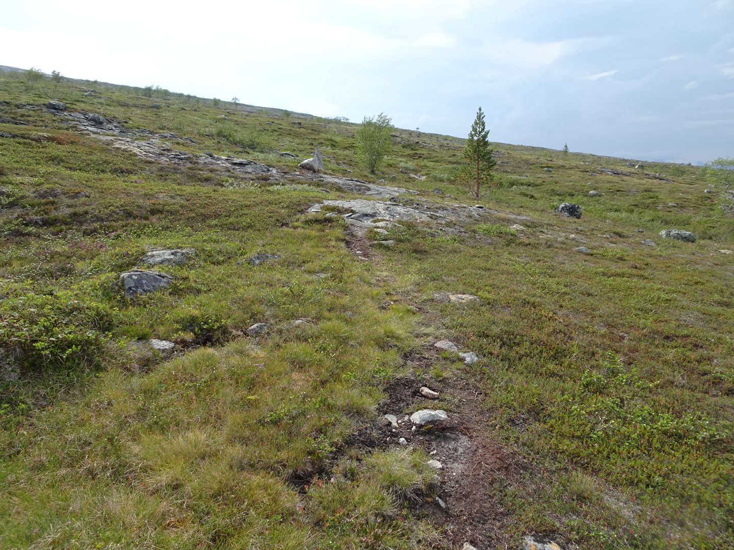
I was expecting today to be pretty swampy as it was travelling on the bottom of a valley but I was pleasantly surprised. The trail started with a clear, though overgrown track on solid ground, up and down hills small enough not to register on the map. I was feeling ok with only a slight twinge in my foot occasionally.
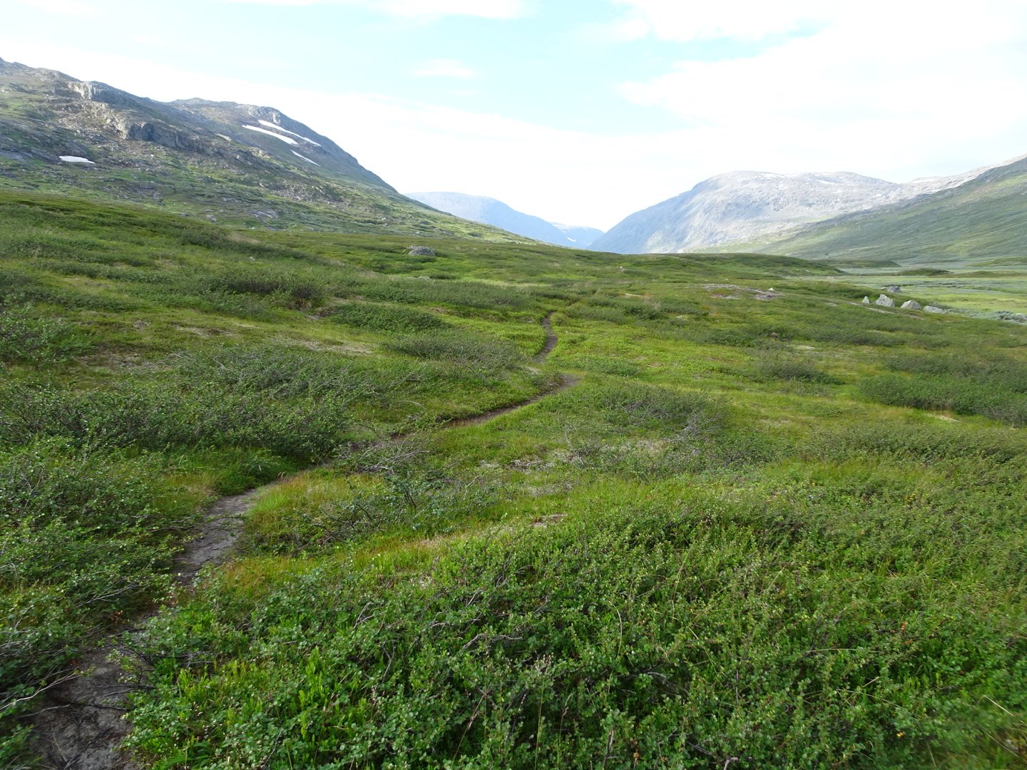
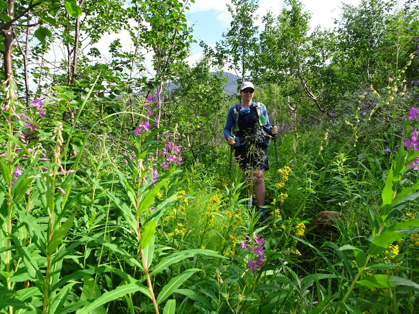
The only issue was with the vegetation overgrowing the track. This was scratchy and I had to pull my socks up my shin to try and get some protection. There were a few stream crossings but most of the were dry feet crossings. The trail was gradually climbing and then almost unnoticed started dropping. I only noticed as the river to my right was now flowing in a different direction.
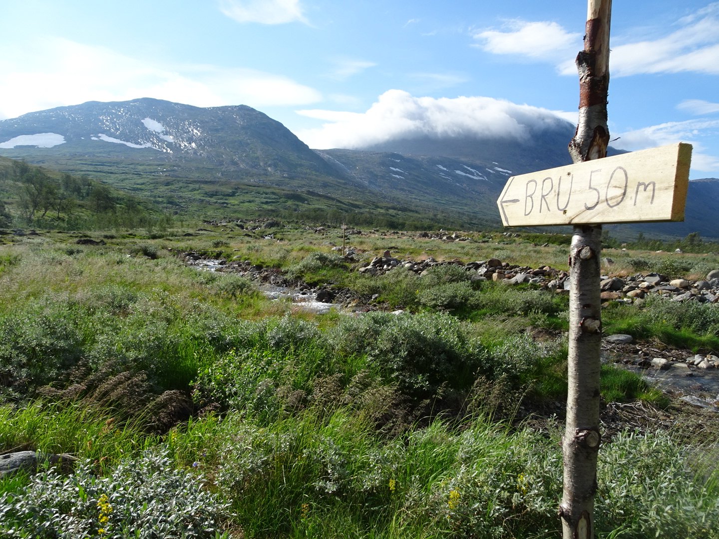
The trail then started dropping a bit steeper and the vegetation changed to a taller, and less scratchy type. I had a laugh when I saw a sign for a bridge only 50 meters away and in plain sight. On the other side of the river at almost the same distance the sign said 100m too the bridge, once again that was in plain sight.
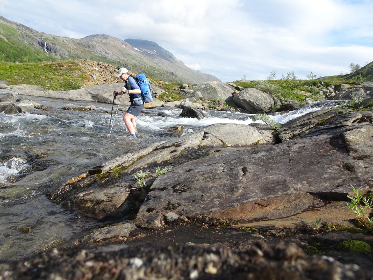
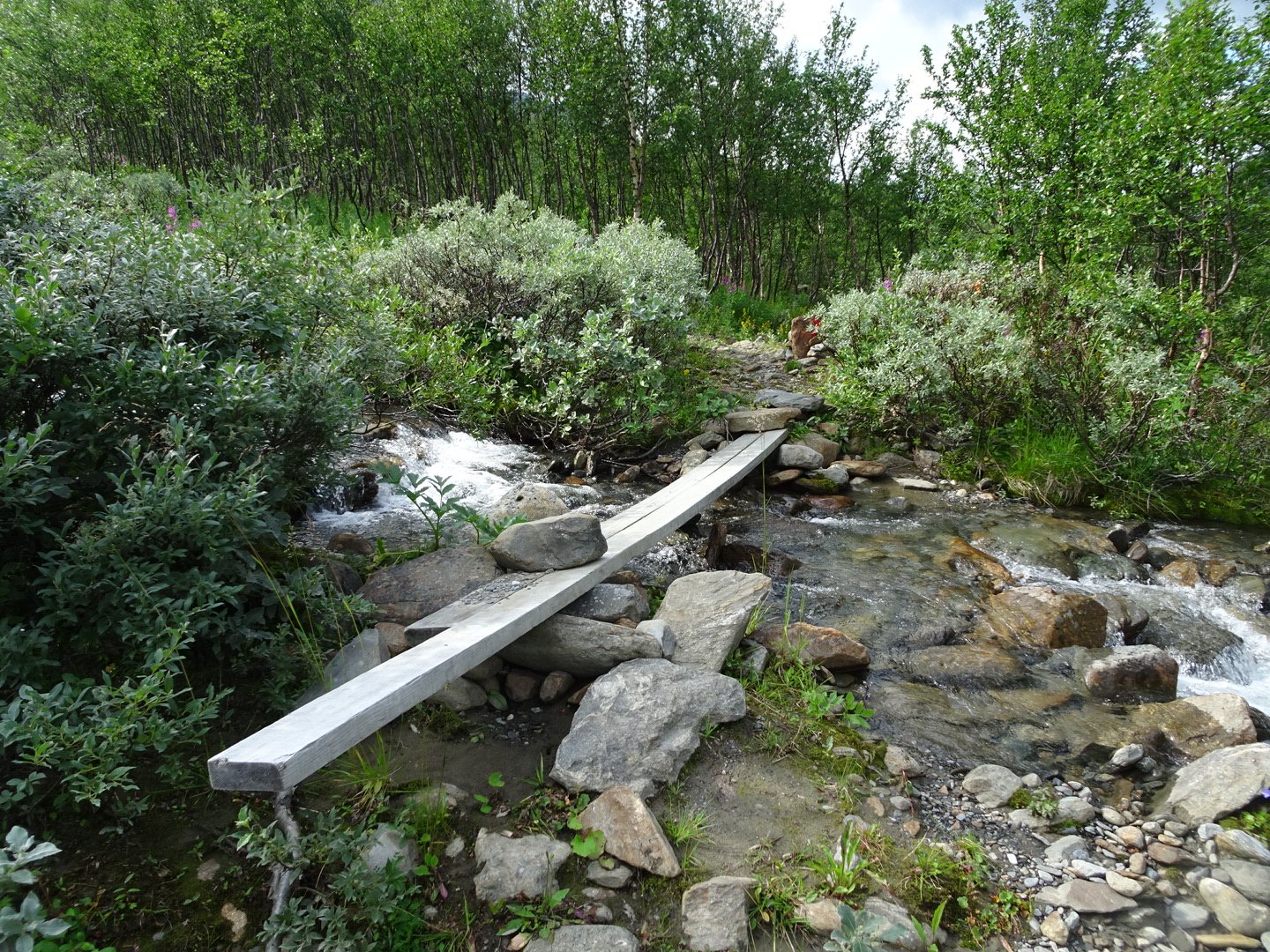
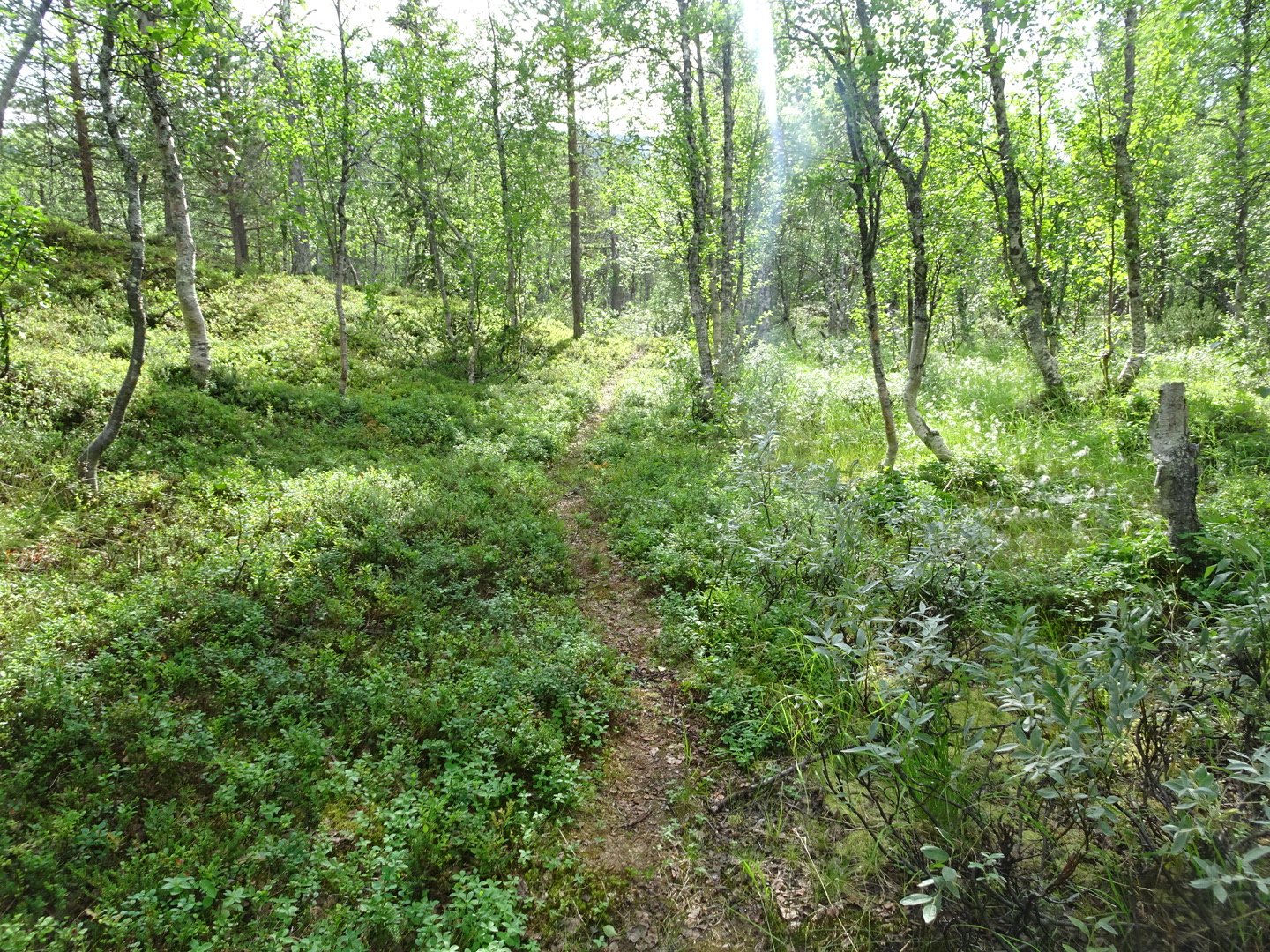
There were a few more bridges as the streams feeding the river started to get bigger. As the track lost height the vegetation changed to scattered trees and then full forest.
The trail got closer to the main river and I could see a grass roofed hut which was Agaladhytta Hut. The track was a little wet and rougher as it sidled above the river too the hut. Up close there were two huts with grass roofs and flowers growing in the grass. They were placed above the bend of a river where the river was calm and deep. One of the huts was der and there was a newer one with a toilet attached to the hut instead of a distance away like normal.
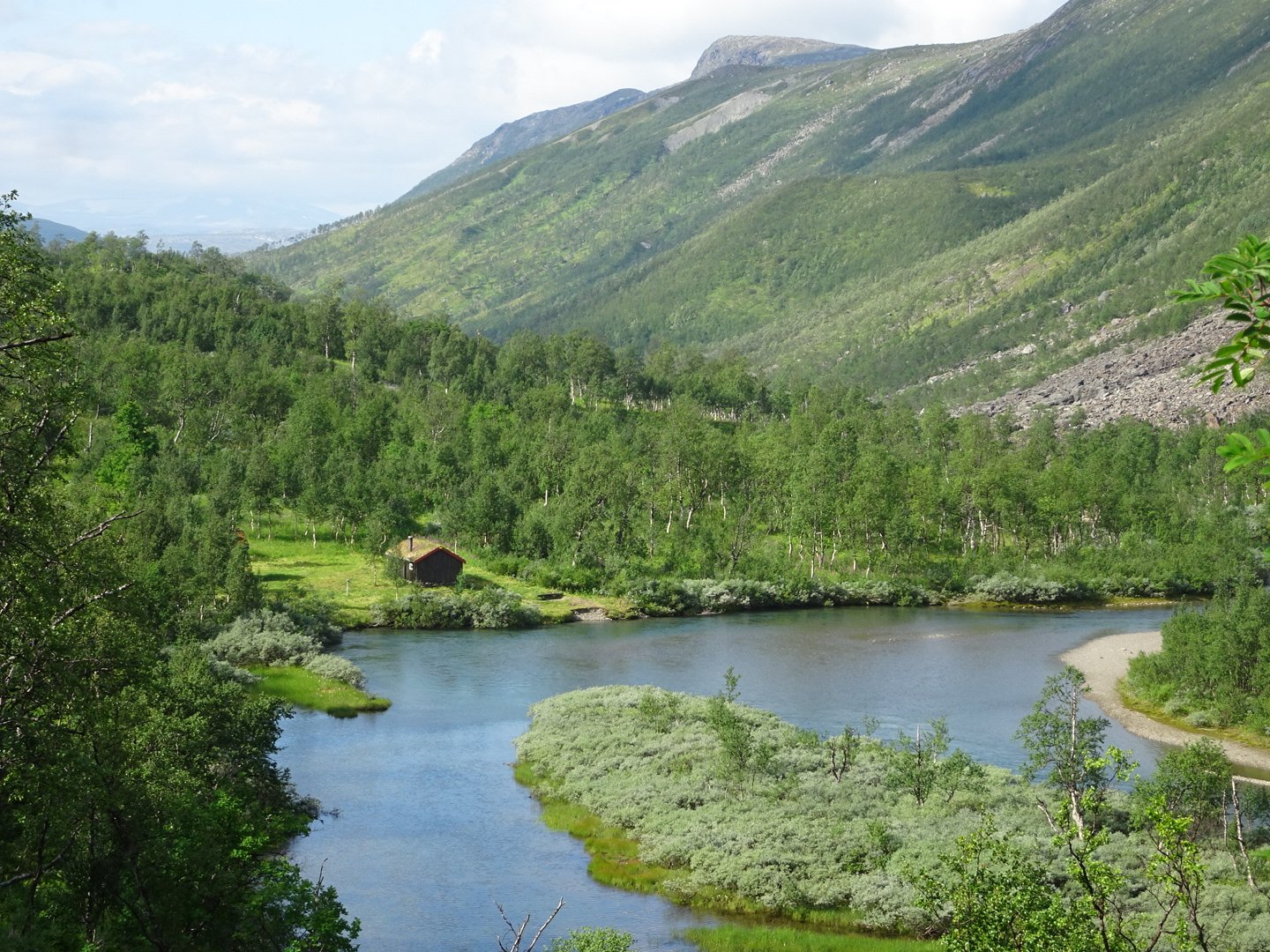
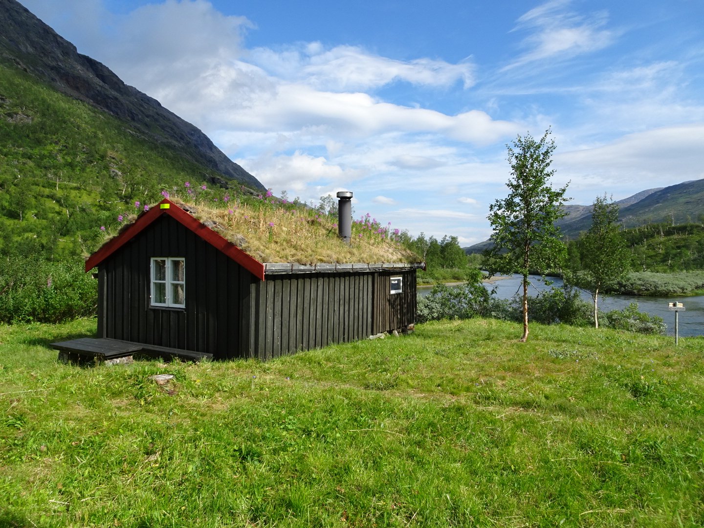
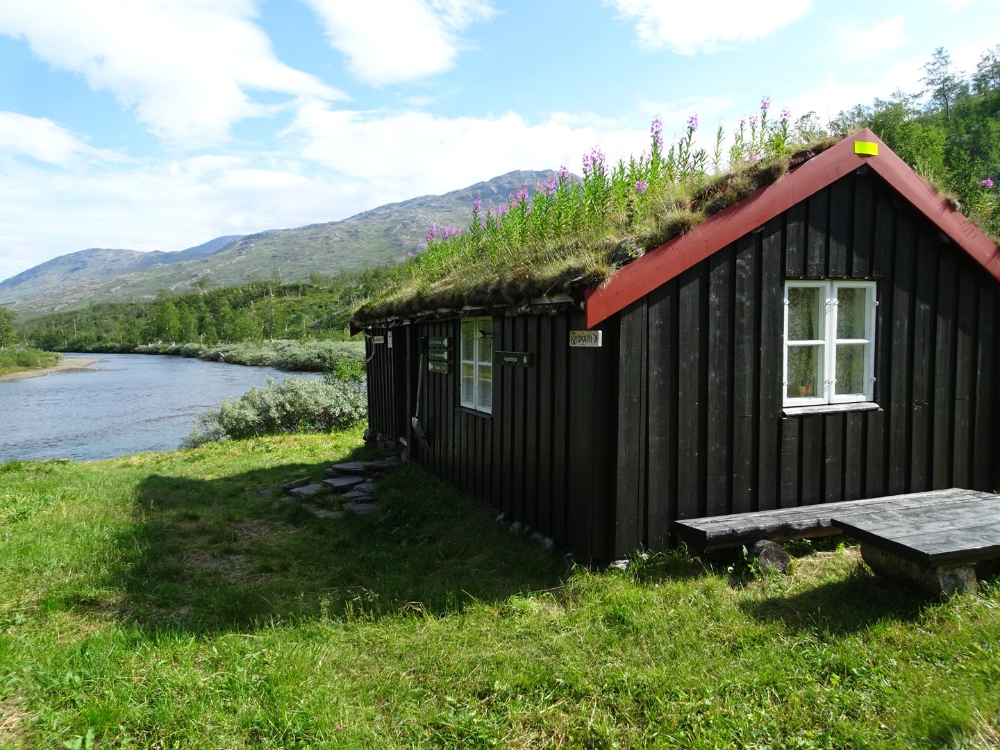
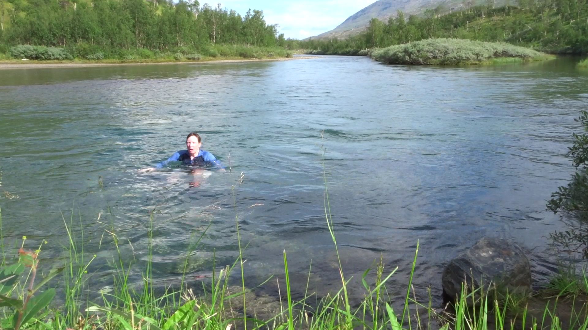
I had lunch sitting in the sun on the deck and then went for a swim in the lake. I was really hot and very quickly cooled down in the freezing cold river. As I got out of the river the sun disappeared behind a cloud and it was very cool. I didn’t hang around any longer and left what was probably the prettiest and nicest location of all the huts I had seen.
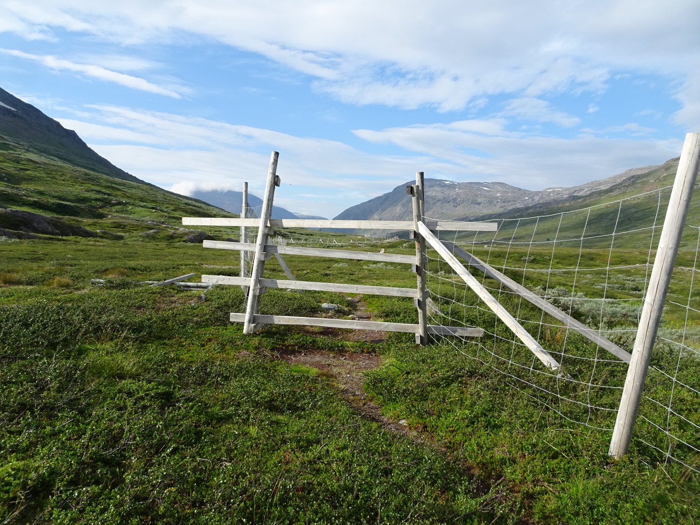
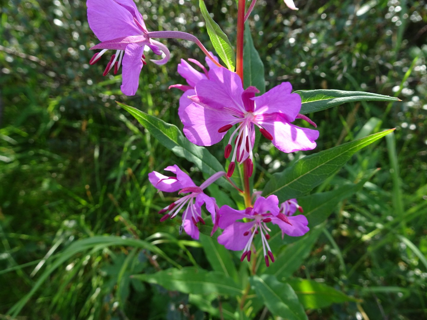
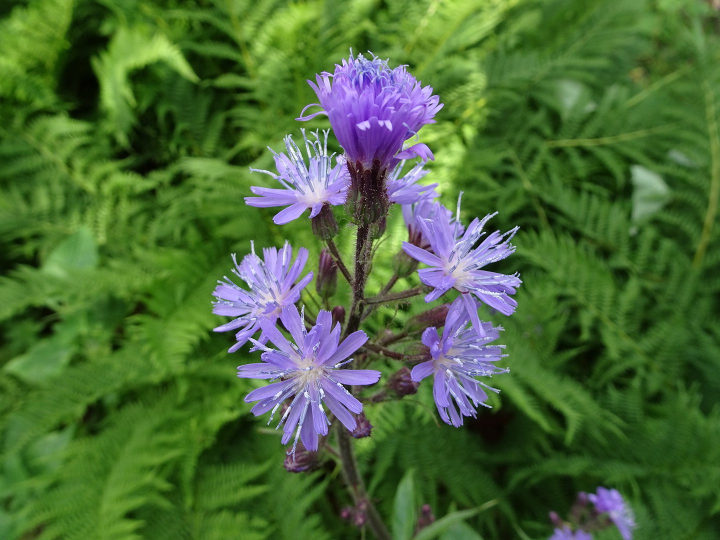
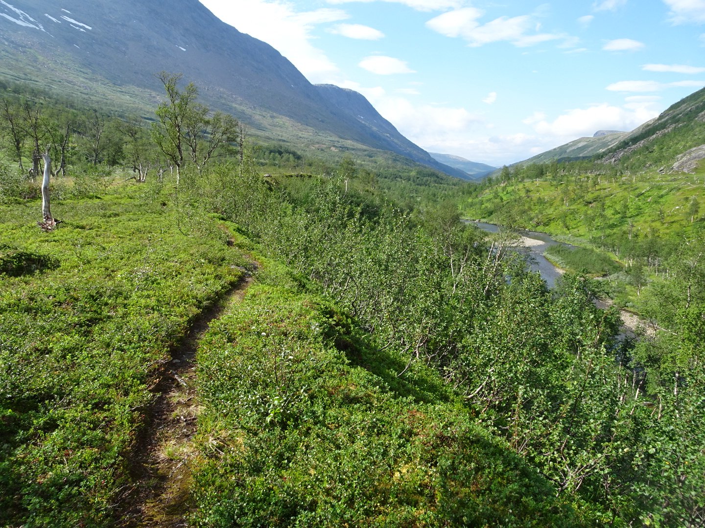
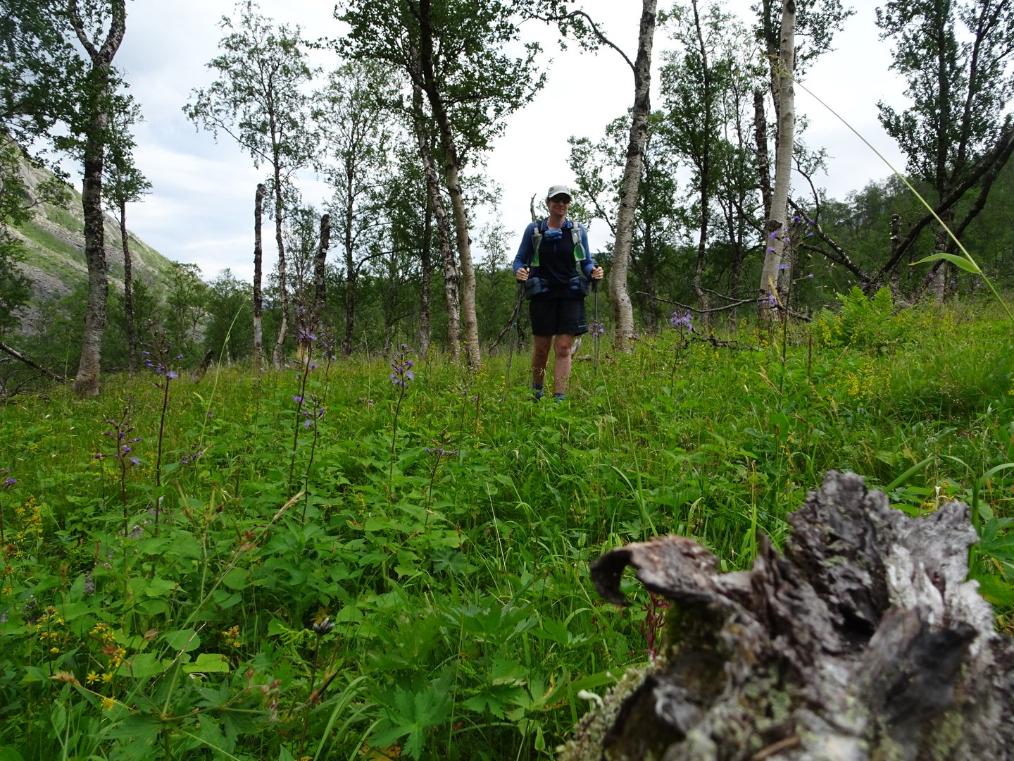
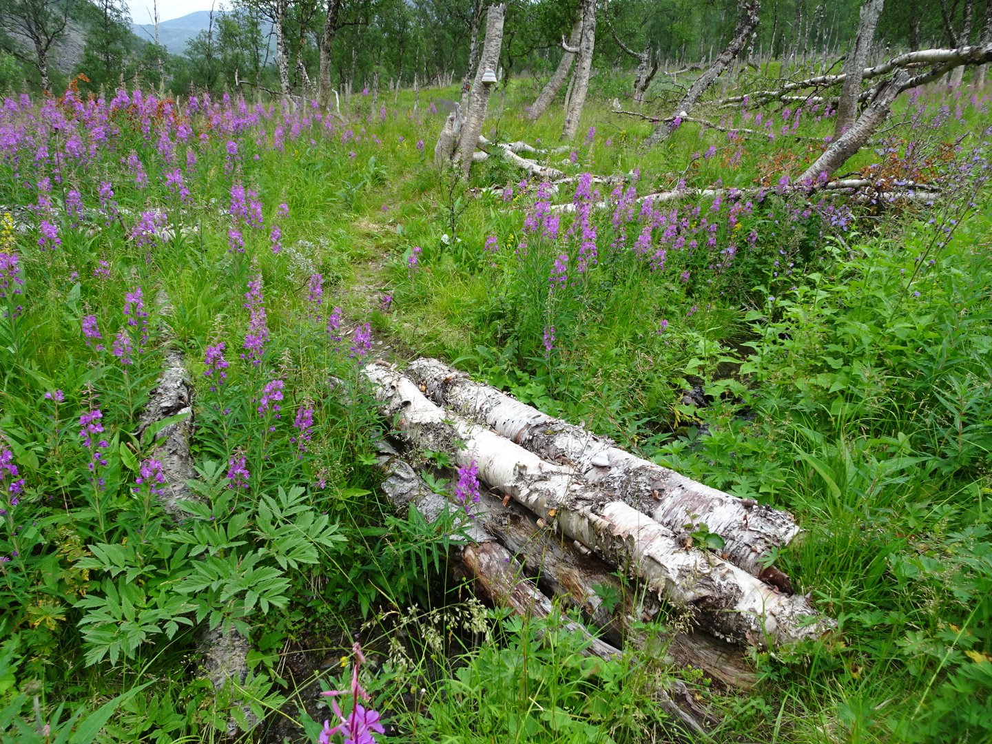
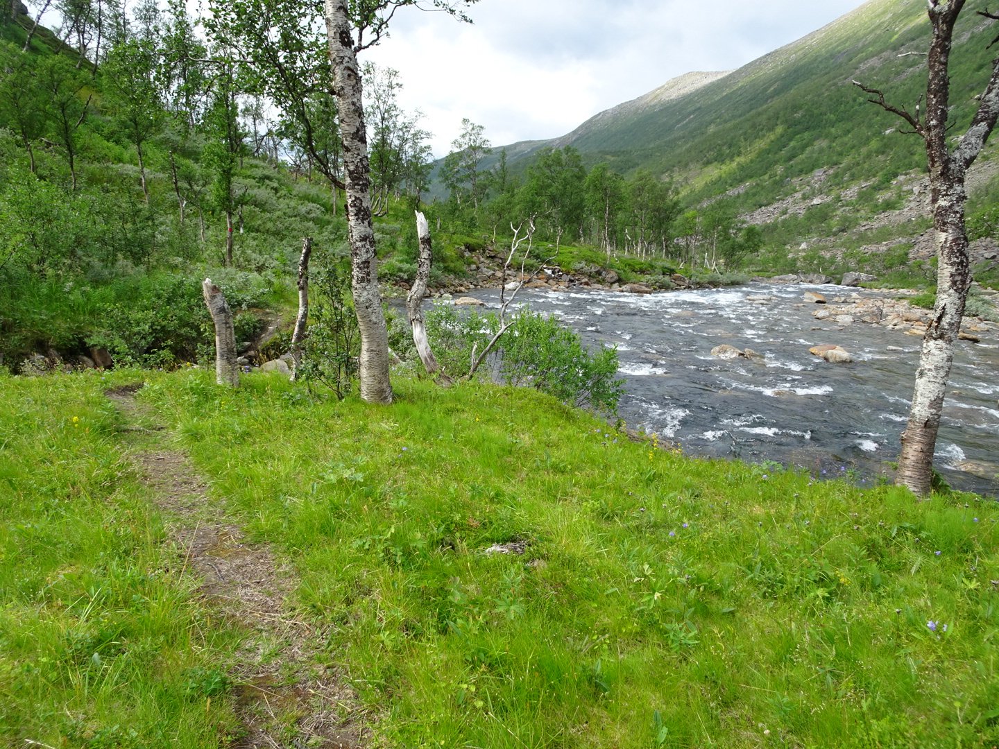
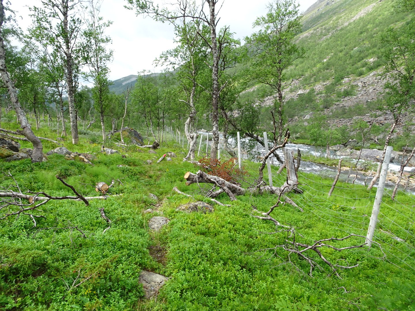
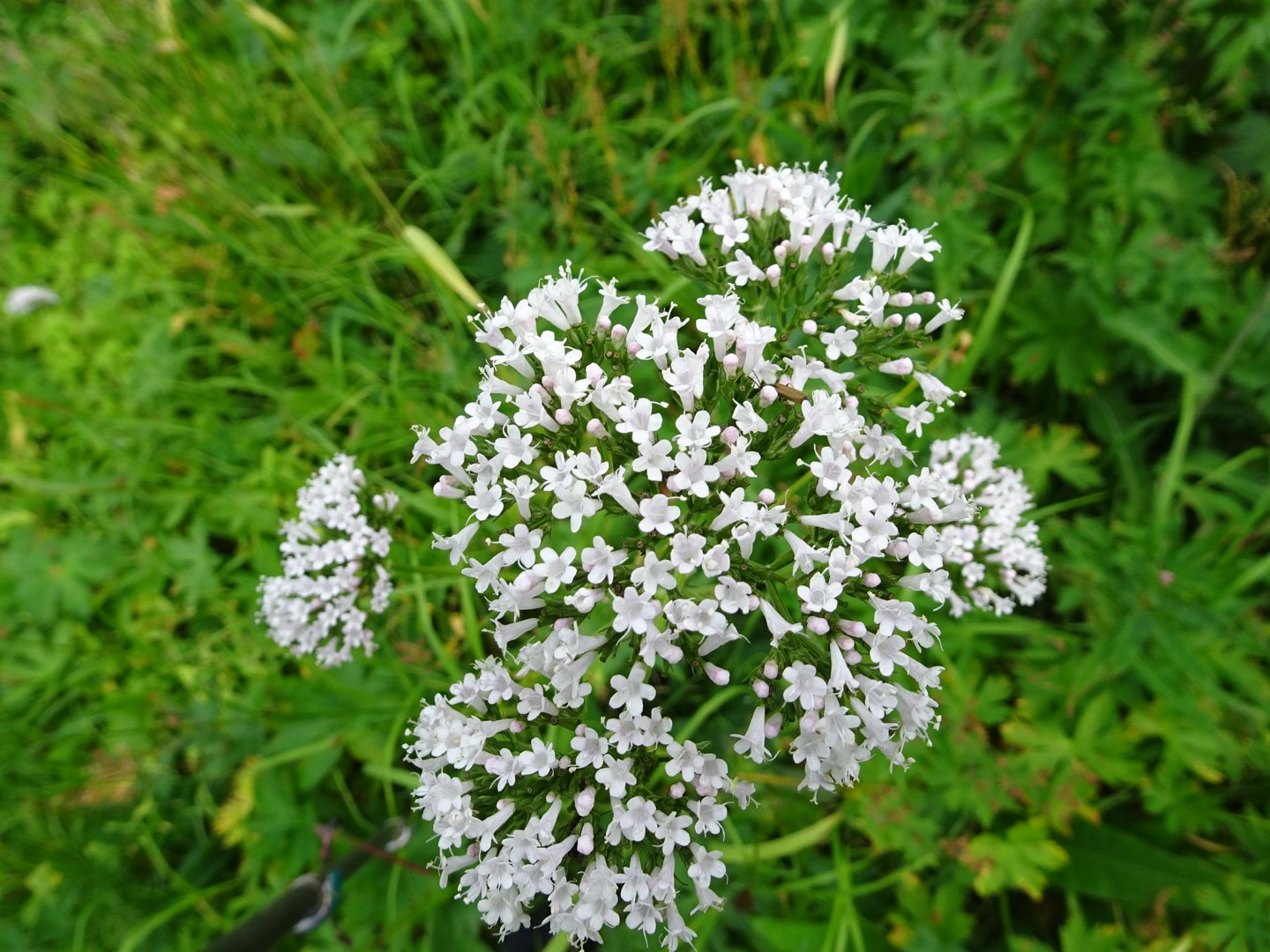
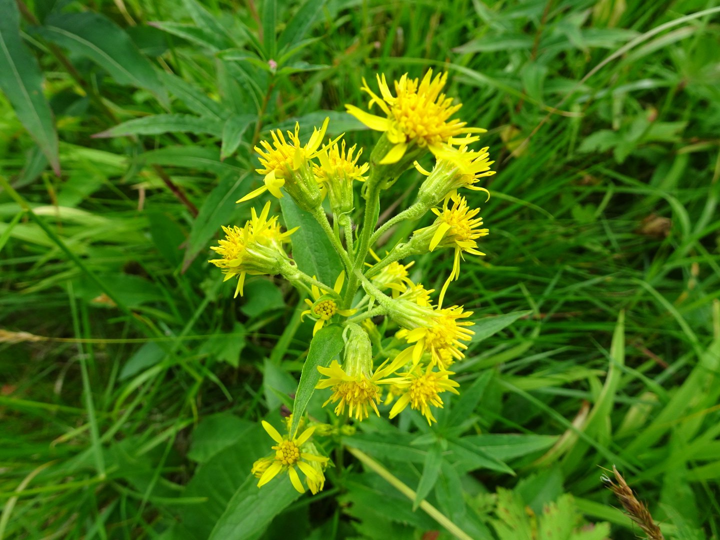
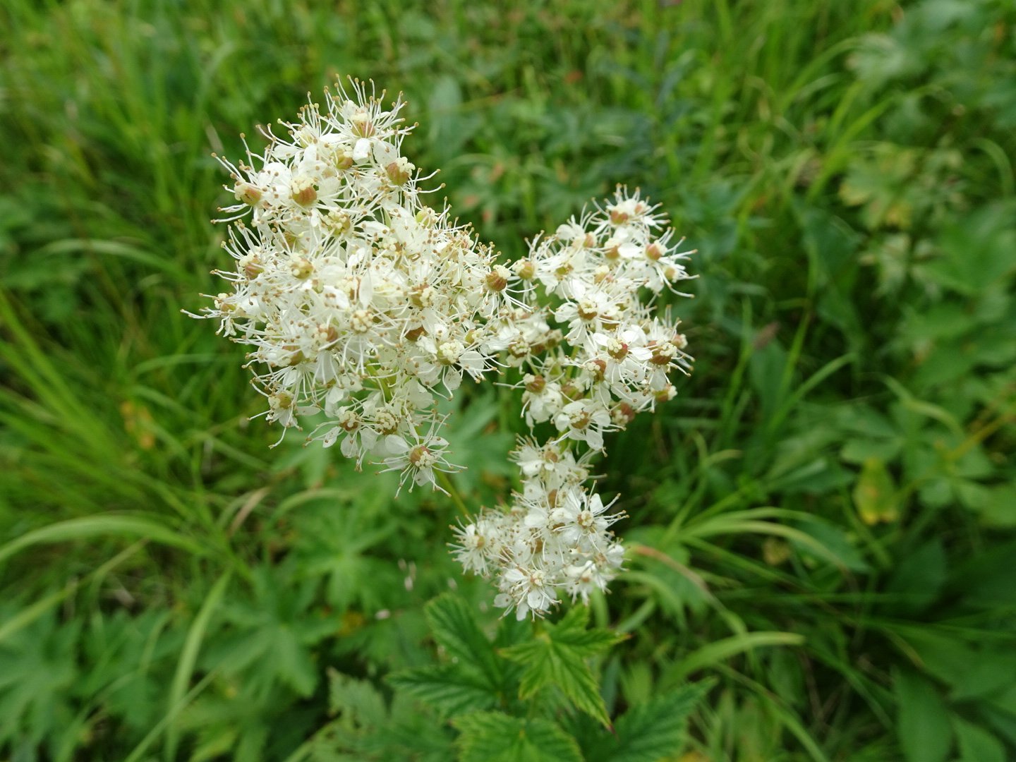
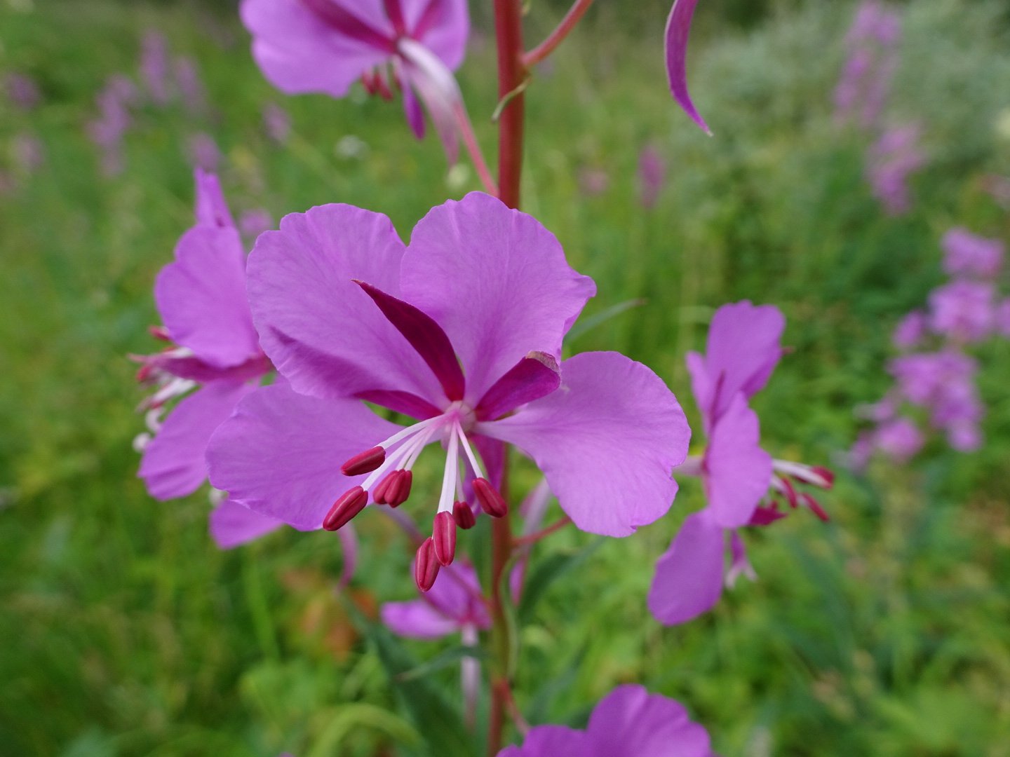
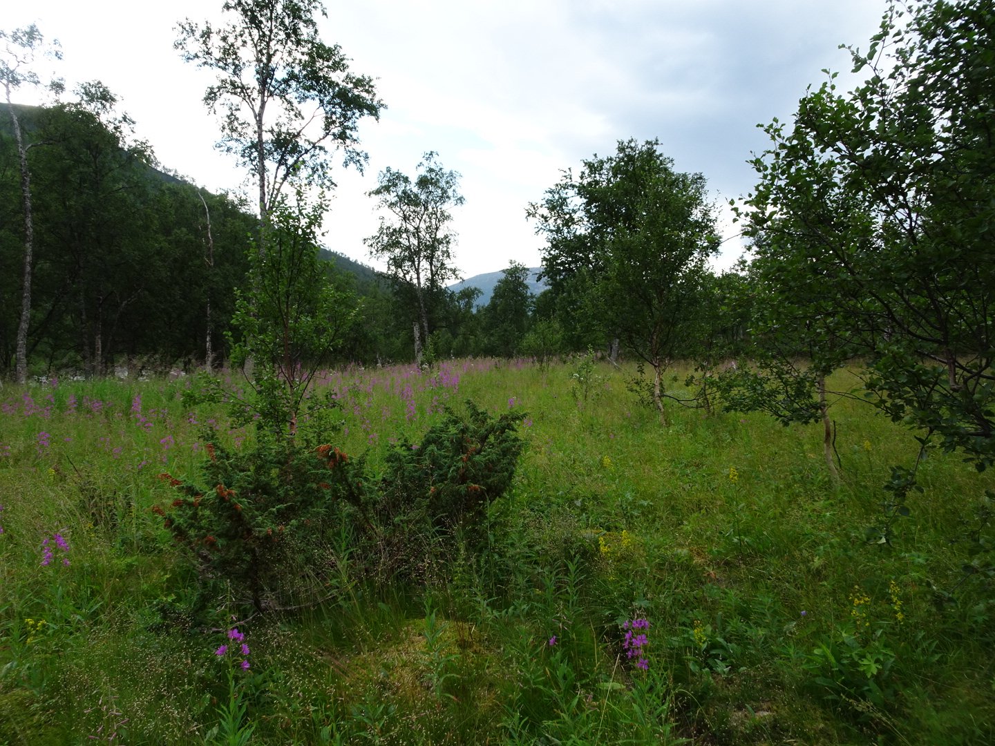
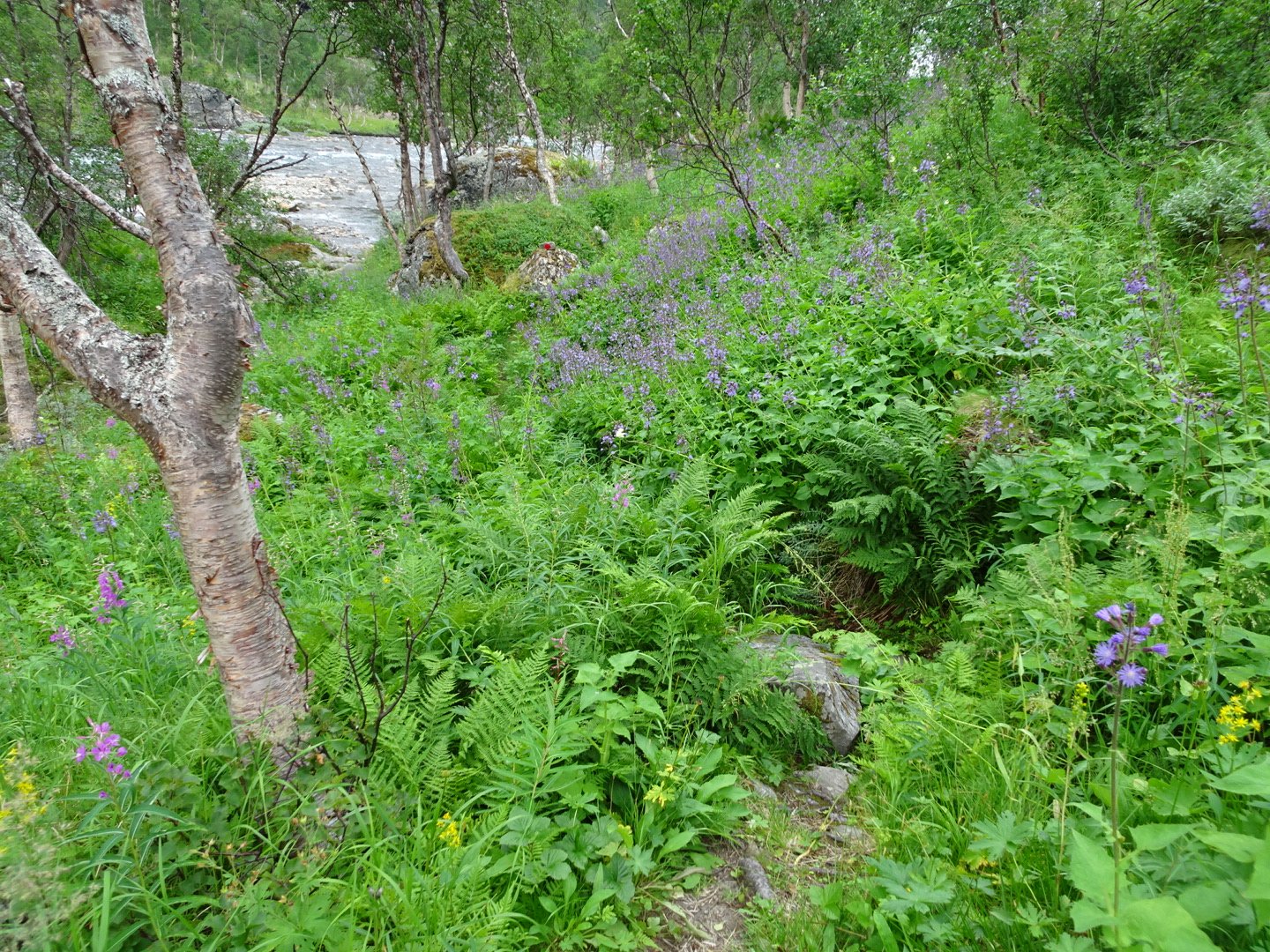
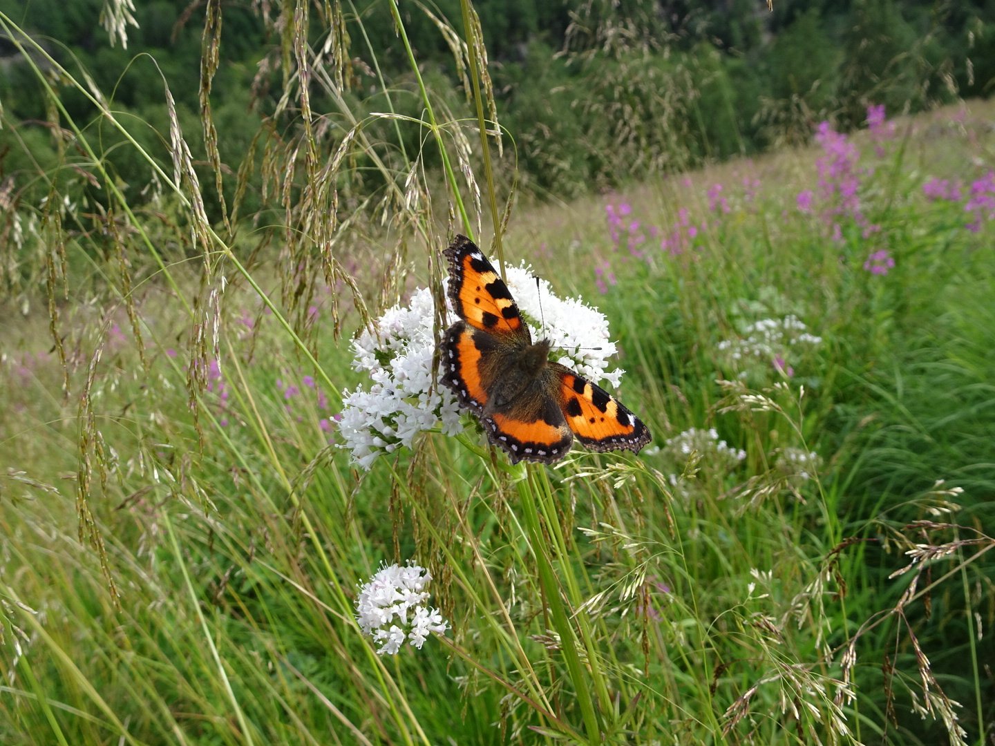
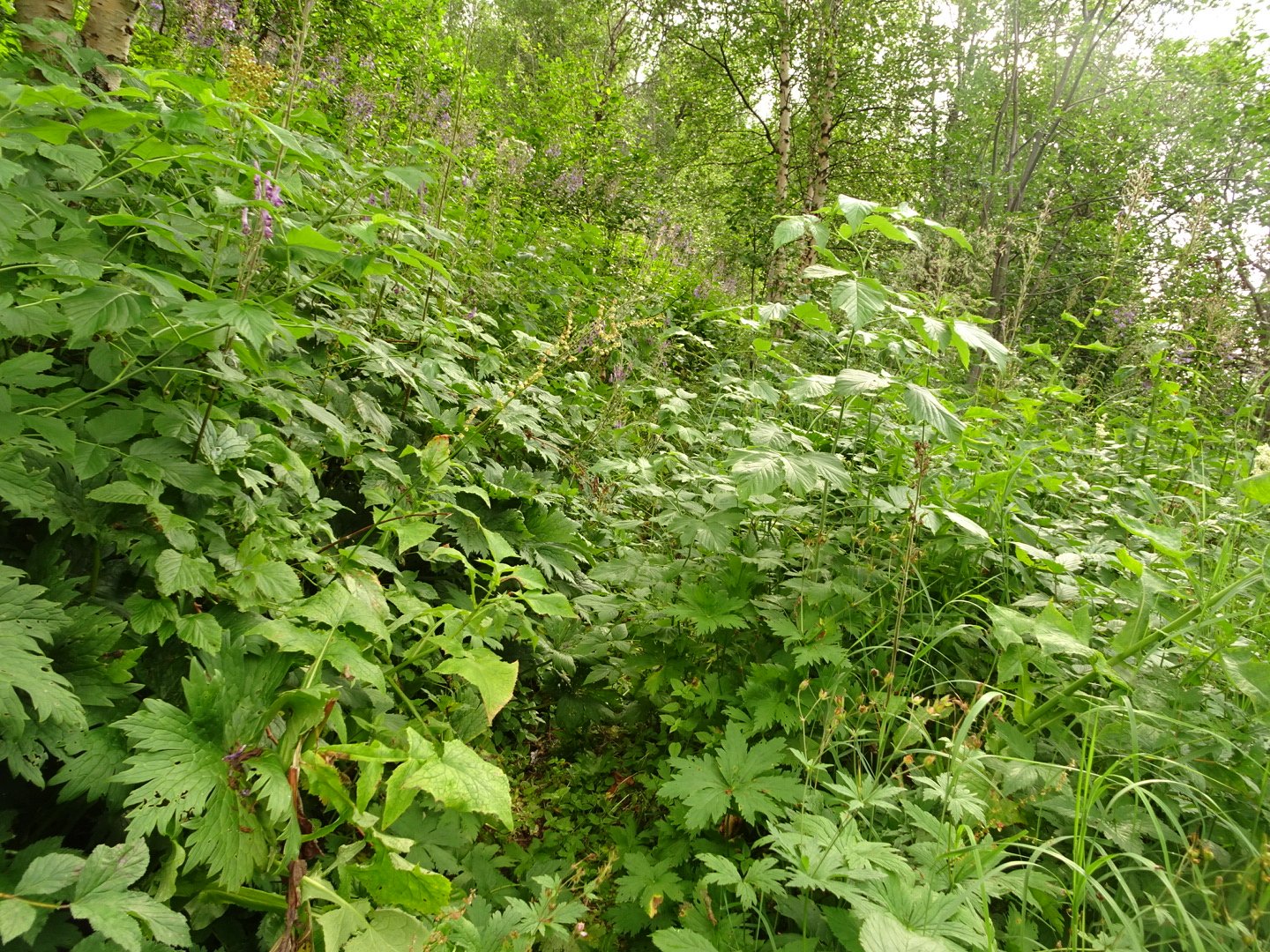
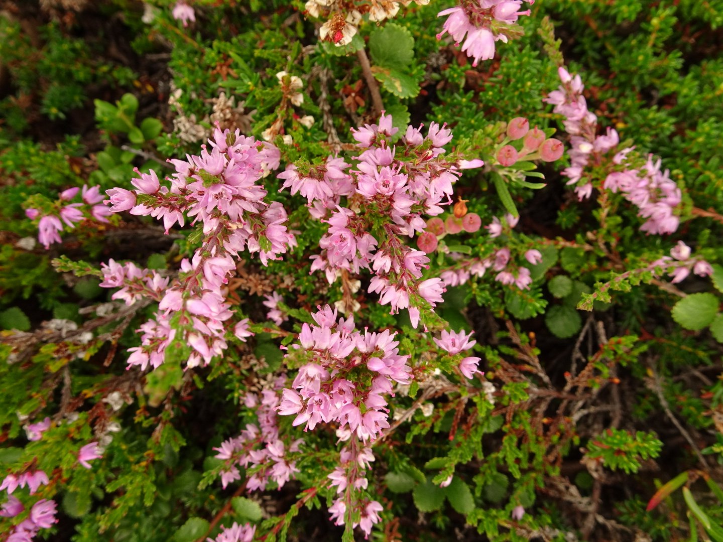
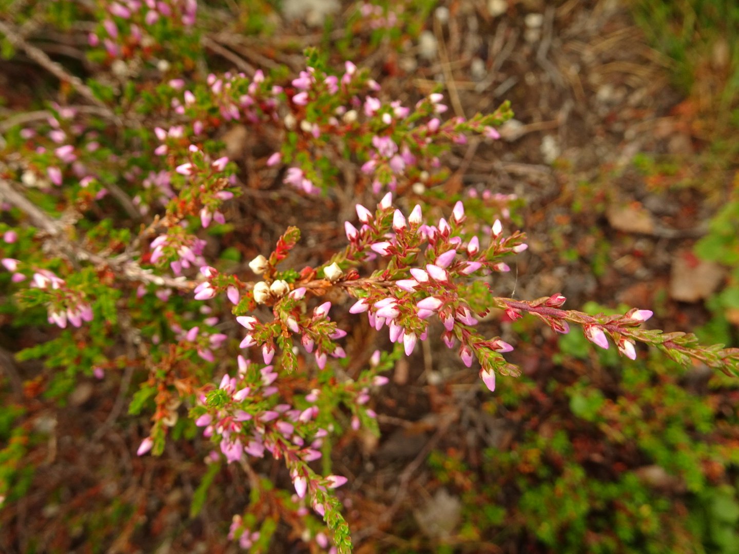
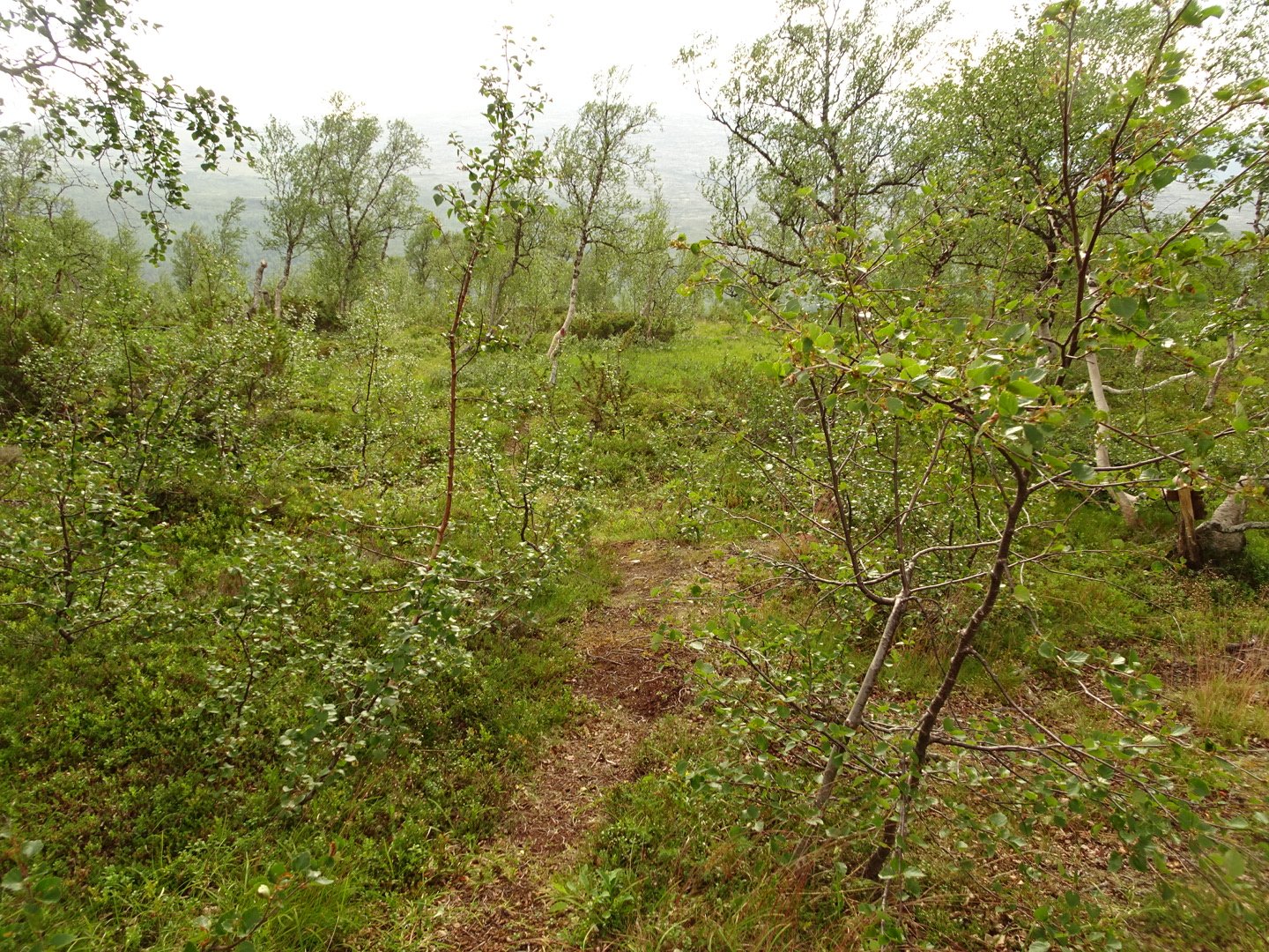
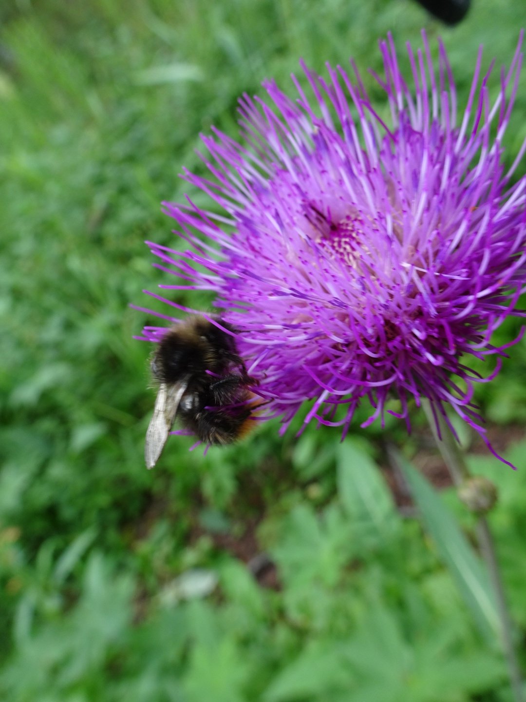
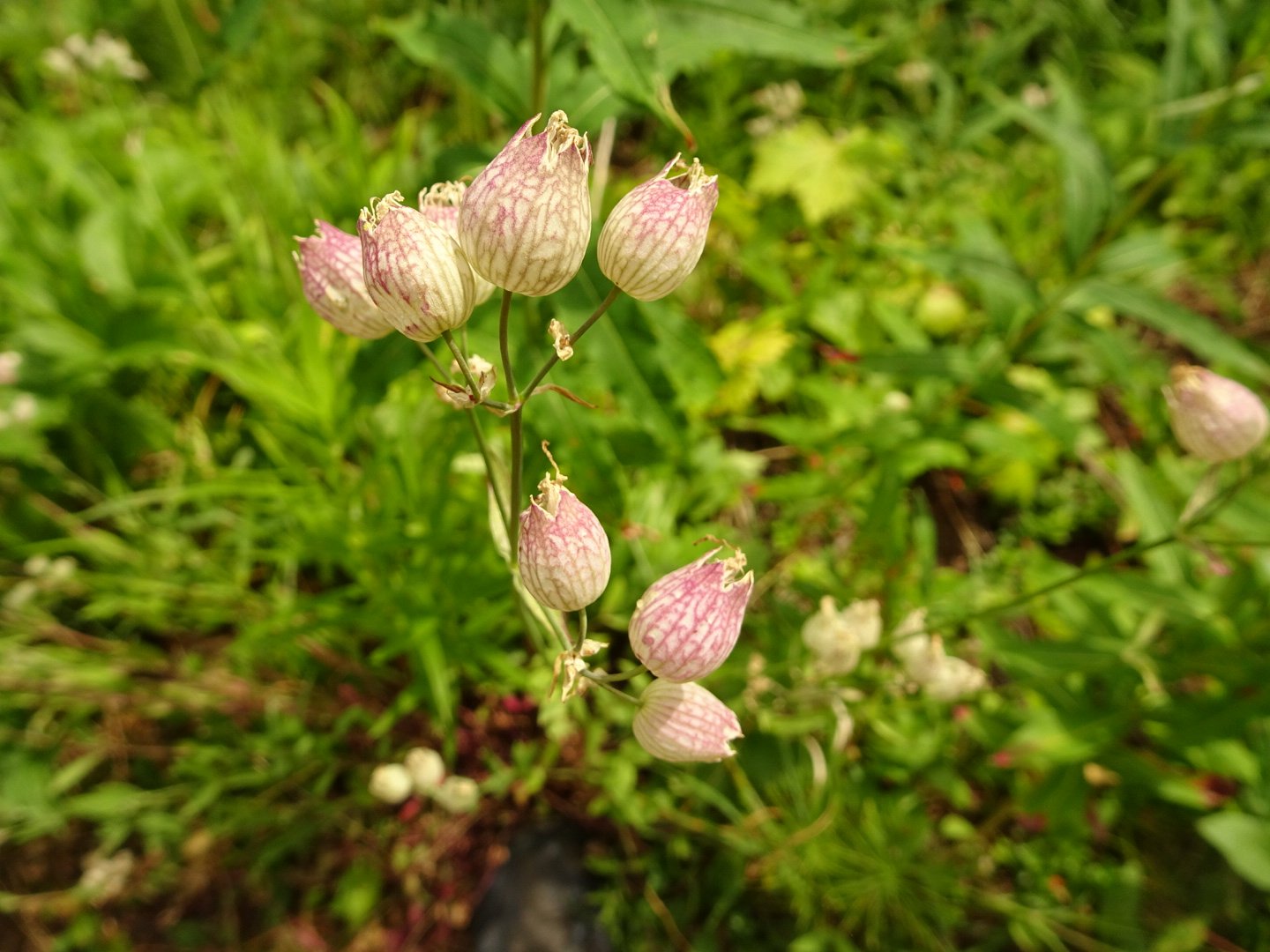
I soon warmed up and was on the prettiest part of the trail so far. It was in the trees which were quite spaced apart and in-between was long grass with a huge range of flowers. The river either trickled or roared to the right and the steep valley walls soared above on both sides. The track was easy walking and I was really enjoying it. The only downer was the occasional deer fence ruining the wildness.
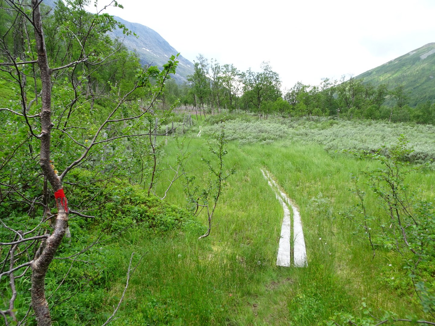
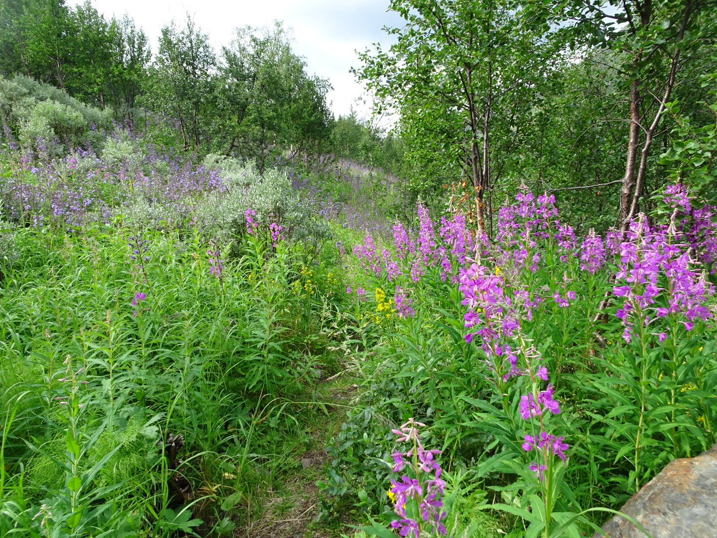
After several km the track crossed the river over a bridge and the sides of the valley closed in, though the trail still stayed quite flat. There was now alternating between the flower filled grassy patches and thicker trees with less undergrowth.
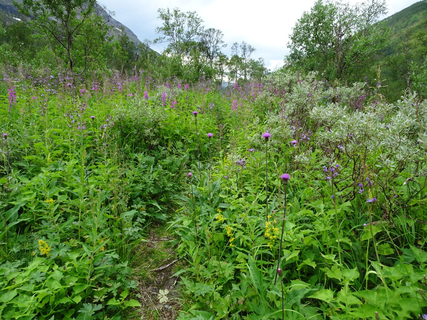
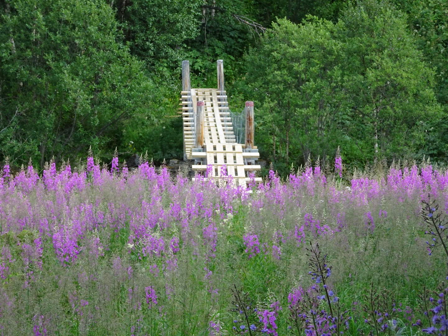
There were also some lovely waterfalls coming down almost on top of the track. This continued for another 4 km before a signpost indicated the way to Trygvebu Hut. I headed up to the hut for a look. From the hut there was an option to walk on a road or back to the signpost and take a trail a bit longer to meet up with the road. I took this option and was glad I did. The track was very overgrown but some people had walked it recently so the way was obvious. I crossed an open meadow and through more flowers to a bridge then steeply up the side of a hill to a road.
Now I was on the gravel road past several holiday homes. I find it interesting the custom of flying a Norwegian pennant (pattern of the flag but a long triangle instead of a rectangle) when occupying the cabin/ hut/house. It is a sign that crime is low as it is the perfect tool for thieves to know when someone is home or not.
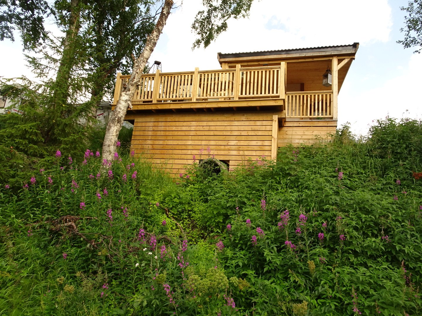
I laughed to see the house was built over the culvert
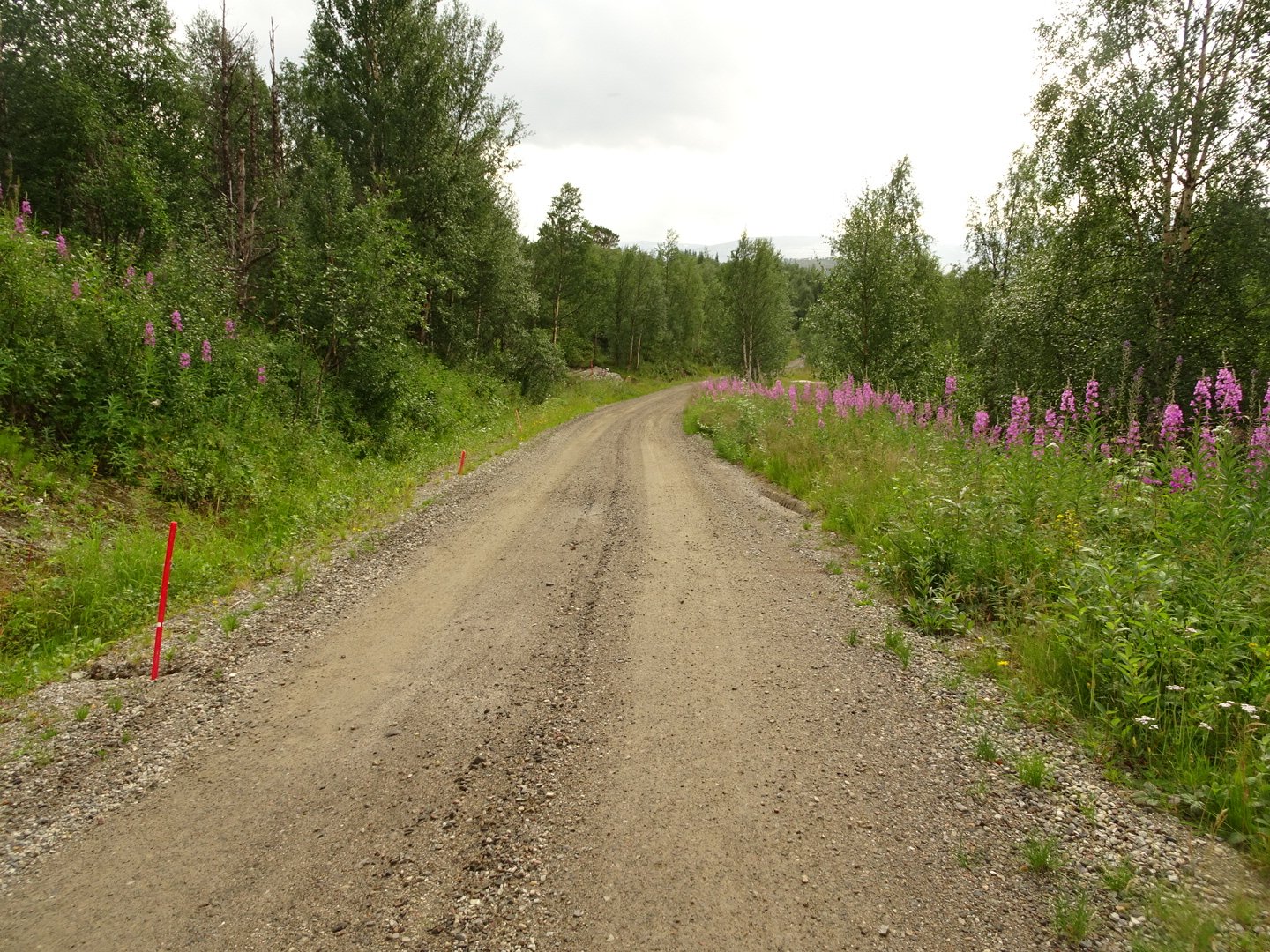
After a few km the trail left the road and followed a faint track up and down through the open to a road.
Straight across the road it was downhill in a conservation area. The track here was steep and slippery, especially when on the narrow track along the side of the hill. The vegetation was constantly changing from scrub to tall beech to pines.
There was a large eagle gliding above me calling out. It landed in a tree not too far away but by the time I got a clear view it took off again.
After dropping to a river the track climbed up to a Graddis campground. I had hopped to get a meal here but the place was deserted.
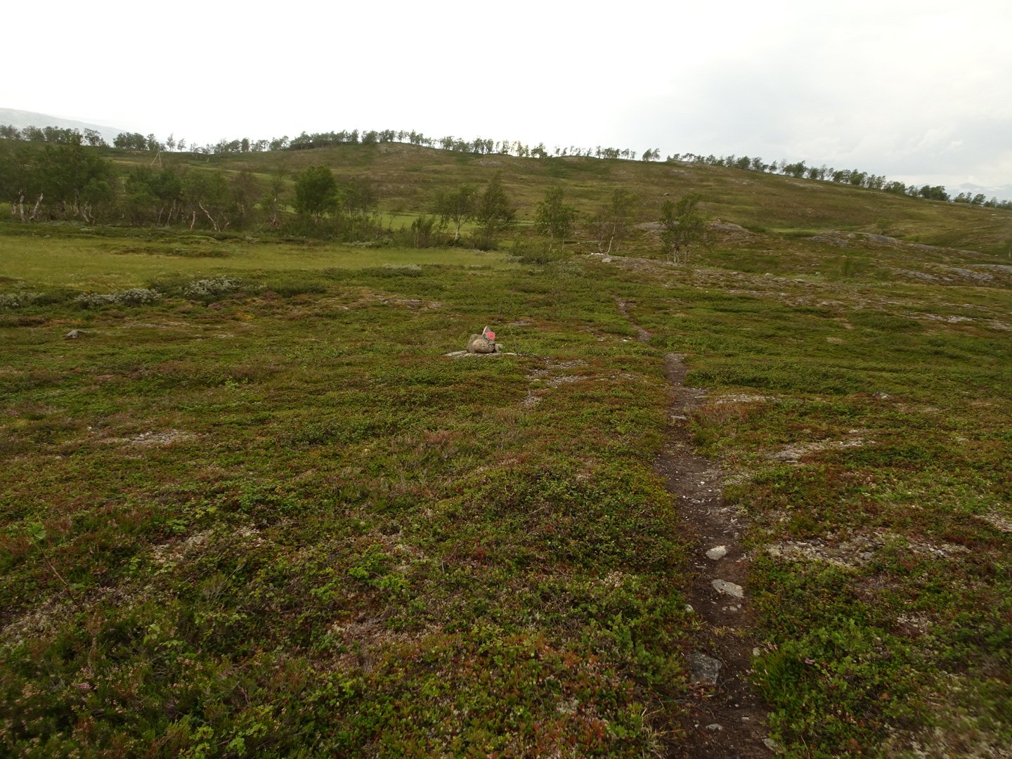
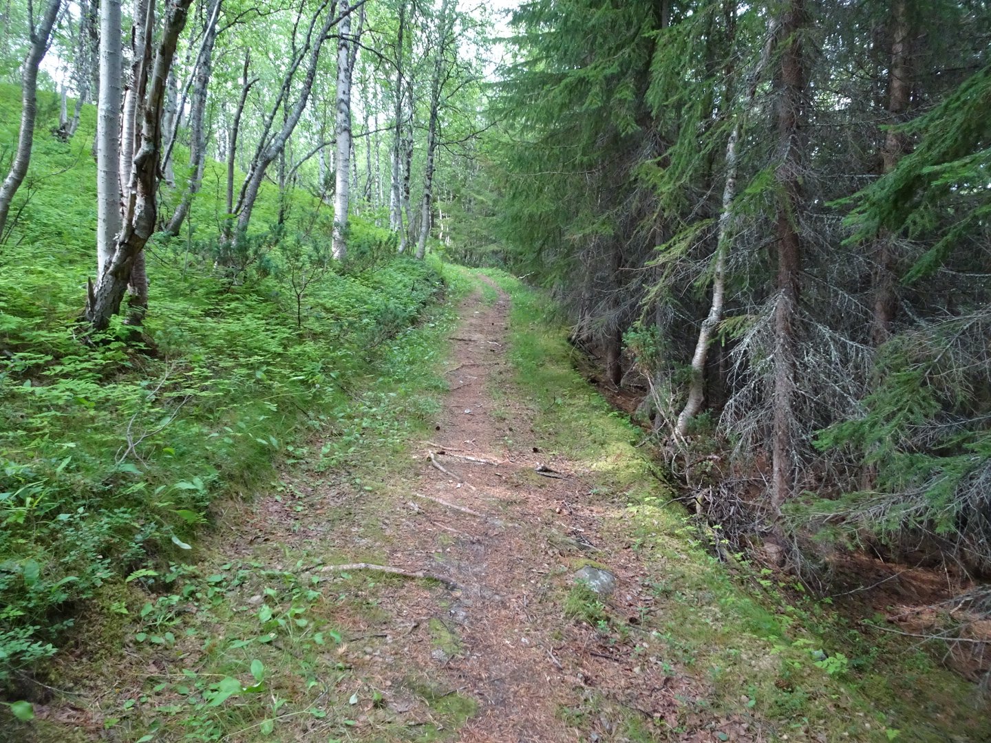
Now I followed the gravel road for a few hundred meters then turned right and on a wide trail through pine trees which gradually narrowed, changed to beech and then above the trees into the rock slabs.
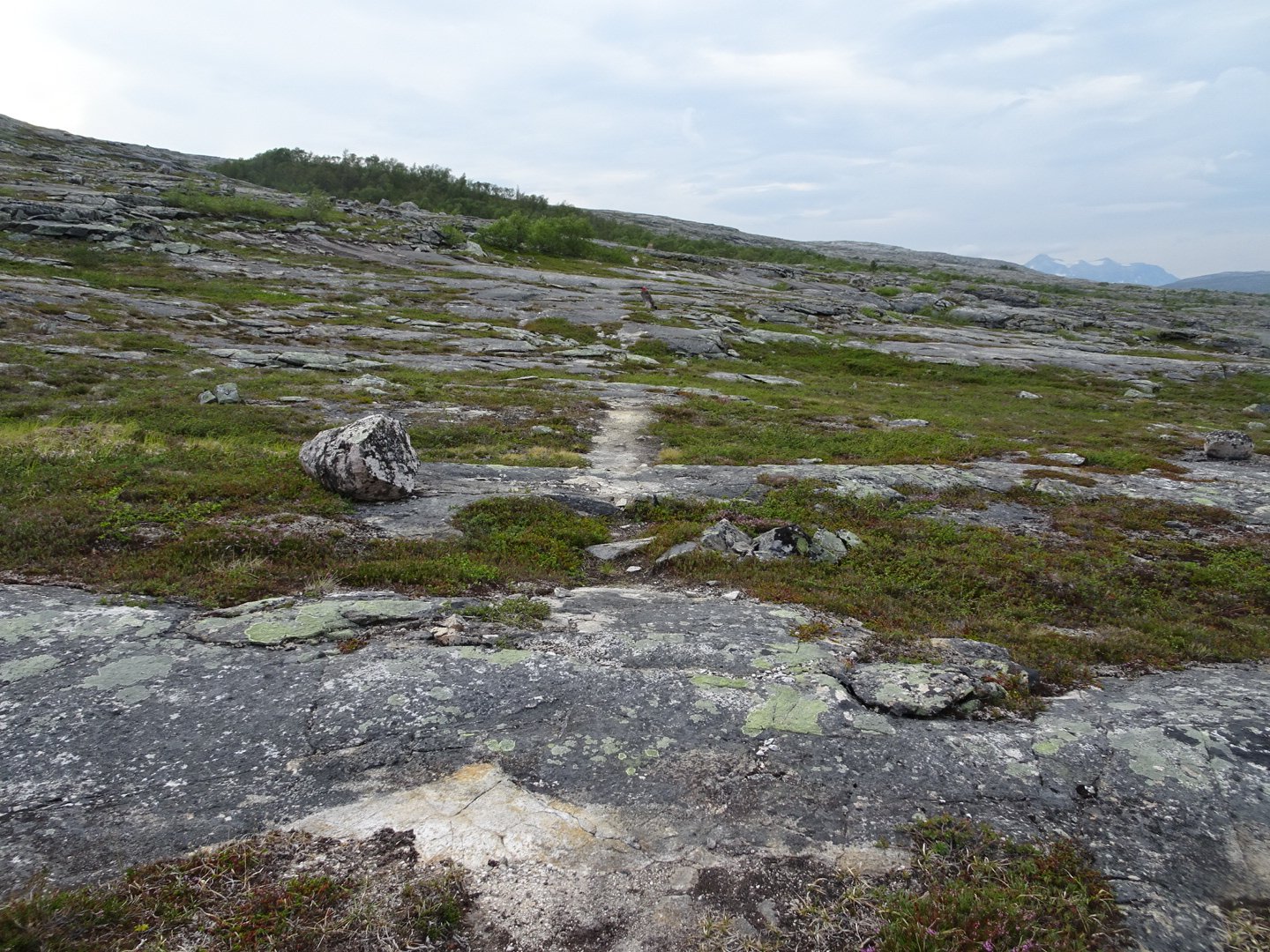
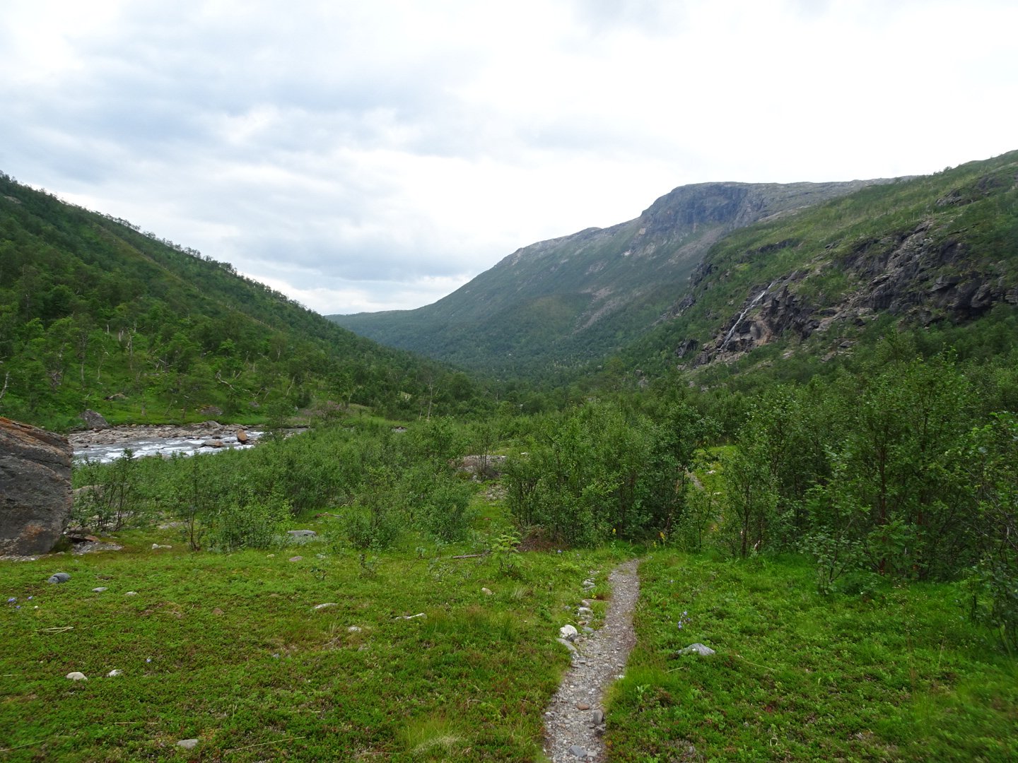
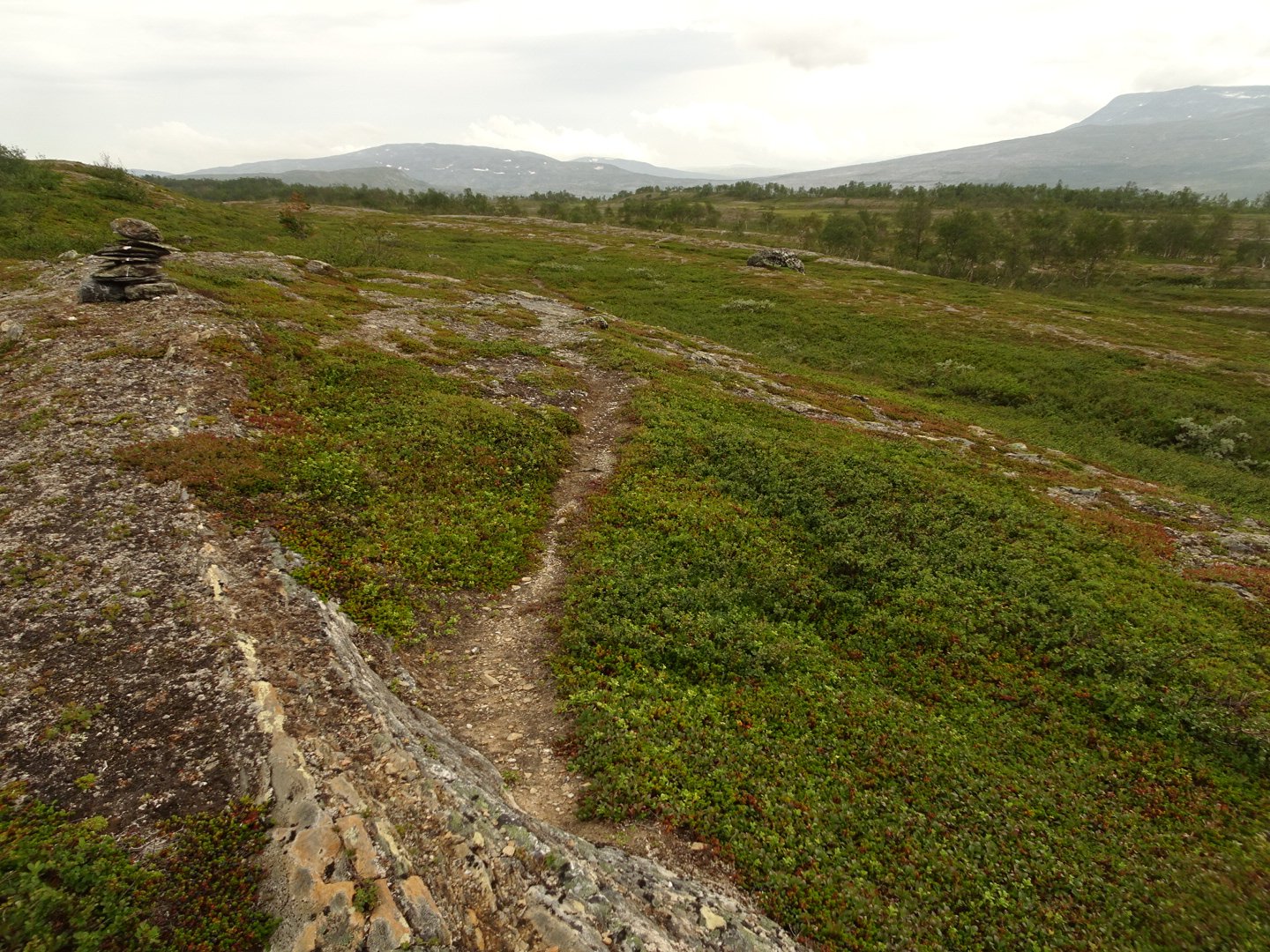
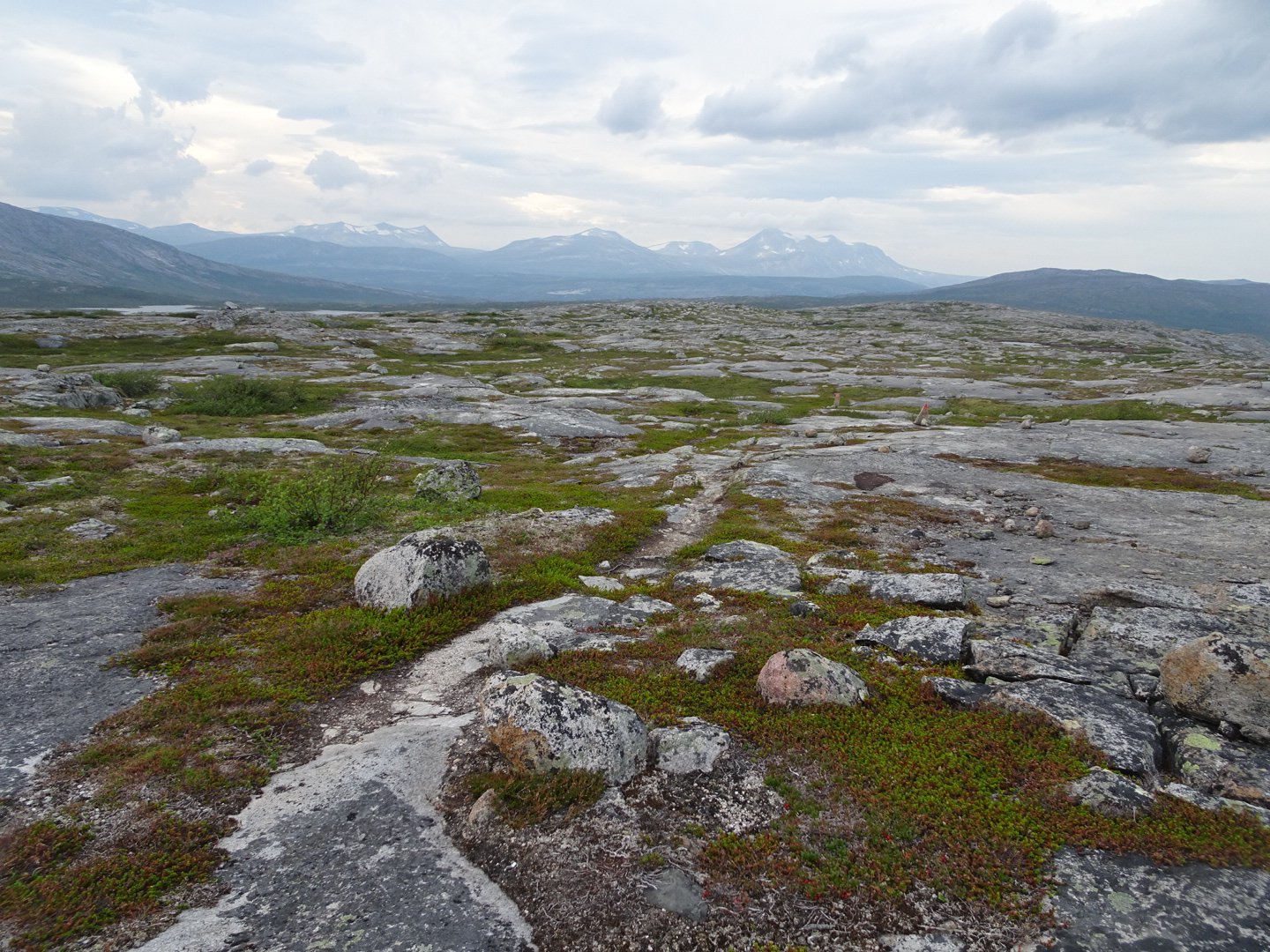
It was a steady climb up the side of a large mountain. There was a small stream and section with trees but most of it was the barren stark rocks.
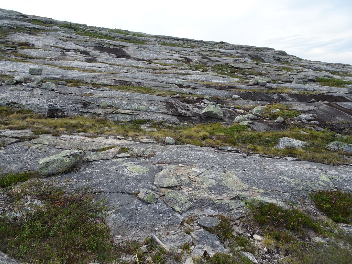
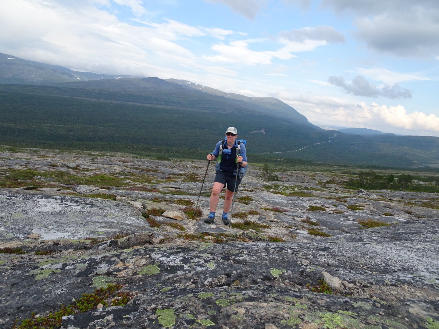
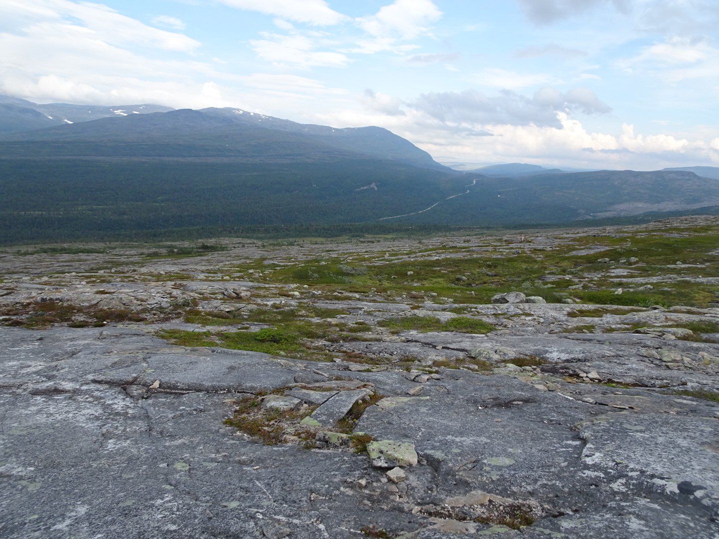
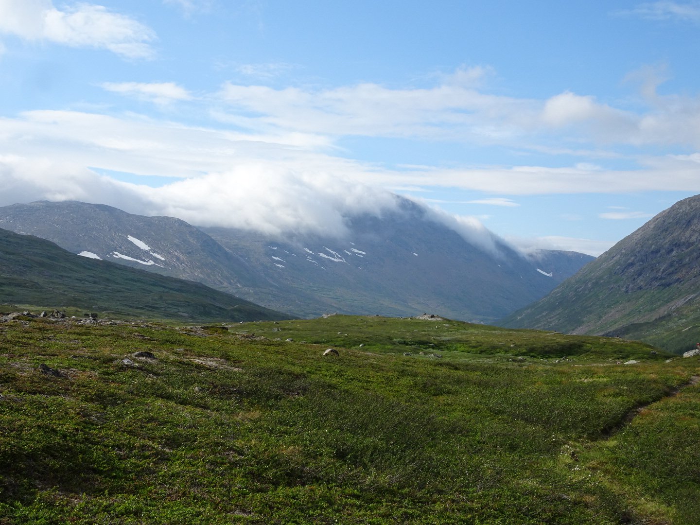
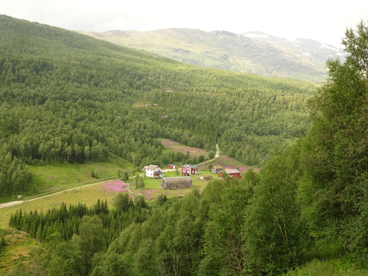
It was such a contrast to the lush bright green vegetation of the valley I was walking in this morning, but still beautiful, just in a different way. The trail climbed to the top of a spur off the mountain then started dropping, past some big and small lakes.
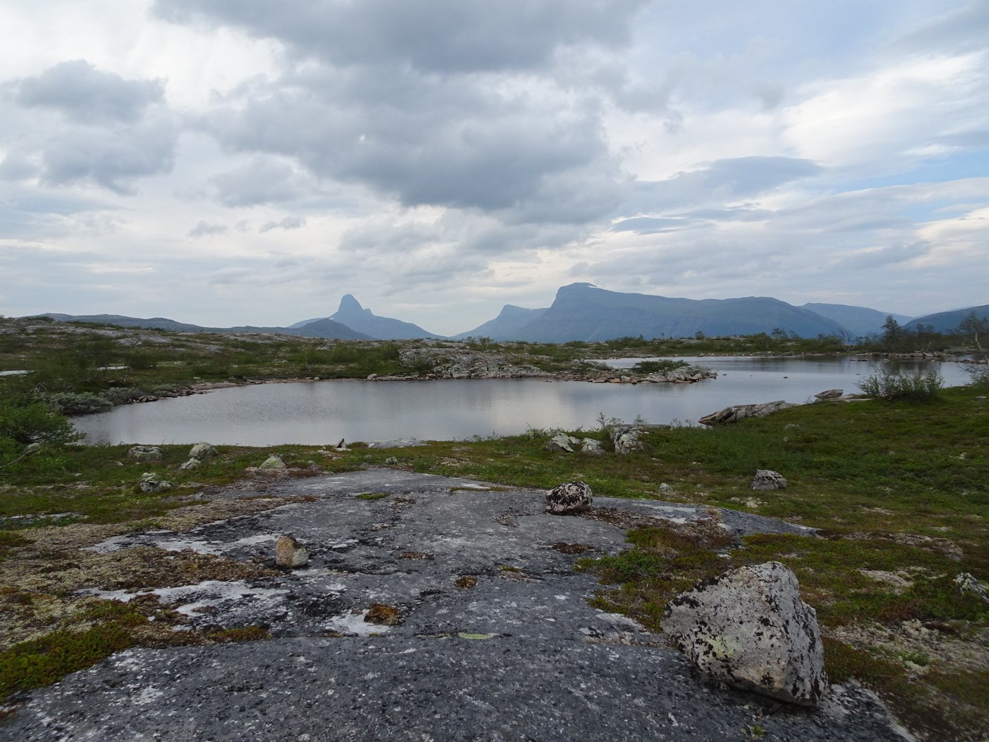

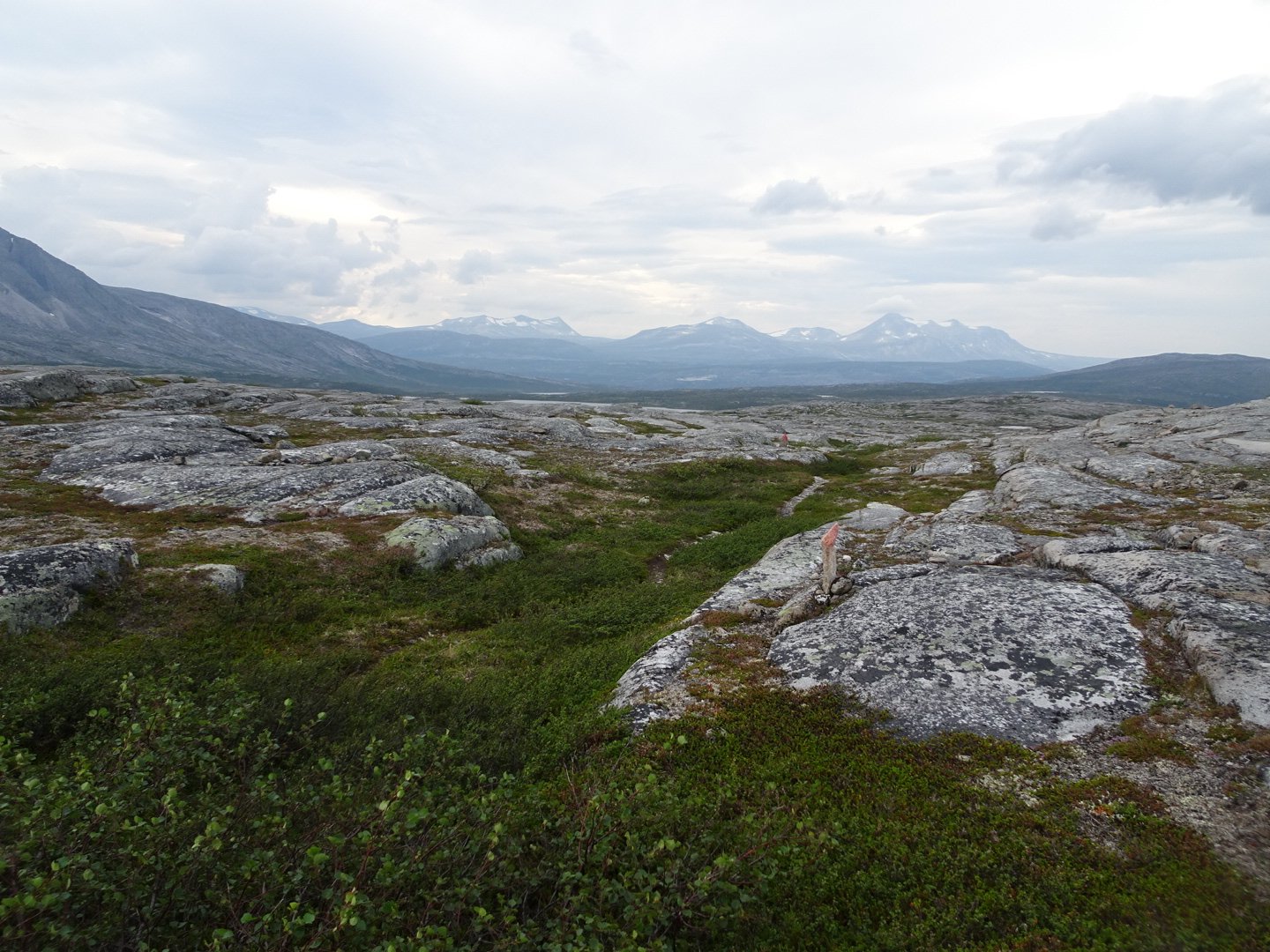
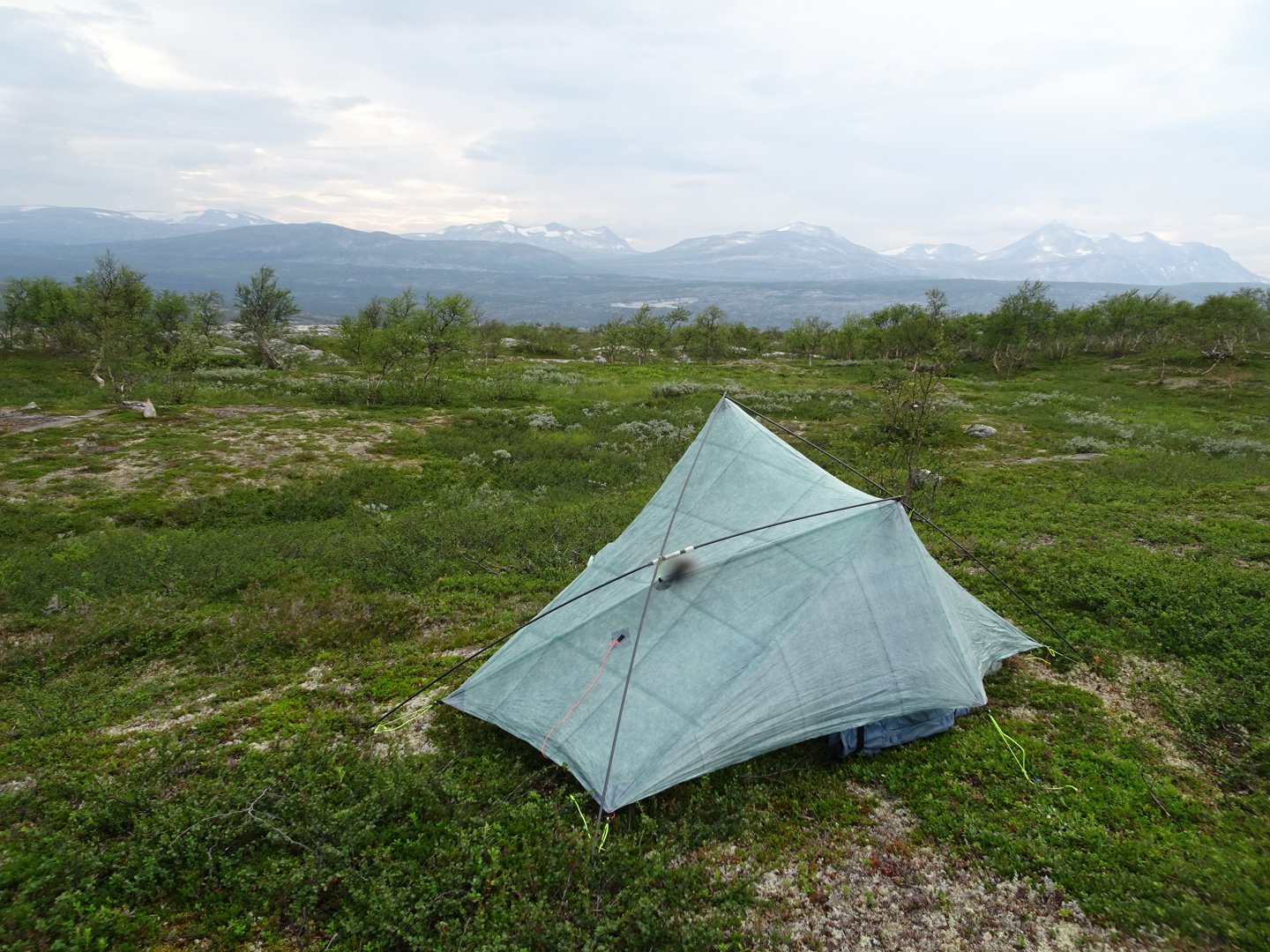
I had planned to camp 5-6 km short of the next road and started looking for some water. It was pretty dry in the rocks but there was one swampy area with a small waterfall running into it where I managed to get some water for camp. I continued another half hour then found a lovely spot with a nice view to camp.
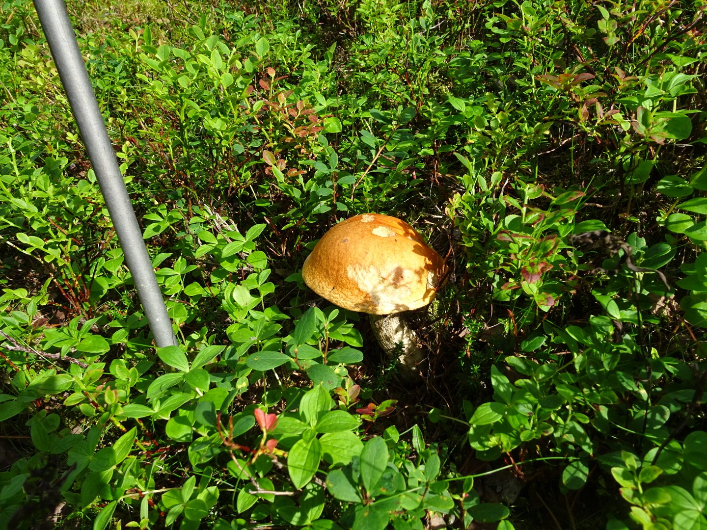
Dinner was a small instant soup and some instant potato, the last of my food.
I really enjoyed today. The prettiness of the valley and the starkness of the rocky mountain were great contrasts and despite the lack of food I felt good most of the day.
Views: 254