
Day 53 – 19 Aug, Grasfjellkoia Shelter to Near Bridge over Storelva River
(41km, total 1329.5 km, 11h 50m, 0910 to 2200, 2 hours at hut, one hour talking is not included in total time)
The rain did not stop all night and I had a little fight with myself about whether to stay in the nice warm hut or venture out into the cold wind and rain. After a little sleep in I managed to get myself going and psyched up for the weather.
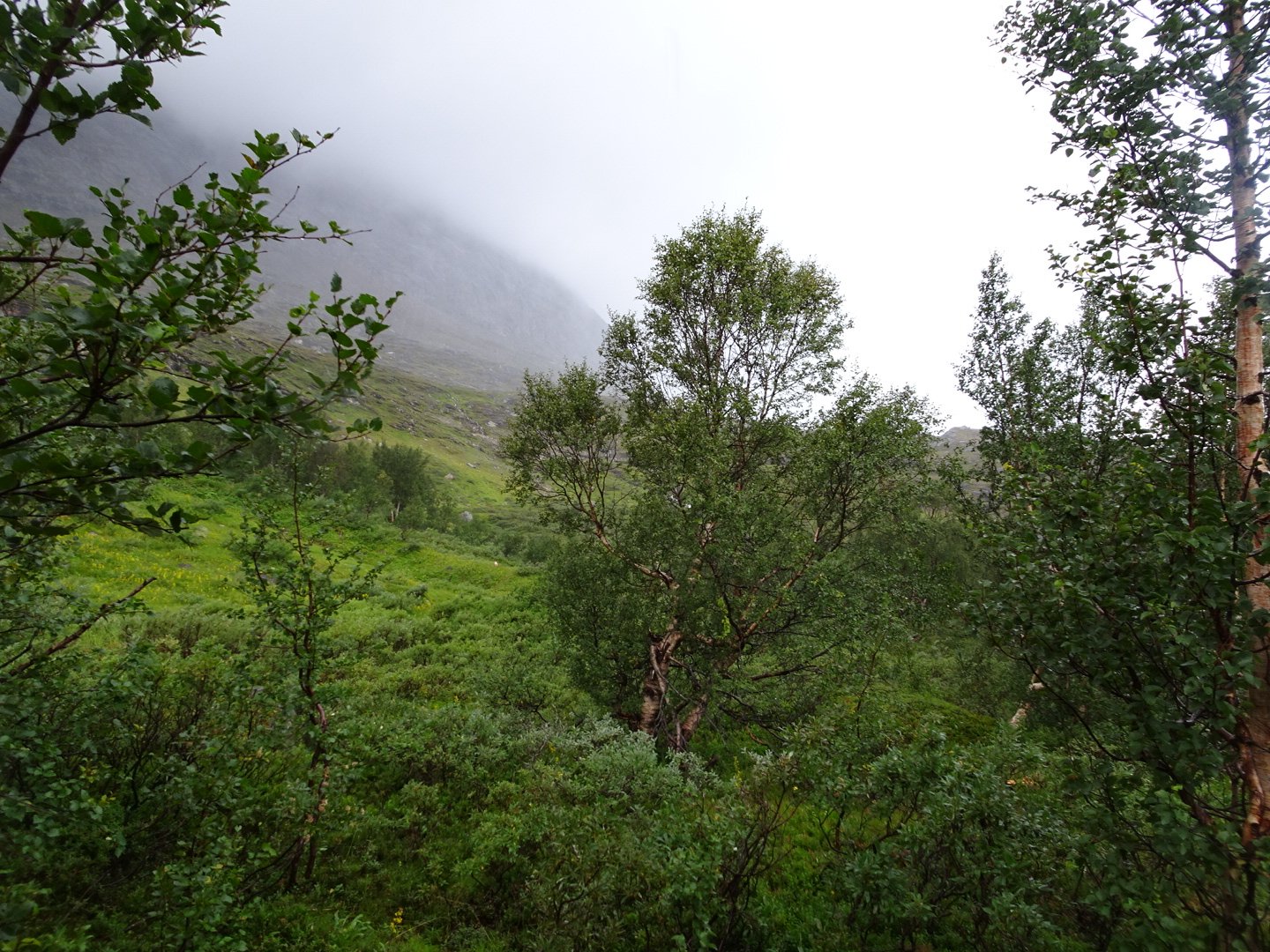
Not the most appealing weather to walk in
The wind was much stronger than yesterday, mainly at a steady rate but with the occasional gusts which blew me around, needing to brace with the hiking poles. The rain was steady and just a little more than light rain.
The trail continued along the hill above the lake. There were a few ups and downs at streams and then after a couple of km the climb up to Storskardet Saddle started. It was fairly steep for a km and a half.
Just as I started the climb the rain started to come down heavy and as I was now heading nearly South I had a head wind. This meant the rain was coming directly into my face with a lot of force due to the wind. I had to put my sunglasses on to protect my eyes. It was hard going trying to walk into the wind, especially when going uphill. My hands were getting cold so I put on my homemade waterproof gloves and then I was comfortable, despite the terrible conditions. I was definitely wishing I stayed in the hut.
From the top the slope eased off, though was still climbing slightly for another couple of km past some lakes and then the descent started. The track going down was slippery and I was actually happier on the swamps because they were not slippery. As I dropped the terrain became more rocky and I was having to negotiate down slippery rock slabs. I took my time and thankfully avoided slipping.
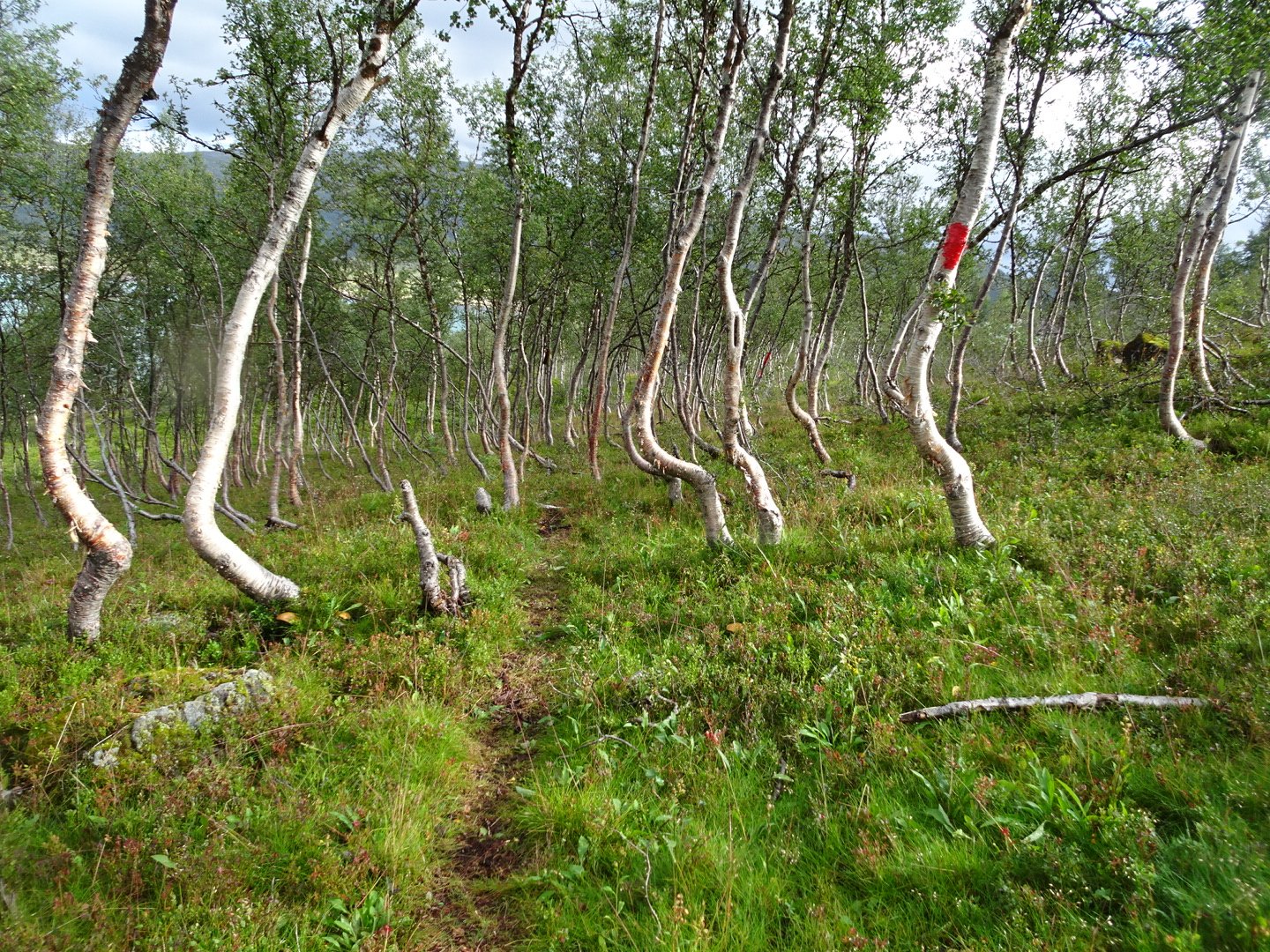
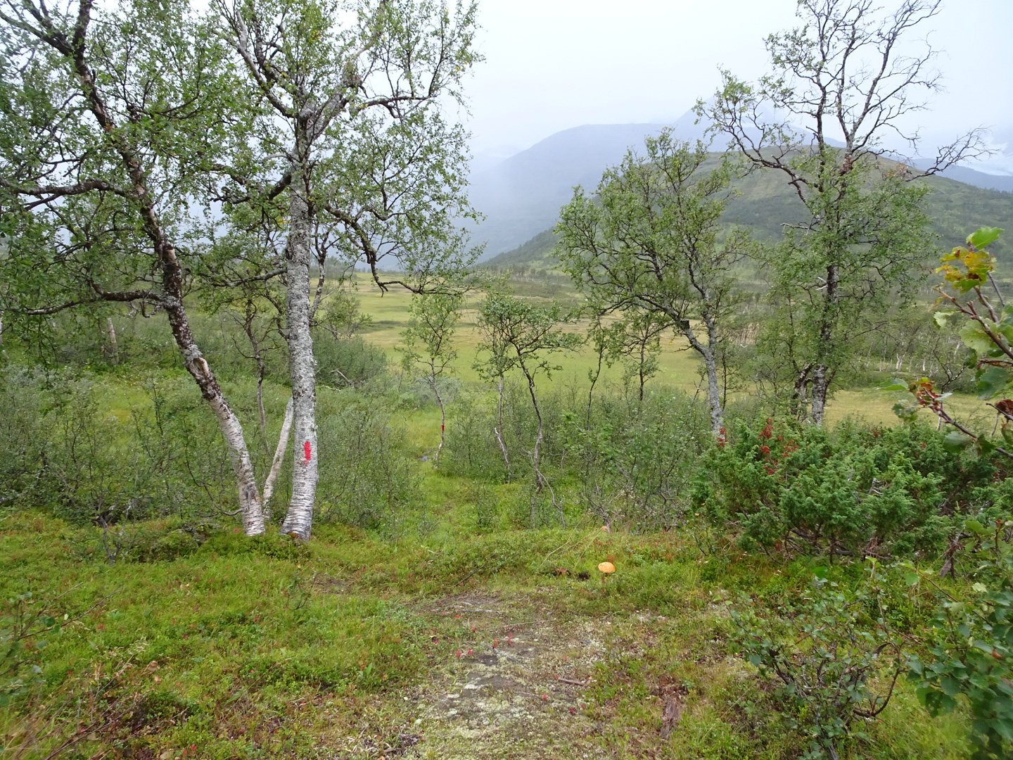
At the bottom of the hill it was a relief to get into the trees to get a bit of a break from the wind. The one positive from the morning is that the trail was well marked.
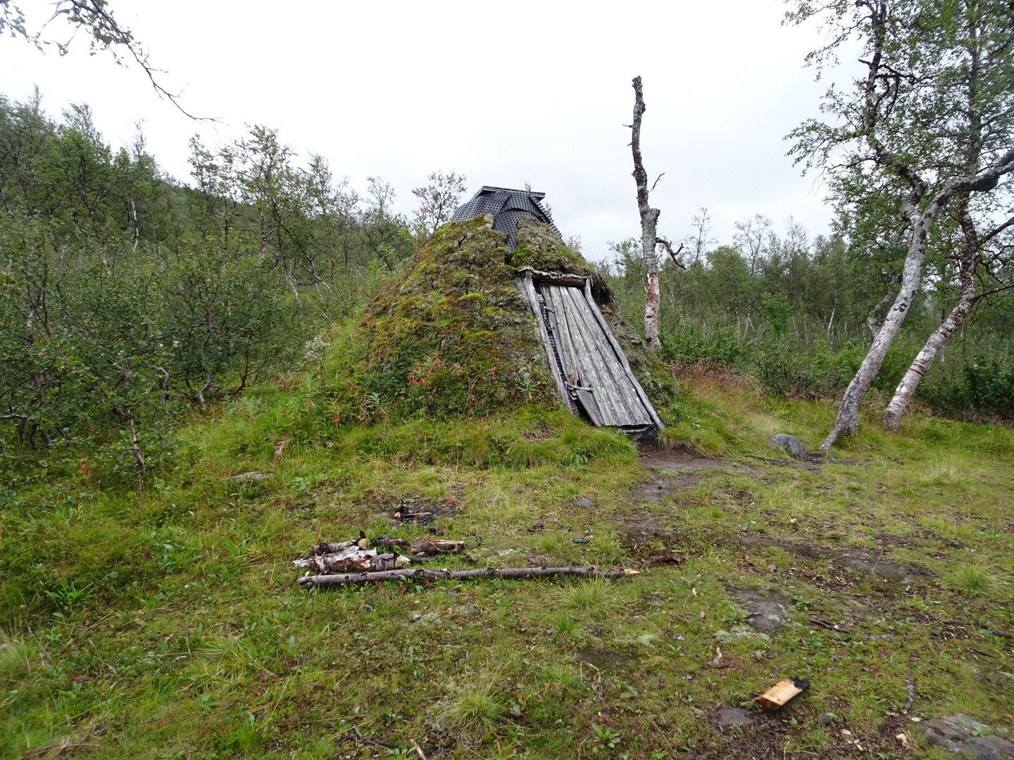
I saw on my map there were some buildings so I was hoping for a covered porch/veranda/deck that I could shelter under to have lunch but I only saw one building and it had nothing for shelter. I was on a gravel road for a while, crossing a bridge and turning left to follow the gravel road to a dam where the track started again. There was another option to turn right at the intersection and join with a track which goes up and over the hill as opposed to around it like I was taking.
The track was well marked and was a fun track. It started quite easy and then goy more challenging with steep rocks to descend, descending down a waterfall, edging on a cliff and scrambling over rocky patches. Most of the trail that was not rock was either under water or boggy.
I met one man who left the rest of his group as he had an appointment. He said three ladies would be on the trail and two men were staying at the hut until the lake calmed down enough to take their boat across to their car. 30 minutes later I met the three women who were each carrying a small bucket of cloudberries.
Finally the rain started to ease off a bit and there were a few patches where it stopped. The track left the lake edge to go behind a big hill and met up with the other track at an intersection near a private hut. It then crossed a bridge and I was expecting to have to climb and then drop down to the hut but they have changed the trail so it stays low and contours around to the hut.
The hut was nice and warm when I entered and the two men were there. They were very friendly and welcoming and even offered me some coffee, and refills. I ate my lunch and talked to them, enjoying being warm. Nearly two hours later I managed to fight the temptation to stay the night and continued on.
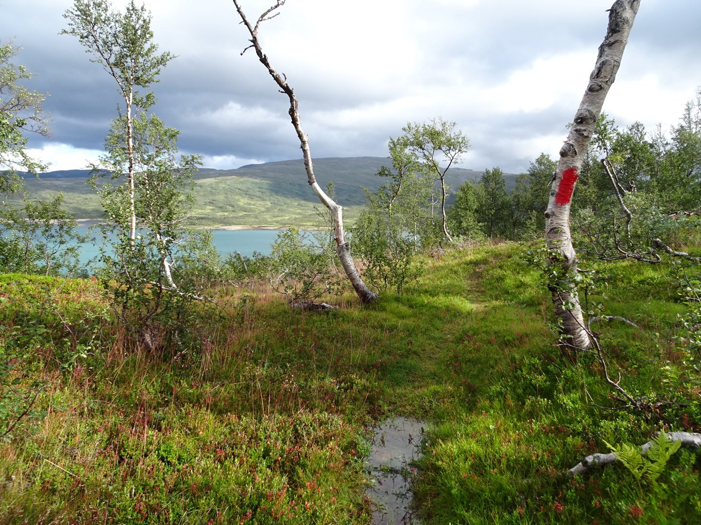
The rain had stopped and there were only a few showers. There was even a couple of patches of blue sky. The trail was well marked and there was a clear track to follow. It went along the side of a hill through trees then crossed the valley floor and stayed in the trees at the base of the hill. On the other side some offshoots of the massive Glacier, Ostindan, were visible. As you would expect from a valley there was a lot of swamp to cross and the track had very few dry bits.
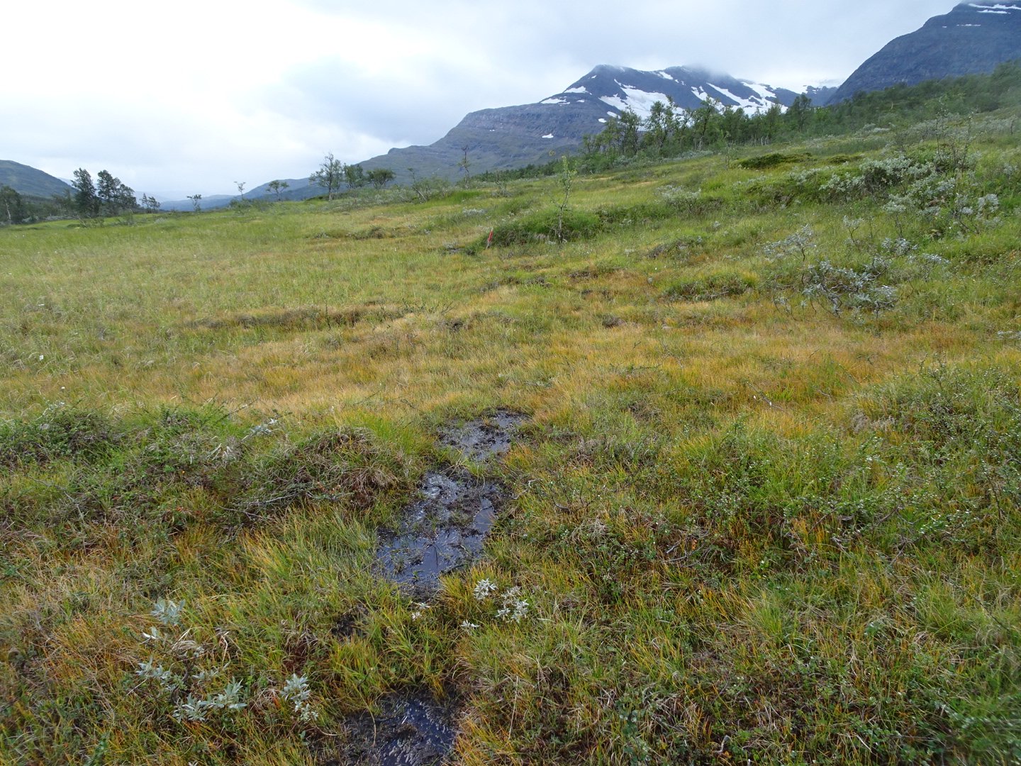
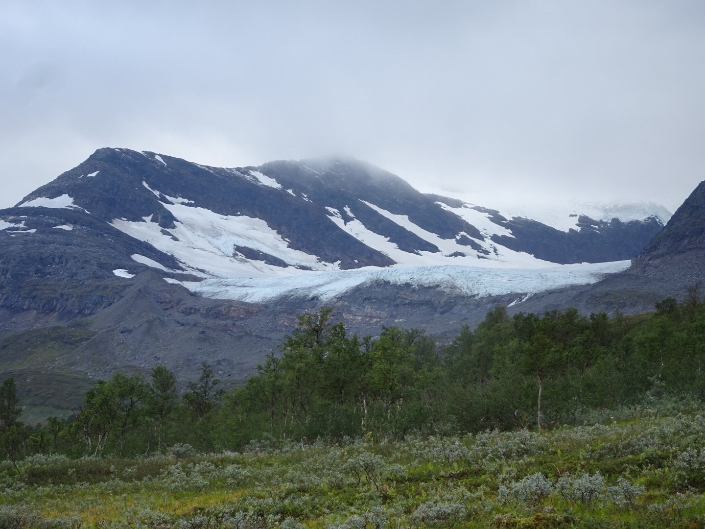
Edge of the glacier
When I was about 4km past the hut I met a guy and a Girl and her dog who were doing Norge Pa Langs. The guy said he was really slow at the start and later met up with this girl who was helping him to push his pace a bit. They were asking about the huts so I showed them my map and gave a summary of the hut. They were keen to go to the hut I spent the night and kept asking me if they would make it. I kept replying I did not know their speed but told them it had taken me 7 hours but much of that in a head wind. Privately I don’t think they would make it by dark and hope they stayed in the first hut.
A few km of swamp later the trail started to climb out of the trees. As I got higher the wind got stronger. According to my map after the climb up the trail was meant to contour along the hill at the same height but it seemed to continually be climbing.
Just after the trail crossed two really strong and fast rivers it started to rain really heavily. It was now quite a steep hill and the track was narrow with nothing but steep hill below. If I slipped I would be rolling down the hill for a long way as there would be nothing to stop me. The track was covered in running water and there were some patches of slippery rock I had too carefully negotiate.
I was not cold but was not far off it but there was no way I was stopping in these conditions. I kept as fast a pace as I safely could to keep warm. This was the heaviest rain I had been in for such a long time. While it was only 3 km before the descent started it felt like a lot longer. Finally I started going down, very steeply. I was glad I had the new shoes with good tread as this was a slippery descent. I took it very easy, worried about slipping over. There were a surprising amount of swamps to cross given how steep the hill was.
I was relieved when I dropped into the trees as this gave some relief from the wind, though the rain was still hard. I was very impressed with the performance of my Zpacks Rain Jacket as I was still dry despite how heavy and wind driven the rain was.
Near the bottom of the hill I started searching for a campsite but everything was boggy or the slope was too steep. The track came onto some farmland and past a shed that I was tempted to stop in but it was a little muddy inside so I kept going.
Now I was on a sealed road and on the lookout for a cabin with a porch. Unfortunately nothing was suitable and I turned off the road onto a gravel road resigning myself to a tent in the wet trees. I was now looking for water and now despite the rain there was no water. The track was climbing and though there were a few swamps there were no streams. It was starting to get dark now and I knew my distance for the day was much more than I planned but I had to keep going to find some water.
The gravel road narrowed and then there was a bridge over a very angry looking river which I was not going near to get water. There was now single track and finally I came to a stream and was able to fill up my water. Once up out of the stream valley I found a nice spot that was not boggy and was sheltered from the wind.
This is the first time I have put up my tent in the rain and I managed to keep the inside dry. I settled into my tent with my shorts on the line inside my tent and my rain jacket on the outside line above the door where I normally air my socks. My socks were just dumped on the ground.
It was now quite dark and for the first time I needed a torch. I prepared dinner and had a couple of hot drinks. I was not cold while moving but now I had stopped I was. Straight after dinner I went to sleep, not surprisingly tired after a 40km day in difficult conditions. I would summarise the trail from the hut I had lunch at to the road as 5% dry trail 40% swamp 55% boggy trail. I was happy that I had good energy all day but I did feel the ache of my original foot injury a few times.
Views: 197