
Day 58 – 24 Aug, Lake Store Kjkkelvetnet to Near Dam NW edge of Lake Naamesejenjaevrie
(36 km, total 1490 km, 9h 35m , 1115 to 2050)
I woke up to heavy rain and really strong winds and decided I did not want to walk in those conditions so stayed in my nice warm sleeping bag reading. I had thought the weather was clearing last night so was pretty disappointed to have such horrible conditions.
The wind died down later in the morning and I started packing up. As I was trying to pack my tent the rain had eased to medium to light rain but the wind had increased again making it fun trying to wrangle the tent into a small enough shape to get it in its bag.
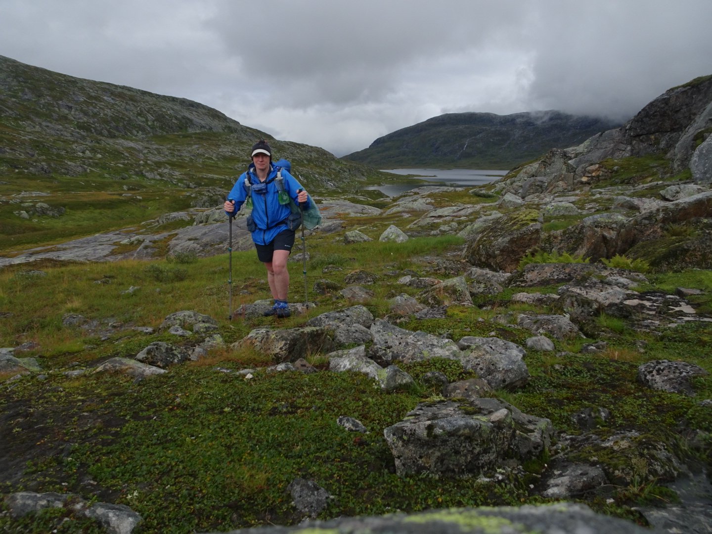
I had decided to go with extra clothing today which included a windproof hat over my cap and under my rain jacket hood. I put on my windproof jacket under my rain jacket and my merino gloves and waterproof gloves. This kept me comfortable and I am glad I went with the extra layers.
When I departed the wind died down to a more reasonable level and the rain was varying between light and medium and continued to do so all day.
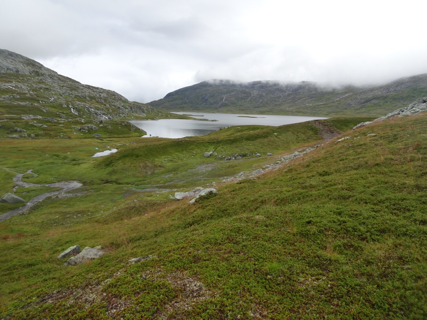
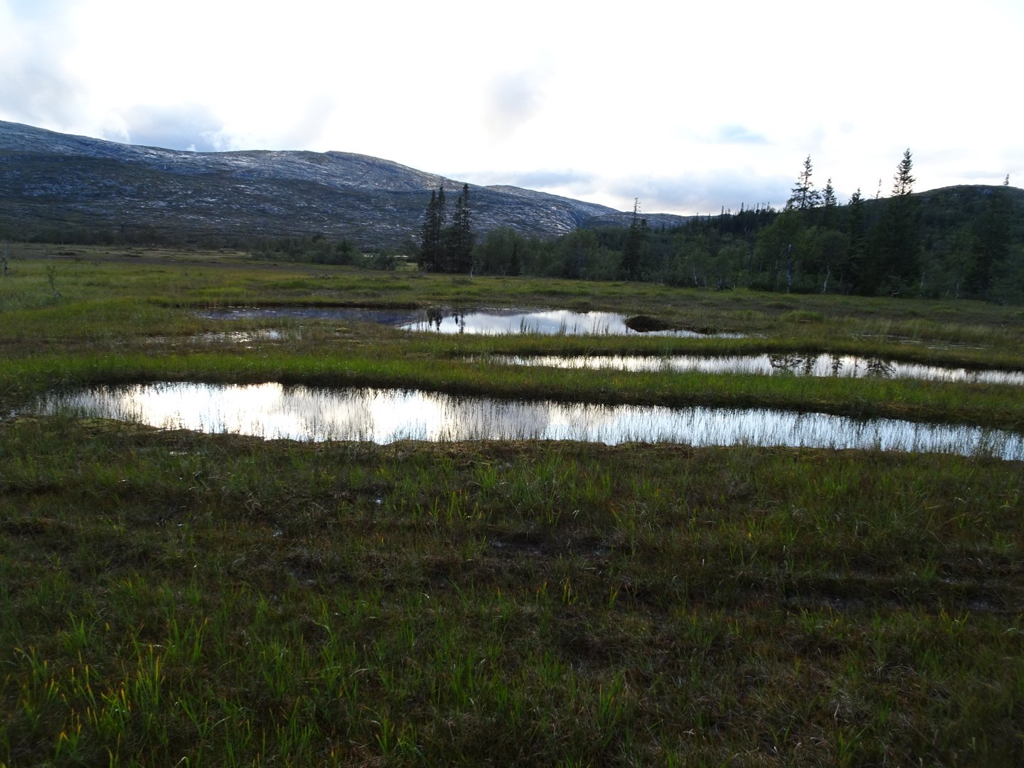
It was interesting walking to start the day. I was following down the lake edge and this was an area of lots of little ridges and hills so there was lots of small ups and downs and weaving between the hills. The ground was rocky and there were numerous small lakes and swamps. Despite the rain I was enjoying this part, even if it was slow going.
At the bottom of the lake was an area where the river was transitioning from big lake, to smaller lakes to river. When it became a normal river it was easier to follow and the terrain slowly started changing from the rough ground to a smoother side of a hill which was easier walking. It was here that I saw the first of many reindeer herds of the day.
The river changed back into a confusing area of lakes so I kept well to the south of these until it became a river again 4km later.
Now was the part that I was most concerned about when selecting this route. There was a big river that I needed to cross. All of the route options I looked at for coming through Borgefjell National Park involved at least one big river crossing, unless you take the route, that many do, which involves taking a water taxi. I had decided this river was more likely to be crossable as there was a track that started on the other side of the river. However there had now been 3 weeks of rain so I was expecting the river to be high.
As I came to where the lakes narrowed to the river my heart sunk. It was a wide and strong river dropping height quickly which made the flow very fast. Definitely too much for me to cross. I didn’t lose hope though, I had 2.5 km of river to find a crossing point and if I did not find a point to cross it was on to Plan B which involved a lot of walking to find somewhere else to cross.
Thankfully it was only around 500m more until the river widened and there was a flatter section so the flow was reduced. I estimated it would be about mid thigh height which was fine as long as the flow was not too strong.
This is the first big river I have crossed and therefore the first time I have done my pre river preparation. This involves putting my satellite phone around my neck under my shirt and putting my cell phone and wallet in my jacket chest pocket. This meant if I got in trouble and had to ditch my pack I could communicate and identify myself. I had nothing in my hip pockets that would be damaged by water so did not empty them. I took off my gloves and put that in my jacket chest pocket and pushed my sleeves up. I also got out my survival blanket (silver foil type) and put that in my jacket pocket as well.
Now prepared I started across. The flow was actually less than I was expecting and there was no vibration on my hiking poles, though it was still strong and I had to use some strength to move the poles in the water and place them securely. I took my time ensuring I had at least 3 points of contact on the river bottom at all times. I knew the section about ¾ of the way across would be the most difficult as that was the fastest flow. It was really strong and I did have to brace a bit more. It was also slightly deeper rising from mid thigh to crutch level – brrr! There was only 2 meters of this and then the river got shallower and I was safely across.
Relieved to get across the river I was happy there should be no more major issues for the rest of the time in the National Park.
I quickly picked up the track which, while very boggy, was clear to follow. I passed a hut that was all locked up and a km later another hut which had the small entry room open but the rest locked up. While I didn’t need it I think this setup is excellent as it allows emergency shelter if needed, without allowing people to damage the private hut. It has been something I have found surprising in Norway, most of the huts are locked. I would have thought with such extremes of temperature there would have been more huts open. Maybe people are causing too much damage to the huts. I think that is one advantage in the more simple huts in NZ. While they don’t have the couches, cutlery, plates and pots like the DNT huts do, as there is less to steal or damage they can be left open so those in genuine need can access them anytime.
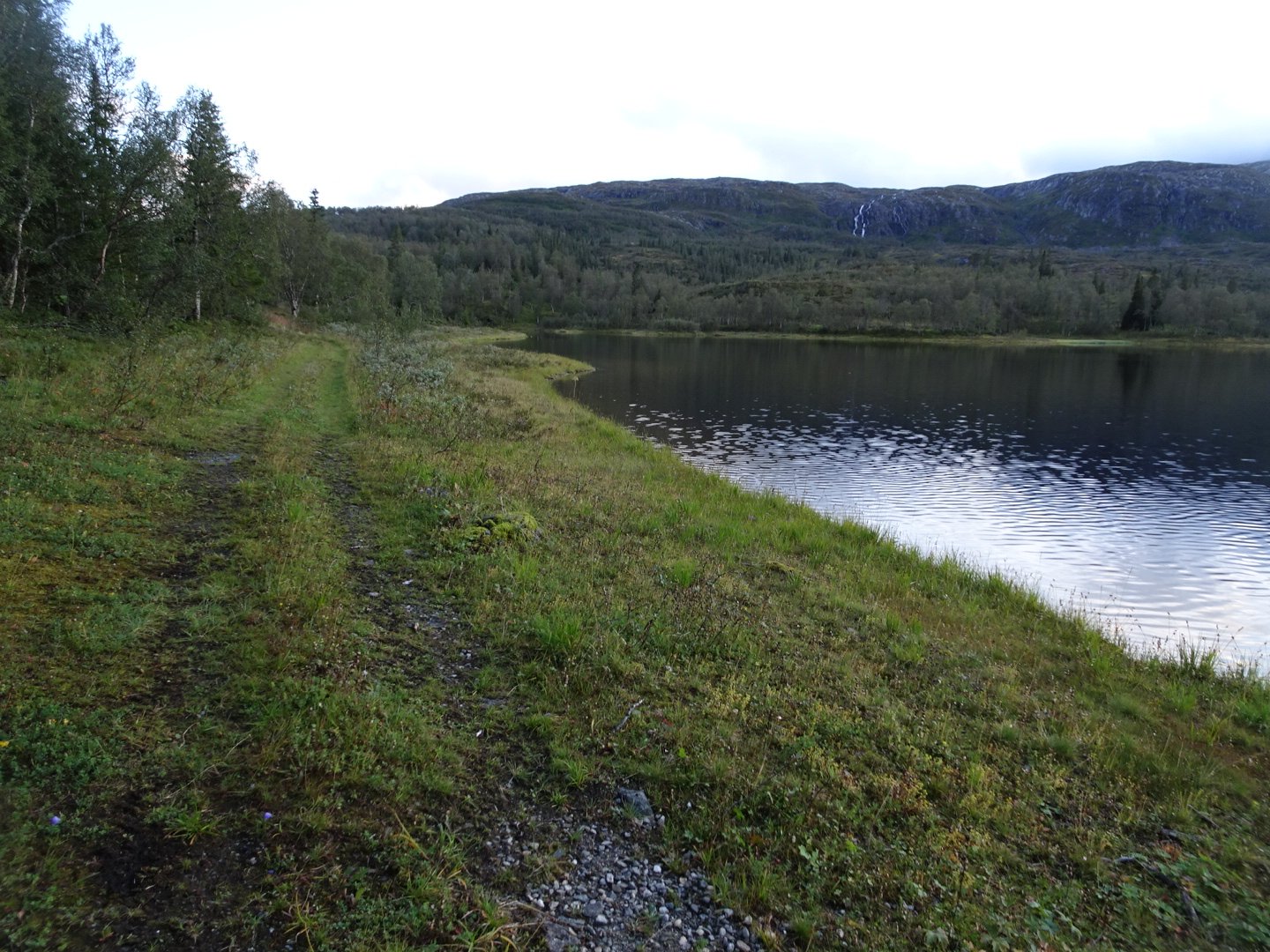
From that hut the trail disappeared, earlier than I was expecting. This was not a problem though. Navigation was simple as I was now following the North side of Lake Jengejvatnet to the end of the lake.
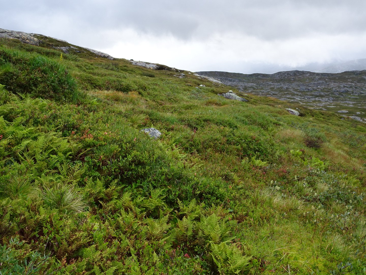
I started high up the hill but when I saw that the ground near the lake edge had flattened out, mainly into swamps, I dropped down and it was easier travel. For the last couple of km there was a reindeer track to follow. As I came around the corner and the end of the lake came into view the terrain changed to the large rock slab that I enjoy.
I climbed slightly and then kept the same height as I moved around the hill. Just as I started this climb it stopped raining for the first time all day and shortly afterwards there was a brief glimpse of the sun. The next two hours were alternating light rain and no rain with occasional bursts of sun. This let me dry out my shorts and rain coat.
I stayed high up the hill, surprising 3 different groups of reindeer who were not expecting to see a human up there.
I had a slight climb to get over a saddle and this was my first navigation hiccup, I came over the saddle 200m too far west so had to walk along the saddle to get in the best spot to start the descent. Not bad navigation for the last two days, though my route choice did make it easy with nice big objects to navigate off, and the open terrain meant I could see quite far ahead, even through the rain.
It was a long descent to get down to the valley bottom where I joined some vehicle tracks which then connected to the track marked on my map near a couple of cabins.
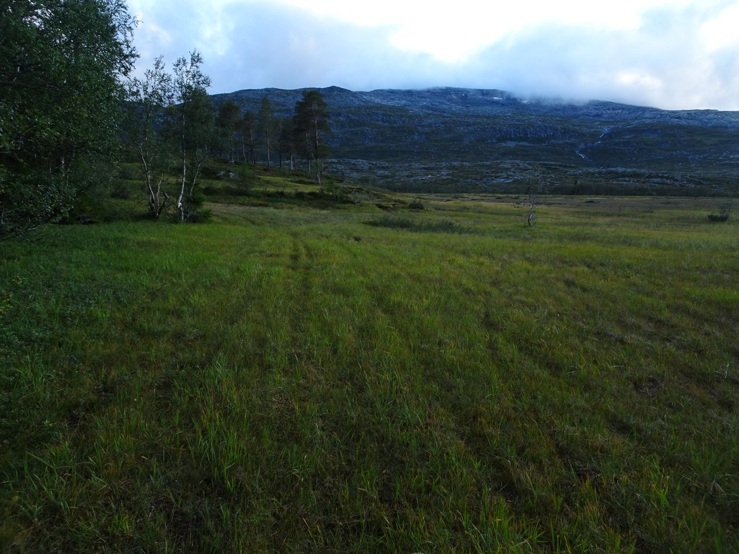
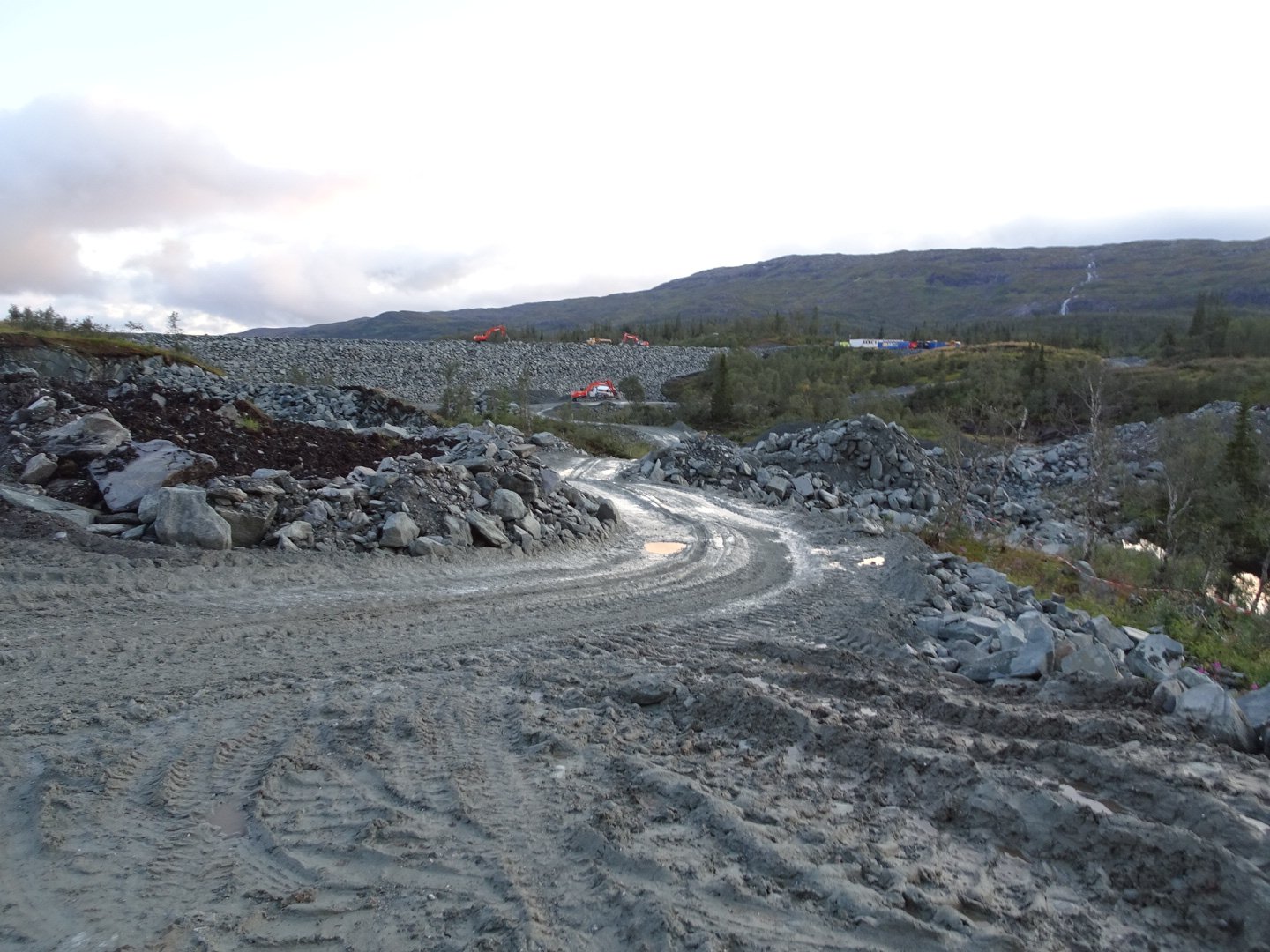
Now it was an easy 4 km walk on a dirt 4wd track in the trees with the river alternating between normal river and big lakes.
At the end of the road was a dam under construction and a road bridge.
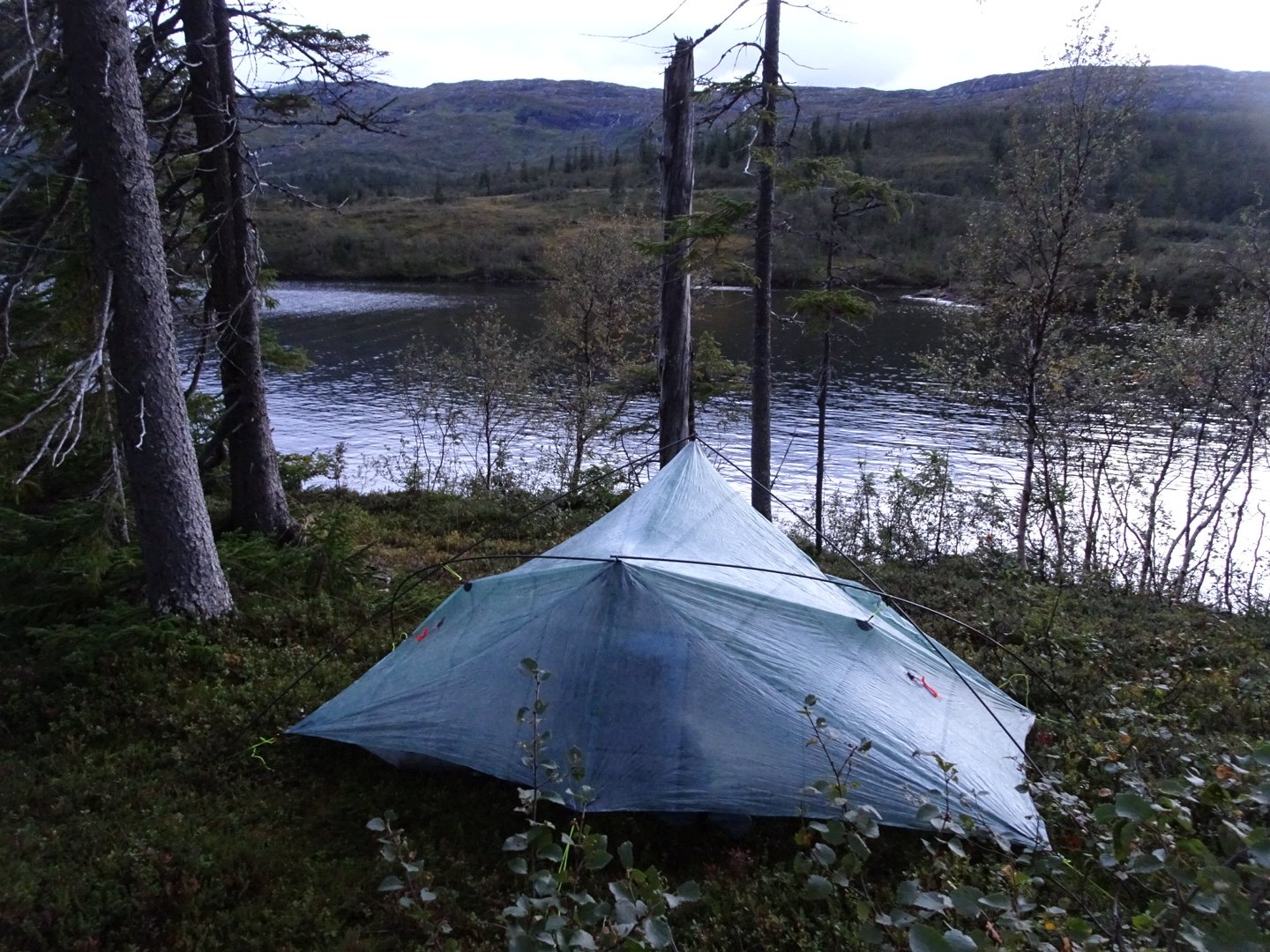
While it had stopped raining now it was still cold and I was wearing my gloves still. Despite the late start too the day I was happy with my progress and decided to find somewhere to camp. I found a nice spot looking over the lake which wasn’t too swampy and after a quick dinner was asleep.
Views: 288