
Around The Mountain, Mt Taranaki, New Zealand – Day 3
Waiaua Gorge Hut to North Egmont Visitors Center
28 km, total 41.5 km, 11h 55m (0820-2015)
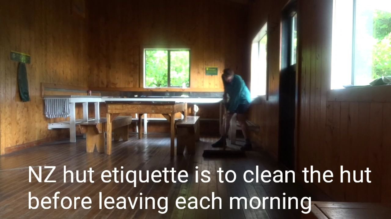
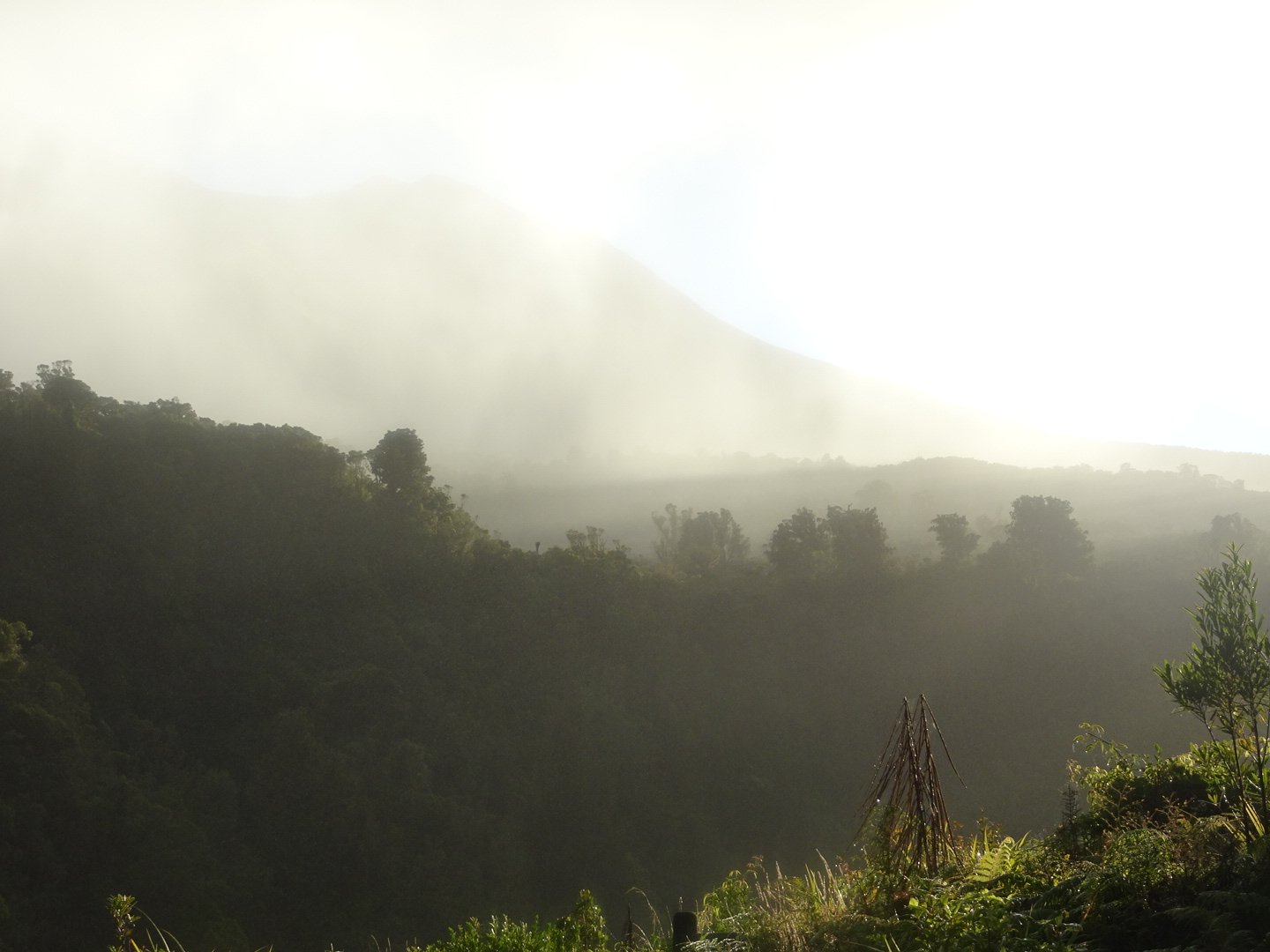
I had a restless night for some reason and was already awake when the German Girl started getting ready. I got up once she left and had a leisurely breakfast before cleaning the hut and leaving about an hour later. It was a misty morning.
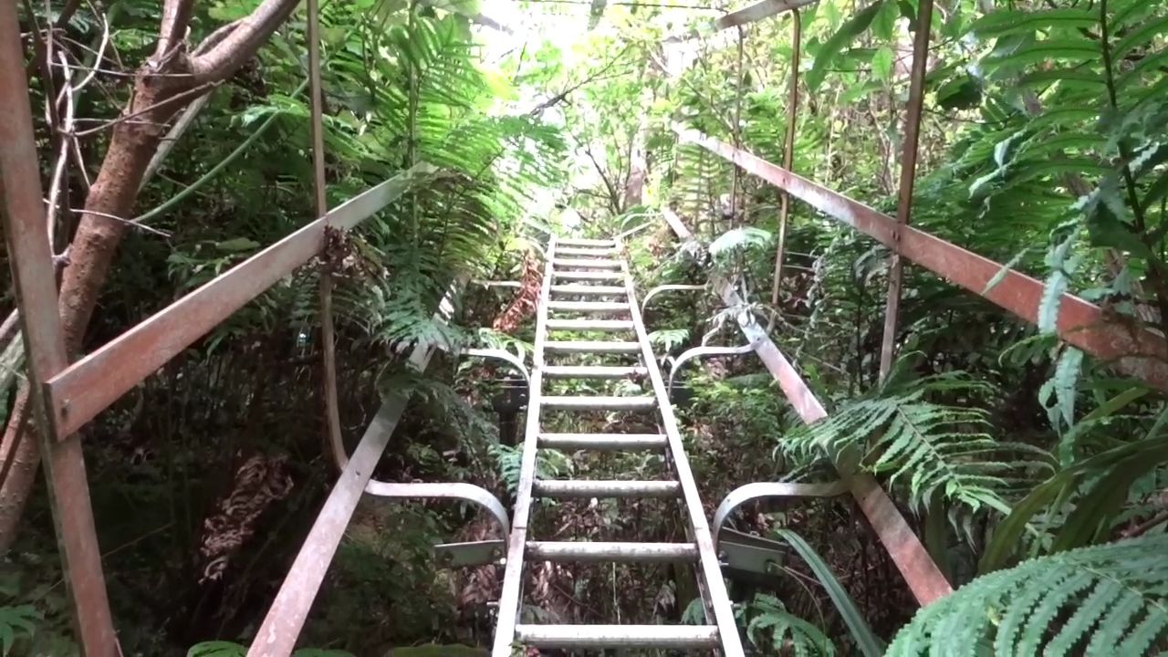
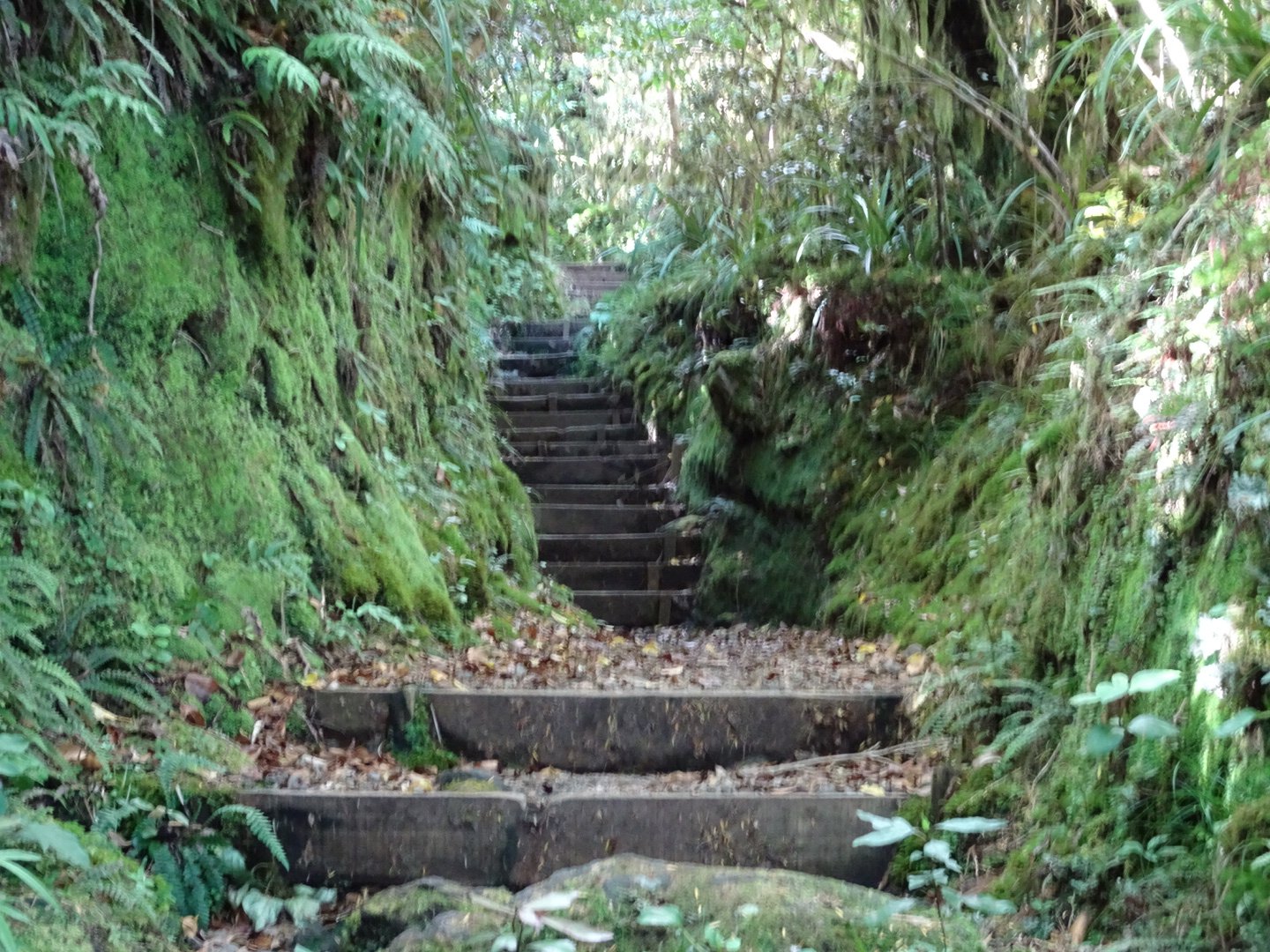
On the map I had seen “Ladder” marked near the hut so I was curious to see what it was like. It was only a short walk from the hut to the ladder and finally it was revealed. It was a good size ladder with a safety cage to stop you falling off it, though in my mind you would still fall but would bounce off the safety cage on your way down. Once down the main ladder there was another smaller ladder then down a steep track to the river.
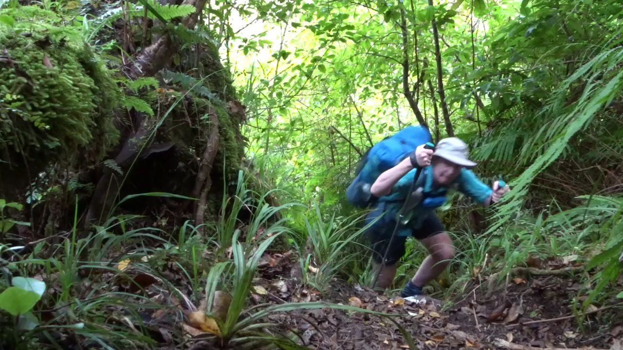
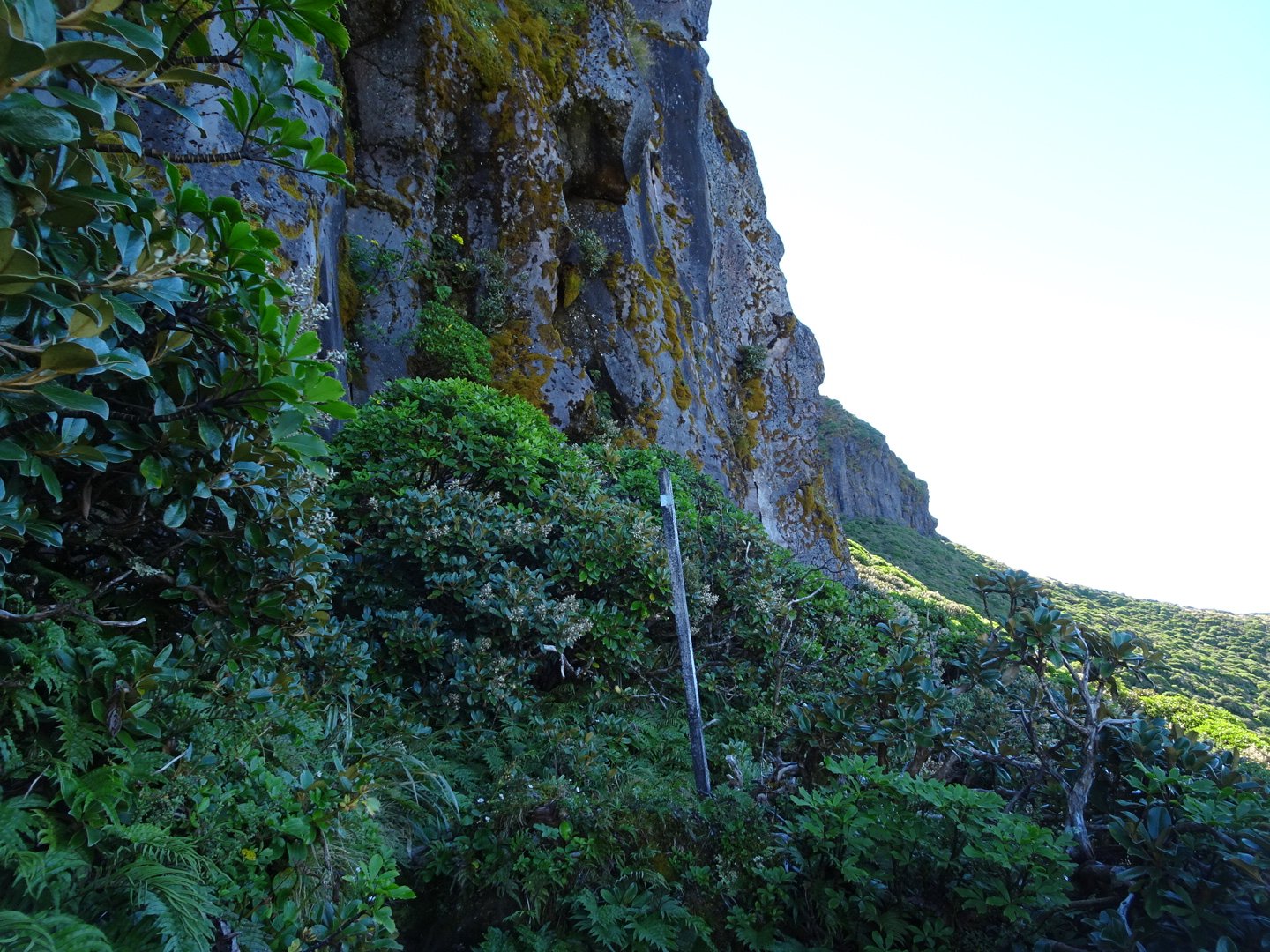
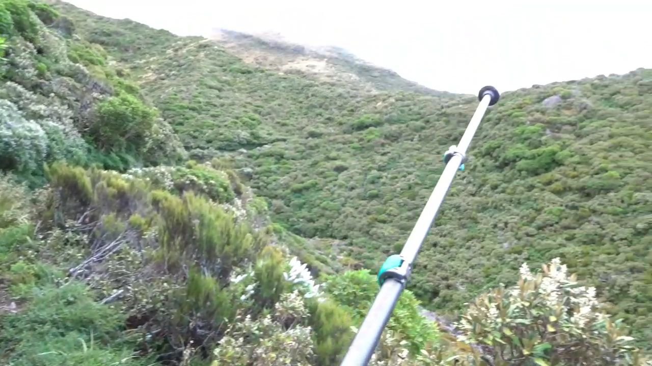
The river crossing was really easy, though a little cold on my feet. The climb back out of the gorge was steep but once up it was a lovely track running along the gorge. The vegetation meant I could not see the gorge often but the presence of a large drop off to my left was felt.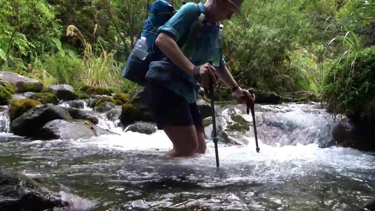
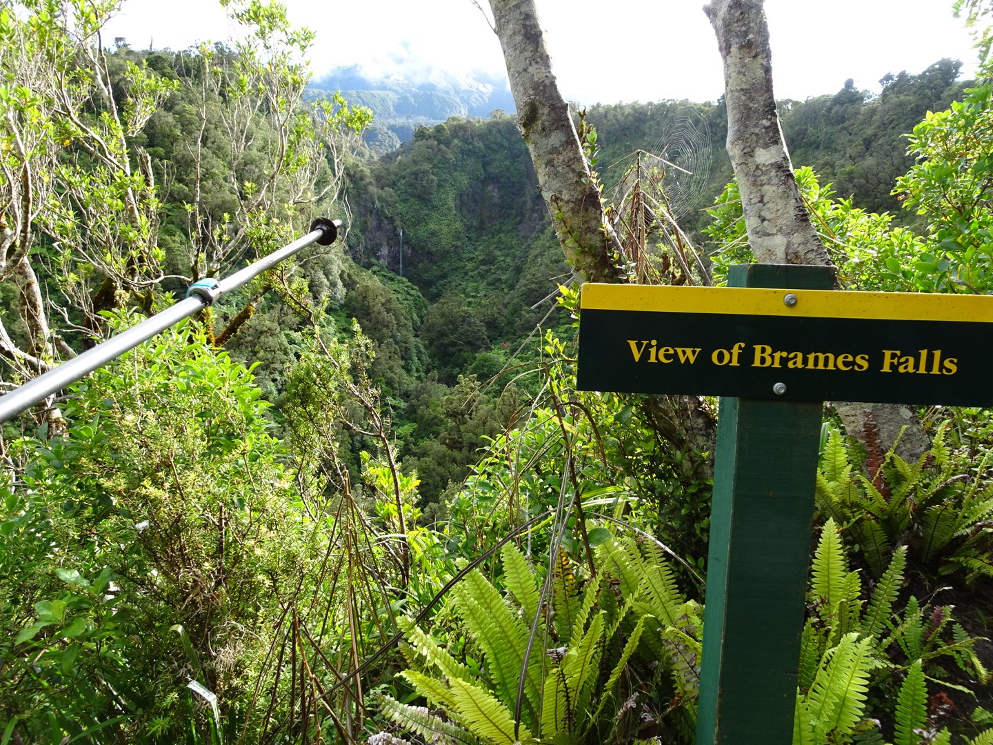
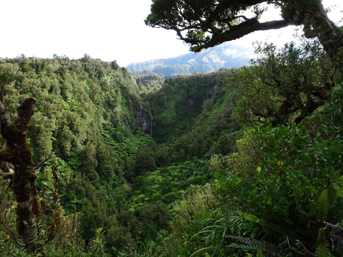
There was a sign at Brames Falls and it could be seen well into the distance but there was a much better view point 500m down the track.
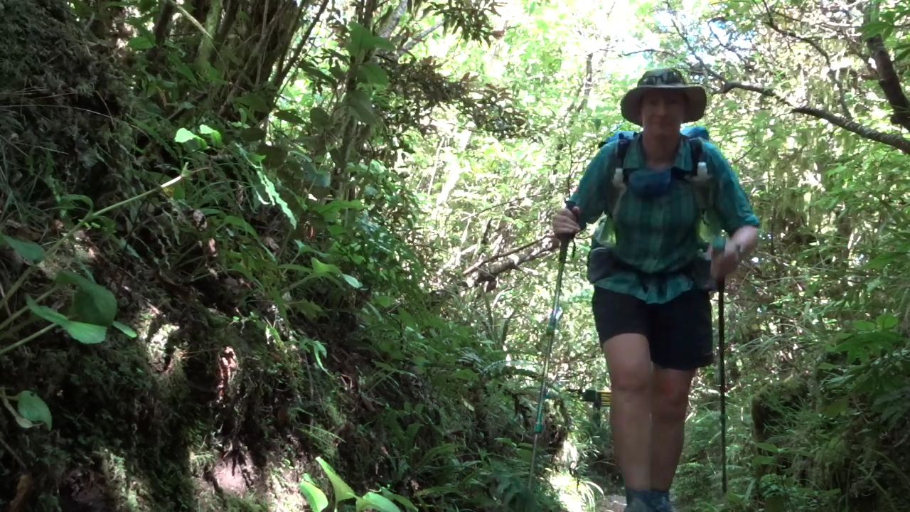
From the Falls it was a steady climb for a couple of km and to my surprise I caught up with the German girl at 1015. She was going very slowly and looked to be in pain. I asked her how she was and she was stiff from tired muscles and her knees were sore. I offered bandages for her knees and Ibuprofen but she said she was fine so I left her to it.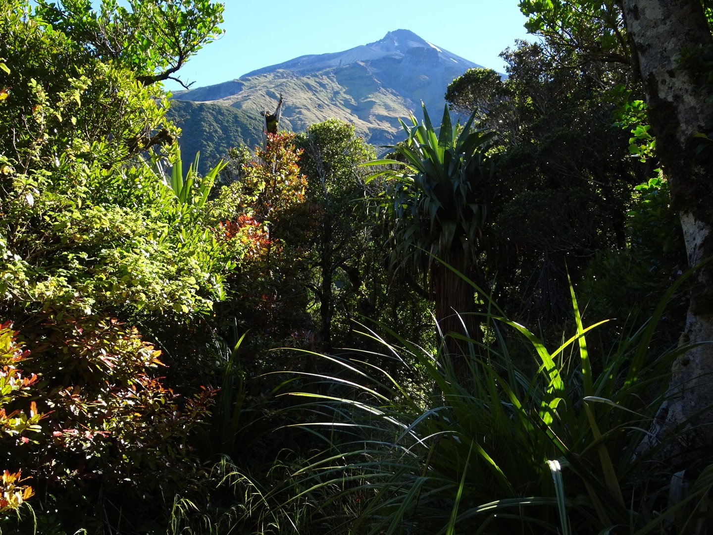
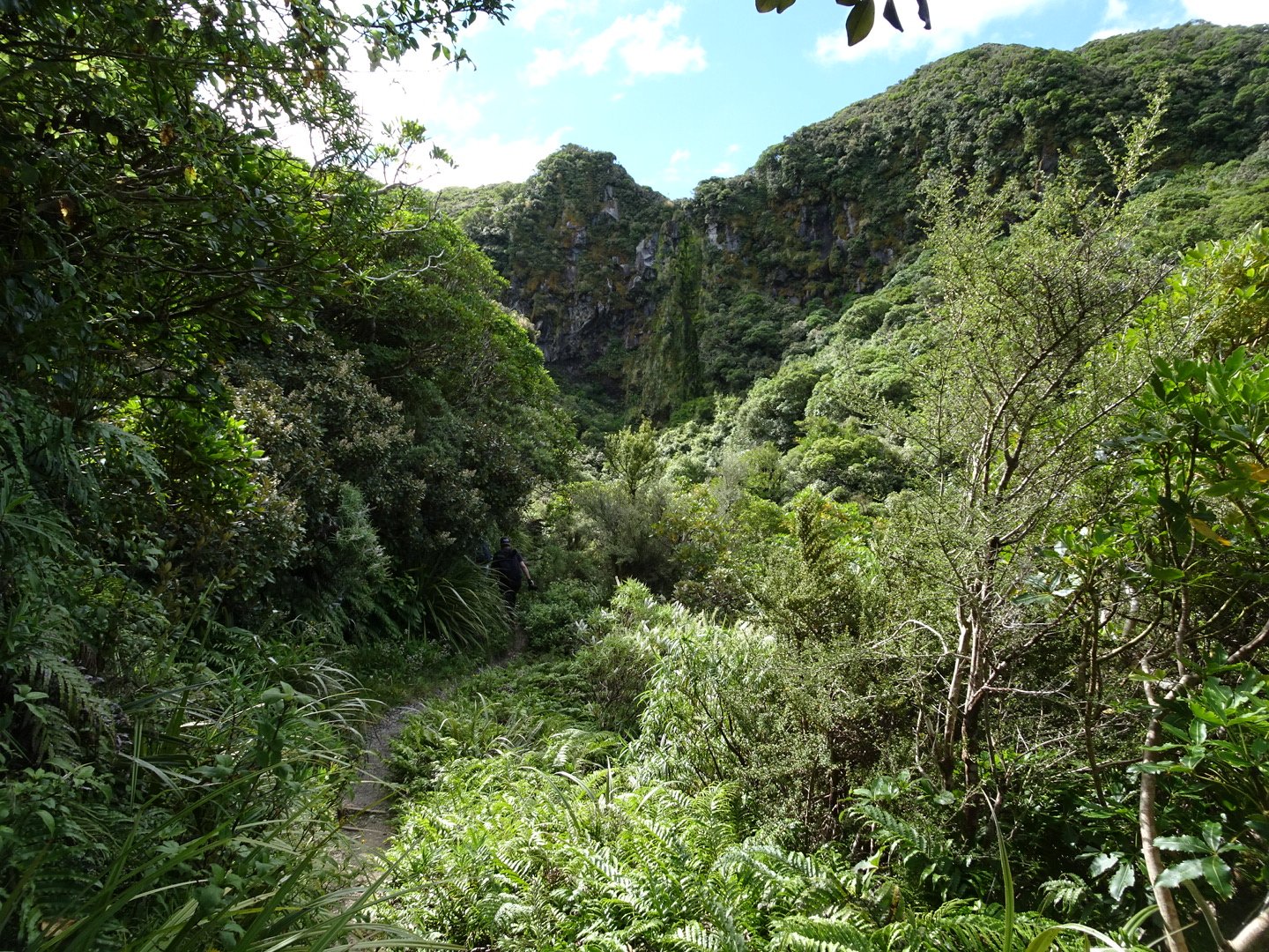
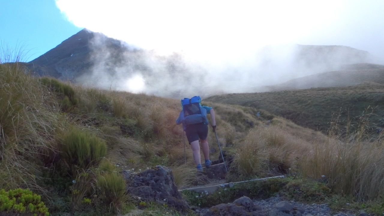
The track got much steeper and then cleared the bush. At this point there was a gorge in front and I was able to look down the mountain to the Tasman Sea. The climb continued up the ridge. Just before a steep down hill the view ahead opened up and I could see the track continuing through the scrub up the steep ridge. It was not clear if the track then climbed up some large cliffs or continued along the bottom.
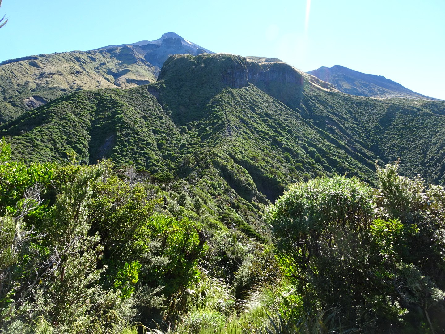
The track is visible up the centre ridge then followed base of cliffs to the right
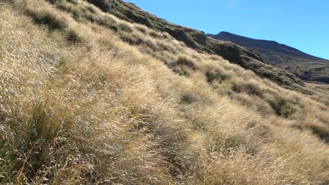
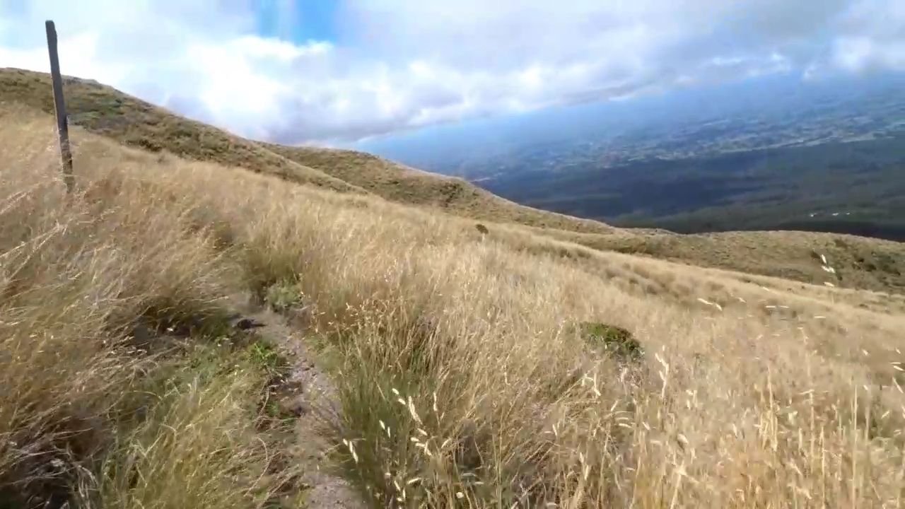
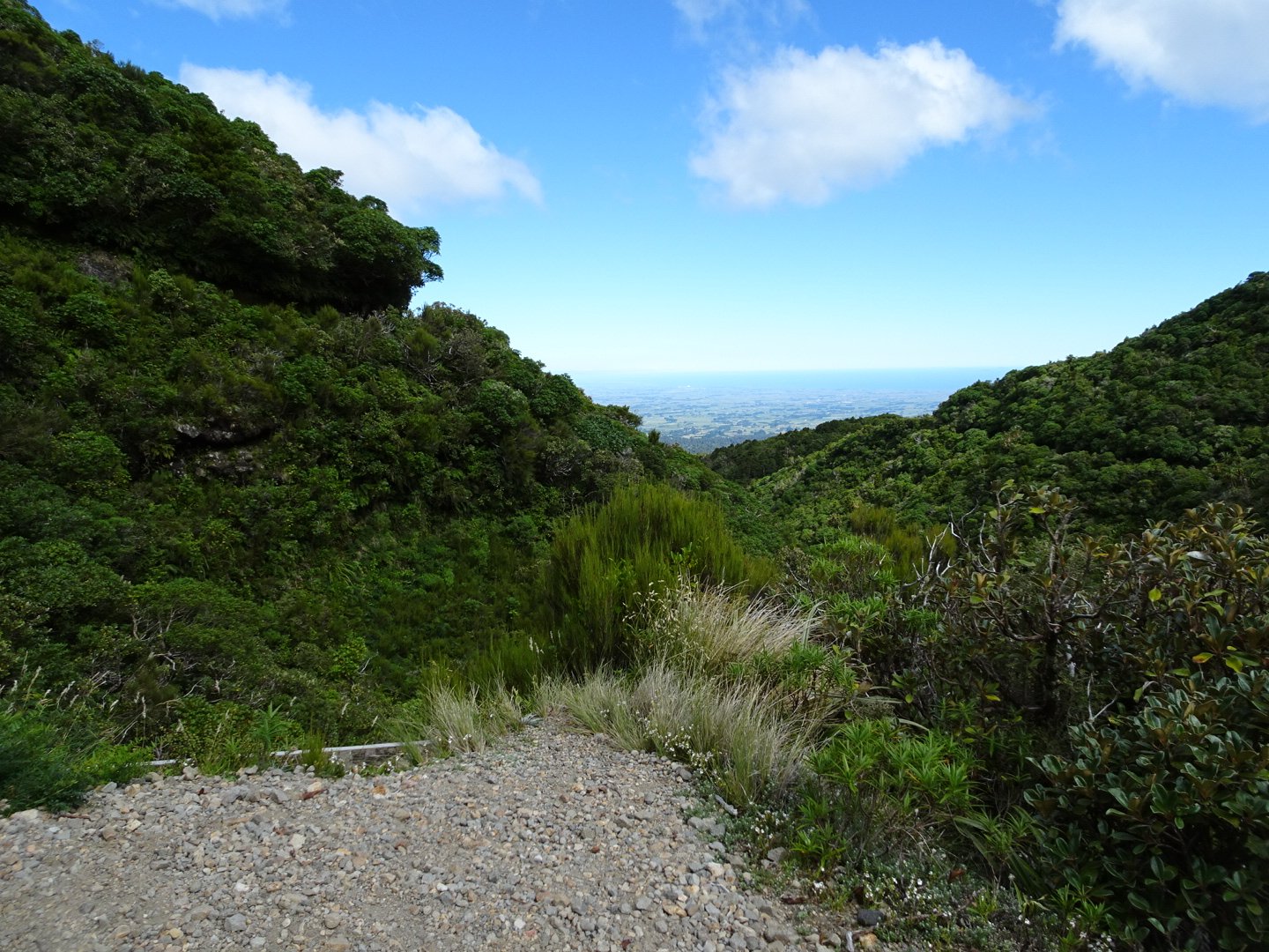
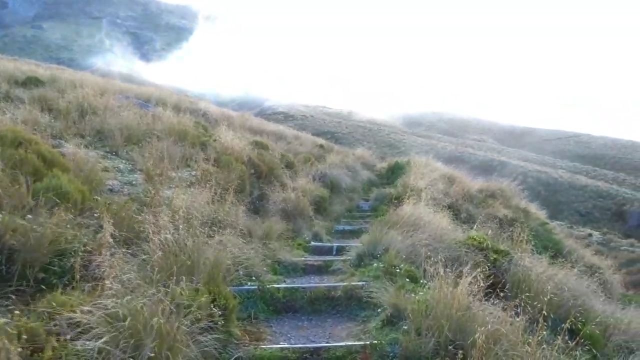
The track seemed to get steeper the higher I climbed and I was stopping frequently to look at the view (and rest!). The line between the bush of the Egmont National Park and the farmland was so distinct and even, apart from a couple of small areas where the bush pushed into the farmland.

Looking back down the hill
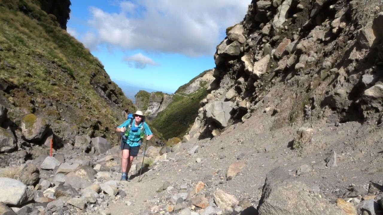
At the base of the cliffs the track skirted along the base of the cliffs and this was a challenging and fun section, though there was one point which got my adrenalin going. The track was pretty rough and there were steep sections of rock to climb up and over. The most challenging section required leaning out around an overhanging cliff and stepping down onto a root, with nothing but air below this. Then I had to swing my weight around the overhang to step from the root to solid ground. Definitely not something that would be fun with a heavy pack. After a bit more scrambling I emerged from below the cliffs into a tussock covered track.
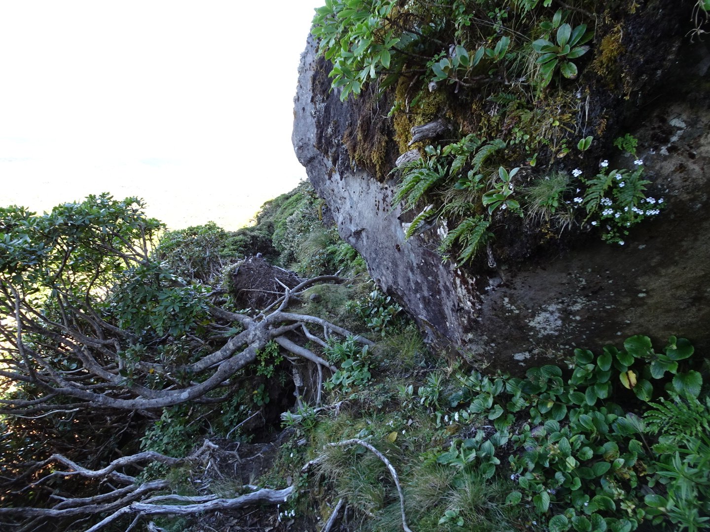
Tricky bit stepping down to roots and around cliff
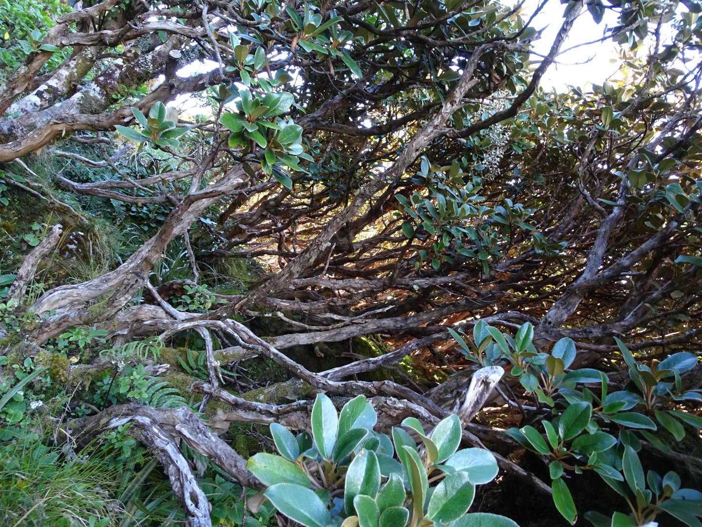
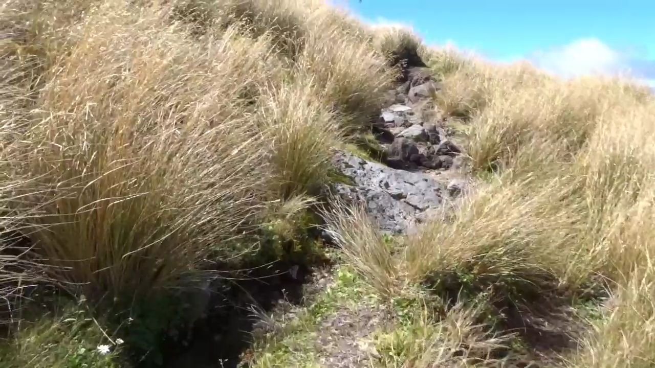
Naively thinking the going would be easier I discovered that the track was barely discernible under the tall and thick tussock.
This is the track through thick tussock
I was feeling my way through the tussock when suddenly there was nothing under my foot. Luckily I had not fully committed my weight and was able to stop from disappearing down the hidden 1m deep crevasse where the water had cut a narrow but deep furrow down the hill. With my heart racing I dropped down with control and scrambled up the other side. Now on the lookout there were two more of these hidden drops before I reached the edge of a big gully.
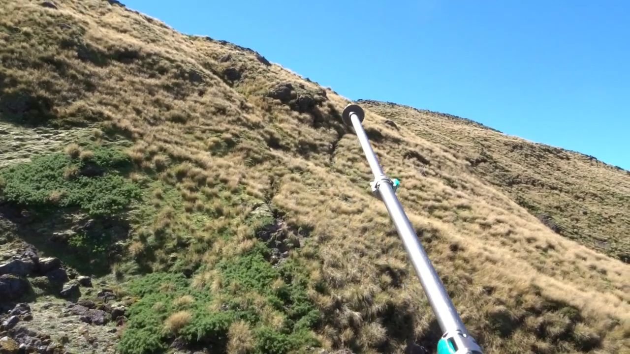
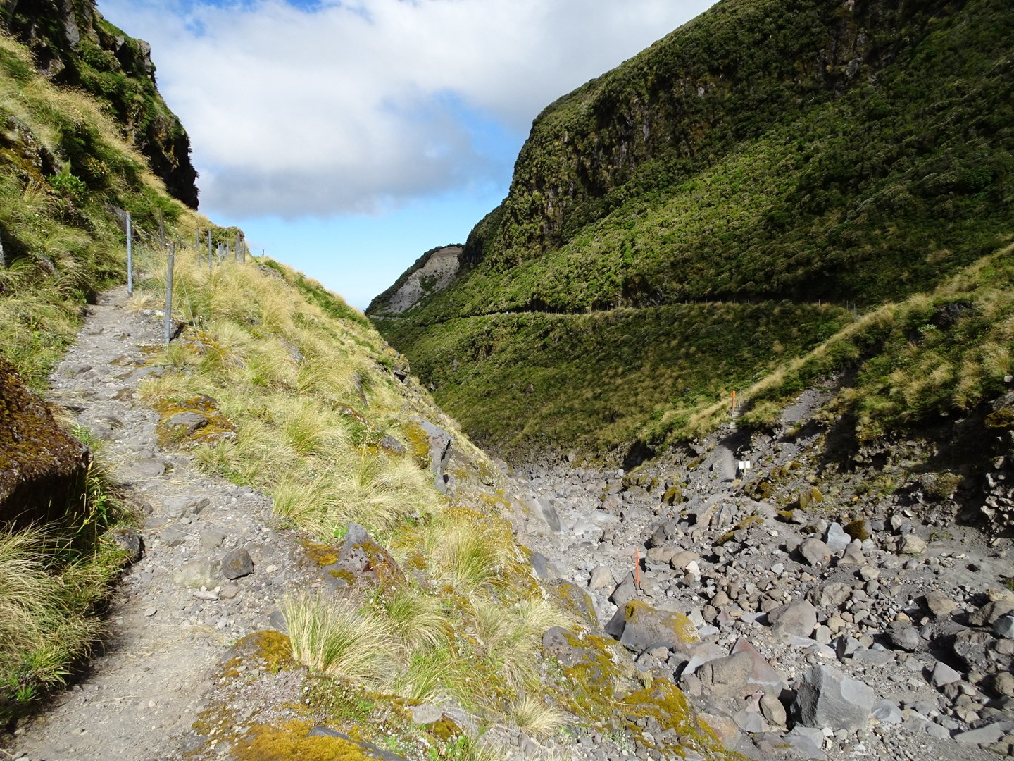
I could see a marker pole at the bottom and on the other side but the marker poles seemed to take me in another direction, though this was just to allow a bit of a zig zag (switchback) down the steep drop. Once across the dry streambed it was a sidle below some cliffs then a steep climb between a break in the cliffs to reach a plateau. Thankfully the tussock was a bit thinner and the track was easy to see. I could see a ridge where I thought the track would go but between me and that was a number of steep gullies to negotiate.
The route looks flat but most of the gullies are hidden
Climbing out of one of the gullies. My pole marks the top of the track 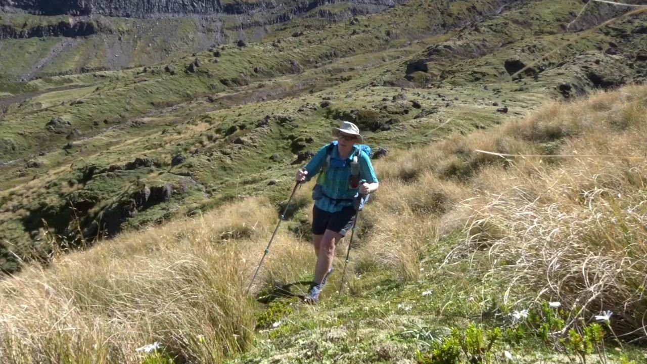
Once I was on the ridge I was able to look back at the route I covered. While the distance was not much it took an hour to cross the challenging terrain.
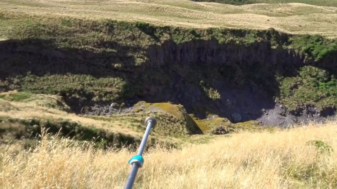
Now the track was easy to see and sidled around the hill with only a few gullies. I could see a lake below and a hut at the end of the lake. This was Lake Dive Hut, the next stop for most people.
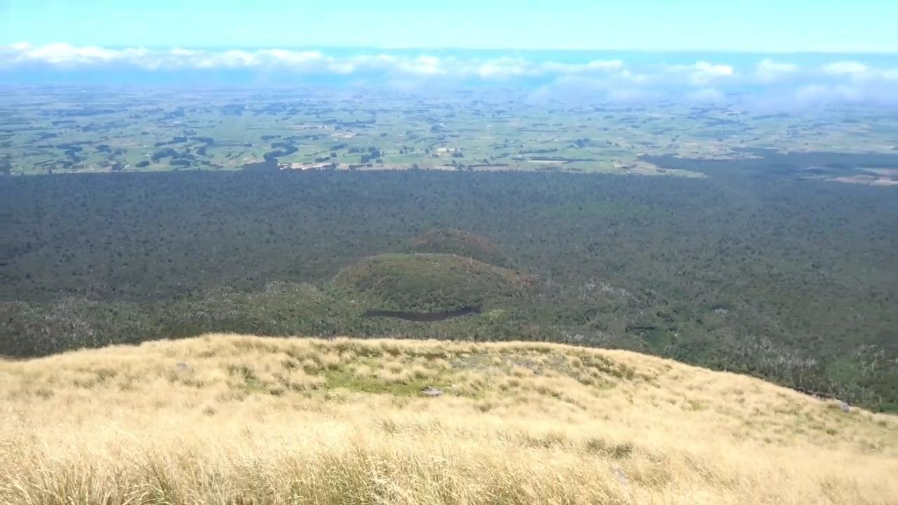
The dark strip in the lower centre is the lake and the hut was at the left edge. It is s long way down
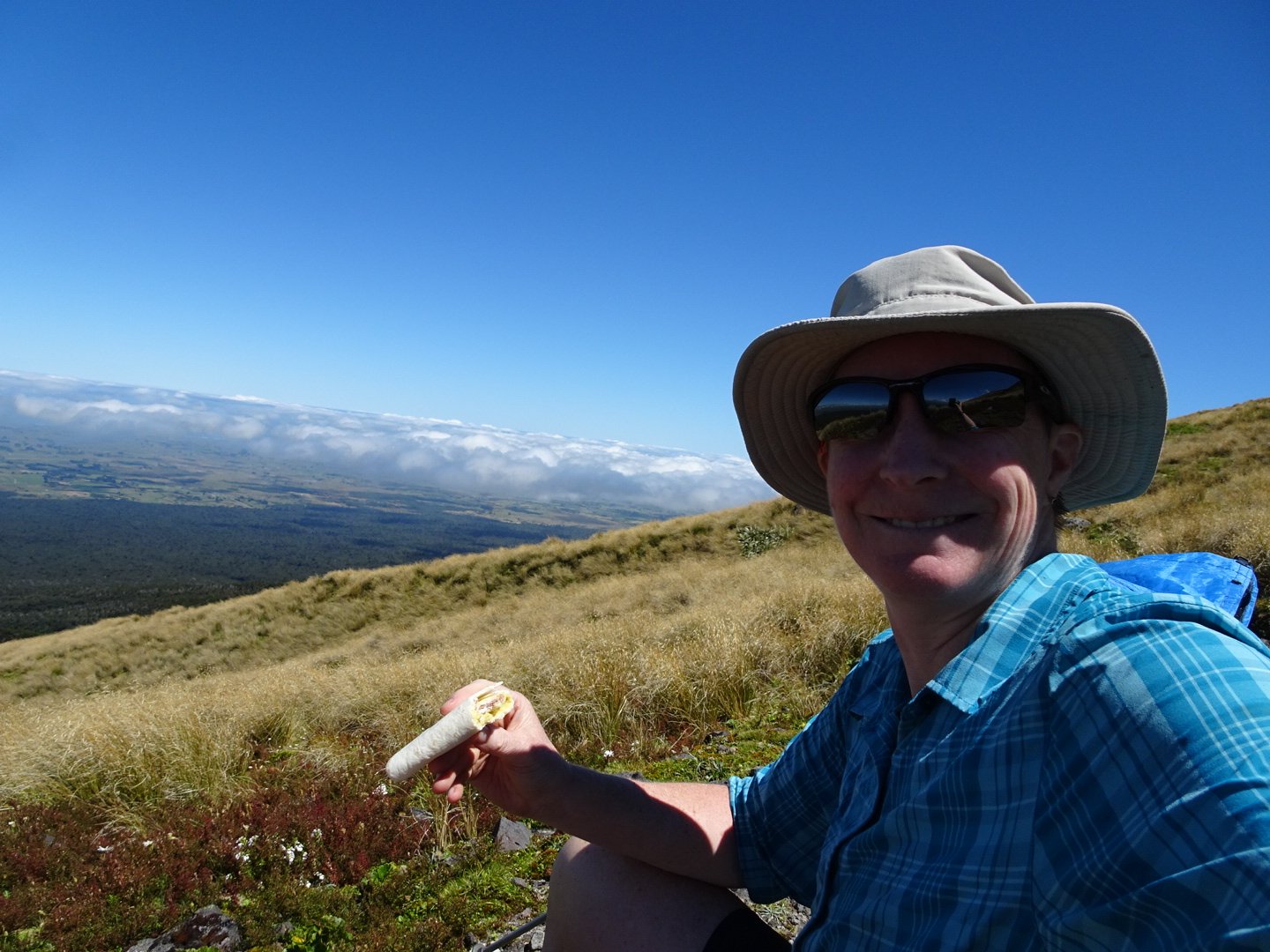
I decided to give this a miss as there was a significant drop to get to the hut and then the route was to climb back up again before continuing around the mountain. It was only lunchtime and I was feeling good so decided to push on to Dawson Falls. I had a quick stop for lunch, enjoying the sun and clear views.
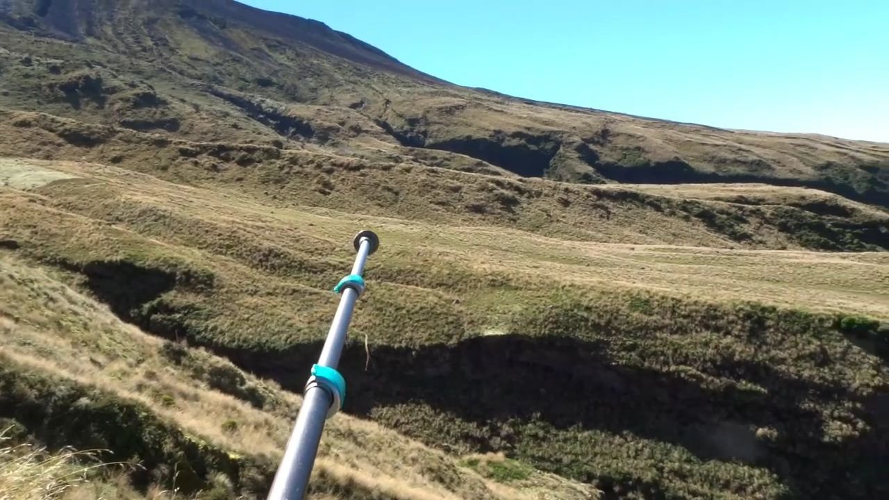
From my lunch stop it was a decent track following the contour line in the tussock until meeting Fantham’s Peak Track.
I could clearly see the route this track took heading down the mountain to the Dawson Falls Visitor centre. It was a long way down and almost entirely stairs which turned my legs to jelly. I stopped a couple of times to rest my legs.
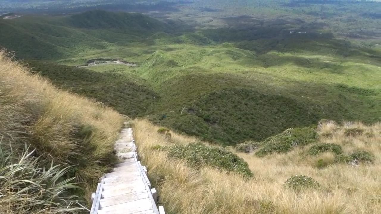
Fantham Track, stairs all the way down to the visitors Center in the top right of the photo
The trail dropped back into the bushline and many stairs later I crossed a bridge and then emerged to civilisation of Dawson Falls. There was a café right opposite the trail head, so I had an Ice Block before continuing.
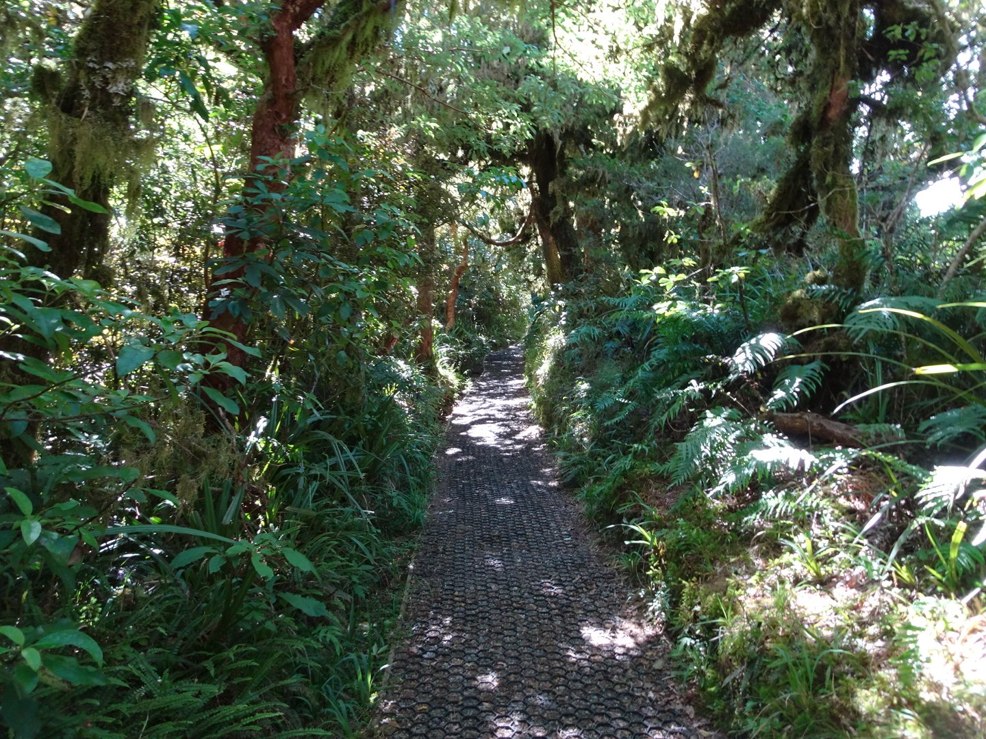
I was starting to get tired so decided to stop at the first decent campsite. From the Dawson Falls carpark there are heaps of day walks and I followed the Wilkes Pools Track which was wide and gravel over a plastic mesh which would make it wheelchair accessible.
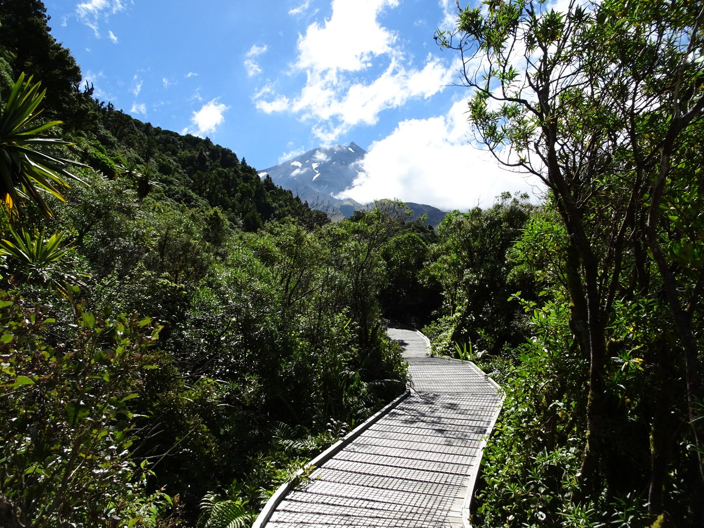
The track was nice and I could see the mountain clearly. Once over a big bridge the track started climbing up, though at a nice easy gradient. It was a pretty track with views back down the river and down the mountain at the plains, while looking up was some cliffs, hills and the mountain.
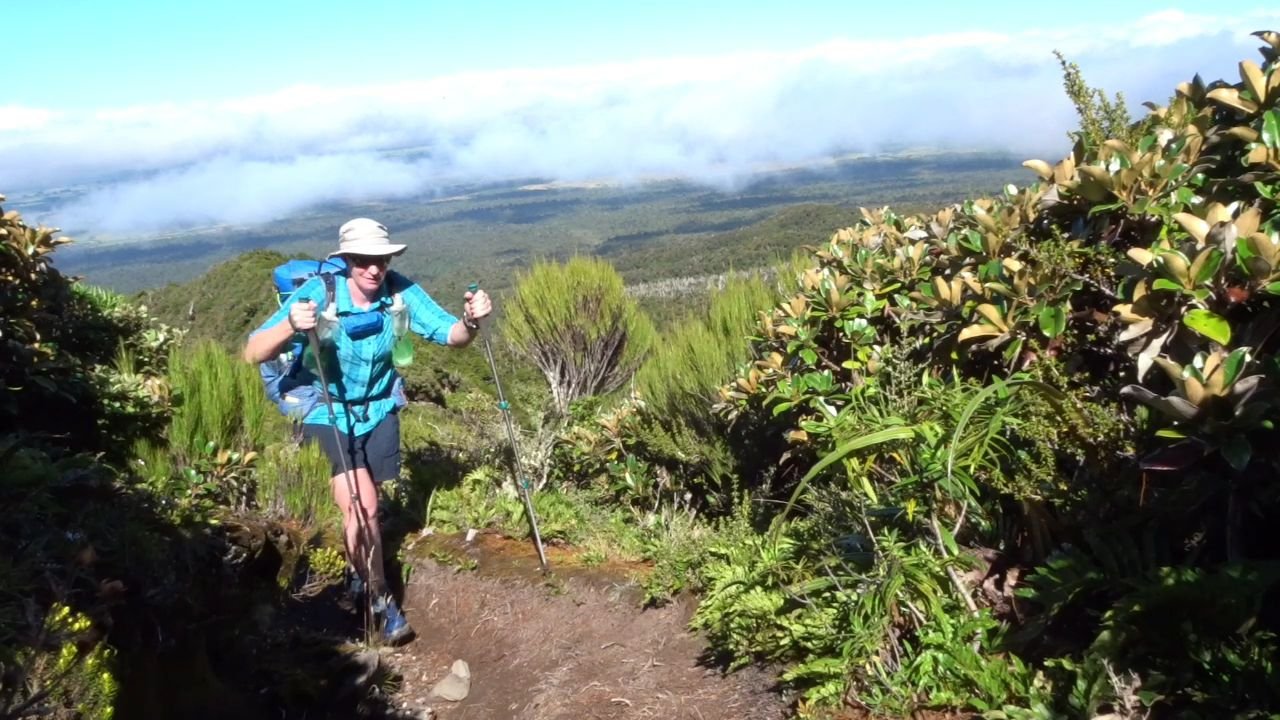
There was a couple that passed me as I was taking photos and we leap frogged all the way as we were stopping frequently for the views.
At the top of the track was a jarring entrance to a construction zone where the Ski Field Carpark was being expanded.
There had been no campsites heading up and this seemed to be a hangout for freedom campers so I decided to continue on.
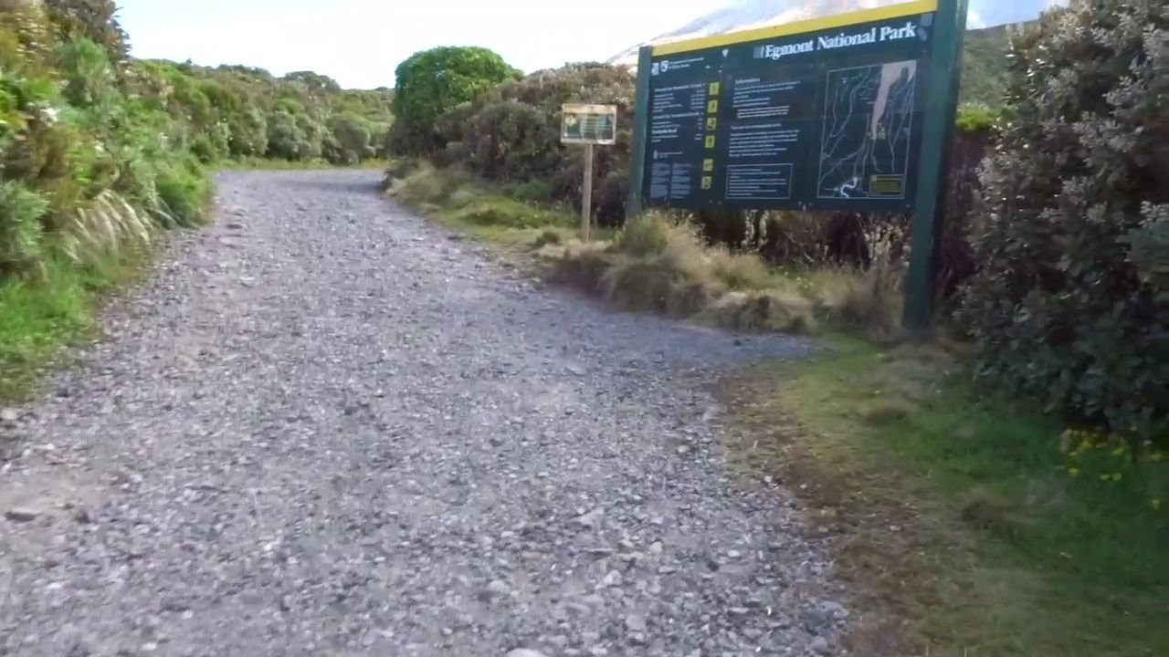
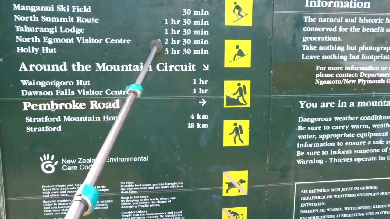
As the track left the carpark there was a large DOC information sign which said it was only 2 hours and 30 minutes to the North Egmont Visitors Centre. Though I was tired I decided it was not worth setting up camp when I was so close to the end, so I decided to push on.
I followed a gravel road up the mountain to the site of the flying fox. As I approached I saw a load of tourists using this to get over the steep gully to the ski lodge on the other side. Unfortunately for hikers we had to take the long way dropping down the side of the hill to the stream and then back up the other side to the Manganui Ski Field. There were two groups of trampers going the other way.
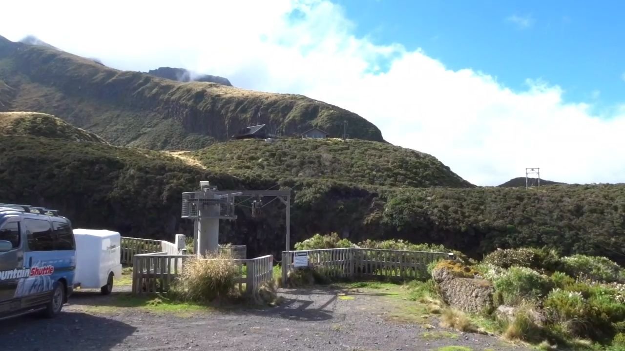
Flying Fox for tourists and skiers
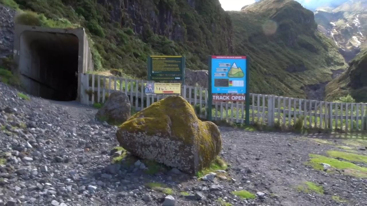
Tunnel and longer route for trampers
Route up other side of valley heading up to ski field
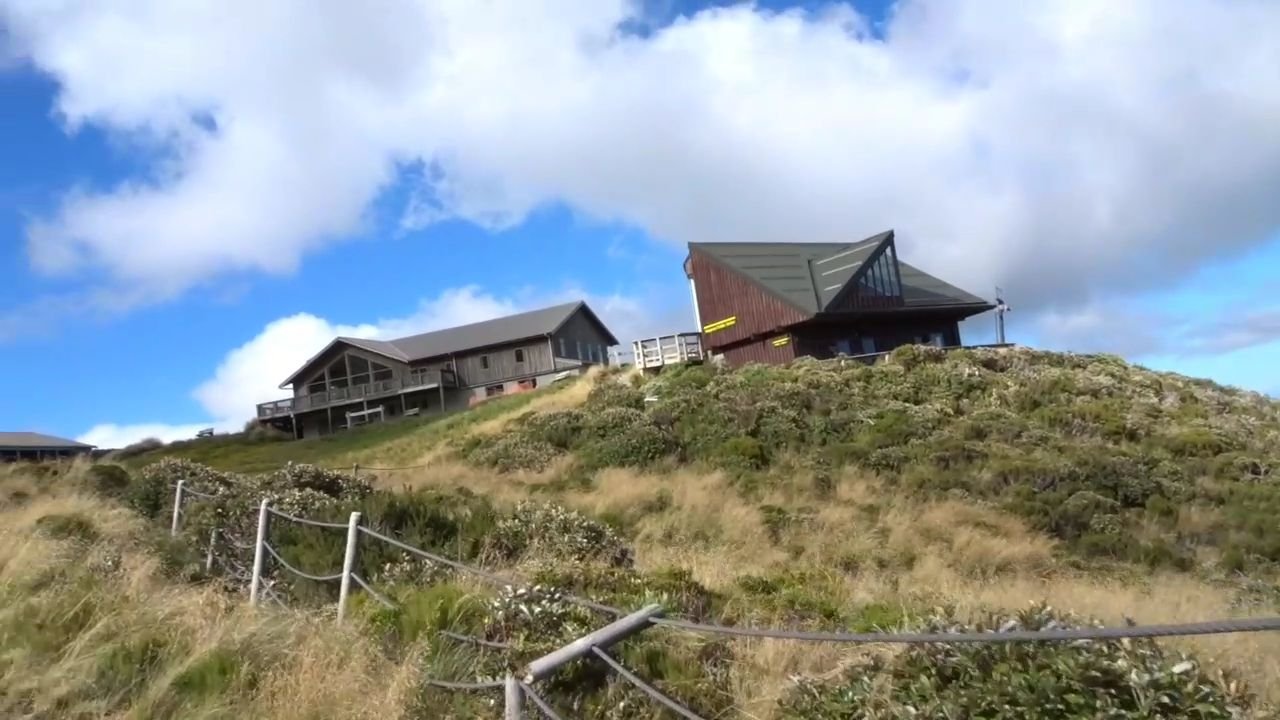
The toilets were closed but I had a look at the Public Shelter and this was very spacious. I was tempted to stay the night there but thinking it was less than 2 hours to go I pushed on.
The track was now a continuous cycle of following the side of a hill, dropping down to a stream and then following the side of the hill climbing up before dropping down again. This seemed to take ages, probably because I was really getting tired now, having been on my feet for 10 hours.
Down and up again!
As I got near to the track junction the mist started coming down the mountain and I lost my lovely views.
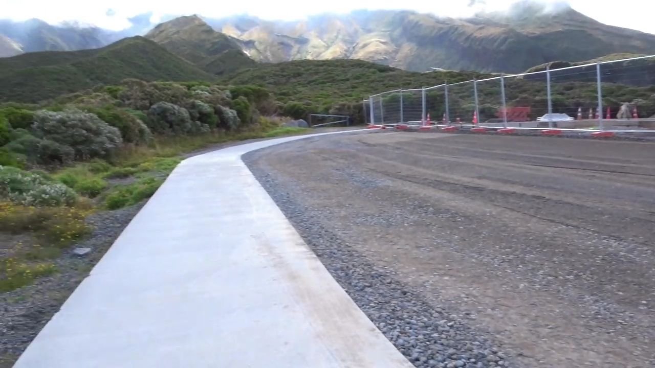
Finally I reached intersection at the privately owned Tahurangi Lodge and was on my way down. After passing a large TV transmitter tower I was now on a road and thought the down hill would be fast because of this. Unfortunately after a few hundred meters the road changed from gravel to home made concrete with rocks put in, I assume to improve the grip for vehicles on the steep road. Because of how it was made it was very difficult to walk on as my feet kept catching the rocks and lumps of concrete, so I was having to walk really slowly. This lasted for a km before thankfully the road changed to normal gravel again.
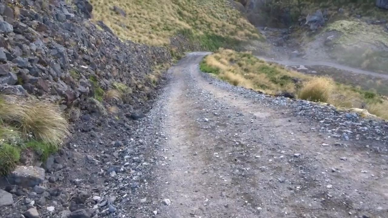
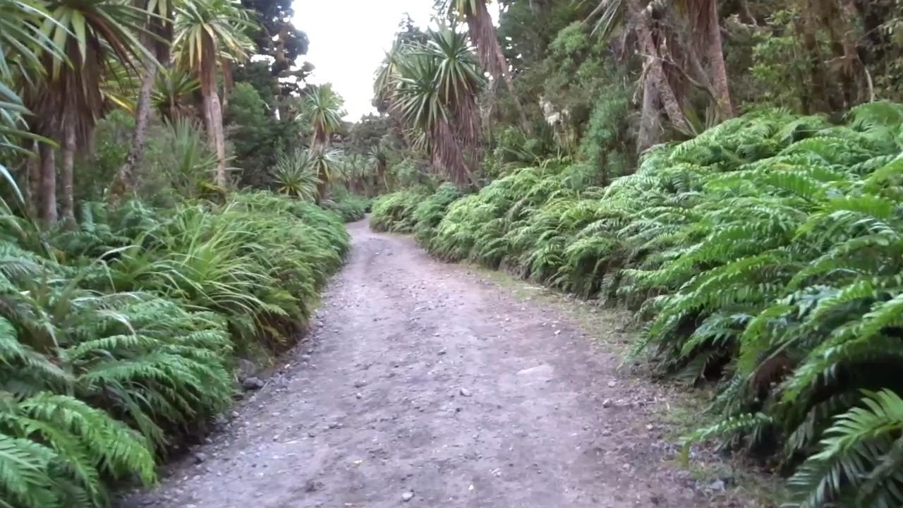
Nice gravel
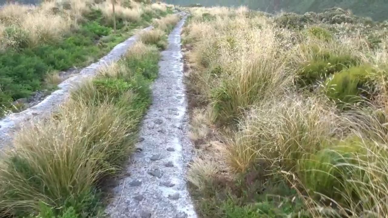
Not nice concrete
There were benches approximately every km and I was glad to sit down at each of them to rest my legs which were feeling like jelly from the continuous downhill and long day. There were a few people walking and running on the road and at one bench I came across a real character. He was a man in his 70’s with a huge old-fashioned external frame pack and a wood handled ice axe. He was heading up to the lodge for the night and then up the mountain the next day. We had a brief chat before he stormed up the hill, barely puffing. I continued my slow weary way down the never-ending hill. The 2 hour 30 minute track estimate from the carpark came and went and it was 3 hours 15 minutes before finally I reached a carpark. Unfortunately I discovered this was not the carpark and continued heading down hill to finally see the lovely site of my home on wheels sitting in the carpark.
Home! Benefit of a campervan, shower and bed immediately.
I was exhausted after the 12 hour day which was a lot to do with my lack of fitness. Thankfully freedom camping was allowed in the carpark so I was happy to have a quick shower and collapse into bed.
Overall the track is interesting and beautiful. There is varied landscapes and track conditions making it a challenging but satisfying experience. It is definitely not recommended for inexperienced trampers as it was a bit rough in places, but lack of fitness is not an issue as you can have much shorter days than I did by taking an extra couple of days stopping at the huts that I passed through.
Visits: 342