
Day 1-23 Mar 19. Starting at the Mexican Border
0 – 19 km (0 – 11.8 mi), Total Distance 18 km (11 mi). 6 hours 10 minutes (1130-1740)
I woke up just before my alarm went off happy that I managed to get a good sleep. Justin and I left just after 7. There were a few tasks that Justin needed to do and then we stopped at a bakery for breakfast before starting the drive to Campo.
It didn’t seem to take long and was freeway most of the way. One section had 10 lanes which seems a lot for a country bumpkin from New Zealand.
We made a quick stop in Campo to get a drink and last minute toilet stop before heading to the monument.
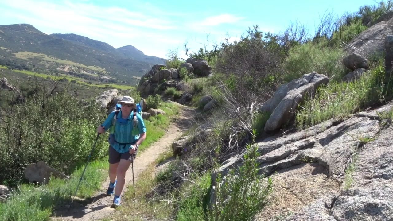
The terrain at the monument looked different from what I was expecting from having watched other people’s videos. It was steeper and smaller.
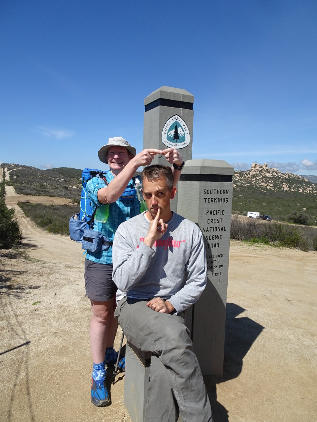
Justin drove up the step rutted track to the monument where a large black van and another car were parked. A French couple were having their photo taken and another man was leaving as I was getting ready. The PCTA host came over and introduced herself. Her trail name is Glow-in-the-Dark. She asked a few questions about my permit and then gave some trail information. Her role is to welcome hikers and ensure they have all the information they need to get through the first 100 km. It is a nice touch and I am sure it is really appreciated for nervous first timers as well as the experienced but new to this trail.
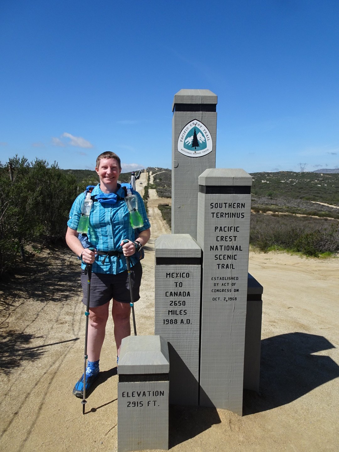
I then went to the monument and signed in with Justin playing camera man. Then photos by myself and with Justin before saying a final thank you to him for everything he had done. I confirmed the direction of the trail and was off.
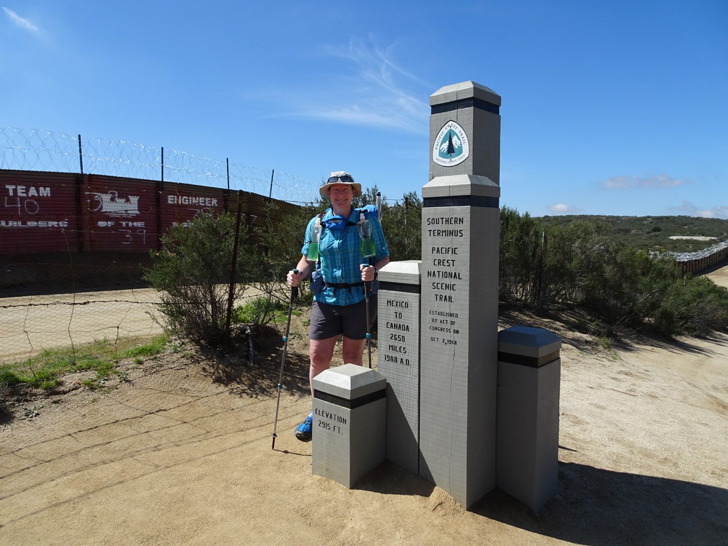
Finally after much planning and anticipation my journey has begun. While I was not nervous about gear or surviving on the trail, due to my previous experience, I was nervous about avoiding injuries. I was also really excited about the challenges ahead and to experience everything this trail has to offer.
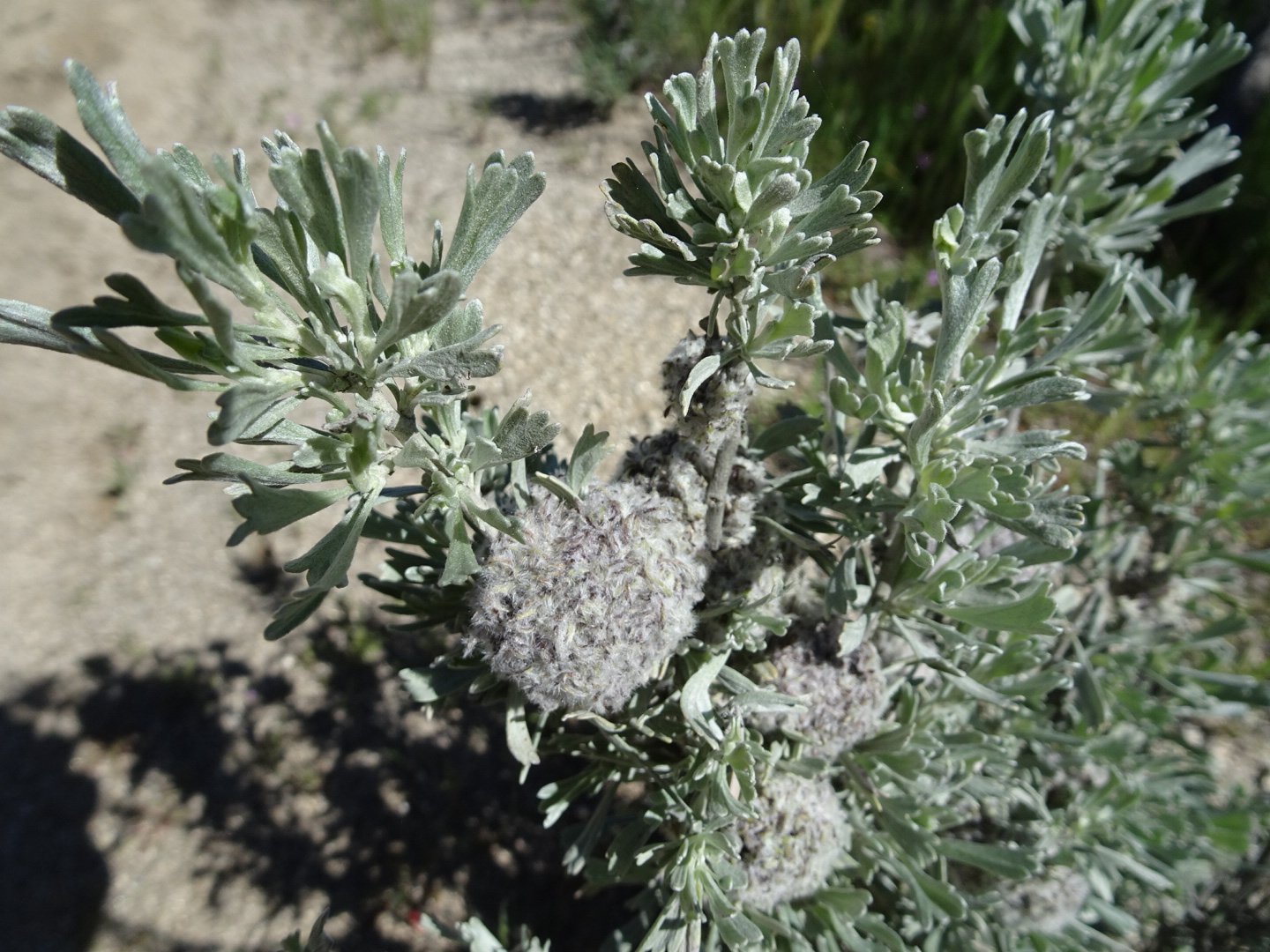
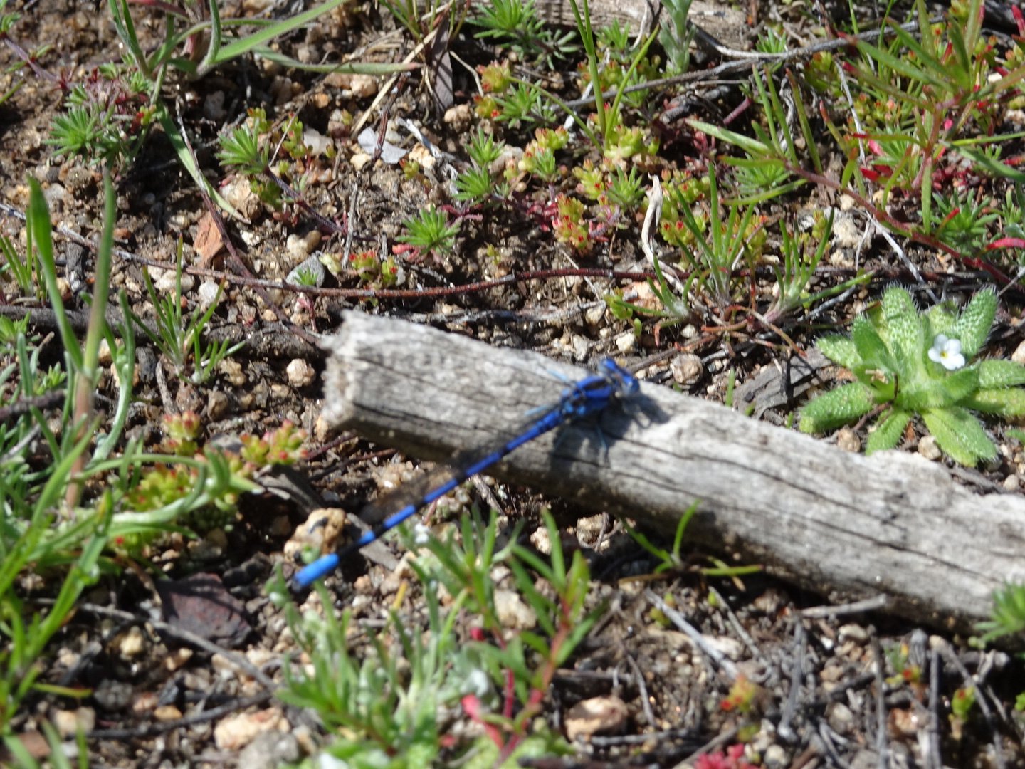
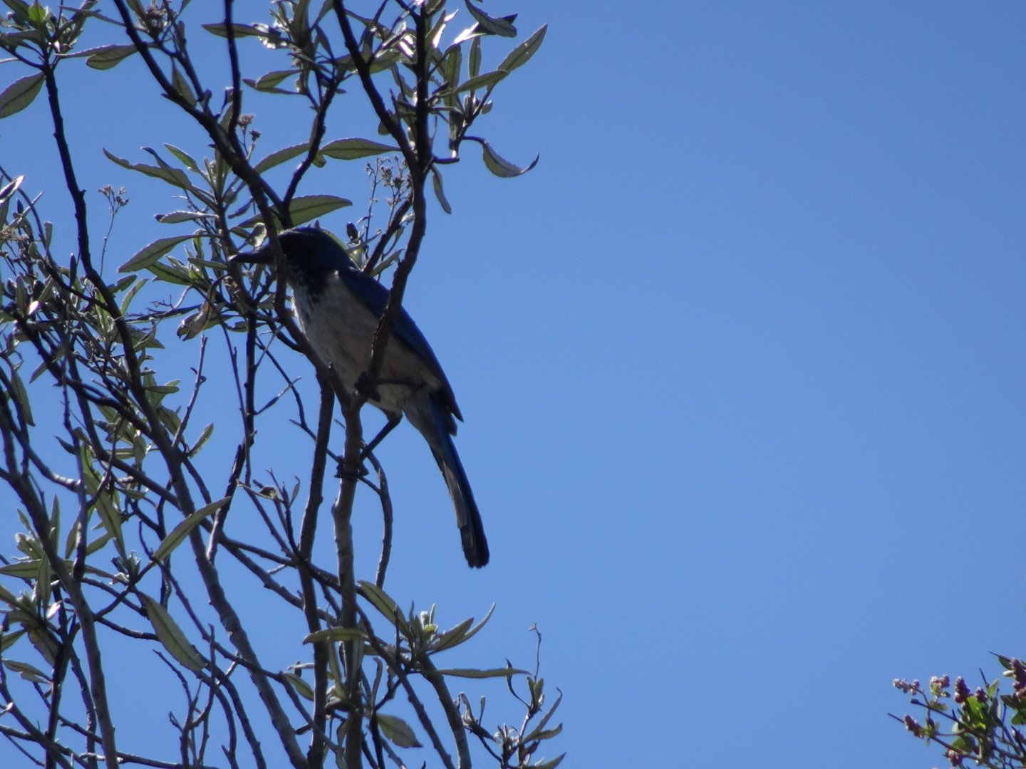
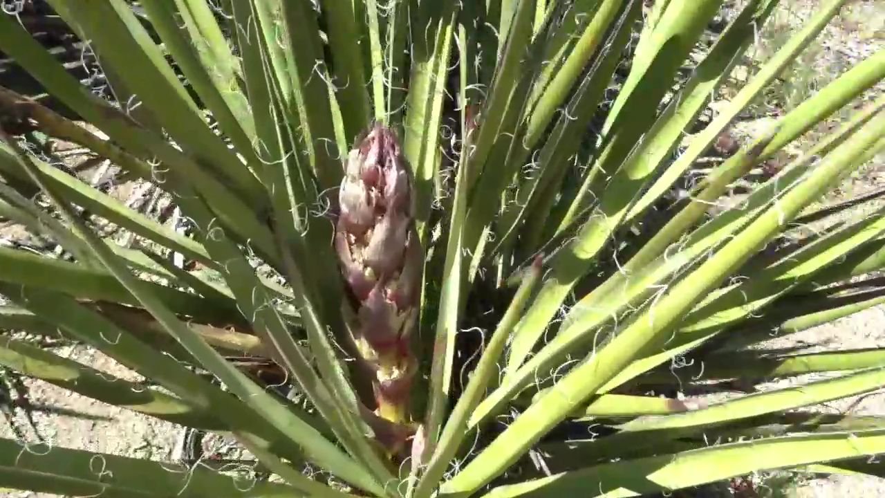
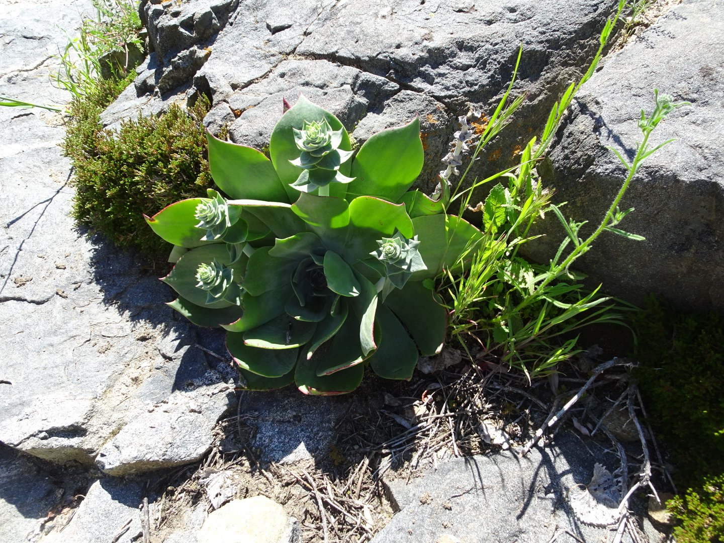
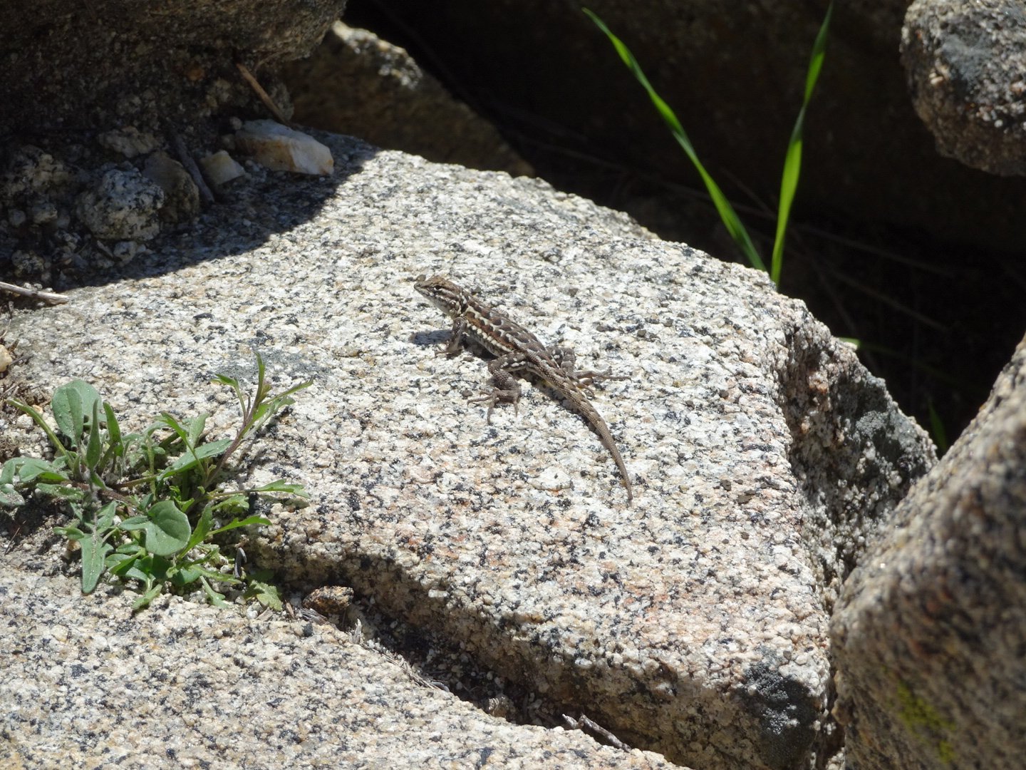
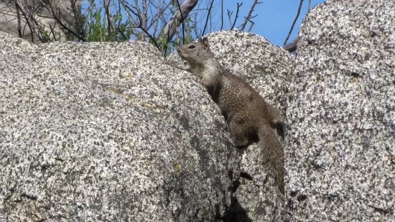
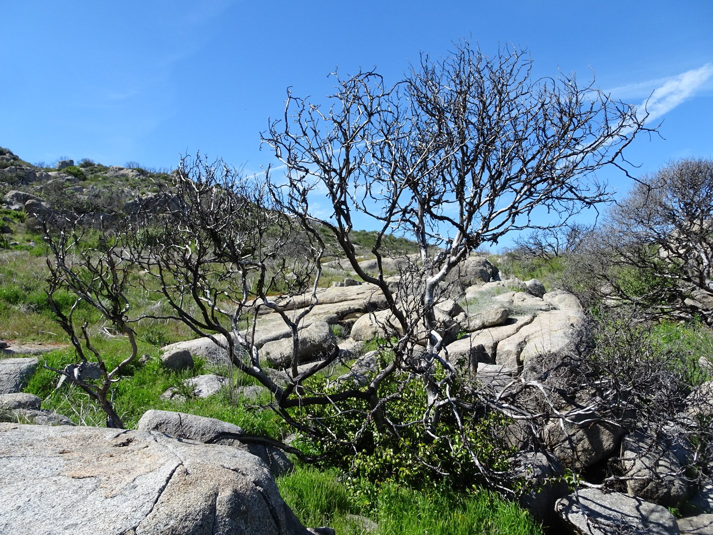
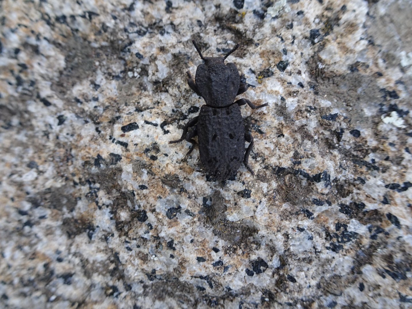
I kept my pace easy and stopped to look at the interesting plants, insects and lizards.
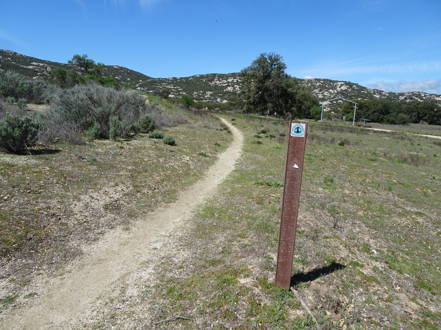
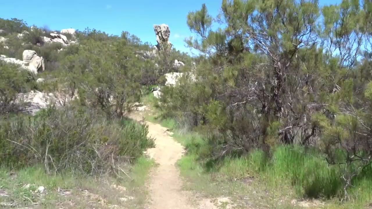
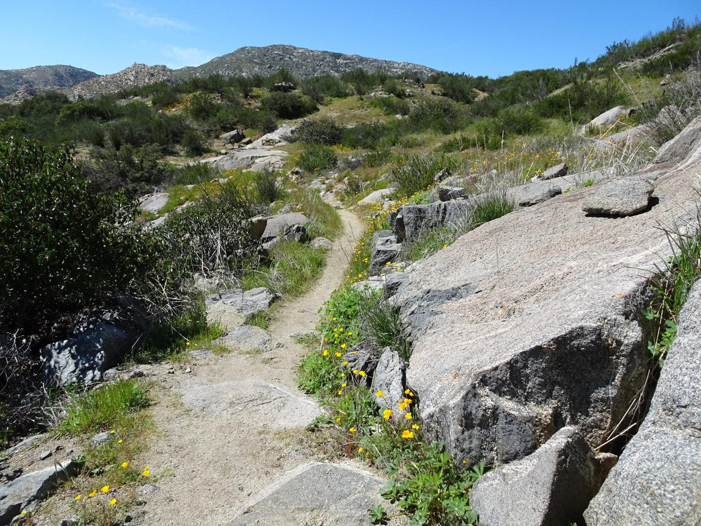
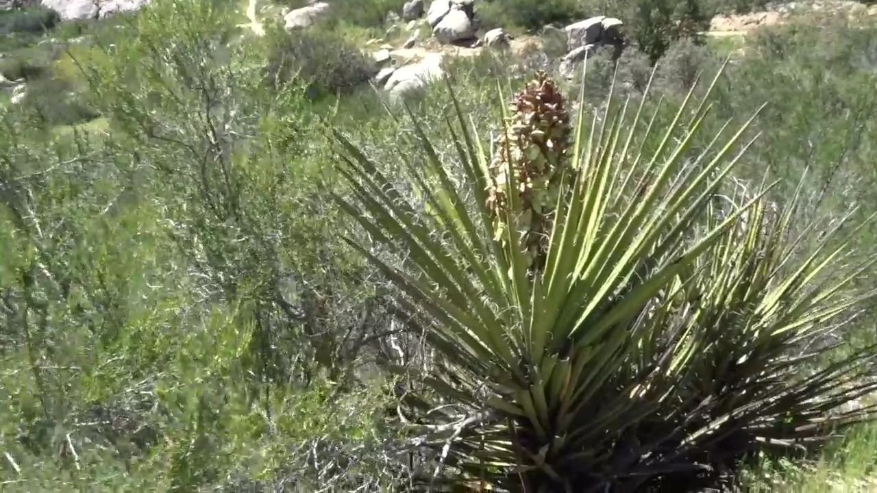
The track had a bit of water damage down the first hill and then was in good condition. Much of it was smooth but there was a few slightly rocky parts as well.
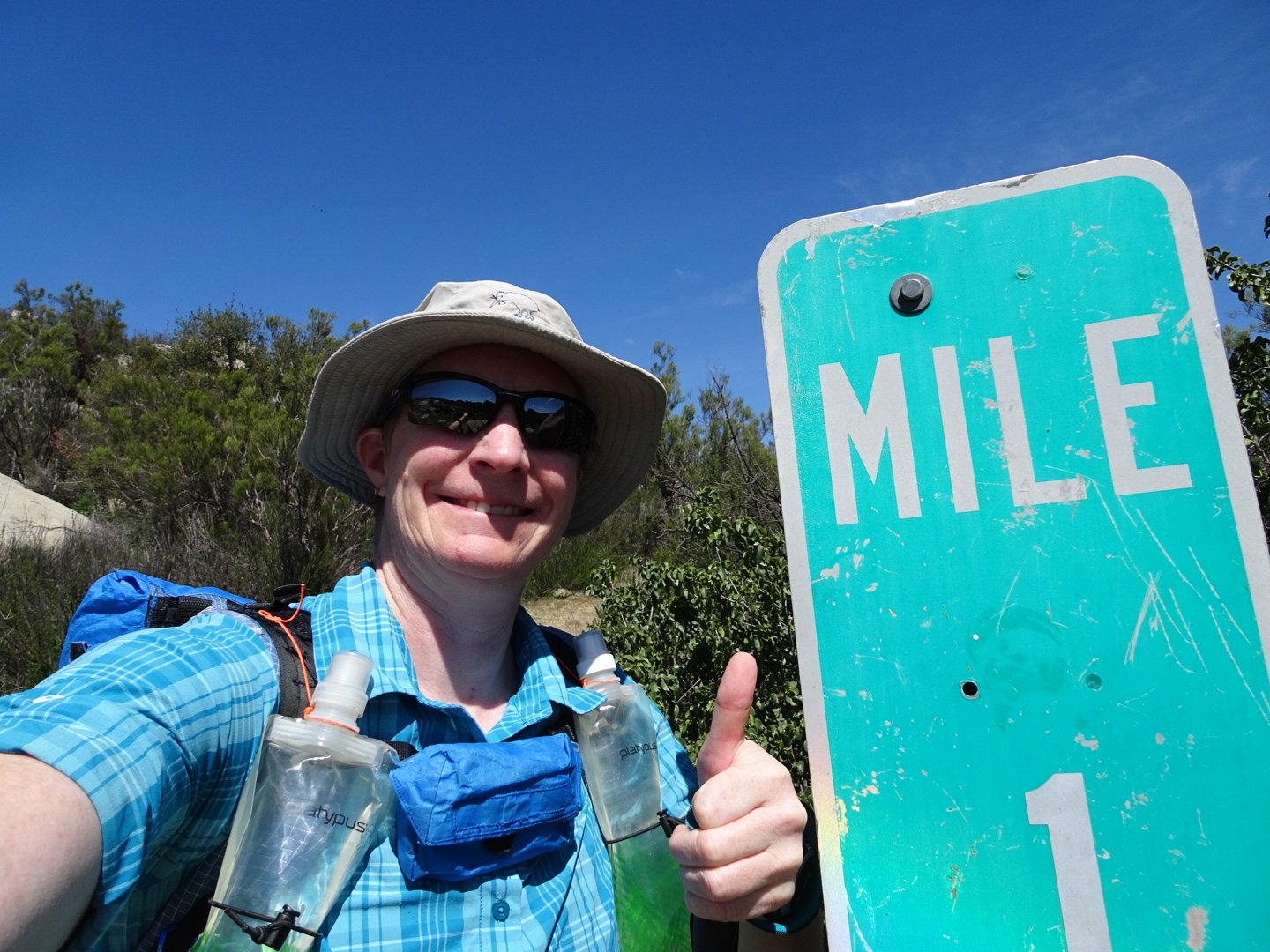
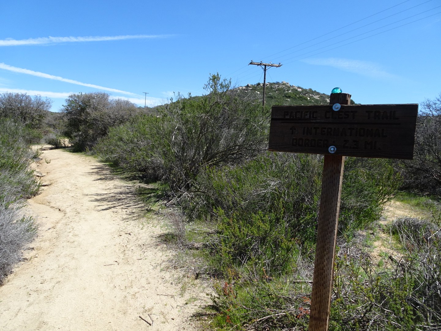
There was a marker at Mile One which was handy to get a gauge of what a mile feels like.
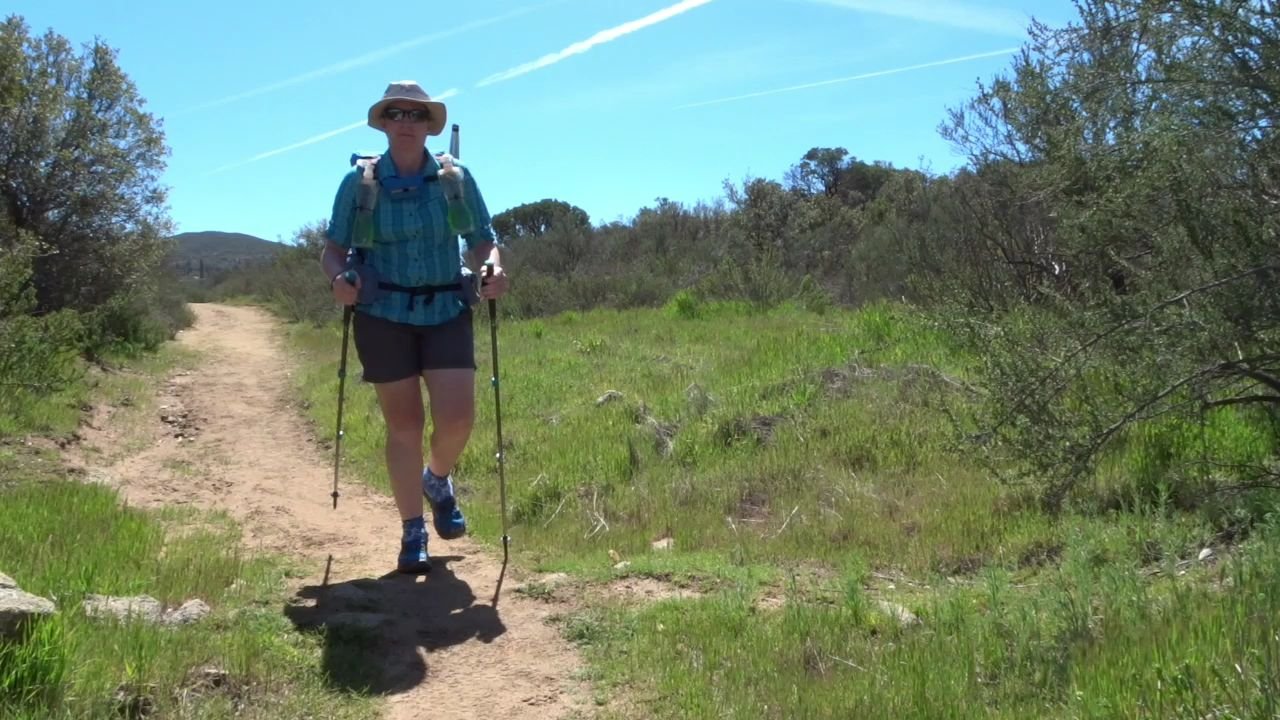
I discovered a flaw in my trail preparation. I had replaced the wrist straps on my hiking pole and had not walked with them after that. I quickly discovered that I had done the strap wrong on the left one so it wasn’t comfortable. I stopped and got a tent peg top push out the pin holding it in place and changed the way the strap was threaded and that made a big difference in comfort.
The trail went beside the road to Campo, crossing sides a few times.
As I hit the road at Campo I couldn’t see a sign and I want sure if I was meant to cross the road so I checked my maps. There was not enough detail on my paper maps, which are 1:63,000, so I opened Guthook on my phone. Guthook is an app where maps are downloaded and can work offline. The maps show the PCT route and information points, such as water and camp points. It also tells you exactly where you are and what Mike you are at. I had been using it for my planning and it had been working yesterday.
To my surprise when I opened the app my map did not appear. Instead it was the start page as I had just downloaded the app. My purchase had disappeared and I couldn’t access any maps. There was a button that said restore purchases and when I pressed it a message said to download another app, which is how guthook used to work with an app per trail. More recently, as in when I downloaded it, they had centralized all the trails onto one app. I followed the directions and the new app also didn’t show what I had already downloaded or even that I had purchased the PCT bundle. I was a bit confused what had happened and annoyed. Thankfully I don’t need the app for navigation but I know several people rely on Guthook as their sole source of route information so I hope this is nor a common issue.
At my next rest break I tried a few things which didn’t work. I figured I would try again after I had set up camp.
While I was playing with my phone another hiker arrived and she confirmed the correct route. She is a first timer on long trails and came from Washington State. We walked together for a few minutes until I stopped at a nice rock for a rest break. While resting two people went past at speed not far apart.
I continued along the trail which was gently climbing. It then dropped down, crossed a road and climbed again.
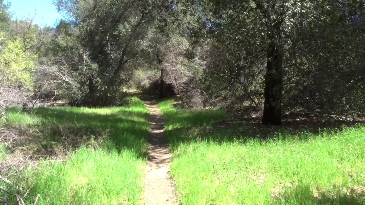
Then it dropped down to a really green patch through some trees and over a little bridge crossing a small stream.
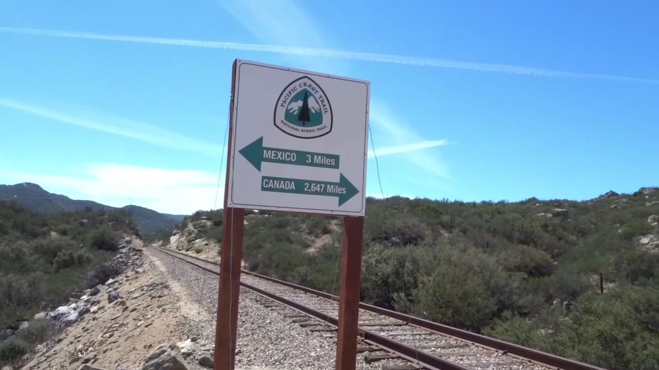
After a bit more climbing was the 3 Mile sign at the railway track crossing.
As I was taking photos a guy with a tiny pack arrived. I let him go in front as I assumed correctly that he was going fast. He quickly disappeared into the distance.
The next section was undulating and was very windy as the trail crossed lots of small gullies. It was covering at least twice the distance a bird would fly with all the bends.
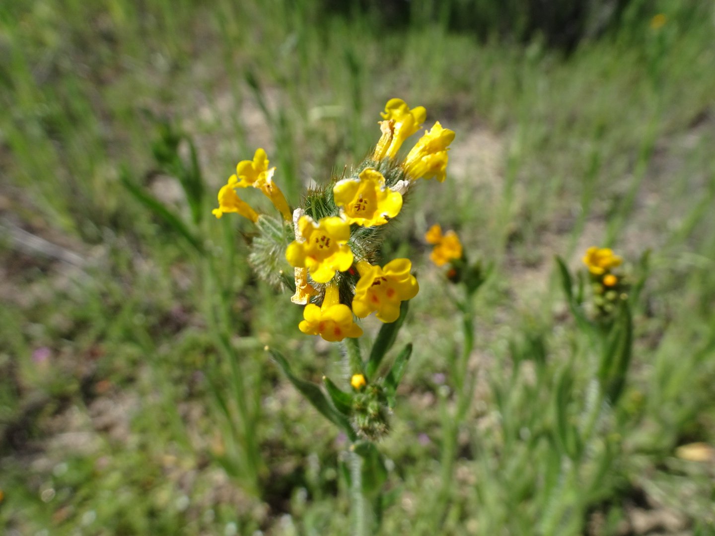
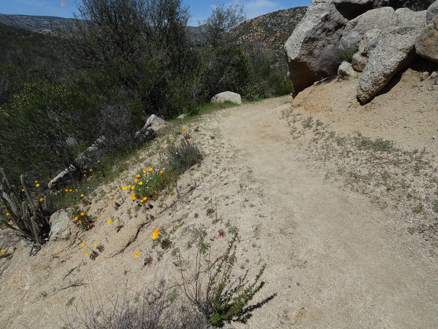
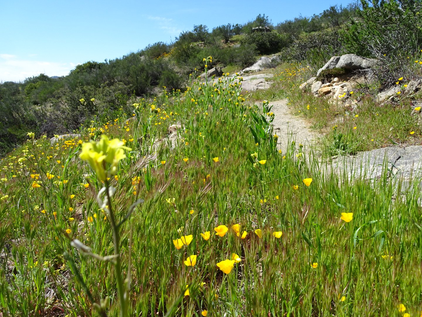
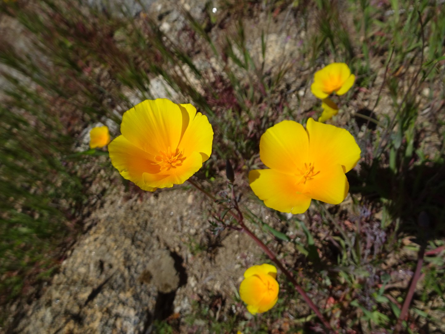
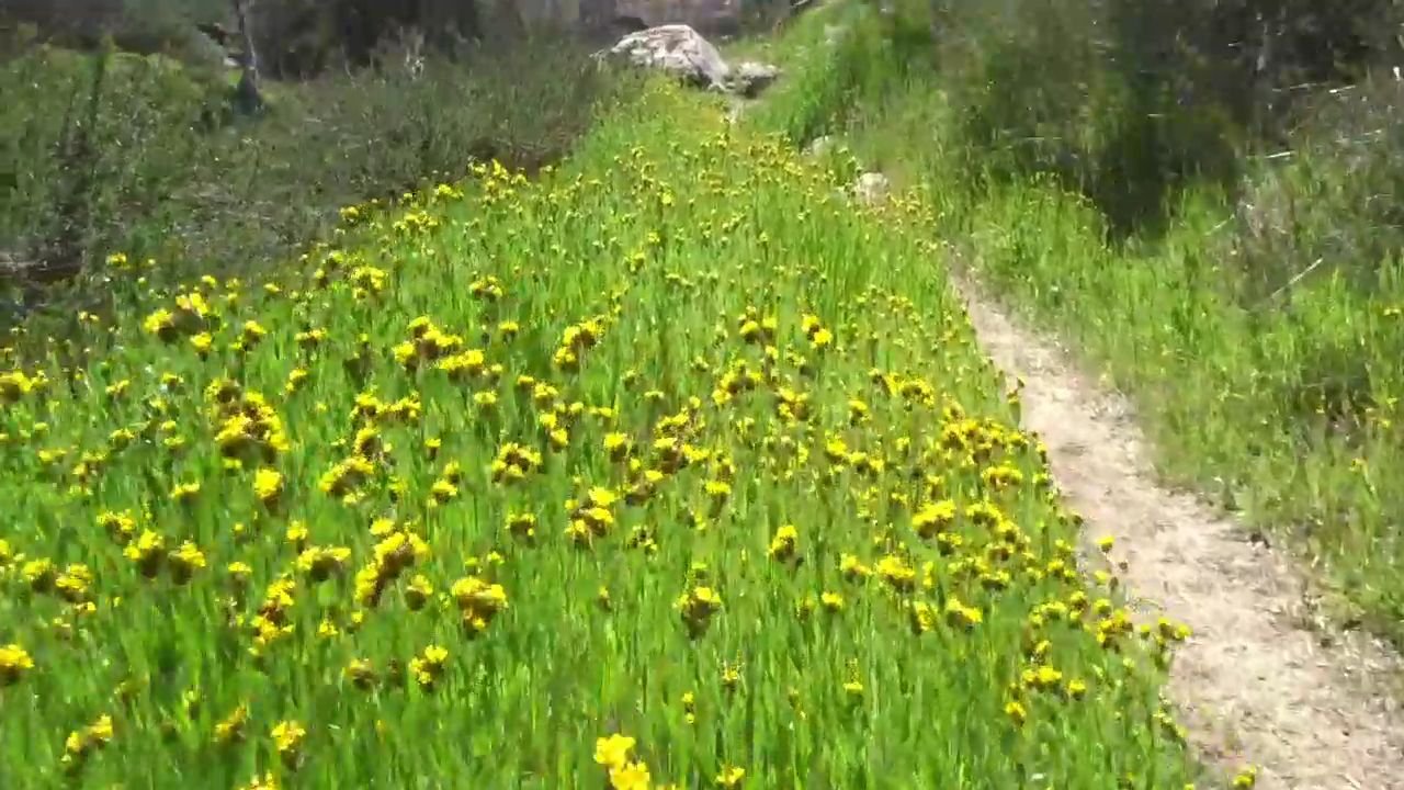
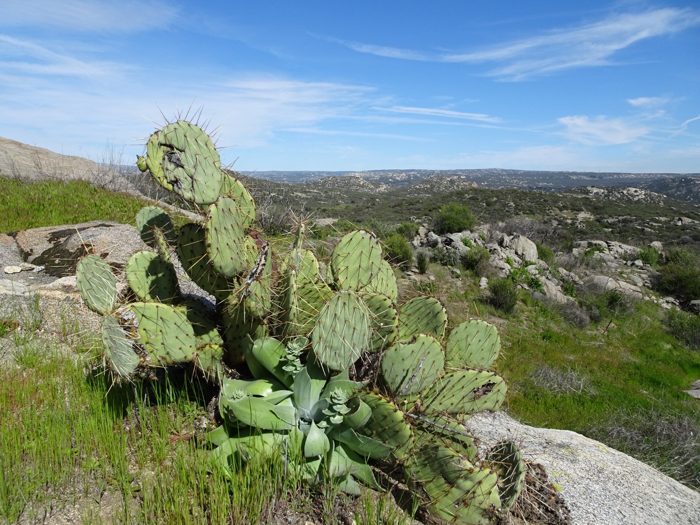
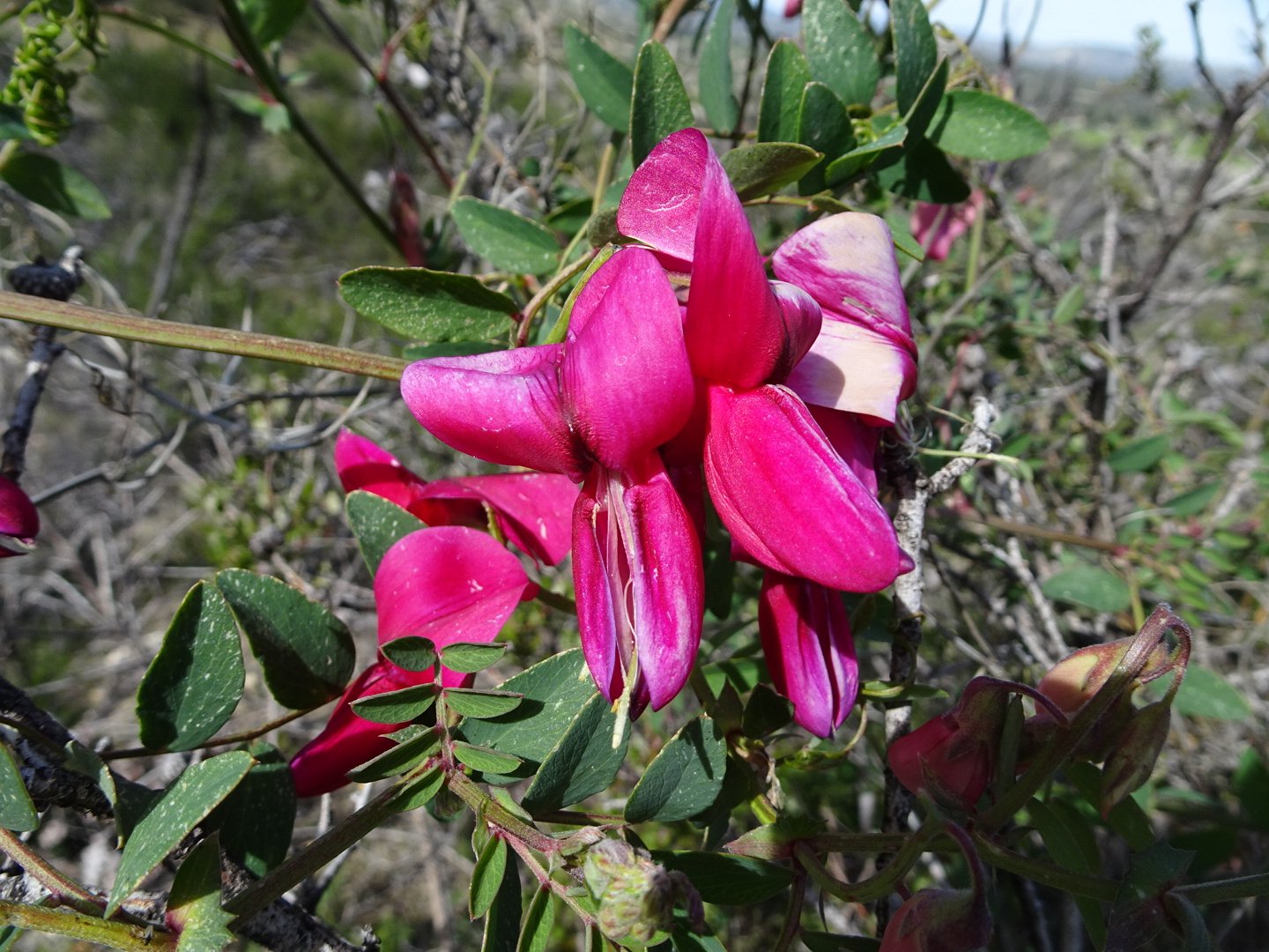
There were a few patches of flowers by the trail.
As I turned a corner I heard guitar music and saw a young guy standing by the trail playing. My first thought was that he was busking before remembering where I was. Him and his friend were section hiking to Mt Whitney. The guitar was a special one designed for hiking.
After a brief chat I was off again. The trail continues in the same manner. Once again I turned a corner and saw people, minus the guitar this time. It was two older (as in older than me) ladies. One had hiked the Camino trail before. It seemed from all of my interactions that the first question asked when meeting other hikers is whether you had done any thru hikes before. It was like people were establishing credentials and where they fitted in before talking. Several times no names were shared or were only shared at the end of the conversation. I made sure to emphasize how I was still really excited, despite having done 2 other thru hikes.
Shortly afterwards I came to the stream which was the last reliable water before my planned camp spot. I had only started with one litre of water so here I filled 2 ½ litres.
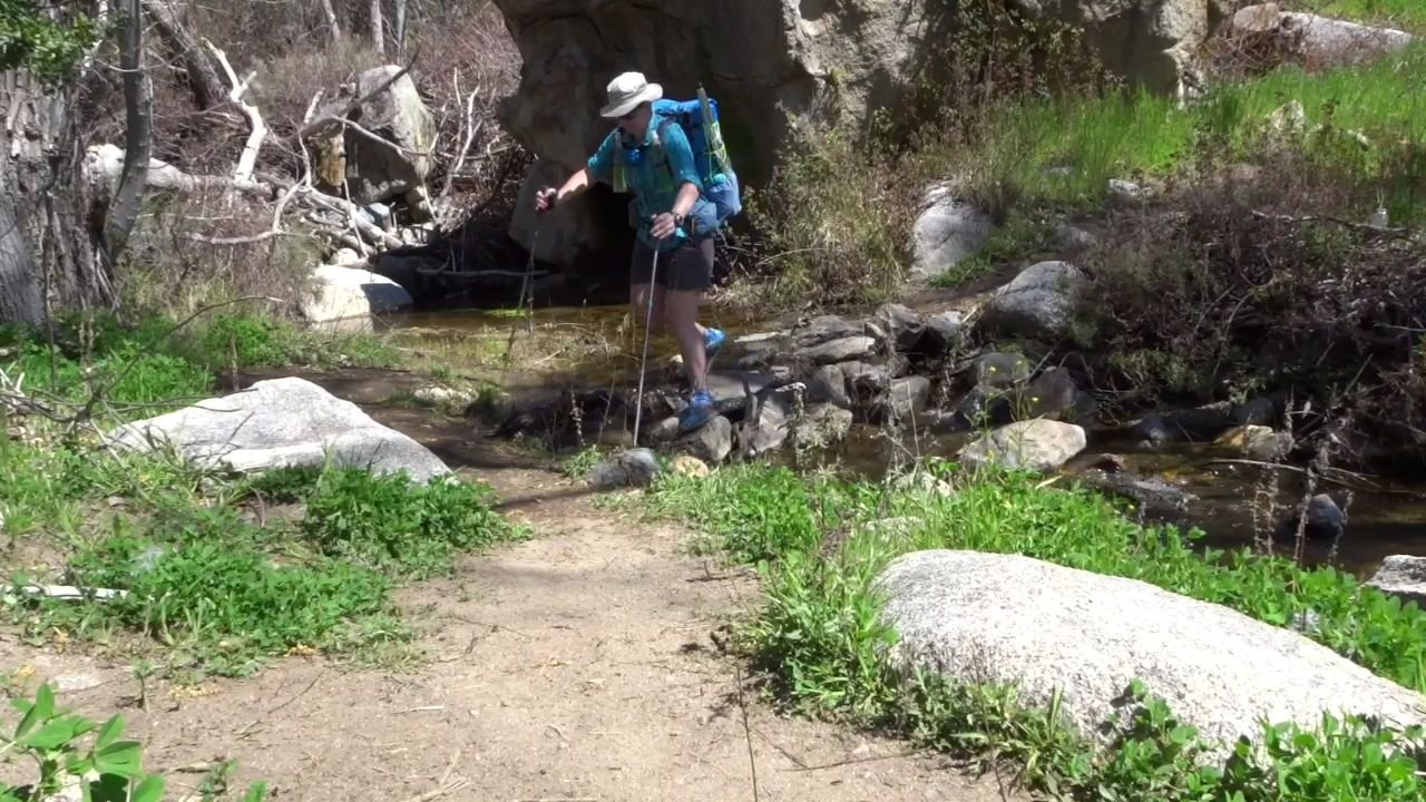
The two ladies arrived and also got some water. They pointed out the poison oak do now I know what I am looking for.
The trail started climbing and I noticed the extra weight. Looking up I could see a big switch back and the French couple from the monument were visible at the top.

As I started climbing I realized it was an even bigger switch back as the trail continued around the corner past where I thought it turned. The trail followed the side of the steep hill and was more rocky.
I found a nice shady spot for another long rest break.
The trail changed direction and ahead was a lush green valley with houses. The trail stayed in the hills above the valley.
There were several small streams for the next few km. The trail then turned up a valley into an area which looked like it had been burned a while ago. I passed the French couple as they were filtering some water. Now the trail started climbing. It was actually steep for a short section before the expected switch back started.
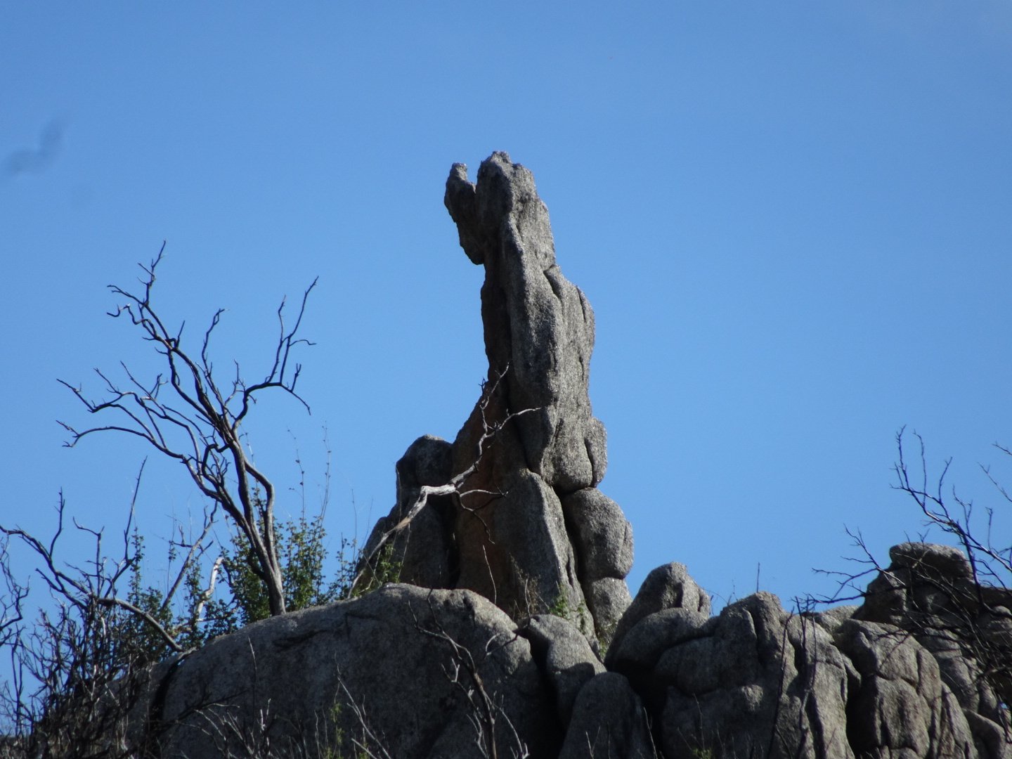
I saw a rock ahead on the hill that looked like a king sitting facing away from me.
At the top the soil became reddish and the vegetation changed. At a 4WD road crossing there was a nice grassy area that I was tempted to stop at but I decided to push a little further before camping. There was another road crossing a few hundred meters later and the trail slowly climbed up the side of a hill.
Another hiker was putting on his pack as I arrived and after a quick chat, where it was established we were going to the same camp site, we started walking with him in the lead.
He was going a nice pace and we chatted all the way to the camp site.
There were already several people there and not a lot of room so we continued on. The vegetation became very thick so we were looking for a clearing. There was on clearing where one tent could squeeze but we were being polite so neither of us claimed it. There was a gate 0.1 mile away where he thought might be a clearing. There was but it was smaller than the other one. He has a double tent so gave him first choice of spots and he headed back to the first spot.
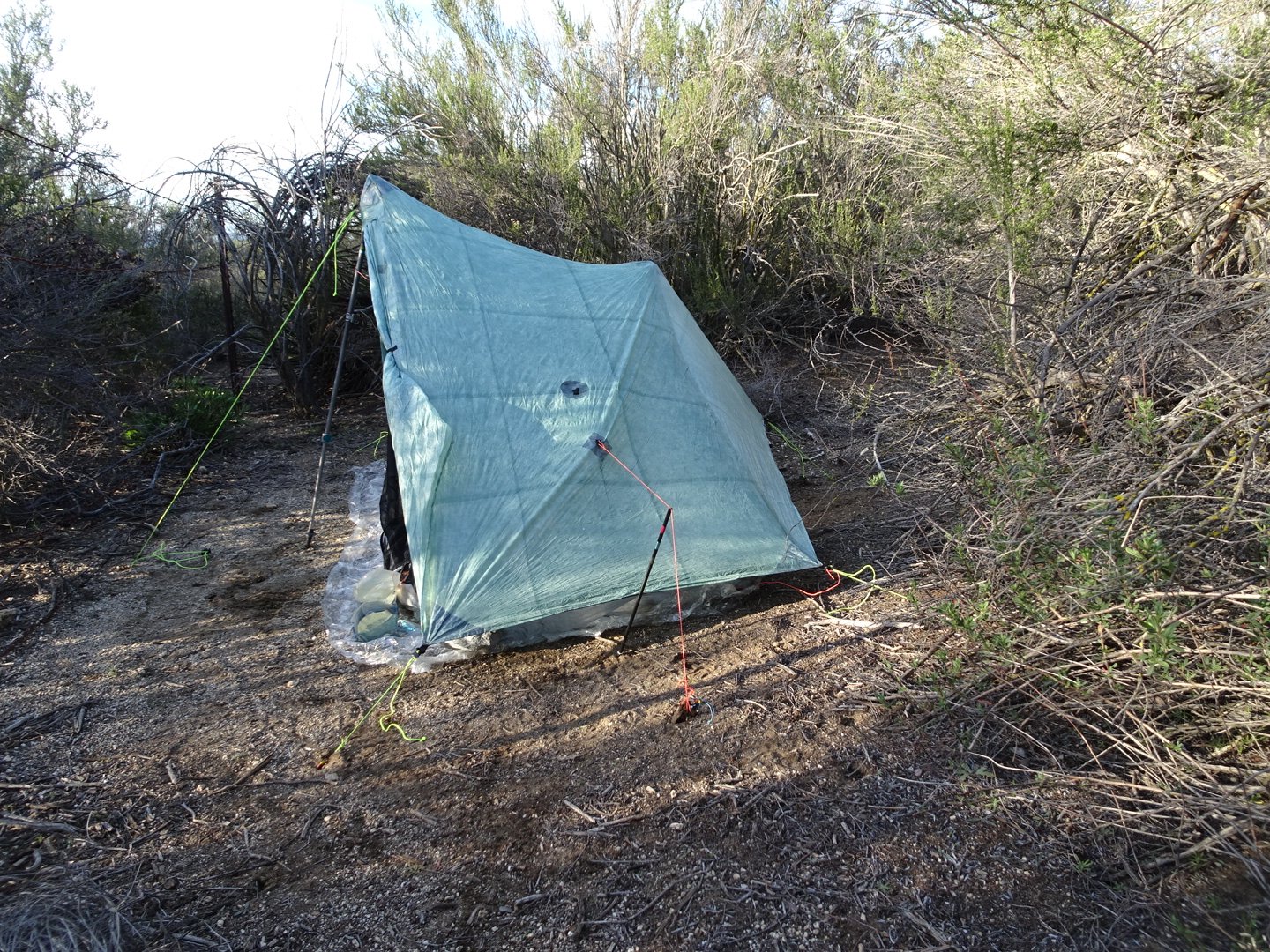
I set up my tent, having to change the type of peg when a couple of pegs came out of the ground. I carry three types of peg and the V peg held much better.
The temperature dropped quickly. At one part today it was 30 degrees C but it dropped to 10 as I was making dinner and to 7 degrees at 2100.
I was surprised to find a blister when I took my shoes off. It was on the outside of my left big toe. I drained it and will let it dry overnight. My middle toe was also showing early signs so I taped it. I have done a 3 day and a 4 day hike with these shoes but I guess the trail conditions were different.
After dinner I read. I had no cell signal so I couldn’t fix the Guthook problem.
It is nice being by myself for my first night as I am sure there will not be many nights alone for the first part of the trail.
Physically I feel ok. My knee twinged a bit earlier in the day but came right. My feet felt good apart from a short period about an hour before finishing.
Visits: 890
What gorgeous photography!
Thanks Evelyn. I am a shotgun photographer, if I take enough photos some will be good.
So happy to see you on your way! After hanging out at the terminus for a while and chatting, it’s clear to me that – at least on this day – the variety of people and experience levels and personalities beginning the trail is … vast. As we say, “Hike your own hike.” I’m rooting all ya’ll on!
For posterity’s benefit, I believe the host’s name was “Glow-in-the-Dark,” but I could be wrong.
And, OMG if you make a post and video like this for every day of your trip!!! 🙂
Hi. Thanks for your comments and the correction of her name, I will change it.