
Day 3 – 22 Jun, Grid 4558 78832 to vic Nordkappen Tunnel south end
(22.5km, total 62.5 km, 7h 10, 0950 – 1700)
Video: Video of Day 3
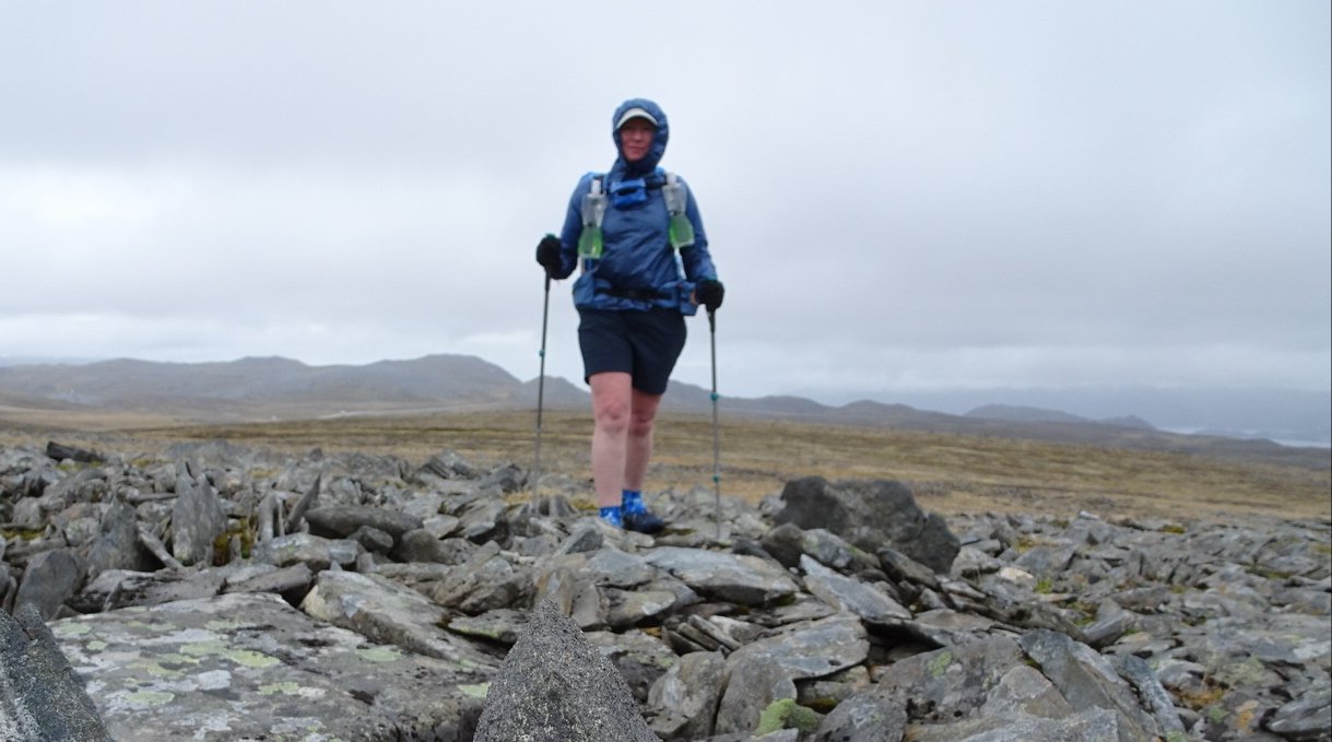
It rained again during the night but thankfully it had stopped before I woke up. I had a lazy start and started walking just before 1000. There was a cold wind so I got to wear my homemade windshirt for the first time and it did a good job. My right knee was niggling a little. Early yesterday I felt a sharp pull but then it was fine. I noted this morning before starting it was a little swollen. Thankfully after 30 minutes it seeped to warm up and was fine.
I had only ggone 55 minutes when I saw my first Reindeer of the day
The former road now track continued up the hill at a gentle angle and then flattened out as it met up with the main road.
I crossed the road and started walking down the gravel road. I was surprised the road was gravel as it looked like a sealed road on the map but it was directly opposite where the track came out so I did not pay too much attention.
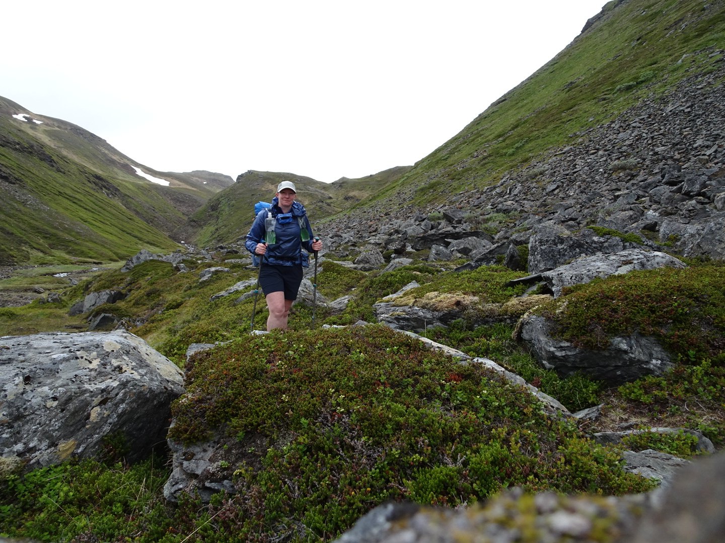
The road headed gently uphill and I could see a campervan parked in the distance which once again sparked a fantasy that they would see me coming and offer a coffee. Once again my fantasy did not eventuate and there was no sign of life in the campervan as I walked past. The road veered sharply the left but I didn’t bother checking the map. I knew I had to walk until I saw the lake and knew I could not go wrong. The road started dropping and I saw a lake but the shape seemed off and I could not see the road turning in front of the lake. As I dropped I saw the road dead ended on a causeway built into the lake and finally clicked that something was wrong. I looked at my map and saw the track I had taken. The road I was meant to be on was actually further north. The map clearly showed to go straight across the main road but obviously the track I camped beside is not marked correctly on the map. I headed back to where the track had turned sharply and then decided that rather than taking the road 1km back to the main road, walking on the main road north for one and a half km and then walking on the new road I would just head cross country north up and over a hill to meet up with the proper road. In New Zealand it would be quicker to take the longer distance by road but because the vegetation was so short here it was actually fairly easy walking cross country.
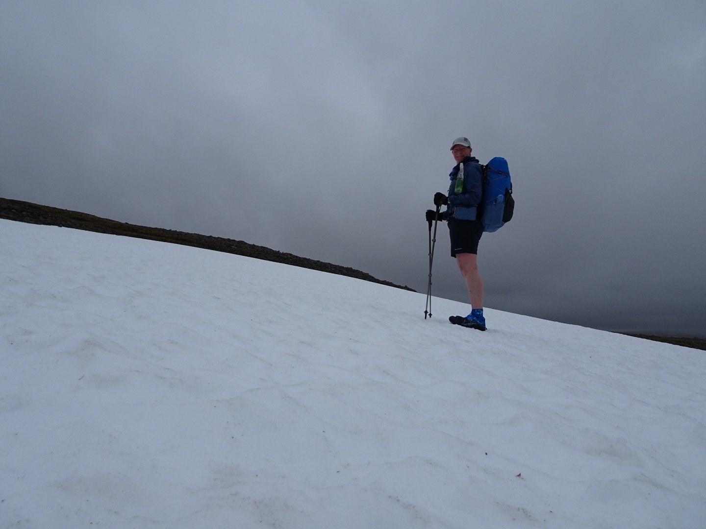
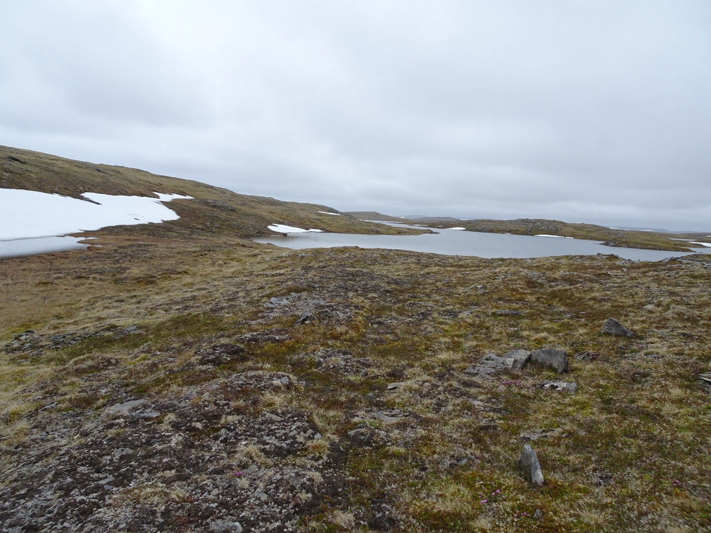
The hill wasn’t too steep and there was a lovely little lake and snow patch at the top.
It was then a short descent and I was finally where I should have been.
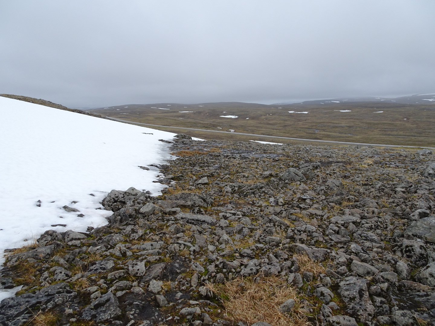
Looking down towards the road.
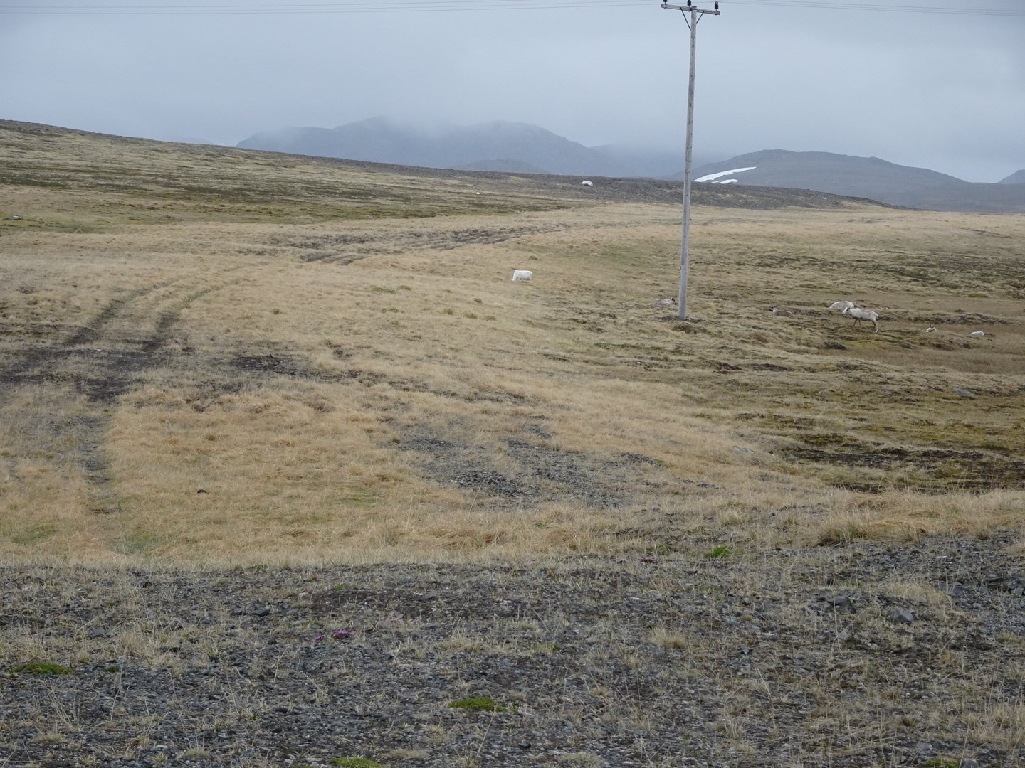
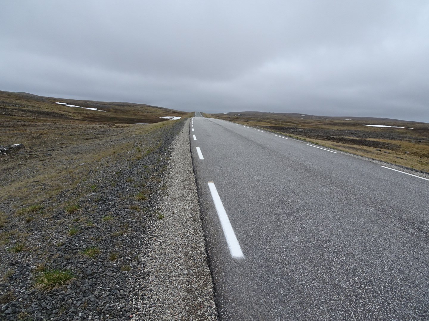
The shortcut had taken less time than I expected and I quite enjoyed it. There was now a 2km walk on the road to the lake. There was flattish gravel beside the sealed road so the walking wasn’t too hard on my feet.
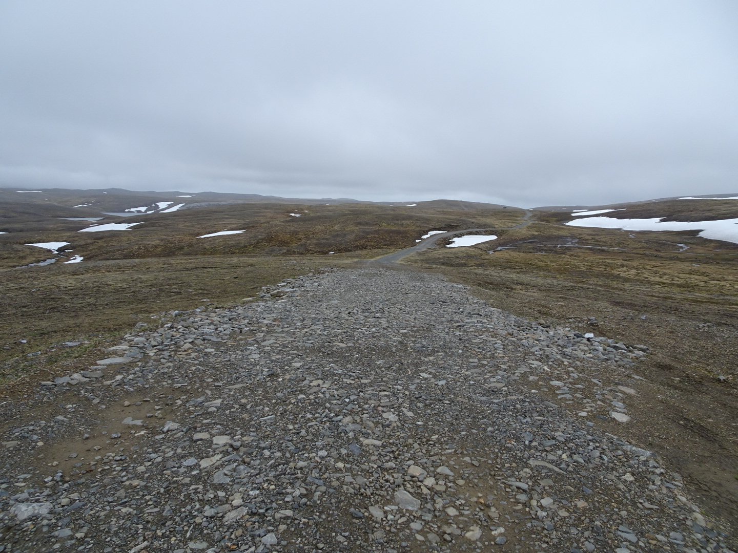
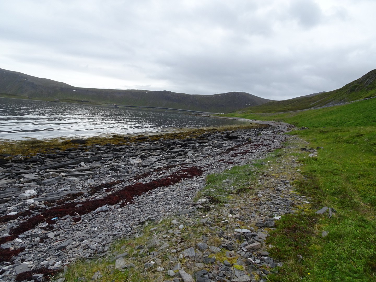
The distance went quickly and I came to the lake where a route headed south 3.5km to meet up with E60 Road. There were no track markers and no trail to follow but the navigation was easy walking from lake to lake.
Unmarked Track though the lakes
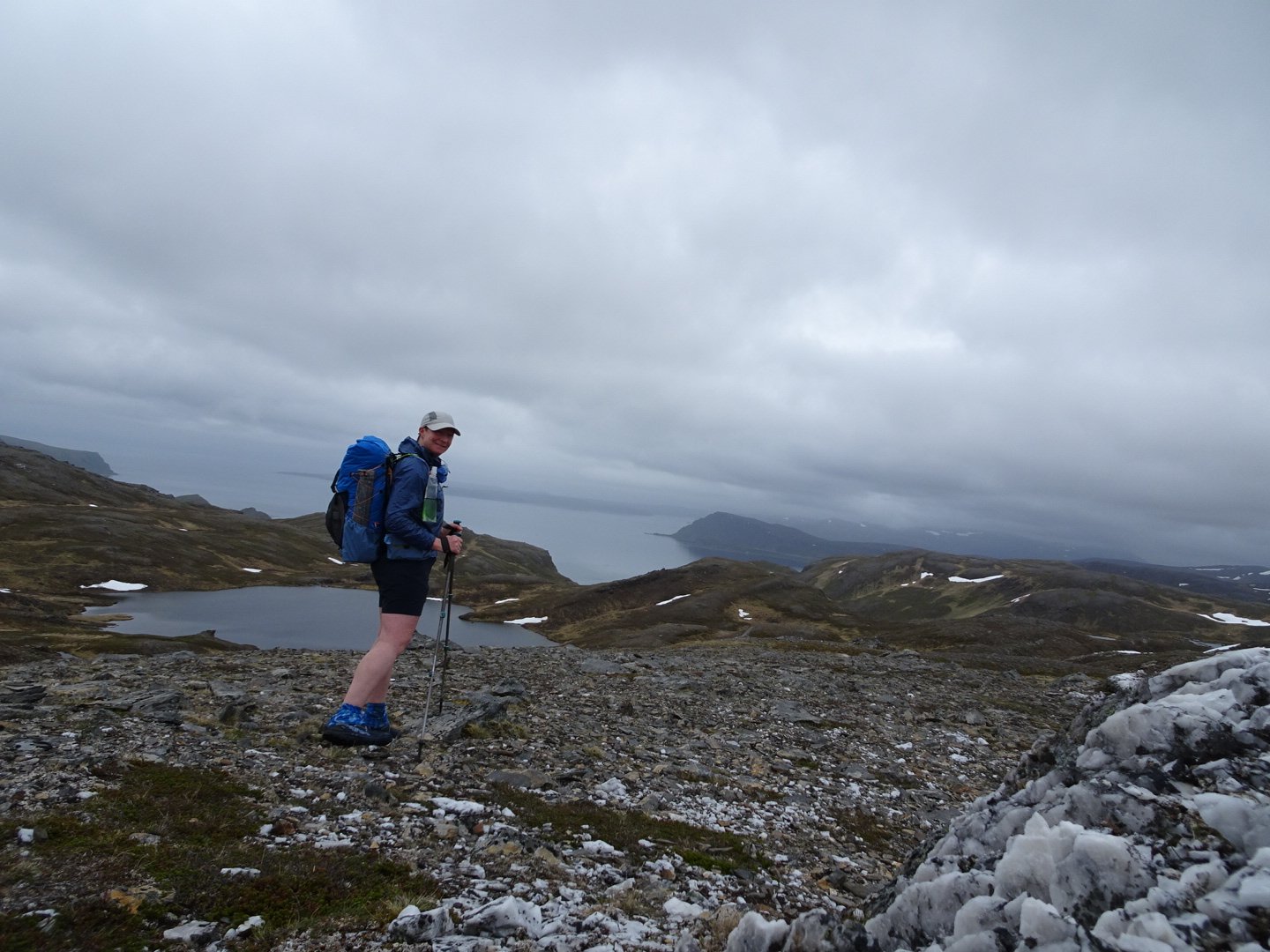
Before I started I pulled out my new compass and took a bearing to a hill in the distance just in case I got confused with all the lakes around. It was a new compass as I had to buy a compass in Oslo because my New Zealand Compass will not work here. My navigation was spot on for the first km. After going between two lakes I climbed a hill rather than going around and was rewarded with fantastic views down into Sarnesfjorden.
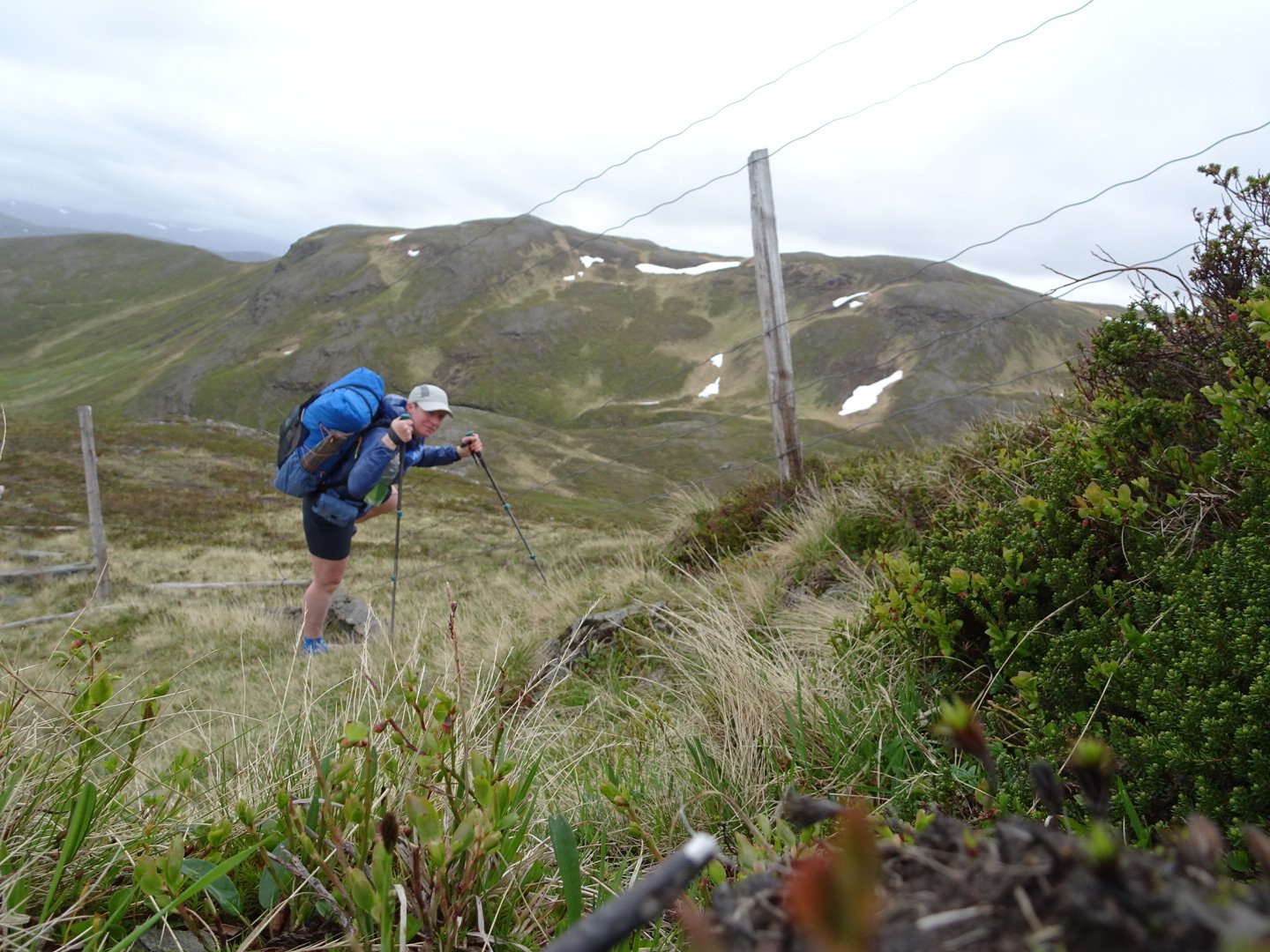
I could see the route that was marked on the map taking me to the east of a lake but it seemed to have a lot of up and down. I saw if I stayed high on the right it seemed an easier route so I did that. Once on the ridge there was a reindeer fence with a quad bike track so I was able to follow that down to a stream where I crossed the Reindeer fence through a convenient gap.
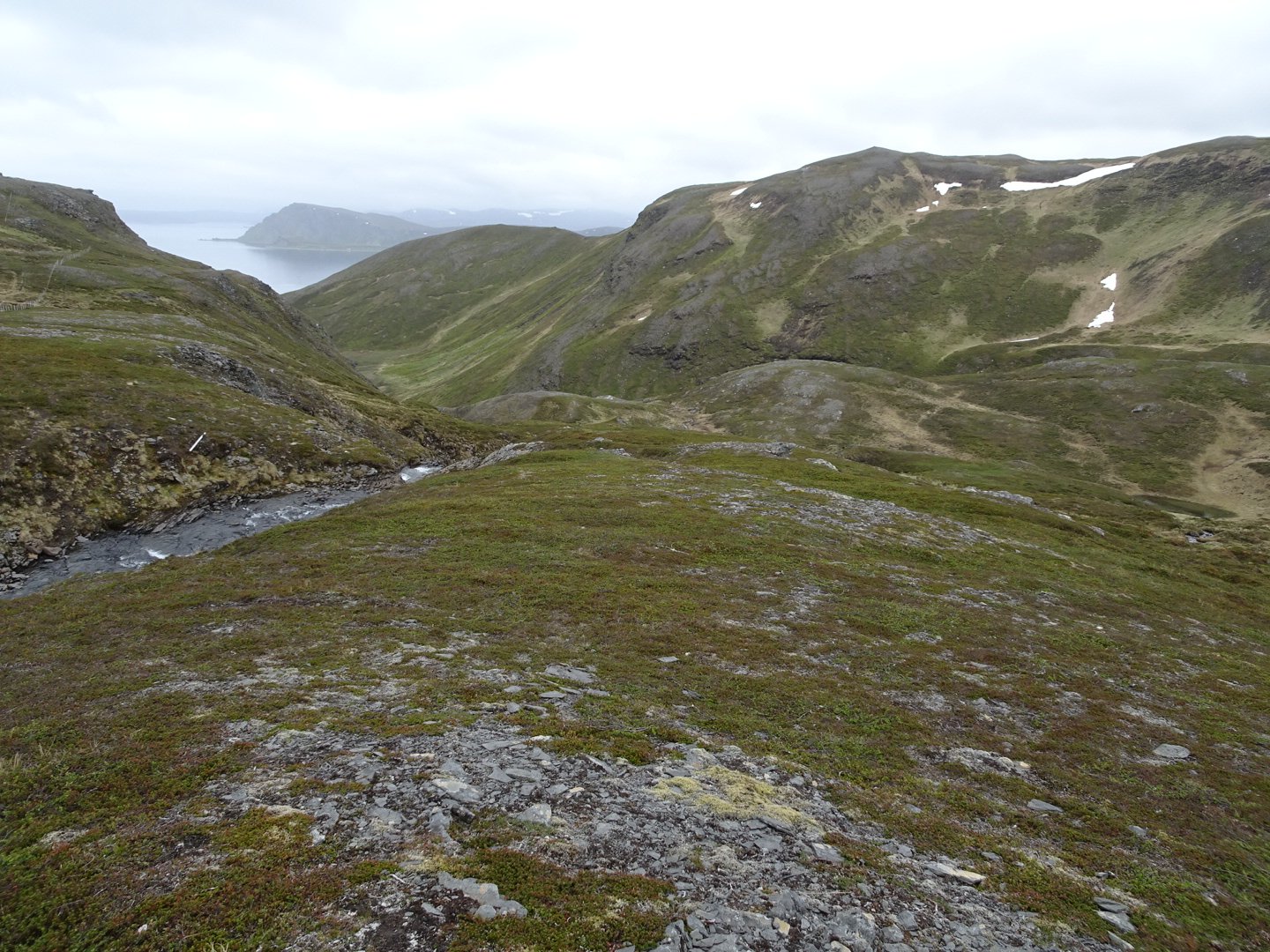
The route on the map was on the other side of the stream but I stayed on the north side and followed a faint trail down to where the stream dropped off, then crossed over the stream and followed the track down a steep section and over a couple of streams.
Looking down at the route from the fence.
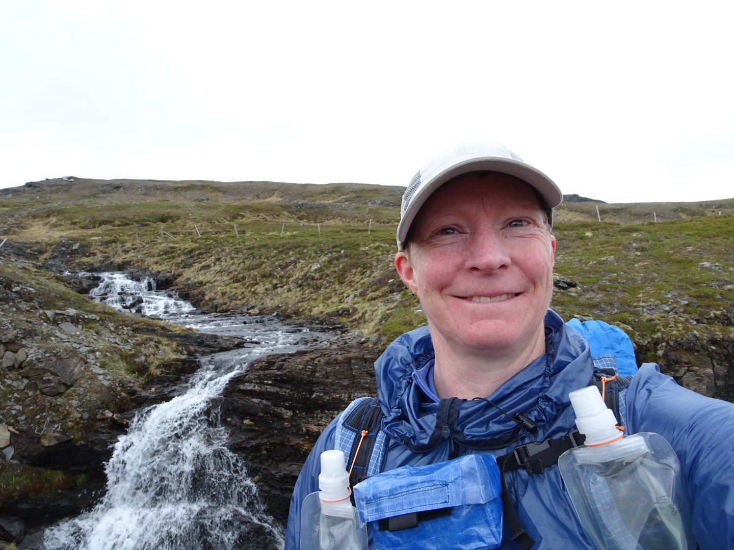
Waterfall at the crossing the stream before the dropoff
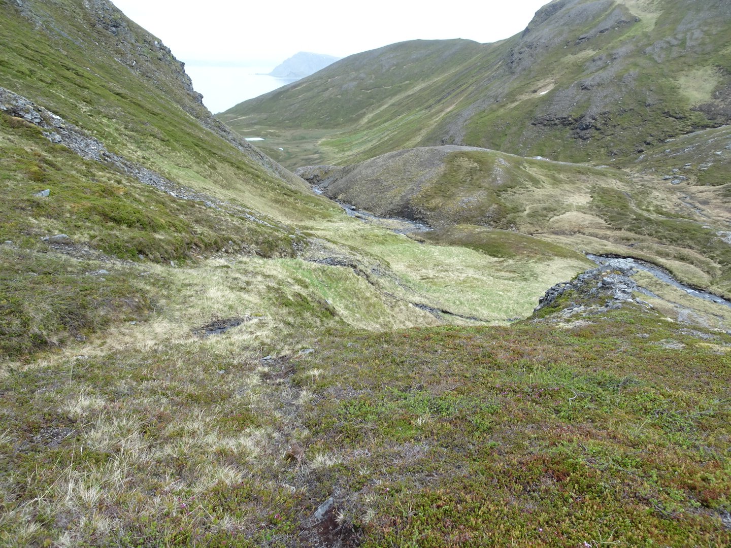
The descent from the stream crossing
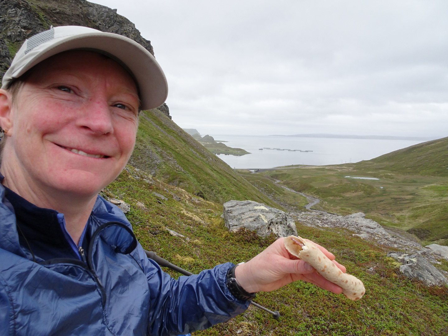
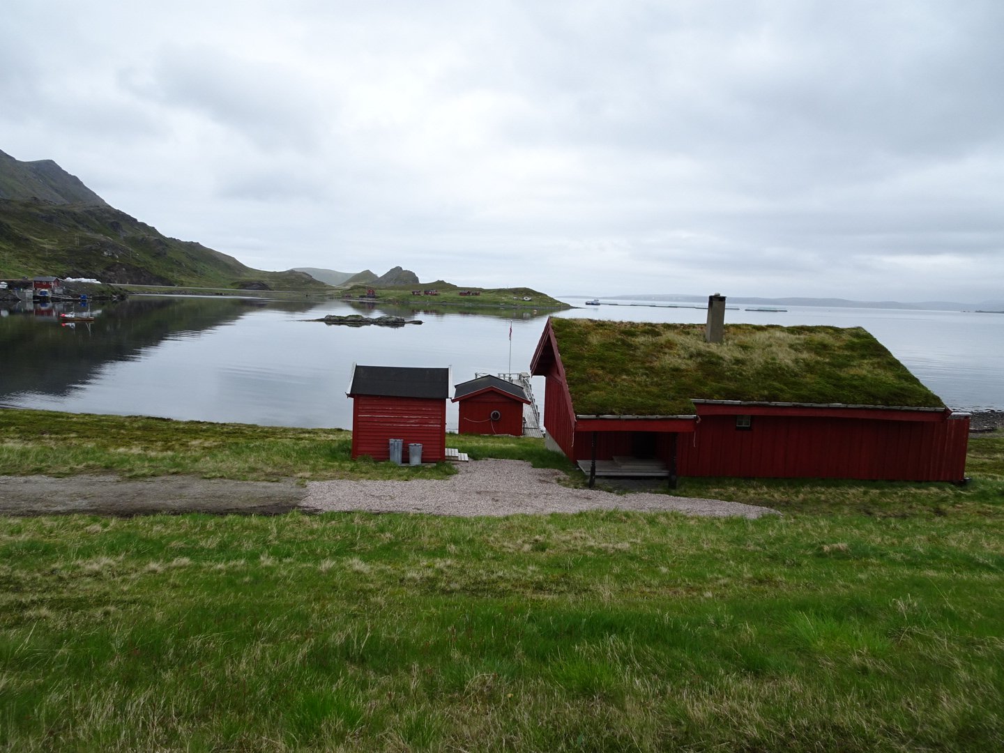
The track climbed slightly and I decided to have lunch enjoying the view down into the fjord. There was a small village of red houses reflecting of the still water and overlooked by steep hills and cliffs. Lunch was a tortilla bread with gouda cheese slice, reindeer salami and Kremago which I was not sure what it was when I brought it but it is a flavoured spread in “Krydder” flavour whatever that it. It had a picture of garlic, onion and capsicum and was in the cheese section. It was nice with a tart taste that went well with the salami.
After lunch I headed down the hill following the quad bike track and then onto single track on the flat to the road by a bridge.
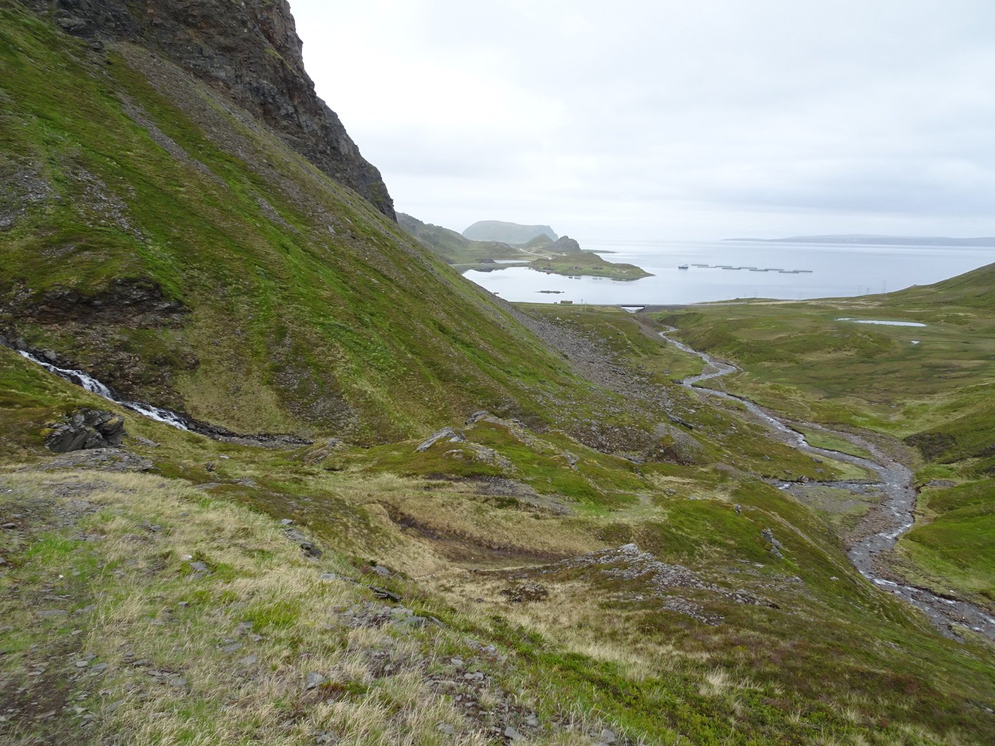
On the road was a pretty red house with grass roof and the whole scenery was amazing.
Now it was a road walk for 1.5km on the nice gravel road edge. Where the road went through a short tunnel I turned left following a gravel road for a short distance then tracks around the hill to meet the road as it exited the tunnel.
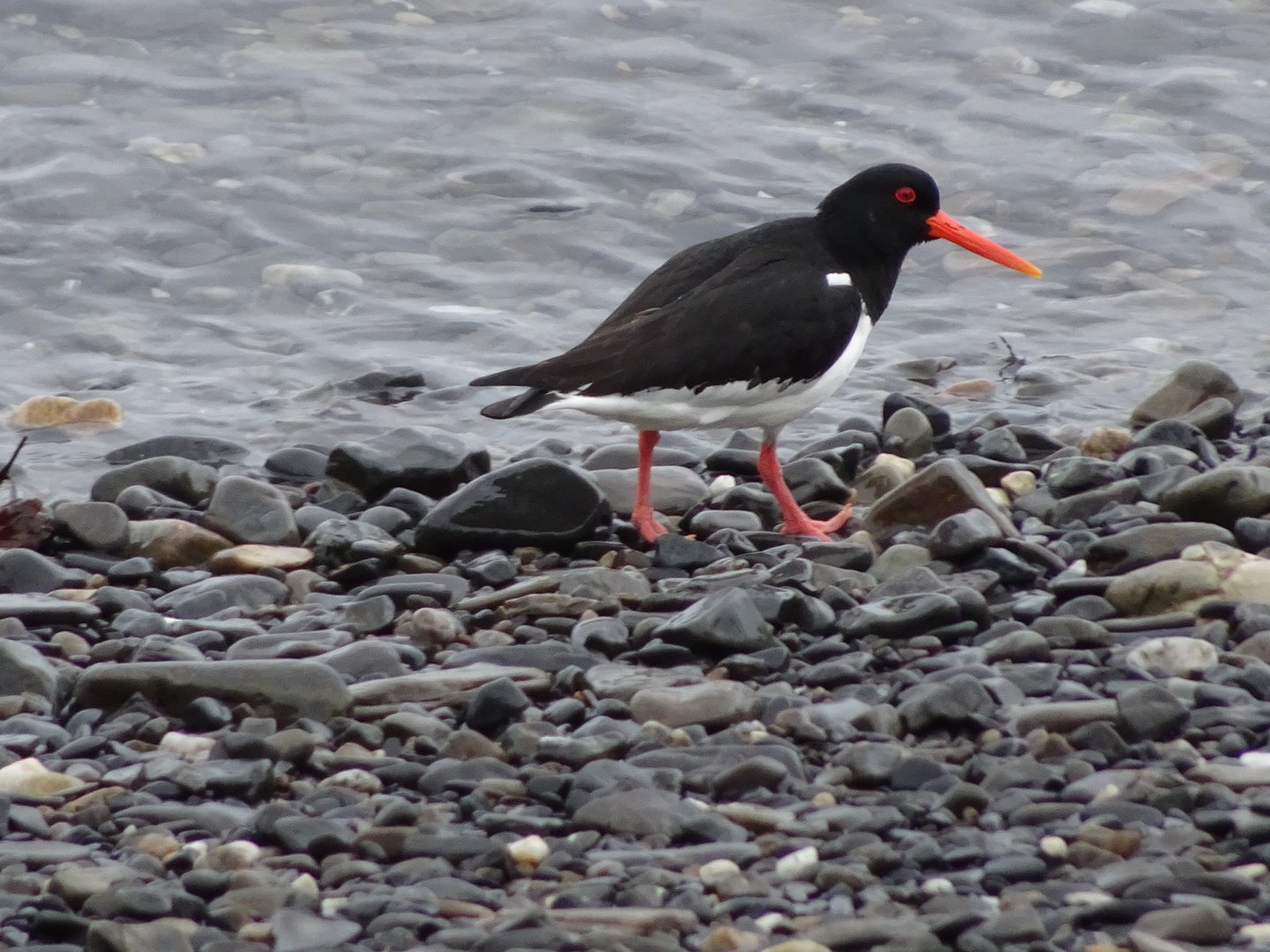
Oyster Catcher trying to distract me from it’s baby
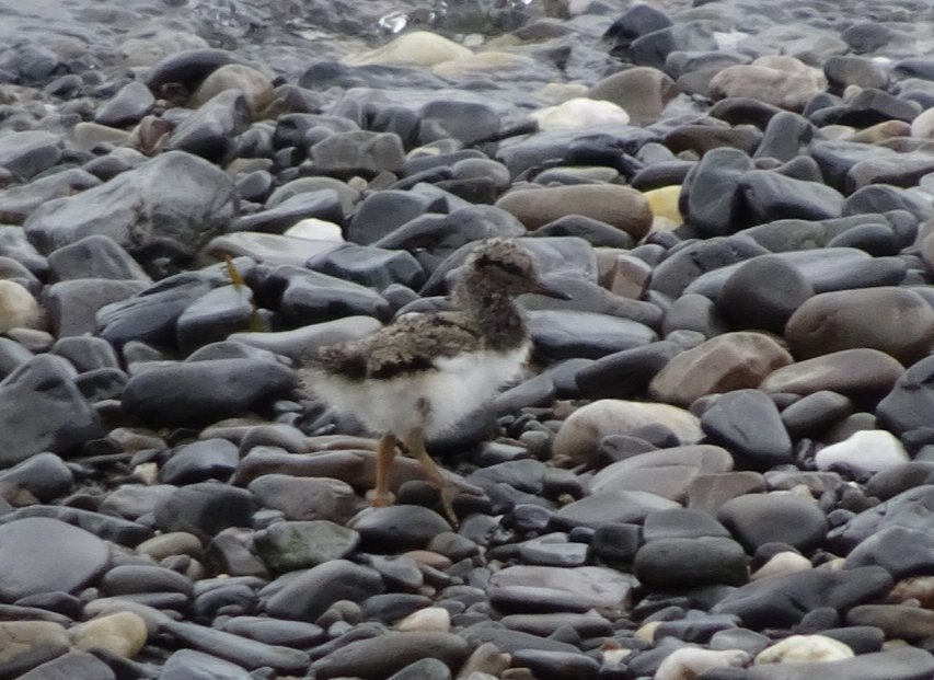
Didn’t work, here is the baby though it is well camoflauged
The next 800m of road had a very narrow gravel and a barrier. I walked on the outside of the barrier before it became to skinny then walked on the road side of the barrier a short way until crossing over and heading down a grass bank to the flat area beside the sea.
I think this was a dolpin
Very big crab leg
I now walked through the grass beside the water, passing some abandoned houses until joining a single track that lead around the hill passing nice looking batch (holiday house). The track continued past until reaching another house where I met an older woman. She did not look surprised to see me so maybe there a few walkers who take that track She didn’t say much when I answered my question about where I was going so maybe my pronunciation was so wrong she had no clue where I said I was going.
I continued until back at the road and walked below the road on the waters edge for a few hundred meters before climbing up to the road.
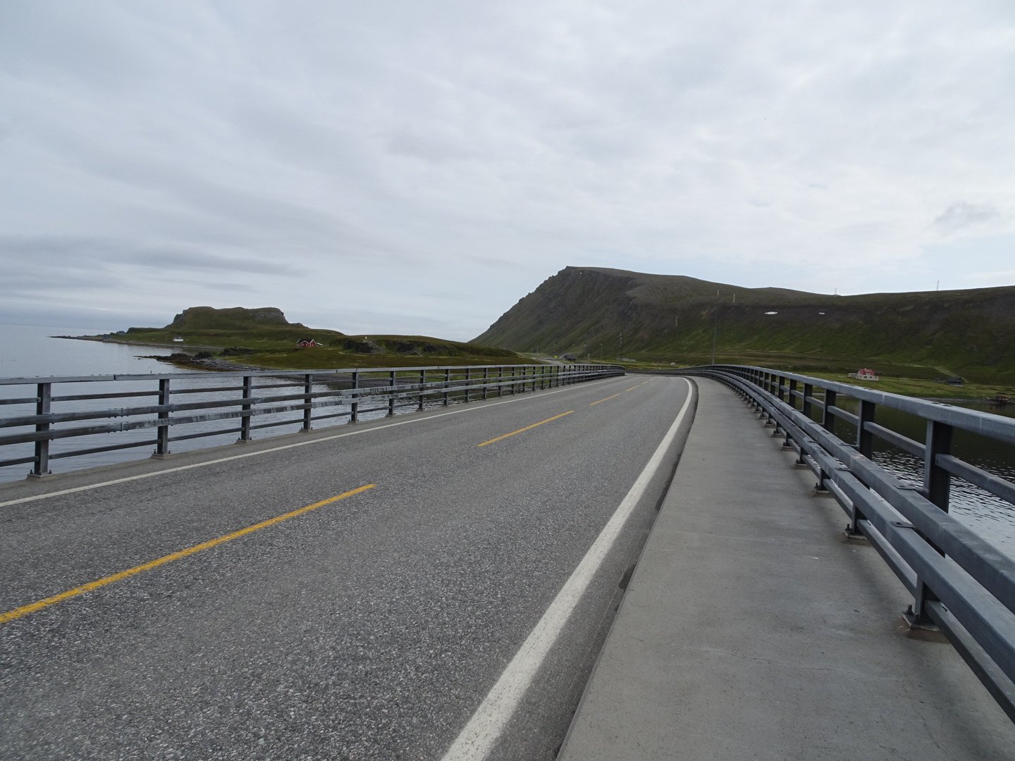
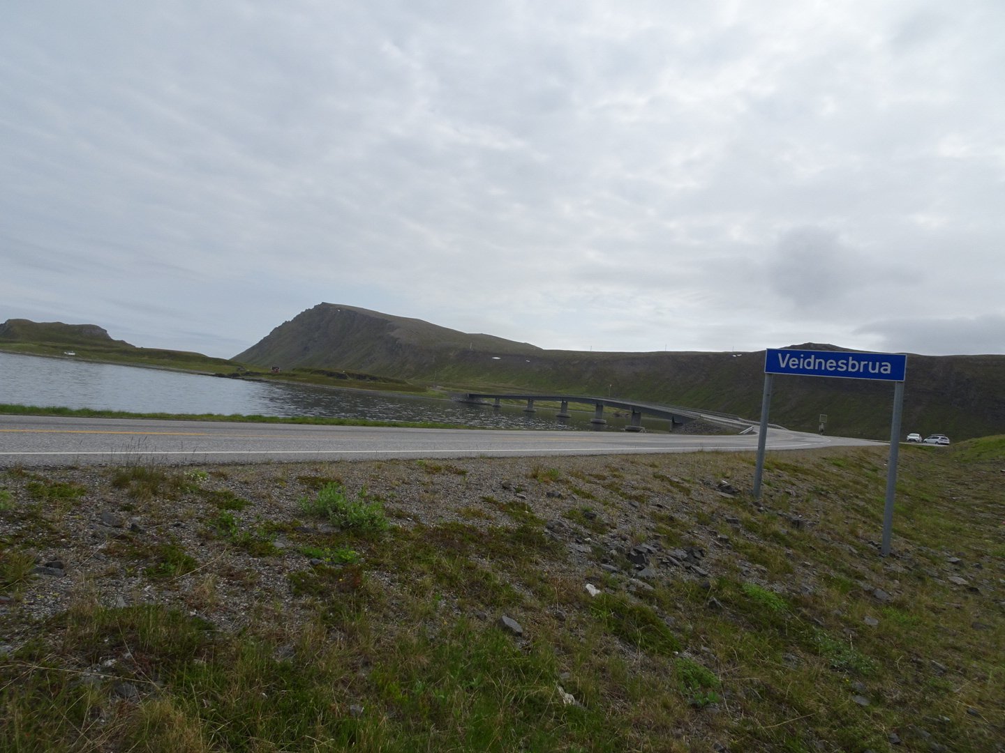
There was no room to walk on the left so I crossed the road and there was a large drainage channel which was easy to walk in all the way to the bridge.
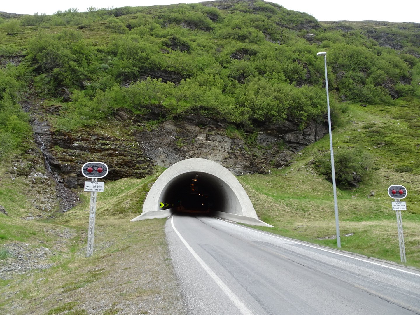
Veidnesbrua Bridge was 600m long and thankfully had a footpath on the right side. Once over the half way I could see the tunnel in the distance.
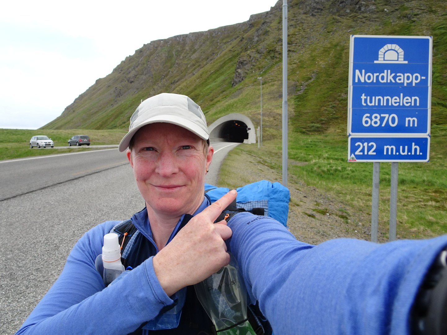
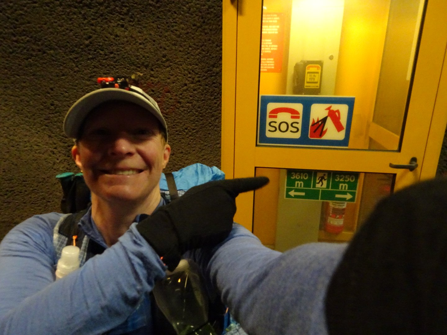
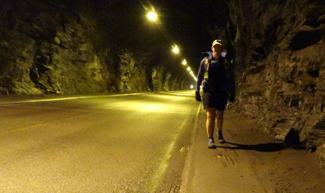
Once over the bridge I went down the side of the embankment and took a short break and toilet stop before walking the tunnel. Once back on the road I saw there were public toilets and a rest area so I deprived myself of a flushing toilet. I kept below the road on the right as there was flat grass/alpine shrub all the way to the tunnel entrance. This tunnel is called Nordapptunnelen and is long 6870m. It drops down at a 10 degree angle to a height of 212m under the water before climbing back up again. I put my poles onto my pack and took a quick selfie before starting.
As I entered the tunnel the temperature plummeted and I could see my breath. I put on my gloves and started walking quickly. The tunnel dropped steeper than I was expecting. There was a raised footpath on both sides of the road, though it was a little muddy and slippery in places.
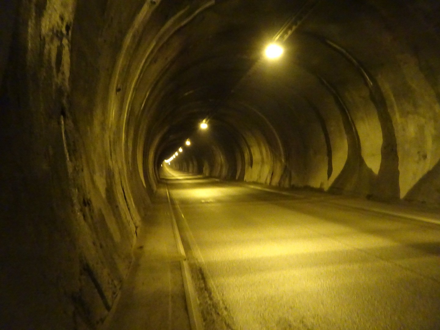
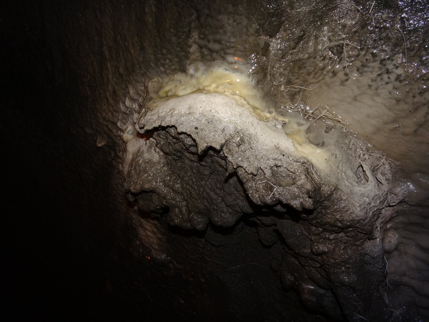
I walked on the right so I could see traffic coming towards me and I put my torch on flash mode on my head so they could see me. I was really surprised at how loud the traffic was. The sound would build up then it sounded like a big truck was roaring towards me but it would only be a car. When the campervans or bus went past the sound was uncomfortably loud. The descent went pretty quickly only taking 40 minutes to reach the bottom. I discovered that the tunnel creates an optical illusion about whether you are walking uphill, downhill or about to transition. I kept thinking I was at the bottom as the cars appeared to start heading up hill. Even walking It seemed like I was going uphill even though I could feel the gravity pulling me down. Sometimes the illusion was so strong it was only looking at the direction the water was flowing to know what was actually happening. And on the water it was a bit disconcerting the amount of water flowing down the walls. Knowing there was huge amount of water overhead I could not help but have visions of the tunnel collapsing or a flood roaring down the tunnel. The water droping through was starting to calcify in places. There will be stalecmights in a few years.
Approaching the bottom a loud noise started and would get louder in patches, uncomfortably so before fading slightly before building up again. It sounded like machinery but I couldn’t see anything until I looked up. It looked and sounded, like two aircraft engines mounted on the tunnel roof. I assume they are for ventilation but it caused me to walk quicker to try and get away from the noise.
At about every 500m were SOS phone and fire extinguisher and on each one they had a distance to each direction so it was easy to know my progress. I had a little celebration a the half way mark though a quick one because of the noise.
Now the road started uphill and I was under no illusions now as gravity was making me work for every meter climbed. Though it was hard work it went quicker than I thought and 50 minutes from half way I saw the light at the end of the tunnel (always wanted to say that).
I was glad to have that done and happy to be back in fresh air. As I started looking for the track that headed inland I saw a sign for the E1 trail.
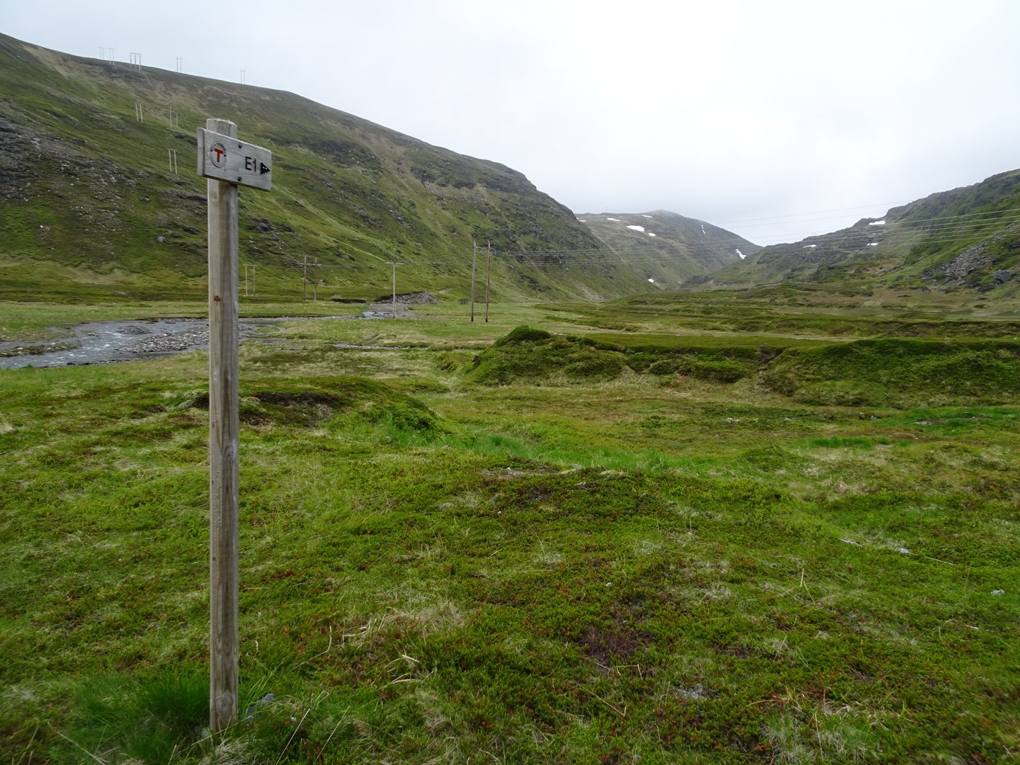
The E1 is a trail from Nordkapp to Spain and I was flowing this trail for over half of my journey. The trail headed up a little bank and I saw a cairn with a red ‘T” painted on it. In the distance I saw a few more so it looks like I will actually be following a marked trail and not blundering around like I have been. The trail continued climbing slightly above a river, crossing a few boggy patches but nothing that got my shoes wet.
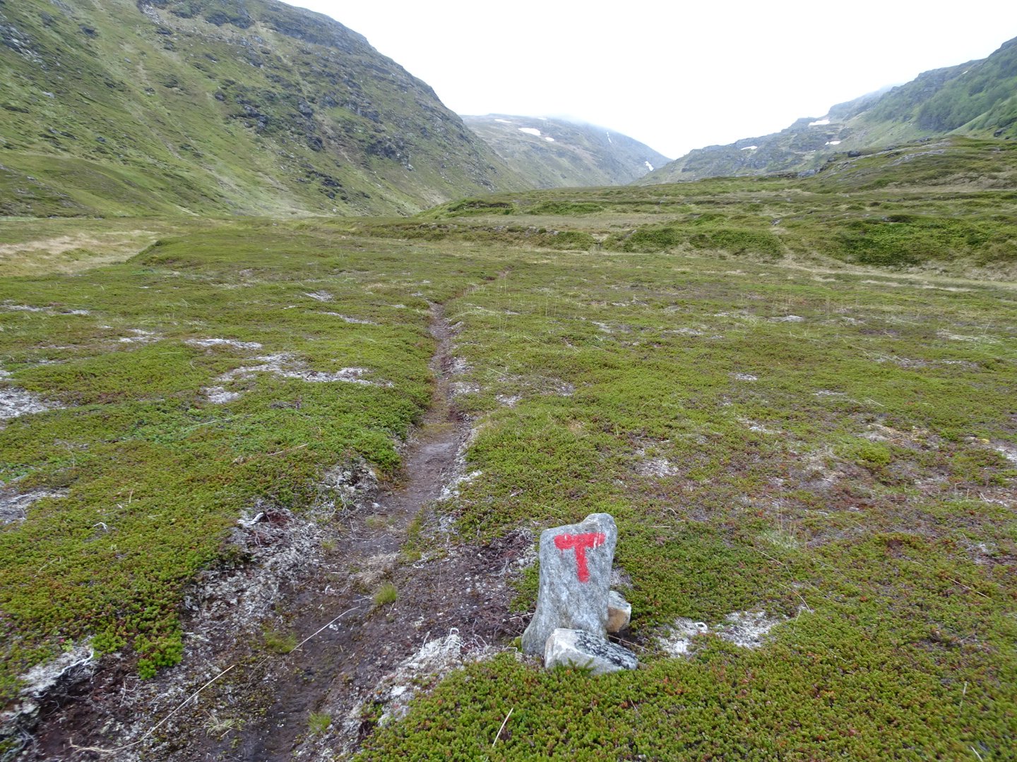
A marked trail!
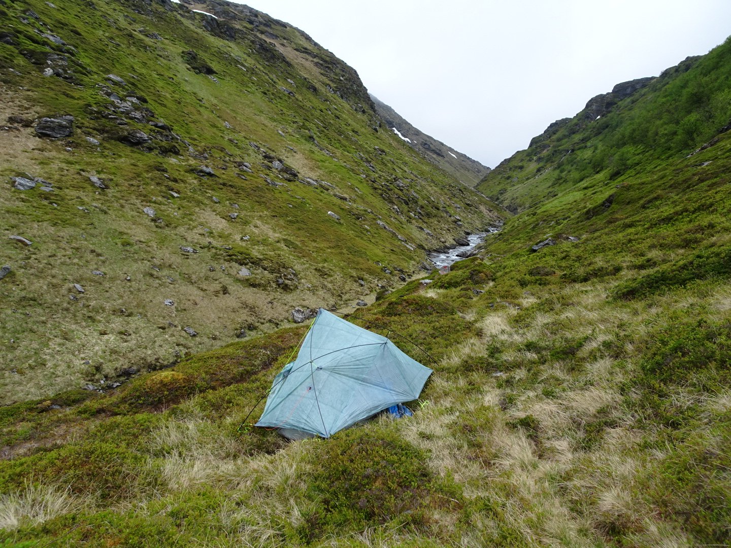
I was tempted to camp on a flat bit looking back to the Fjord but the wind was cold so I decided to find a more sheltered spot. I filled up with water at a tiny stream so I was ready when I found my spot. Only a couple of hundred meters on there was an impressive waterfall to the left and a tiny patch of flat ground in a hollow. Perfect! I set my tent up and started my night routine.
Night 3 -Looking up the valley
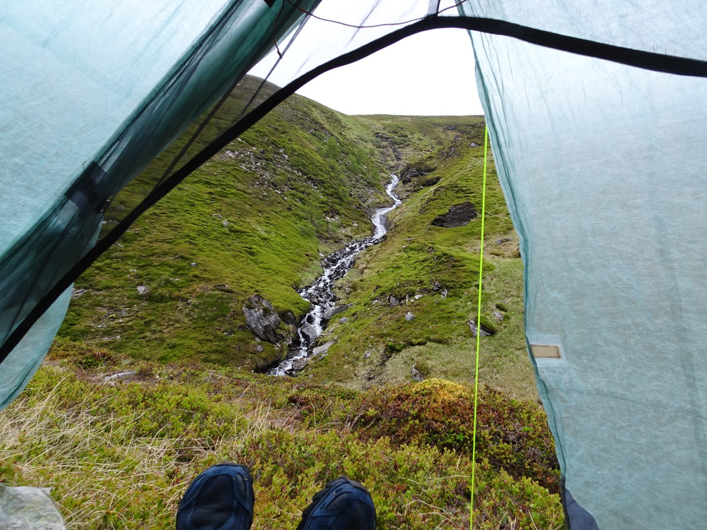
View of the waterfall from my door
Tonights dinner was Potato flakes and I started at the waterfall while eating. It dropped down over flat rocks before tumbling down over rocks – fantastic. The roar of the waterfall is what will sooth me to sleep tonight.
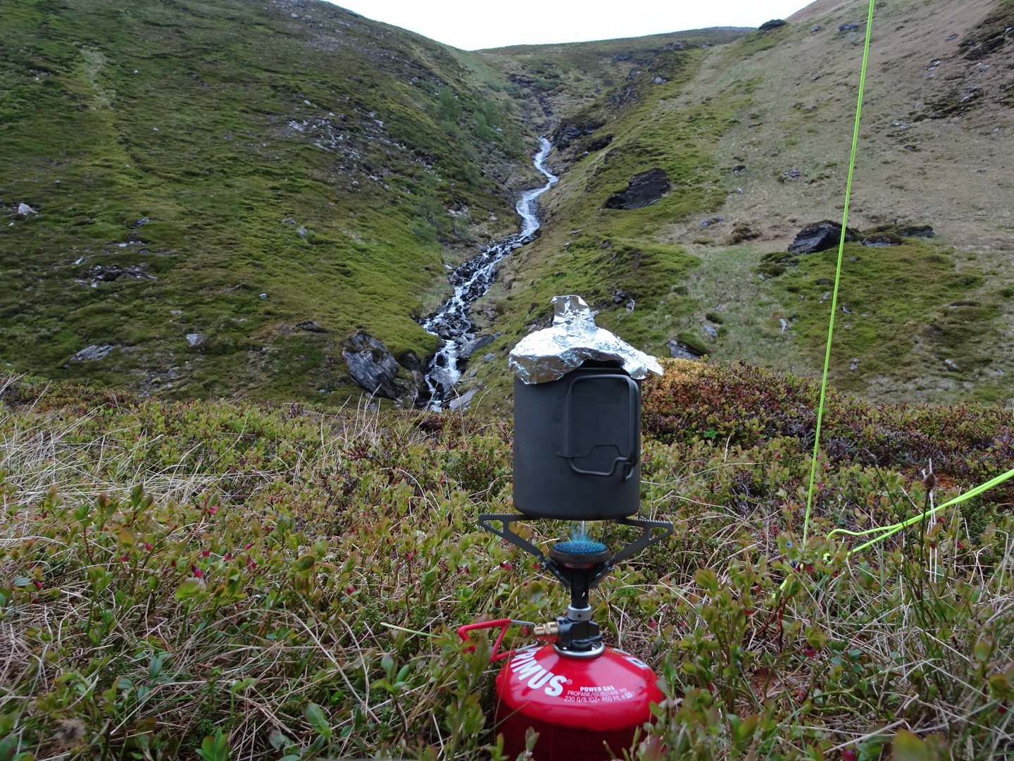
Cooking dinner
Views: 465