
Day 8 – 27 Jun, Olderfjord to Foot of Skaiddemoh
(20km, total 152.5, 6h , 1030 to 1630)
For video click here Video Day 8
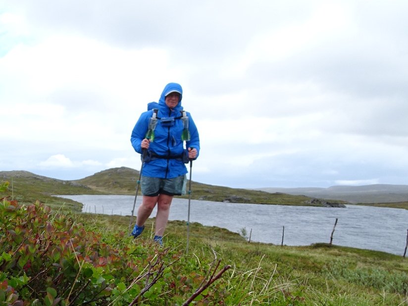
After another night of comfort I got up and made the most of a hot shower before loading up at the buffet breakfast.. Then back to my room to finish packing ready for 1000 checkout. After fighting through the busloads of tourists I was able to hand in my key and walk the 200m to the shop to buy lunch for the next 9 days. There was no tortilla bread which is my staple for hiking lunches due to its durability so I will try some Knekkerod which looks like a cross between a biscuit or cracker and a heavy grain bread. I also grabbed a tube of Bacon Ost which I assume is bacon flavoured cheese spread. Also some reindeer salami.
The store ladies were nice enough to let me weight my pack on the post office scale and it came in at 13.47kg. That is including all food for 9 days and 1 litre of water.
I then walked another 50 meters to the junction that would take me back to where I left the trail. There was not a lot of traffic except tourist busses but it was less than 10 minutes when a couple of Swiss guys picked me up. They were doing a mammoth drive that day to get to a big city in time to watch Switzerland world cup soccer game. The dropped me off in the picnic area so I headed across the road to the spot I got in the car on Day 6.
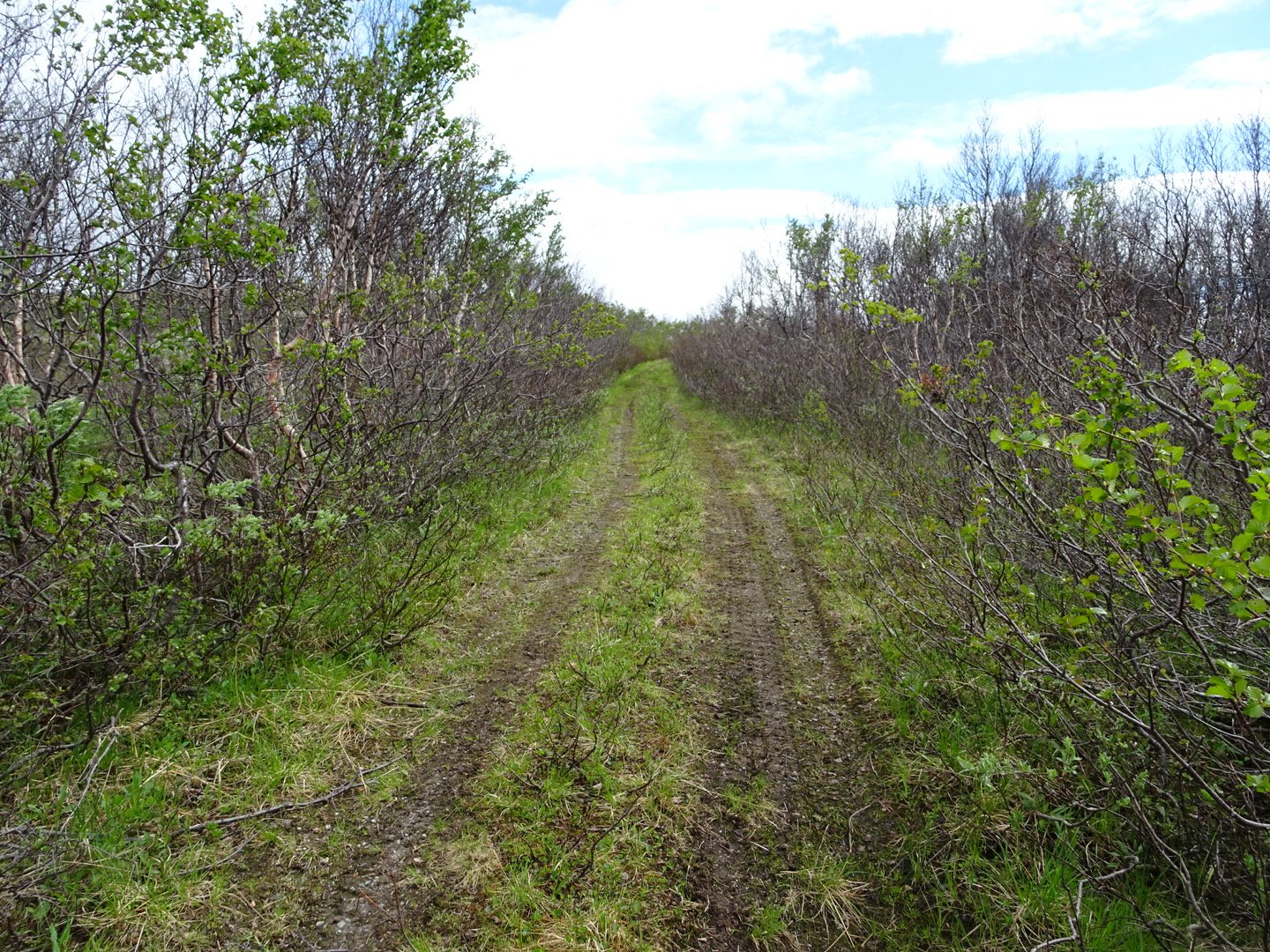
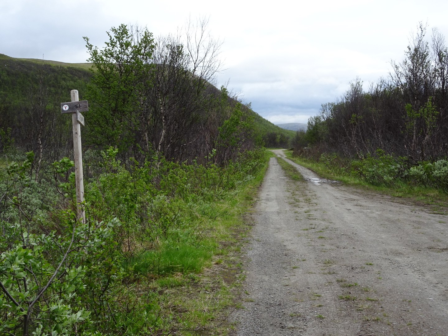
The first 2.5km was on a 4wd trail so easy walking to get back into it.
I was concentrating on my walking technique to try and soften the jarring. My right knee was really swollen and sore during my rest time and think it is because I have not had enough time to adjust to the zero drop shoes and I am dropping heavily onto my heal. I did some internet research on walking techniques and am trying not to let my full weight go onto my heel. Rather I place my heal then, as the rest of my foot goes down, release the weight. I will alternate between both techniques to adjust my muscles. Hopefully it will help the knee. I took an Ibibrophen last night and again this morning to try and reduce the swelling and it did seem less swollen this morning.
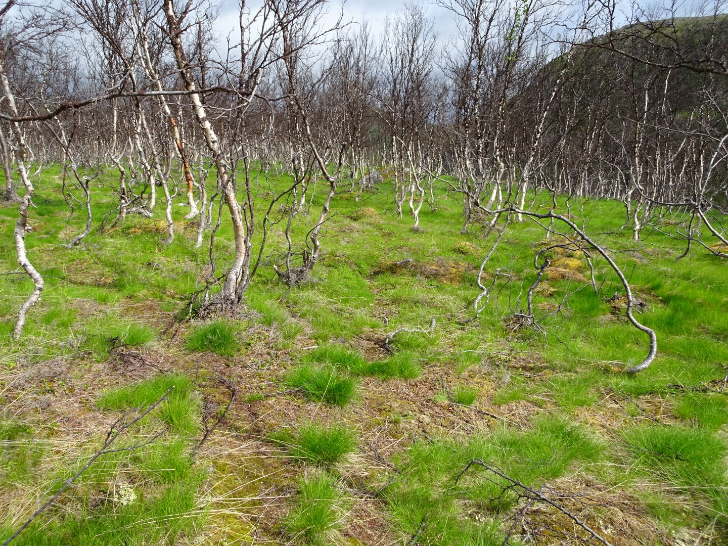
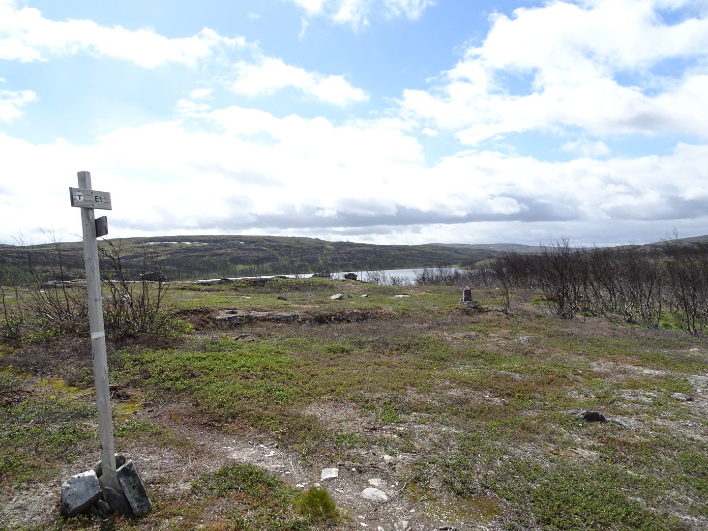
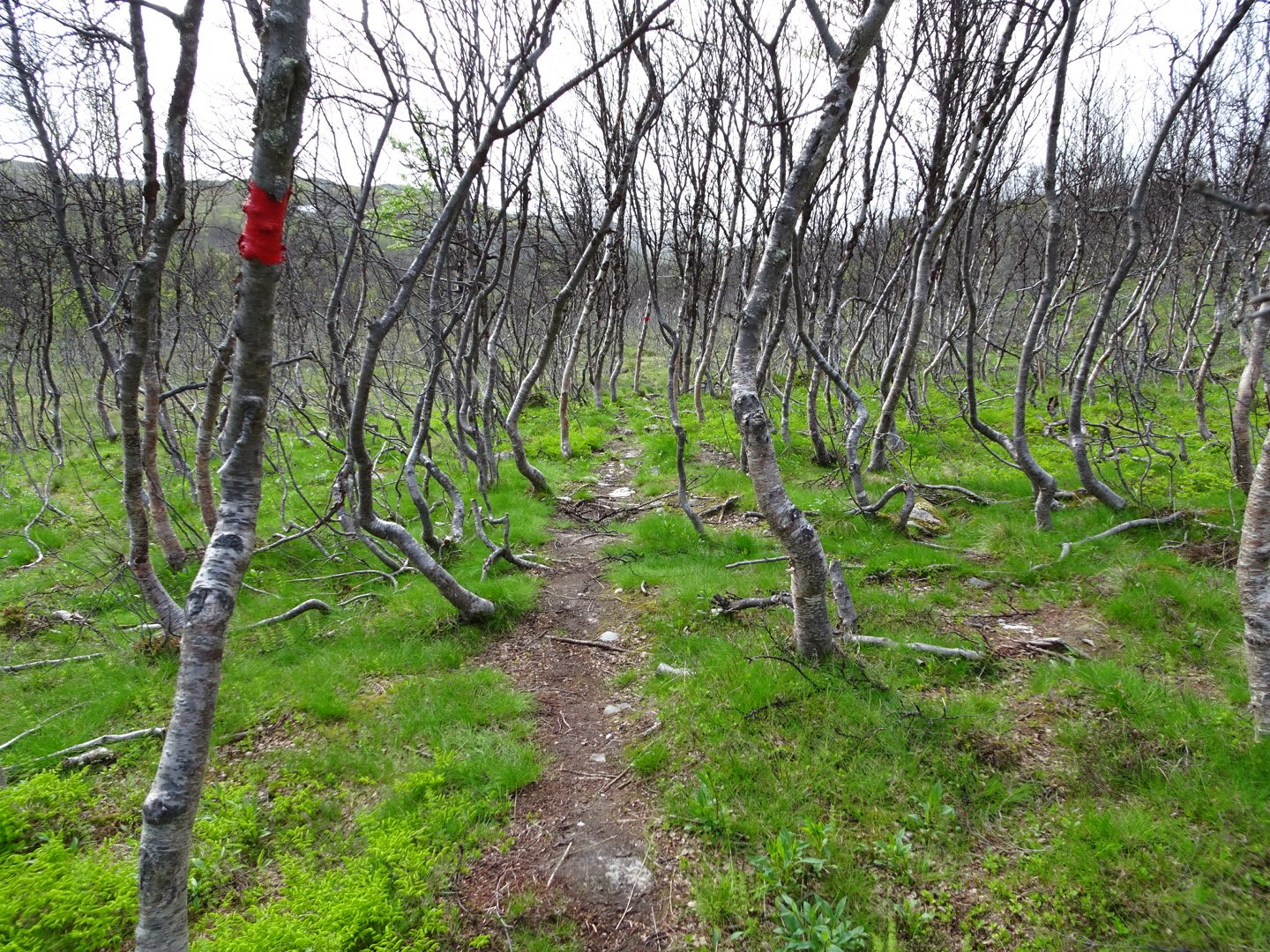
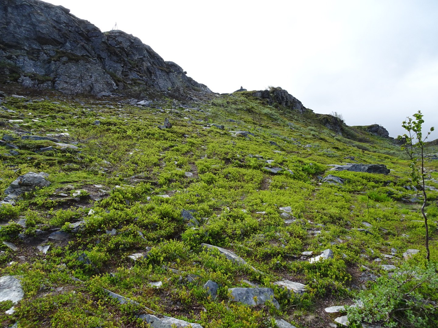
There was a helpful E1 trail sign showing where to turn off the 4WD track and after a climb up a 10m steep bit the trail meandered up and down through a forest. Some of the trees were starting to bud their new leaves but most were still bare. It was a nice change from the wide open spaces of the last leg, though the swamps were just as frequent.

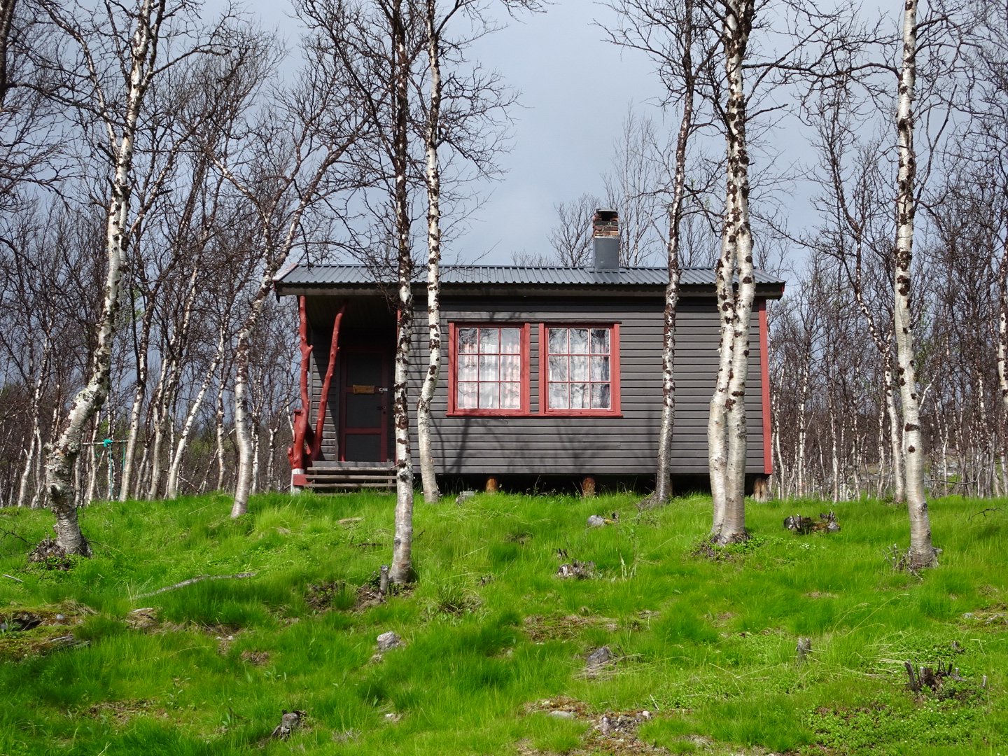
After 2.5km the trail emerged at a lake and then followed the northern edge past a couple of cute cabins.
The wind was noticeable and strong, though nothing like Day 5.
I have been impressed that so far there has been a track to follow and the markers have been pretty good. However because there were lots of tracks slightly veering off the trail I did need to be wary of losing the markers. A couple of times I was following the trail and didn’t see a marker so looked around and would see it off to the side. Having no leaves on the trees helped with this. I was feeling good and surprisingly the pack weight didn’t seem too noticeable.
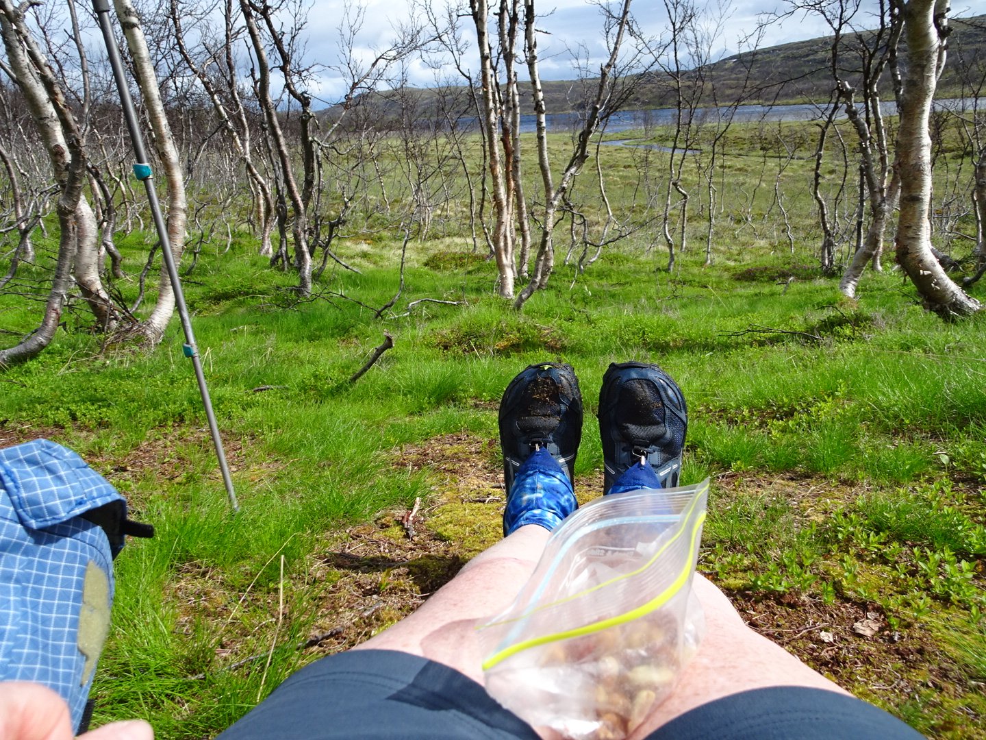
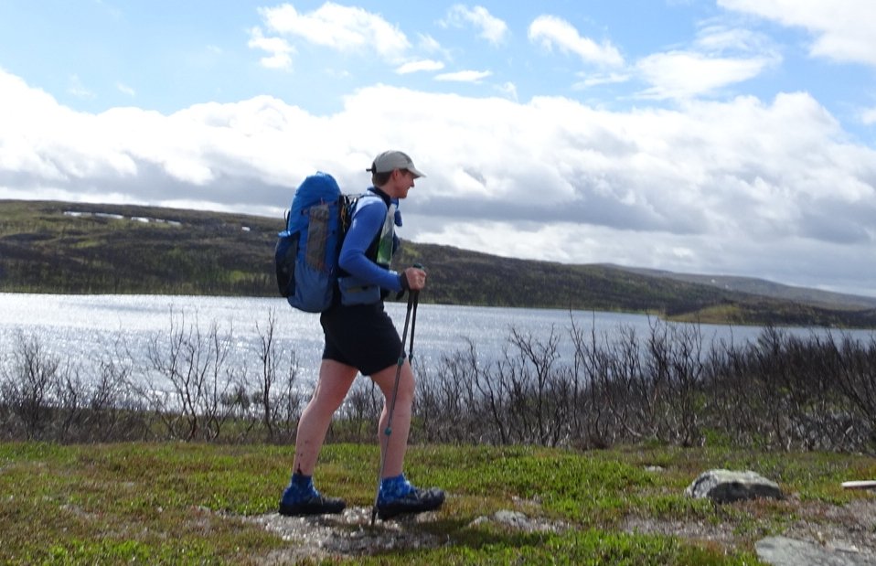
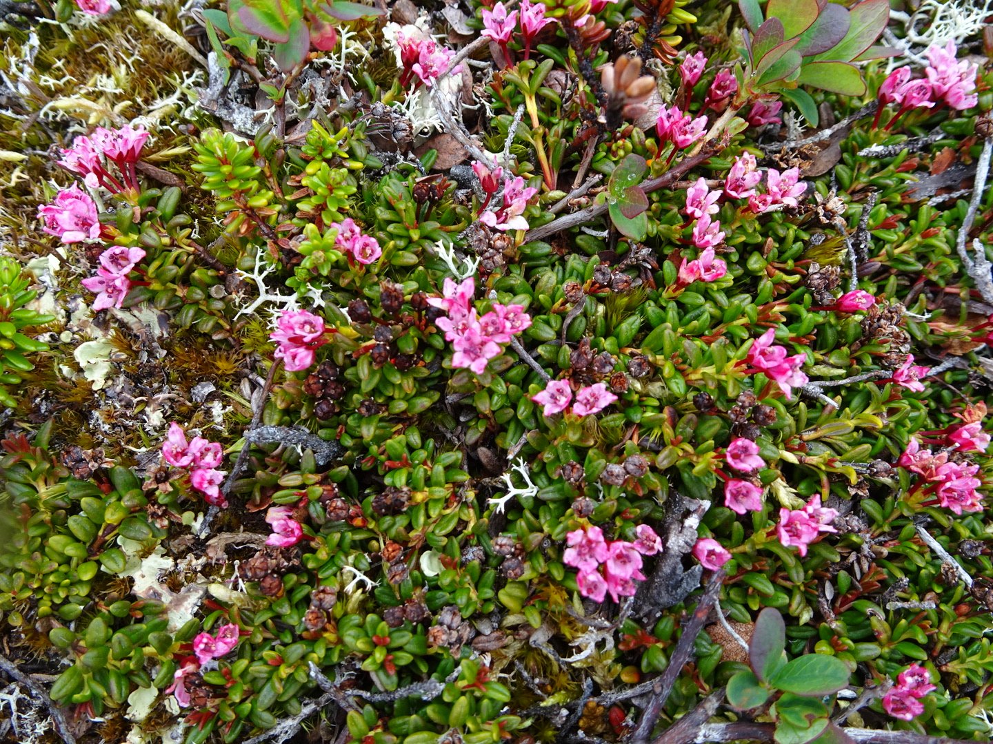
Snack time
I barely noticed my knee, and it definitely wasn’t sore, I could just feel the fluid around the kneecap occasionally.
From the end of the lake The trail followed a stream, still in trees for another couple of km. During this time the wind was getting cold so I put on my wind shirt and 10 minutes later it started raining so windshirt off and raincoat an rainskirt on.
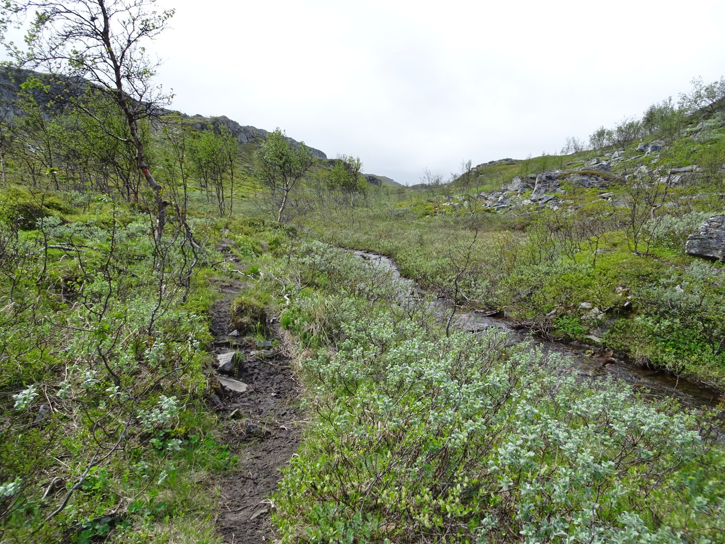
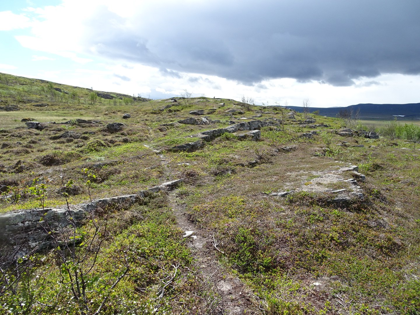
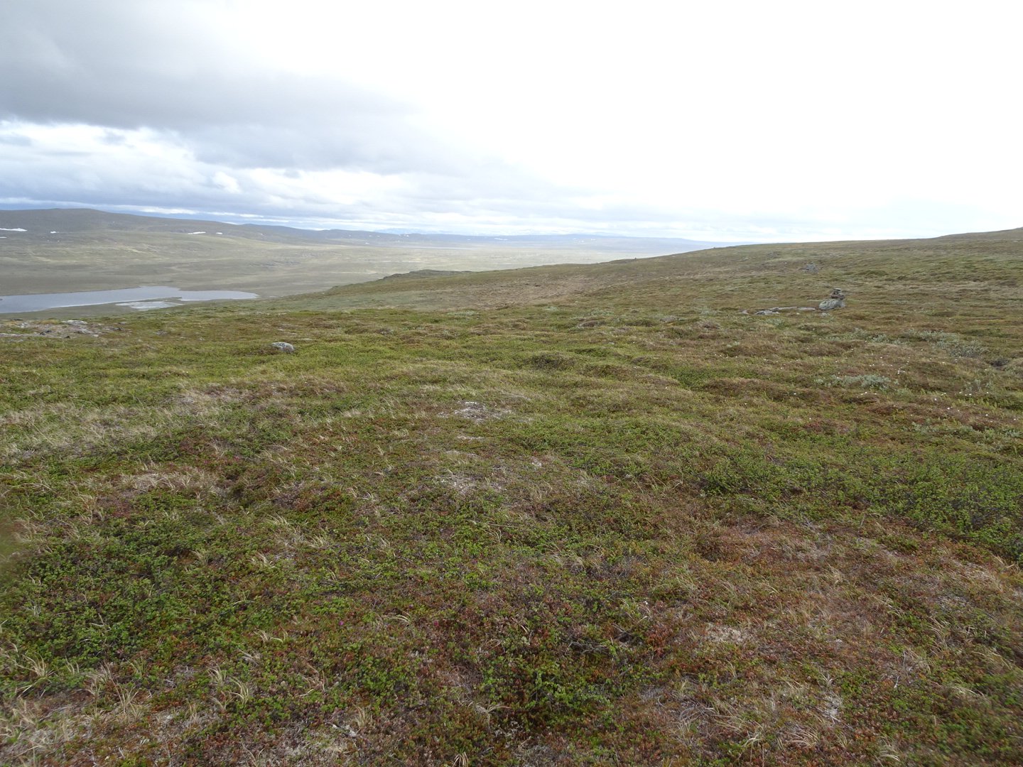
The track then crossed over the stream and climbed a little and then sidled along just below some cliffs. Looking down at the valley floor it looked like continual swamp so I was happy to be above it. At one point I looked back and realised how pretty the part I had just walked was.
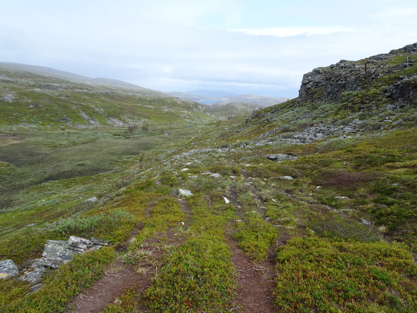
Looking back at what I just walked
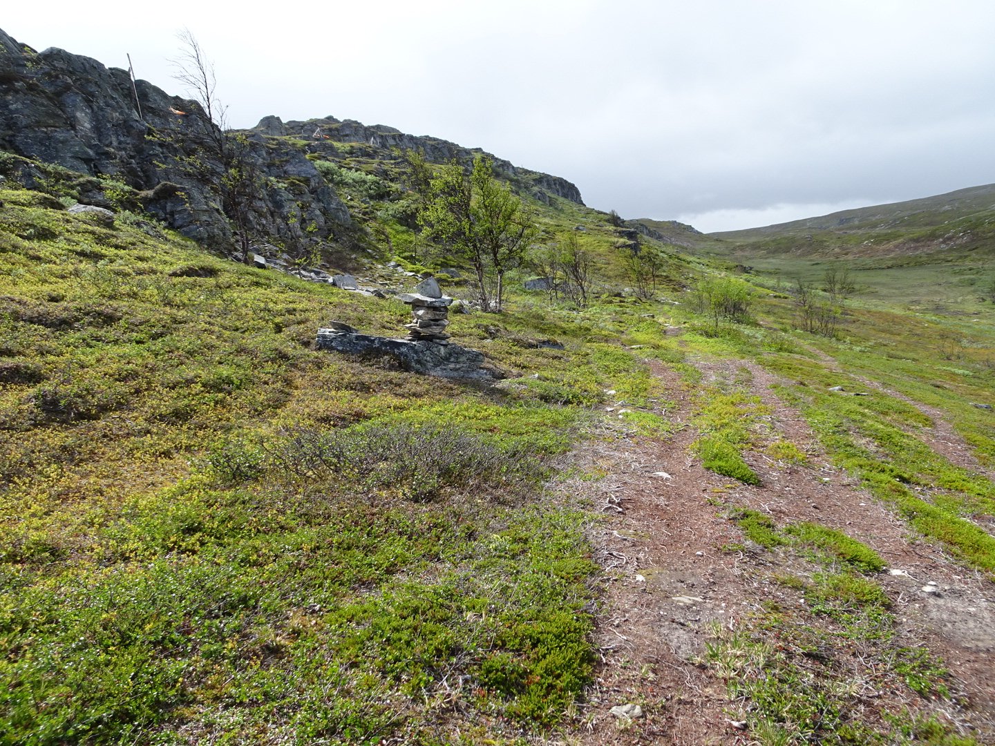
I walked past a little lake and then had to cross the reindeer fence to the left to go around a bigger lake. For the first time the turnoff point was clearly marked.
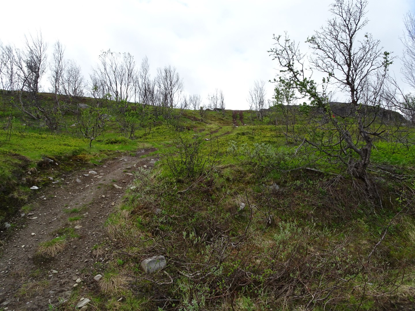
Once around the lake the trail crossed a saddle and it was at this point that there was no longer a track underfoot, though the trail markings were still good. As I started descending the valley below began opening up. There were lots of lakes and it was wide open. I could look across the valley at the hill that I would be climbing and then walking along.
The descent was not as steep as expected but the bottom was just as swampy as it looked from high. At one larger swamp I could not see the next trail marker in any direction so Just kept heading in the general direction I needed and 5 minutes later I was back following the trail markers.
After meandering across the valley floor, avoiding lakes but going though swamps the trail started gently climbing to a plateau about half way up. There were areas of rocks which were interesting to look at.
The rain eased slightly and I actually saw some blue sky but could see an angry looking dark grey cloud ahead. The wind was cold enough that I kept my jacket on with the hood up, though I did put on my sunglasses, more because my eyes were getting sore from the wind. Just short of a thicker patch of trees I saw what I think is an Elk. I am not sure if they are this far north but it was dark brown, bigger than a reindeer, by itself and had big ears. It had a baby with it. It took off into the trees then stood there watching me for a brief time before disappearing. Wow that was great. (confirmed later that there are Elk here)
As I continued I kept looking up to the left to see if I could spot them again but no luck. I emerged out of the trees and headed around the end of the spur to a stream crossing and then slowly headed up the hill.
The trail goes to the left and then heads up the hill all the way to the skyline on the right
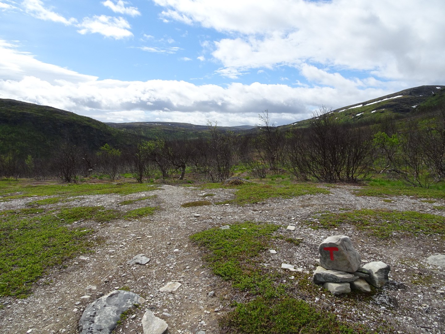
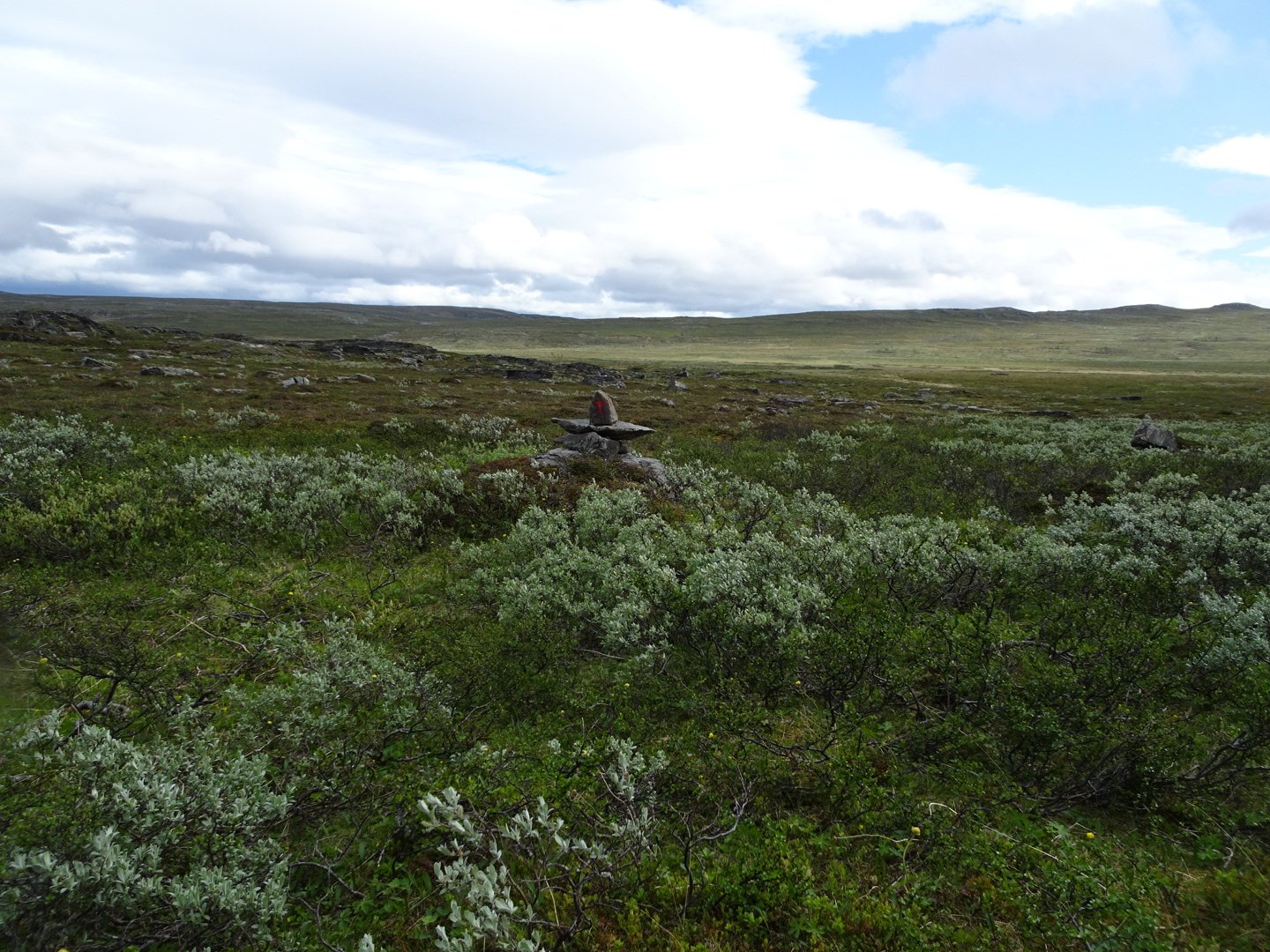
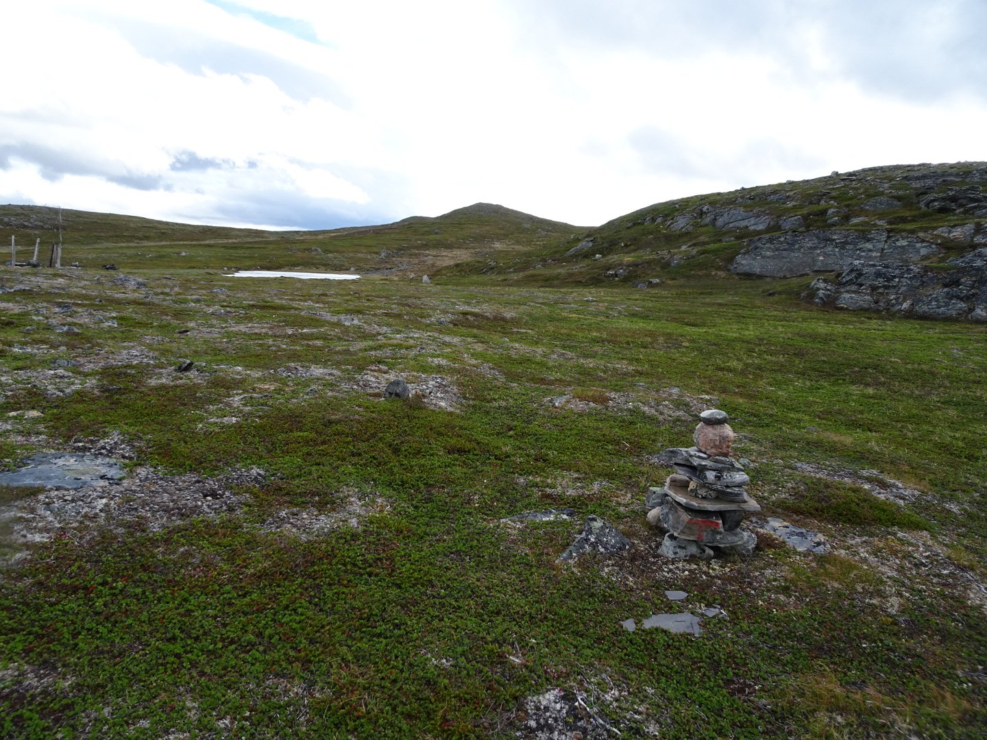
The trail markers on this part had a lot of variety. There were some with antlers over top, some were sticks in the ground with a red mark, some were white string and some normal rock piles. They were well spaced and easy to follow through the small thickets of trees and multitude of swampy areas.
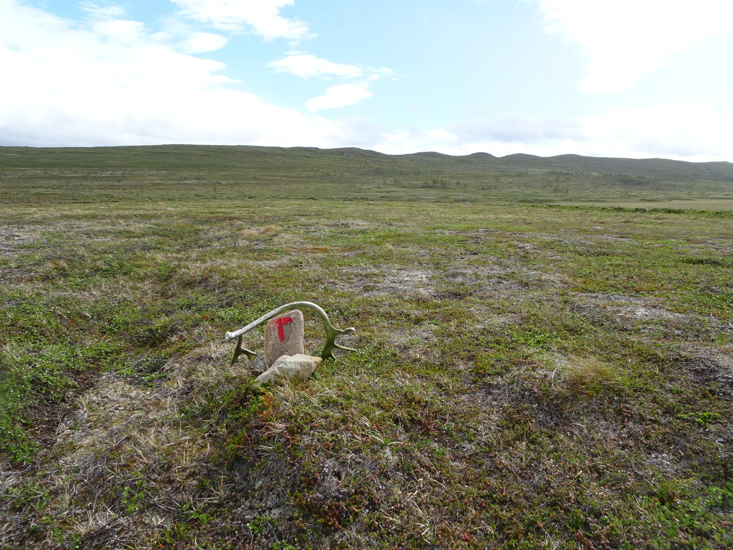
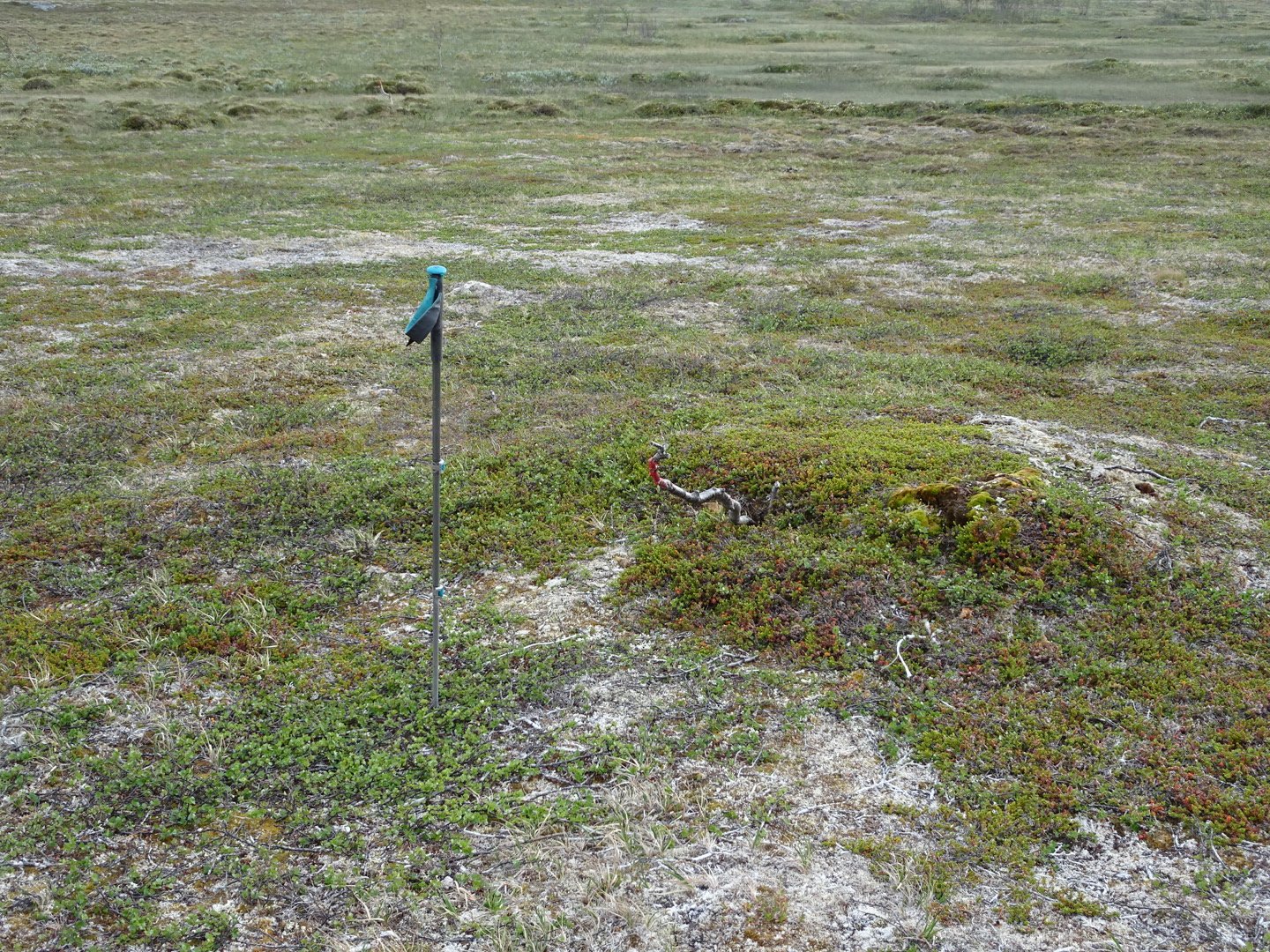
Spot of red on the stick is the marker
Part way up was a reindeer fence and I followed this to the top of the hill. Once over the brow a lake come into view and the trail continued over the big depression on top of the hill from little lake to little lake to swamp.
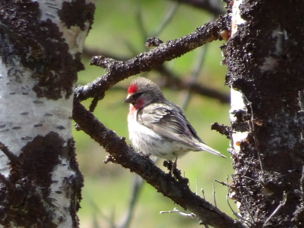
Part way along I saw two birds which looked like they were still in transition from winter white to summer brown. I am not sure I would have seen them otherwise. I think they are Ptarmigan.
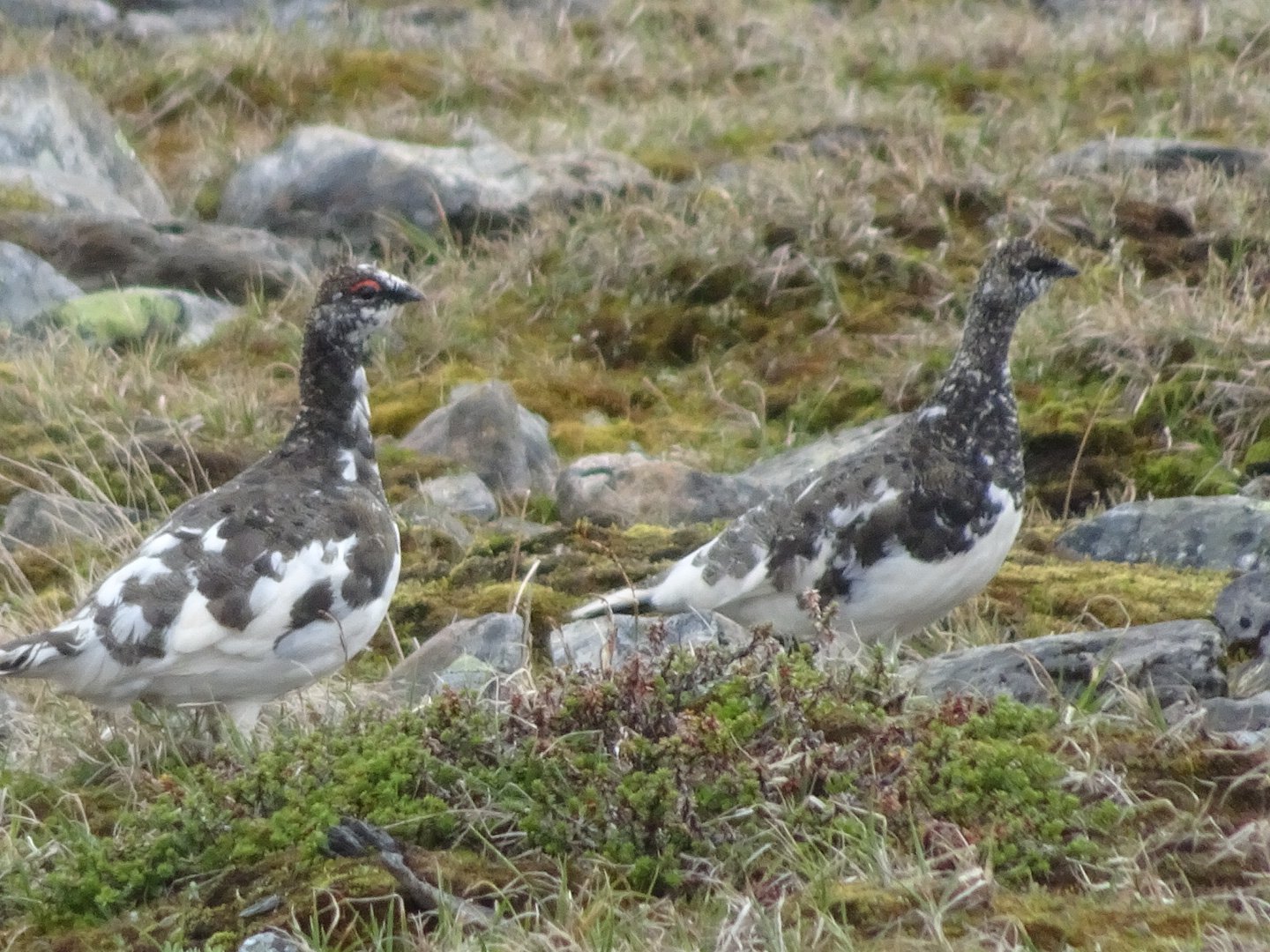
Ptarmigan Birds
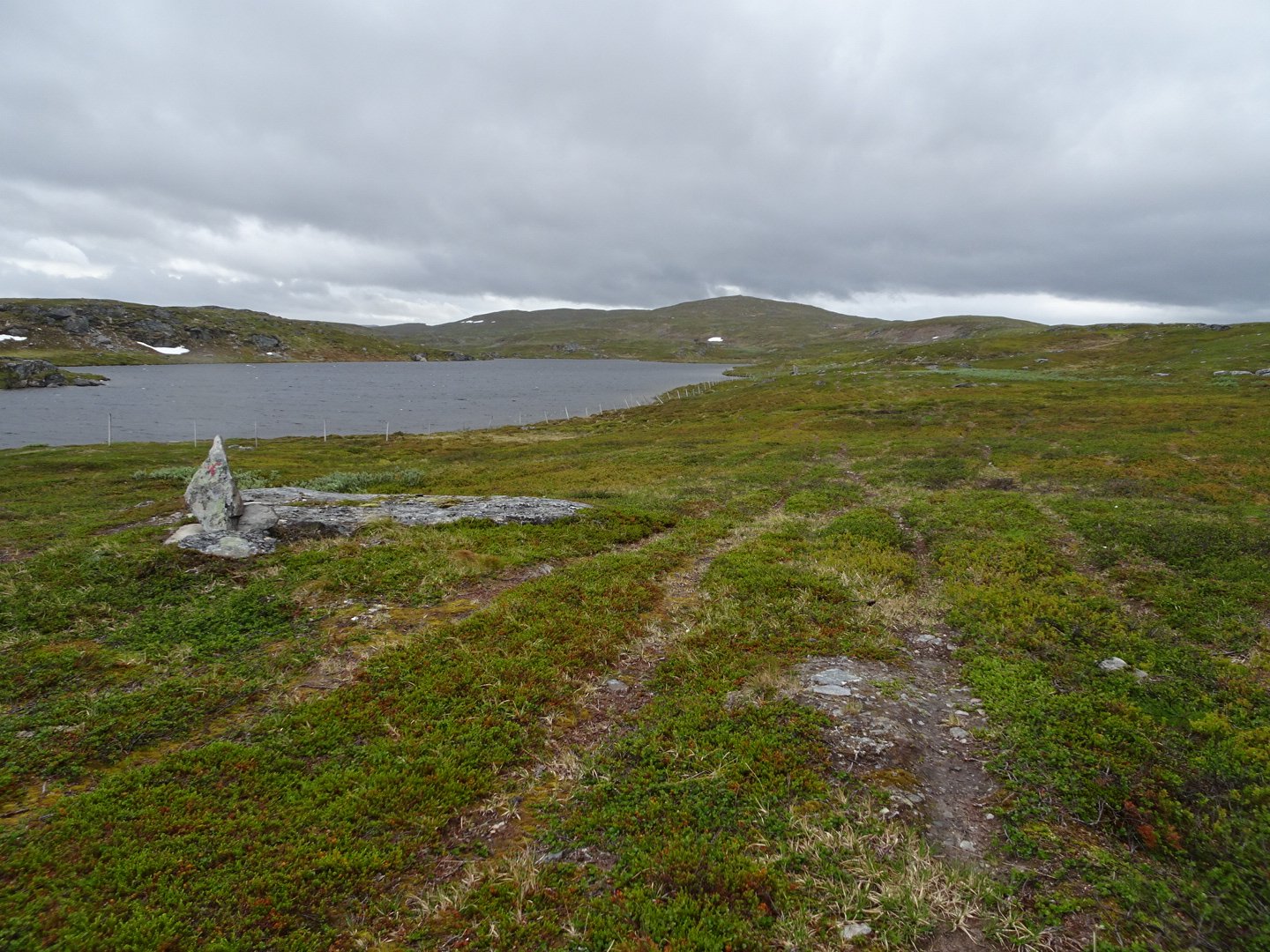
The trail climbed out of the depression and I eagerly approached the brow of the hill. I always look forward to the transition from climbing until the view ahead reveals itself. Here in Norway there is always something spectacular revealed. This time it was a large flat area with a river going through, some lakes and now covered mountains in the distance.
The lake in the distance is where I will be going tomorrow.
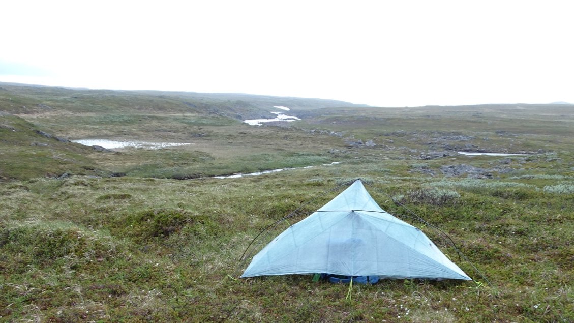
There was then a big descent to a river and I looked around here for somewhere flattish to camp. The wind was coming and going and the rain on and off but I was able to get the tent up easily and get into night routine.
Firstly empty the pack contents into the tent and put the pack under the tend back flap. I had sewn a zip in the rear mesh before leaving home and this has been handy to access my pack when I forgot to get something out of it. Next is turning the Satellite Phone on to get a location fix and send this to my Mum. While waiting for it to get a fix I dig my toilet hole. Now filter some water – 1 litre for dinner and breakfast. I then get in the tent and take off my gaiters shoes and socks. The gaiters and socks hang off a line above my tent door and the shoes under the front flap to one side. Then a wet wipe wash. Now fully in the tent I inflate my mattress with a plastic bag (Kitchen Tidy Sack). Most people just blow it up but I prefer to use the bag, less effort and reduces the moisture from breath condensation getting into the mattress. Next is sleeping bag out to puff up. Then I start cooking dinner. I fill my cup to ¾ and heat that up. That gets poured into a freeze dry meal which is in a zip lock bag and that goes into my stay warm bag (clean Backcountry Cuisine Meal bag). I now fill my cup and heat that up. I put electrolyte powder in this and sip this while waiting for my meal to cook. Every second night I have instant pudding and that just has cold water into the zip lock bag and stirred before being sealed to sit for 15 minutes to set. I look at the map for the next day until my dinner is ready. After dinner and desert I type my blog for the day usually eating a couple of lollies and finishing my drink. That done everything is packed away and I get into my sleeping bag either to sleep or read if it is early.
It is a simple routine that takes about 40 minutes from stopping to being ready to start typing the blog. For this hike I have tried a new luxury gadget and am loving it. It is a folding Bluetooth keyboard. I find it frustrating trying to type on my phone and this keyboard lets me touch type at speed with very few errors. The battery life is great and it folds to just bigger than my phone. Definitely worth the extra weight which I think is around 200g.
That is enough for now. Even though it is still early I will try for sleep and an early morning, hopefully rain free.
Views: 507
Loving these detailed reports; hope the knee holds up
Thanks Chris, Thankfully it came right and has not bothered me at all.