
Day 13 – 2 Jul, River East of Mollesjohka Hut to Lake Silesjavri
(32 km plus stupidity bonus of 6 km for navigation issues, total 301.5km, 11h , 0740 to 1840)
Video: Video Day 13
Today started so well but became a frustrating and error ridden day. I slept ok, though still waking continuously throughout the night. It was warm and I woke up to the sun streaming in my tent door, which I left open last night (not the mosquito net, the rain flap).
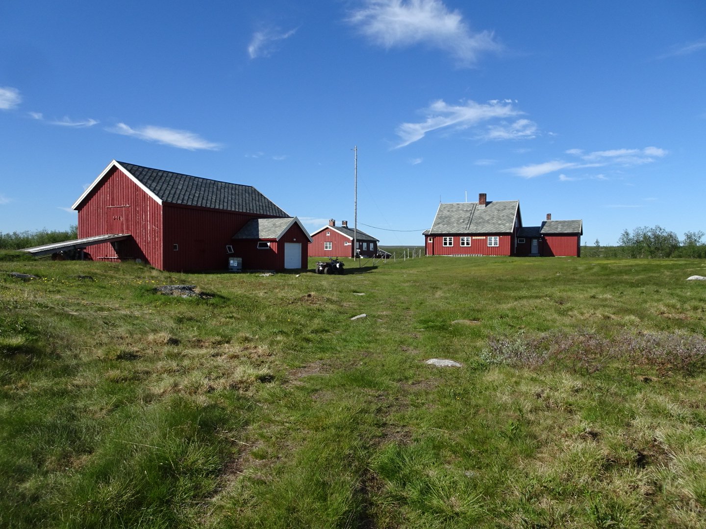
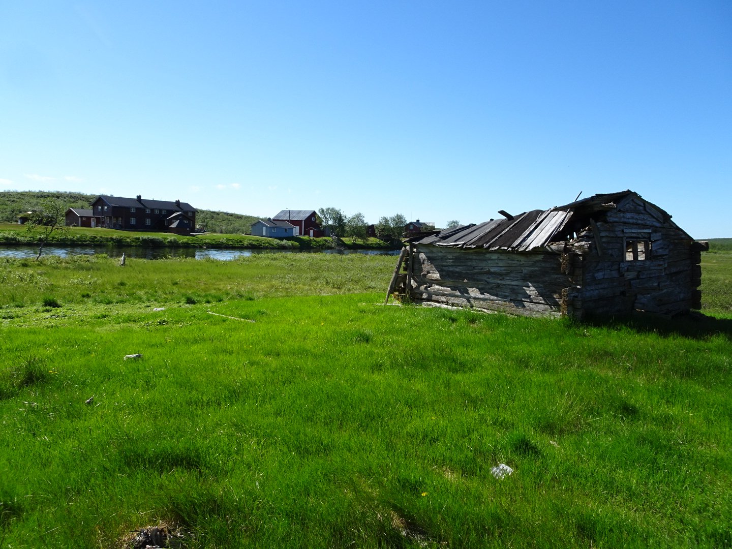
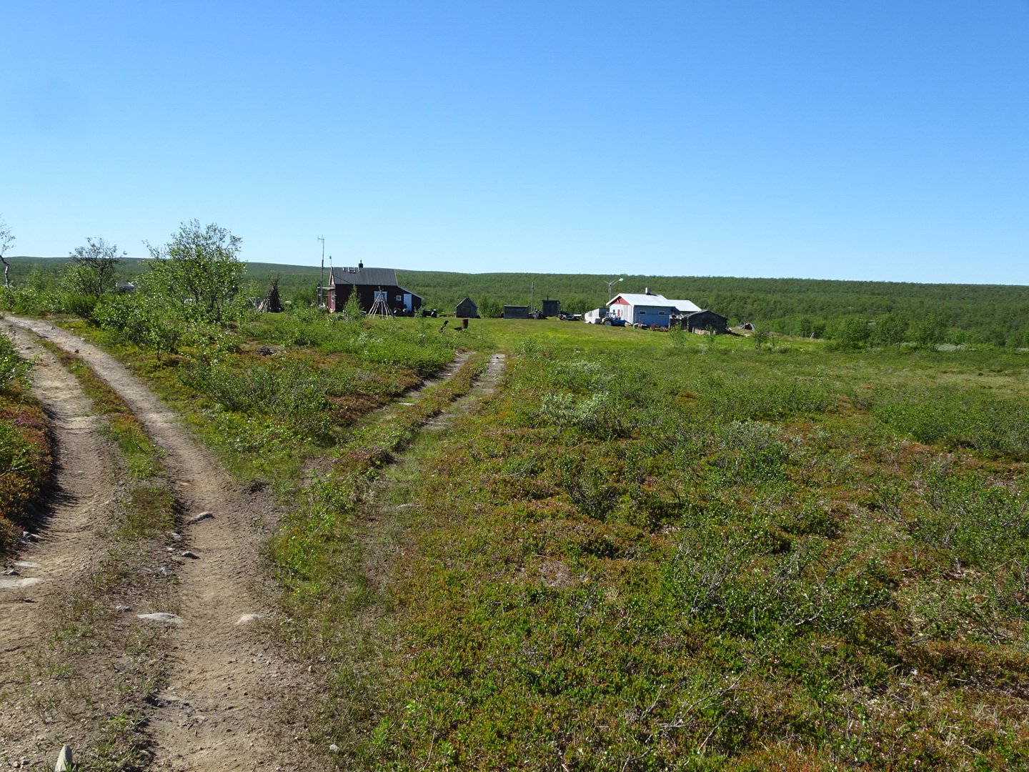
I was a very quick climb to reach Mollesjohka Lodge which is a massive multi building establishment, even with a generator running so they had electricity. I went to the main building to sign the hut book and this building was a massive dining room. I am still not sure if it is private lodge or part of DNT. The lady who was there was not very friendly and when I said I just wanted to sign the book she was gone without a word. I am glad I stayed in my tent last night.
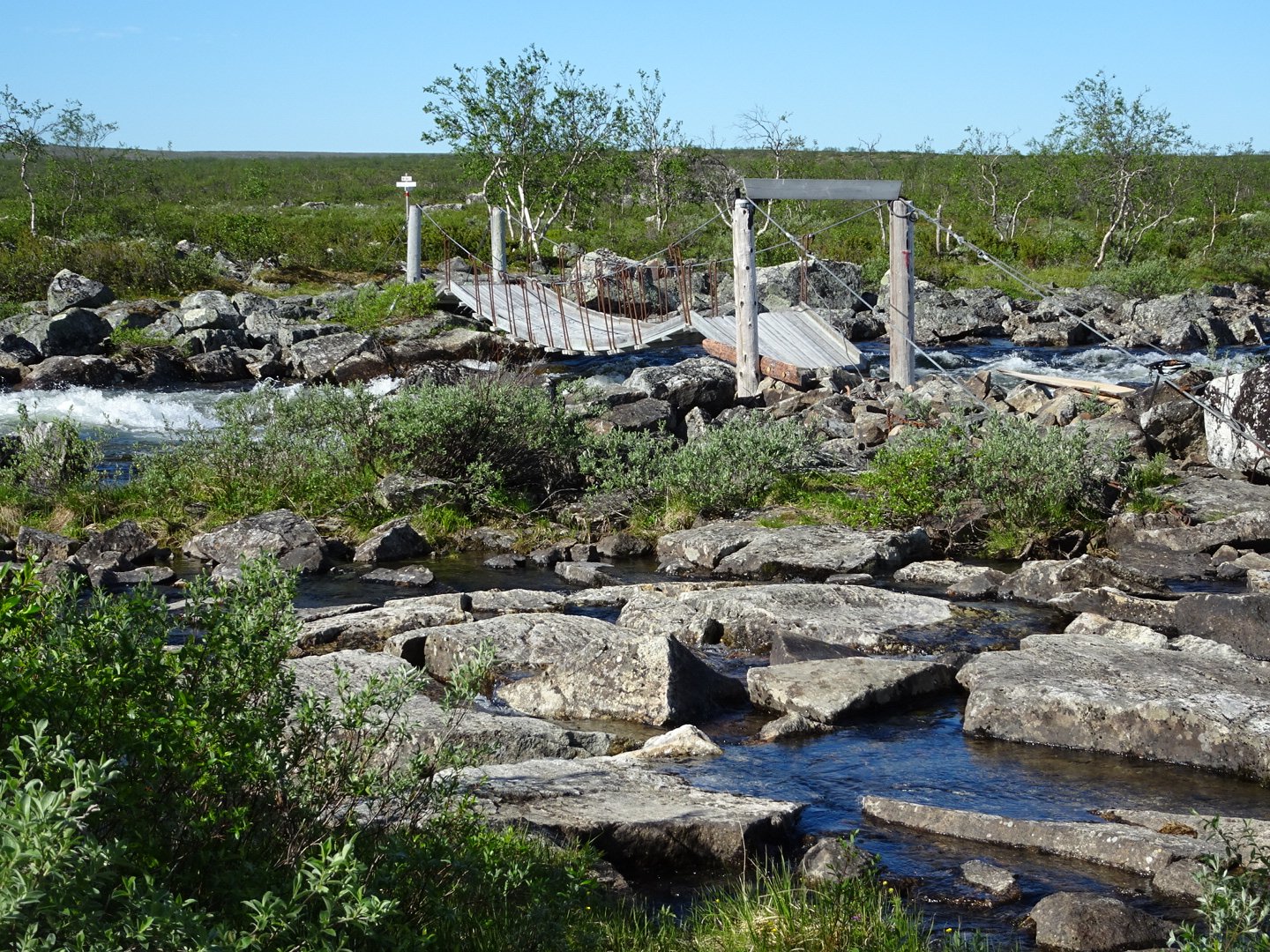
The trail led to a bridge, a sturdy bridge that looked suitable for quad bikes. The river was running very fast so I was glad to use the bridge.
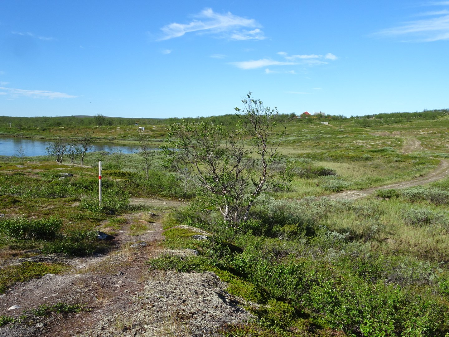
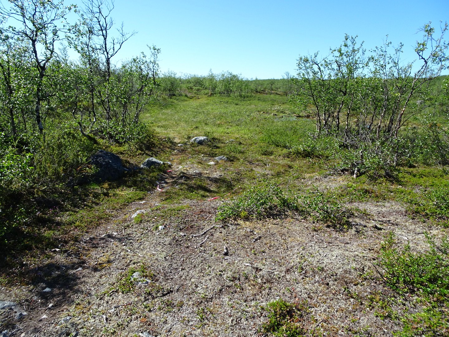
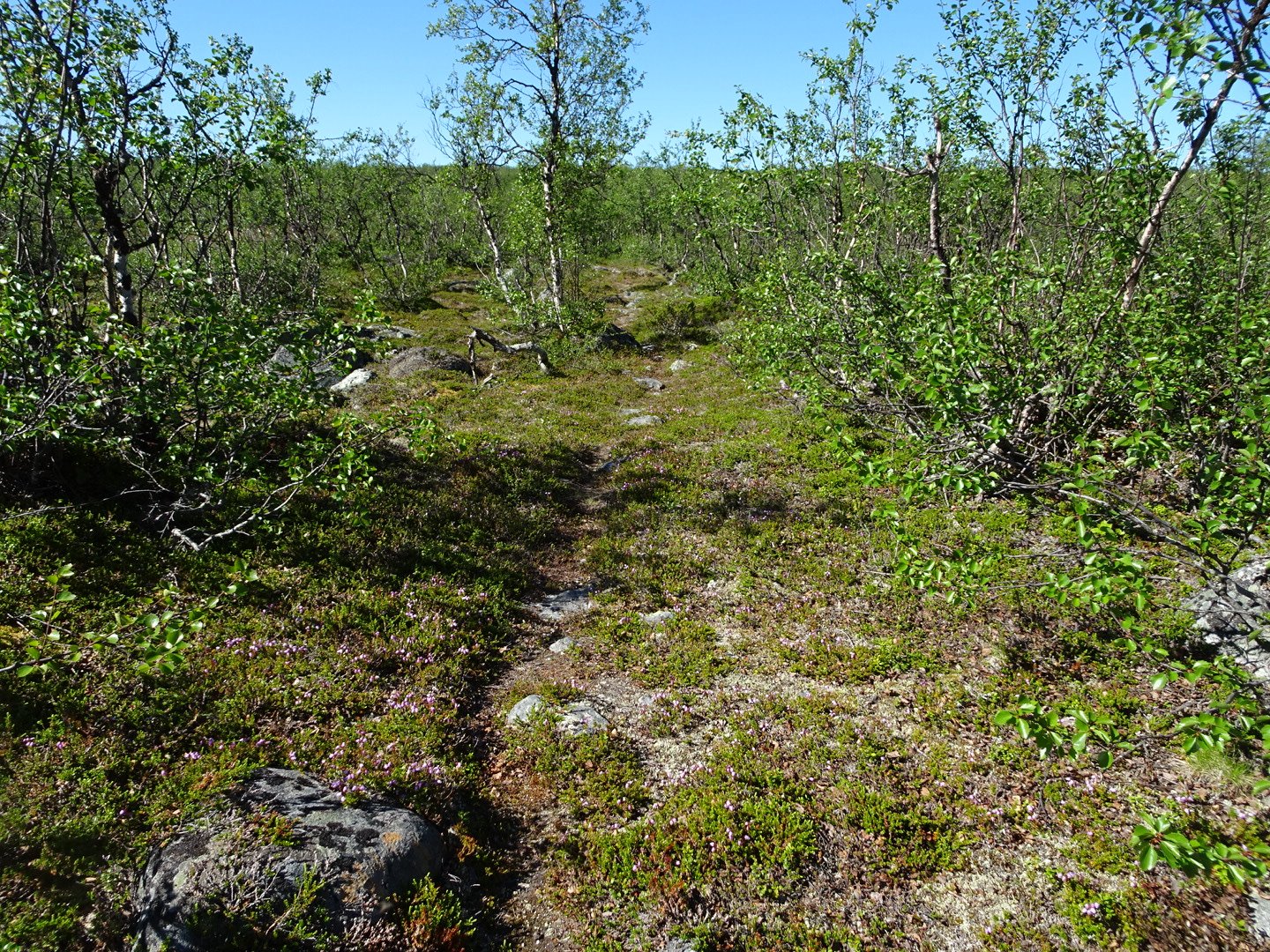
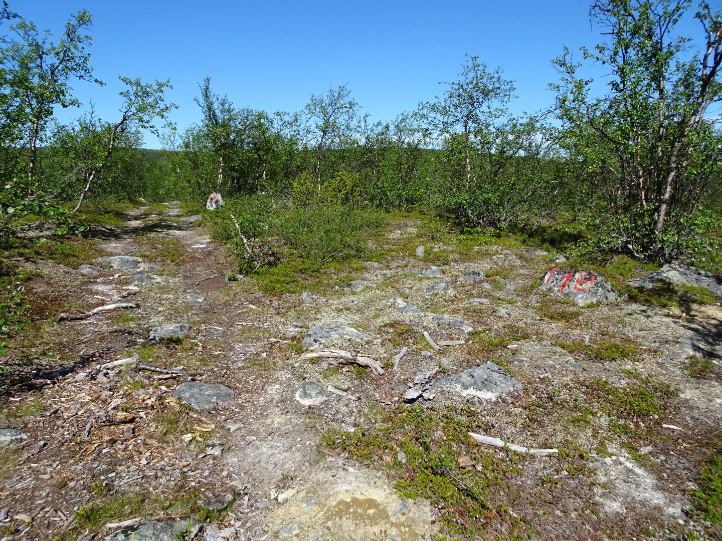
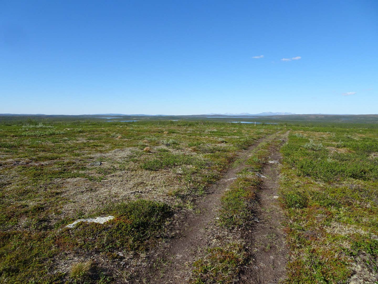
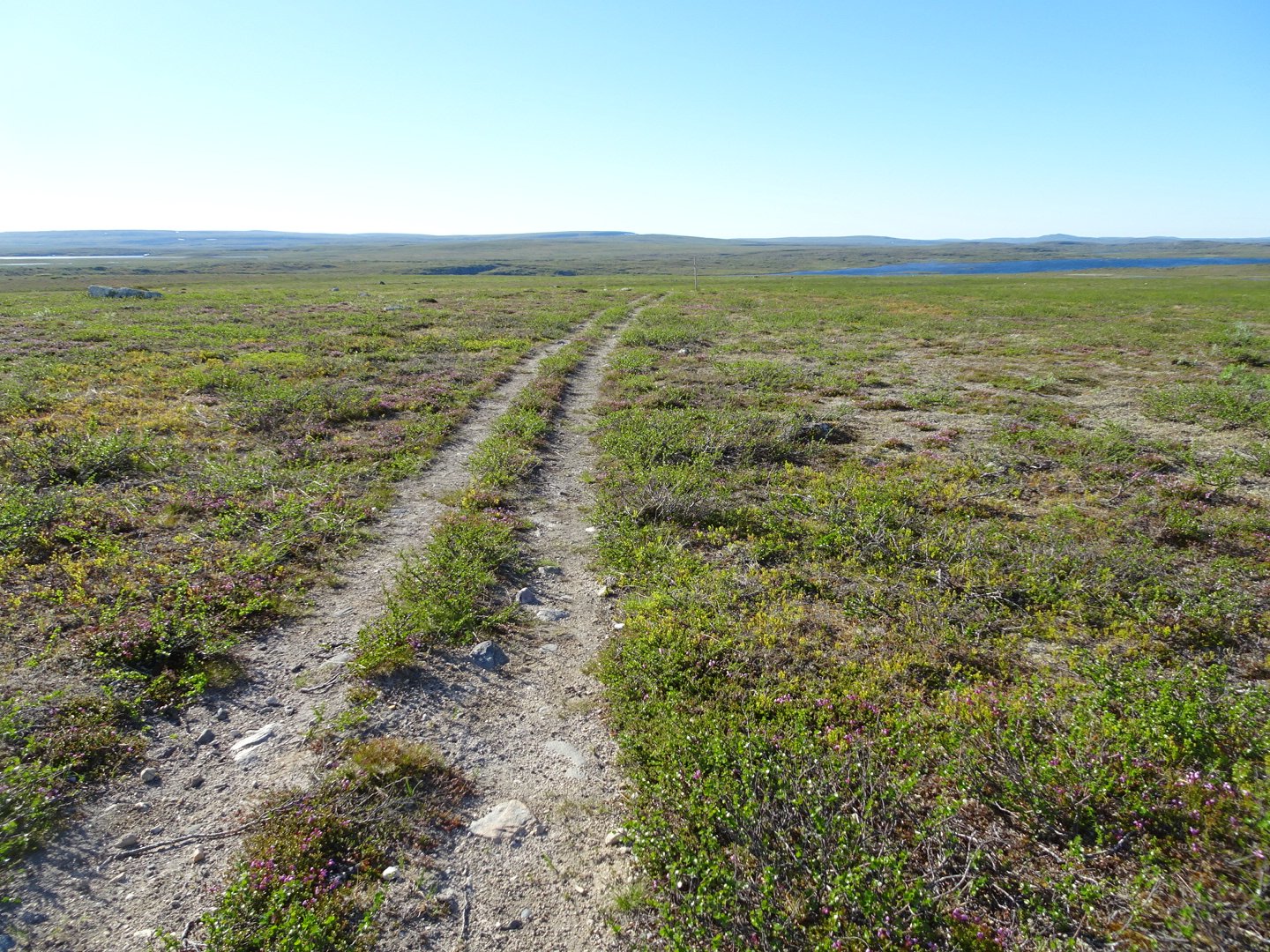
Straight after the bridge was a signpost for E1 so I followed that and had a fantastic couple of hours on single track, largely well marked, though sometimes the trail disappeared or there were multiple trails and I had to guess the right one. I did a little backtracking at times but only 50 meters or so.
I really enjoyed being on a hiking track, only the second so far, the first being the short out and back to the northernmost point.
The one point I struggled to refind the track was opposite where there was a number of buildings across the river. The trail veered down to the river so I turned around and went back up the hill to the last marker but could not see where the trail should go. I headed in the general direction and came across a trail which I followed but it started heading down to the swamp by the river. I skirted the edge of the swamp and found an animal trail I followed for a while and eventually this linked up with the proper trail.
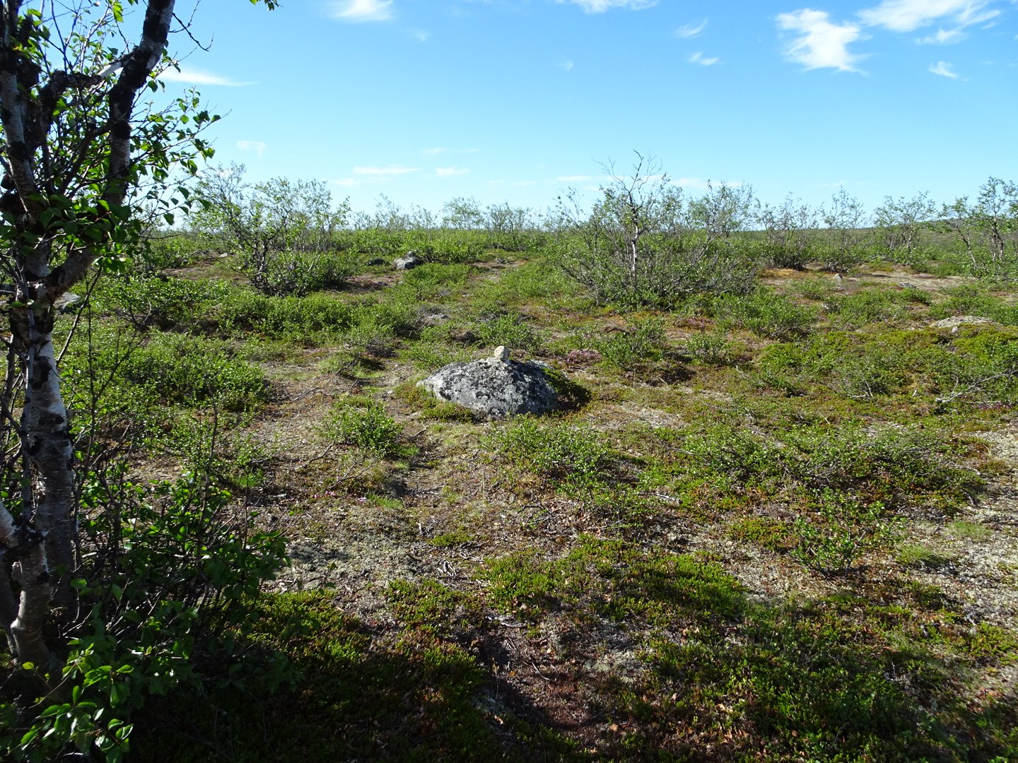
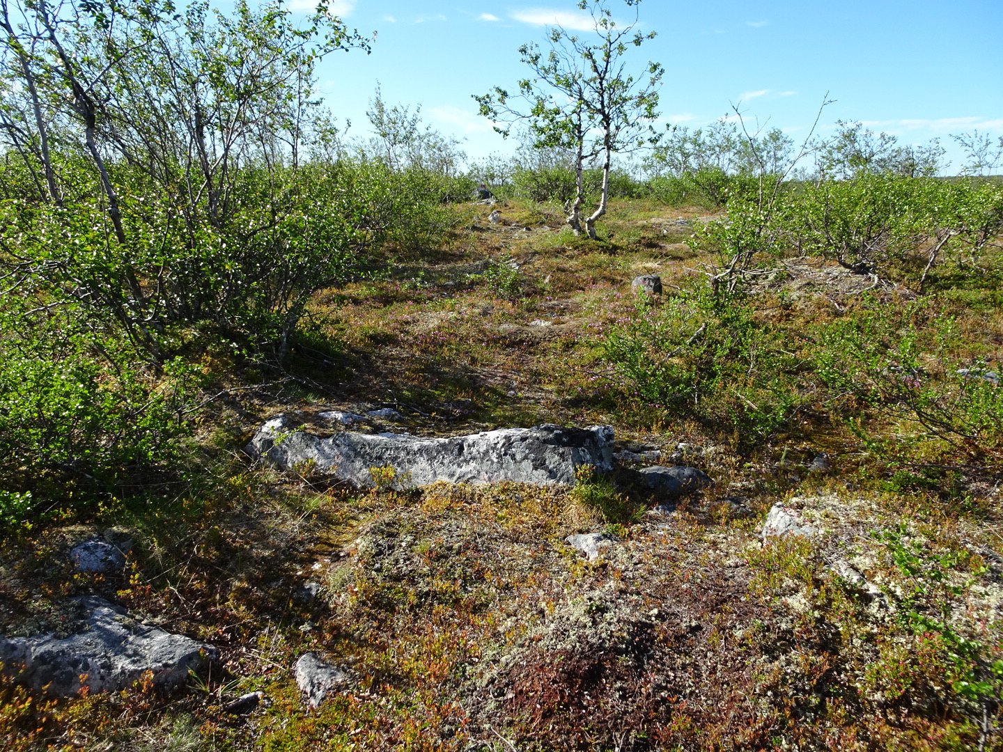
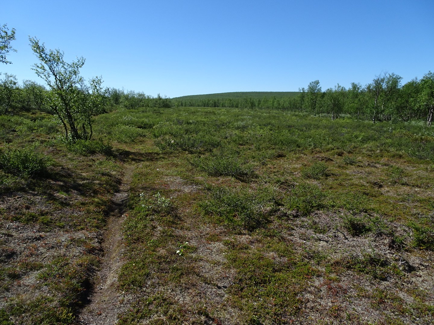
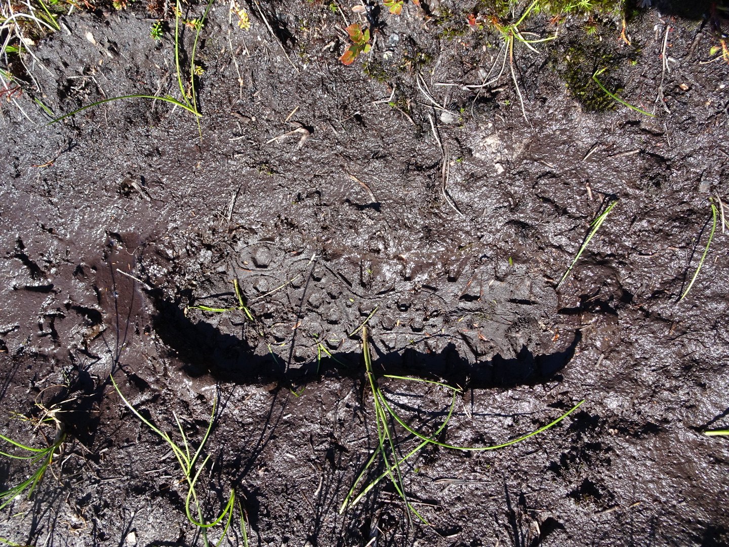
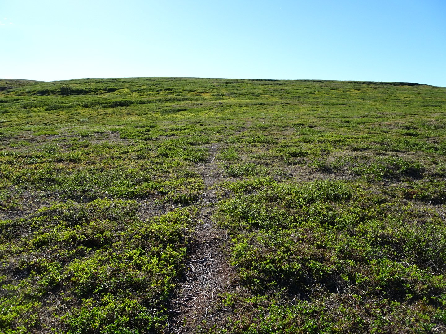
It was on this animal trail I had my first fall of the journey. Thankfully nothing was hurt except a couple of blisters on my calf were ripped open. I did not notice at the time only later. Most of this was in spread apart short trees with occasional open bits and occasional proper forest though they were very short and that is where the trail seemed to disappear frequently. Many times I would not even notice an intersection but after a while would stop after having seen no markers. The trail markers were quite far apart in places so it was hard to know if the trail was not marked or it was the wrong trail. I would then cut across in the direction I thought the trail might be and usually came across it pretty quickly.
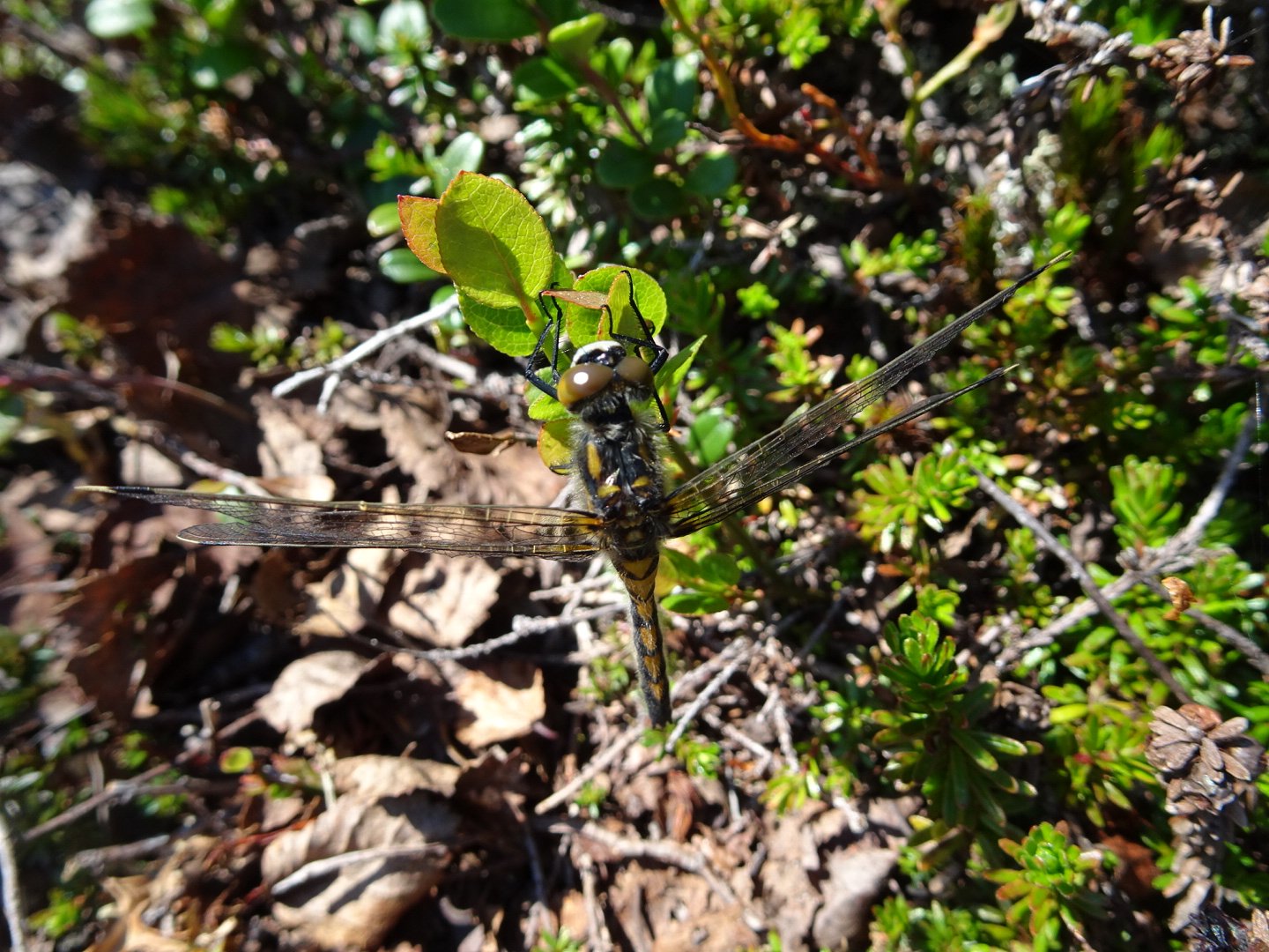
The temperature was pretty hot and the sparse trees did not provide much shade. When I would sit down for a break I was swarmed by a variety of insects. Thankfully most did not bite and after the initial rush many would go away. There was one insect that looked just like the New Zealand Sandfly but none of them were biting. Due to the heat I was stopping to filter water often.
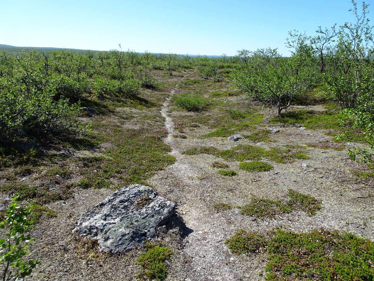
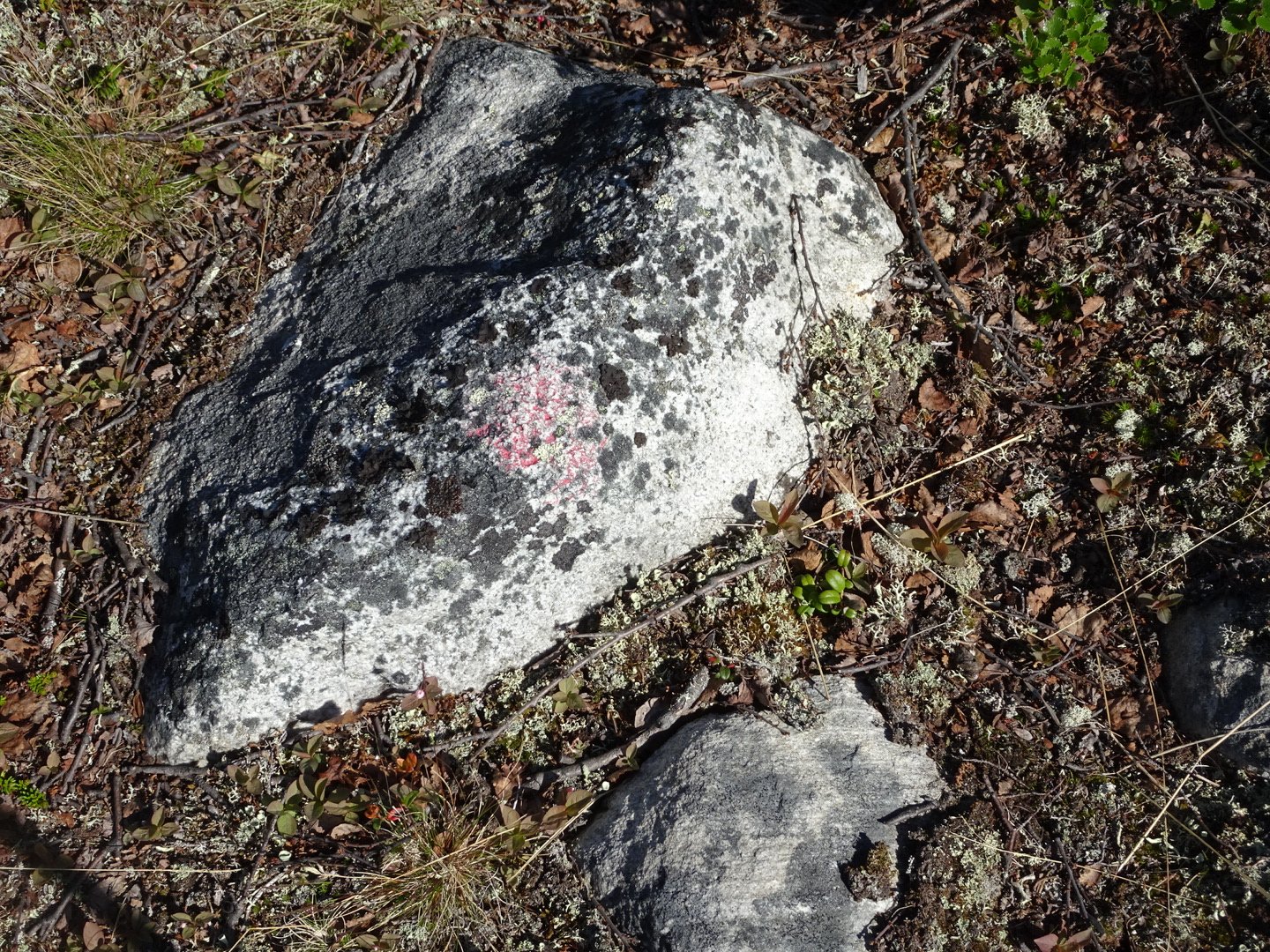
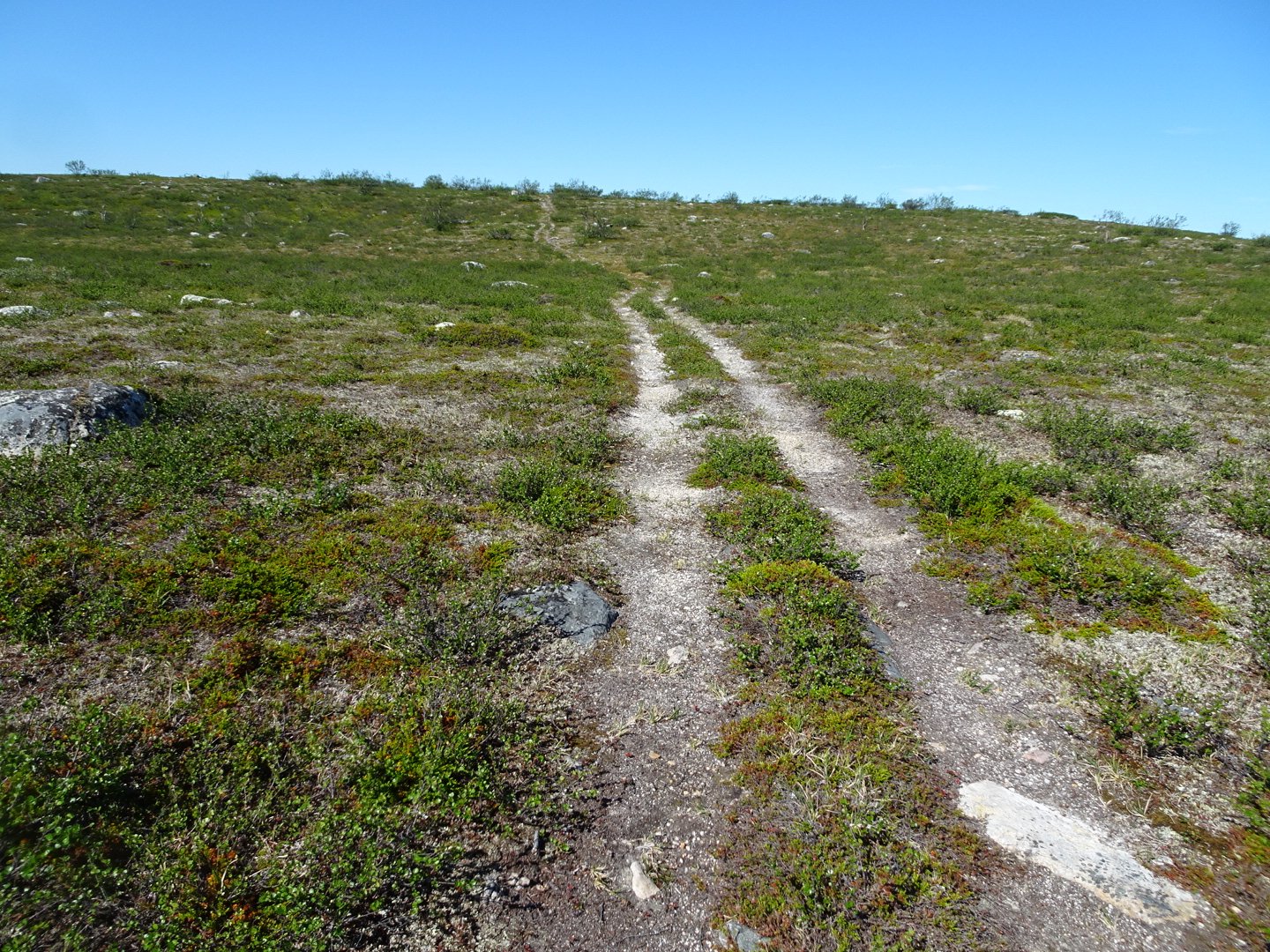
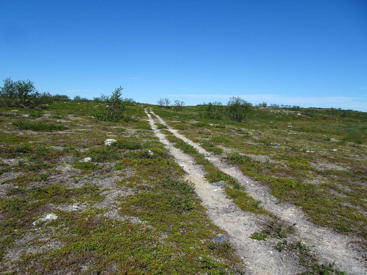
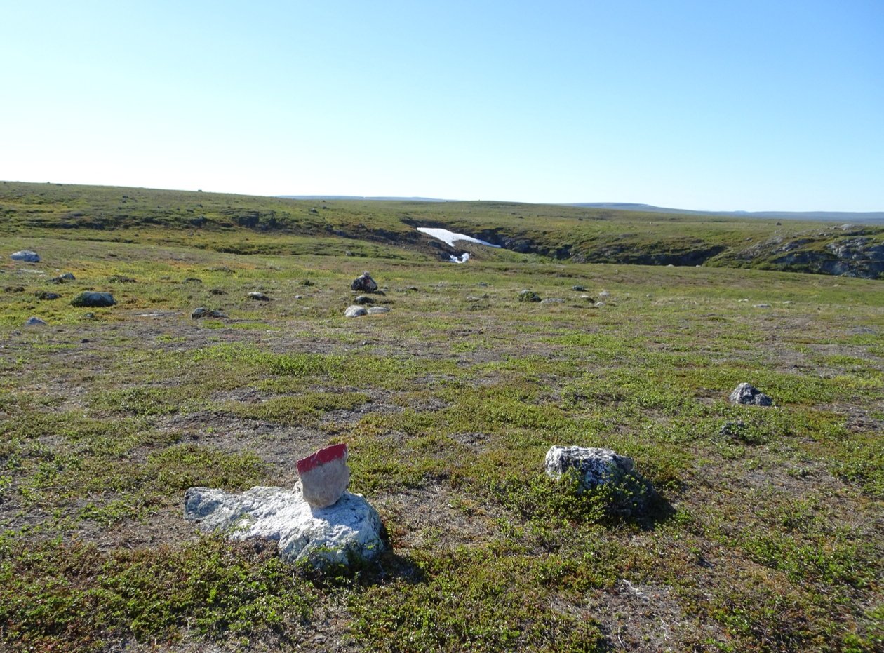
Despite how much I was enjoying myself it was not quick walking. I was having trouble estimating the distance and was a little concerned as there was an intersection ahead where I had to turn right. As the trail marking was so faded I was not sure if the intersection would be clear or not. At one stage the track joined a Ski Mobile track which I knew as there was a sign with a Skimobile. This went through a really swampy area which I guess is nice and flat when there is snow covering the ground but is not much fun when you are walking. Thankfully I spotted the very discrete faded red paint marker on the side of the road and noticed a slight track. I explored up the track and saw another marker so knew this was the track and it was back to single track again. For the final few km before the intersection the trail got wider like an old quad bike track and then just before the intersection it was a proper 4wd track.
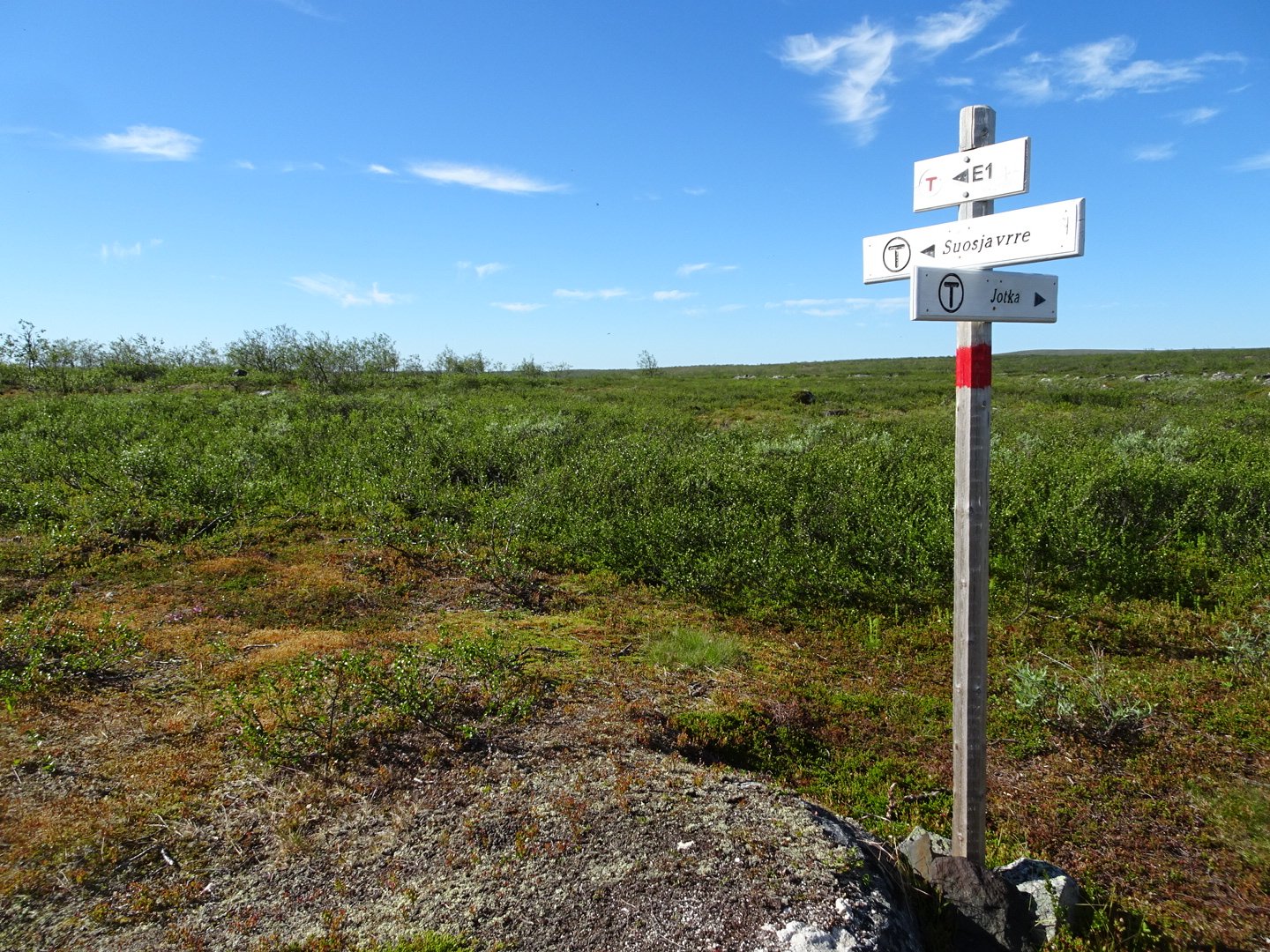
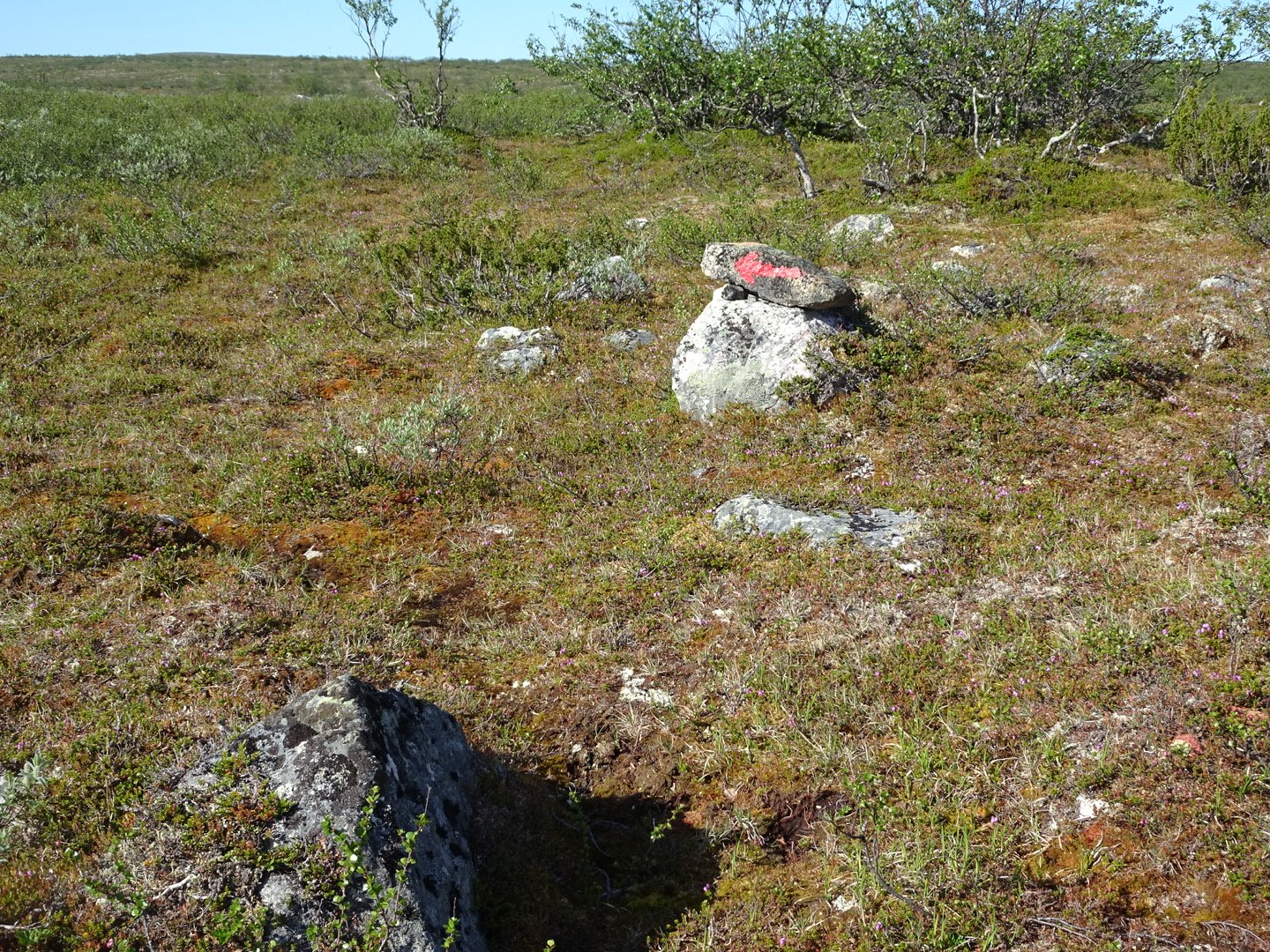
I had concerns about the intersection were unwarranted as it was a very clear intersection of tracks and there was even paint on rocks in both directions with “E1” and an arrow.
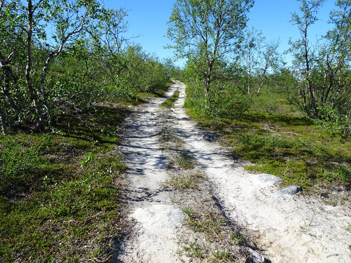
From here it was walking on a 4WD track which climbed steadily up until clear of the trees. It was really hot so I put my umbrella up for some shade while walking. There was a very gentle breeze but not enough to upset the umbrella. I was able to take my hat of end enjoy some breeze on my head. The track started descending and there was an intersection with another track not marked on the map but the direction was clear, to keep heading down hill. I descended back into the trees but they were too far apart to provide any shade so I kept the umbrella up. I quickly reached the intersection with the track that was marked on the map an knew it was only another 1.5 km to the next intersection where I would change direction right.
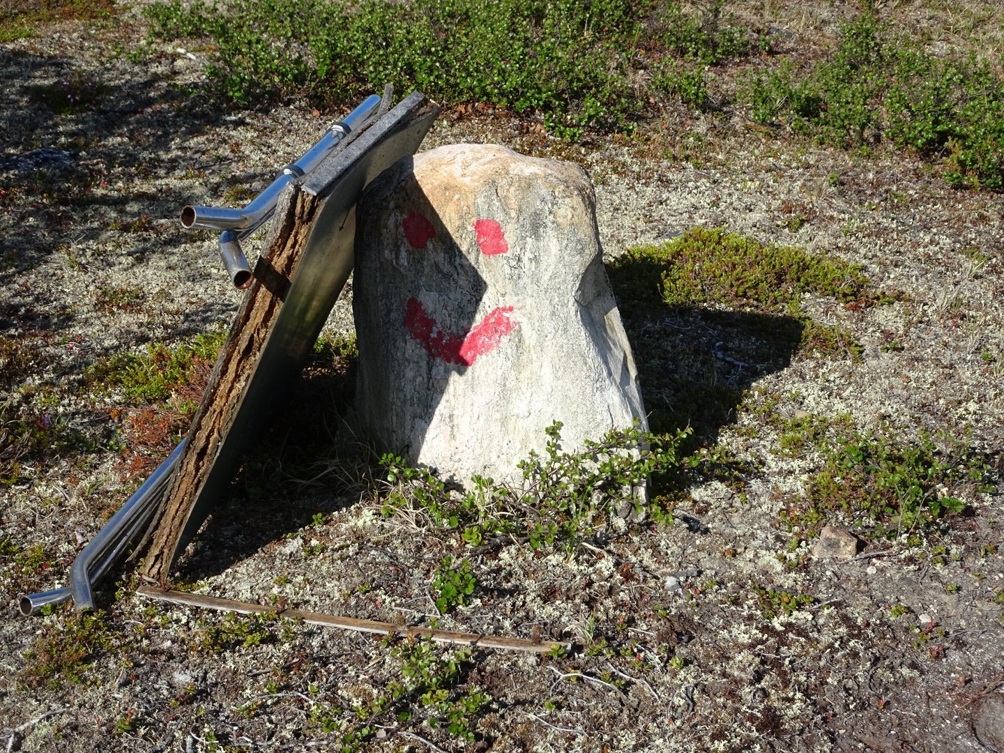
As I had been coming down the hill I had noticed a lot of buildings but could not see them on the map. It seems that many buildings are not marked on the map of maybe they are marked so small I cannot see them. I was now walking up to them. I saw a track going to the right that looked like the driveway for the house and kept walking. After a few hundred meters I thought the intersection should be coming up but it seemed to take ages. I then decided to have another look at my map and started to wonder if I had missed the turnoff. I turned on my phone and opened the app “ViewRanger” and got a GPS fix on my location – 1 km past the track turnoff which was at the building that was marked on the view ranger map. So I turned around and went back to the buildings. I turned down what I had thought was a driveway and 10 meters down the driveway was a stone with a red “T” hidden behind a bush – grrrr.
I should have turned right here
My next dilemma was where to go. I walked into the middle of the buildings and looked around for the next marker but couldn’t see either a marker or a track. There was a track to the right leading to a house which I followed and it dead ended at the house. Between that house and the other cluster of buildings was a large grass area that sloped down so I followed that down and it veered to the left and there was the track. I should have gone between the buildings past them to the wind turbine and then the track dropped down.
I was on the track but there were no markers so I wasn’t sure if it was the right track. Several hundred meters later there was a red dot on a rock so I now had confirmation I was on the right track. The track crossed a swamp and veered to the left and then there was an intersection. There were no markings but right seemed to match the map and a little further down was the red dot. There needs to be better marking at intersections to reduce the uncertainty.
After a short steep up an down the trail followed the river and I had lunch here. I had a longer than normal lunch just staring at the river, swatting insects away. There were mosquitos but the only place the mosquitos seem to bite is the back of my shoulders and behind my ears.
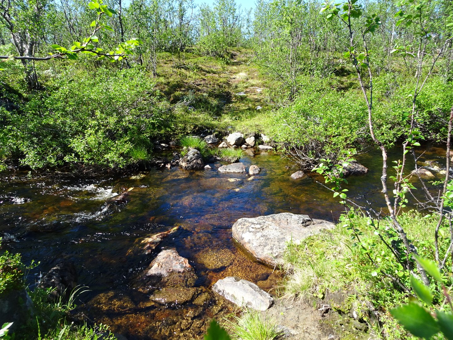
I continued beside the river for a short while then crossed over. It was wide but pretty shallow. The main hazard like most of the rivers is that the rocks are slippery with algae. This algae is why I am filtering my water. The lady at Bojobaeskihymtta Hut said the water was fine to drinking unless there was an unusual amount of lemmings (a rodent) around which there were not this year, however I don’t like the algae.
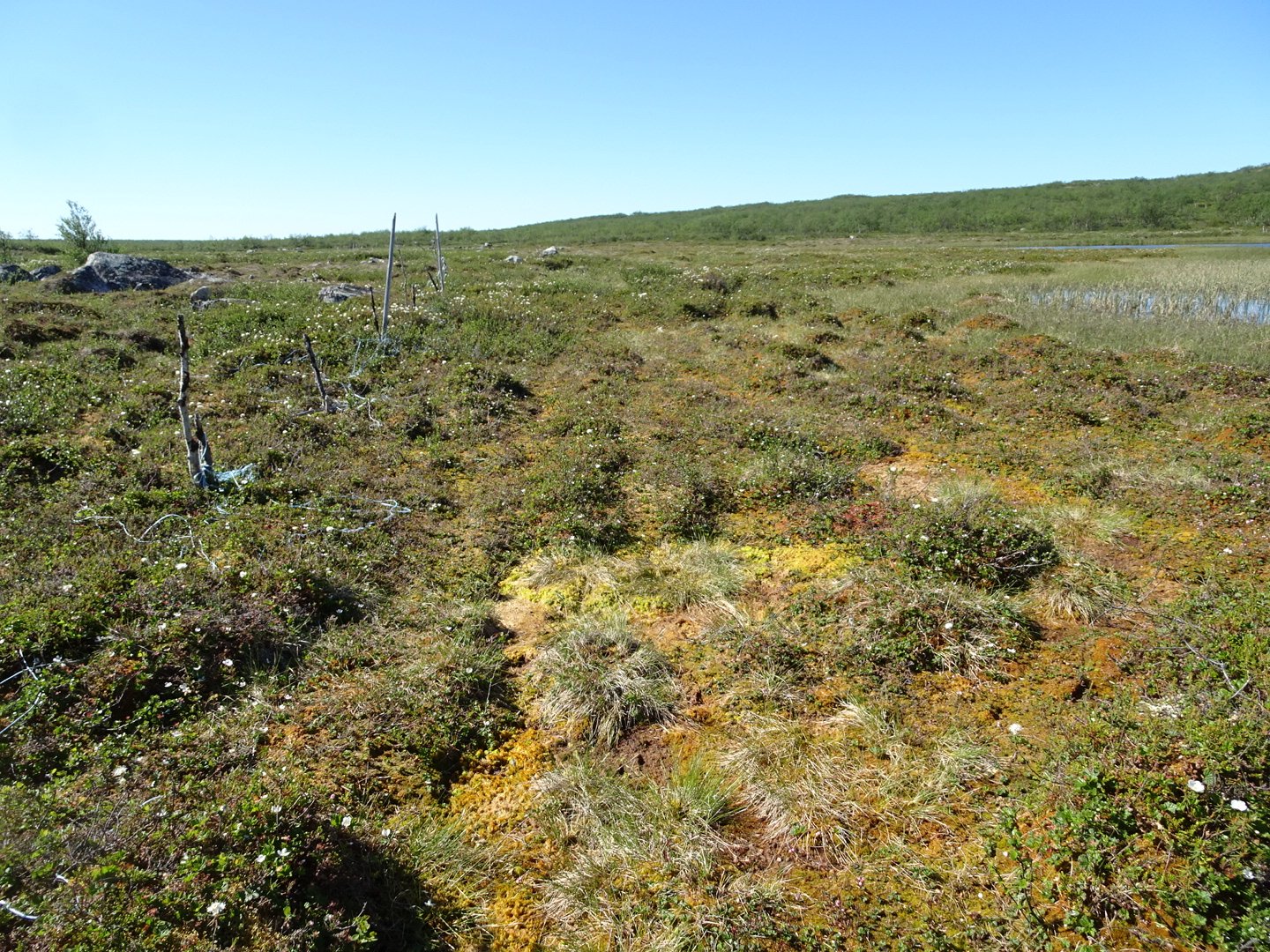
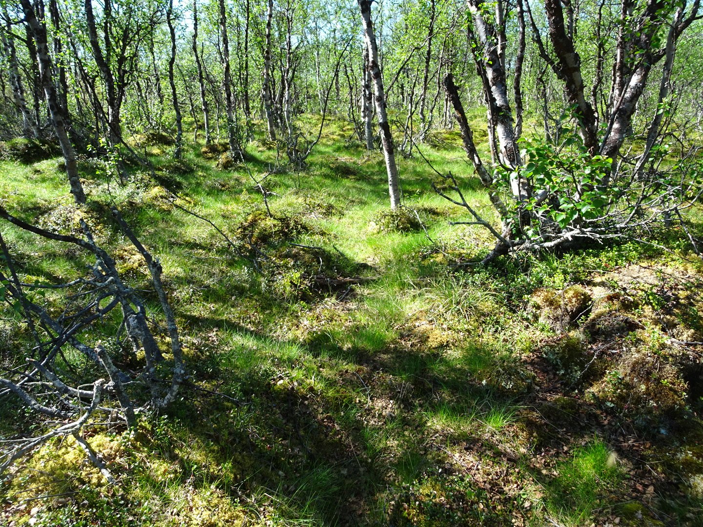
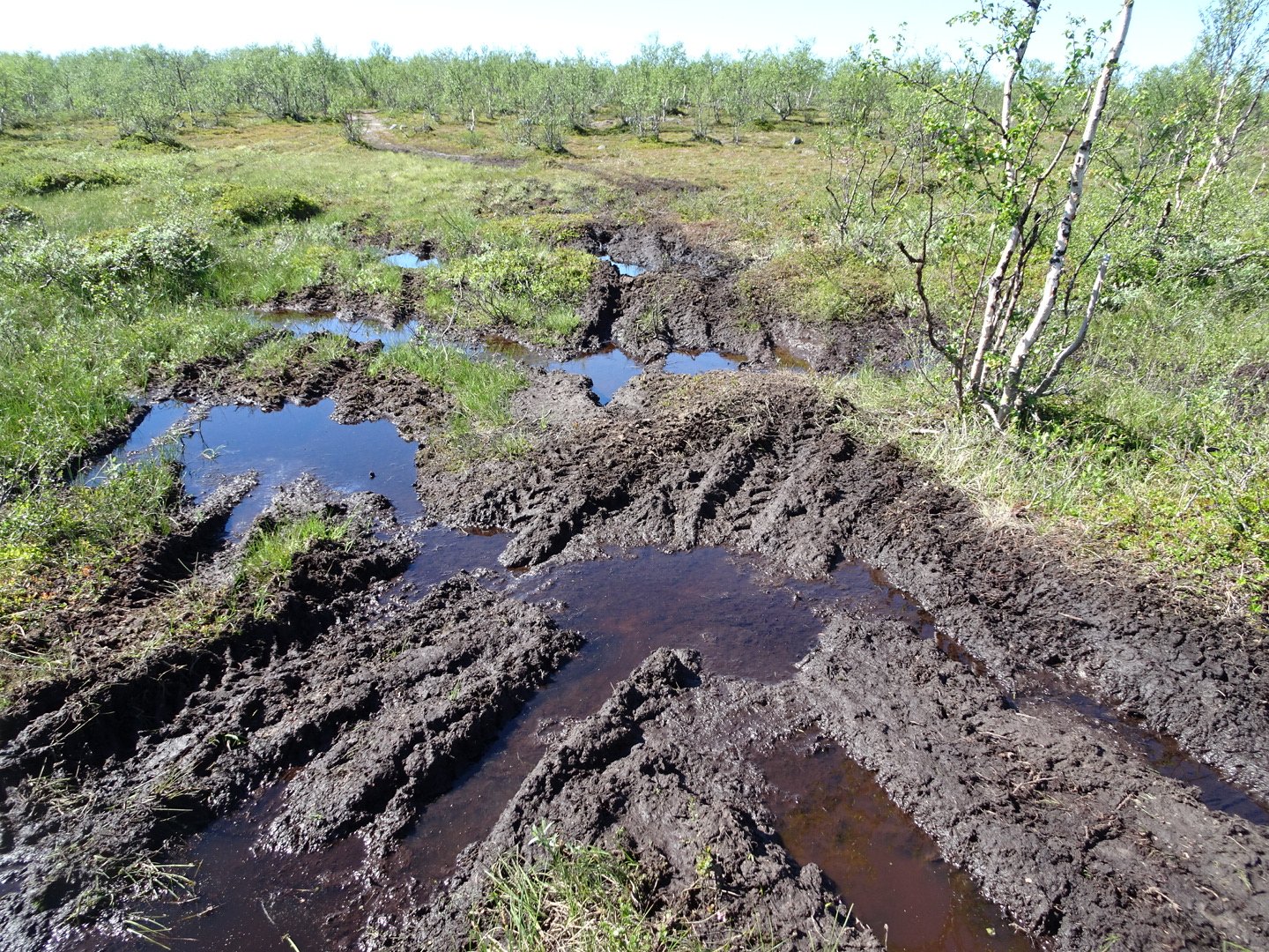
Now there was 5km of climbing. The track started climbing and crossed several swamps. At these several different options were available and I would choose the driest. I noticed some new boot prints, one big and one small joining the pair I had been following for the last week. The track was in good condition and I was making good time thinking the climb was going easier than I expected. I was zoned out with the heat.
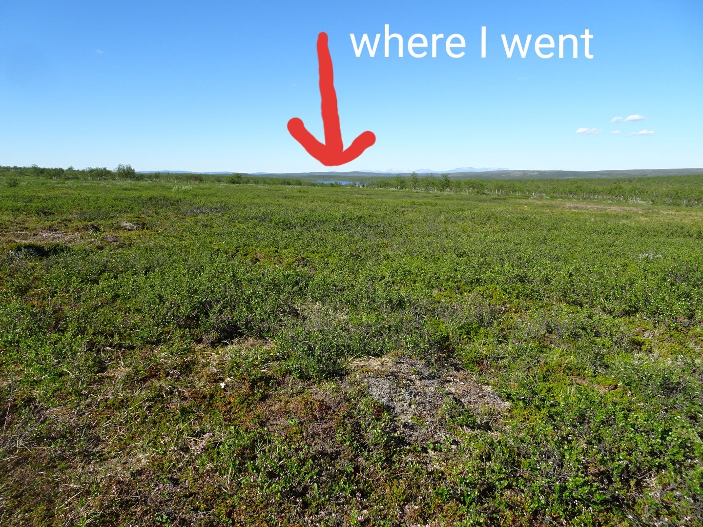
I looked to my left and saw a lake thinking to myself “That is a pretty lake”. I kept walking another minute before thinking “There was no big lake on my route”. I stopped and looked at the map and realised I was near the Lake labelled 399 well to the north of where I should be. Bushbashing across to where I should be in this scrubby vegetation would not be easy so I had to backtrack to an intersection I remember disregarding and then even further to the intersection that would bring me onto the correct track. This was a 4.5km mistake and I was not happy with myself. I need to pay more attention to intersections and get a compass out if I was not sure. I think I was drifting off as the heat was making me lethargic, combined with the intersections not being well marked.
I was pretty quick to get back to the track I was meant to be on and the climb started.
The track climbed above the vegetation and just after a stream crossing cairns led off the track for a straight up steep climb and then over the ridge to descend by a lake. Then there was another straight up steep climb followed by a descent to a lake and then rejoined the vehicle track where the trail stayed the rest of the day.
T
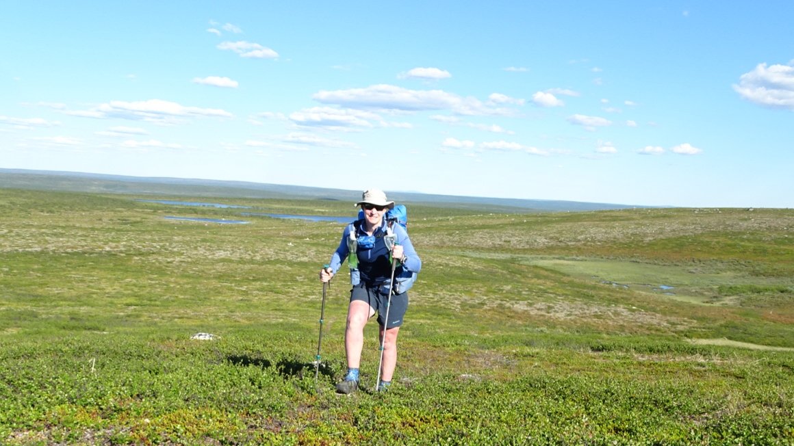
here were a few more ups and downs and on one higher part I made the marker to celebrate 300km.
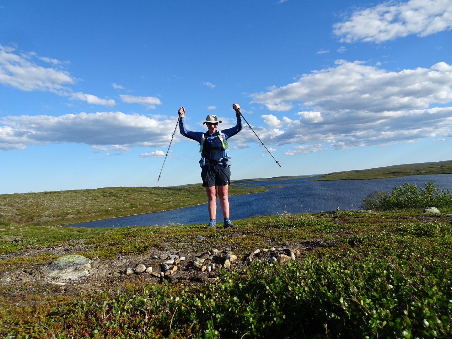
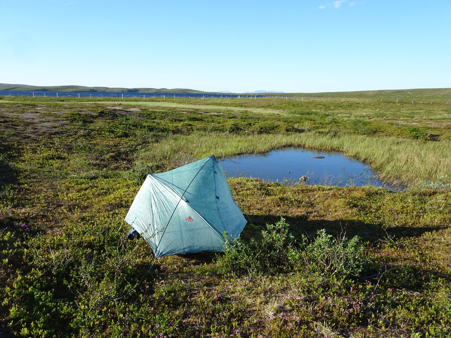
I continued down the hill to Silesjavri Lake where I had seen a river marked on the map.
I wanted a good wash before camping. It was a little windy but I found a spot in a slight depression next to a little pond. I set up my tent then went back to the river to filter my water and wash myself of all the sweat and grime from a hard day. I also washed my socks as they were muddy from the swamps and dusty from the roads. Unfortunately I sat in a wet spot so my shorts were wet. Back at the tent I laid my shorts in front of the tent to dry. I boiled water for my meal and got my meal ready when i saw there was a hole in the zip lock bag. I scrambled around transferring things to find another bag. I then transferred the meal to the new bag and then spilled my hot water that was sitting on the stove all over my shorts. So next cup of water on the stove. When that was ready I poured it into my zip lock bag only to discover that one also had a hole. I tipped it on its side and put it in the warmer bag before getting the next cup of water cooking and setting up inside my tent. When My meal was ready I ate outside the doorway as it was spilling. I then moved everything inside the tent as some insects were starting to come and then I spilt my drink, thankfully just a little but I had to mop that up.
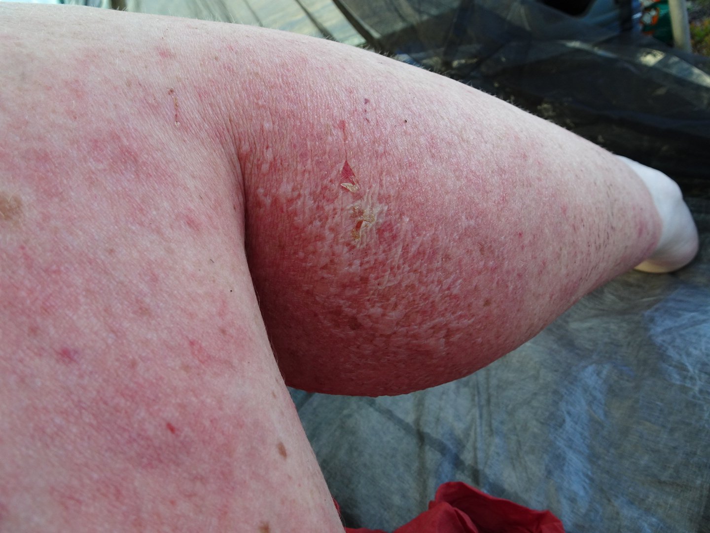
Then looking at my feet I realised I had a flap of skin come off on my right instep. I didn’t even feel that. I also had my first blister on the bottom of my foot between my big and second toe. I had felt that starting to hurt a little but not thinking it was a blister. Also the nail that I bruised on day one because of not cutting my nail short enough now looks infected. I am not sure how as the skin never broke to let an infecting in. It is red and inflamed though it doesn’t hurt.
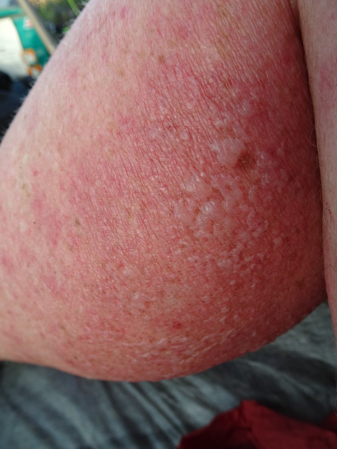
Blistering on my calf
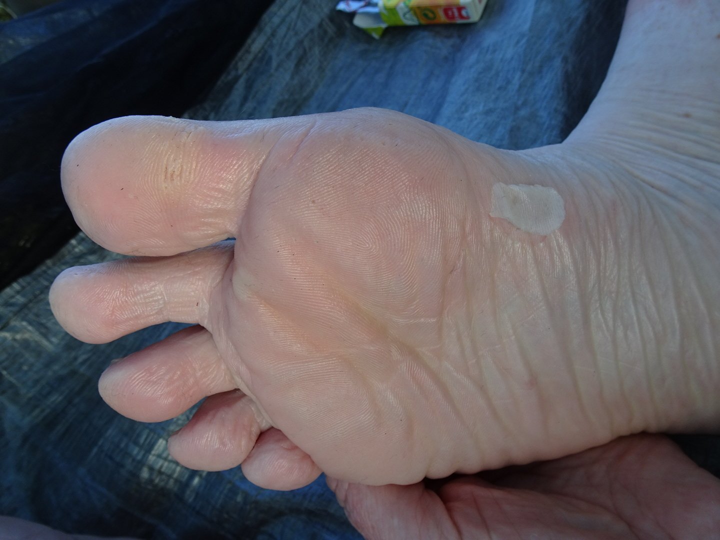
Flap on skin on my instep
So a series of bad things to top off a strange day. Tomorrow I pass through a town and if I leave early in the morning I may be able to get a hot meal. That is my motivation for tomorrow.
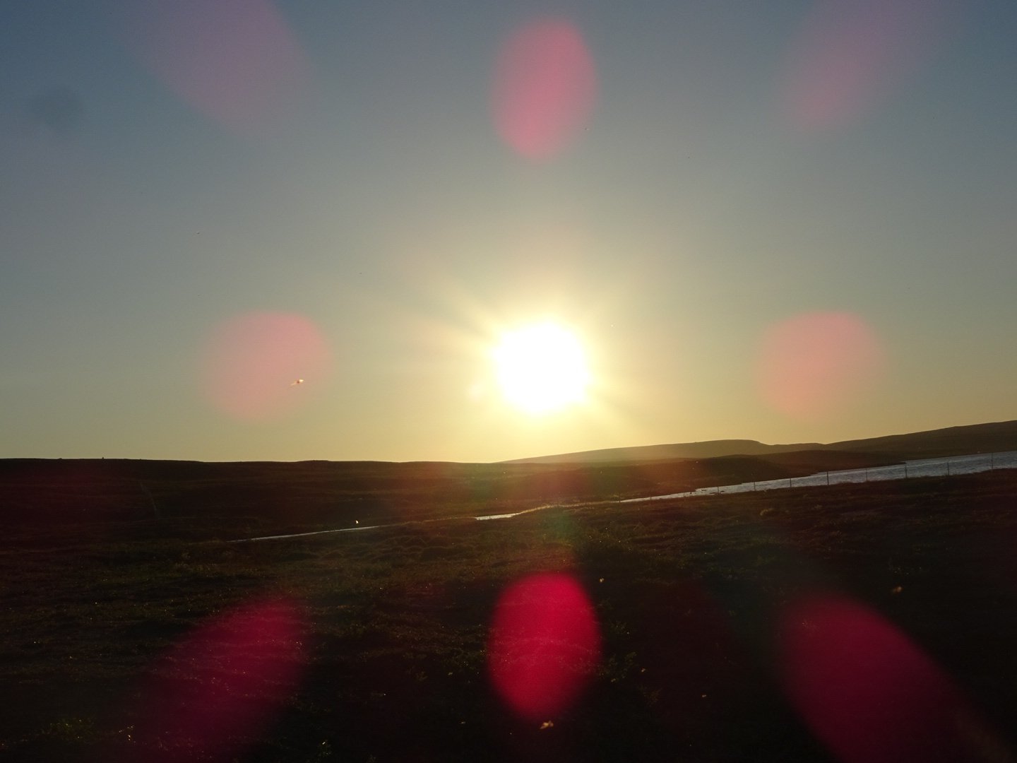
Midnight sun
Views: 300