
Day 14 – 3 Jul, Lake Silesjavri to Lake Radjejavri
(31.5 km, total 333 km, 9h , 0710 to 1600)
Video:Video Day 14
I woke up early as the sun was streaming in my tent door, and I was motivated by the thought of a big meal in the town of Mazi. I was quickly packed up and on my way.
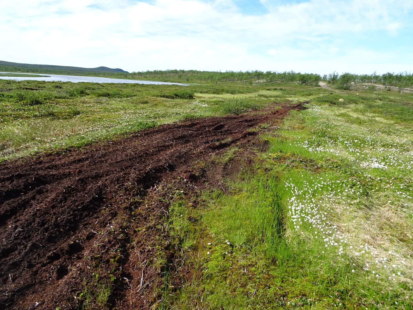
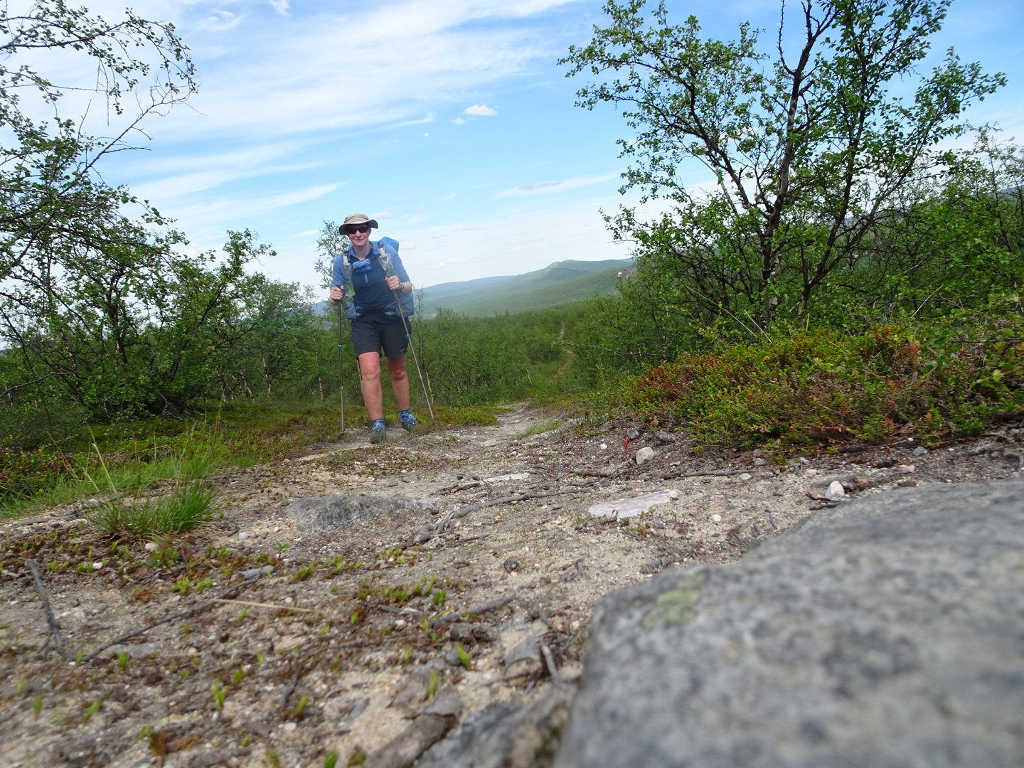
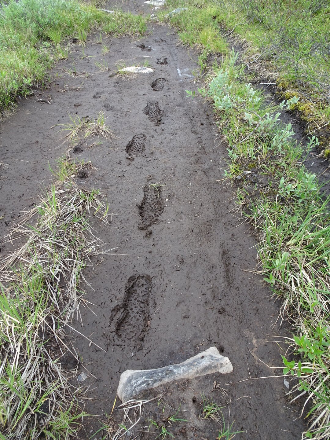
It was another scorcher of a day, blue sky and beating sun. The trail continued on the vehicle track undulating up and down from swamp to swamp with lakes either side of the track. The swamps seem to be clearing as I was able to walk over the mud in most places or there were dry bits to jump too. I was feeling good and making good time.
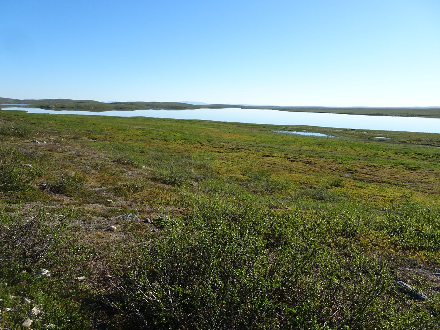
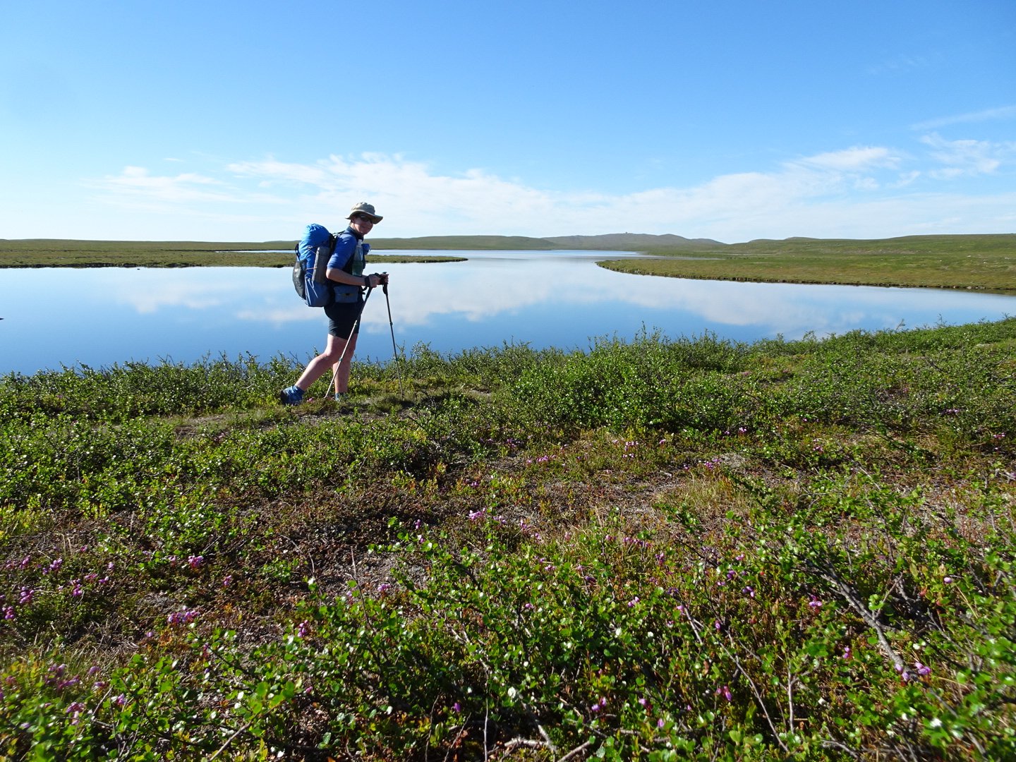
As I walk my mind drifts from thought to thought, occasionally getting stuck on one for a while. One of these was thinking about the amount of lakes in Norway. If there was a worldwide water shortage Norway would be a good place to come. The other was about navigating from lake to lake. I was imagining giving directions some thing like “After the 10th lake on your left turn left, continue straight past three lakes on the left and then turn right, your destination is the fourth lake on the right”.
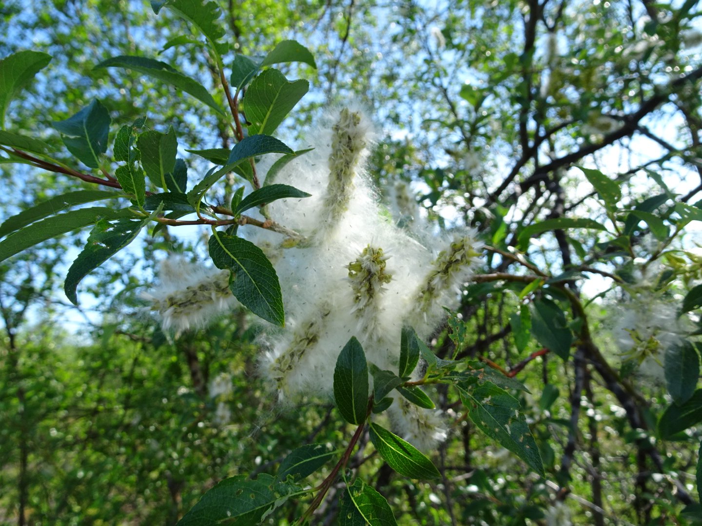
The trail started descending down and into the vegetation zone. Near the bottom of the descent I felt a pain on the inside front my right shin. This is not the normal place I have had shin pains in the past and it was a sharp pain which I was starting to think of all the things it could be. I started having visions of it being a stress fracture and having to take weeks off, funny the way my mind immediately went to worst case. I slowed right down and took care to walk extra softly.
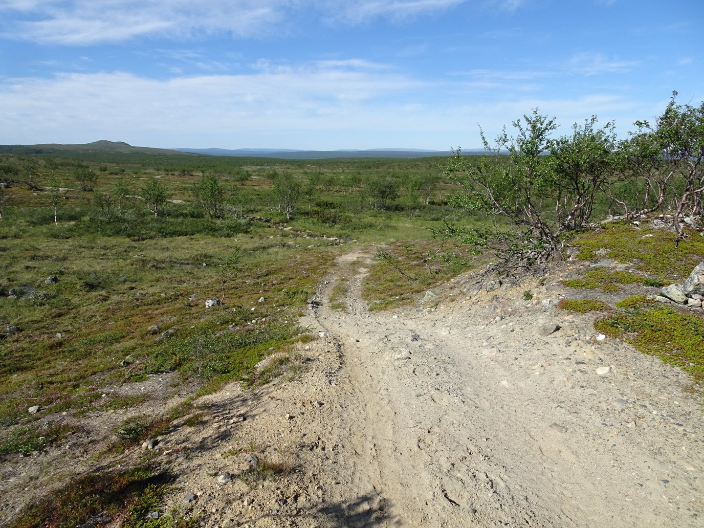
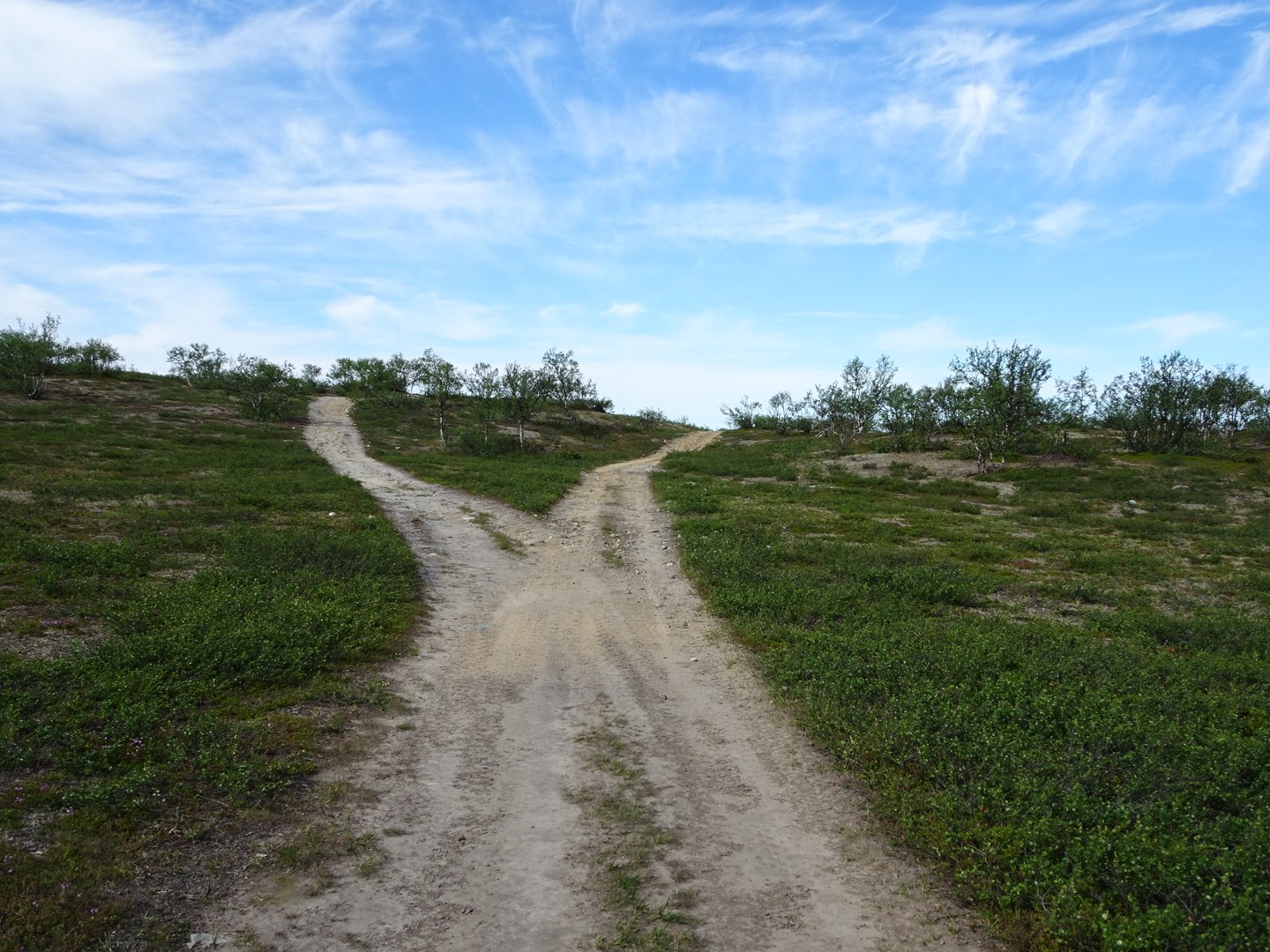
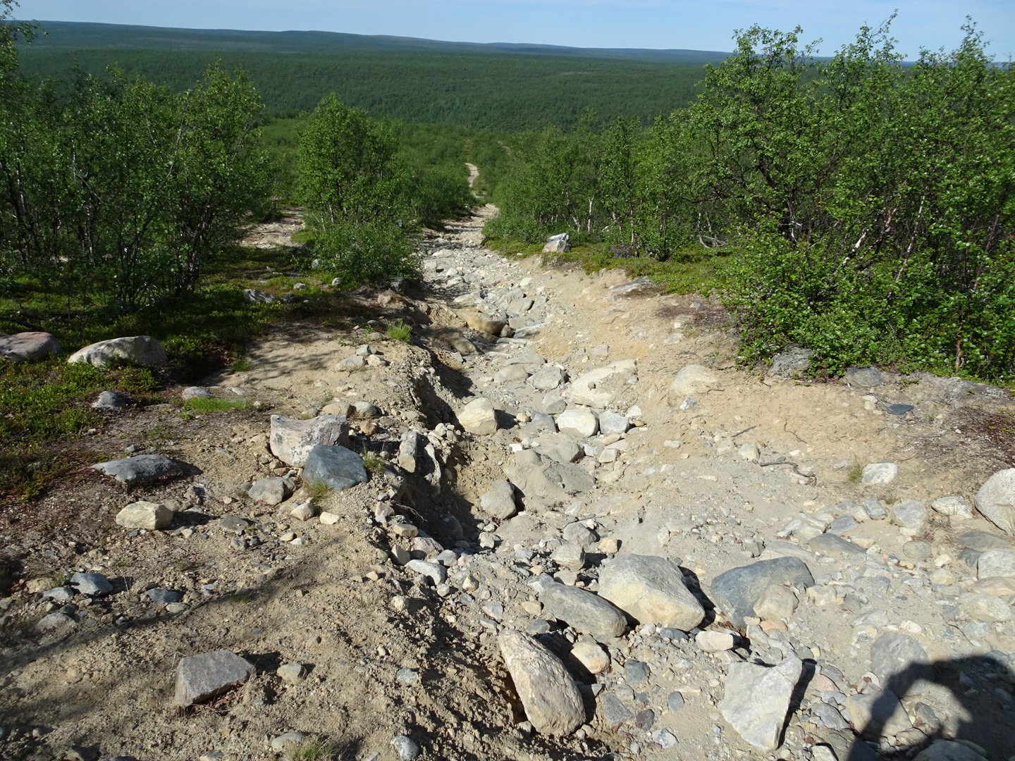
Now it was across a flat area between two lakes then trail climbed slightly and then there was a big descent down rocky tracks through the trees
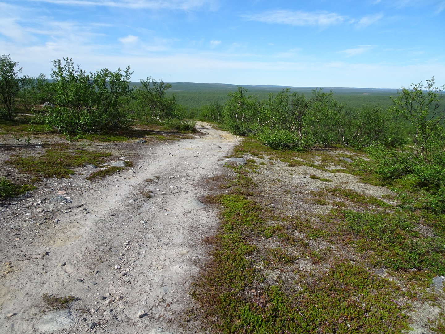
There were a maze of tracks and some of the tracks were marked with red dots on rocks, while others weren’t for ages. I figured as long as I was going down I should be right. If I fell into the river the I had gone too far.
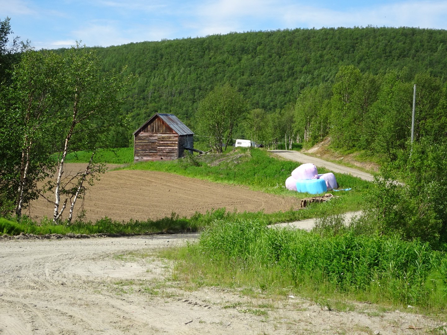
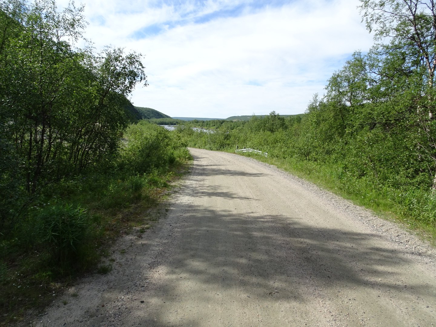
The descent seemed to take ages and at the bottom turned left onto a smooth ravel road that went beside the river.
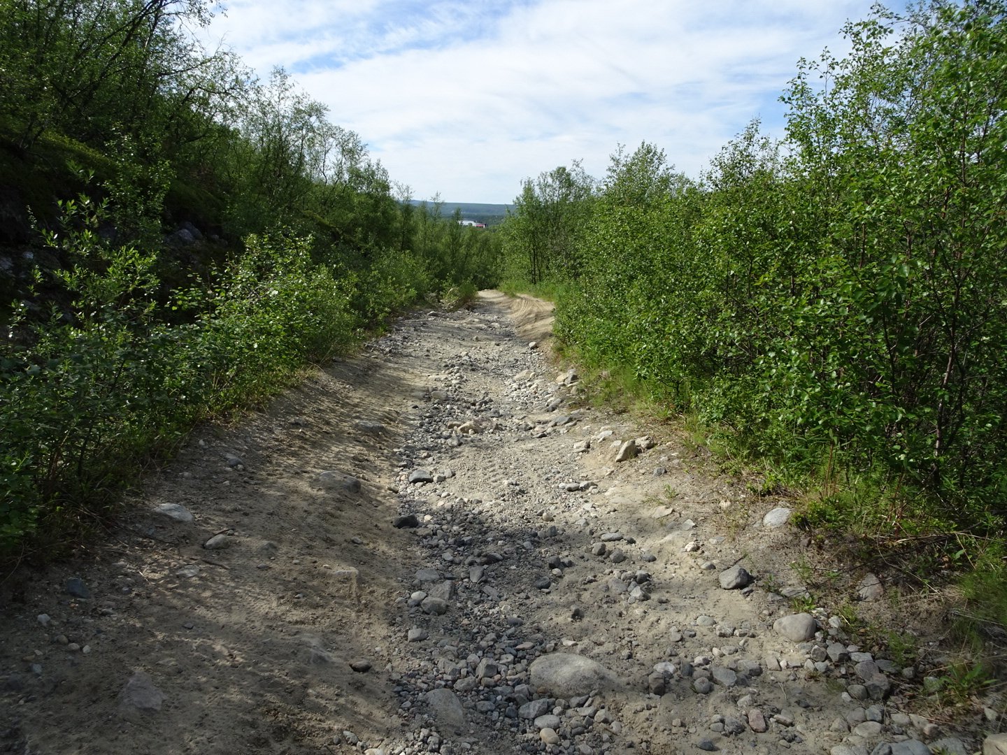
There was a farm close to the turnoff then it was quite pretty with the river on one side and rocky cliffs on the other. The best thing about the cliffs is that the road was in complete shade which was a relief from the heat.
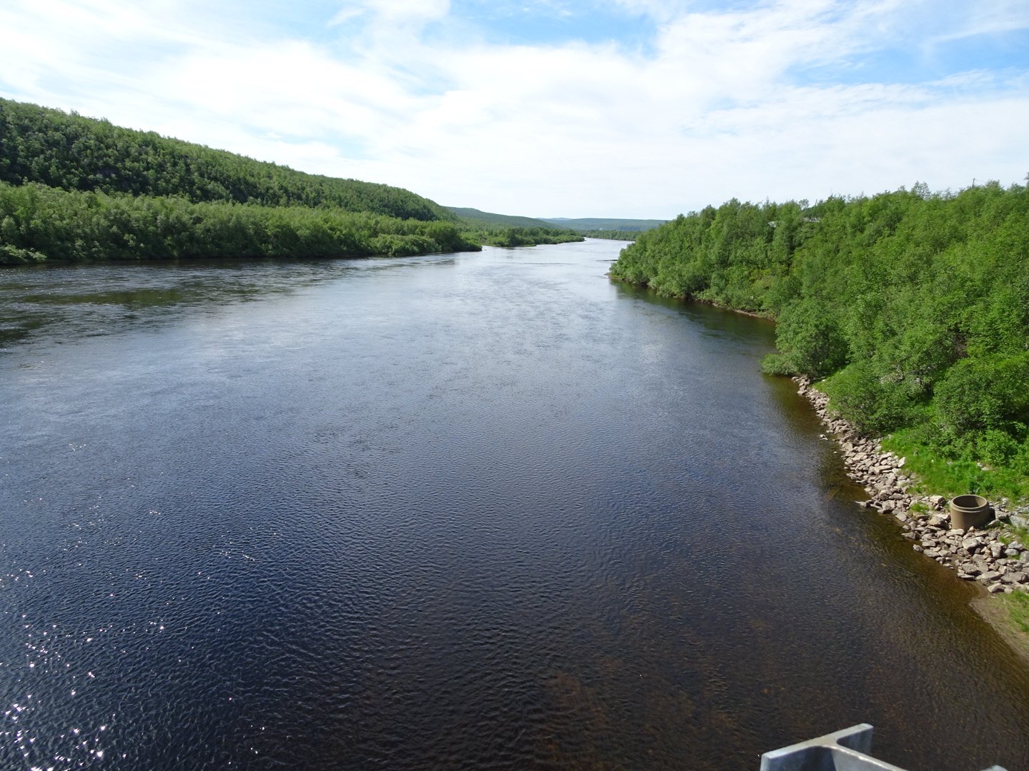
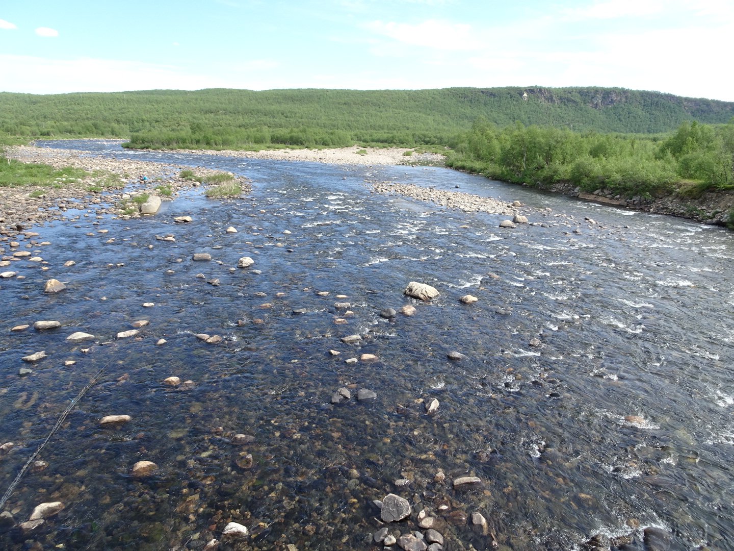
The pain in my shin had disappeared thankfully. The only vehicle on the road was a quad bike with two teenage girls. I started passing houses and then crossed a bridge over a wide and scenic river.
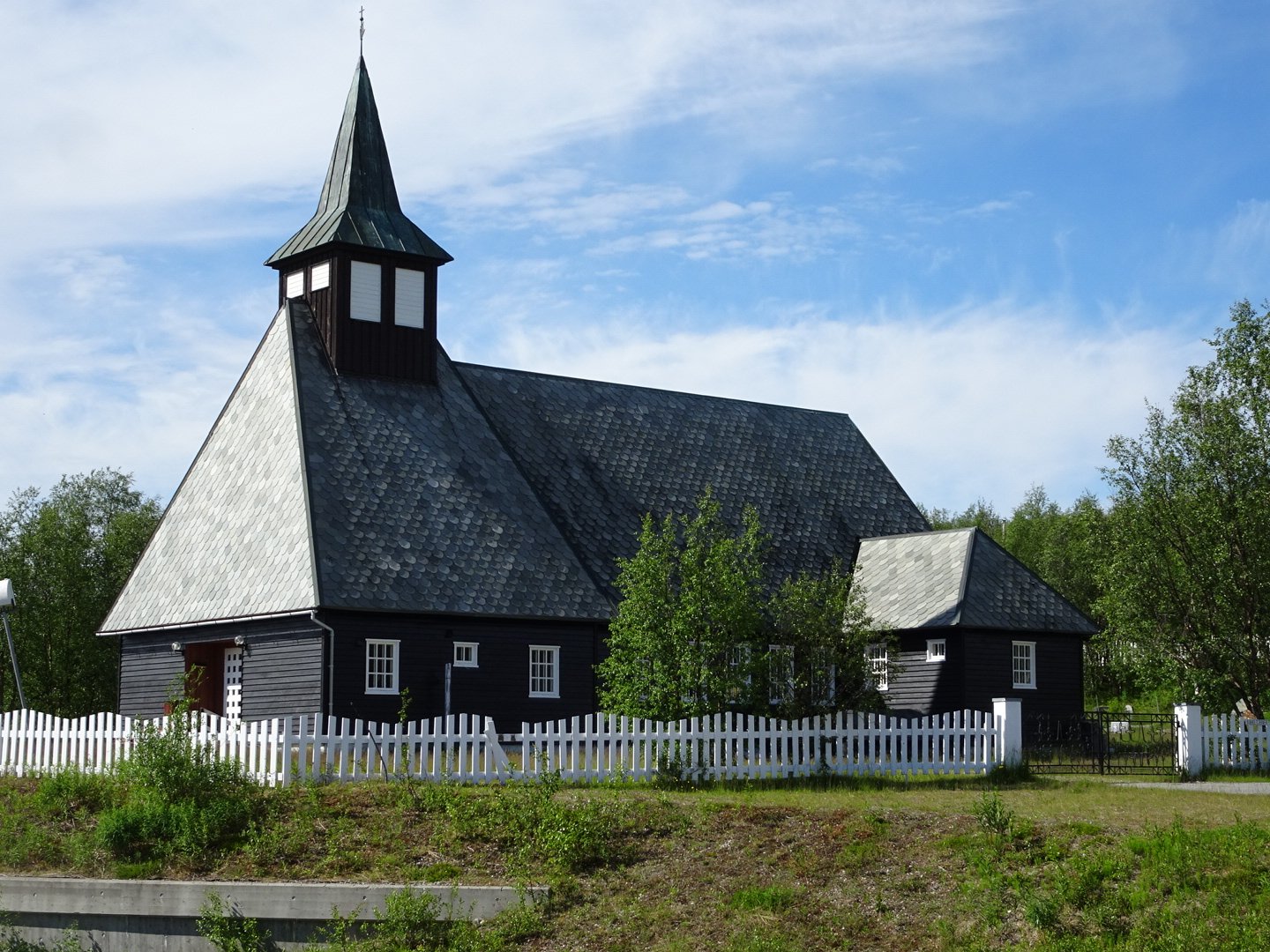
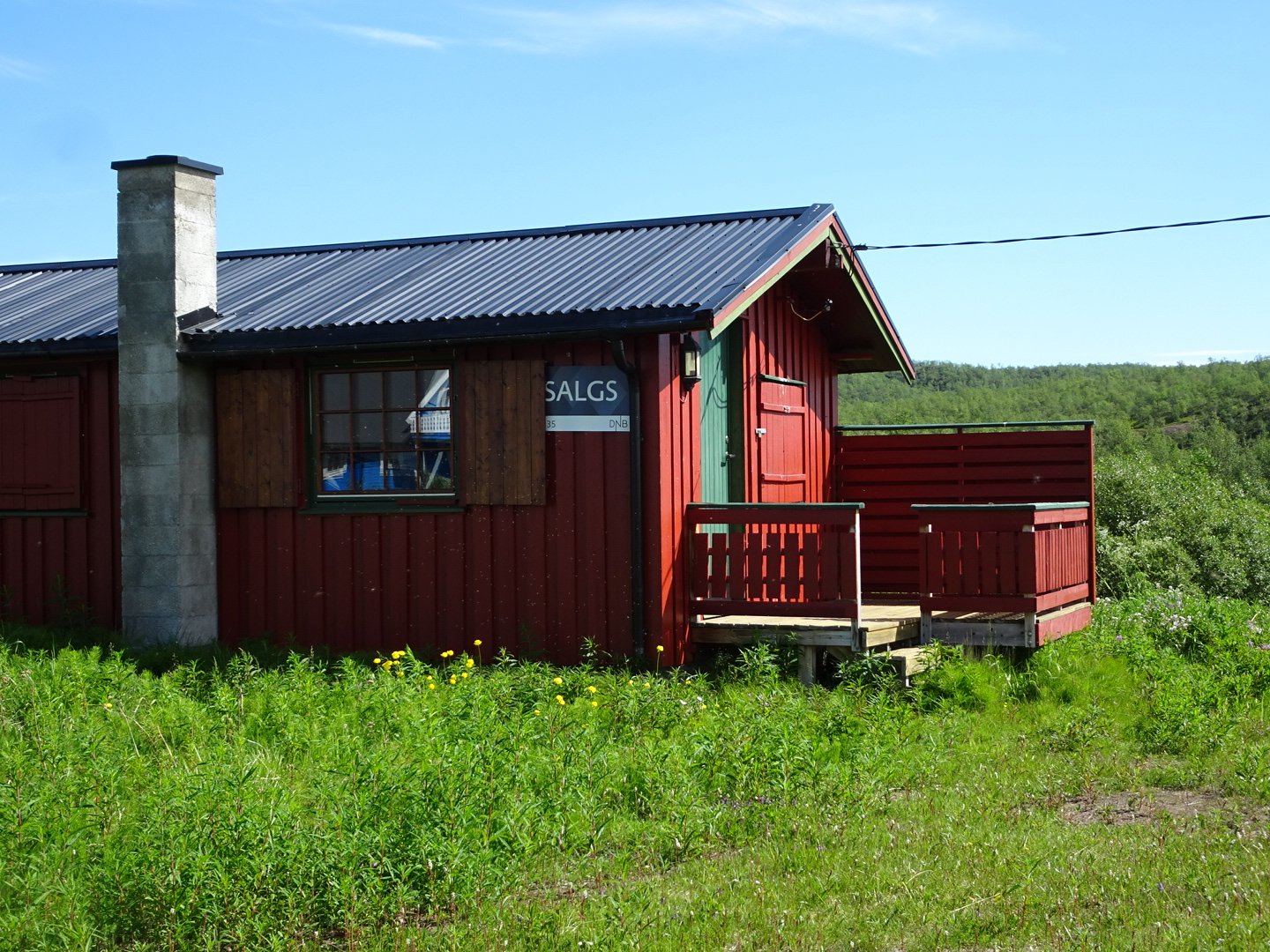
Once over the river I was in Vuolle-Maze. Maze is in two halves separated by 2km of roads. I passed through, waving at two ladies sitting on their veranda, they just stared at me. I was quickly on the main road between the towns and started walking, back into the countryside for 700m before coming to the commercial centre of town with a church, fuel station and supermarket/Post Office/cafe. The cafe wasn’t open yet but I grabbed a coke and ice-cream to eat immediately and some pastries for tomorrow’s lunch and some sunscreen as I have nearly used up my first tube. For some reason the coke was not very satisfying ad the ice cream was a bit bland. Well it was a nice rest and used up some time because my main target the Turist Senter didn’t open until 1200. I left the supermarket at 1130 and walked on the road to Badje-Maze. It was really hot on that road with the only shade being a strip 20cm wide on the ground from the barrier rail, so my feet got shade.
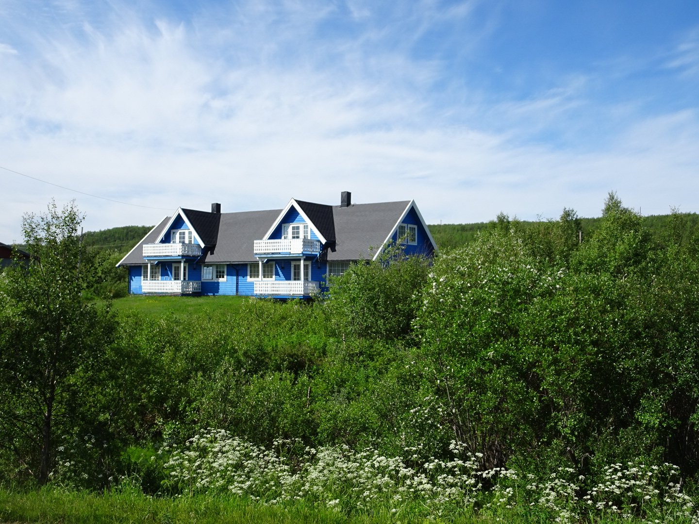
Badje-Maze was just a few houses and a cute bank. Most of the houses are deep red or brown but one house on the road was a blue which really stood out. I wonder what the neighbours said then that got painted.
I finally made it to the main road and looked around as I thought the Turist Senter was on the corner. Then I spotted a sign saying it was 400m – uphill. I plodded that hill with even more sweat adding to the white crust that had formed on my pack straps and clothing. Finally I arrived at 1210.
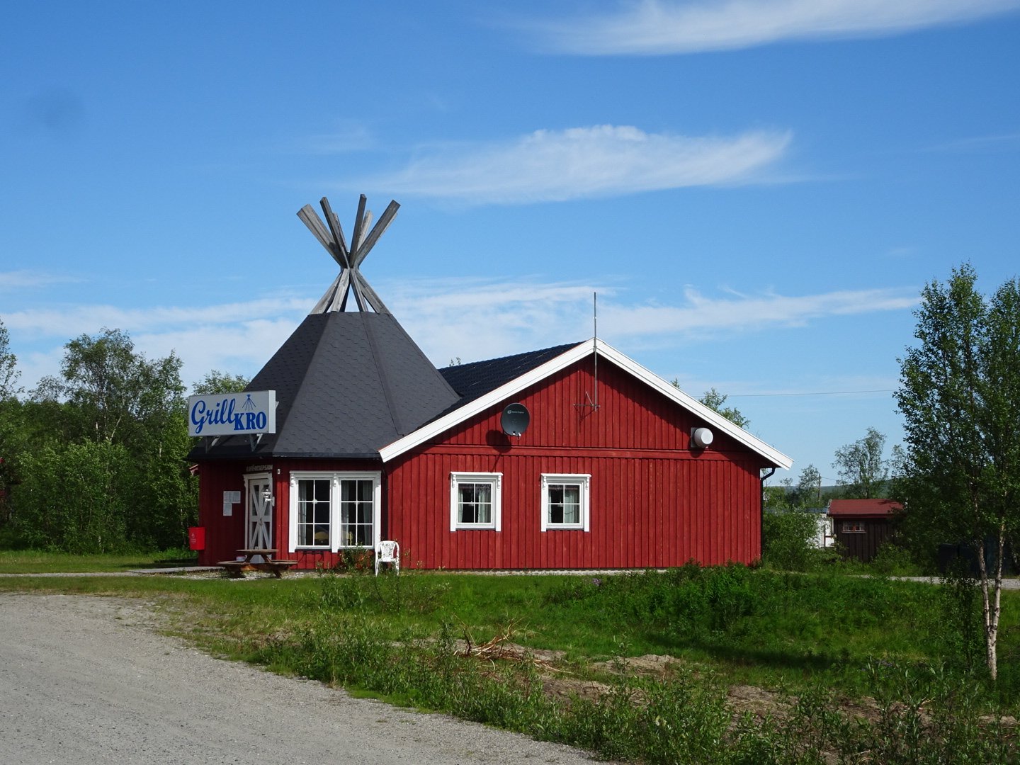
Maze TuristSentre Cafe
The first thing on the menu was a hamburger with 200g paddy so I went with that and a Fanta. I plugged my phone in to charge. When asking if I could charge my phone I realised the salesman did not speak English. How funny that everyone I have met, including and old Sami Hearder, spoke English but the first person who cannot works in a TouristSentre.
There was one other customer there and we got talking, though I sat some distance away so he did not have to suffer what imagine is a strong smell coming off me after 7 days with no shower. He had been at the Norwegian Naval Academy, and had spent a long time in the Merchant Navy travelling the world and had been to some interesting places. He was also interested in what I was doing. The burger was not quite as gourmet as the one I had in Olderfjord but it was still good and I finished off all the fries too. The hamburger and Fanta cost 203 Kr which is nearly 40 NZD. The burger was about the standard you get in a NZ fish and chip shop for 5 NZD. I knew Norway was expensive but it still takes some getting used to. However it is not often I am actually in a town so it is worth it.
After finishing the burger I cleared all the rubbish out of my pack into the bin to lighten it and was back on the road, slowly due too my stuffed stomach.
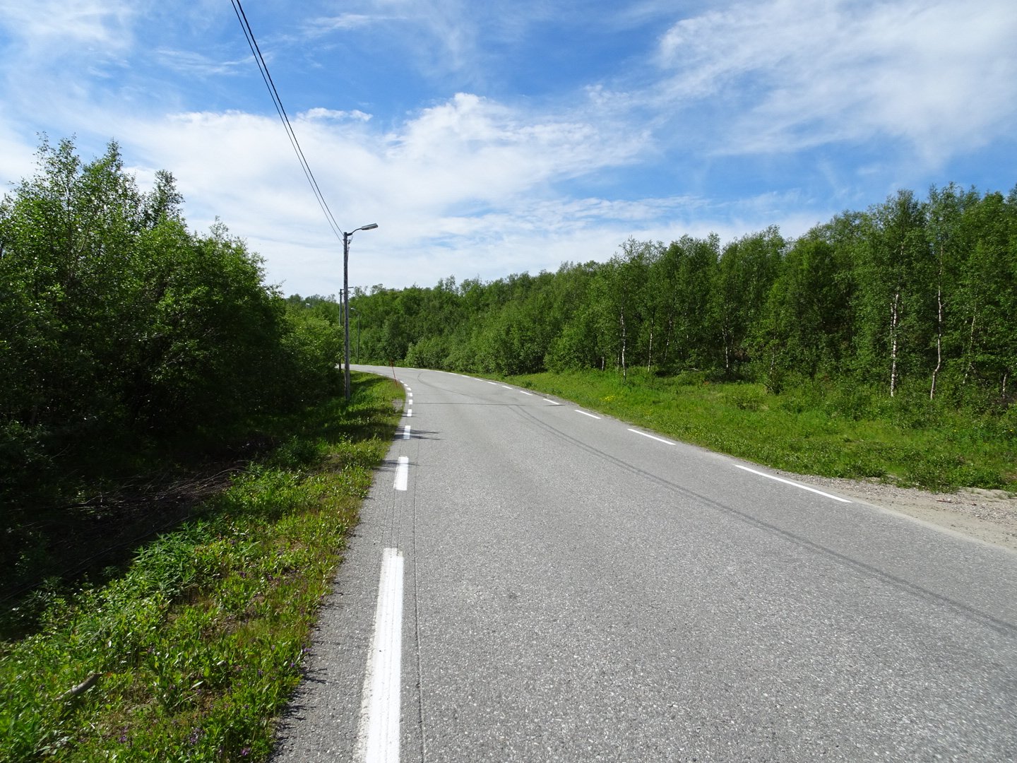
I walked back the 400m and then continued on this main road for 1.5km. It crossed a beautiful river and also went beside a lake.
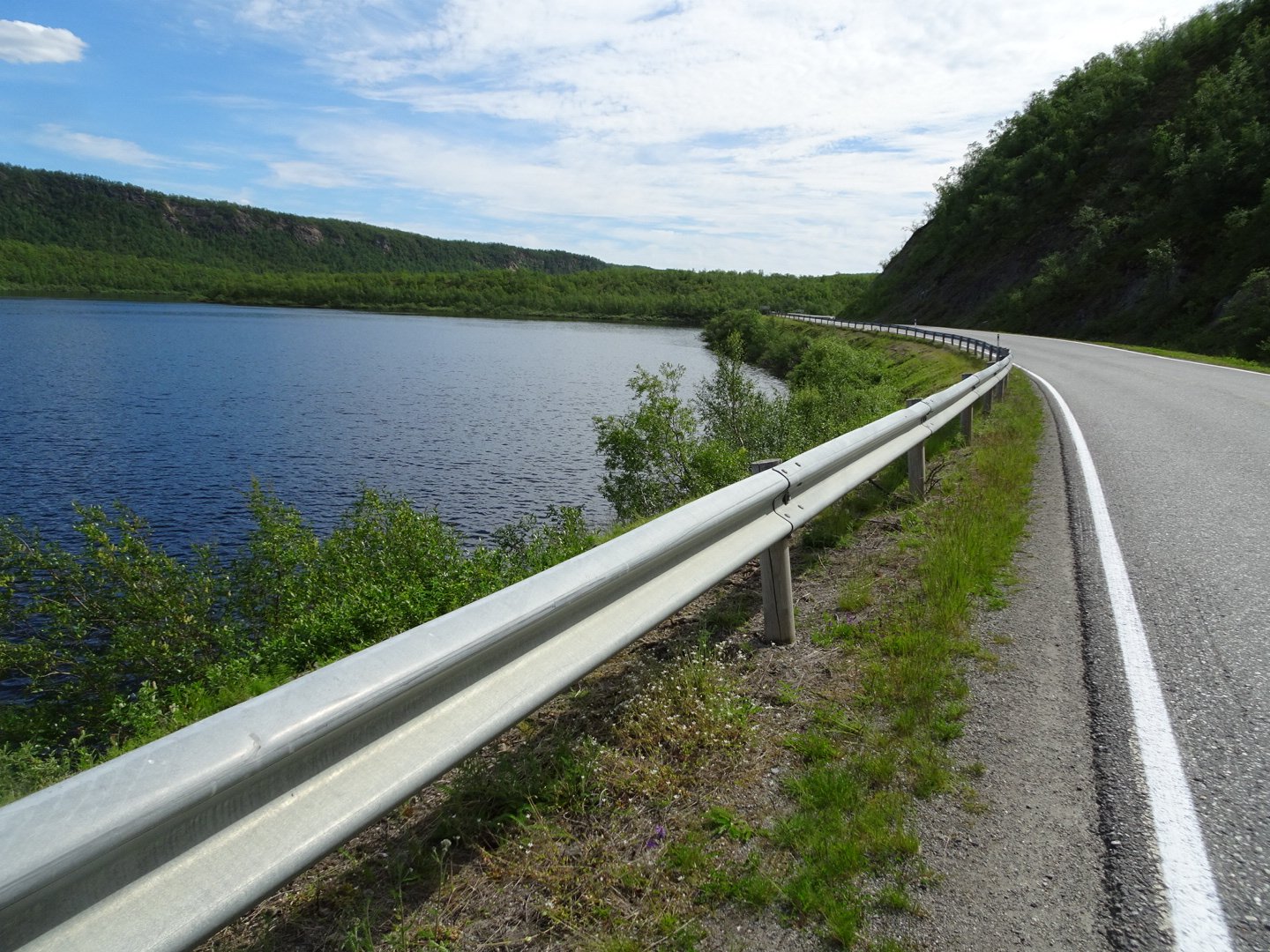
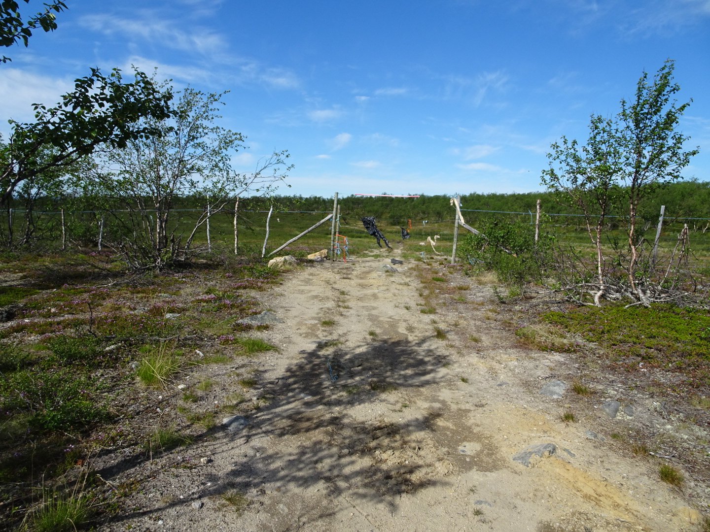
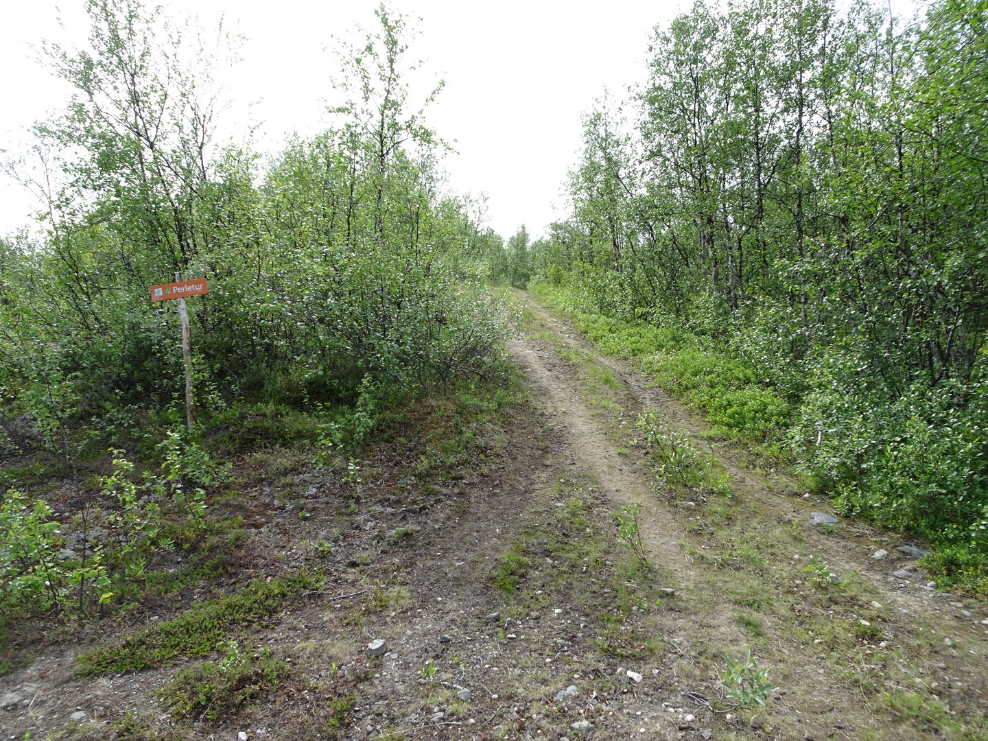
The turnoff was opposite a signed parking area and had an orange sign that I assumed said “walking trail”.
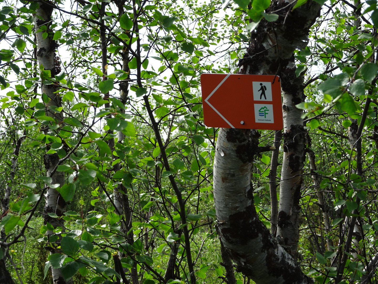
Now it was climbing for the next two km. At one point just before a swamp the red markers headed left and it was on wonderful single trail for a few hundred meters until meeting back up with the track. There was no markers on the track and I had been drifting off in my post lunch, hot day lethargy before I noticed there were none. So much for my lesson from yesterday to always be careful at intersections. There were no other tracks marked on the map and the track was going in the right direction so I followed it up the hill. Over a km later there was a red mark so I was confirmed as being on the right trail.
One thing I have noticed with Norwegian maps is they do not seem to differentiate between 4WD vehicle, quad bike, hiking track and marked route. I first though that the dotted line was a marked route but when I pass these ether I don’t even see them or they are a big vehicle trail. It is really lucky dip what type of trail you will be on but you cannot use the map to guess. This is just another one of those things about adjusting to another country, getting used to their maps.
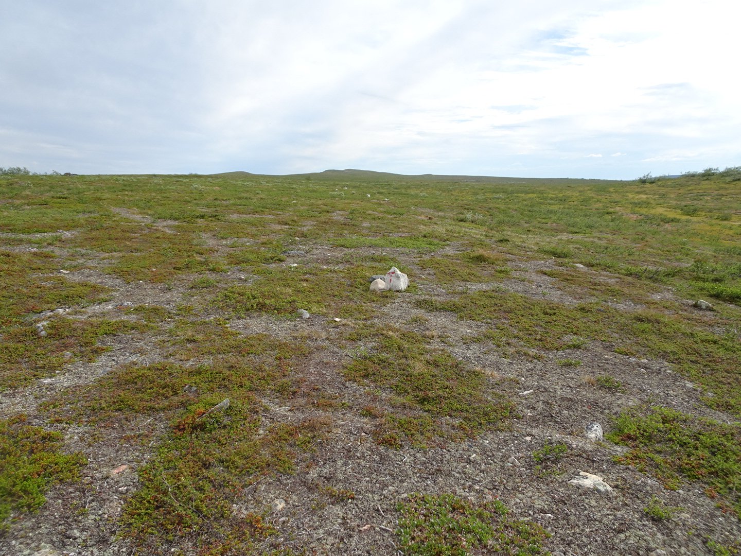
Once to the top the track flattened and I passed lake after lake. There were a few swampy areas but still kept my shoes dry. There was one area that was different with big rock formations. I was feeling tired at one point so I said to my self at the next water source I would stop. Of course I was now on one of the driest parts of the trail. There was a stream marked on the map in the gulley below me so I headed down to investigate but the water was very unappetising looking like the stagnant sludge. I decided to head to the next lake instead and continued plodding. The sky had started clouding over an hour ago but it was still hot. Just before the lake the vehicle track petered out and it was now open country following cairns.
I detoured off the track down to the lake which looked lovey. I put my tent up in the lee of a small tree and headed down to the lake. I filtered some water and just as I was finishing the wind started. I stripped and washed all of my clothing as they were stiff with sweat. With just my hat and shoes on I walked back to the tent and hung my clothes on the nearby trees. The ground was too rocky to get my pegs in far and I noticed with the increasing wind they were starting to pull out so I went rock hunting, still in just my hat and shoes. I am glad nobody came on the track, they would have gotten a bit of a fright. I struggled to find rocks but finally had two decent ones, for the front and rear peg.
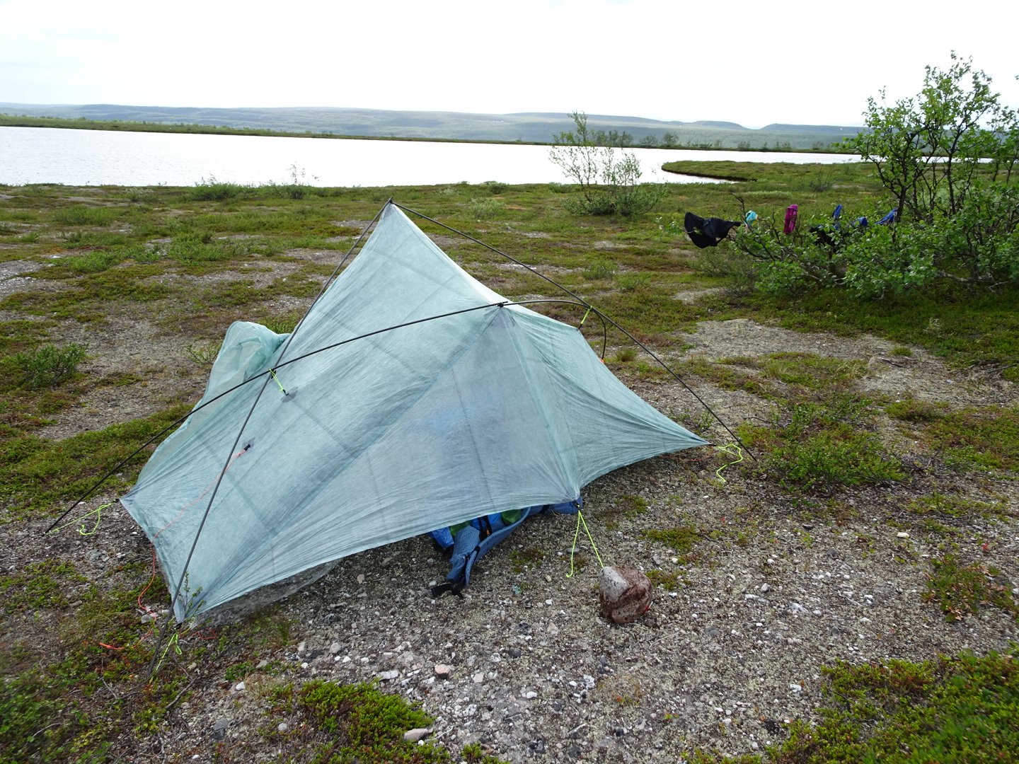
Night 14, note the washin in the trees
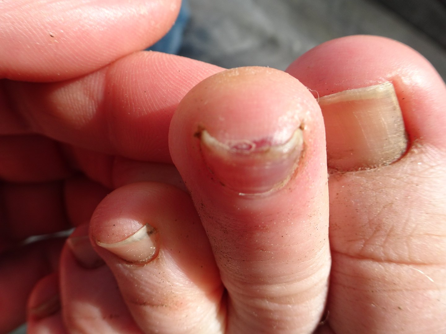
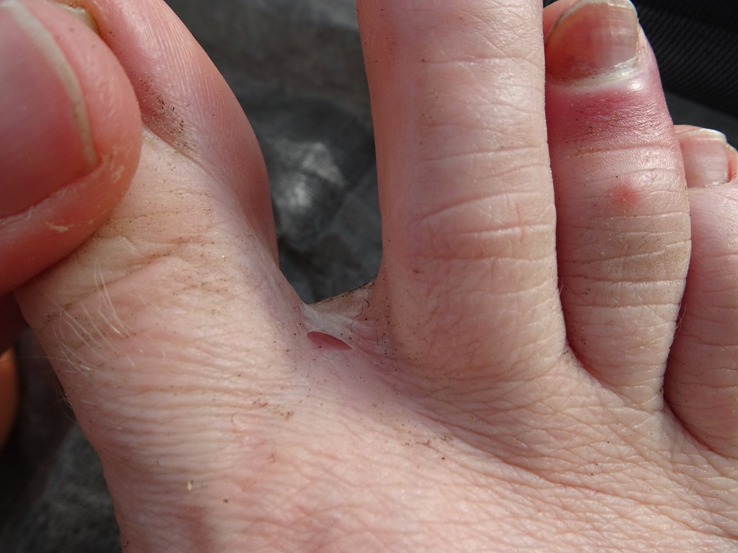
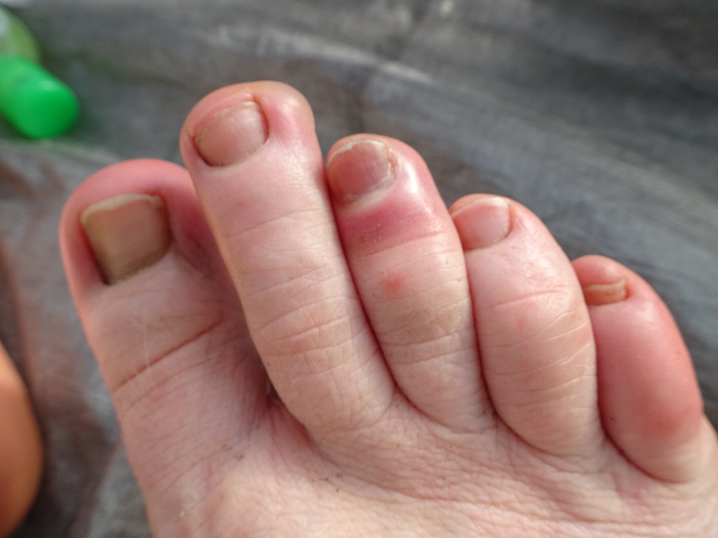
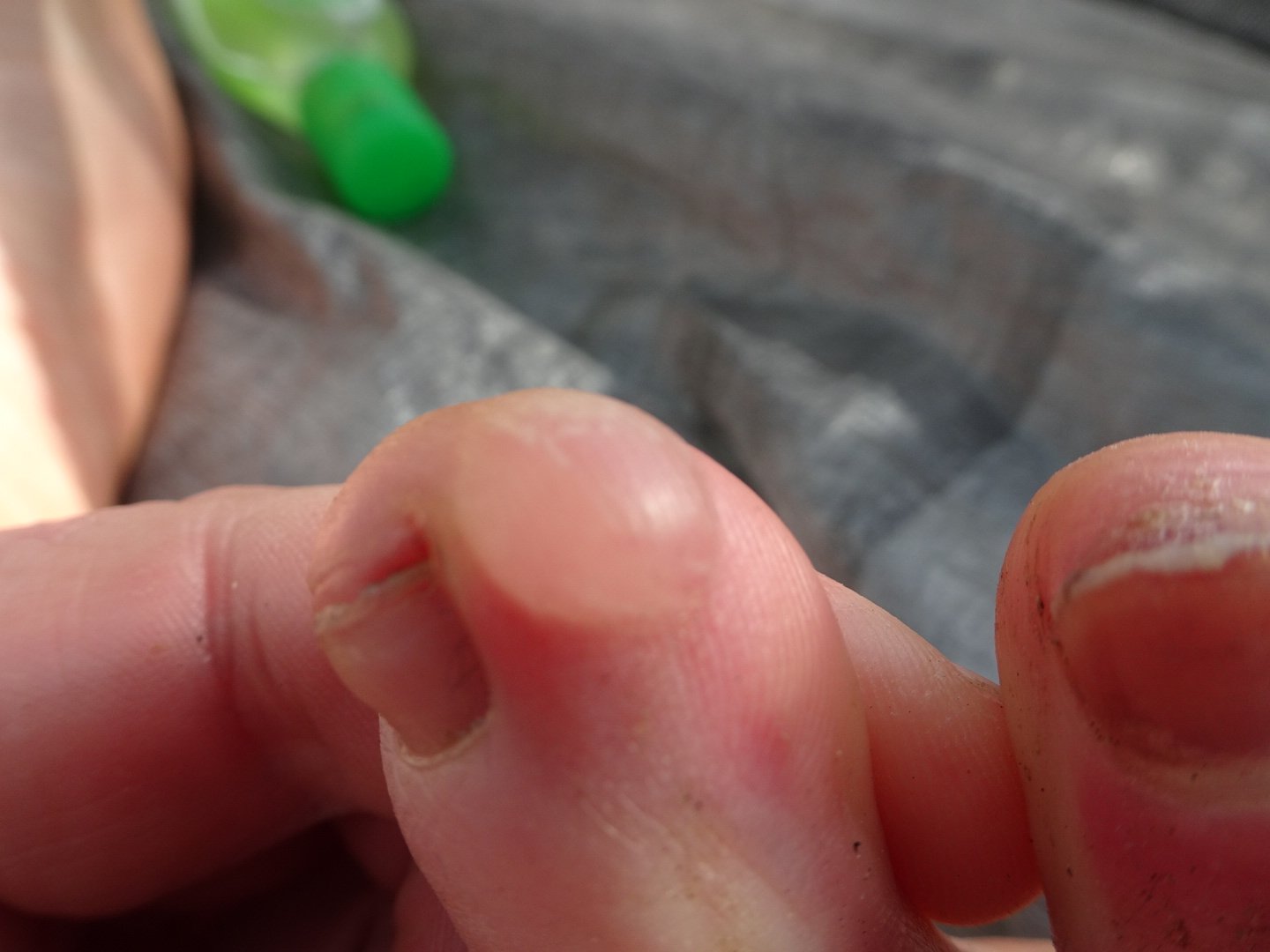
I was still full from lunch so I skipped dinner and just had a drink and desert, chocolate chip instant pudding. I decided to do a little first aid on my feet as I discovered a new blister on my right fooot at the end of my second toe. I drained that and also drained the one beneath my big toe and second toe. I decided to clip my toe nails that looked long and when I clipped the third toe on my right foot, the one I had bruised on day one and that I thought was infected, and coloured liquid came spurting out. It wasn’t bruising but a brownish fluid under the nail. So I squeeze as much out as I could. My last thing was on the second toe of my left foot I noticed the nail had started to go dark and thought it might also be liquid so I poked and yes, brownish fluid out of that one too that had to be squeezed out. Thankfully both nails did not hurt.
I then read until 2030 when a couple of large raindrops hit the tent. I scrambled out of the tent and gathered up my clothes as the rain started getting heavier. I had just dived back into my tent when the taps were turned on and the rain started in earnest. My clothes were all dry except the collar of my top so I hung it on the line I have permanently on the inside spine of my tent. I eventually went to sleep at 2130 but kept waking every time a particularly heavy gust of wind or super heavy rain came. I checked around the tent and there were no leakages anywhere.
Views: 320