
Day 25 – 14 Jul, Kilpisjarven Retkeilykeskus to Bridge near Paltsastugan Hut
(26.5 km, total 597 km, 7h 55, 1020 to 1815)
I woke just befoore my alarm and had another long shower. I did some quick repair work to refix the waist belt to the bottom of my pack. It was then breakfast time and it was a fantastic breakfast, scrambled eggs, crisy bacon, sausages, cheese, tomatoes, coffee, orange juice finished off with berries and cream.
Back in my room I sorted my food resupply package and packed trying the bag of chips I had not eaten onto the back of my pack.
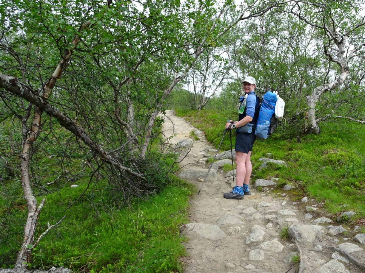
After checking out I was off.
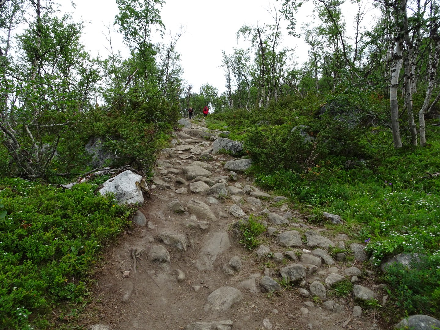
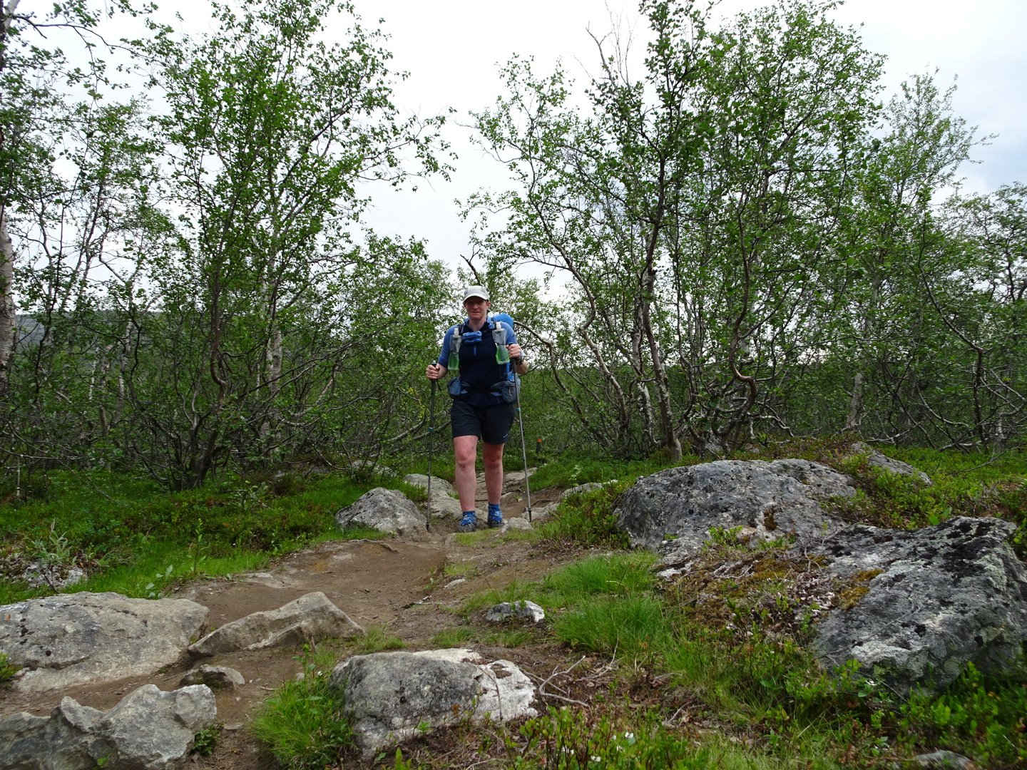
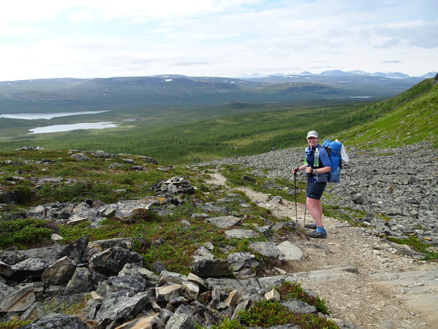
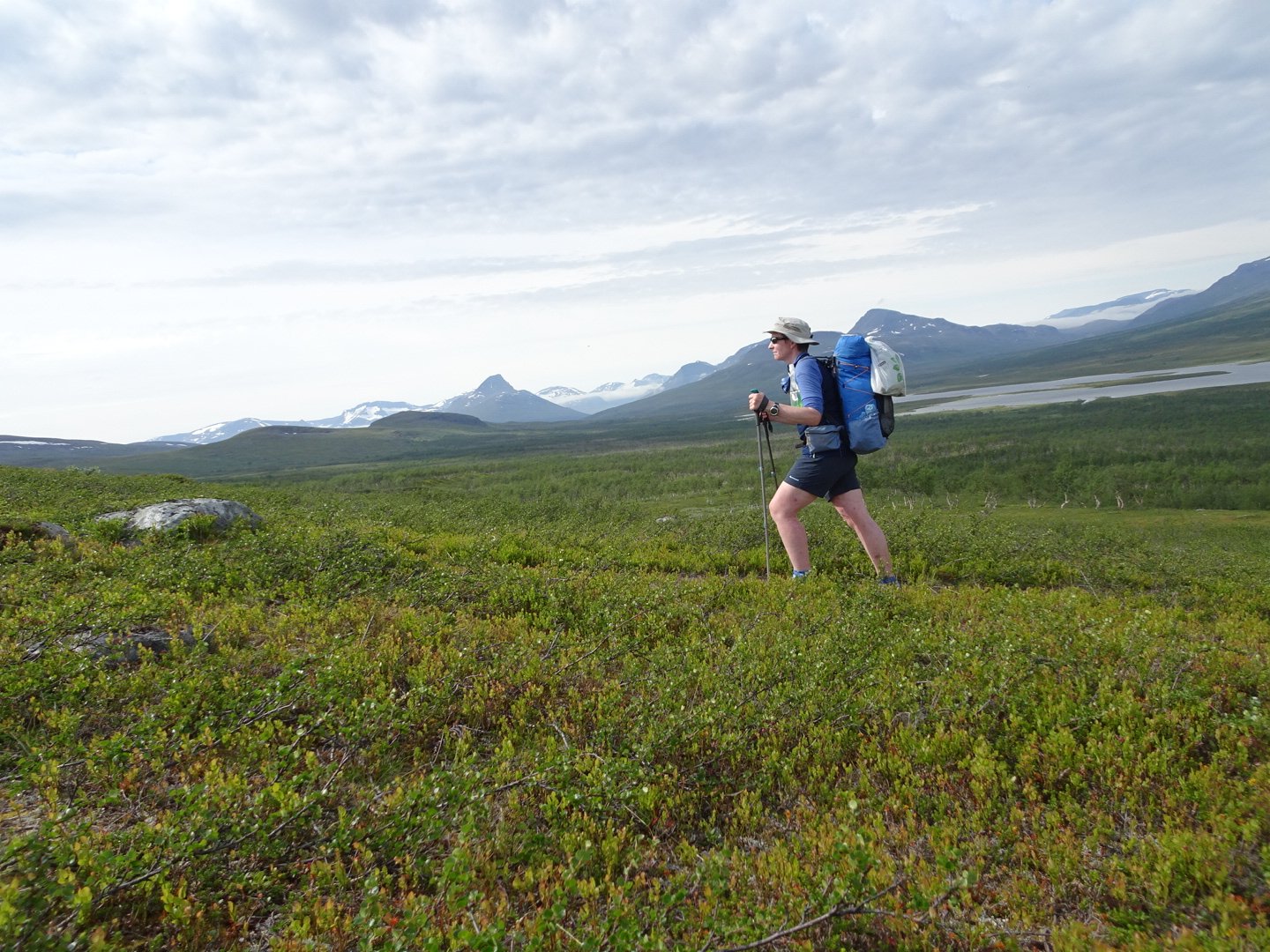
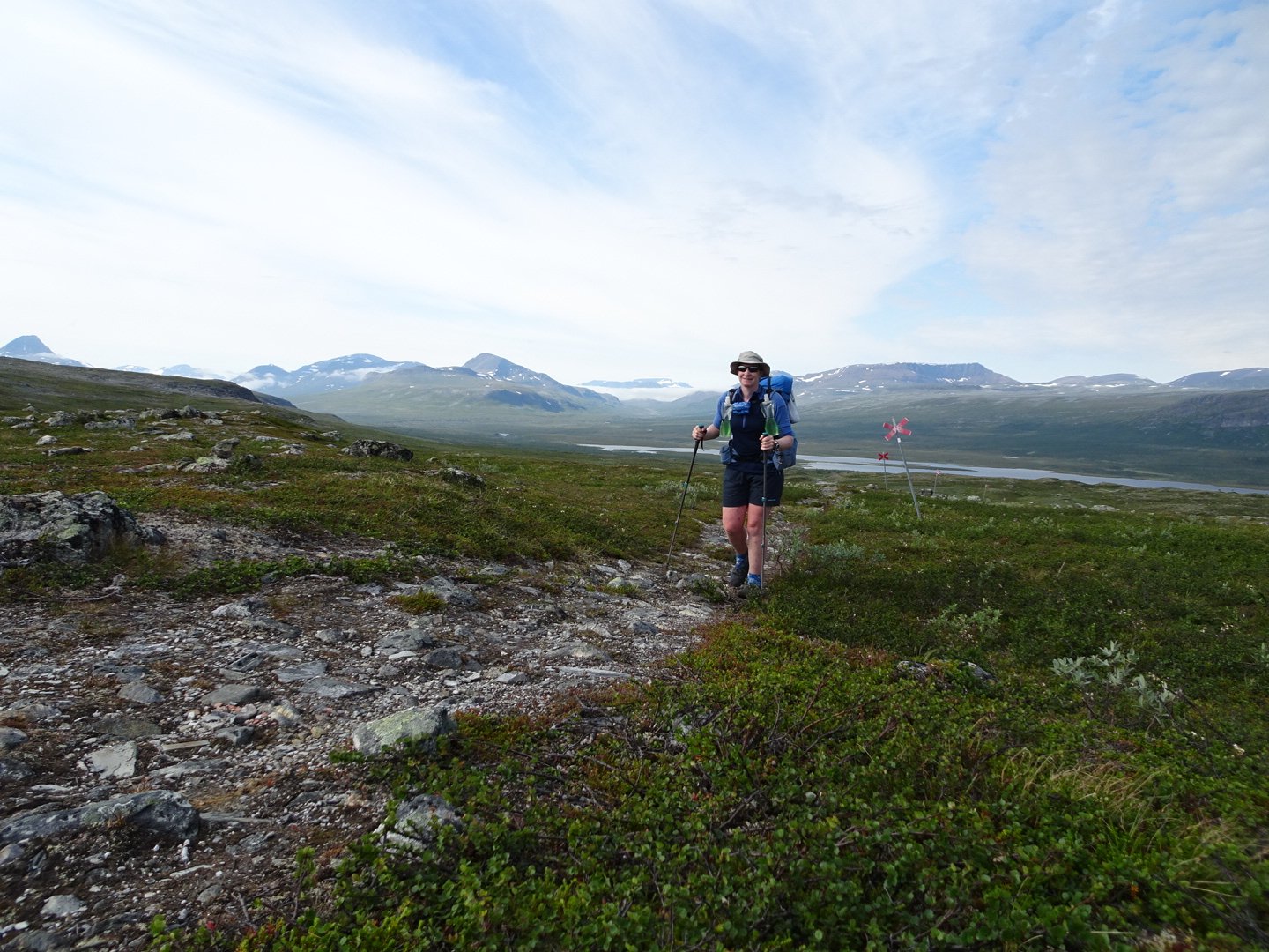
The trail started right by reception and climbed on a rocky path for a short while. There were heaps of people on the track.
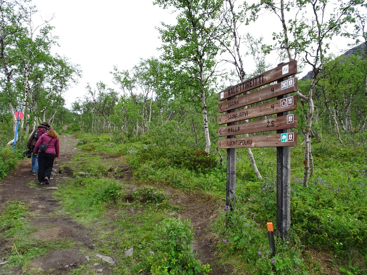
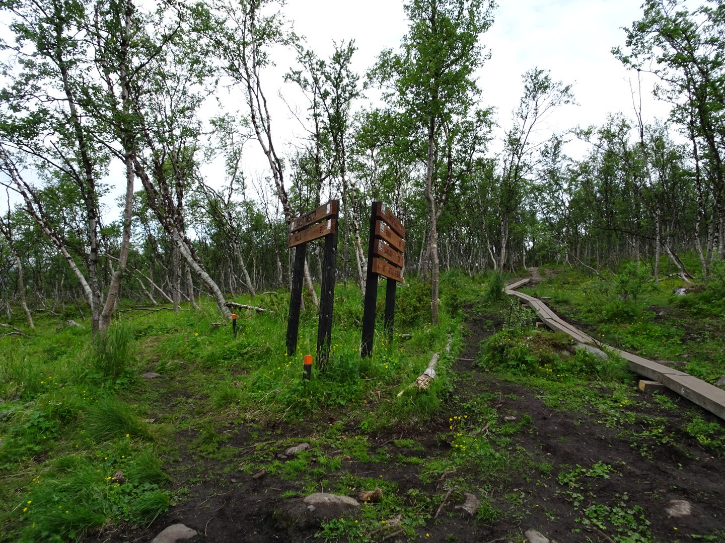
At a junction I turned left following the signs for Nordkalttleden and the traffic on the path eased off. The track now dropped steadily though the trees to the road and a large car park full of cars.
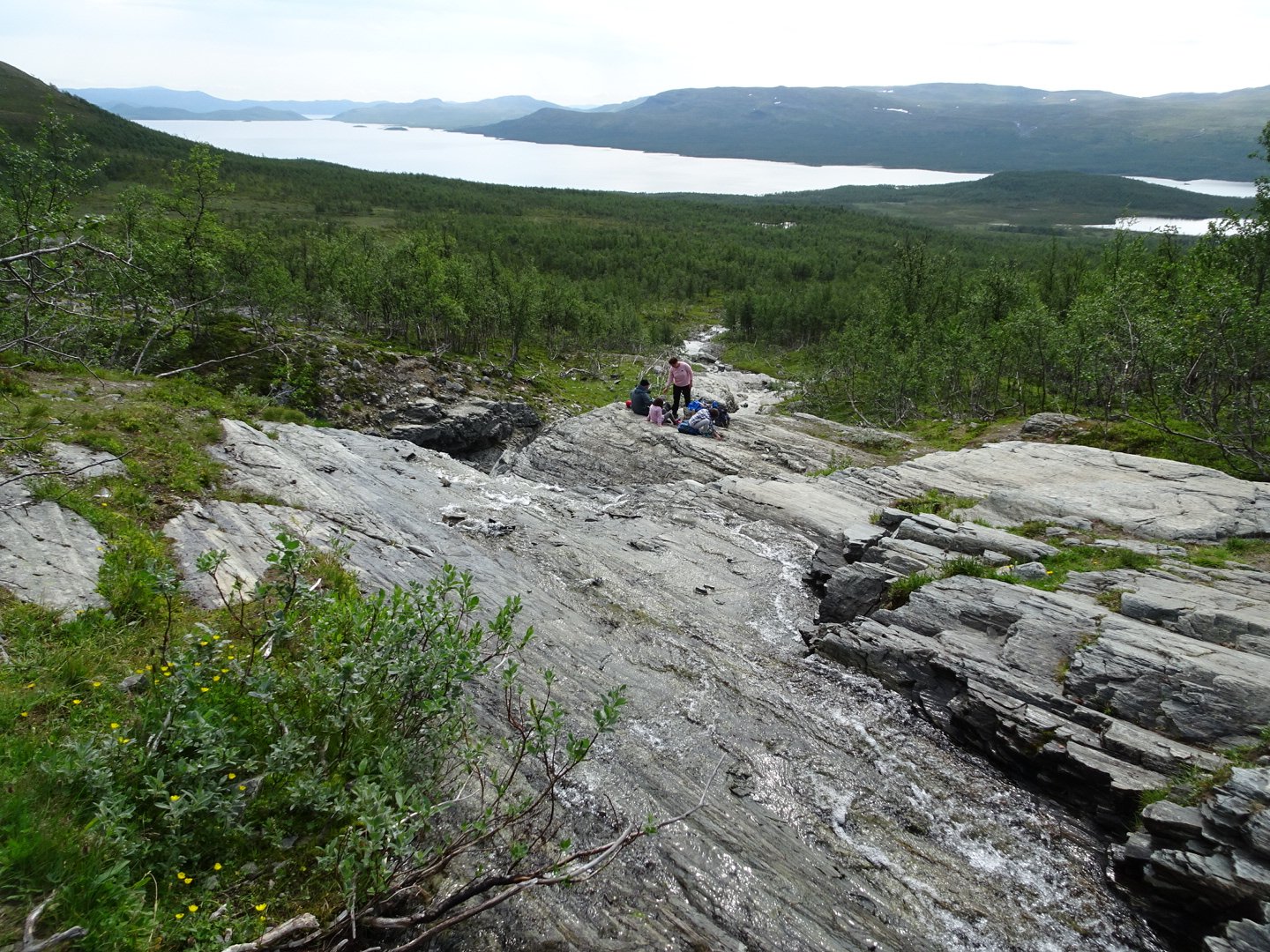
Now the track entered the Malaniiuonnonpuisto, a protected area. The rocky path climbed up a steep bank and dropped down to a bridge.
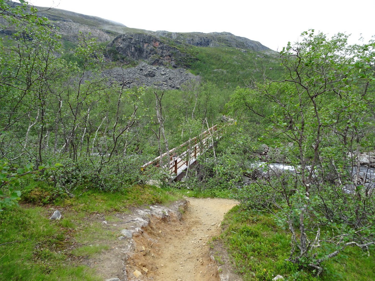
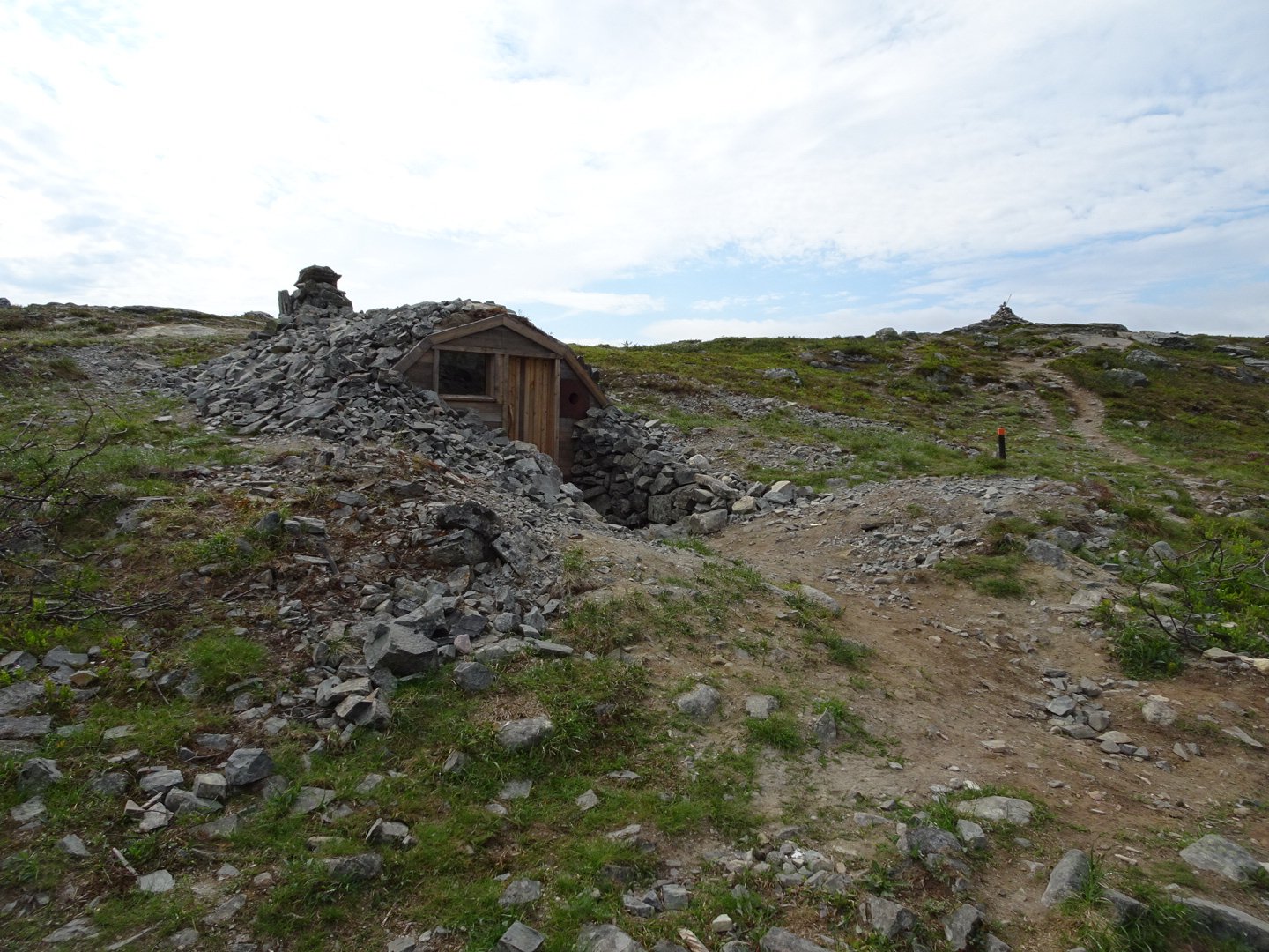
From here it was a steady climb up into the open beside some pretty lakes and up a steep section to the high point of the saddle. There was a small hut here, for emergencies I assume.
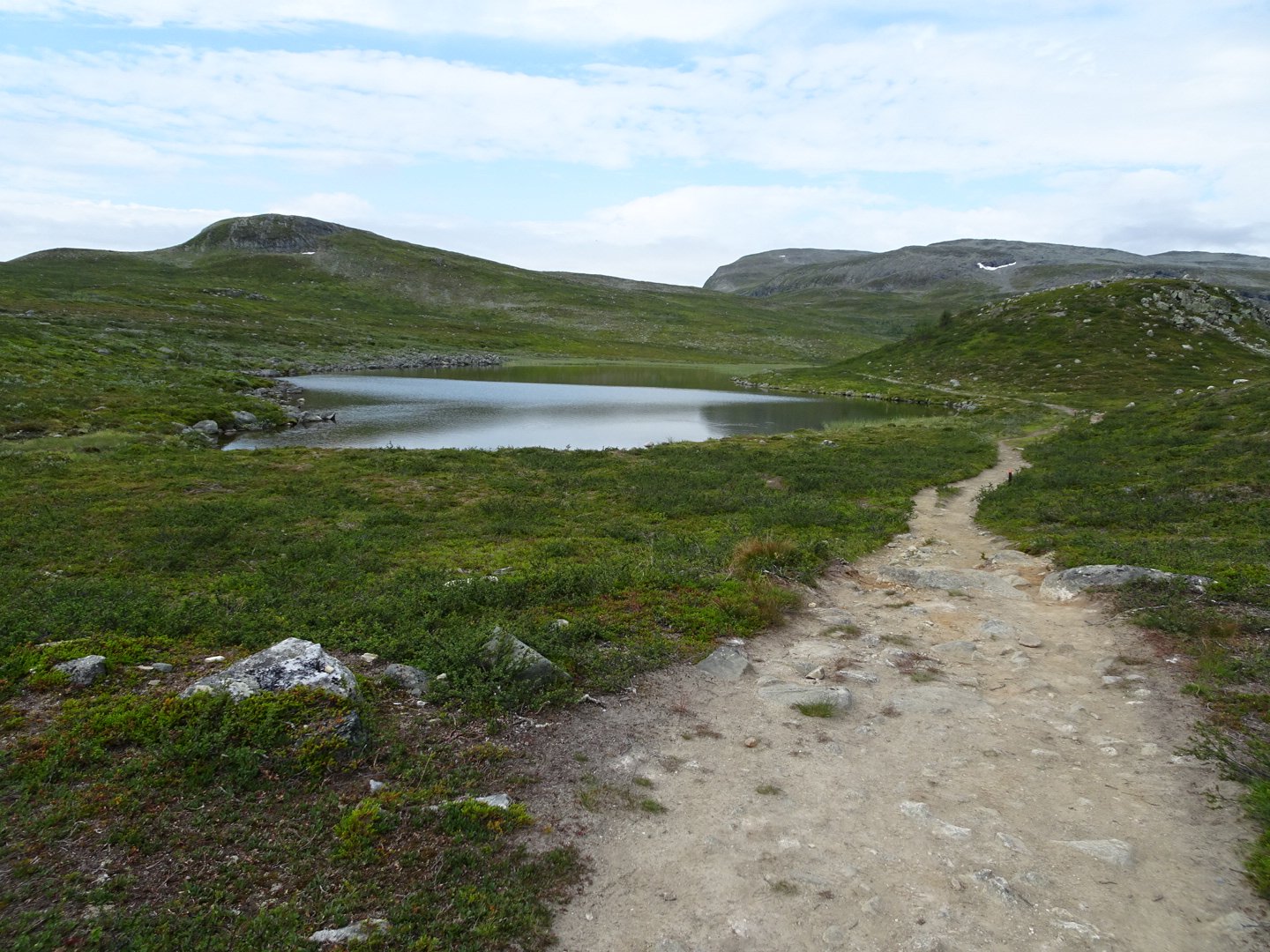
Looking down where I came from
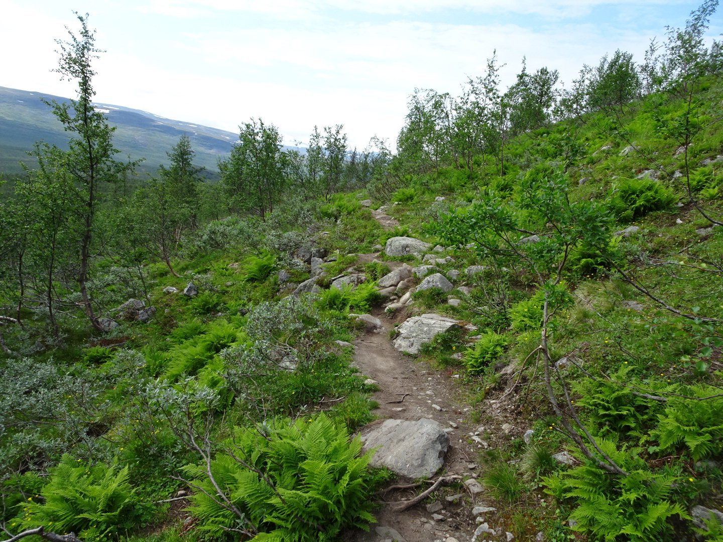
The track dropped steeply and then maintained height, initially in a really rocky area and then after a small waterfall the path started to smooth out. There were regularly people coming towards me and I caught up to a few people as well.
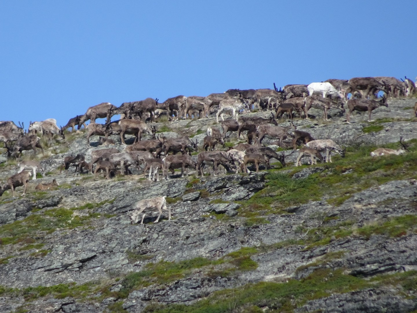
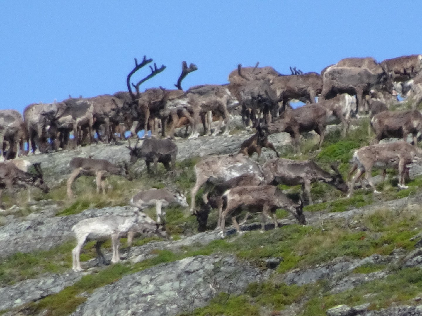
As I approached two people on a bench they said stop and listen and I could hear what sounded like pigs grunting. These were reindeer they explained and they were below us. I continued along and not long after I looked to the saddle in front and a huge herd of reindeer flowed through the saddle and up to the big hill to the right. It was a big distance away but I sped up hoping to still see them before they disappeared.
As I got closer to the saddle I could see some stragglers making the climb up the hill and then I saw to my left 2 females and 2 babies coming below me. They passed in front of me and made their way up the hill to join the herd, which was over the other side now.
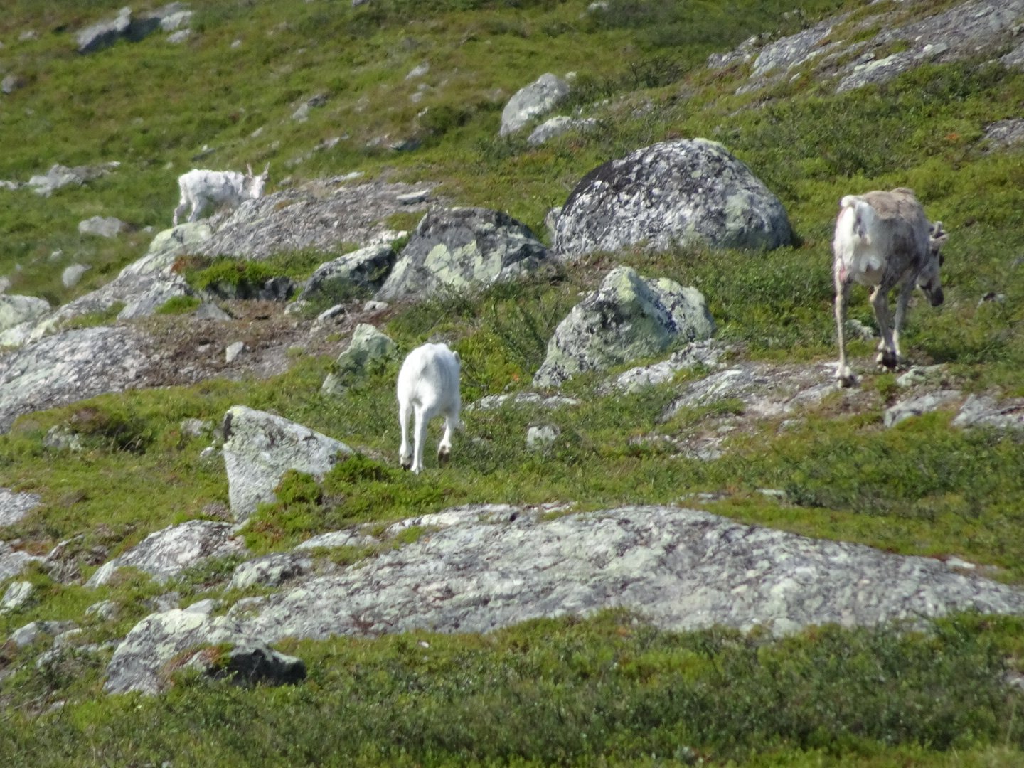
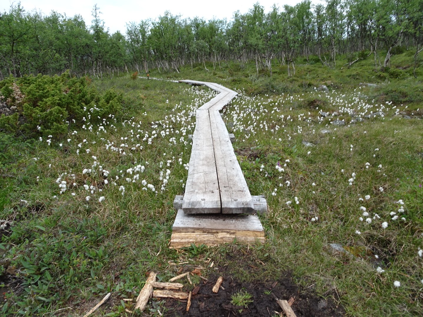
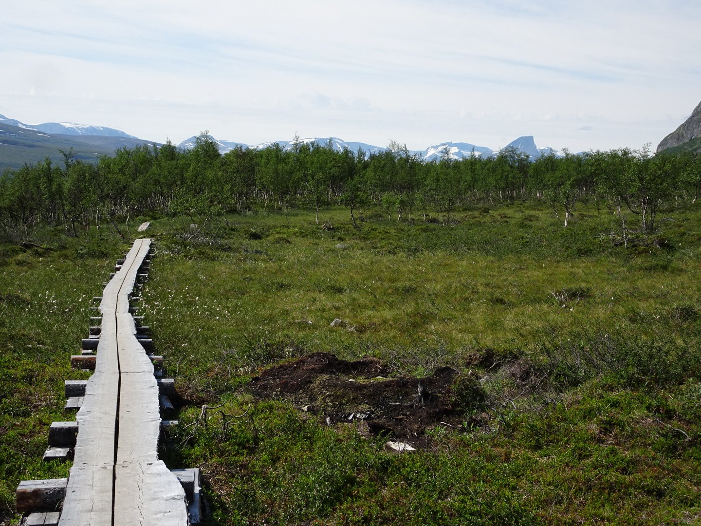
The track now started descending. It was a little more muddy but there were boardwalks over the worst of it. I could hear the grunting Reindeer and on one of the boardwalks over the swamp I had a clear view up to the peak and could see the massive herd standing there. They then started moving down the ridge. It was neat to see such a large herd and it is the first time I have heard the reindeer, all my other encounters they were silent. I would never have imagined they would sound like pigs.
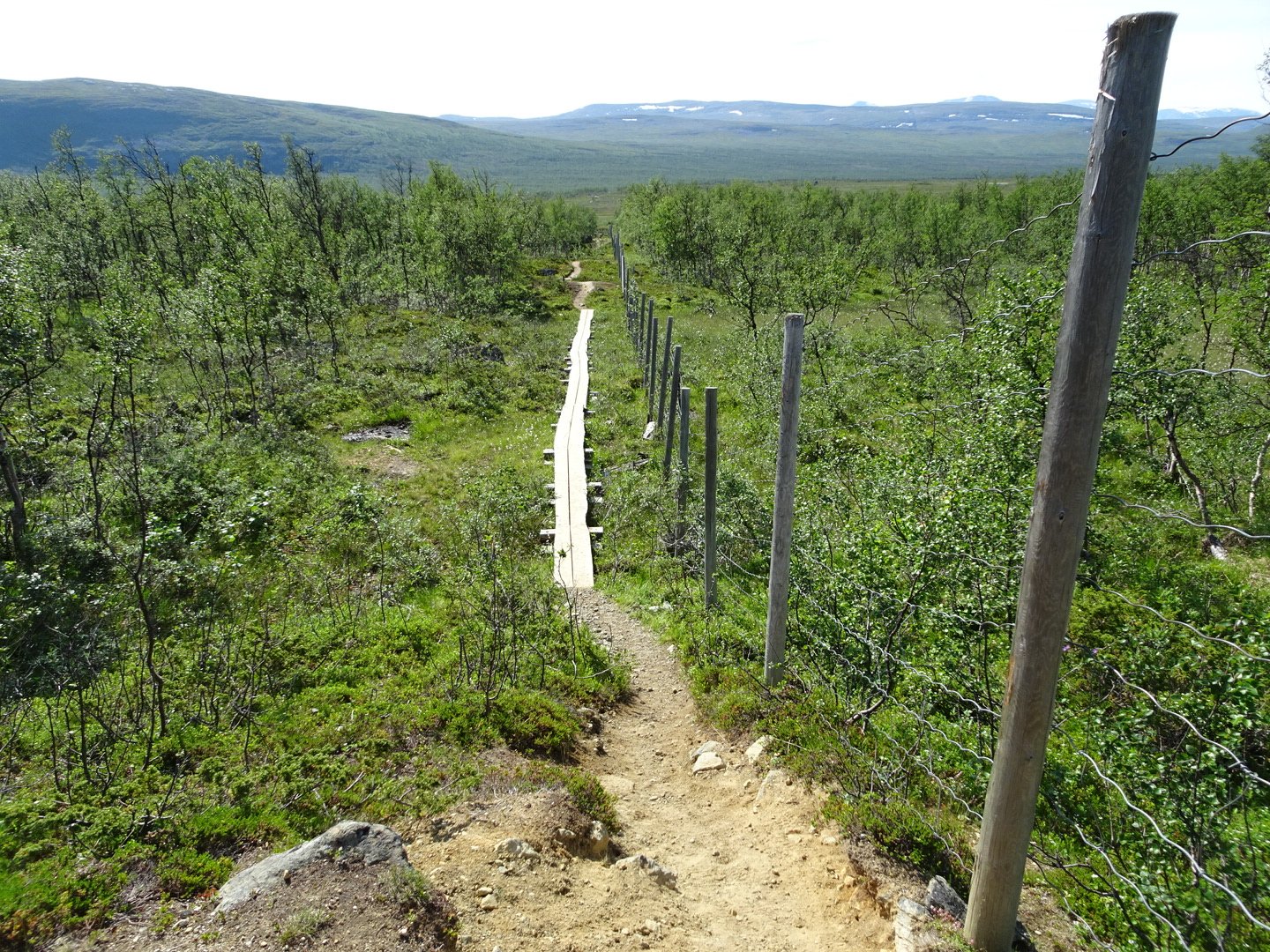
The trail came to a reindeer fence and now headed directly downhill to a lake. There were lots of people walking up the track who looked very fresh. I think the boat dropped them off to see the three boarder marker and then they walk back.
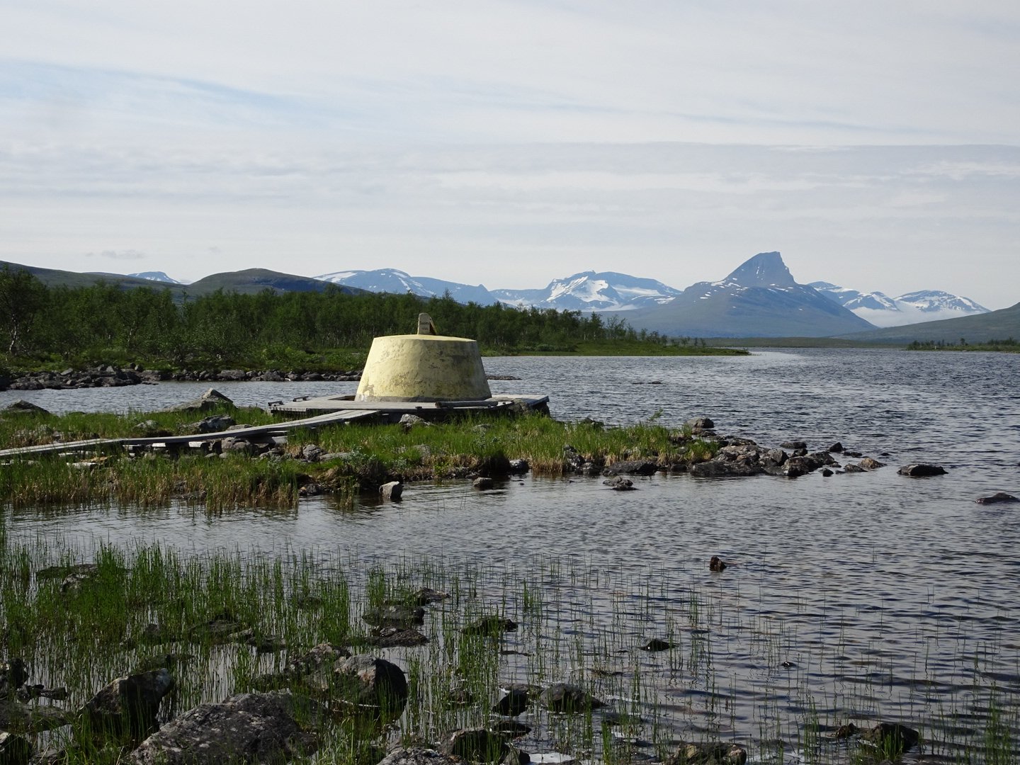
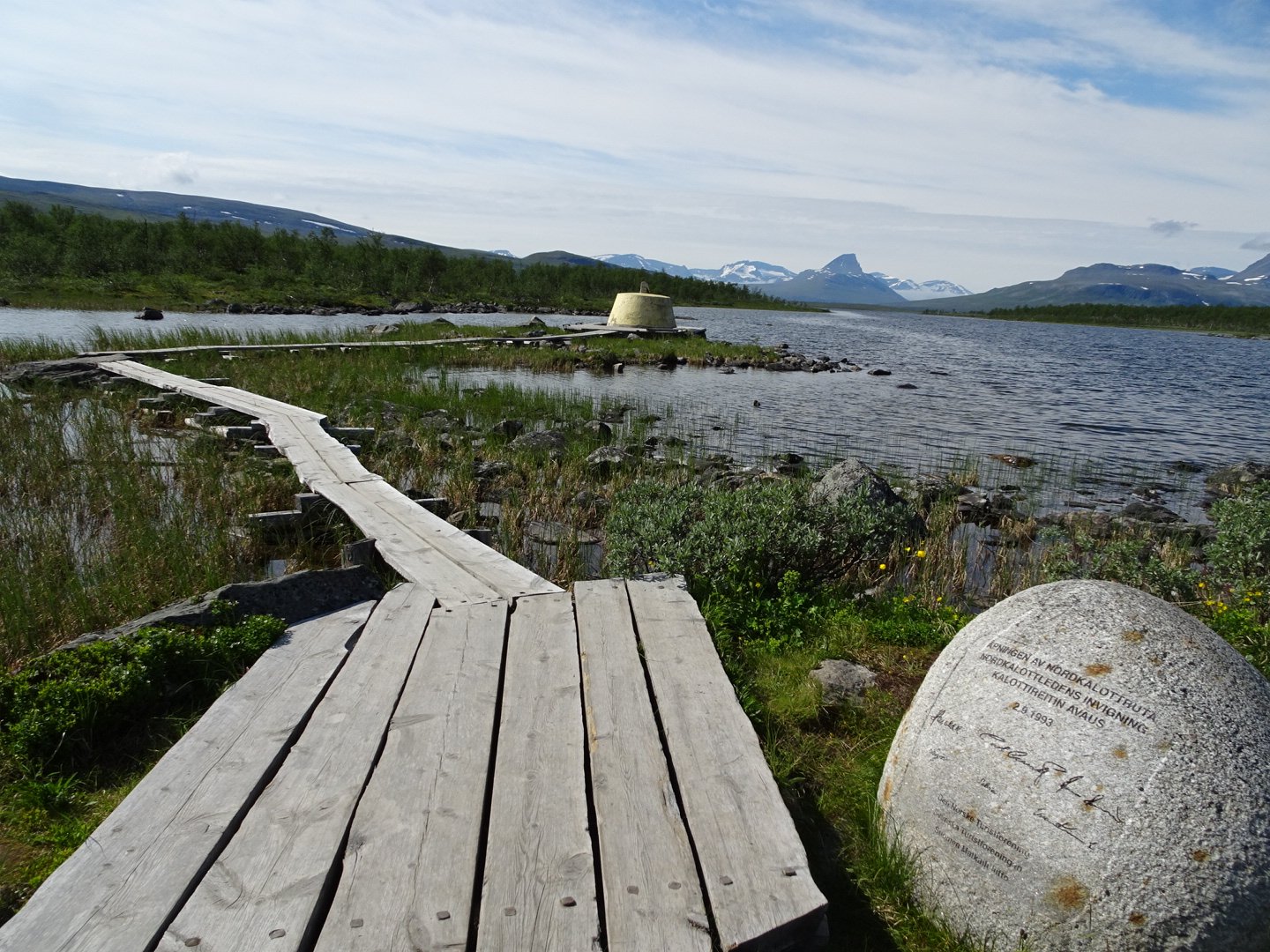
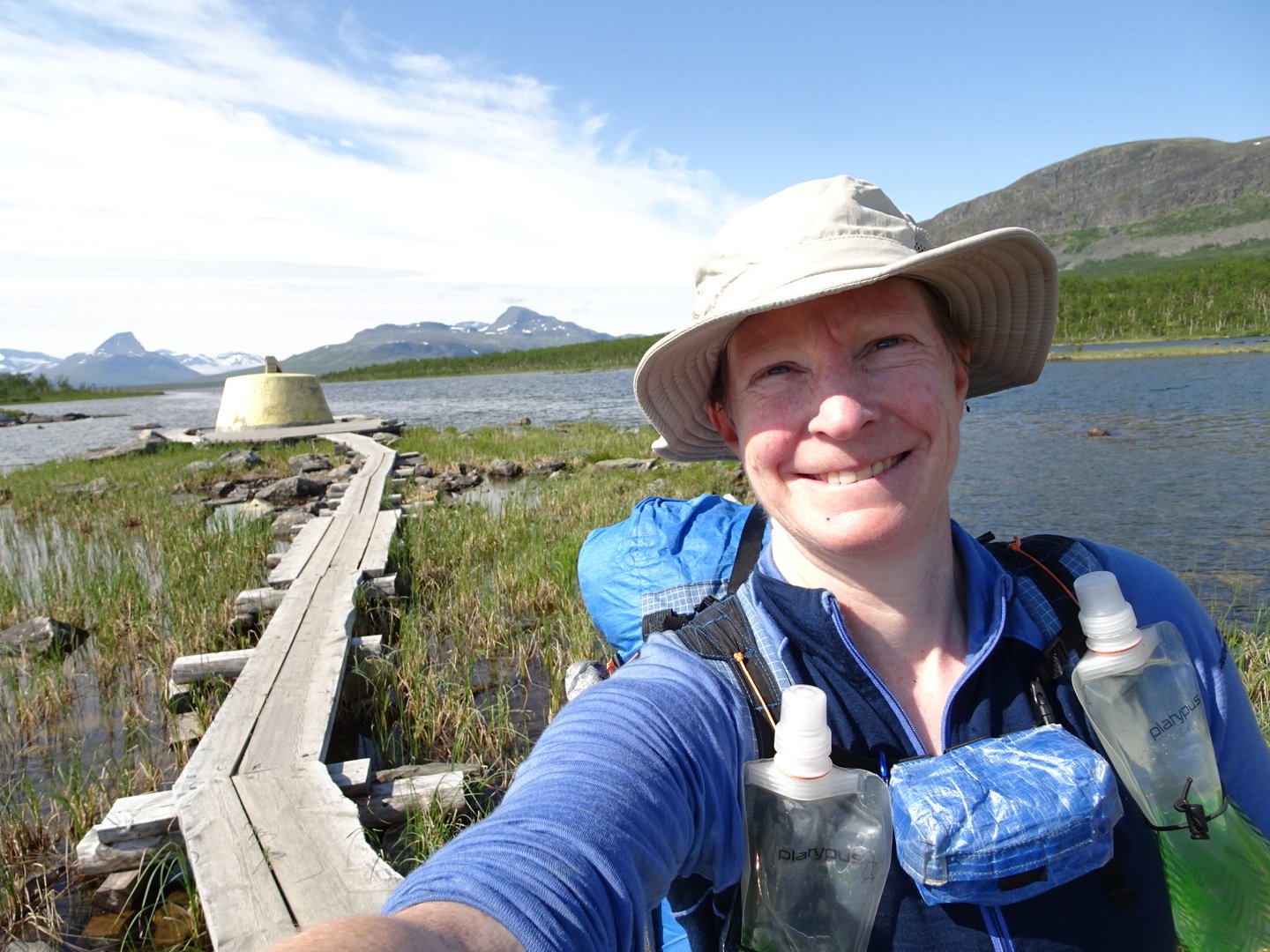
At the bottom of the hill was the marker where Norway, Finland and Sweden boarders all met in one place. There was a boardwalk over the lake to a yellow concrete marker, and around the marker so you could travel through all 3 countries in 10 seconds. There was also a large smooth rock which marked the opening of the Nordkalottleden trail. Apparently members of the Royal Family of all three countries hiked a short distance of the trail in their country and met together at the marker for the opening.
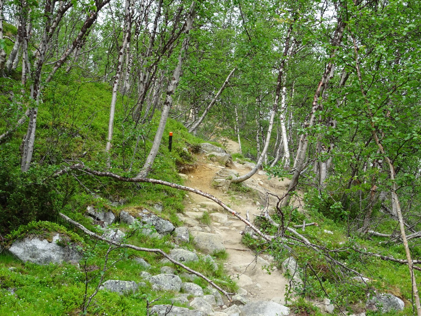
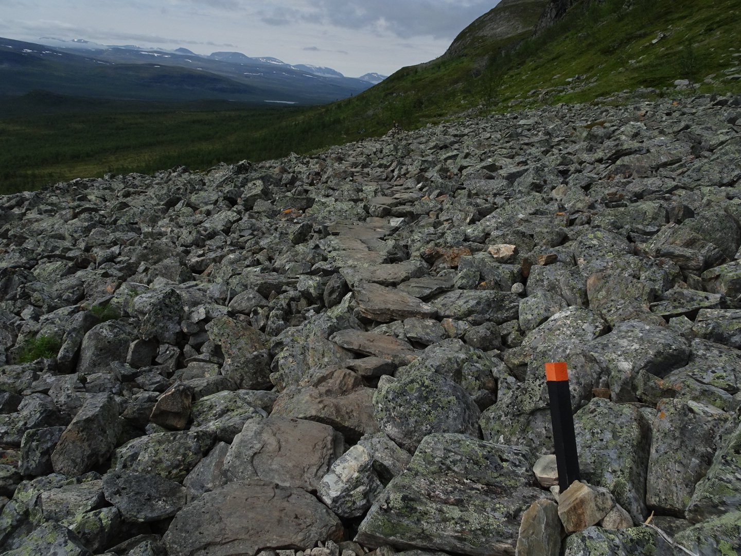
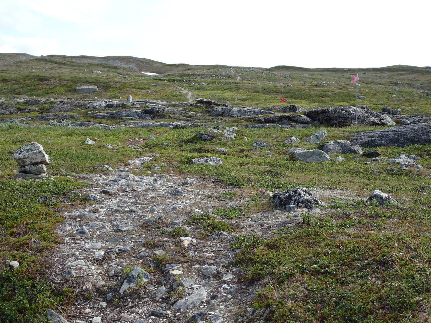
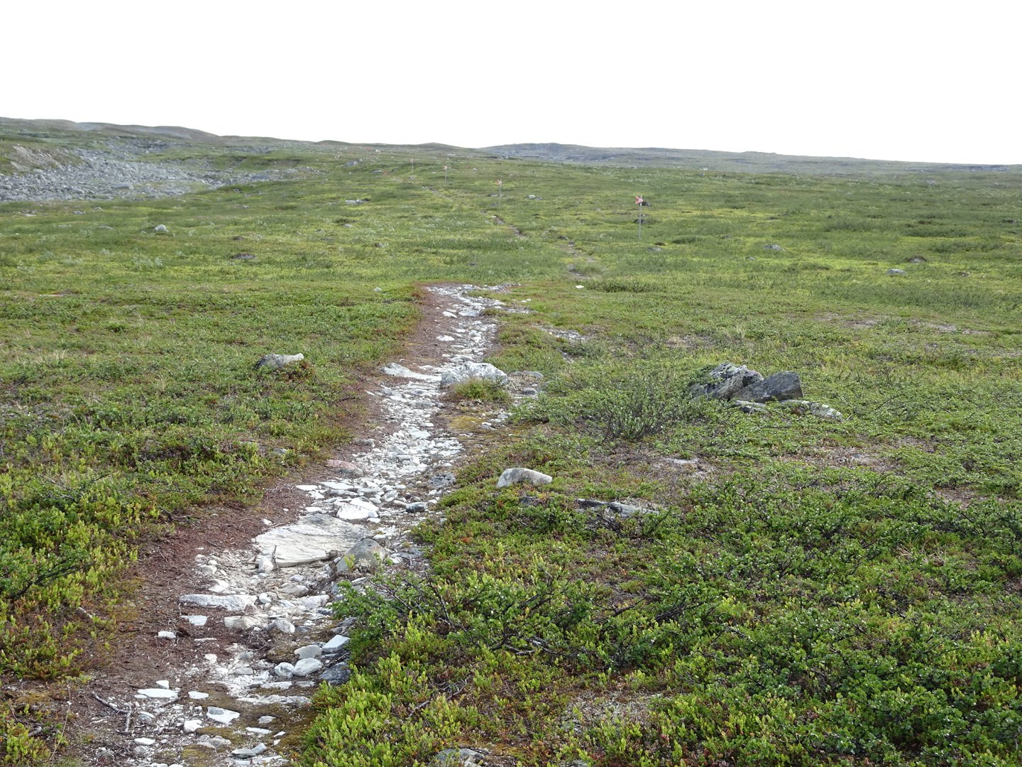
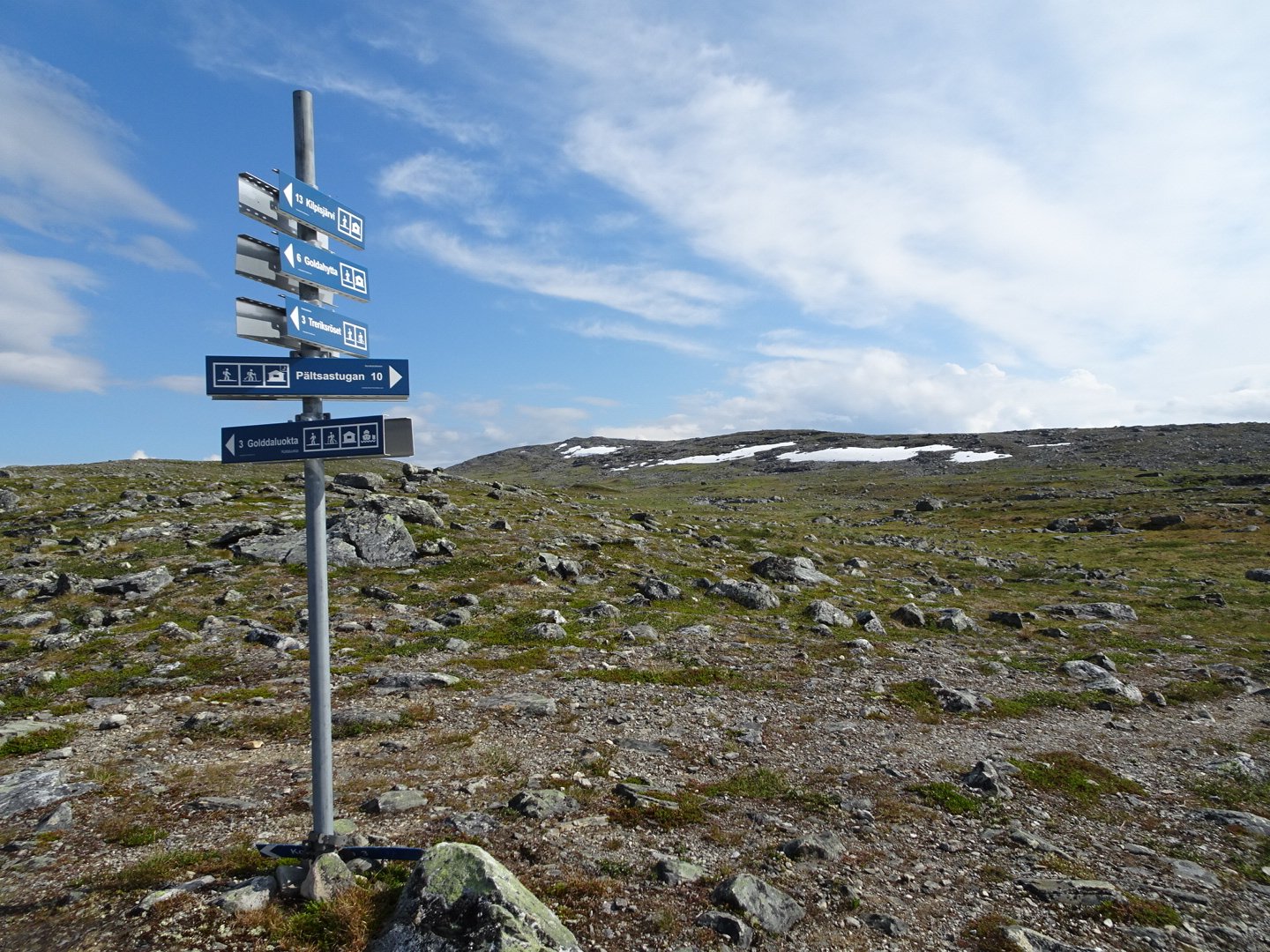
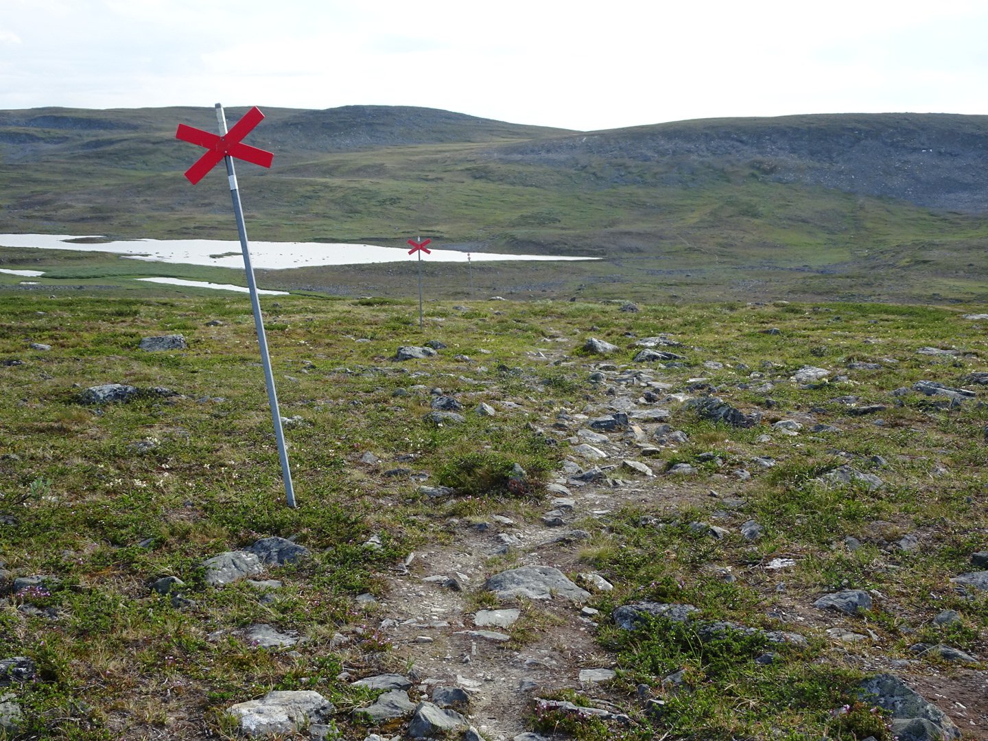
I now crossed into Sweden to continue my journey. The signposts were now blue but at the very first junction after the main signpost there were no markers. The choice was a snowmobile (red x on a pole like at a railway crossing) or a vehicle track. On the map the route was in a solid line so I thought this was the way and continued for a few hundred meters. There were heaps of footprints on the vehicle tracks. I kept expecting the track to veer left away from the lake but it did not so I headed back too the SnowMobile track and took that. It had a well established walking path and was marked every 20 meters with the red X on a pole. The direction was good and after a while I saw some boot prints.
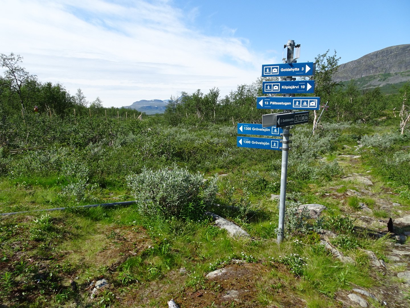
Swedish Track signs are blue
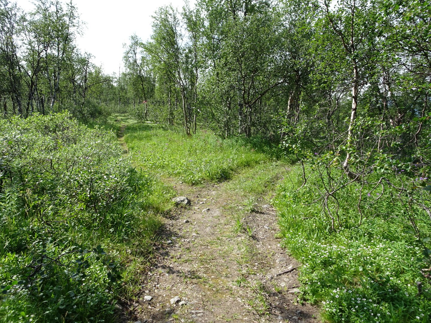
The junction where the trail goes left, even though there are no signs
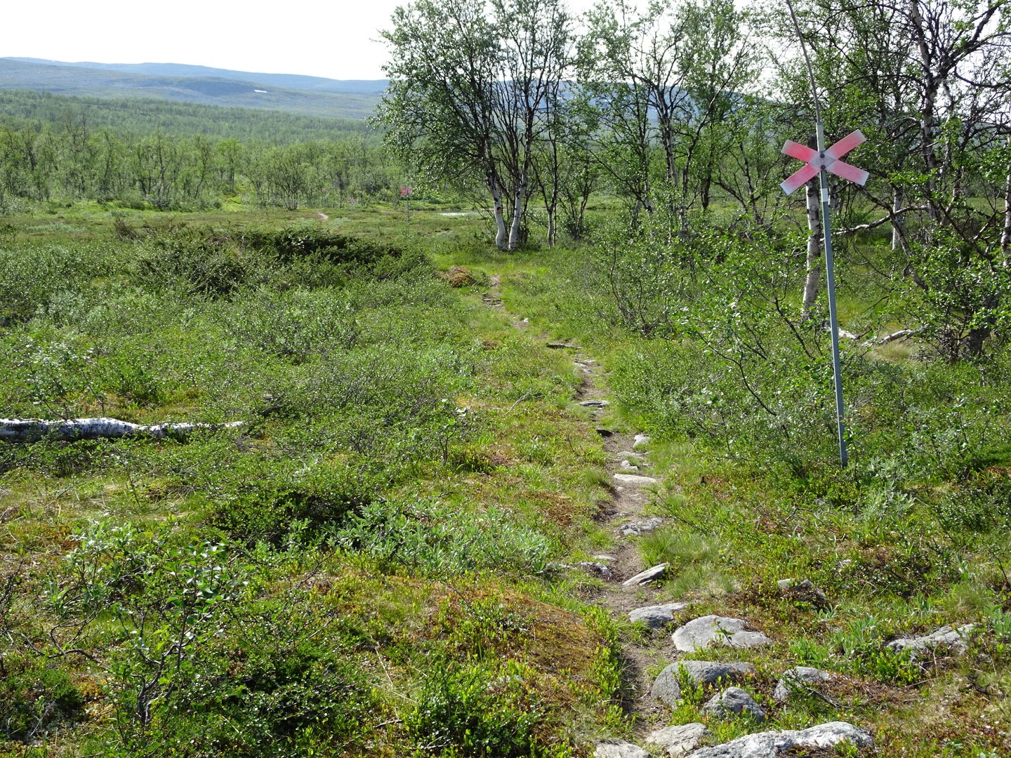
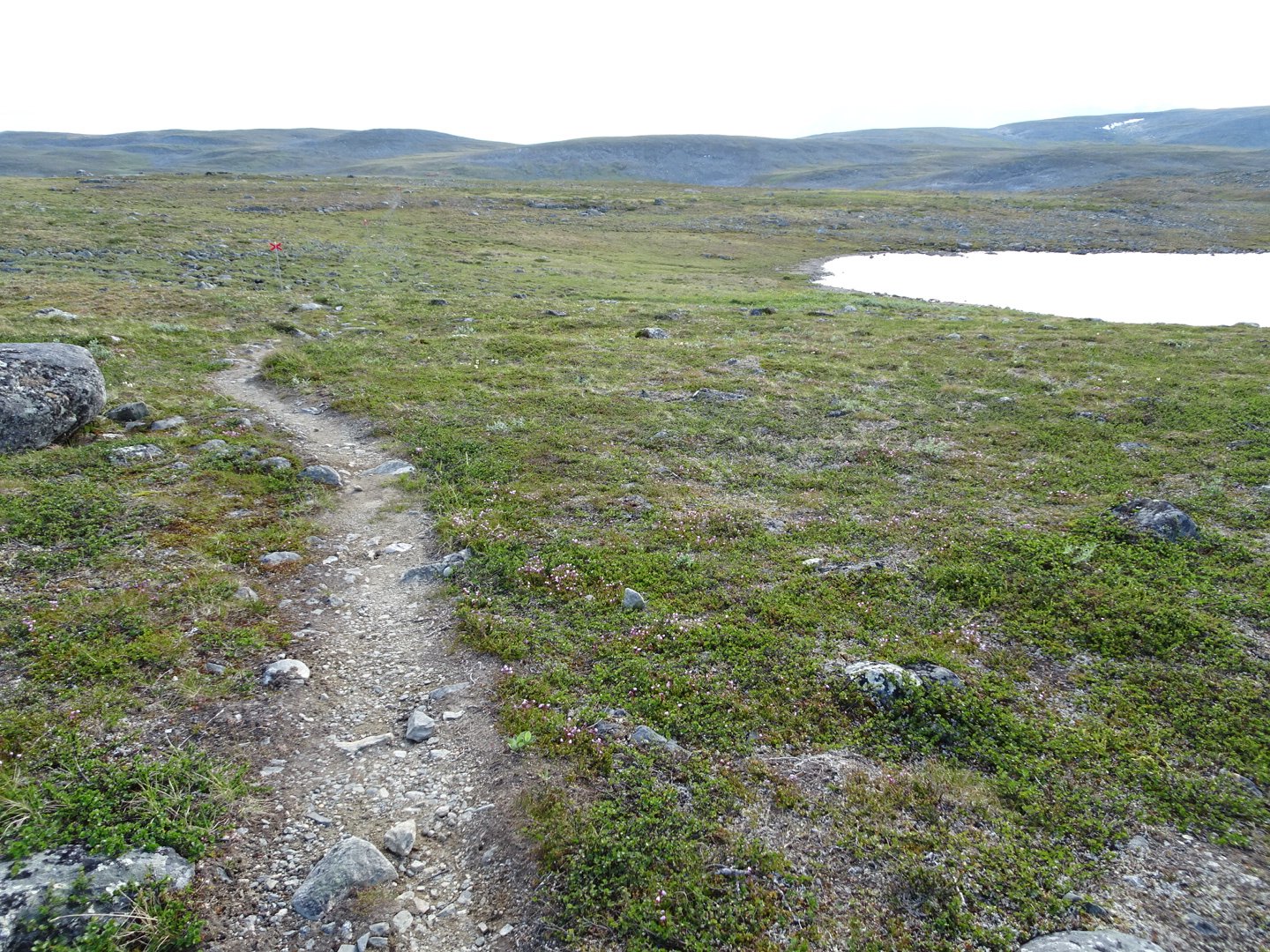
Now following the red X
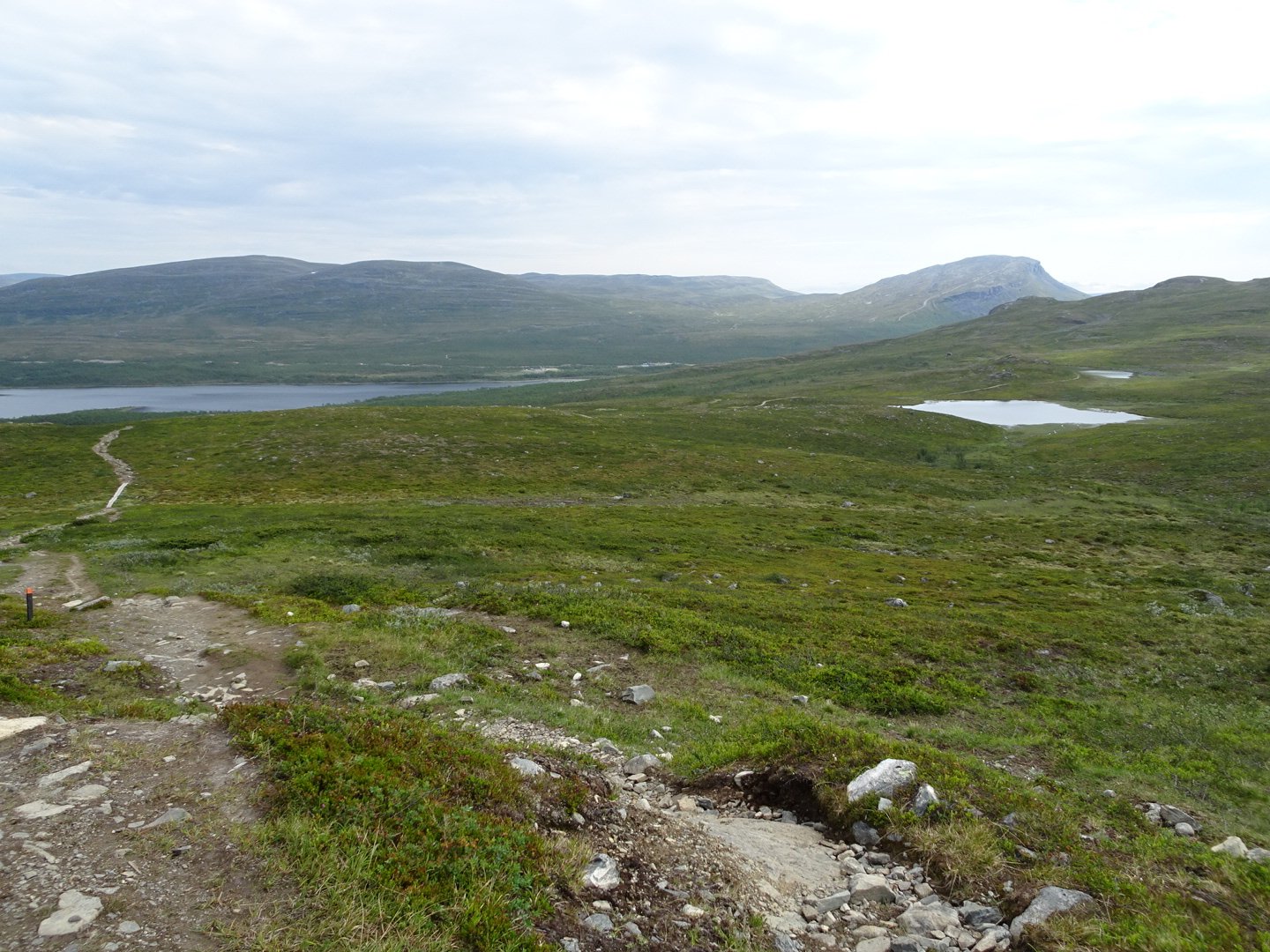
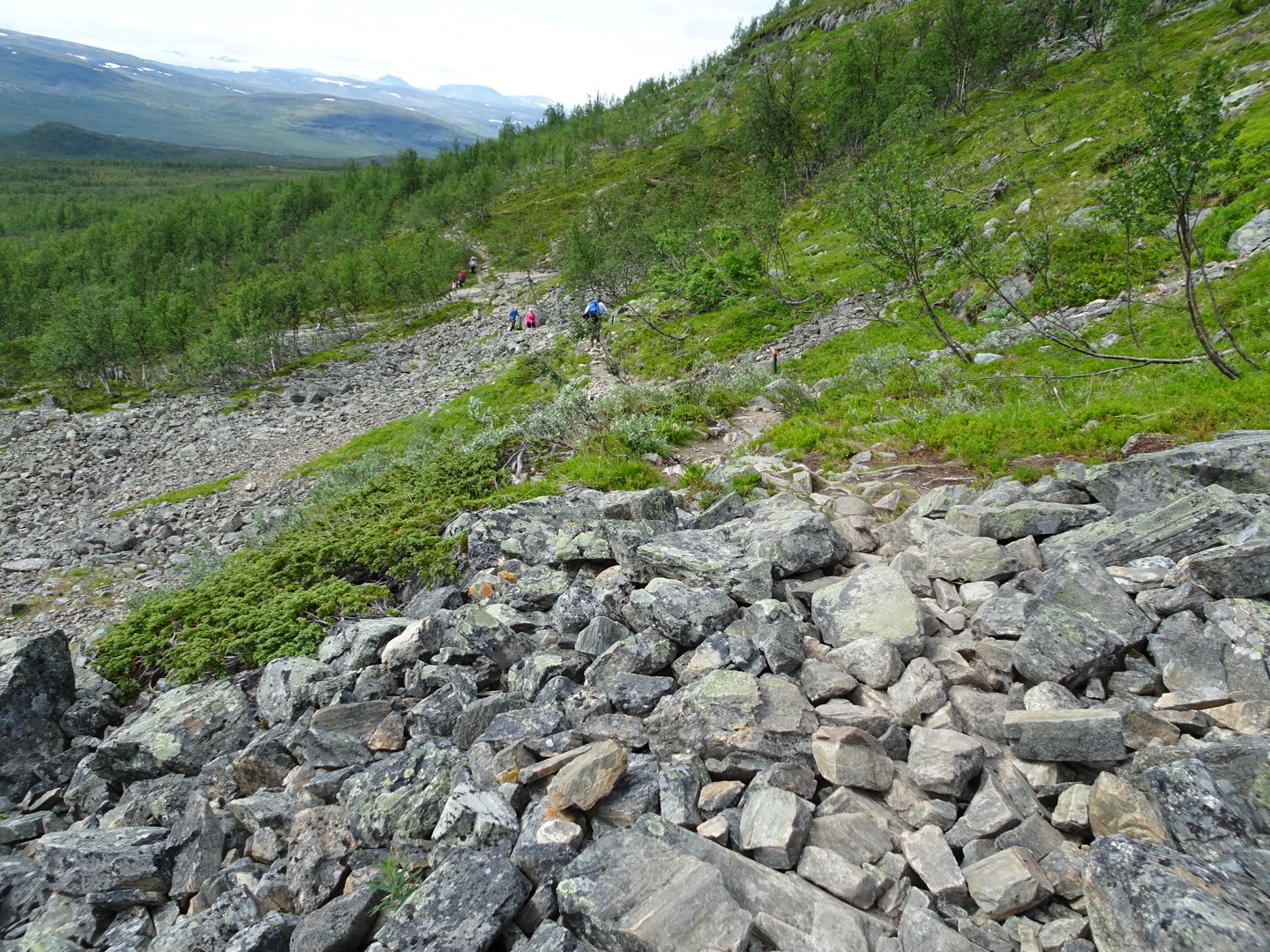
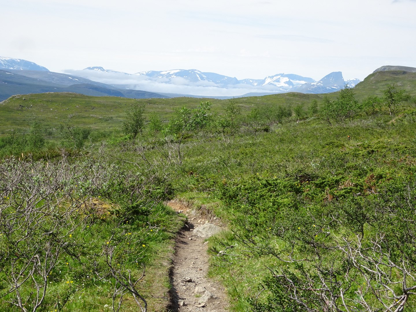
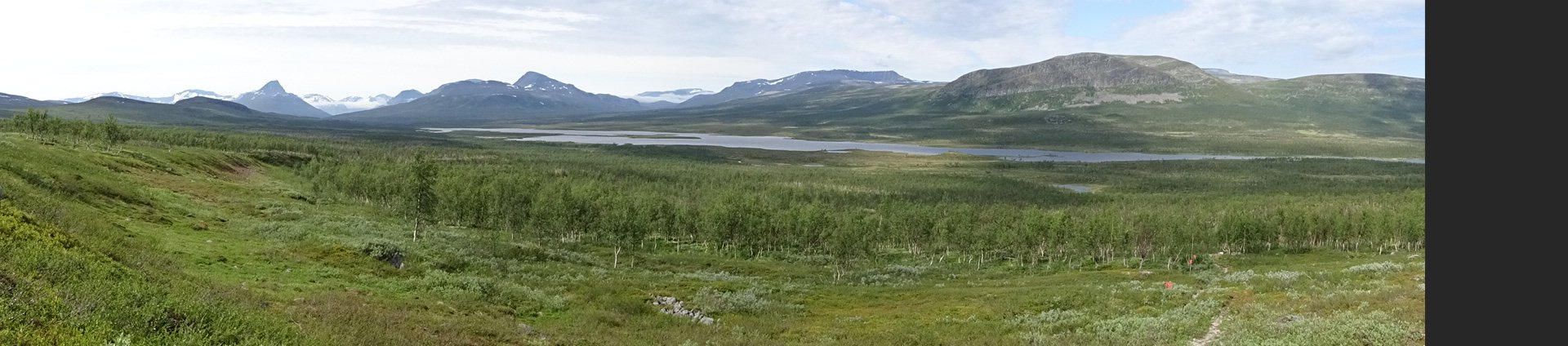
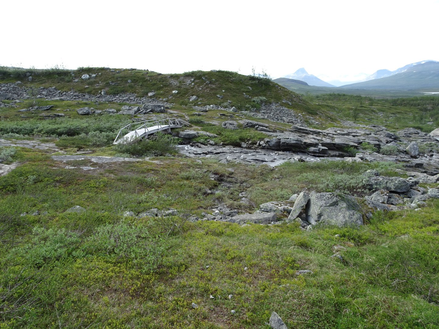
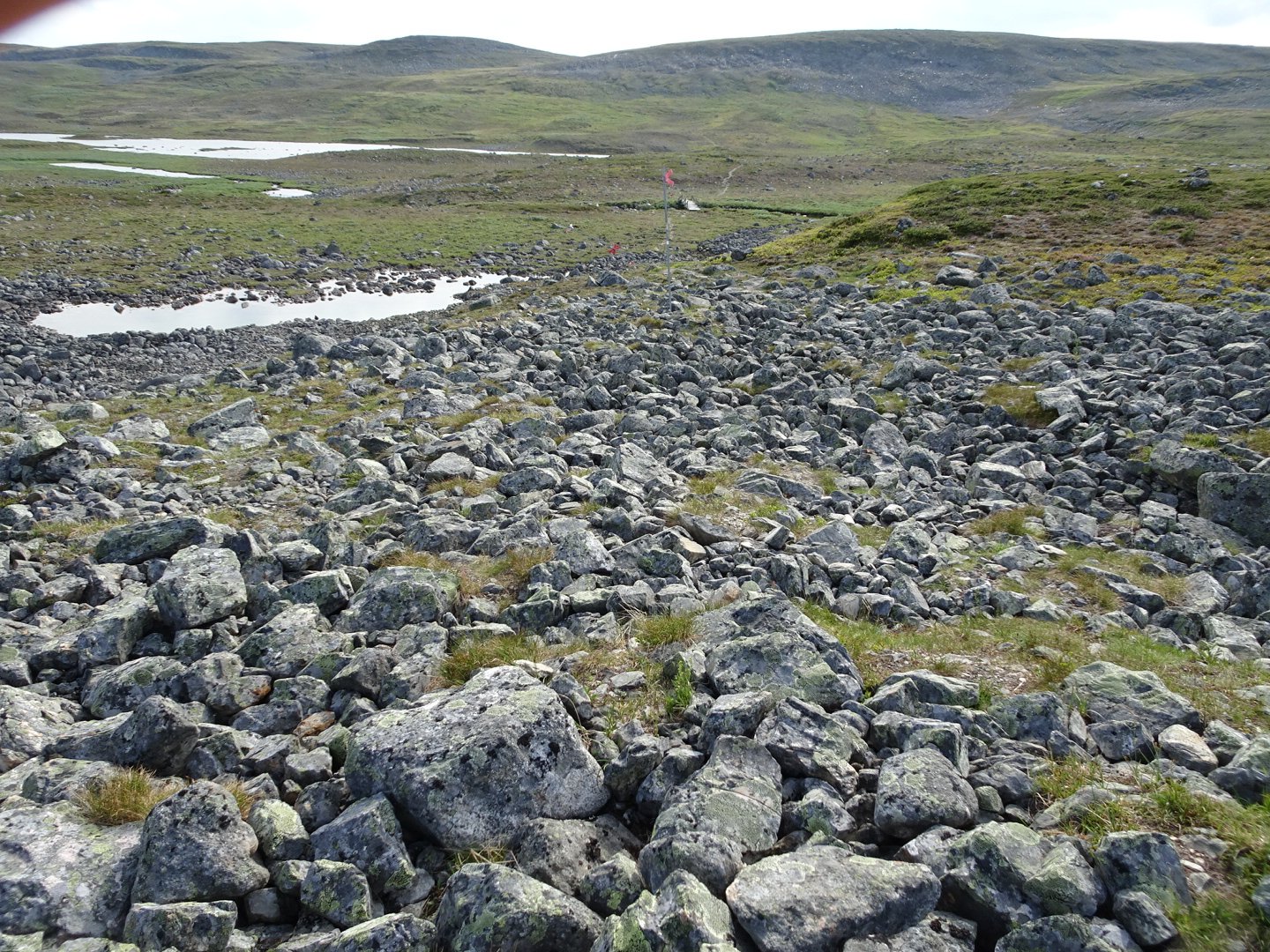
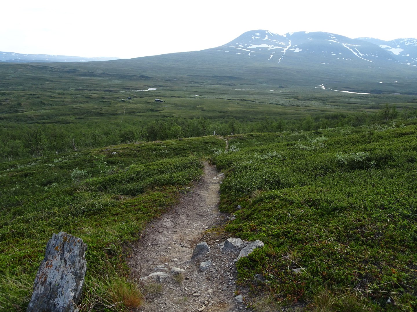
The trail steadily climbed up the side of the hill, climbing above the tree line to show amazing views of the mountains to the NW and at the lakes I had climbed up from. The climb started at 493 meters and climbed to 920 meters so it was a decent climb. There were bridges over the big rivers and the track was easy too follow, even without the big red Xs.
From the track junction coming up from Golddalukta Hut the climb continued before a small drop to some lakes. Then a climb up and a bigger drop to more lakes and a bigger climb before descending to the huts. The hut could bee seen for a long way off and it seemed to take ages to get there.
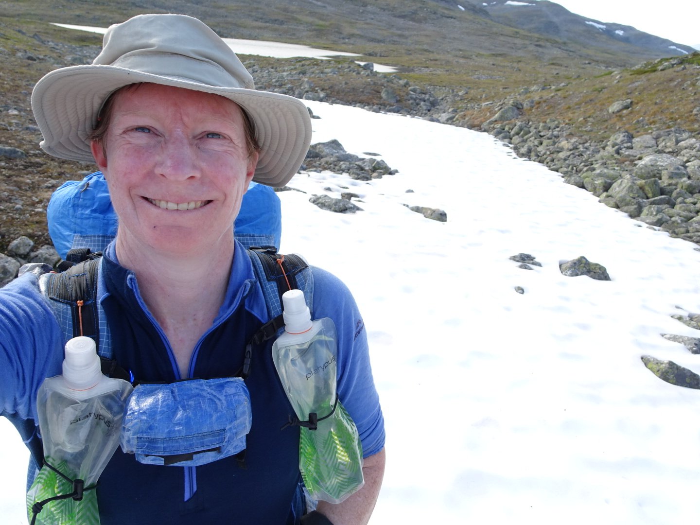
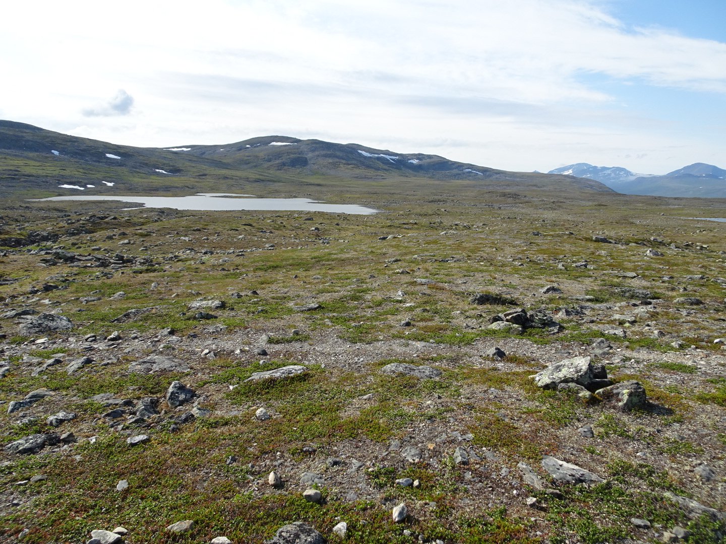
Still patches of snow around
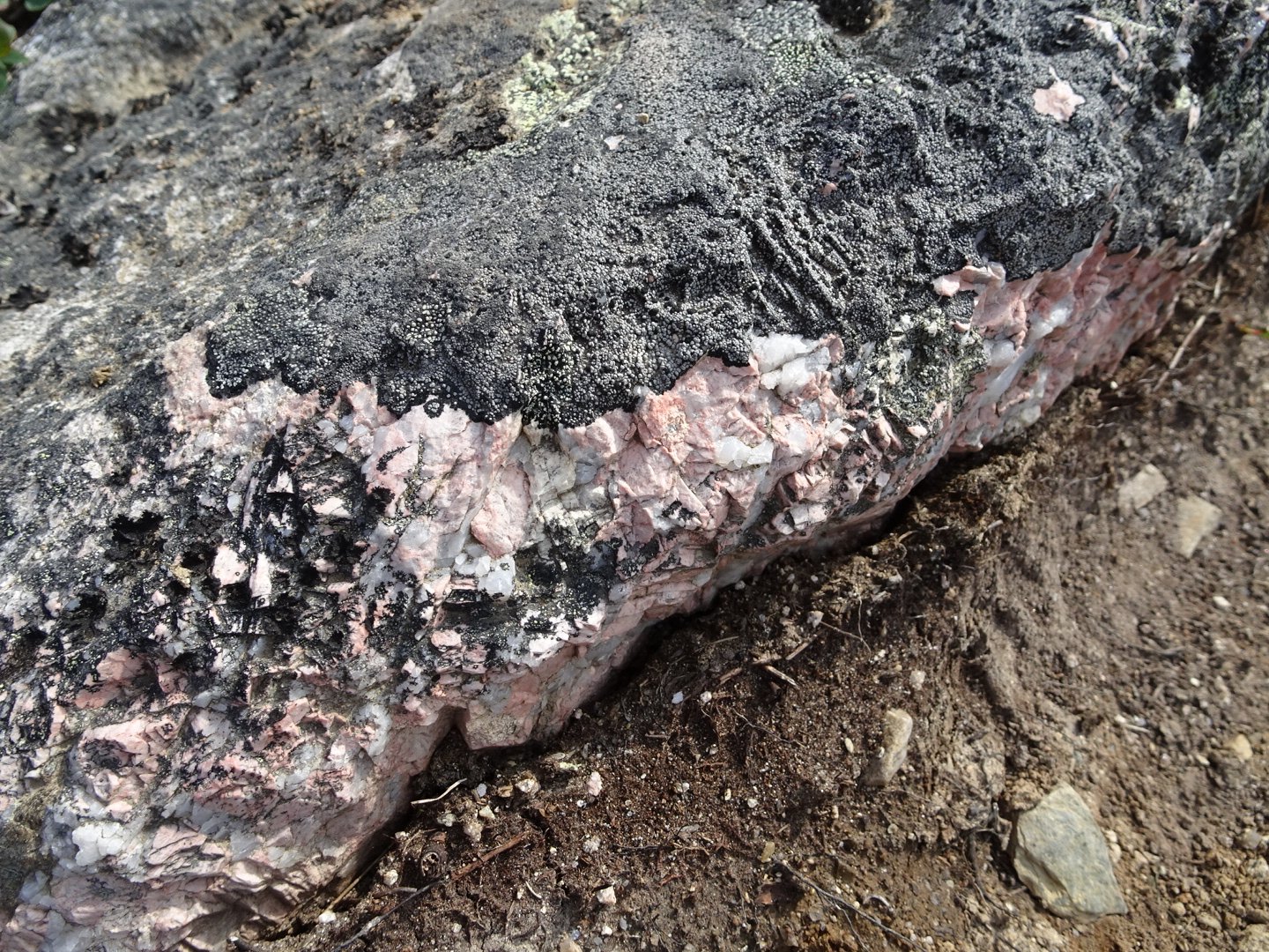
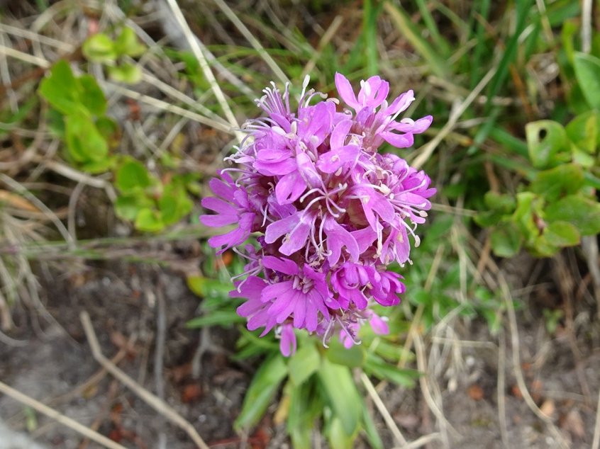
Pink rocks
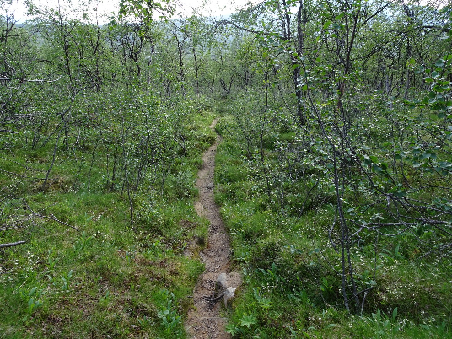
Hut just visible at the bottom of the hil after the trees
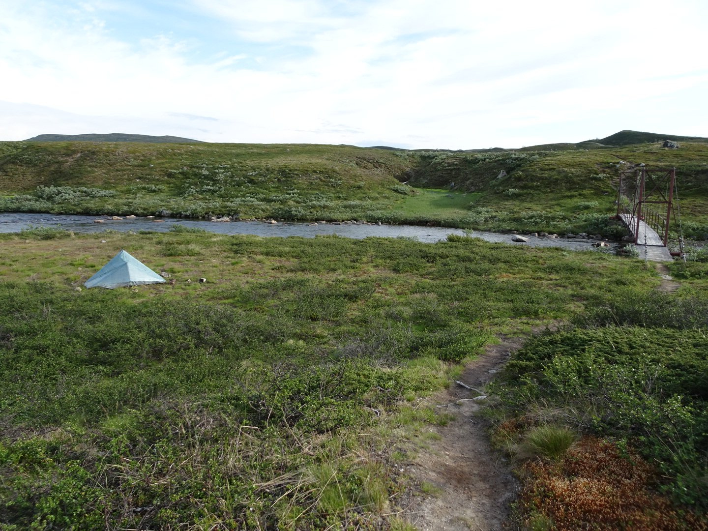
The price was 400 SK so I passed and decided to walks another km to the bridge over the river and there was a fantastic campsite next to the river.
As the wind was getting up a bit I make use of the rocks scattered around to reinforce my pegs. Unfortunately one rock right beside my tent had an ant nest under so I quickly put the rock back and kept away from that area. The ants settled down again after 30 min and didn’t invade my tent.
Today I felt strong but my knees were hurting on some of the steep downhills, possible because of the extra weight of 6 days resupply.
Dinner was the packet of chips I carefully carried and some lollies
Visits: 282