
Day 37 – 26 Jul, Unnamed river W of Sarajavre to hill 1.5km from Vajsaluokastugan Hut
(41 km, total 961 km, 12 hours, 0815 to 2115 but with 1 hour stop at Vajsaluktstugan hut which is not being counted).
It rained on and off most of the night and I woke to overcast skies but good visibility. My decision to stop early seems to have paid off.
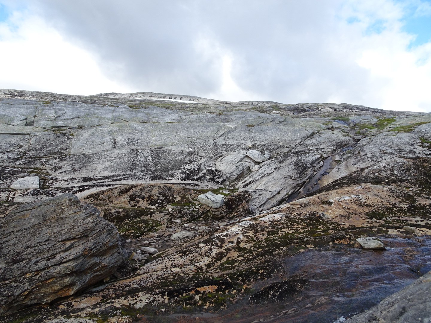
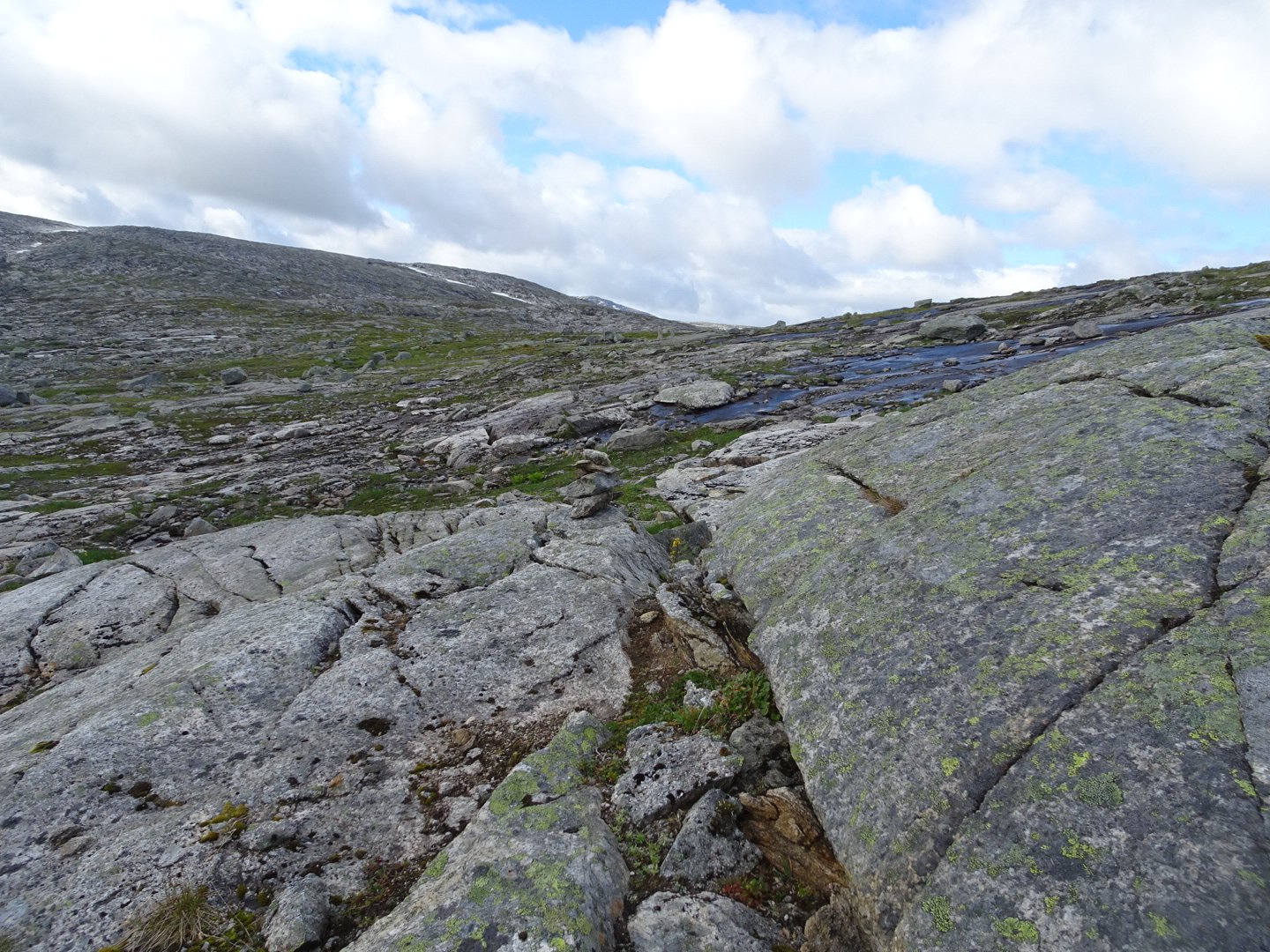
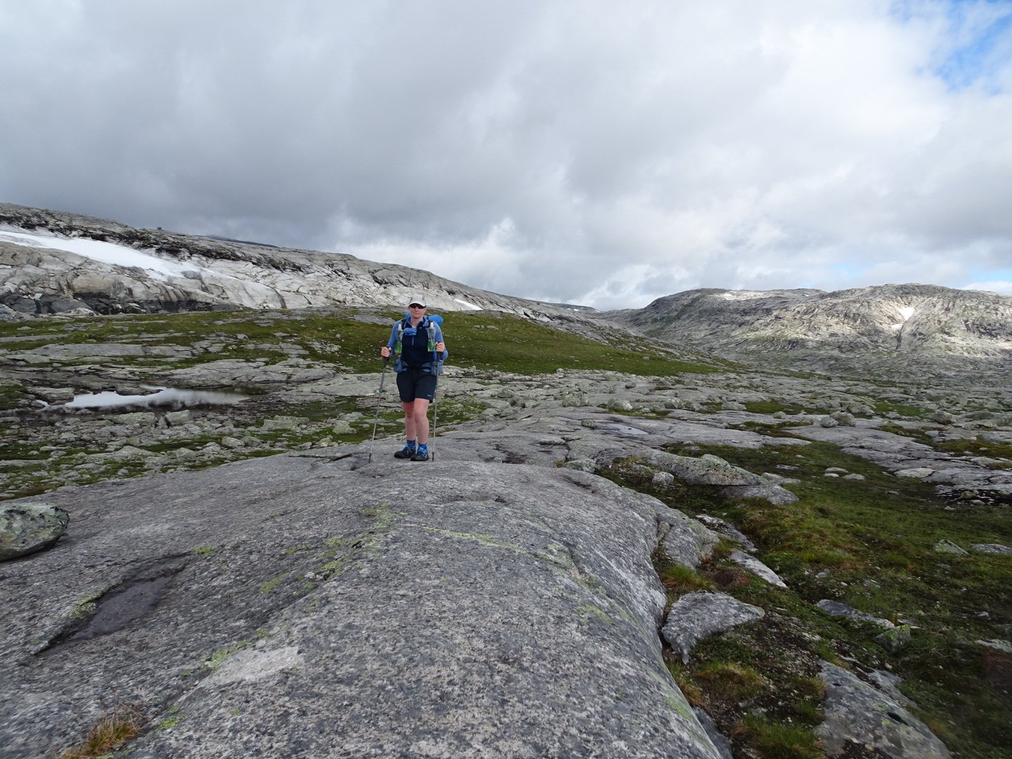
It was straight into a climb and descent over a hill that could have been quicker to go around. Then the real climb started. It was nearly 3 km of climbing and I was glad I had good visibility as some of the markers were very far apart. It was the rock slabs again and the trail zig zagged between them. There was no track on the ground so it was find your own route between the markers.
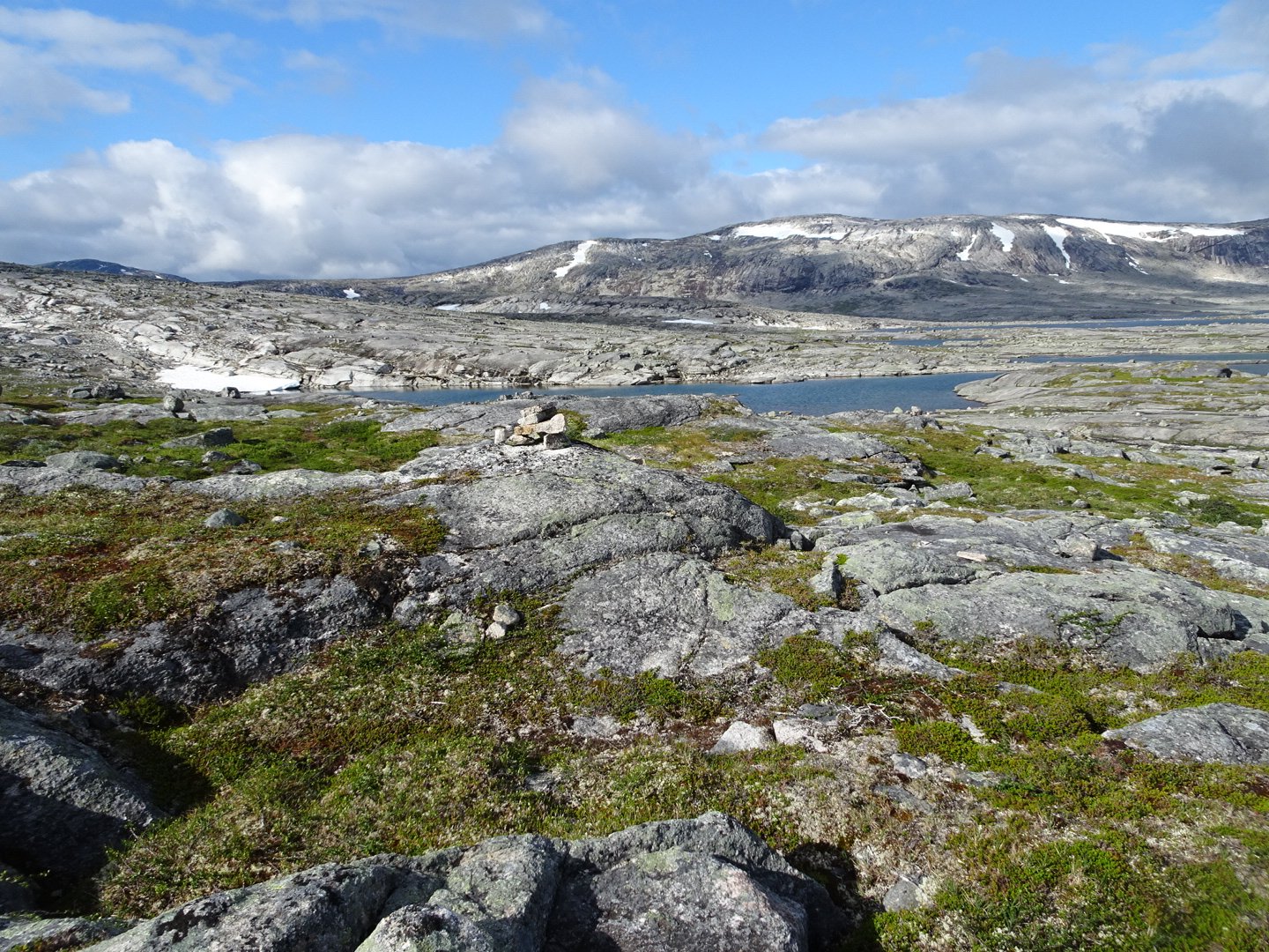
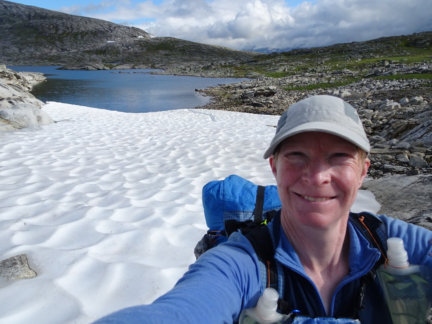
Near the top were some lakes and a final push to the top of the saddle. I was feeling strong and seemed to have my energy back, whether it was the extra food yesterday, or the short day, it worked.
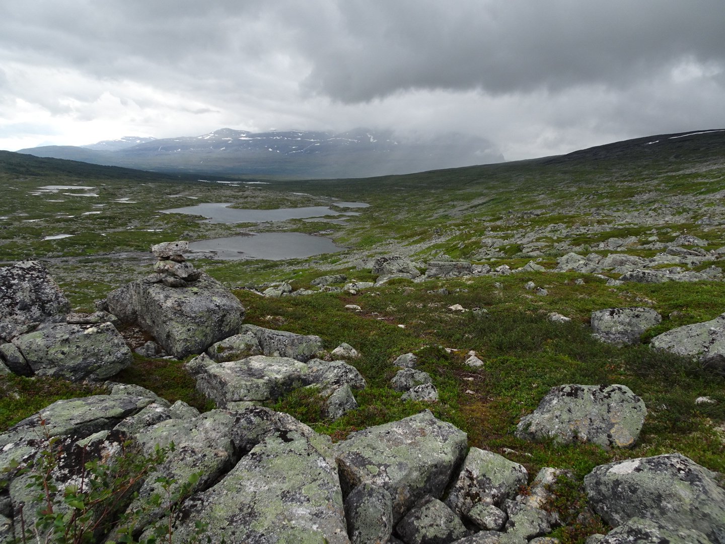
The trail started descending and there was now an occasional track on the ground. There was one strange route choice taking me down to where a river met a lake to cross then heading up again. There were plenty of crossing places that would have let me keep my height.
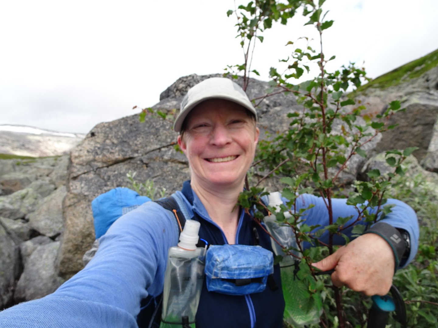
The first tree I have seen in while
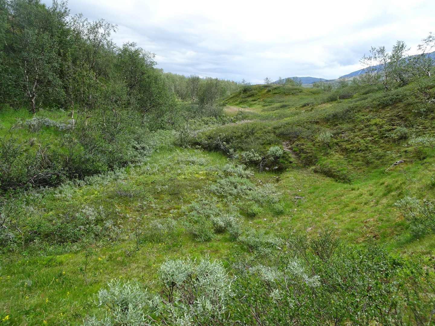
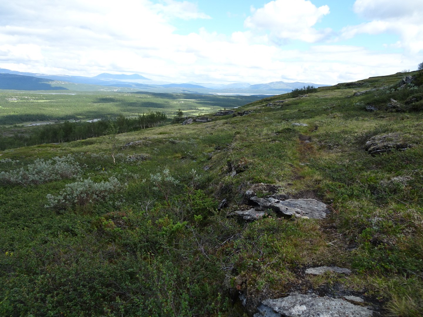
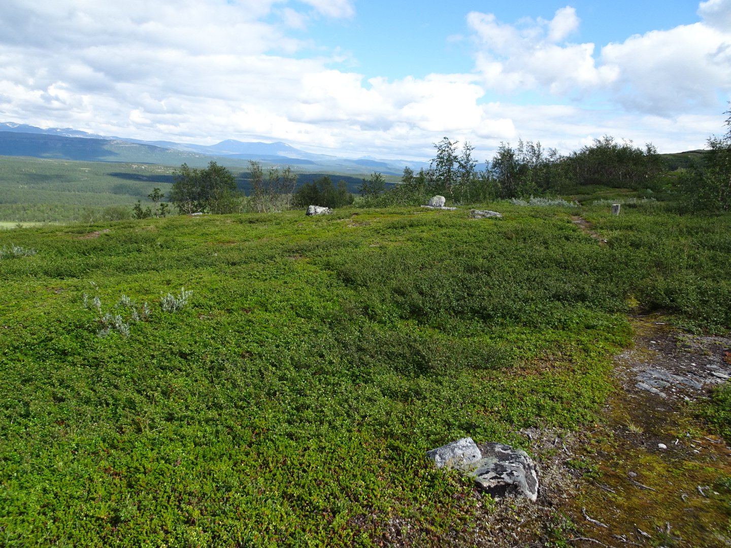
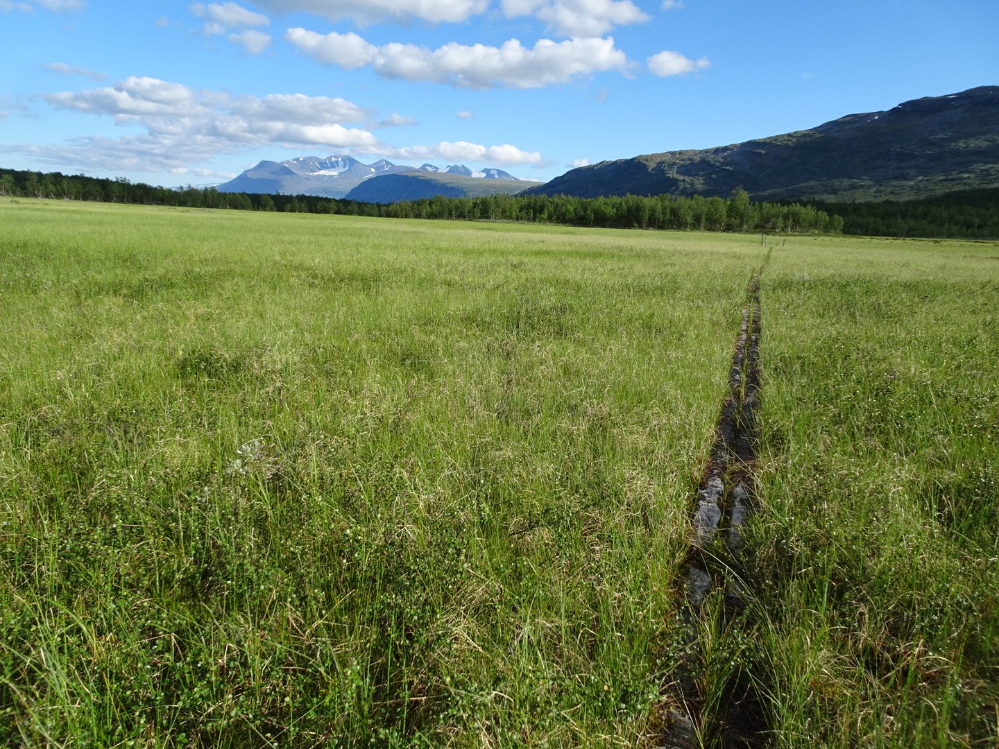
Now it was going along the side of a large hill and the trail was well marked and there was a decent track for most of it. There were no big ups or downs and I felt like I was making good time, and was enjoying the view of a forest and river below me and a mountain ahead.
6km later and the trail started dropping off the end of the hill. Here I had a choice to follow the trail which turned and headed west to abridge then all the way back again, or cut across country directly through a river and re-join the trail. As Norge pa Langs has no fixed route I decided to go for the shortcut. The only effect is I have to recalculate the 10km marks on my map to adjust them the 3 km that I saved.
The going was relatively easy and I followed a series of rocky patches to avoid the swamps until getting to aside stream. Just as I approached the side stream a large brown animal that I think was and Elk (Moose) disappeared over the hill. I dropped into the streams valley and followed that to a large swamp beside the river.
Just as I reached the swamp I saw two Elk react to me and run away. They are a lot more clumsy looking when they run than the graceful Reindeer.
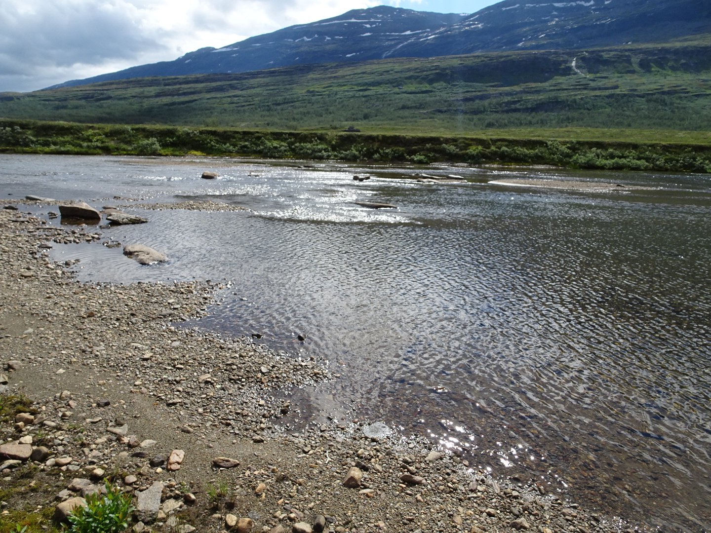
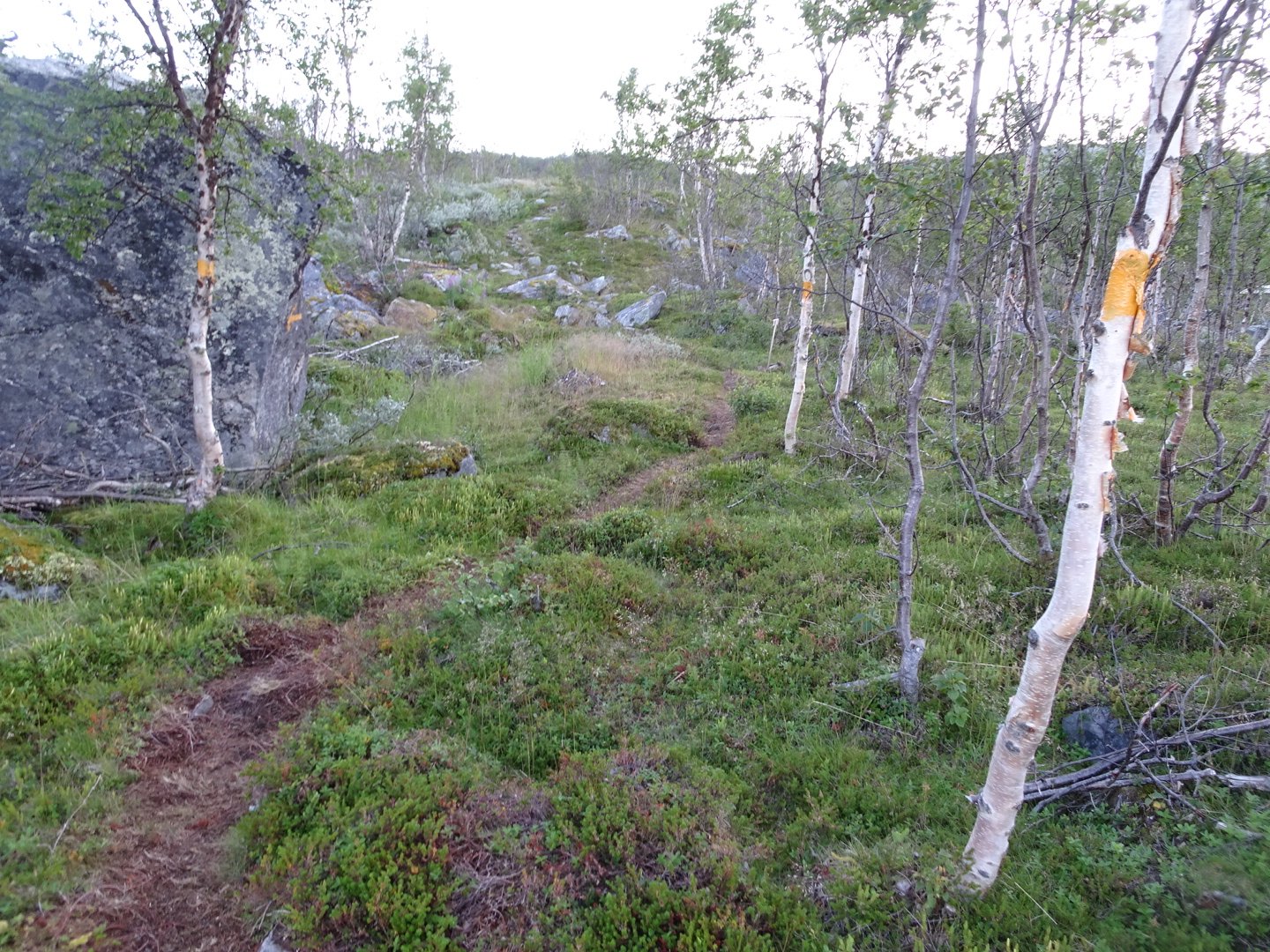
The river was easily crossed and I headed up the hill to find the track. It was a bit higher than I was expecting but very clear when I got to it.
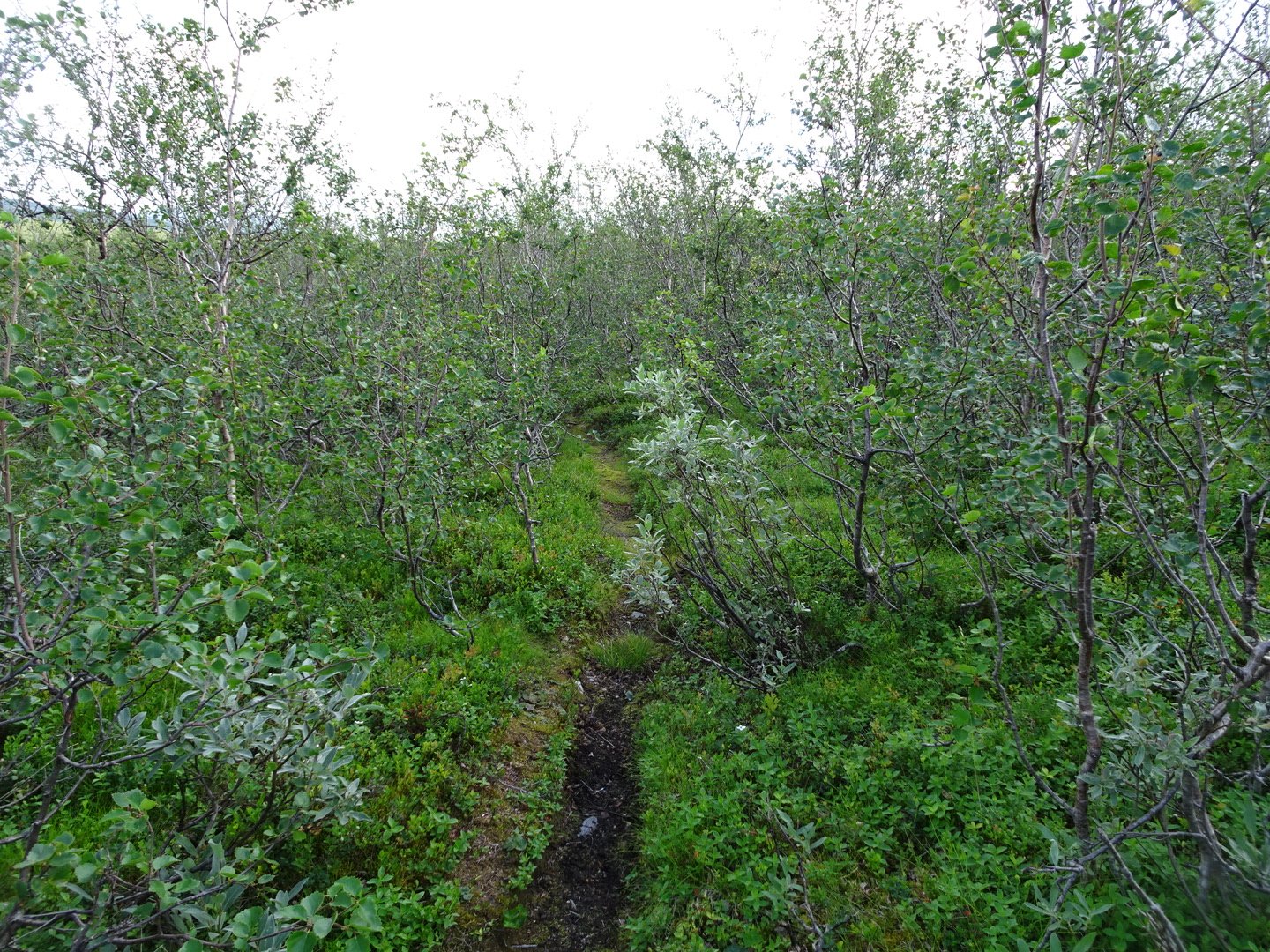
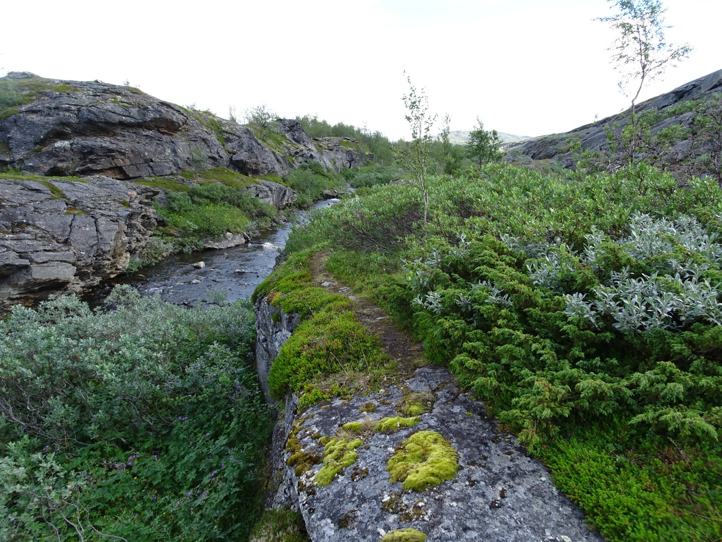
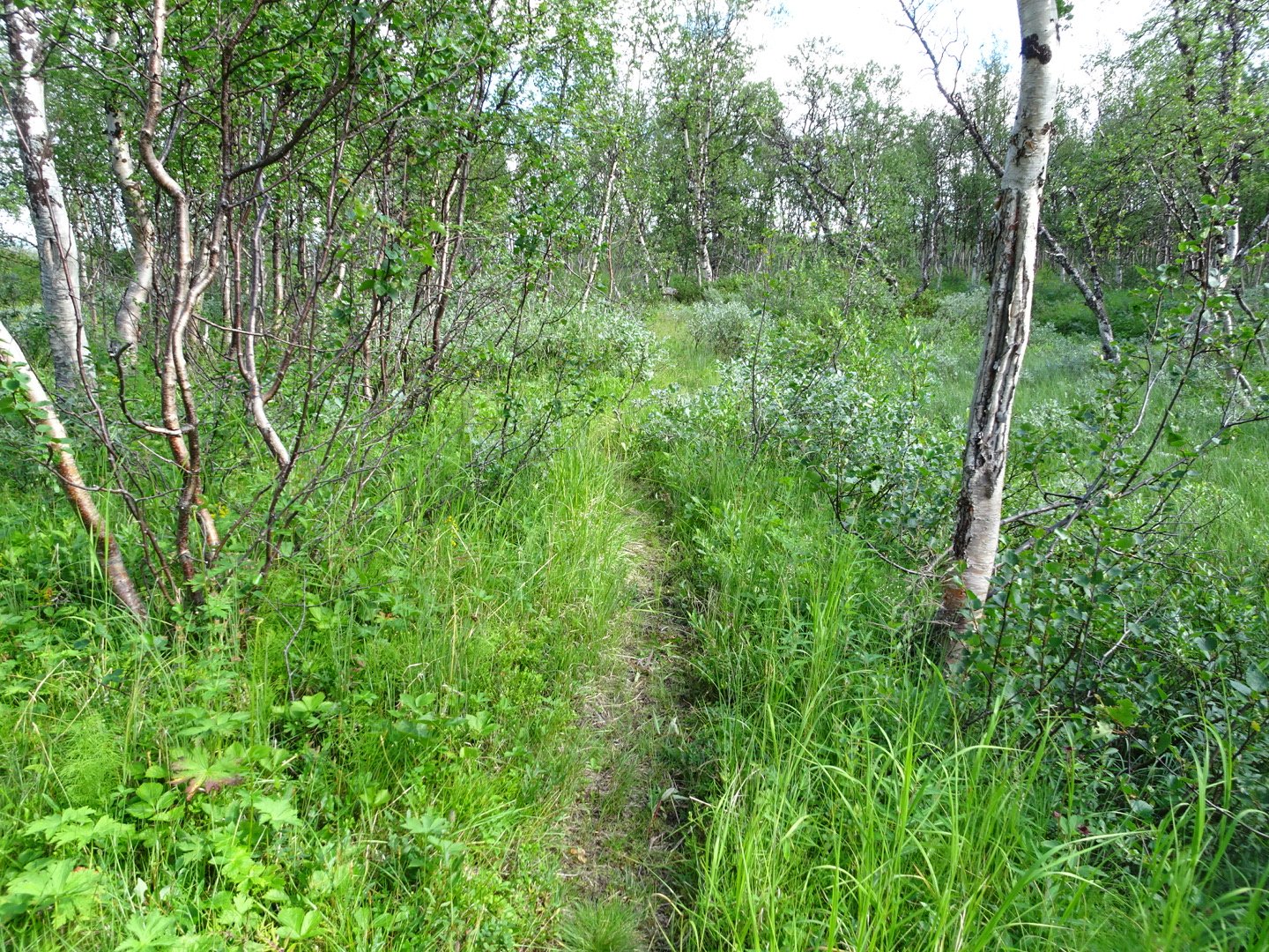
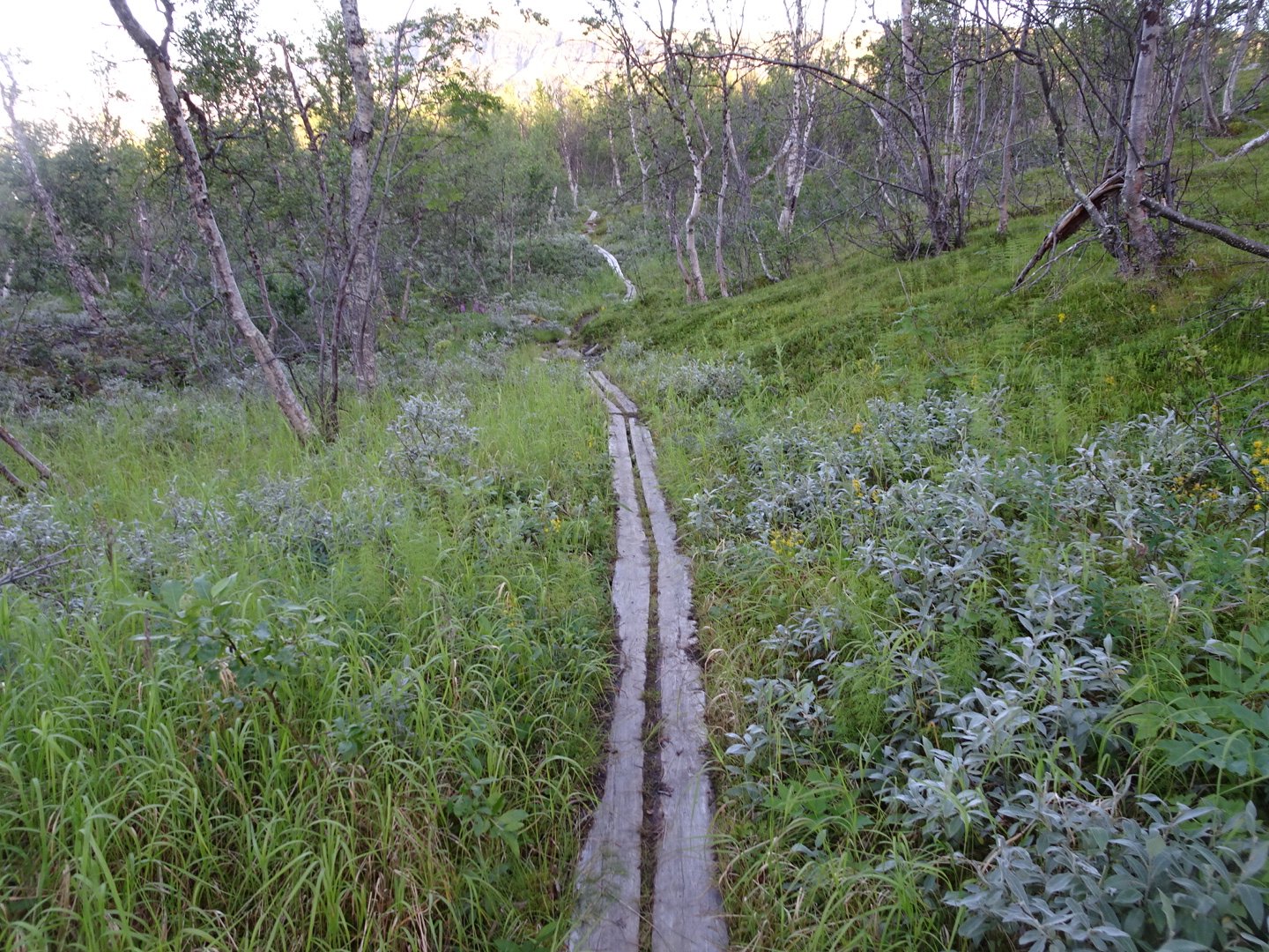
I was now following a defined track through small trees. The track was quite overgrown but still easy to walk on. The track alternated between open area and trees, some the small ones encroaching on the track and some a bit larger.
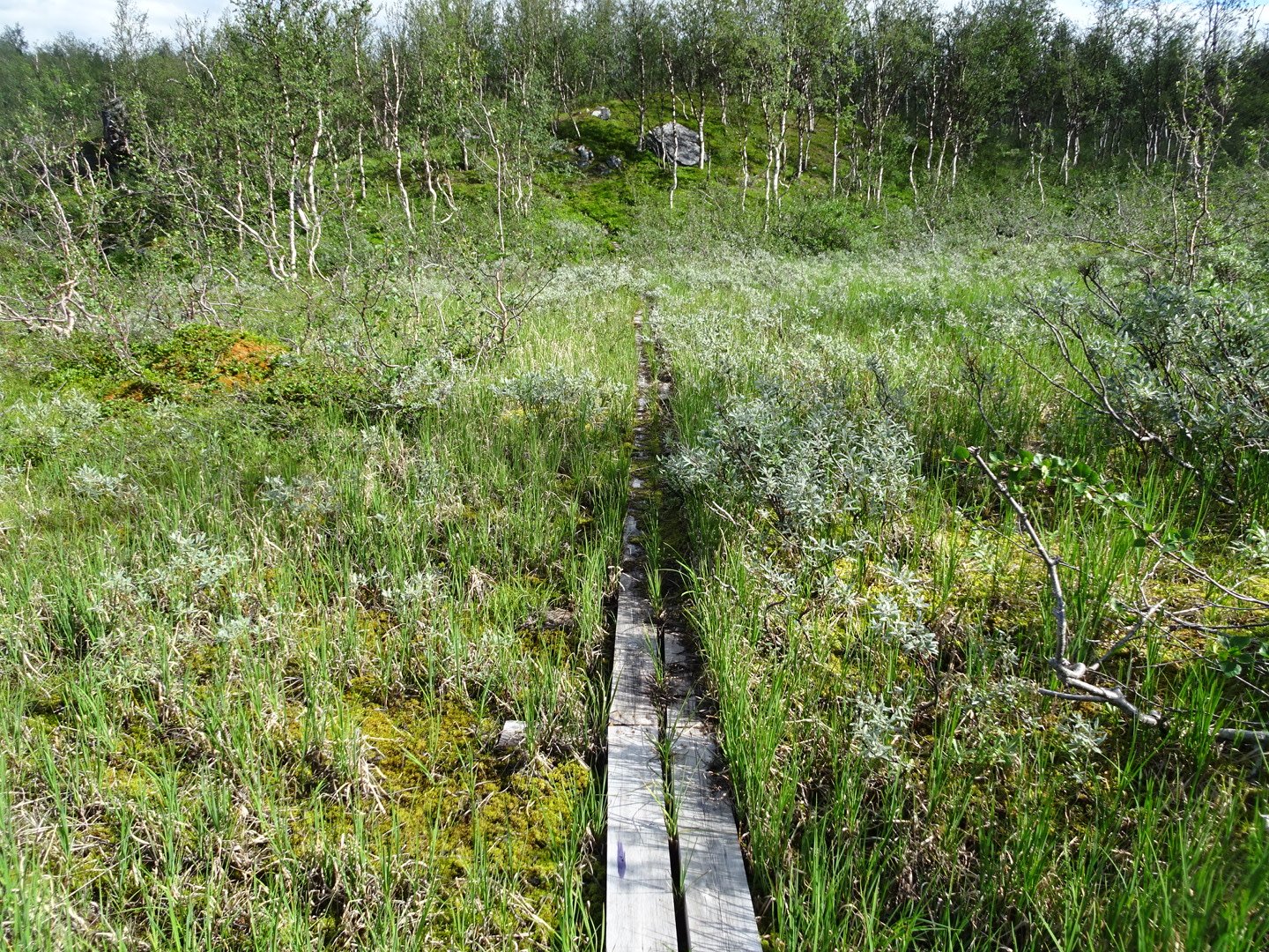
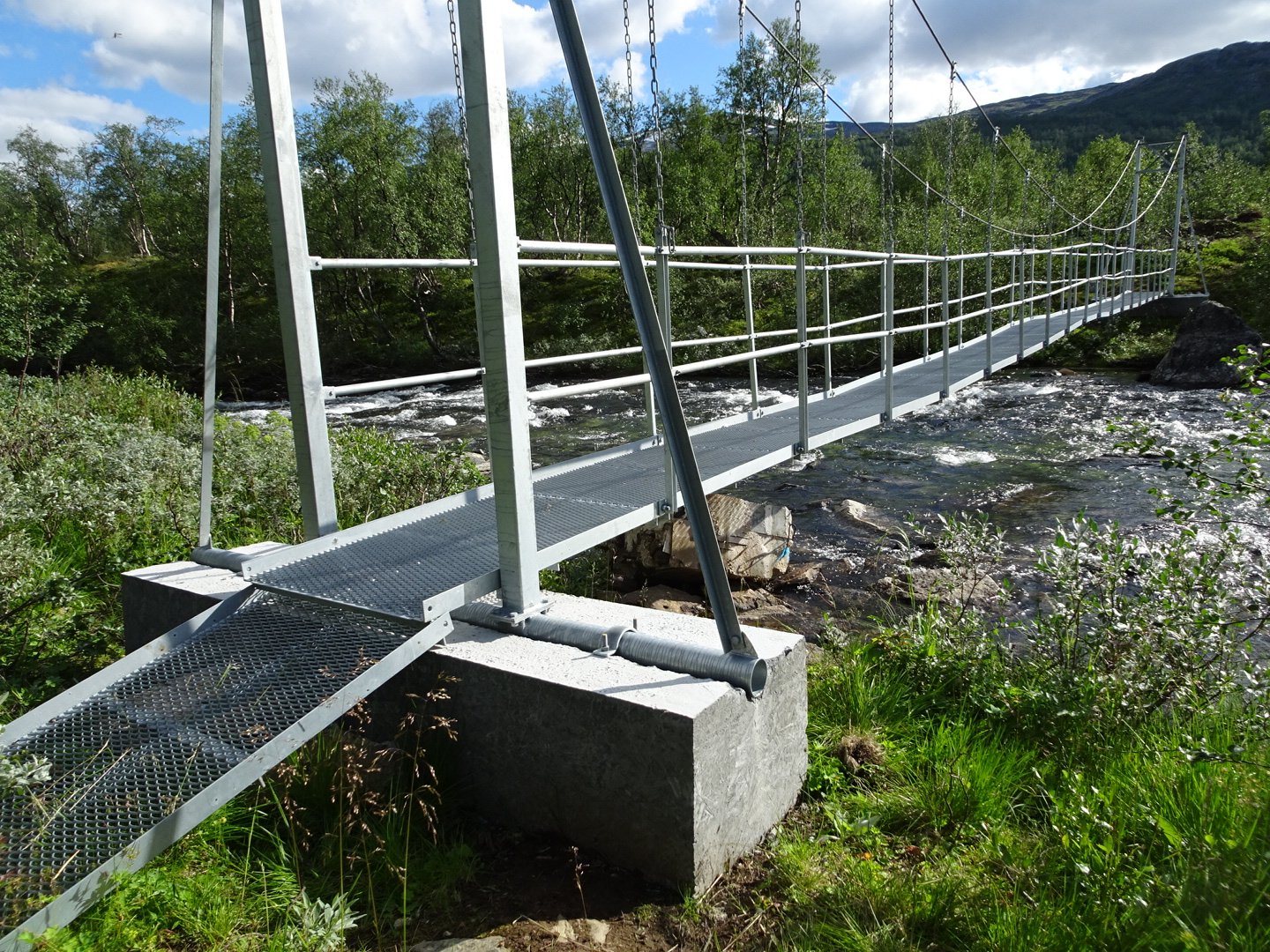
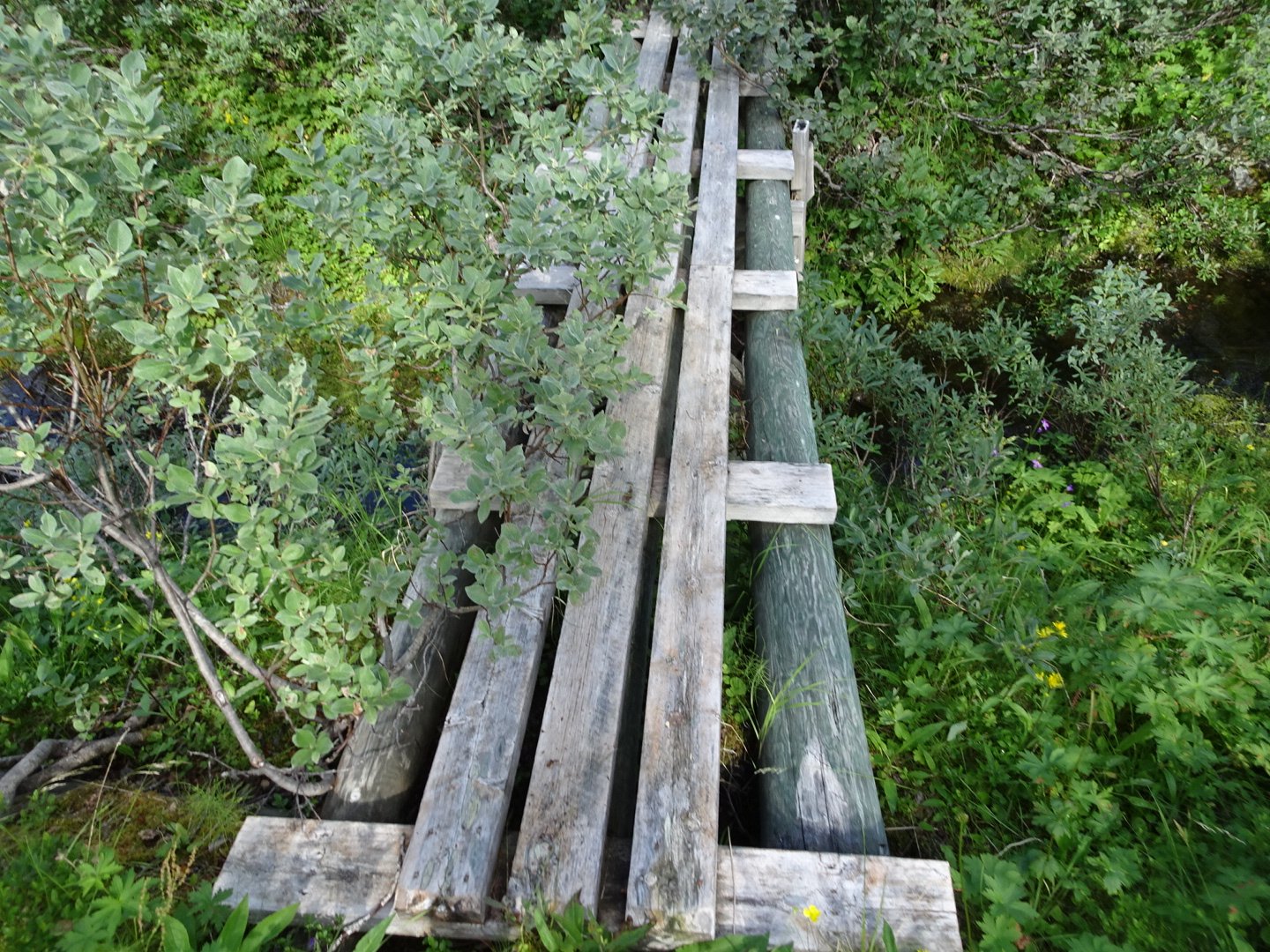
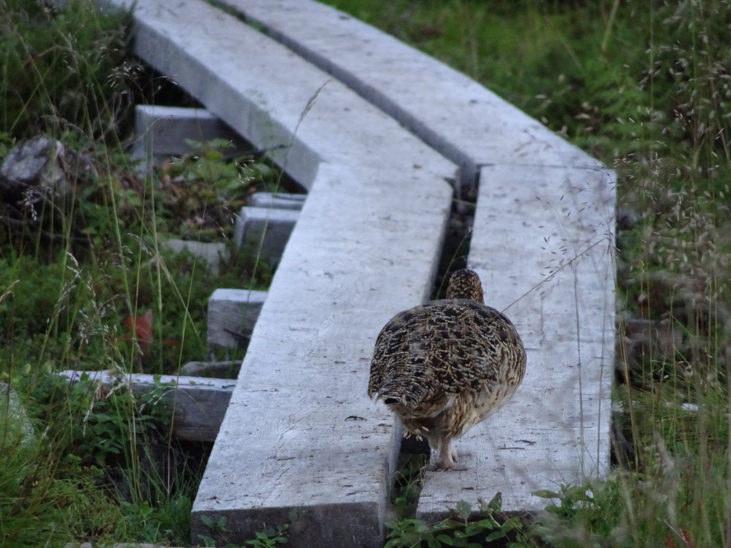
I was really enjoying this part of the trail and it felt like I was flying along. There were several bridge crossings and a few streams to splash through. The swampy areas mainly had boardwalk.
I stopped on an open hill to have my lunch, reduced from normal. It was hard to put lunch away when I still wanted more.
The trail continued in the same manner for around 12 km, though at one point the trail maintenance had been done and there were no more overgrown bushes. Then the track started descending to a lake with a neat little two person emergency shelter. It was spotless inside. It was simple with two wood beds and a small table but would be great on a wet night. There were three Finnish Men there who were very talkative for Finns. They were on a fishing hike and tended to make their own way rather than taking the trails.
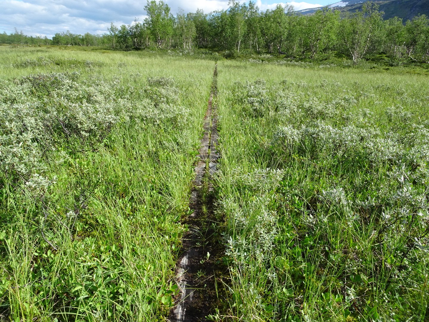
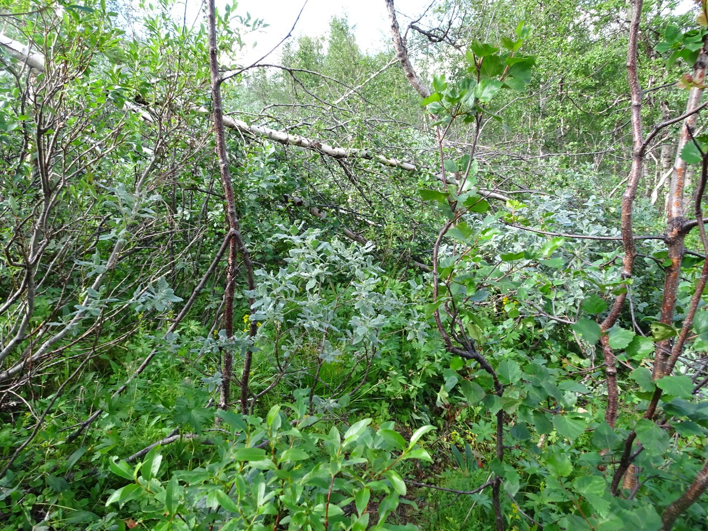
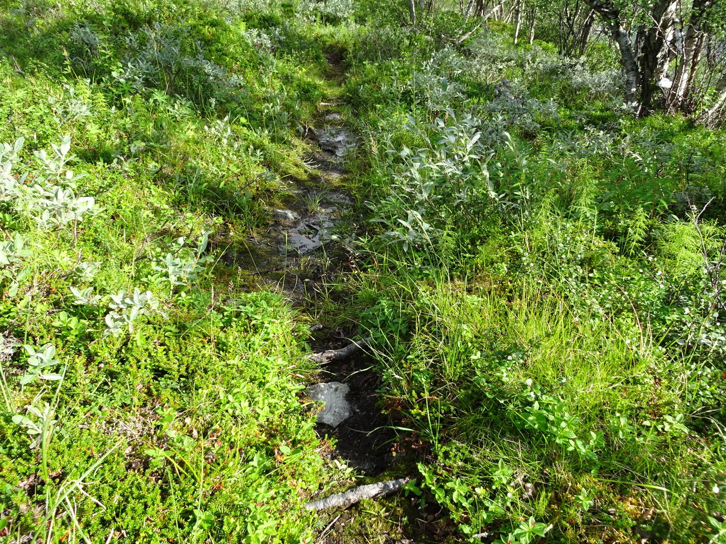
I only stayed talking about 5 minutes before leaving. Unfortunately the dream track was over because it was now lower down there were frequent swamps and the track was more rough with rocks and roots. Many of the boardwalks across larger bits of swamp were well under the water and not doing a lot of good. There were a few sections where the track went over small hills where it improved but they did not last long.
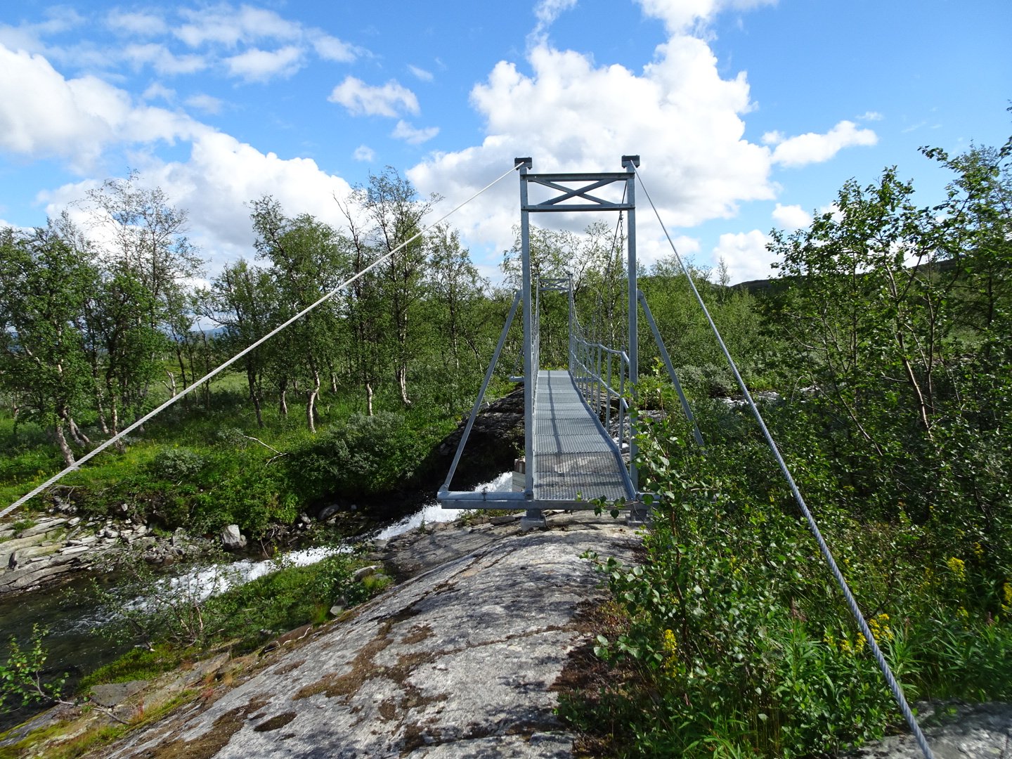
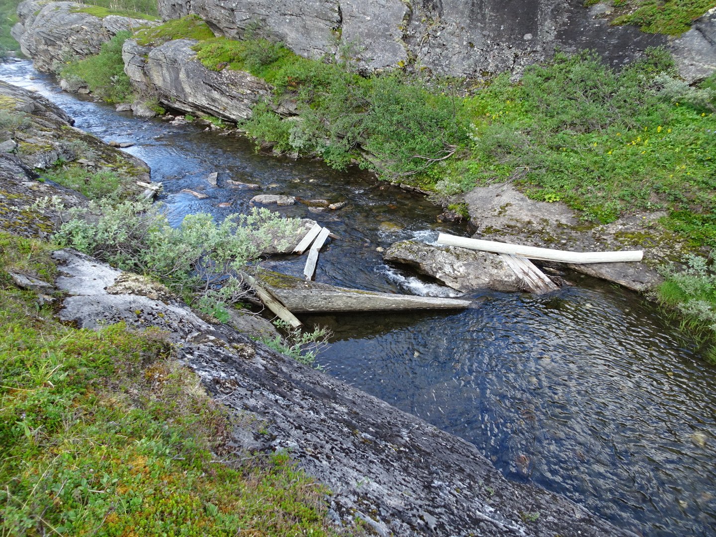
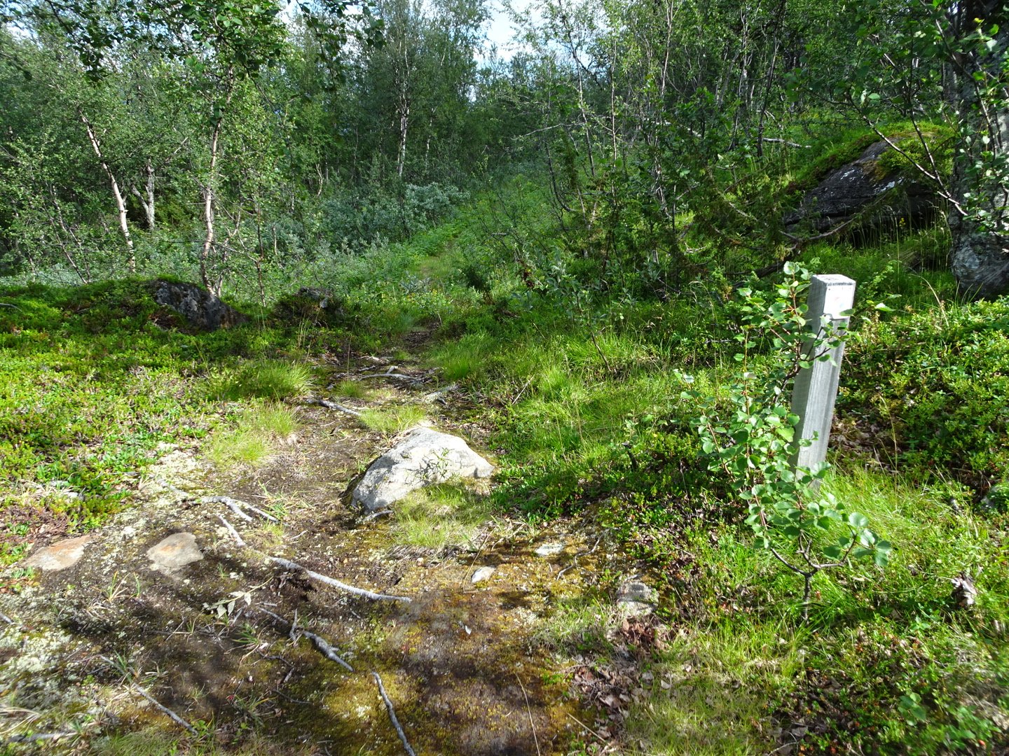
here were a number of bridge crossings which helped to keep track of progress. From the last bridge crossing the track seriously deteriorated with multiple swampy bits with no boardwalk and where there was boardwalk it was crowded by the bushes which were scratching my legs as I walked, and the vegetation was very overgrown and it was difficult to push through at times. It seemed like they were trying to discourage people from walking the trail by having the first 3 km in bad condition. The last 3km my pace slowed to 3km an hour, much less than normal.
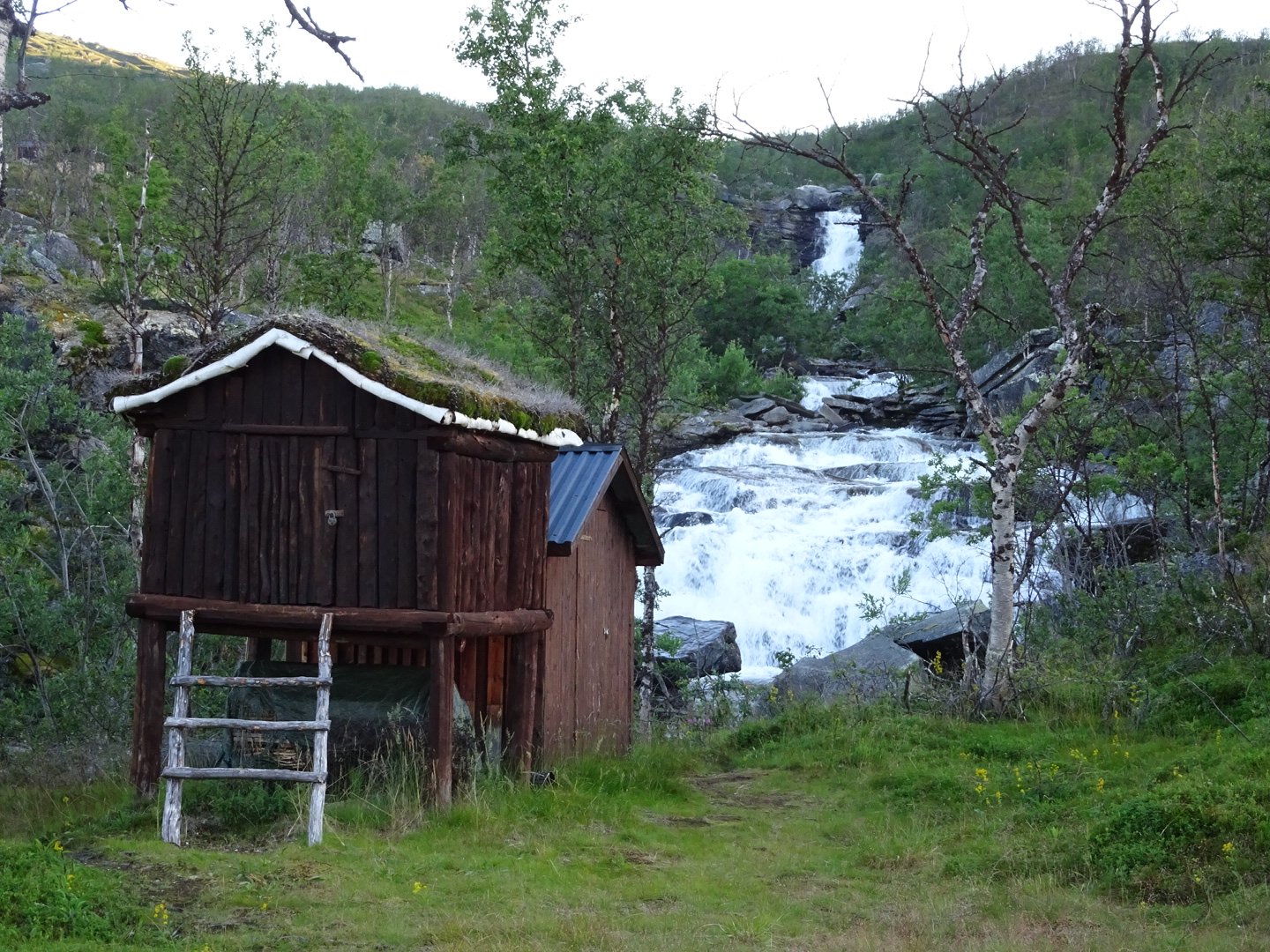
The trail passed several cabins before reaching the STF Stuga (Swedish Tourist Federation Hut). There were some people sitting at a picnic table and I approached them. One lady got up ready to show me around until I said I was not staying. She asked if I would like a Lemonade before I left which I accepted. The Swedish huts have volunteer Hut Wardens and she was one. Unfortunately I did not write down her name which I think was Ingen (sorry if I got it wrong, send me a comment and I will fix it).
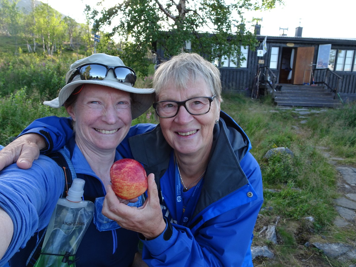
Trail angel
I downed the lovely tasting drink very quickly. It was lovely to have something other than water. We then got talking and there was three other people there, a Norwegian Couple doing an 8 day hike and I missed what the other man was doing. They were nice company and it would have been nice to stay with them but the Swedish huts are expensive and I can not stay in them all the time. Before I left my wonderful trail angel offered me another drink and also gave me an apple which I am currently enjoying. It tastes so good after not having had any fresh food in so long. I don’t think she realises just how much her gift was appreciated.
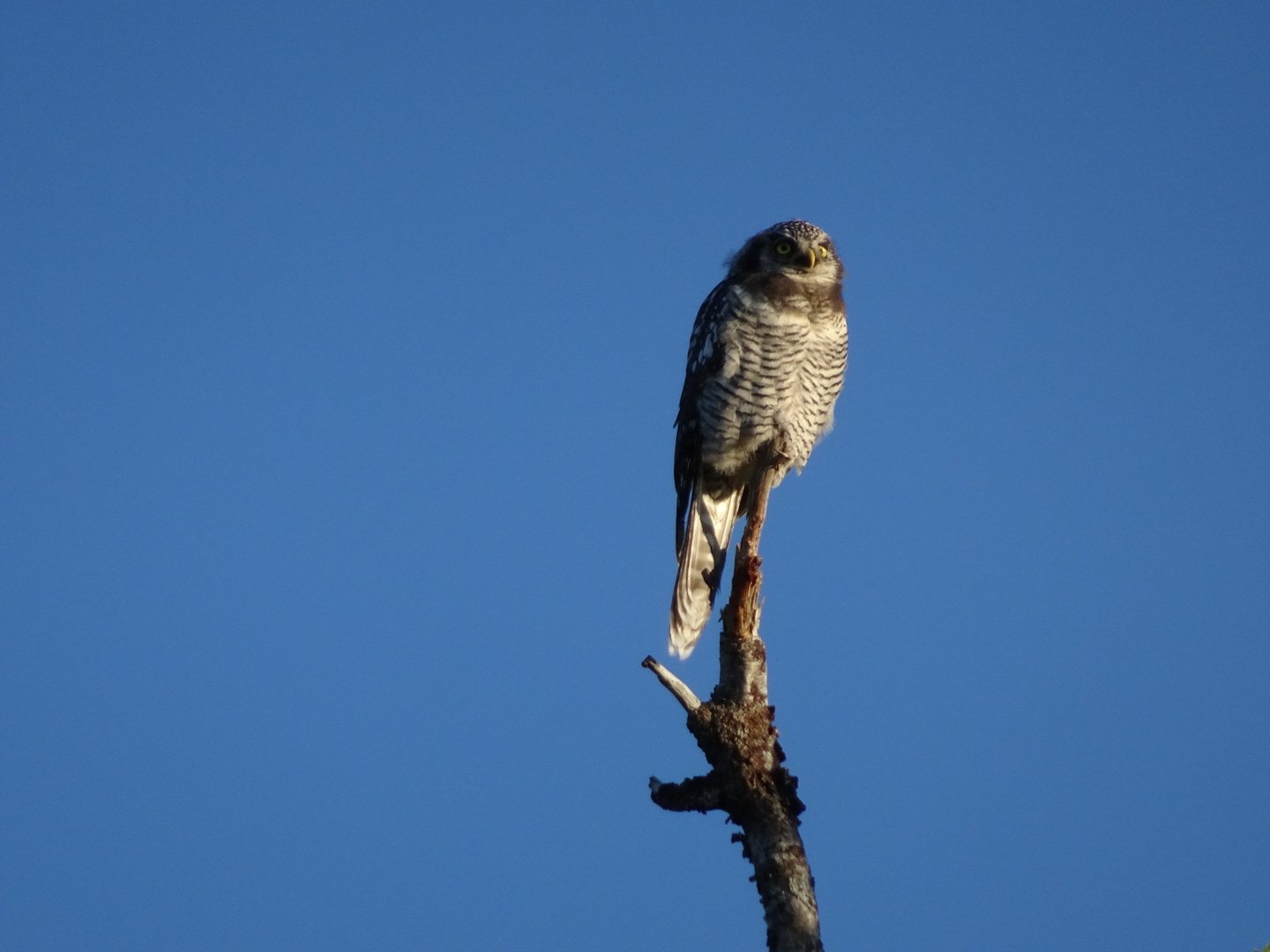
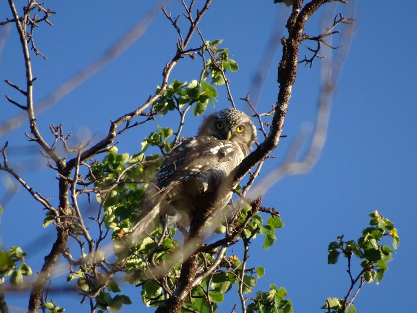
I followed the track which was now in much better condition. It undulated for a while, passing many huts. I saw some birds swooping around and making some strange noises and was happy when they landed nearby and I saw they were Owls.
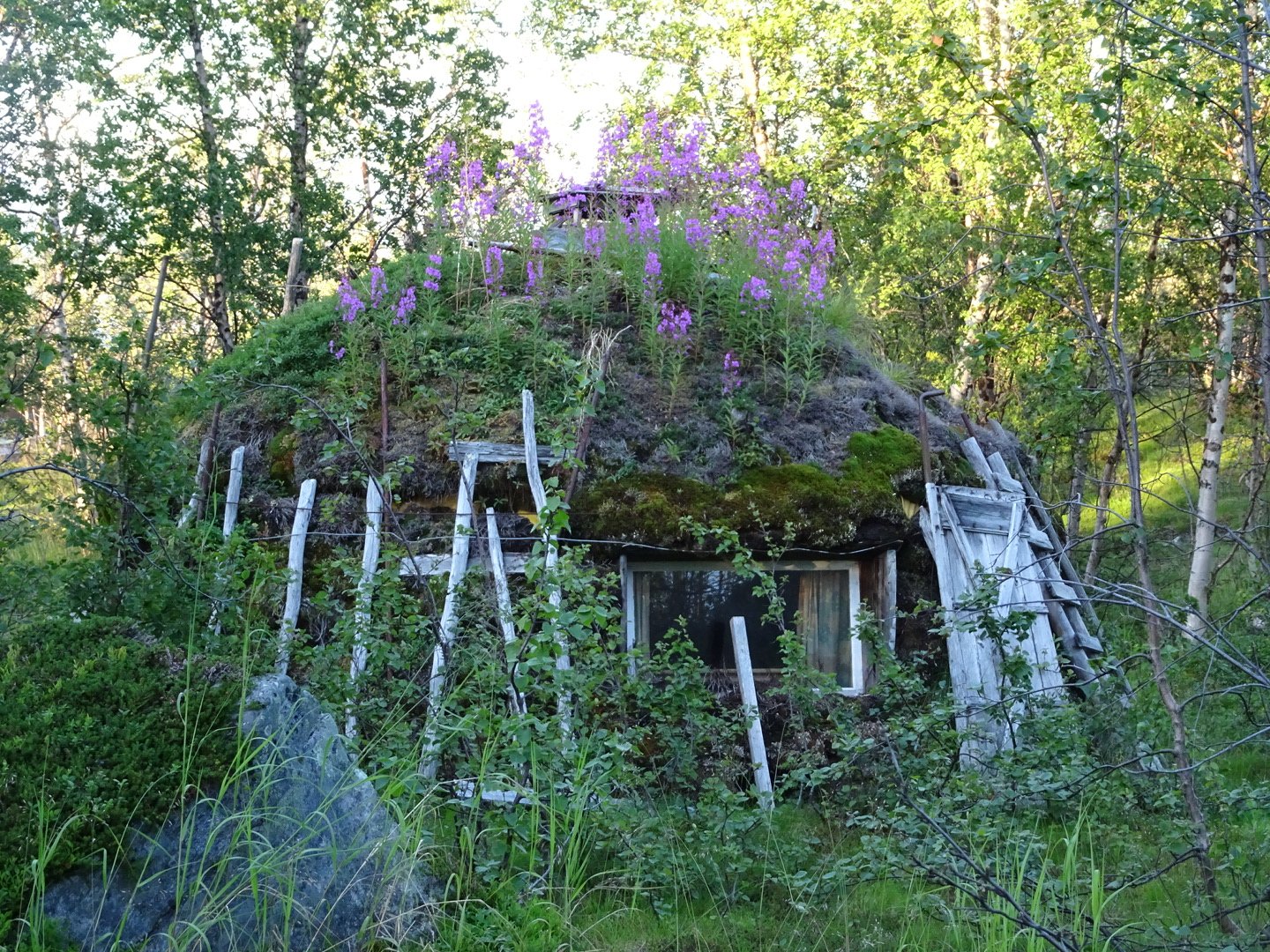
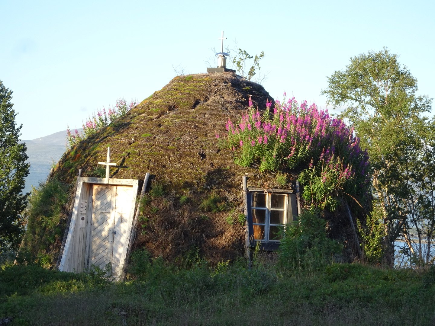
The track then went through a Lappish (native people of Northern Sweden) village with the cutest church. All the houses were well maintained and it looked like a nice place.
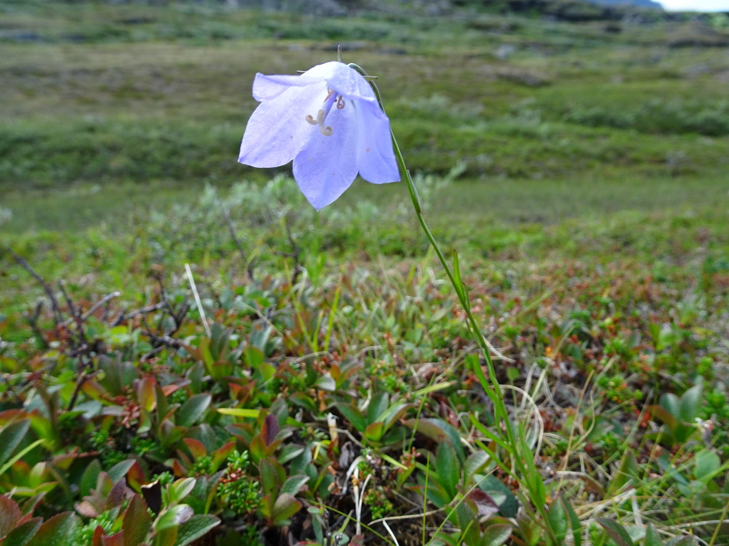
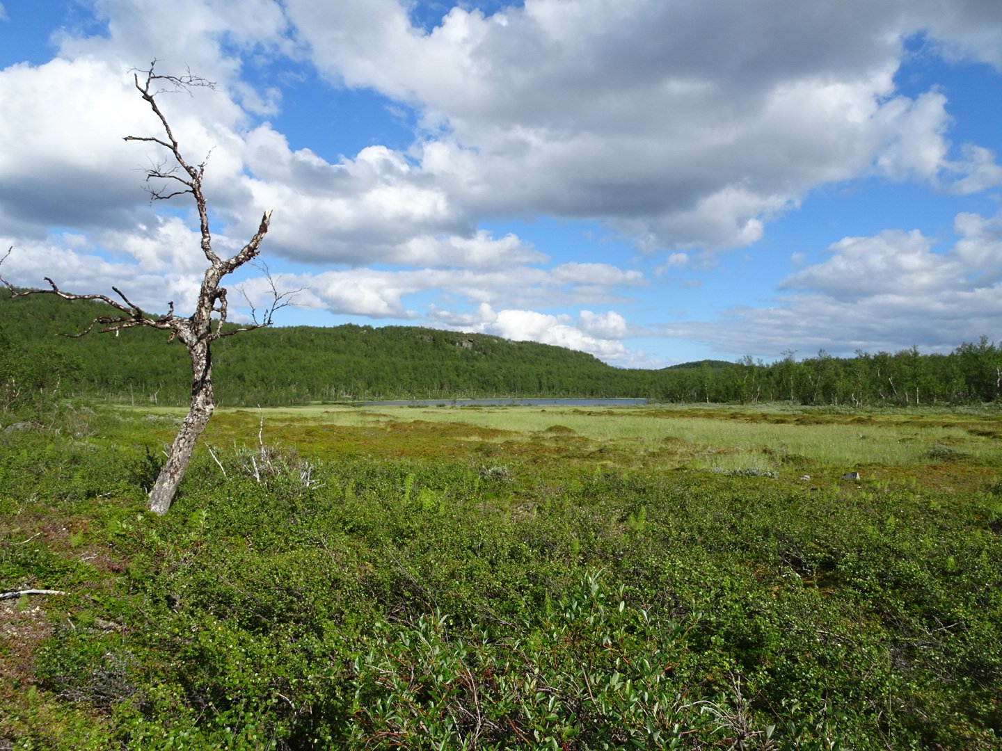
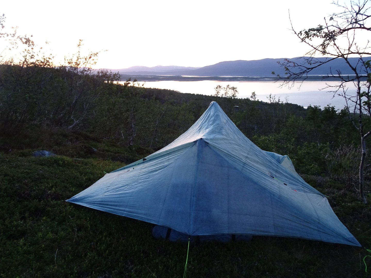
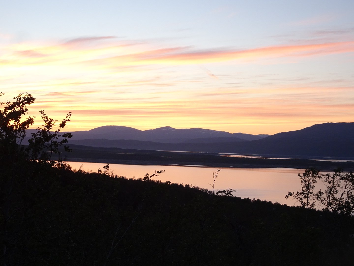
Then the trail started climbing. I was feeling good but did not think I wanted to do the whole climb so when I saw an inviting flat spot with views of the lake I set up camp.
There is almost a sunset with the sky having an orange tint to it which is reflecting off the lake – beautiful.
Views: 261