
Day 36 – 25 Jul, Skuogejavre Lake to Unnamed river W of Sarajavre
(23 km, total 920km, 8 hours, 0730 to 1930 but with 4 hour stop in hut, only one hour of this is included in daily total as this is normal lunch hour)
It had stopped raining in the early hours of the morning and while overcast did not look like raining again. I had no mishaps preparing breakfast and was on my way in good time.
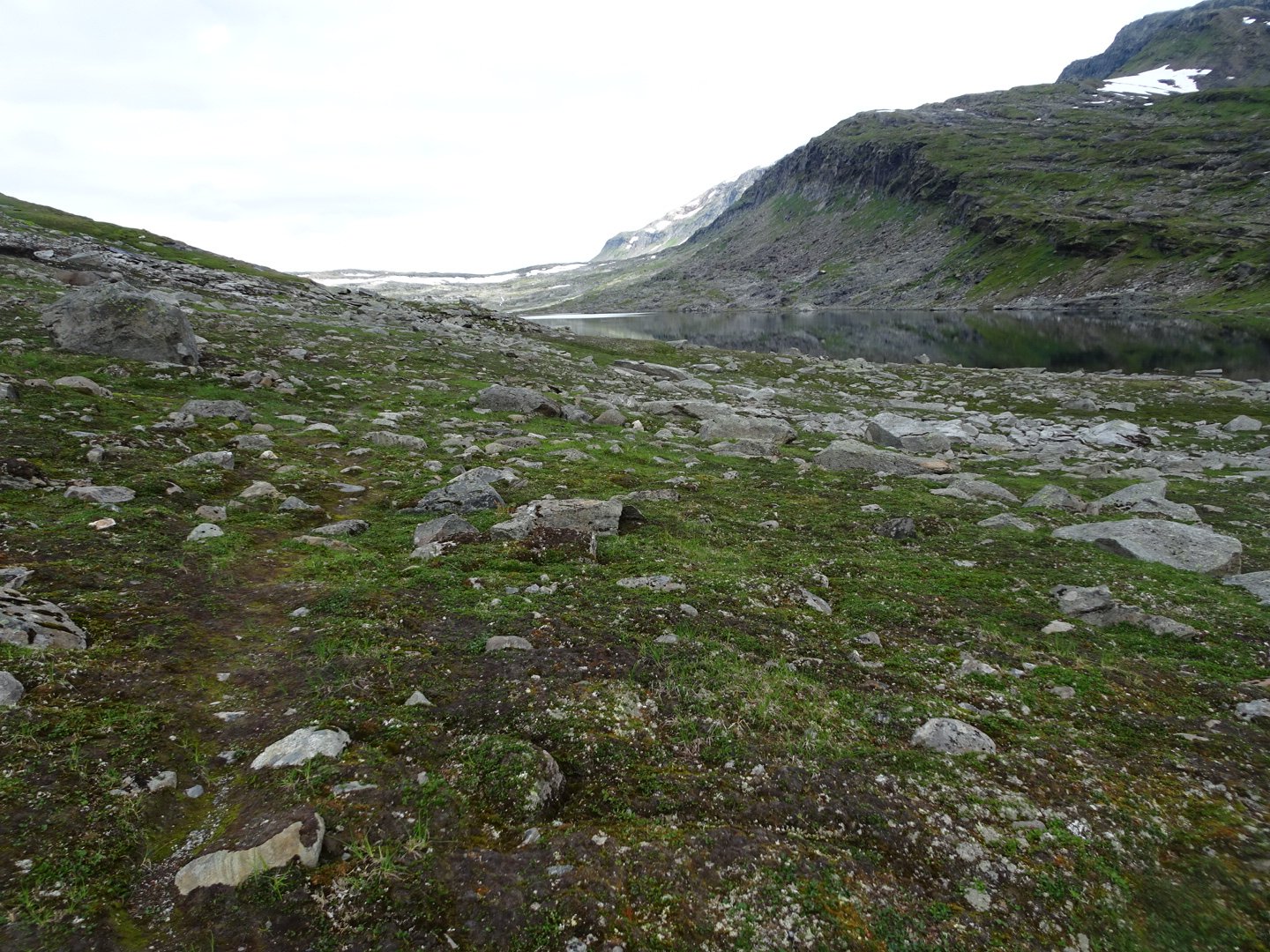
The trail followed the east side of lake Skugejavre. There was a rough track for a lot of it and the marking was better. I am still getting used to the different scale of the Swedish maps and was surprised by how long it took to get to the end of the lake.
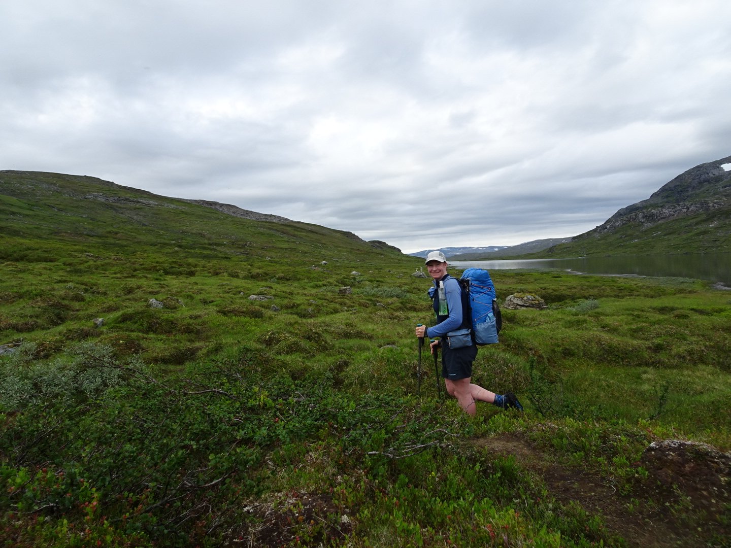
Along the side of the lake I passed the 900 km mark.
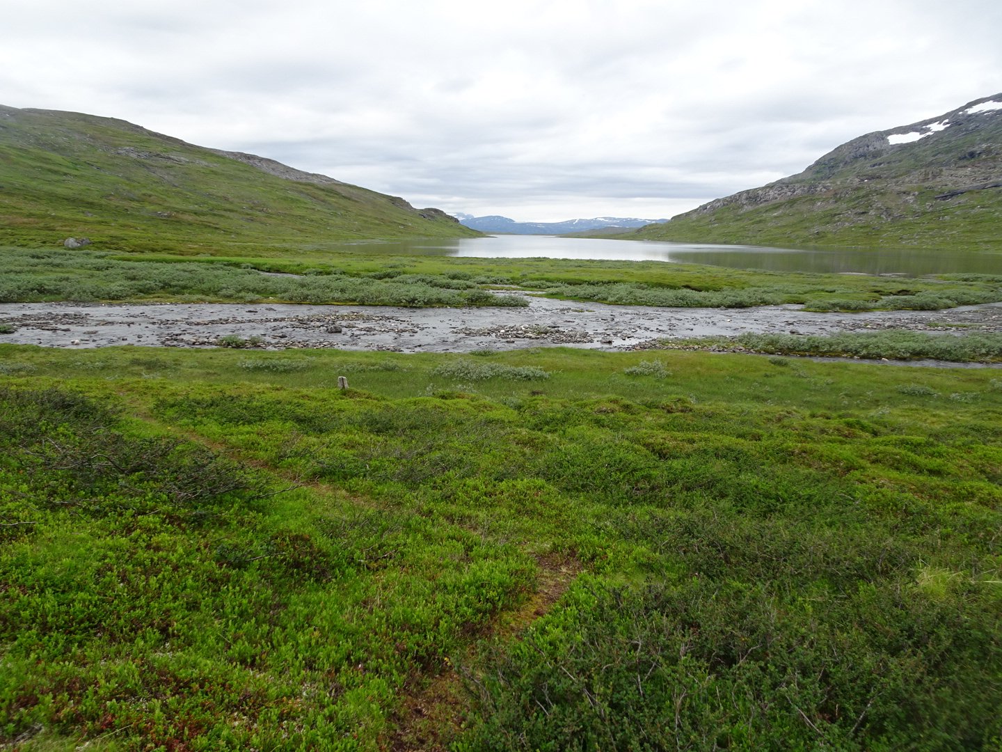
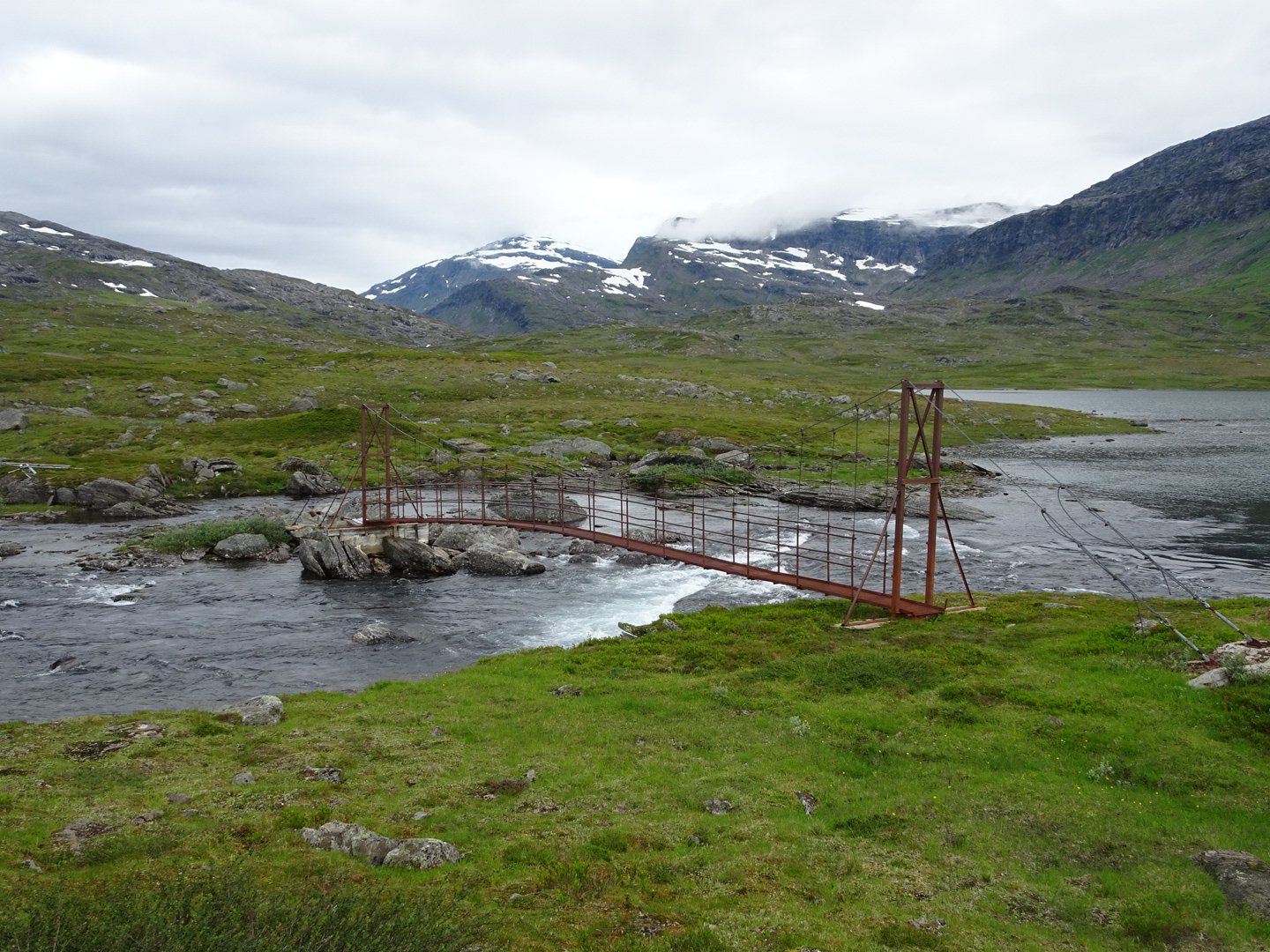
At the end was a bridge over the river and this was a solid looking bridge, much more reassuring than yesterdays bridge.
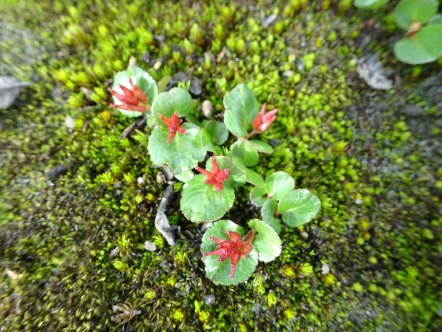
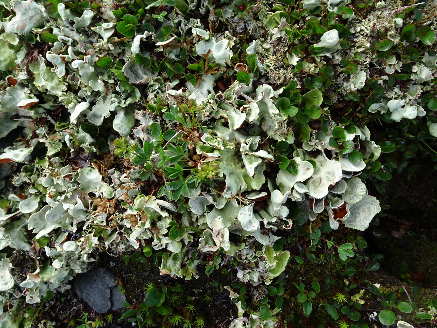
Now the trail headed up a valley above a river and then lakes. The trailmarking was really bad here and I struggled a lot, sometimes just giving up and going my own way for a while before joining back onto the trail. Some of the issues were bad placement, the materials used and the colour of the paint. Usually a marker is placed for change of direction of where the ground track fades away but often the trail changed direction when the ground track faded with no markers in sight. The markers themselves were either a rock on another, sometimes a couple of rocks on another rock and sometimes shards of rock stuck upright. The trouble is this is a really rocky area and there are naturally rocks on other rocks so it is hard to tell if it is a marker or just rocks. Occasionally there was faded paint on the rocks and this was orange. Normally you would expect orange to stand out but here there was a moss that was bright orange and often in nice circles. There were several times I thought I saw a marker but it was just this naturally occurring orange moss.
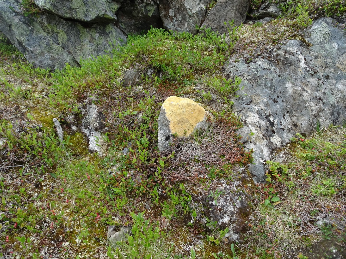
This is moss not paint, though it is the same colour as the markings
Spot the marker
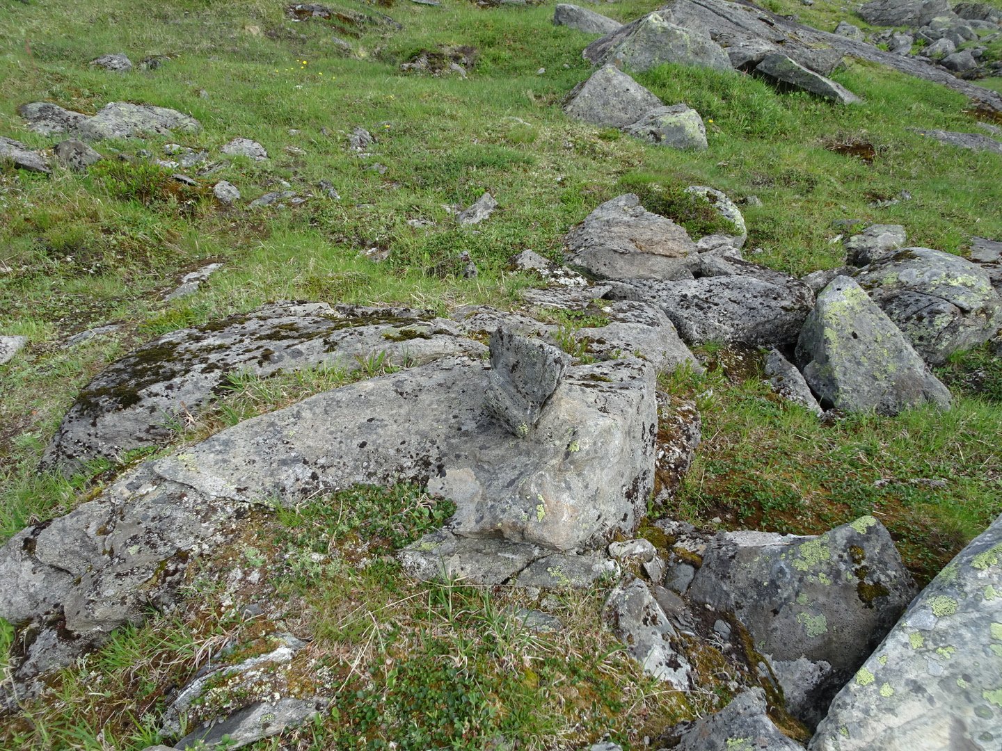
This rock on another rock is a marker
Just before I reached the end of the lake I heard someone yelling and looked up to see a hiker going the other way. This was to be the only person I saw on trail all day. He was way to far away too talk to but I was happy to see him as he would take the boat across.
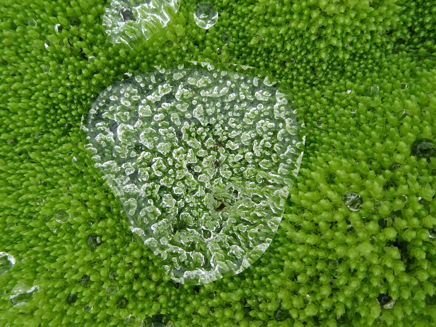
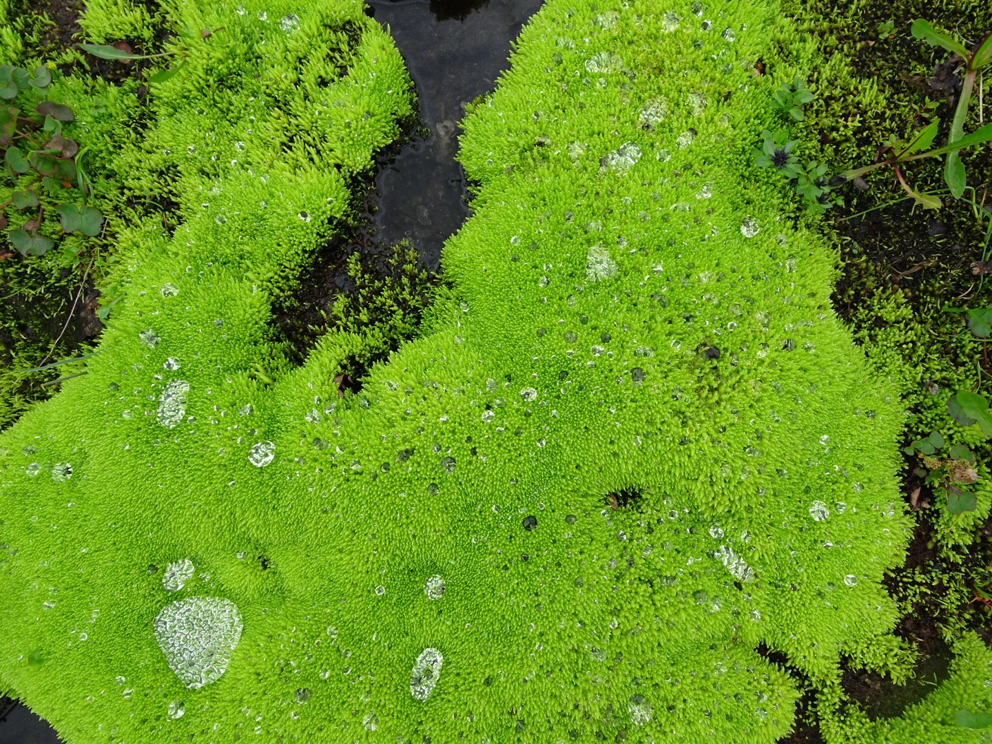
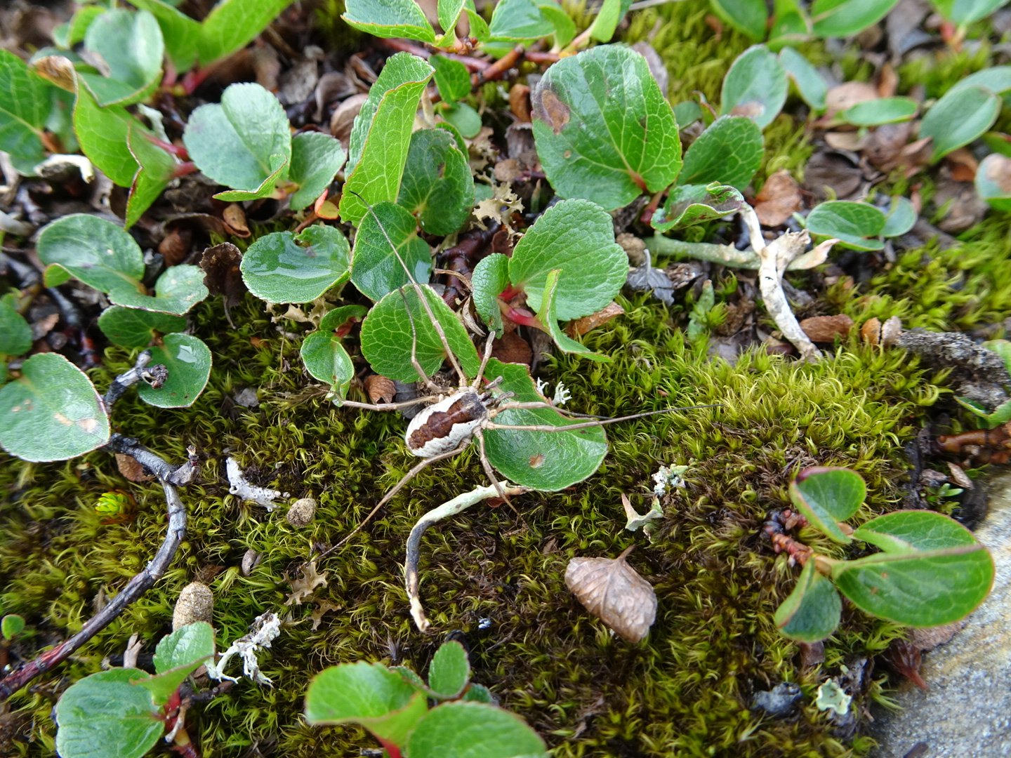
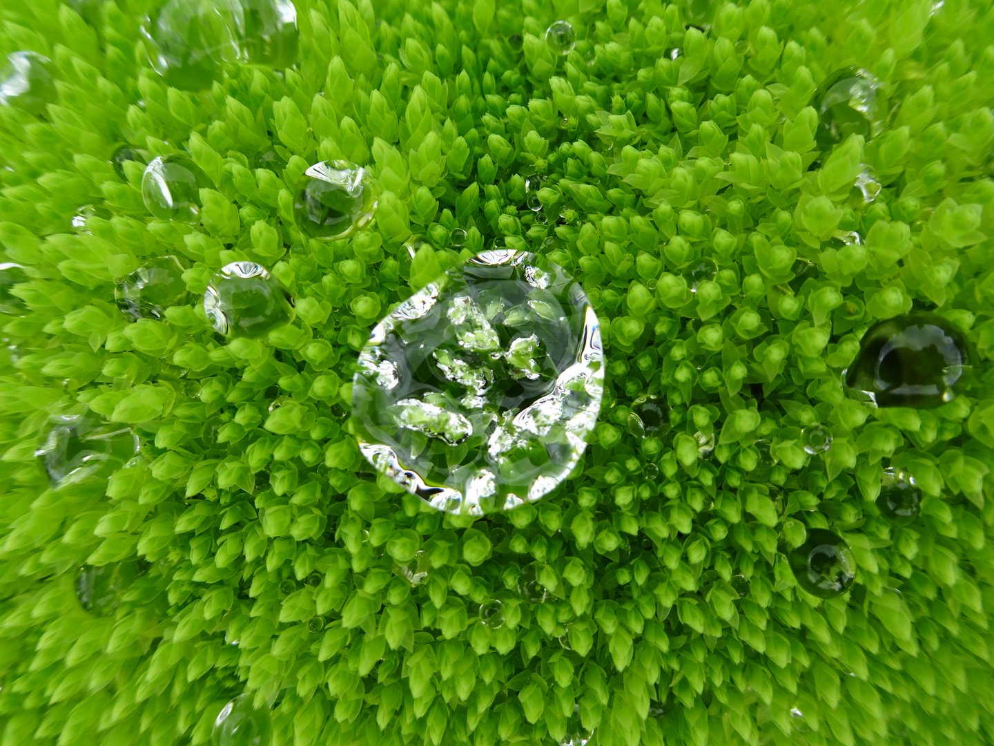
Water droplets look like jewels on the moss
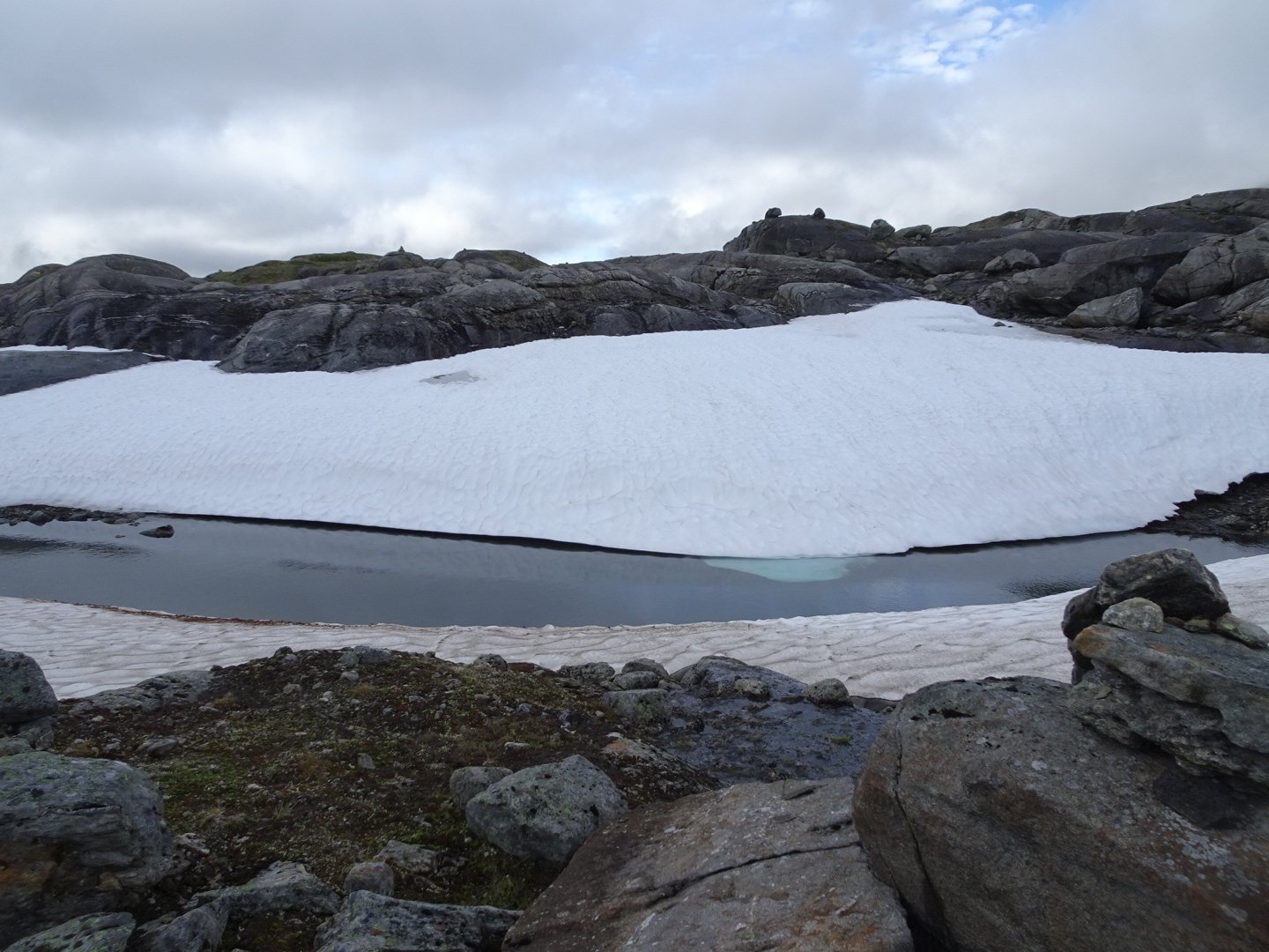
From the end of the last lake there was a climb and this is the first climb in a while I thought was shorter than expected. There were a couple of snow patches to climb including one at the edge of a lake that looked like was melted underneath so I was very careful, fearing the snow would give way.
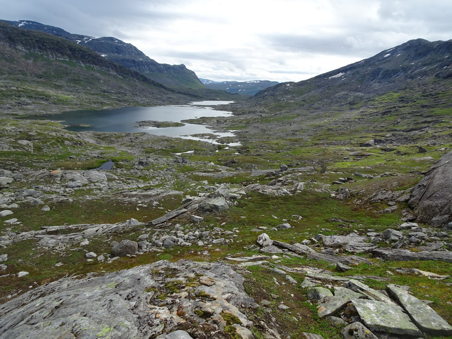
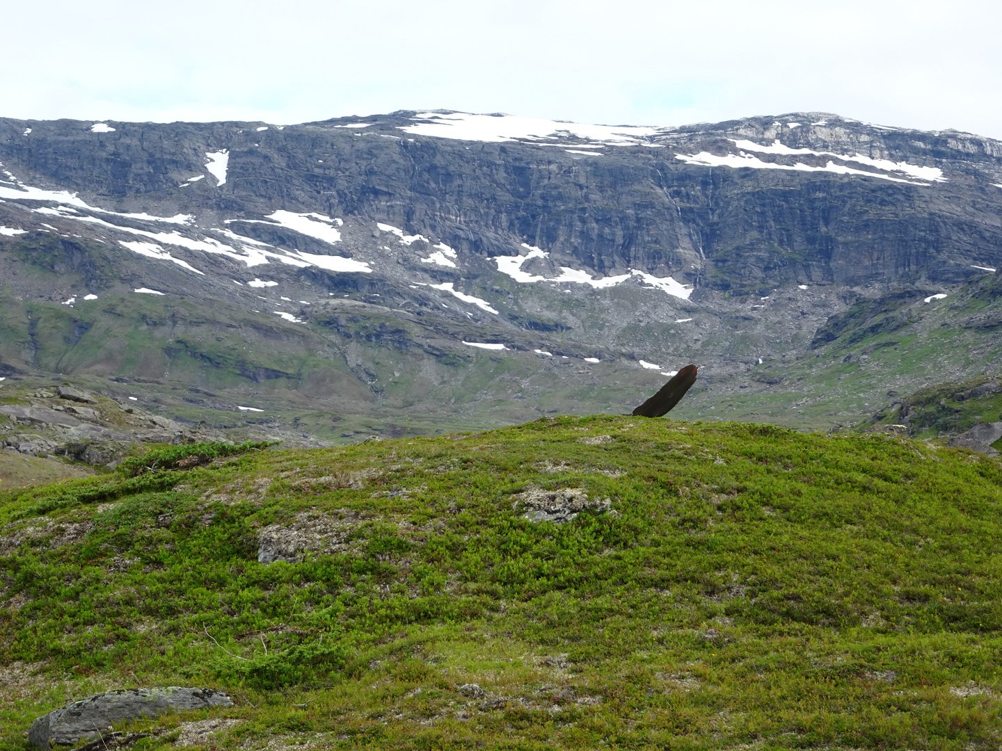
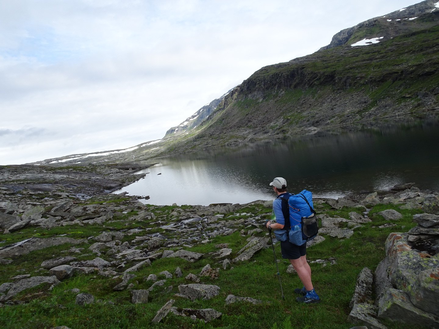
Looking back at where I had come on the right of the lake
Now it was winding through and over massive rock slabs and then the Roysvatn hut appeared. There was the main hut, toilet, second accommodation hut and another mystery hut which I found out later was the sauna.
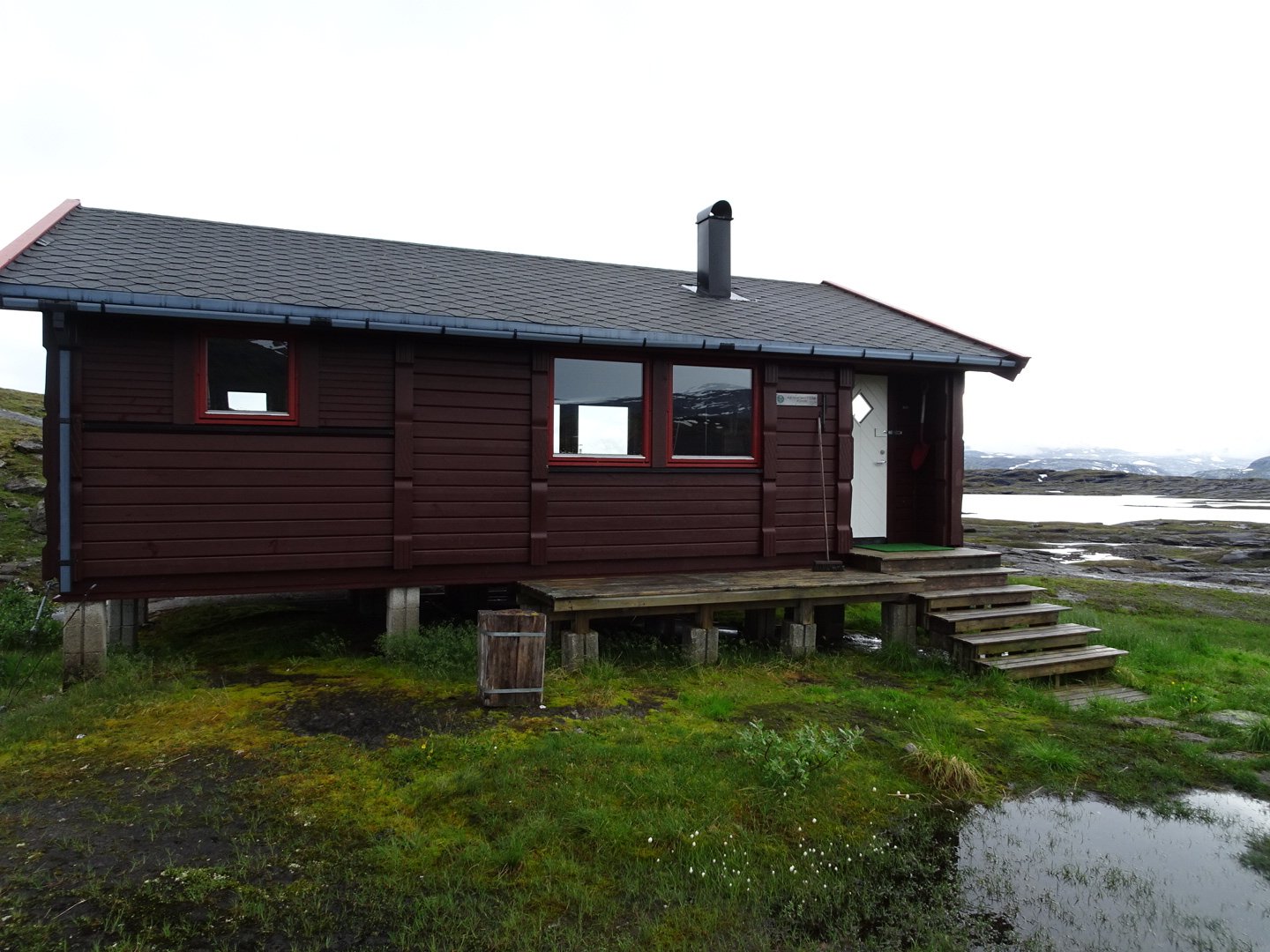
There was one man and his wife set up in the second accommodation hut. The man was in the main hut when I arrived but left almost immediately.
I had been feeling tired all morning and as I had a good sleep I put this down to not enough food. Therefore I decided to cook my spare meal and have it for lunch. It was instant pasta cabanara and I put a sauce base with it to increase the calories. It was nice. I also made some hot drinks of my electrolyte powder and a cocoa mix that I was given by Stine. I just finished lunch and was about to start packing when it started raining heavily and the clouds lowered affecting visibility. I decided to wait a little longer to see if it was just a short rain as they have been sometimes. Unfortunately it looked like it was settling in. I should have just left and walked in the rain but given how I had been feeling in the morning I made some valid excuses to stay. The best excuse was I would not be able to see the markers in the reduced visibility. While having rain start while walking is ok, leaving a nice warm hut to go into the rain is hard.
I settled in and read for a while eating some peanuts and lollies.
Then I decided to finish measuring the 10km marks on my maps and made a horrific discovery. I had severely underestimated the time to compete this leg when planning back in NZ. After seeing the distance and working on my average of 35km per day it would be taking me 3-4 days longer to complete this leg than planned. That means I am short 3-4 days worth of food. That is a lot of missing food. I will have to start rationing but I am already suffering from not enough food so this will make it worse. Another option is to try and increase the mileages but with the current trails that is not possible unless I walk more hours and will still not gain 3 days. There is a slight possibility that the Swedish huts may have food but I think that is only on the more populated trails, which I don’t thing this one is.
This is definitely a worry I will have to think about.
At 1530 the rain cleared up and I decided to leave. I took off in the wrong direction as there were no track signs and I saw a cairn on the hill and wasn’t thinking properly. So back to the hut and then off on the right trail.
It was still going through the big rock slabs. The markers were quite far apart and it was a challenge figuring out how to get to the next marker. At times it felt like a maze with dead ends and steep drop-offs making me backtrack and find a new route. At one point I had to climb a steep snow bank and I had to carefully kick steps to get up.
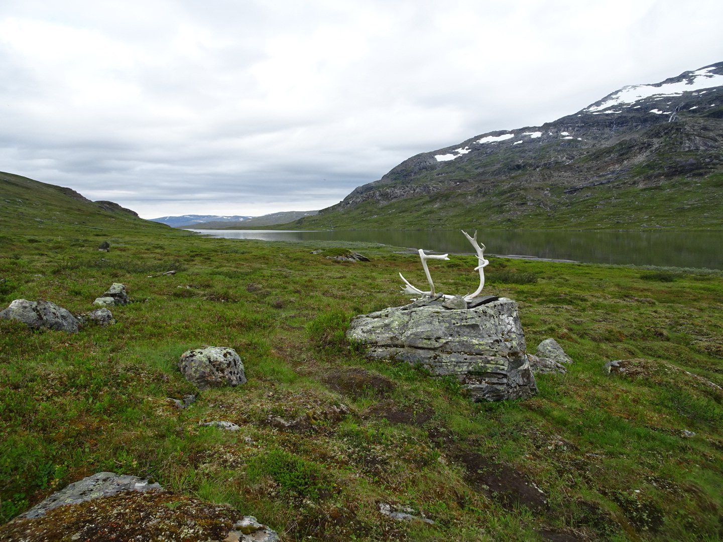
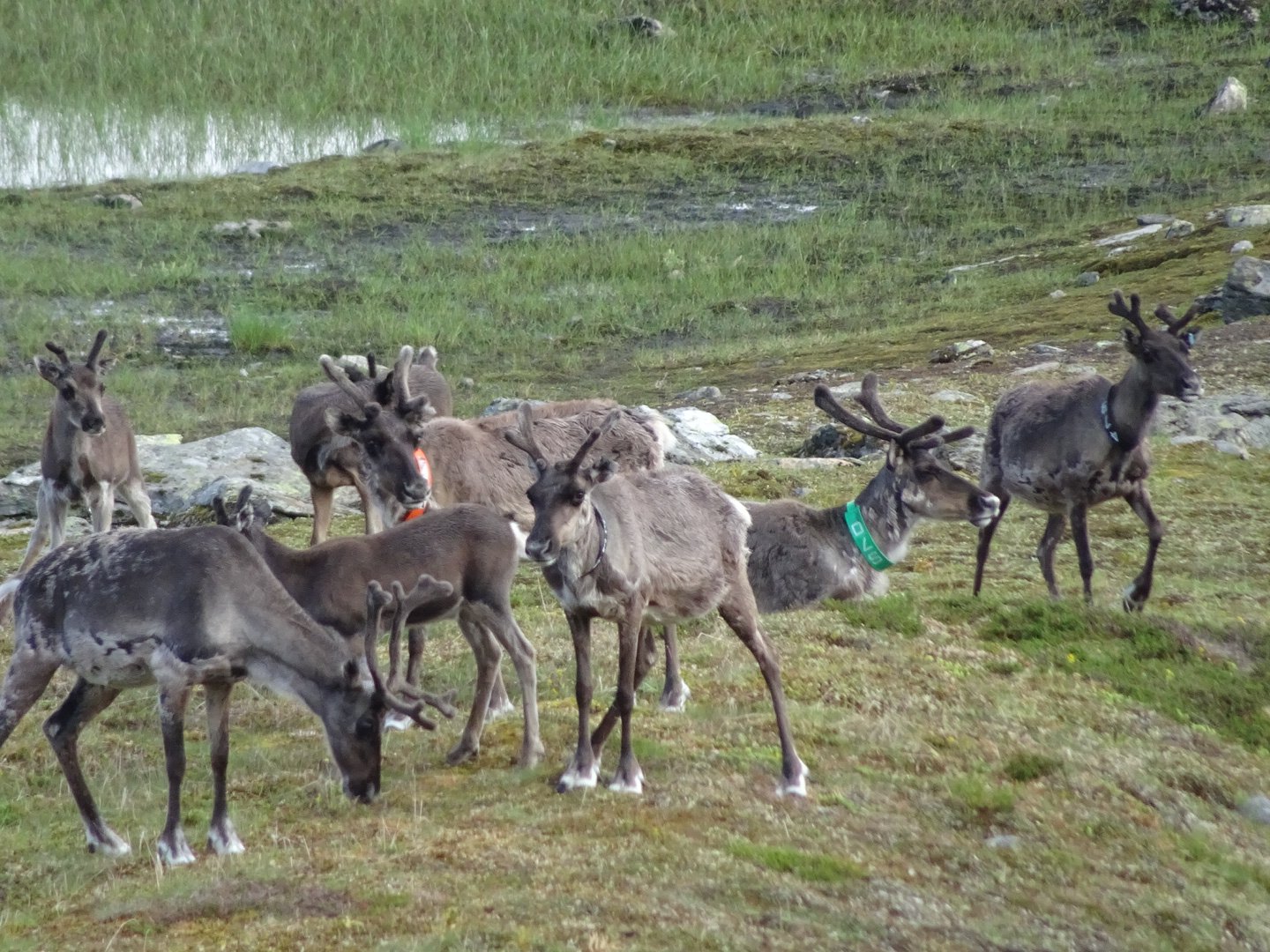
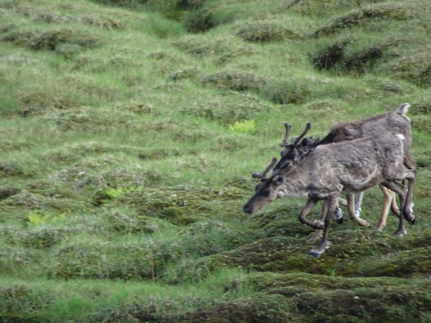
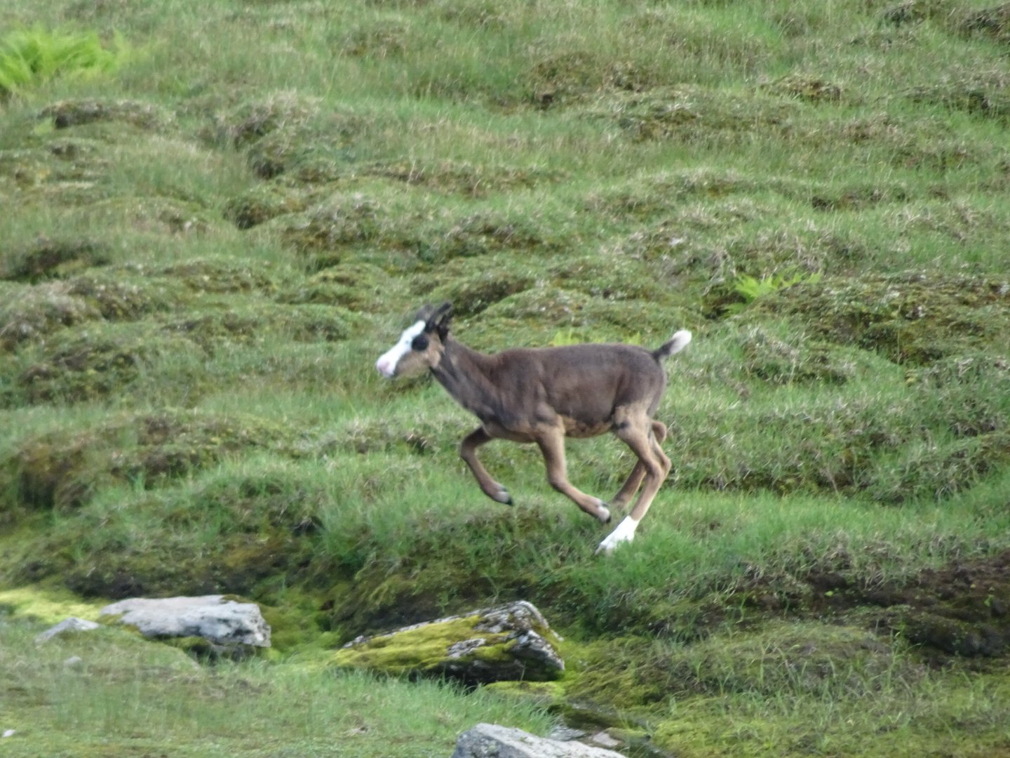
Finally I descended out of the rock zone and I was able to see the markers a bit easier. There was no track most of the time. There were several herds of reindeer along the way.
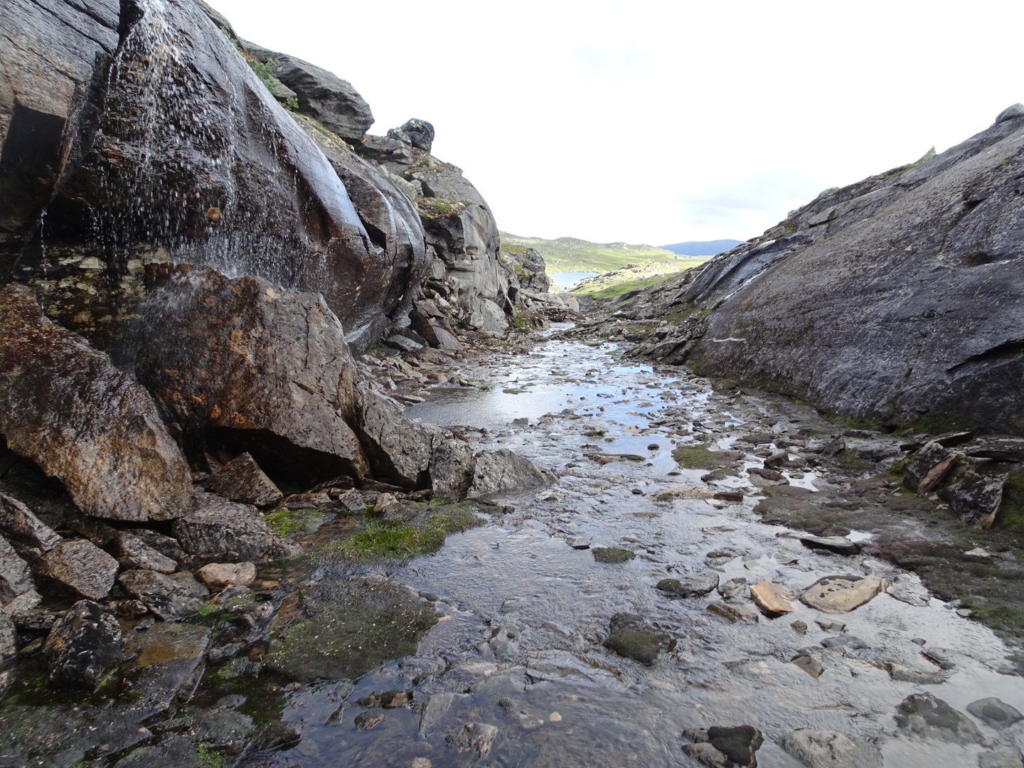
The track kept descending at a gentle angle and one stage was in a mini canyon.
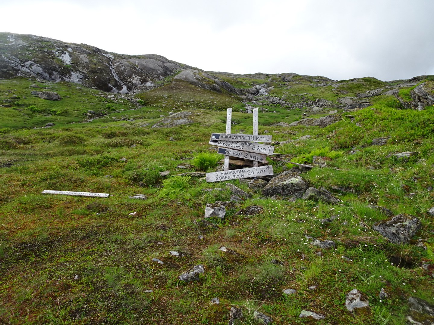
There was an intersection where I kept going straight.
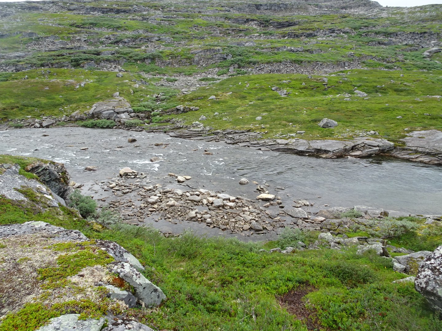
The trail climbed up around the hill, though it seemed to me that we climbed almost to the top. It started raining and initially I thought it was just a shower then it got heavier so I put on my rain jacket. 5 minutes later it stopped and the jacket came off again. From the top the trail descended to a river that my map marked as having a bridge. There was no bridge but the river looked crossable. The river surprised me by being faster than I thought. Just enough to give a light vibration on my trekking poles and mid thigh deep for the first half then mid shin.
Now the trail went up and down, almost continuously. Sometimes big hills and sometimes smaller. I was getting frustrated with the constant up and down. Sometimes it was necessary but for much the time I couldn’t see a reason for not just going around the side of the hill.
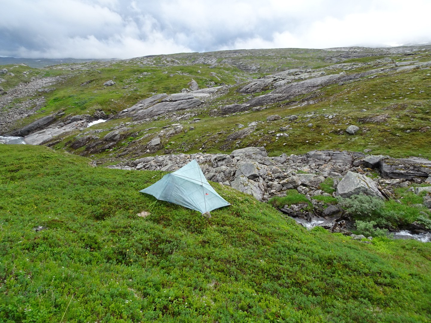
I could see the hill which was the next big climb and it was in clouds. As I was starting to feel tired again I decided to camp and leave the hill for the morning when I had more energy and hopefully the visibility was better. I camped on a ledge above a small stream.
Views: 422