
Day 54 – 15 May 19. Short Day Ready for Mt Witney then Storm Warning
Today 16.4 + 1.9 km (10.2 + 1.2 mi), Total Distance 1233.2 km (766.3 mi). 5 hours 15 minutes (0720-1235)
I had a really restless sleep, I am not sure if it was because I was tired or the altitude which was 3354 m. My alarm woke me at 0515 and I ignored it as I knew I only had 16 km (10 miles) to do today to set up for Mt Witney tomorrow. My plan was to go to the ranger station and ask for a weather forecast.
I lay there expecting the sun to rise, having specifically placed my tent for this. I was surprised when there was no sun so I looked outside my tent and saw it was solid cloud. It was warmer than yesterday at 4 degrees C.
I took my time with my morning routine and again put dry socks on with plastic bags. Because it looked like it was going to rain I also put on my wet weather pants, the first time in pants all hike. I also put on my merino top instead of my light shirt.
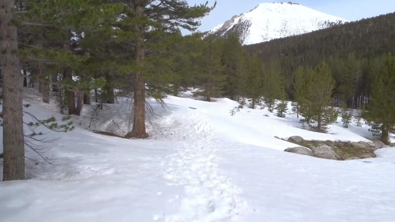
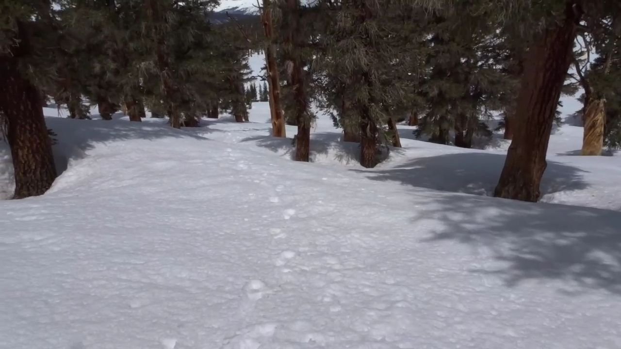
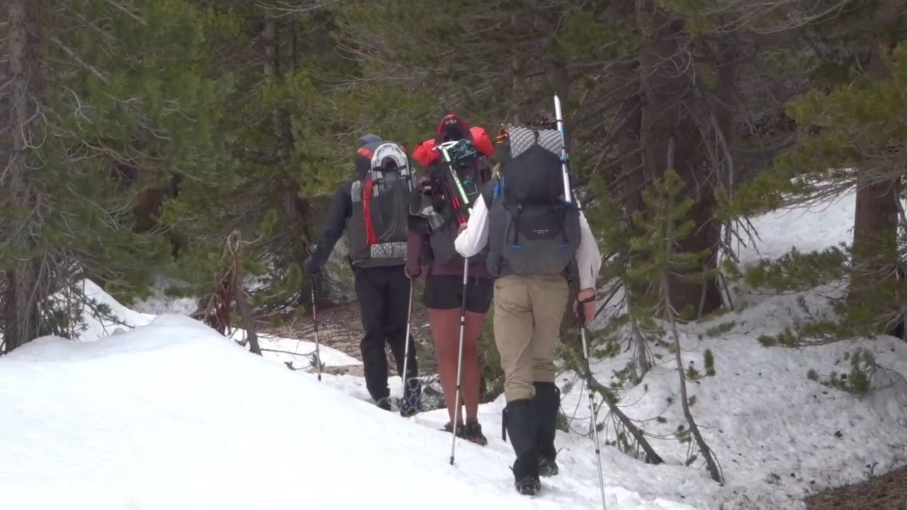
I was finally on my way after seven. I had my crampons on and the snow was beautiful. I walked off to the side of the tracks and made good progress.
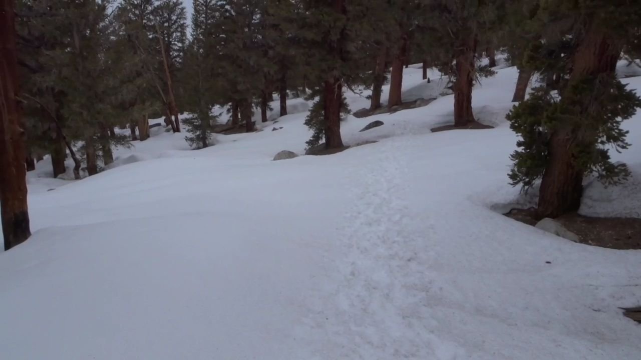
It was a little up and down to clear the small hill and the down hill for a couple of miles. Some parts were really steep but I had no problem with my crampons.
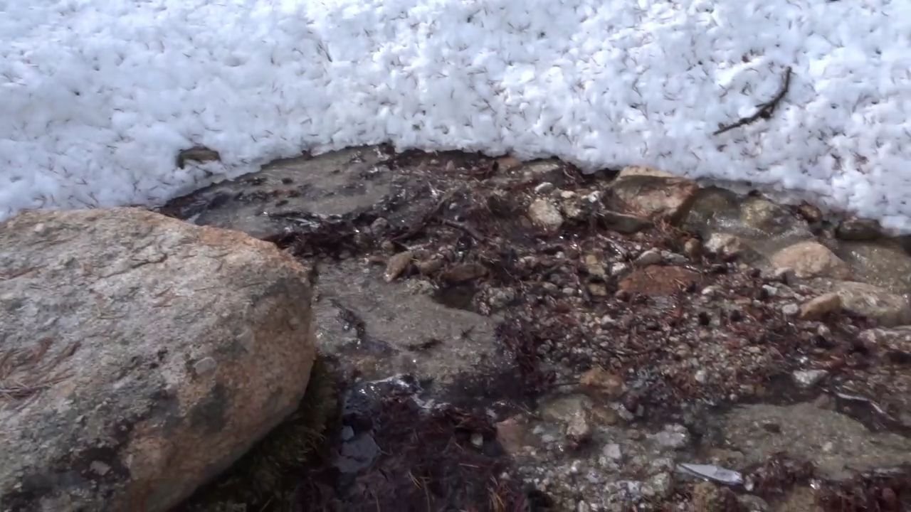
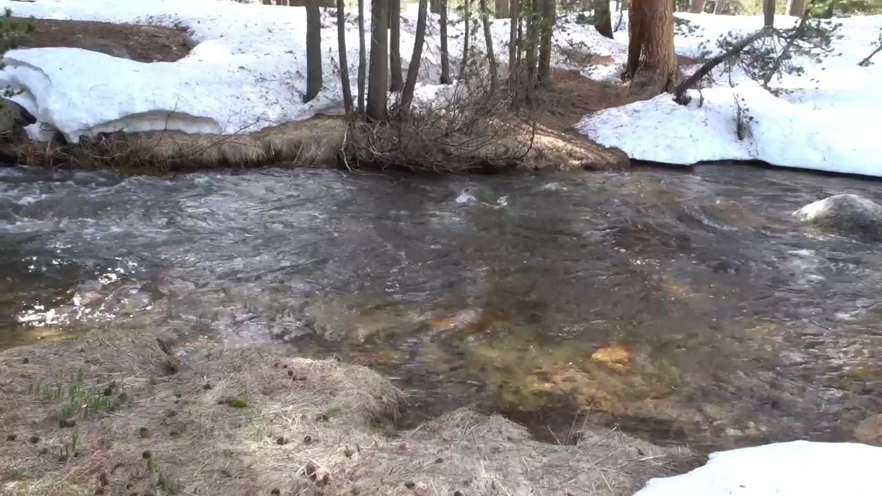
I was feeling good. Near the bottom I stopped at a small stream to fill up my water. The sun had made an appearance and I was getting hot so I took off my wet weather pants and the dry socks and put the wet ones back on.
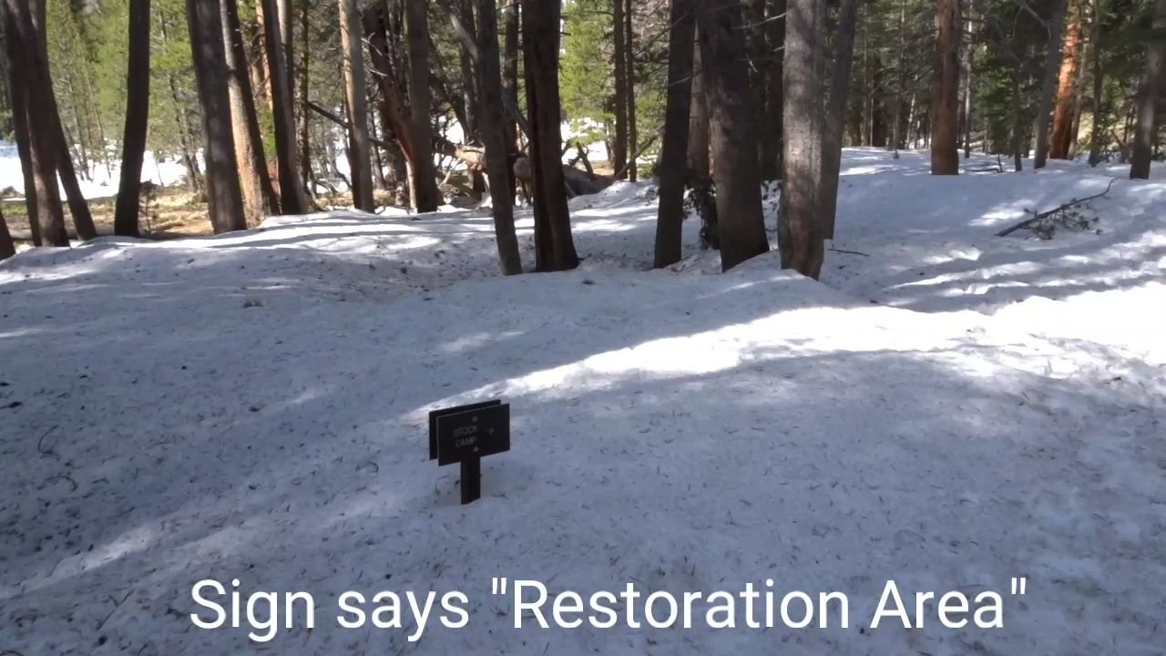
At the base of the hill it was then on the flat beside a river. There was a symbol on the map that I thought might be a bridge but it was a Restoration Area where camping was not allowed.
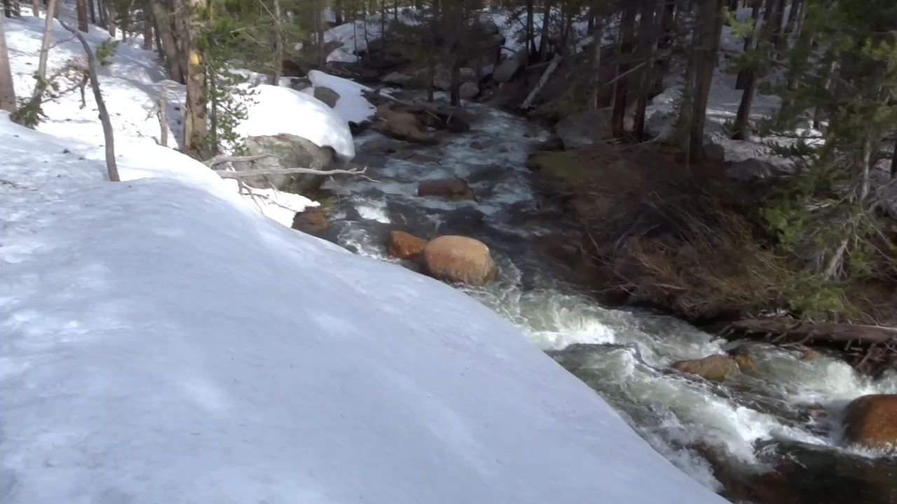
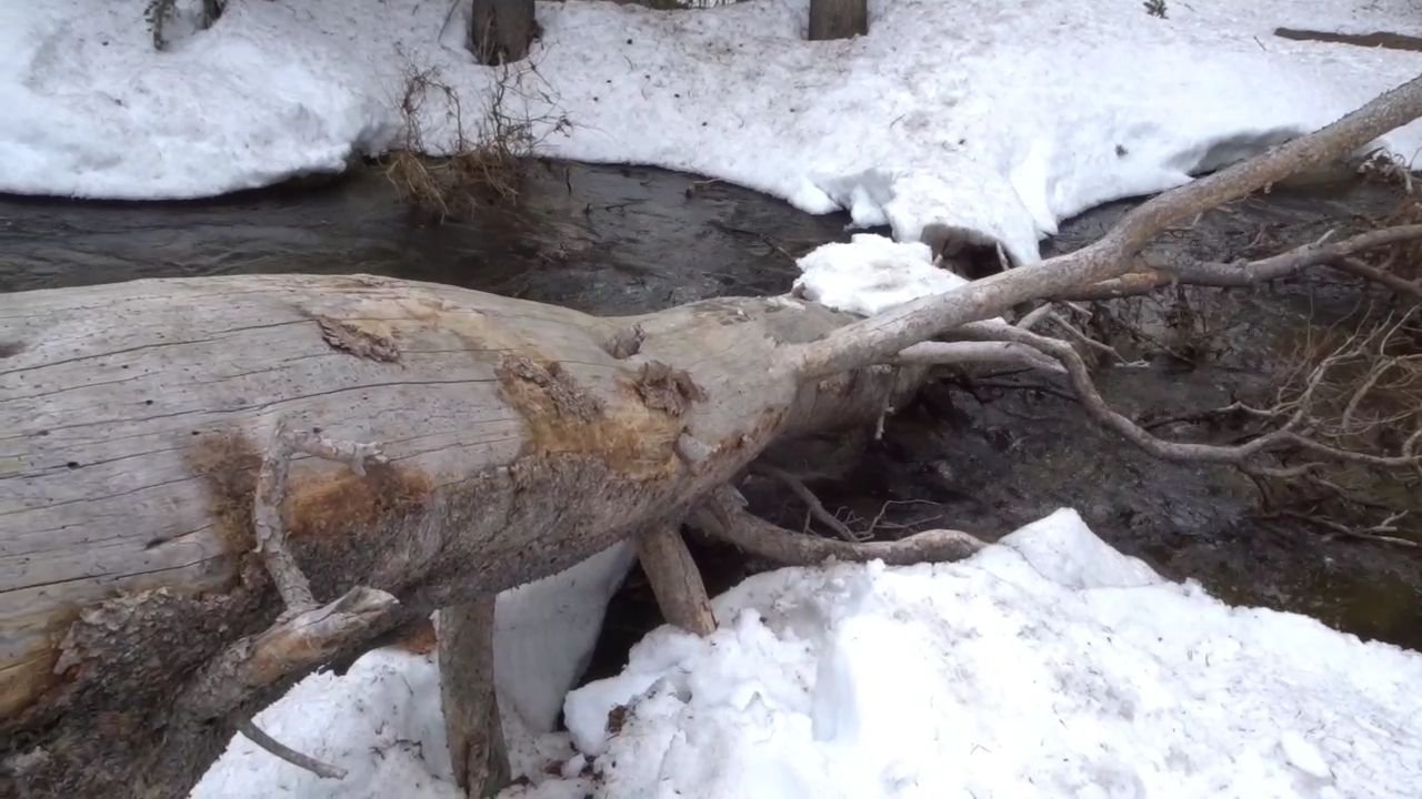
There was no bridge so I considered a couple of options. There was a log but it was high and slippery, there were also some smaller logs purposefully made into a bridge but the water was coming over it.
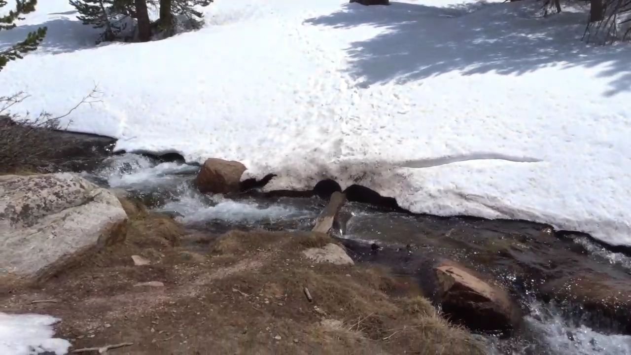
I chose a crossing at a slightly wider bit. I took off my crampons so I would have better grip but kept my shoes on as it was a wide crossing and I wanted maximum traction. The river was just past my knees and flowing swiftly, but not enough to get my hiking poles vibrating. The water was freezing and I am glad I had my shoes and socks on as I am sure my feet would have been numb by the end.
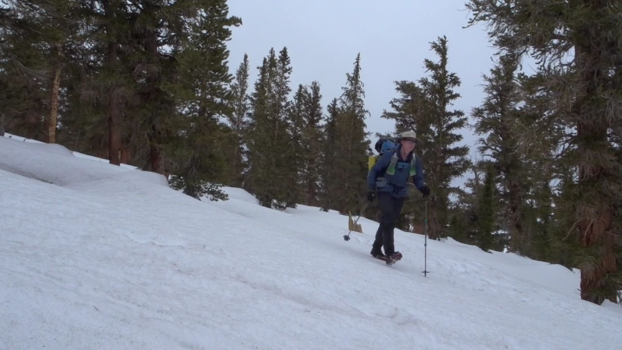
Now it was an uphill. I couldn’t find the start of the track in the snow so I headed straight up hill and cut across the track as it was on the first of many zig zags (switchbacks).
The trail was largely clear of snow so I took my crampons off. I was also getting hot so I took my merino top off and put my shirt back on. I took it easy going up the hill, taking many breaks.
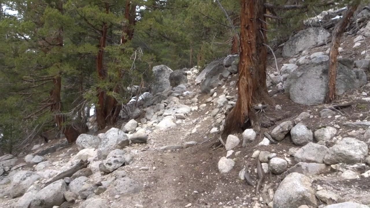
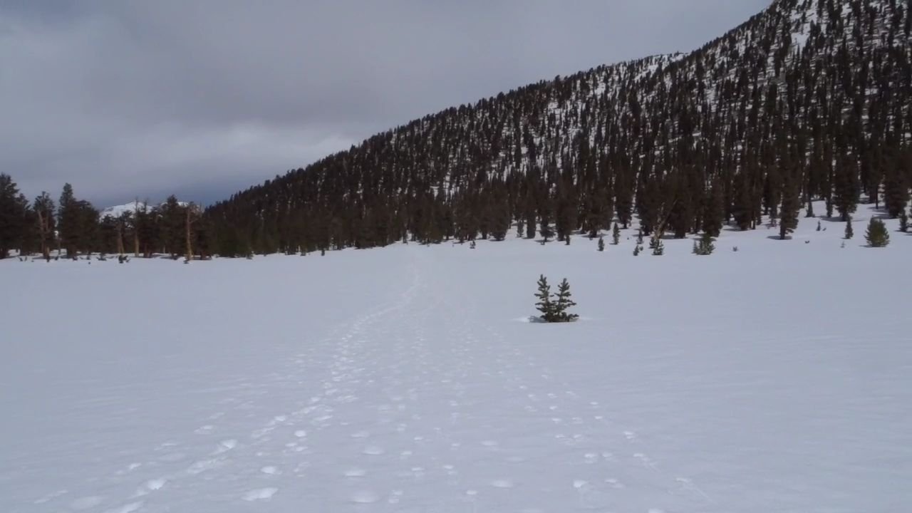
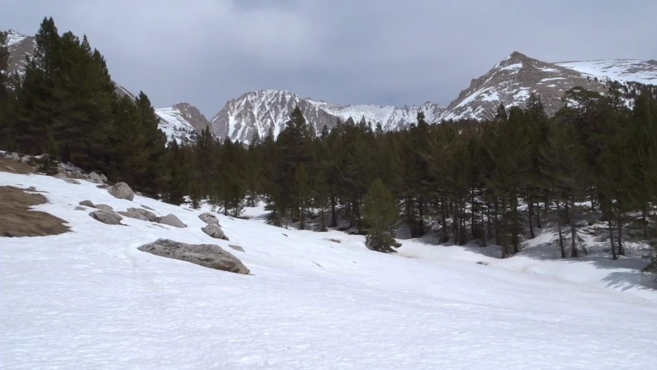
At the top of the steep bit it was a bit flatter and fullly covered in snow so back on with the crampons. That was the last dirt of the day, all the rest of the day was in solid snow.
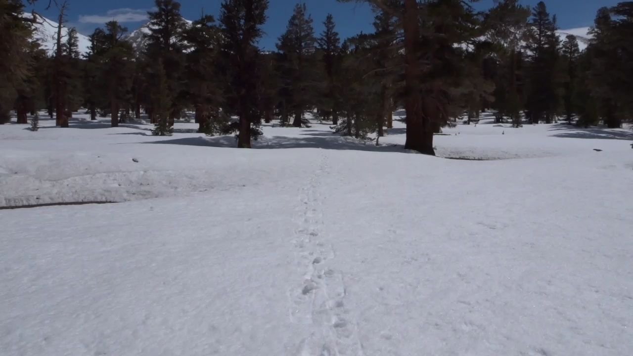
There were a couple of sets of footprints going in different directions so for the first time I got out my compass, oriented my map and determined I was heading for a saddle in the distance and made my own way there.
Tracks were appearing and disappearing but I ignored them and made my own way.
The climb up the saddle was steep and I was really puffing. I had to take many breaks to get my breath back.
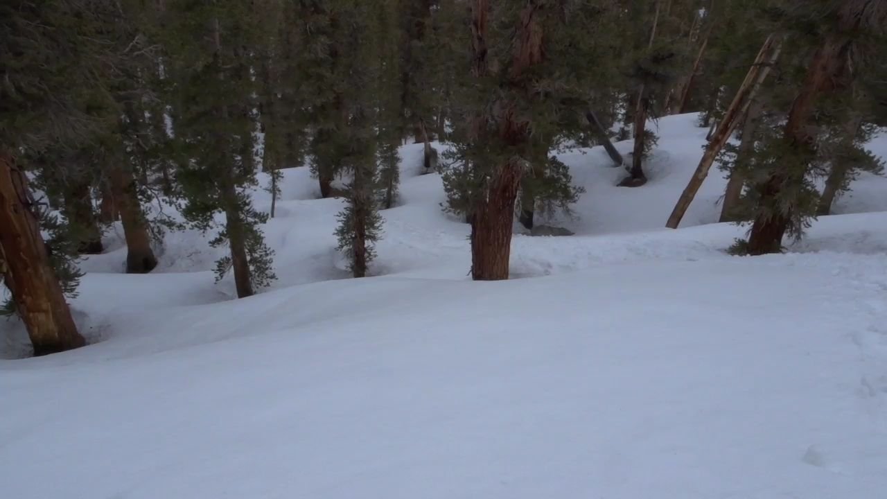
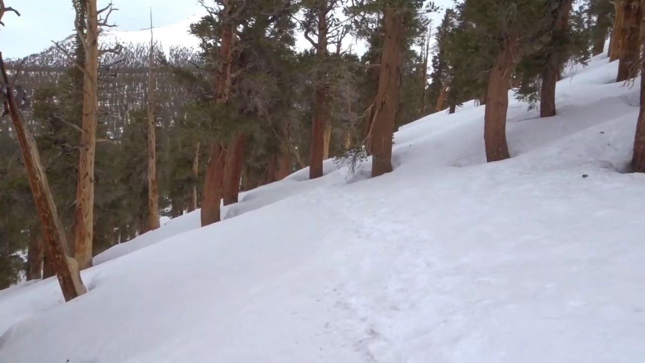
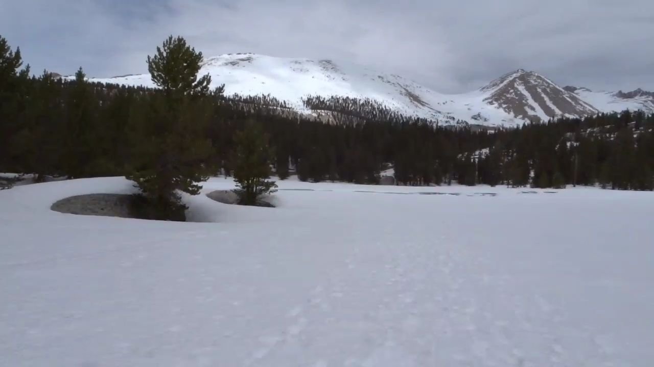
From the saddle it was a steep downhill, across a flat and then around the side of a hill. The sun had disappeared and the ominous clouds were back.
There was a short steep climb up to the saddle and then along the side of a steep hill before starting a big steep downhill.
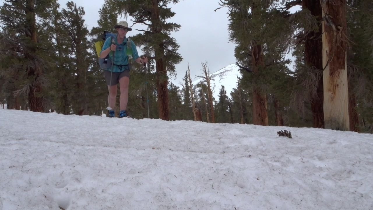
I was surprised to see someone walking up the hill towards me. He was part of a group that tried Forrester Pass today but it was to windy. One of the group got a weather forecast from their family on their Mini Inreach and apparently there is a big storm rolling in. It is meant to hit tonight and last a few days. The group decided they did not have enough food to wait out the storm so were walking all the way back to Cottonwood Pass. A lady came next and she said the ranger station was open and manned. I decided to head for the ranger station and would sit out the storm in a building. I had 5-6 days food that I could make stretch to 7 if needed so could wait.
I continued down the big hill, through a little area of trees and small snow bumps to negootiate. Just as I came to the clearing there were there more people. They had also decided to turn back as they did not have enough food. They said the group of 6 were ahead and were heading to the ranger station. They looked pretty dejected as they headed back. Another reason I decided to go to the ranger station is there was no way I would beat the storm and get to Cottonwood Pass tonight.
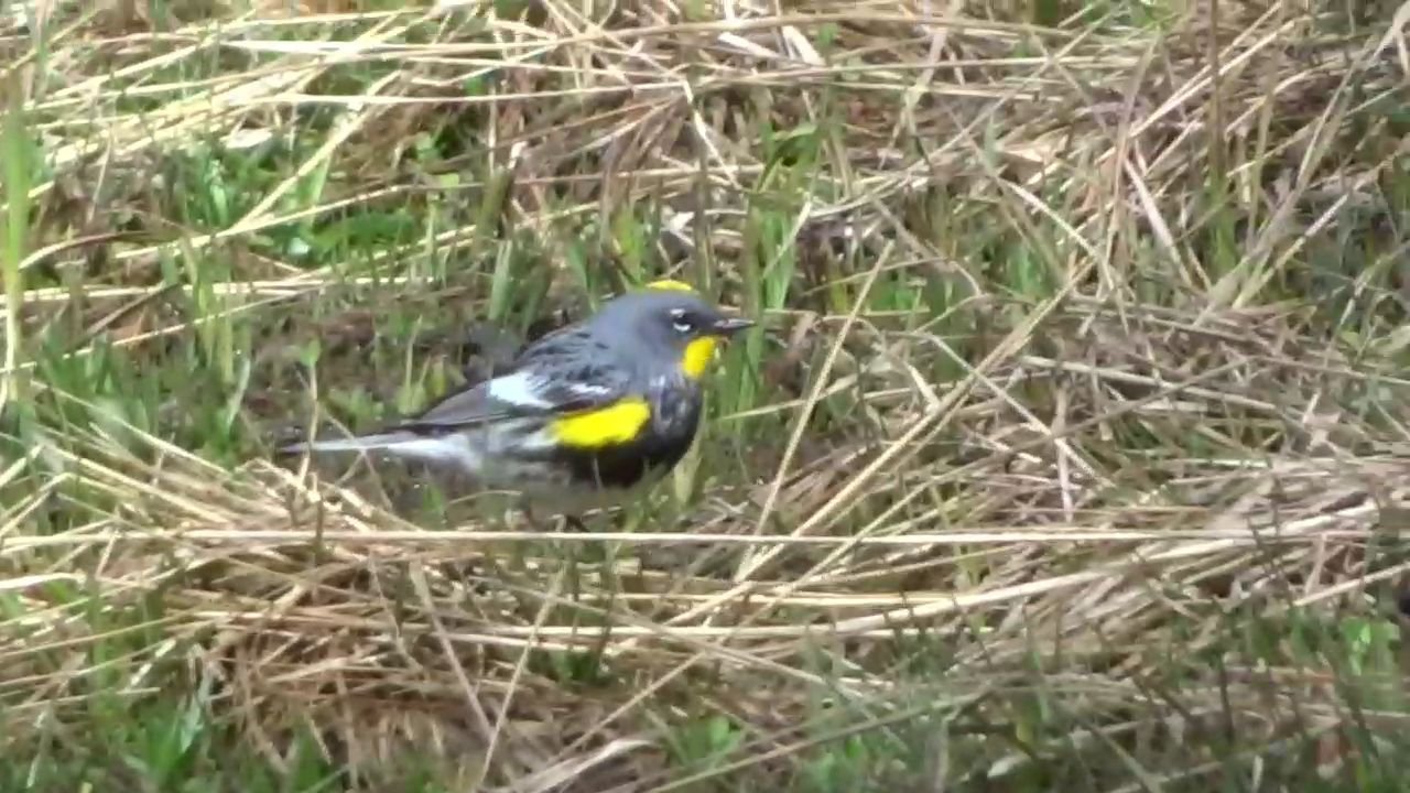
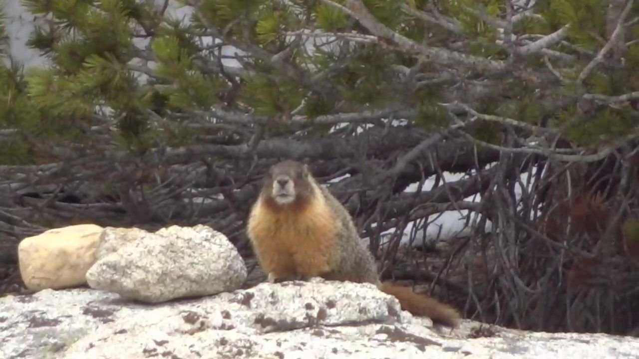
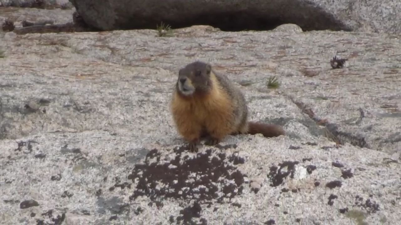
I headed across the flat to a river and then followed the river down to the crossing point. As I started following the river I saw an animal in the snow. At first I though it was an otter but after it moved to some rocks I was able to see it zoomed in with my camera and I think it was a Marmot. It was bigger than I expected and had a thick coat.
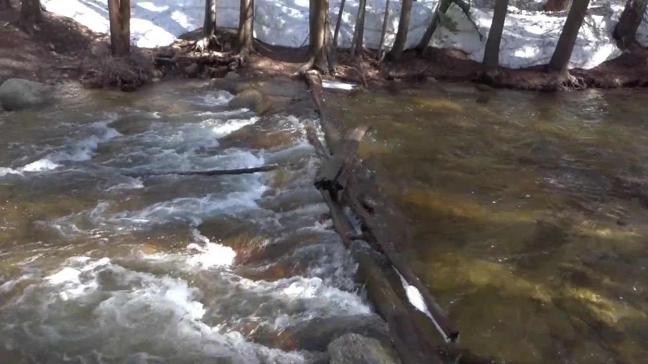
The crossing point was a big log with a couple of patches of snow on it. I was worried the snow would fall off so I was very careful. The crampons were handy on the log as they gave me good grip.
Now it was a mile to the ranger station. The trail was hard to make out but it followed a river and then a stream. I stayed by the stream and it got very steep in some bits with fallen logs to clamber over. Finally I crossed the stream on a log and made the final few hundred meters to the hut.
On arrival I saw everyone sitting on the porch. They asked if I had the key. So contrary to what I was told there was no warden and the hut was not open. Like Norway I do not like how huts are closed here. In New Zealand all huts are open so they can be used in emergencies. The high country huts sometimes also have a radio so you can get a weather forecast or call for help.
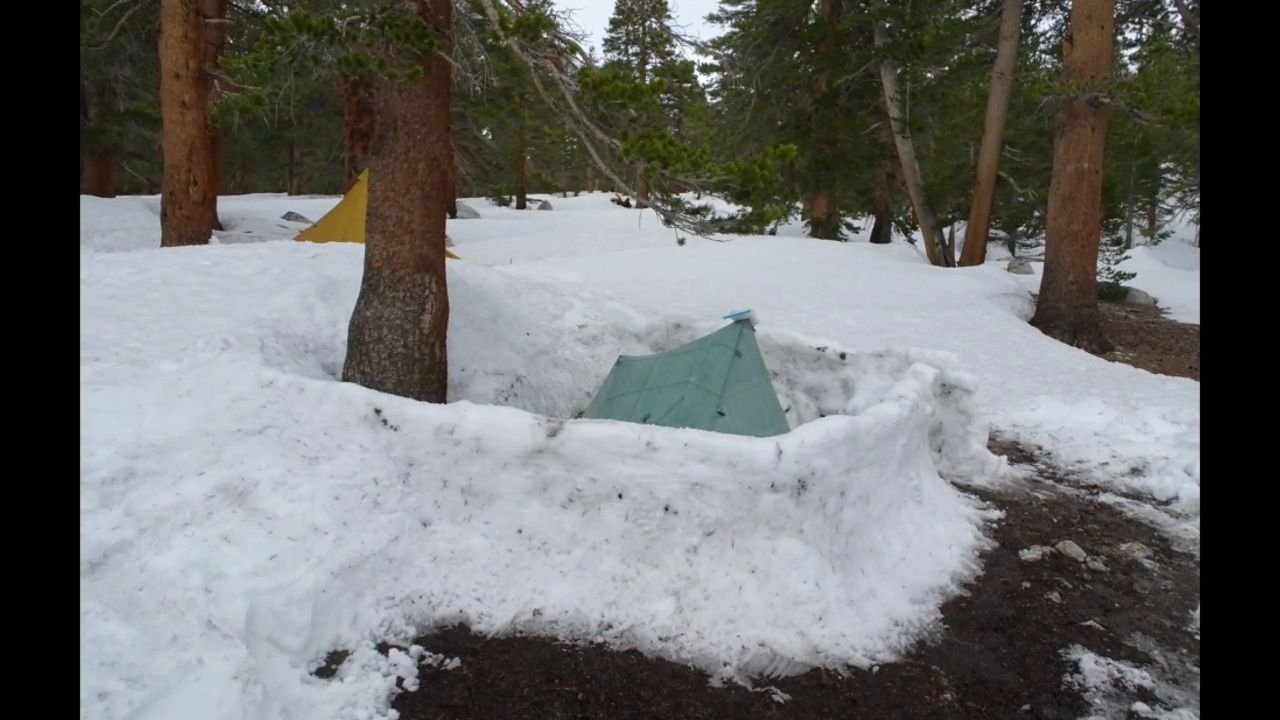
I found a patch of dirt next to a snow bank and started building a wind break around where my tent would be. Thankfully there was a snow shovel outside the hut and I was able to make quicker work, though it still took all afternoon. I figured it would be worth the effort in the storm, and there was nothing else to do.
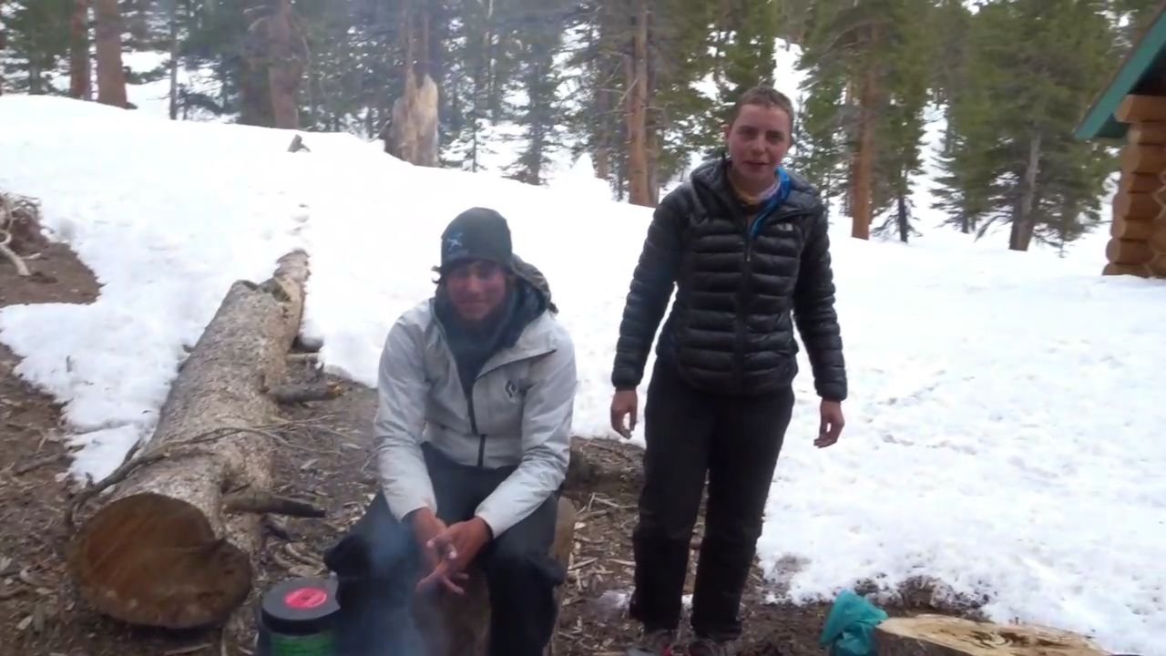
I slowly realised that this group, who had started putting their tents up, was not actually the group of 6 that I had been around the first couple of days. I thought they were ahead of me but apparently they are behind me. I had asked the returning group if they had seen Cruise Control and Logan and they hadn’t so they also must be behind me. This group actually started the day before me and was new.
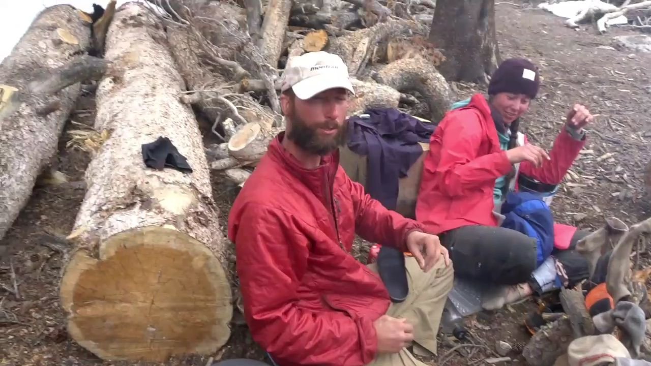
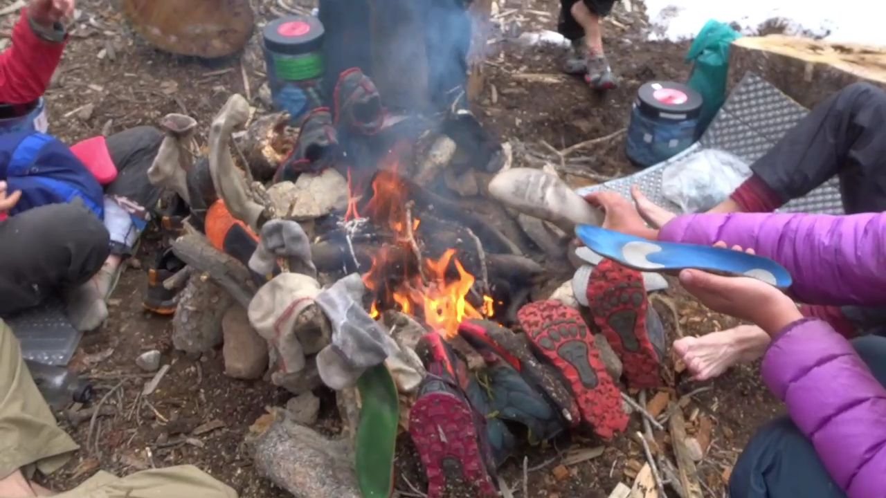
One of them got a fire going, an impressive feat considering the fire pit was a puddle. We all sat around drying our shoes, socks and innersoles. At 1730 we had dinner. It was interesting seeing what the others were eating. They are a fun group who have been together for a long time, since day 1 for some, day 4 for others and the latest arrival was Warmer Springs. Once again they are all young.
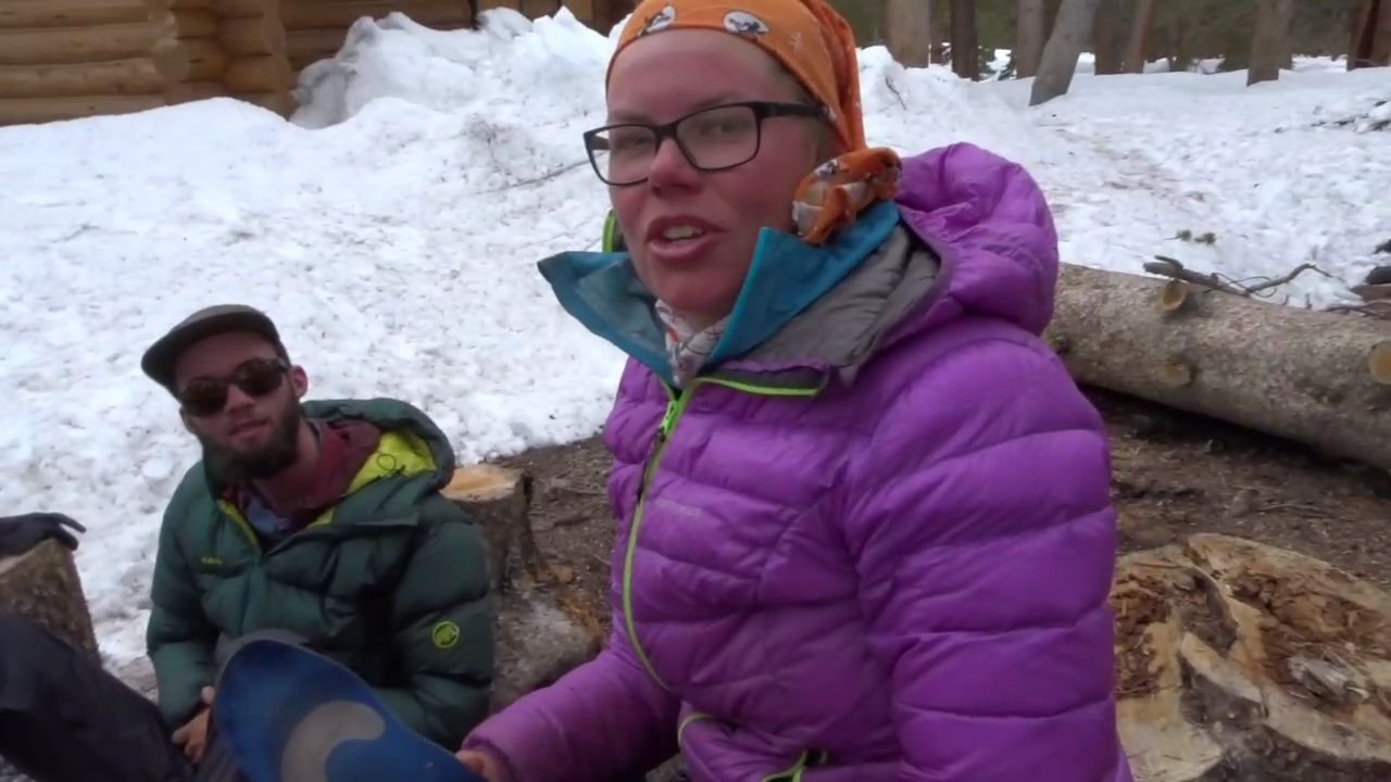
Their plan for tomorrow was to see what the weather was like and try to push for Mt Witney. I got the impression they did not believe the weather forecast the other girl had. Failing Mt Witney they were going to push for the base of Forrester Pass.
I will just wait and see what the weather is like. I am fully prepared to sit in place and wait out the storm if there is one. Afterall my tent is now behind a wall of snow.
The first few flutters of snow started so we all packed up. I collected 3 litres from the nearby stream ready so I do not have to leave my tent. I also have my Pibela (like a SheeWee but better) and dirty water bottle to use to go to the toilet so I don’t have to go out in the horrible weather.
As I sit typing it has started snowing and the ground outside my then which was dirt is now white and I have snow on the roof of my tent. The temperature has started dropping. The attitude is 3258 m.
Visits: 774