
Day 55 – 16 May 19. Snow Storm
Today 7.9 km (4.9 mi), Total Distance 1241.1 km (771.2 mi). 2 hours 55 minutes (1520-1815)
It was an interesting night with the amount of snow falling. Every time I woke up I would shake the snow off my tent. The snow did provide a nice insulating effect and I would think the snow had stopped falling until I cleared it and could hear it landing on my tent again.
Every now and again I had to push against the sides of my tent to clear the snow as my living space started to shrink down, especially at the ends where the snow was accumulating.
I could hear the wind in the trees but was not getting any wind in my little fortress.
When it got light I just lay there for a while and then got breakfast. If the weather forecast from the girl yesterday was correct I would be here a while so I needed to conserve food and battery power. I split one of my breakfasts in half and had that as well as a hot chocolate. I took my time with this as it was going to be a boring day so any time spent doing something was to be stretched out.
After breakfast I dozed for a while and then just lay there. Eventually boredom claimed me and I started reading with the phone screen brightness at the lowest level to conserve power.
Around 10 there was actually a brief period when there was some sunshine but that disappeared again.
At 1100 hours Xena came to my tent and invited me to a meeting they were having to discuss what to do. I got dressed in warm gears and wet weather gears and ploughed through the new snow to the porch of the Ranger Hut where everyone was gathered.
There were three options available; 1. Evacuate over the Whitney Portal, 2. Continue over Forester pass and 3. Sit and wait longer. To start with it looked like the evacuation over Whitney Portal was going to be the one decided but then more people started looking at the Forester Pass option. The Whitney Portal option would mean around 20 miles and one high pass to get to a small town. Then once the weather cleared back over that route to get back to this point to then do Forester Pass. Forester Pass was potentially a 32 mile hike with two passes, but it was continuing on the trail and would not have to be repeated. The other main factor was some people were short on food.
No decision was made and everyone was given time to go away and consider what they wanted to do. We would meet back up at 1400. The group fully included me in their discussion and I confirmed I would stay with them whichever decision for safety in the storm.
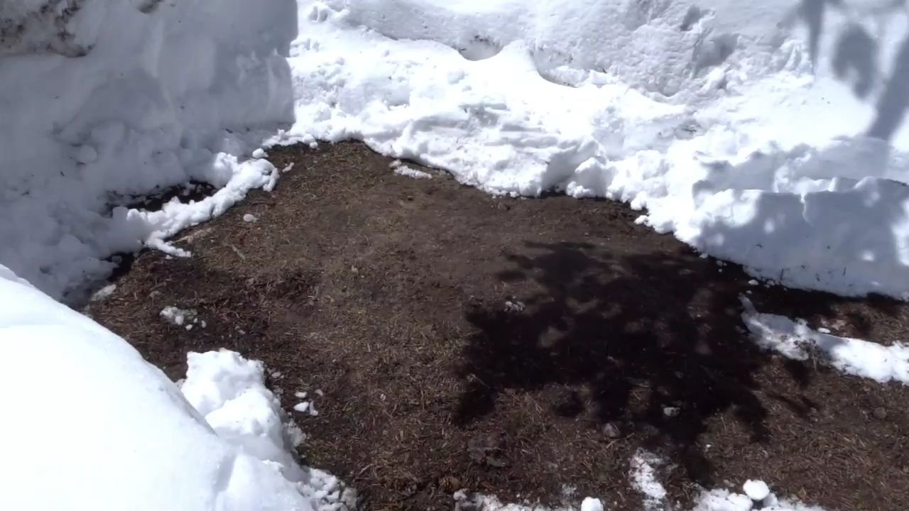
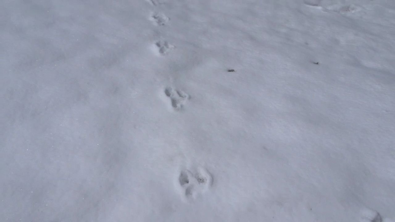
Back at my tent I cleared some of the accumulated snow and had lunch and went back to reading. The sun came out again and then the snow stopped and it started clearing. I received a visit by a Chipmunk. When I went to the 1400 meeting it looked like a nice day.
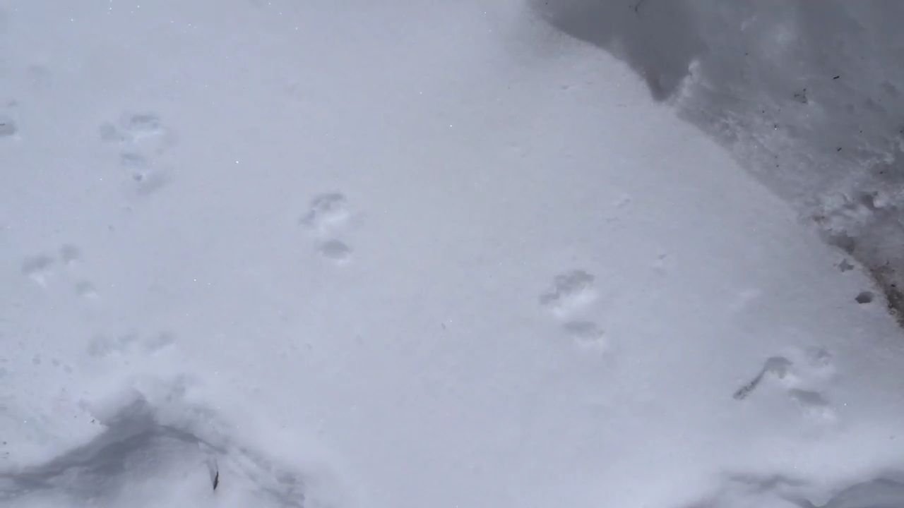
Chipmunk entered through the door
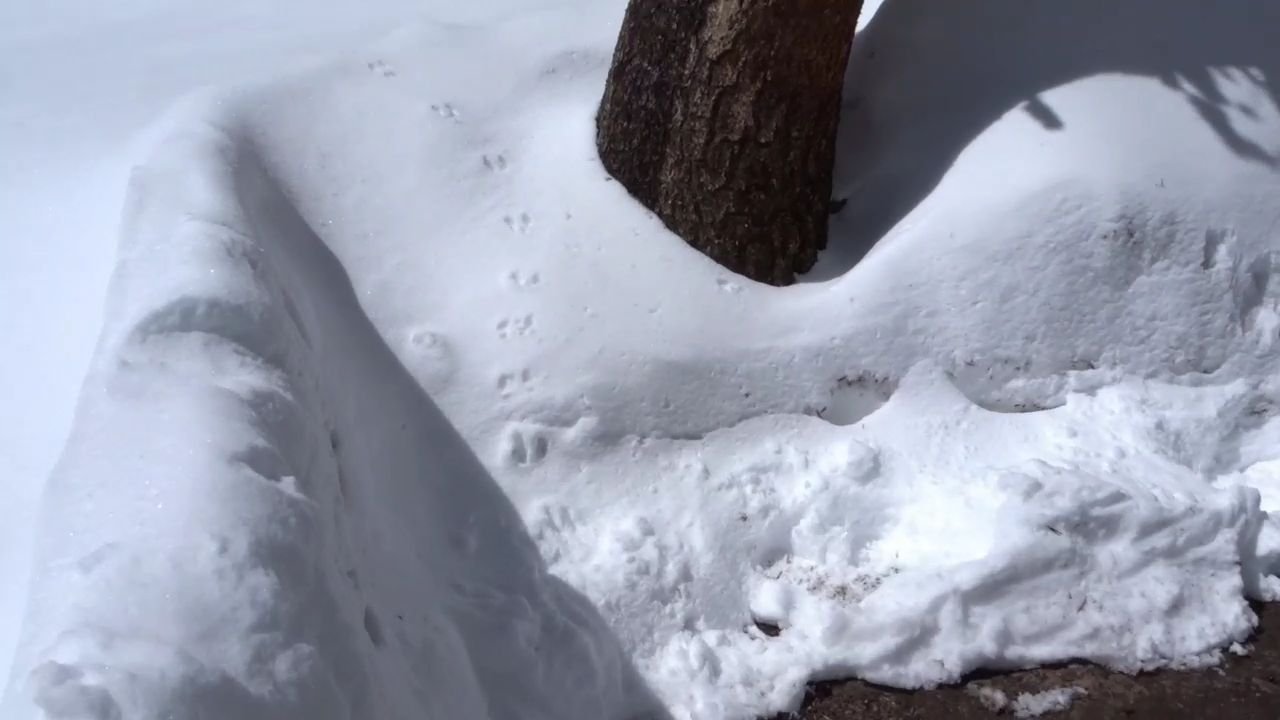
and exited up the bank
At the meeting there was a lot of discussion and given the cleared weather the decision was made to do a few miles this afternoon to set up for Forester Pass crossing tomorrow. I was happy with this as I really did not want to go out by the Whitney Portal.
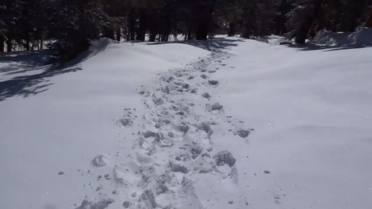
Now the decision was made it was time to pack up and get moving. I thought I was slow as I had not been ready to move but I was ready before a few of the others. I helped Xena look for her poles, unsuccessfully and then followed a few minutes after the first two left.
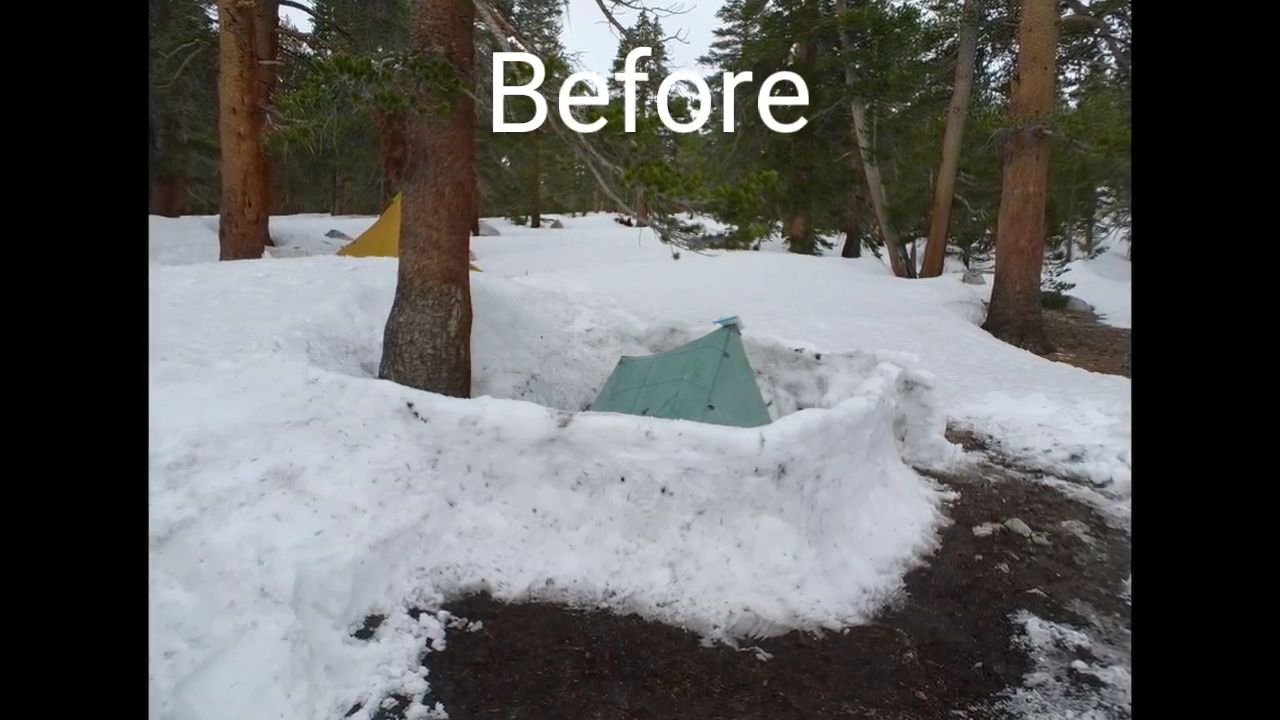
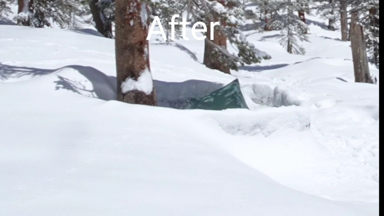
Snow piled up around sides where my tent was
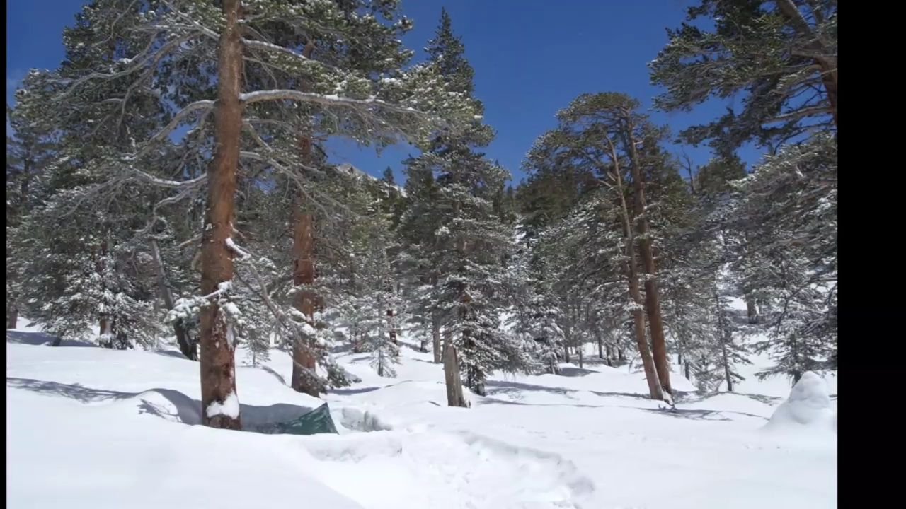
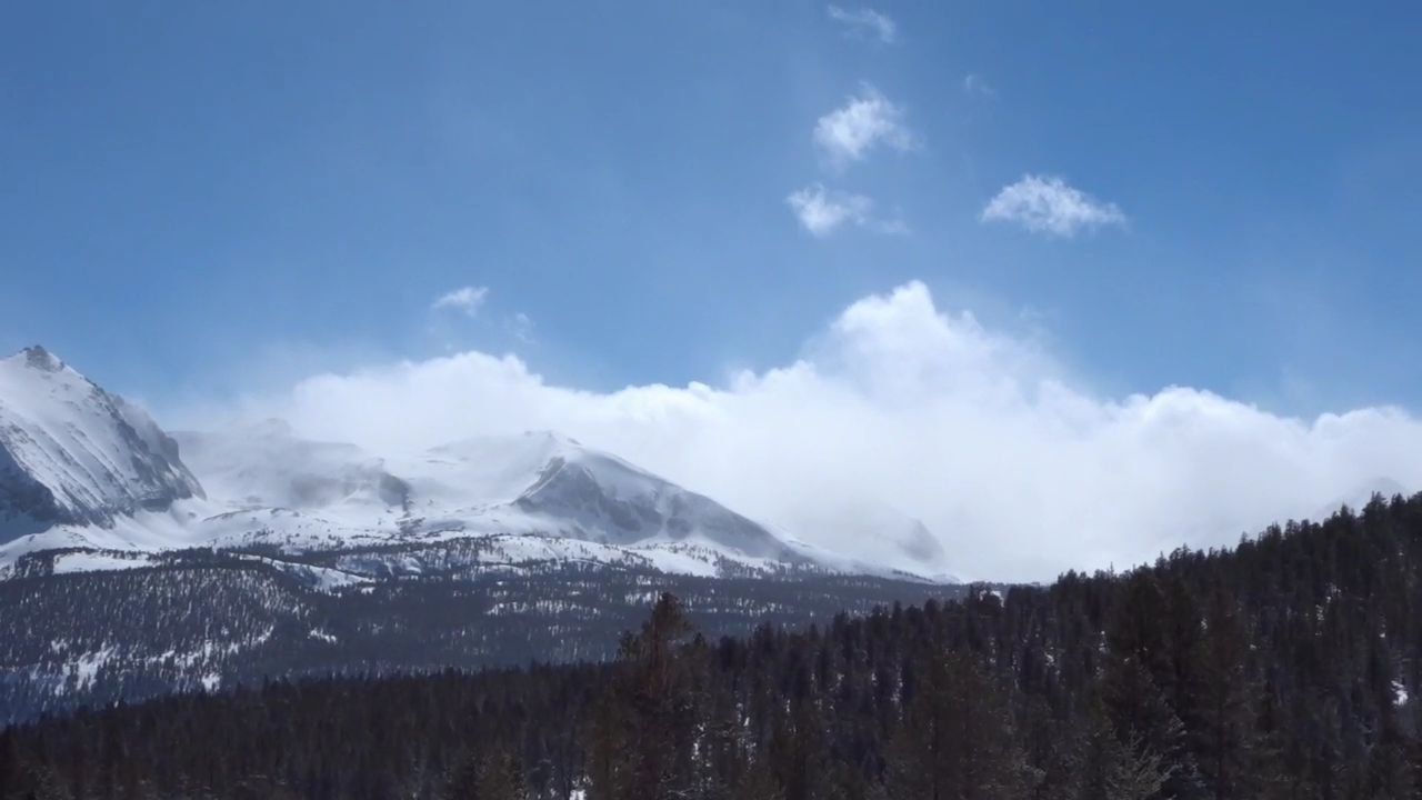
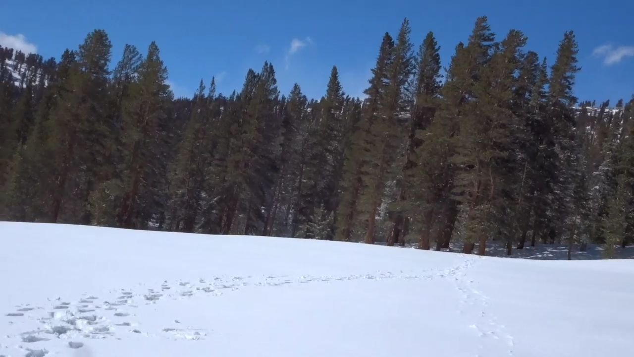
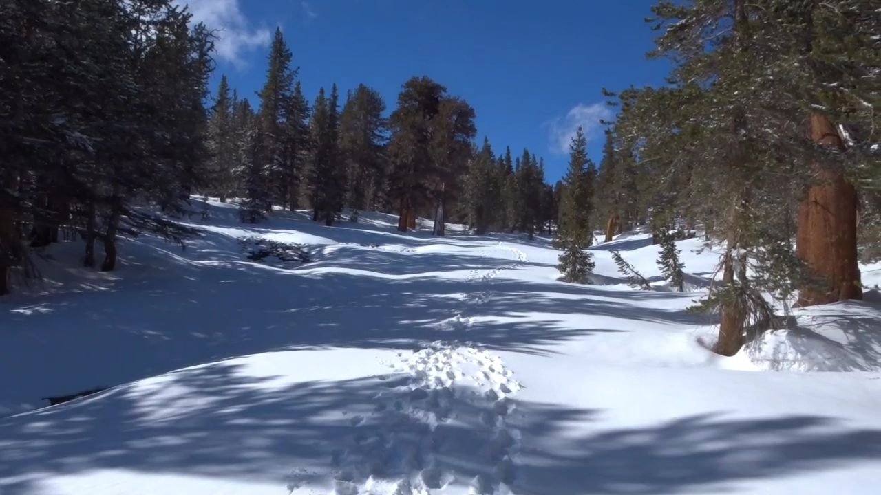
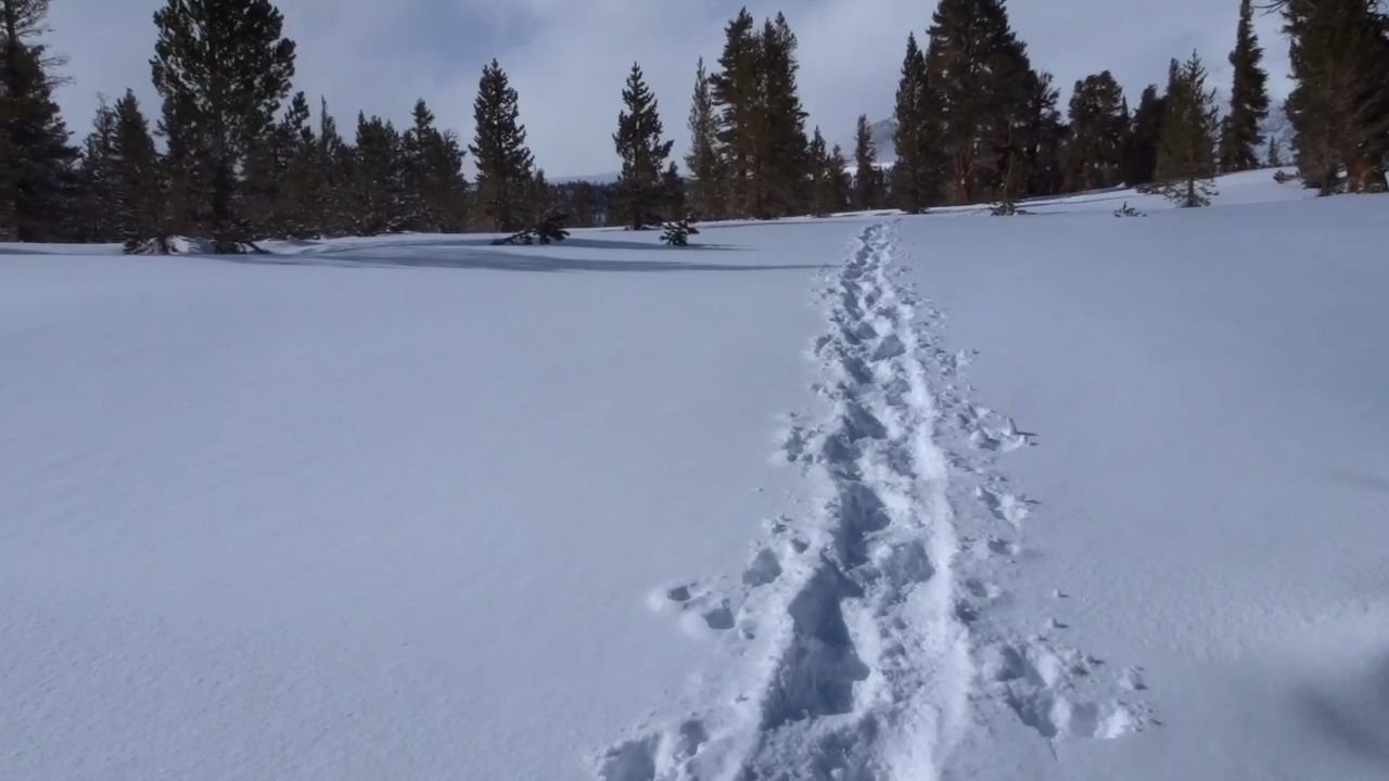
It was so beautiful with the fresh snow in the trees and on the ground. I could see that the mountains above were getting a lot of wind by the spindrift coming off the tops.
Obviously my attempt of climbing Mt Whitney would have to wait too another time. While the weather had cleared it would be a dangerous attempt to climb it in fresh snow and high winds.
Physically I was feeling good after my short day yesterday and rest today. The trail went back across the stream over the little log bridge then started climbing.
Unfortunately the group took the upper trail so that means I have now missed 0.7 miles of the PCT. I did not even consider going back by myself down the steep hill, in fresh deep snow to pick up the missing section. Safety takes priority over purity.
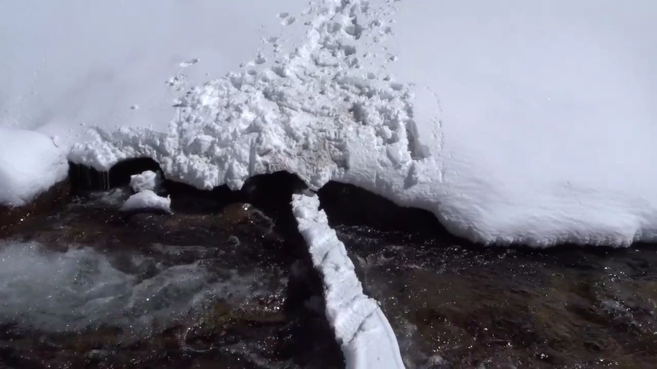
The trail climbed over a small hill and down the other side, went along the side of a hill and then climbed up to a saddle before dropping down to a river. There was a solid snow bridge over this which made it easy. Then there was another steep hill to climb over, another river to cross via snow bridge and a final climb to get to our campsite.
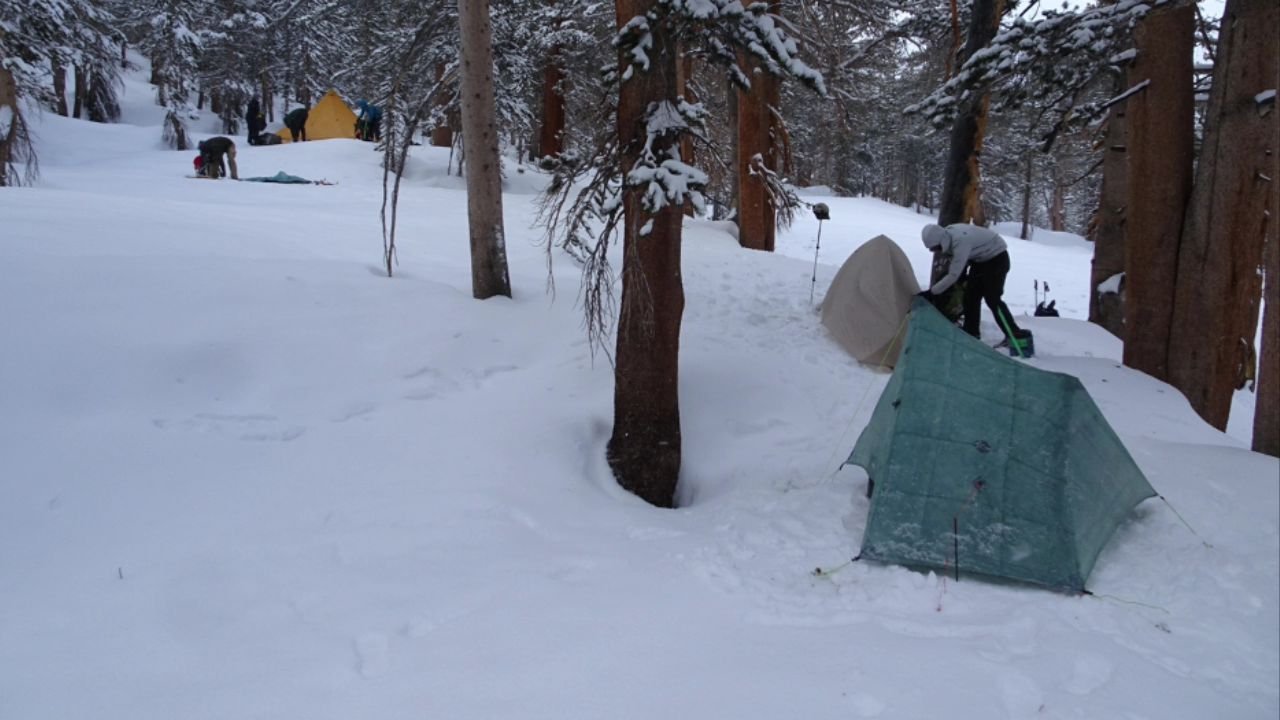
The weather had started to deteriorate and by the time we got to the campsite it was snowing again. We all hurriedly set up and dived into our tents. There was a short discussion about the time to get up and then it was dinner and bed.
Visits: 919
Thanks for sharing this amazing adventure of yours with us. The clicks are amazing. Looks there there was heavy snow fall and your tent almost got covered up with the snow. Good to know you are safe.
Hi Claire. You are welcome. It was a fun experience being in the tent while it was snowing
This is one of the best blog posts ever. Thank you for sharing!
And please don’t worry about the 0.7 miles of “trail” that you missed. It seems like you are committed to a continuous foot-path from Mexico to Canada, the most burly PCT hike, especially this year in the snow. I’m really impressed with your hiking. I can’t wait to read more about it.
Again, thanks for taking the time to share your adventure with us.
Thanks Glide.
Glad to see you’re back and safe. As you found out, back country ranger stations are not huts, but rather temporary tent structures built for summer accommodations.
Usually, back country rangers aren’t posted until June, by which time they are needed to police the vast crowds created by the JMT, Whitney and other popular hikes.
If you’re bored and looking for a good read, this is a great story about one ranger who went missing 20 years ago:
https://www.amazon.com/Last-Season-P-S-Eric-Blehm/dp/0060583010
PS You might consider looking into an InReach. Besides current, updated weather for any GPS coordinate, it provides two-way messaging and of course emergency beacon. I try and do an alpine hike every spring, and would never consider hitting the back country without one.
Good luck on the rest of your trip. Don’t worry about purity; the safest alpine routes for Glen & Mather don’t follow the dry trail line anyways.
Hi. I am carrying a Satellite Phone with an emergency SOS button so I am covered safety wise but I do like the weather function of the inreach.